Premier road cycling hotspot with legendary climbs and scenic routes.
Cycling routes from Les Rousses
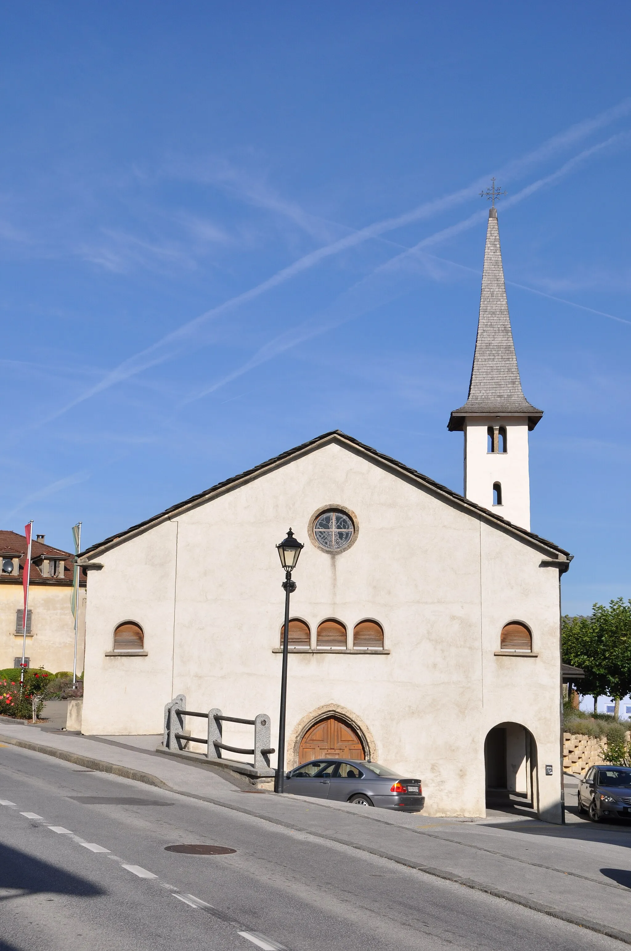
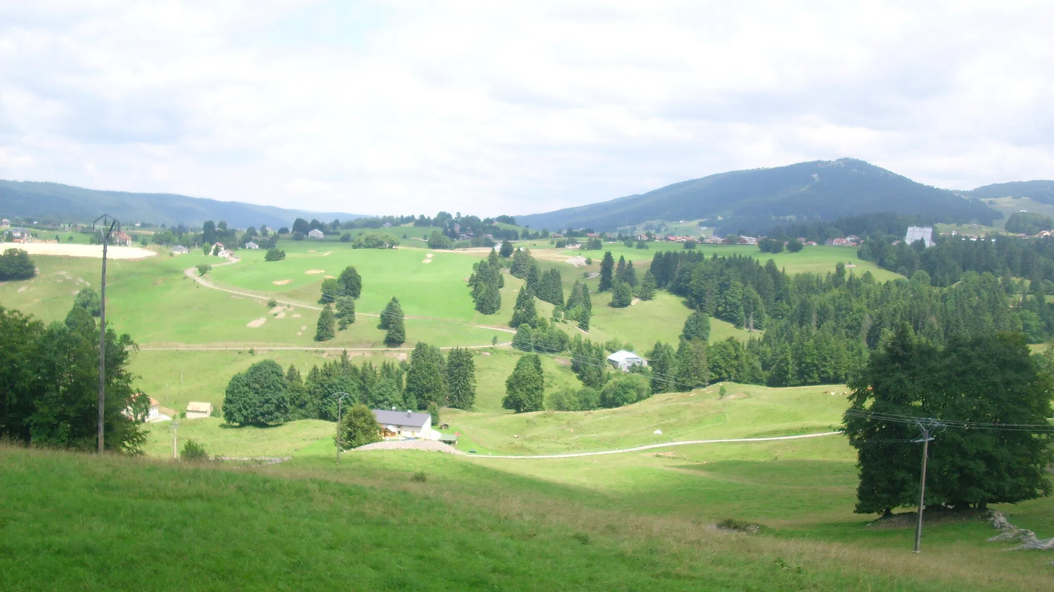
Les Rousses is a charming locality located in the Franche-Comté region of France. From a road cyclist's perspective, Les Rousses offers stunning mountainous scenery and challenging routes. The area is well known for its excellent road cycling opportunities and is often frequented by professional cyclists during training seasons. A well-known climb nearby is the Côte du Château de Joux, a demanding ascent that attracts many riders looking to test their climbing abilities. Additionally, Les Rousses hosts various cycling events and races throughout the year. For road cyclists seeking a thrilling and challenging experience, Les Rousses is a top destination.
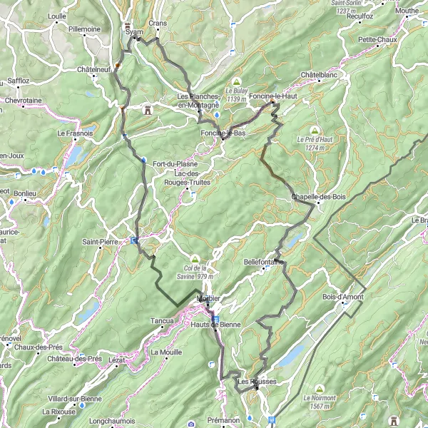
A challenging road route with epic mountain views
Prepare yourself for the ultimate road challenge near Les Rousses. This 101-kilometer route features an ascent of 1,836 meters, offering both physical and visual rewards. Highlights along the way include Morbier, a picturesque town known for its delicious cheese, and Mont Saint-Sorlin, a legendary climb that tests even the most seasoned cyclists. With its diverse highlights and challenging terrain, this route is perfect for experienced road cyclists seeking an epic adventure.

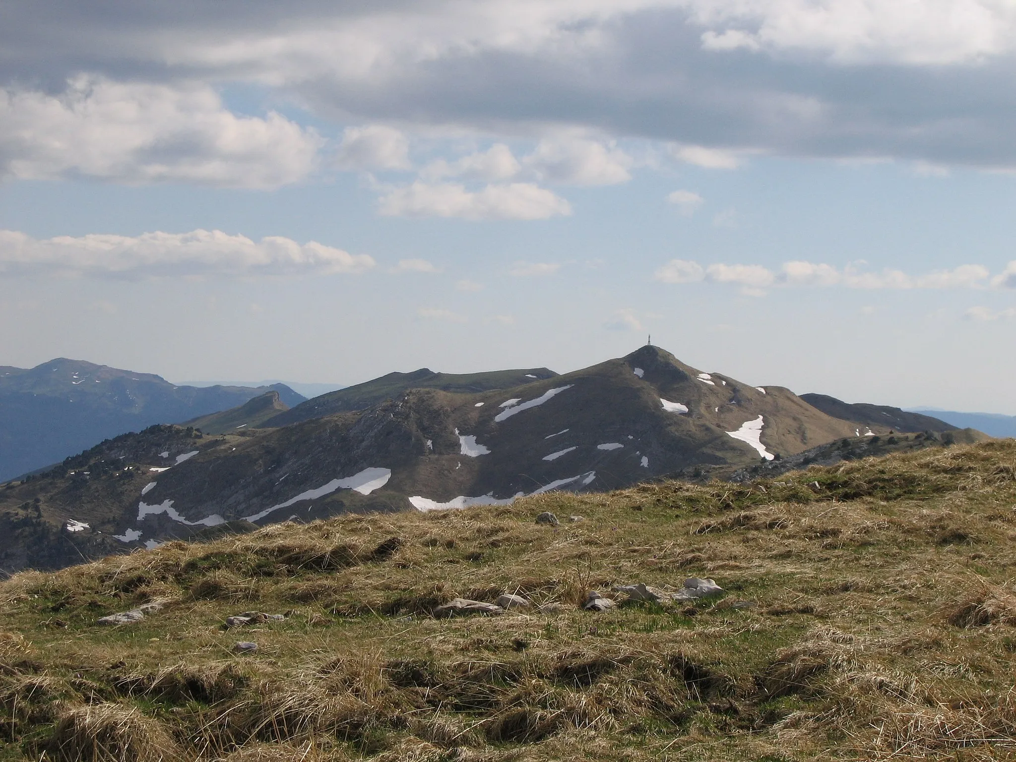
A mountainous gravel route for adventurous cyclists
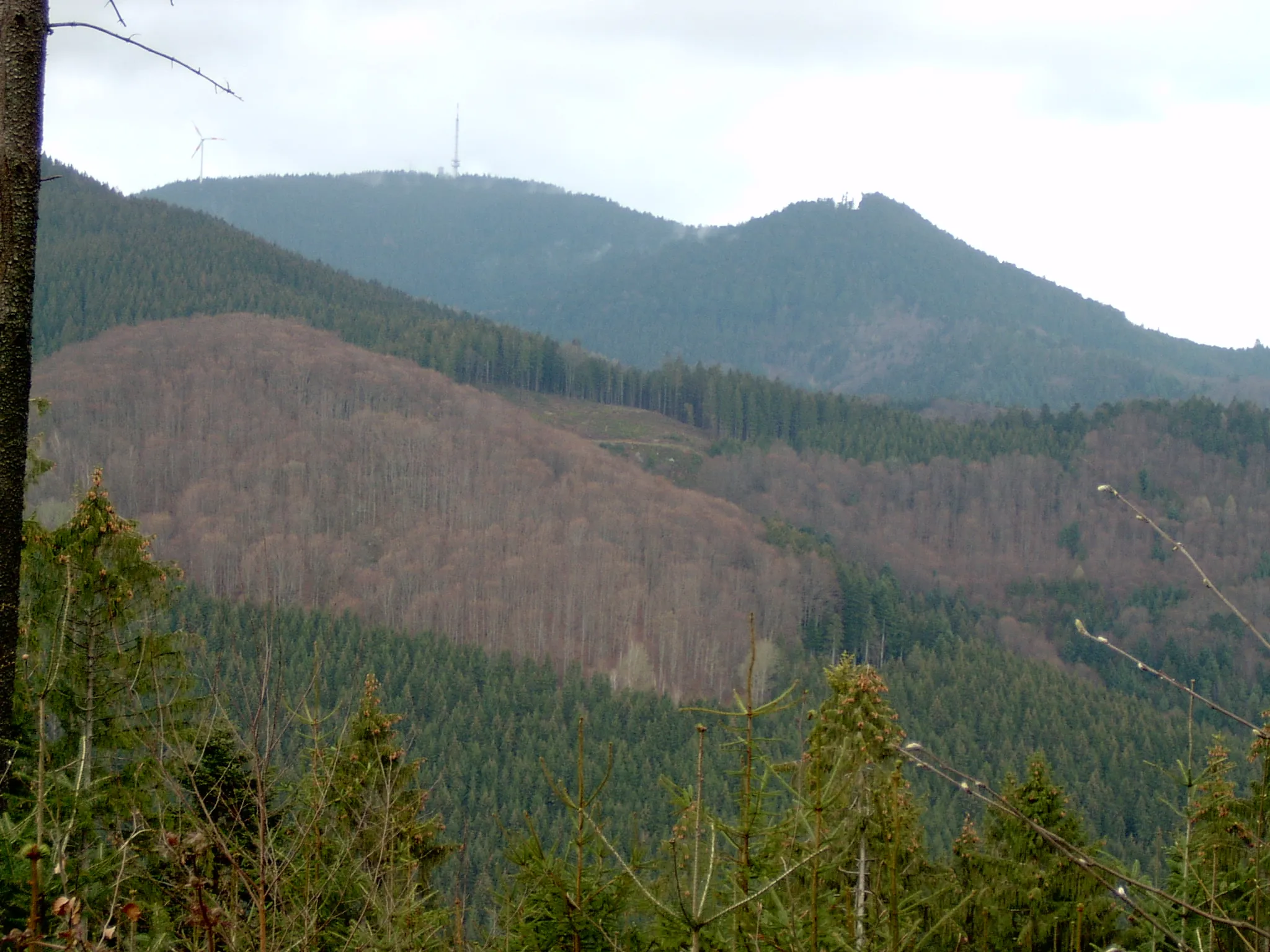
Embark on a mountainous gravel expedition near Les Rousses that will challenge even the most experienced cyclists. This 72-kilometer route features an ascent of 1,593 meters and showcases the diverse landscapes of the region. Highlights along the way include Roche fendue, a unique rock formation with a split boulder, and Gorges de la Langouette, impressive natural gorges carved by a river. With its epic climbs and stunning highlights, this route is perfect for adventurous cyclists seeking a challenging and rewarding experience.
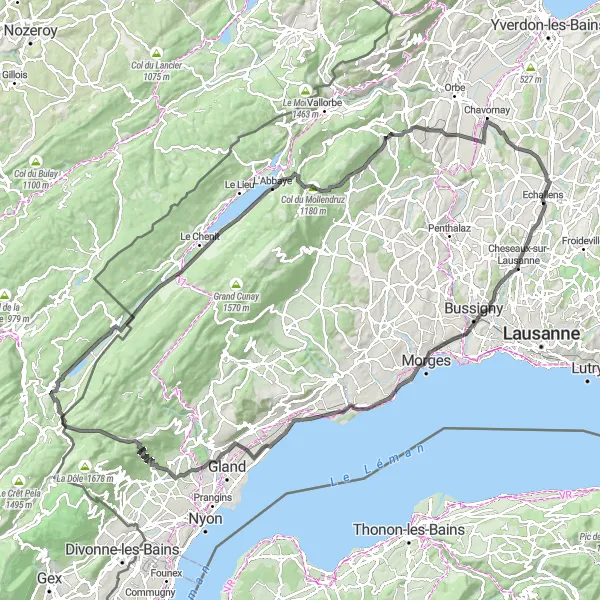
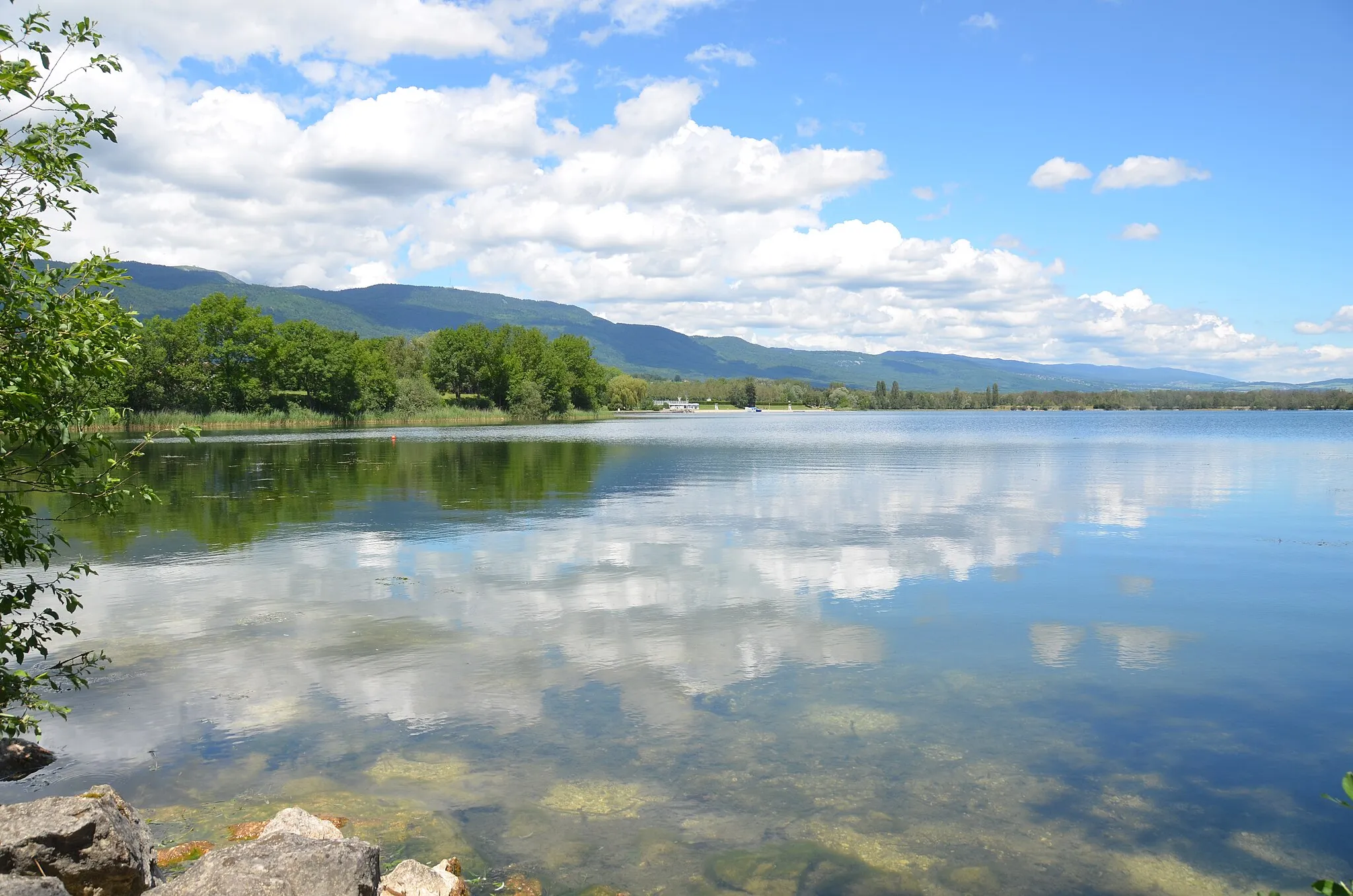
Experience the scenic beauty of Lac de Joux on this road cycling route starting near Les Rousses.
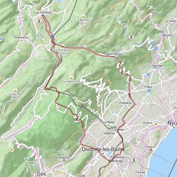
This 133-km route takes you through the stunning landscapes surrounding Les Rousses and offers breathtaking views of Roche de Lavenna and Sommet de la Cascade du Dard. With a total ascent of 1745 meters, this moderate route is suitable for well-trained amateur cyclists. The highlight of this route is Lac de Joux, a picturesque lake surrounded by lush green forests. This route is rated 3 out of 5 in terms of difficulty and 4 out of 5 in terms of epicness.
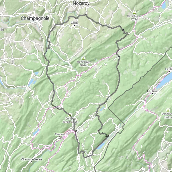
Discover the charming village of Foncine-le-Haut on this road cycling route starting near Les Rousses.
This 86-km route offers scenic views of Roche fendue and Gorges de la Langouette. With a total ascent of 1779 meters, this moderate route is suitable for well-trained amateur cyclists. The highlight of this route is Foncine-le-Haut, a picturesque village known for its traditional architecture and tranquil atmosphere. This route is rated 3 out of 5 in terms of difficulty and 3 out of 5 in terms of epicness.
Exploring Gravel Trails
An adventurous gravel route through stunning landscapes
Discover the beauty of Les Rousses and its surroundings on this 48-kilometer gravel route. With an ascent of 955 meters, this route offers a thrilling adventure for cyclists. Highlights along the way include Bélvédère de la Roche Blanche, a stunning viewpoint with panoramic views, and Roche de Lavenna, a rocky outcrop offering scenic vistas. This route is perfect for gravel lovers looking to explore the natural wonders of the region.
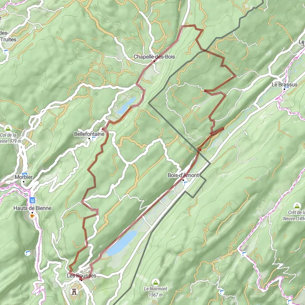
The Adventure to Remember
Embark on a thrilling gravel ride and explore the natural wonders near Les Rousses
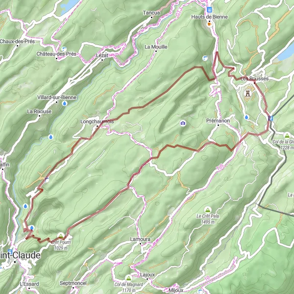
Experience an adventure like no other as you pedal through 52 kilometers of diverse terrain near Les Rousses. This gravel route promises excitement, with a challenging ascent of 1436 meters and breathtaking highlights along the way. Explore hidden gems like La Cure, a quaint village known for its rustic charm and picturesque surroundings. Marvel at the majestic Crêt Pourri, a prominent peak offering panoramic views of the surrounding mountains. Don't miss the enchanting Horse Tail Falls, where the cascading water creates a mesmerizing sight. Immerse yourself in the beauty and tranquility of Longchaumois, a tranquil village nestled among lush greenery. Finally, end your journey in Les Rousses, a hub for cycling enthusiasts and a gateway to the stunning landscapes of this region.

Embark on a gravel adventure and witness the charm of Les Rousses
Get ready for an enchanting experience as you cycle through the picturesque landscapes near Les Rousses. This gravel route offers stunning views, challenging terrains, and intriguing highlights along the way. With a moderate ascent of 1301 meters and a distance of 68 kilometers, it is suitable for well-trained amateurs seeking a thrilling cycling adventure. Explore hidden gems like the Bélvédère de la Roche Blanche and Roche de Lavenna, offering panoramic vistas and unforgettable moments. Immerse yourself in the natural beauty and tranquility of this region.
Les Rousses Gravel Adventure

Embark on a thrilling gravel adventure starting near Les Rousses.
This 79-km gravel route offers a unique off-road experience and takes you through beautiful landscapes and scenic surroundings. With a total ascent of 1397 meters, this route is suitable for cyclists with off-road cycling skills. The highlight of this route is Roche Bernard, a striking rock formation that offers breathtaking views of the surrounding nature. This route is rated 2 out of 5 in terms of difficulty and 3 out of 5 in terms of epicness.
The Gravel Adventure
An exhilarating gravel route with stunning views
This gravel route near Les Rousses offers a thrilling adventure for cyclists. With a distance of 50 kilometers and an ascent of 1,184 meters, this route will challenge your skills. The highlights along the way include Saint-Cergue, a charming town known for its beautiful landscapes, and the Fort des Rousses, a historic fort with breathtaking views. Overall, this route is perfect for gravel enthusiasts seeking a memorable experience.
Les Rousses Explorer
Explore the breathtaking beauty of Les Rousses on this road cycling route starting near Les Rousses.
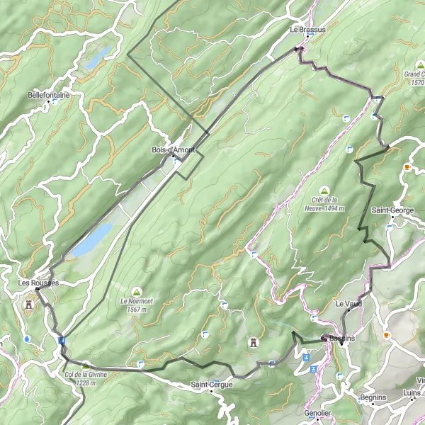
This 58-km route offers scenic views of Roche de Lavenna and Col de la Givrine. With a total ascent of 1313 meters, this route is suitable for well-trained amateur cyclists. The highlight of this route is Viewpoint, which offers panoramic views of the surrounding mountains and valleys. This route is rated 2 out of 5 in terms of difficulty and 3 out of 5 in terms of epicness.
Cycling routes nearby:


Nearby regions: