![Cover image](https://images.tarmacs.app/cycling-routes/covers/france/franche-comte/bois-d-amont-2.webp)
Bois-d'Amont: Cycling Paradise in Franche-Comté, France
Cycling routes from Bois-d'Amont
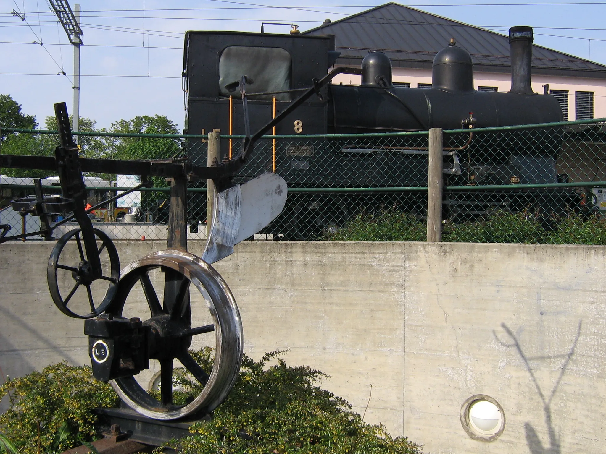
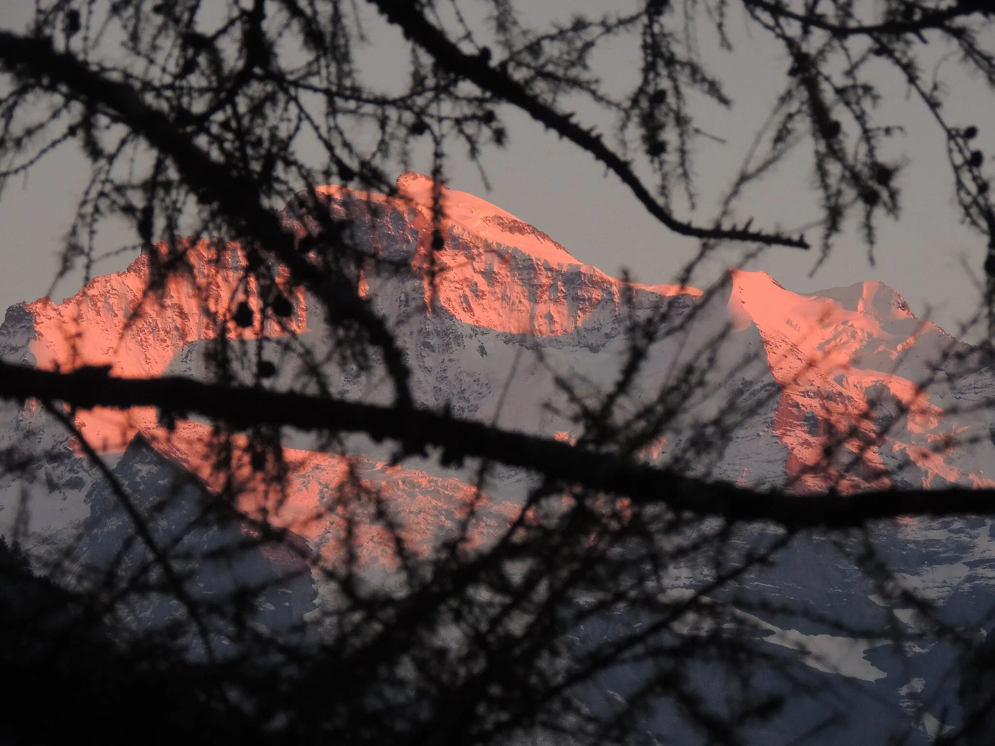
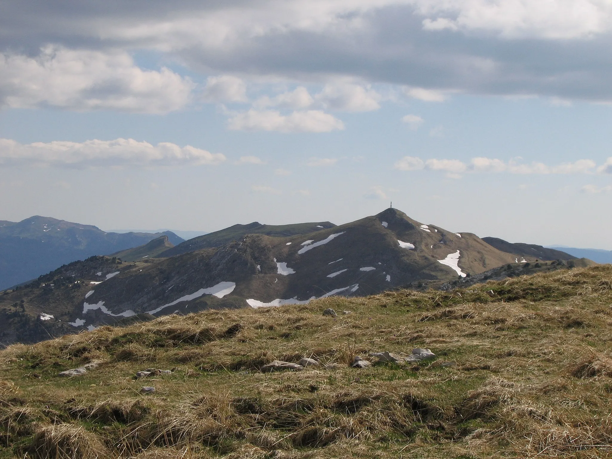
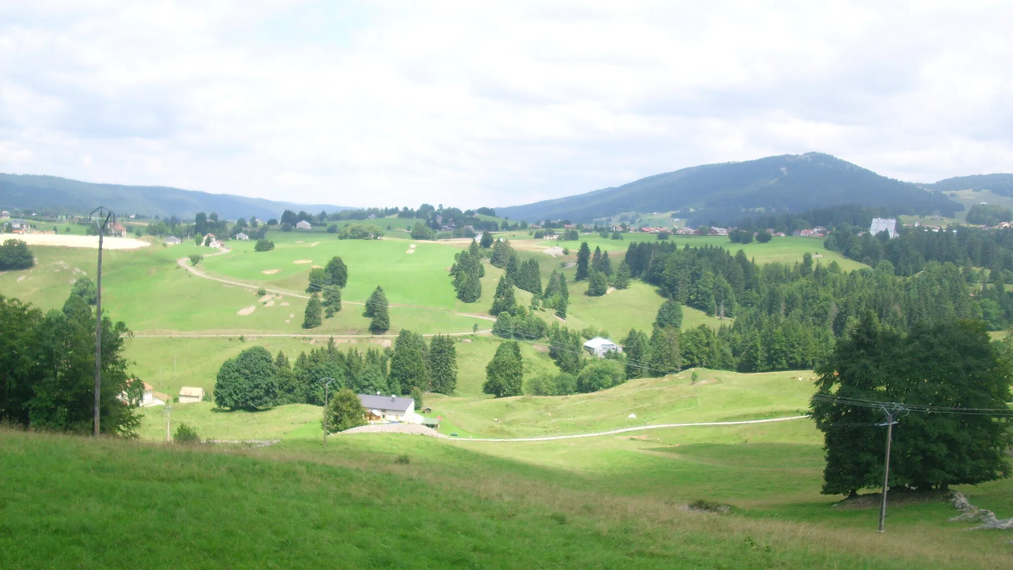
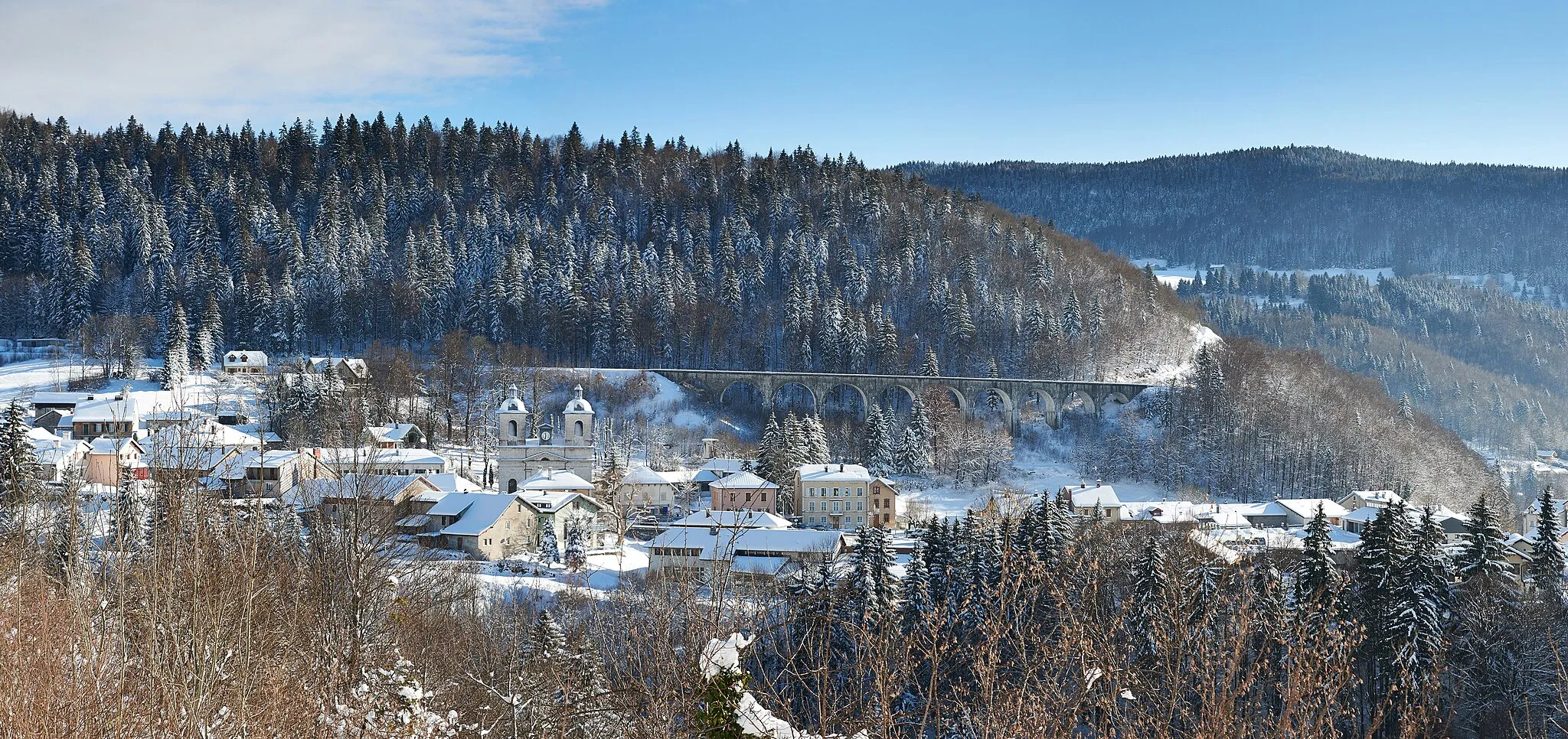
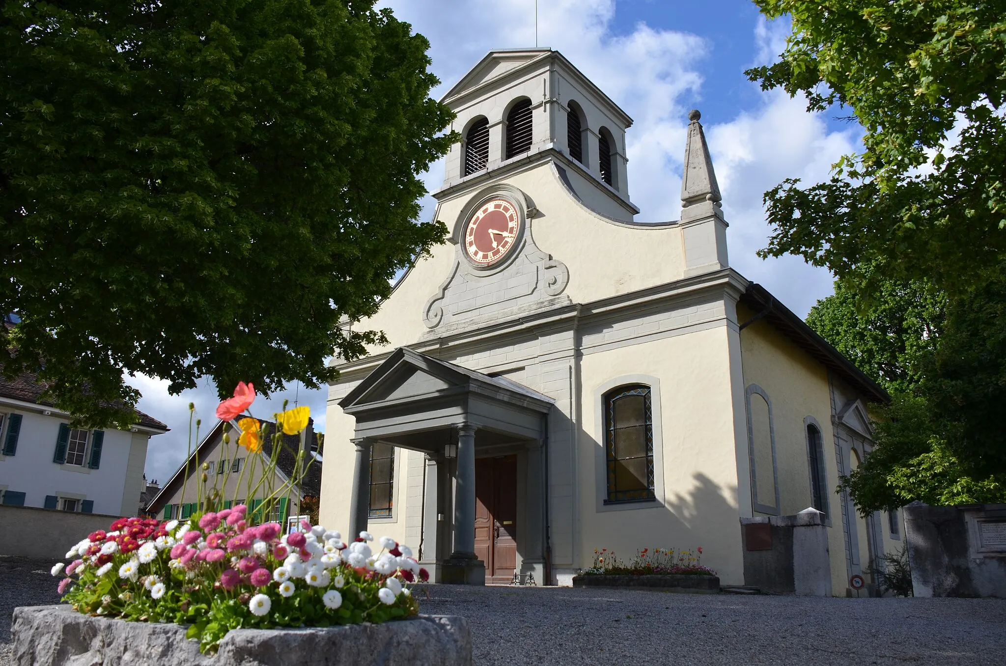
Bois-d'Amont, located in Franche-Comté, France, offers amazing opportunities for road and gravel cyclists. The locality features picturesque landscapes with challenging terrains, making it an ideal destination for cycling enthusiasts. The region is known for its well-maintained cycling routes and scenic beauty. Nearby, you can find the famous climb of Col de la Faucille, which attracts cyclists from all over the world. Bois-d'Amont is a cycling paradise that should not be missed by any cyclist visiting the area.
![Map miniature of "Scenic Road Cycling to Belvédère and Genolier" cycling inspiration in Franche-Comté, France. Generated by Tarmacs.app cycling route planner](https://images.tarmacs.app/cycling-routes/routemaps/600/france/franche-comte/bois-d-amont/road/283195.webp)
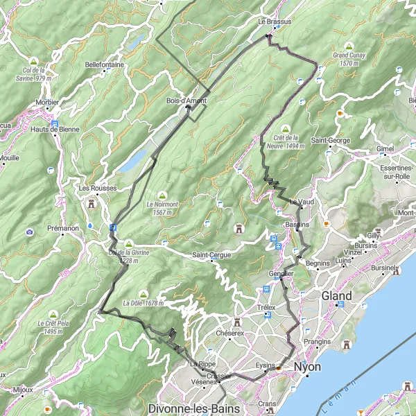
Embark on a scenic road cycling journey to the enchanting Belvédère and picturesque Genolier near Bois-d'Amont.
This road cycling route offers breathtaking scenery, including the impressive Belvédère viewpoint and the charming village of Genolier. With a total ascent of 1672 meters and a distance of 79 kilometers, this route is suitable for well-trained amateur cyclists seeking a mix of challenging climbs and scenic vistas.
![Map miniature of "Road Cycling: Bois-d'Amont to Col de la Savine" cycling inspiration in Franche-Comté, France. Generated by Tarmacs.app cycling route planner](https://images.tarmacs.app/cycling-routes/routemaps/600/france/franche-comte/bois-d-amont/road/283381.webp)
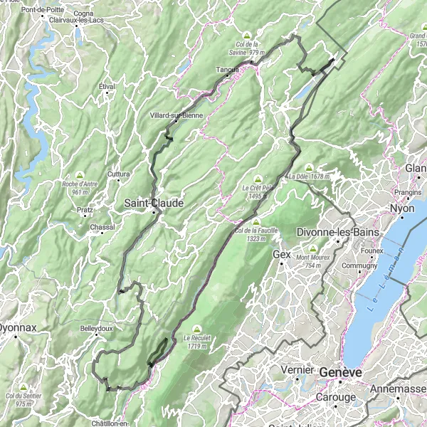
Conquer the challenging road route from Bois-d'Amont to Col de la Savine
Embark on an epic road cycling adventure from Bois-d'Amont to Col de la Savine. This 146-kilometer route presents a significant ascent of 3,564 meters and promises extraordinary views and thrilling challenges. Push your limits and experience the joy of conquering difficult terrain.
![Map miniature of "Gravel Adventure: Roche Fendue to Roche Bernard" cycling inspiration in Franche-Comté, France. Generated by Tarmacs.app cycling route planner](https://images.tarmacs.app/cycling-routes/routemaps/600/france/franche-comte/bois-d-amont/gravel/283216.webp)
Embark on an extraordinary gravel adventure from Roche Fendue to Roche Bernard
Prepare for an unforgettable gravel cycling journey from Roche Fendue to Roche Bernard. Covering a distance of 69 kilometers with an ascent of 1,366 meters, this route showcases the diverse landscapes and natural wonders of the Jura Mountains. Immerse yourself in the beauty of the region as you traverse rugged terrains and discover breathtaking highlights along the way.
![Map miniature of "Scenic Road Bike Loop to Les Mortes and Le Lieu" cycling inspiration in Franche-Comté, France. Generated by Tarmacs.app cycling route planner](https://images.tarmacs.app/cycling-routes/routemaps/600/france/franche-comte/bois-d-amont/road/283223.webp)
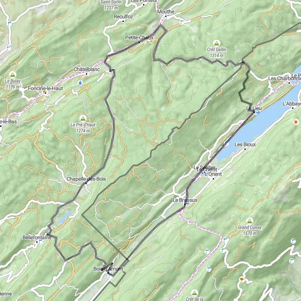
Experience a stunning road bike loop to Les Mortes and Le Lieu near Bois-d'Amont.
This scenic road bike loop offers picturesque landscapes and charming villages, including Les Mortes and Le Lieu. With a total ascent of 991 meters and a distance of 68 kilometers, this route is suitable for intermediate level cyclists looking to enjoy a leisurely ride and take in the beautiful surroundings.
![Map miniature of "Challenging Road Cycling Adventure to Château de Morges and Crêt de la Neuve" cycling inspiration in Franche-Comté, France. Generated by Tarmacs.app cycling route planner](https://images.tarmacs.app/cycling-routes/routemaps/600/france/franche-comte/bois-d-amont/road/283213.webp)
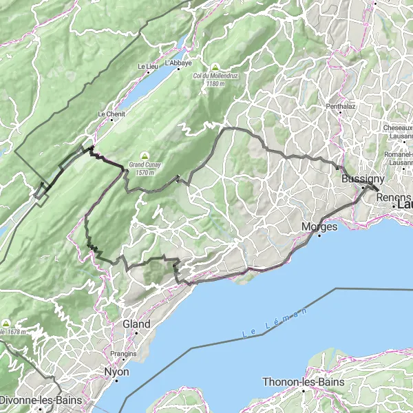
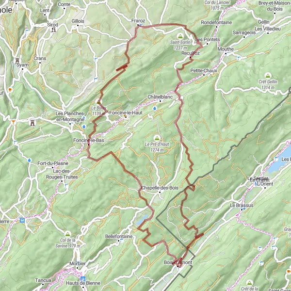
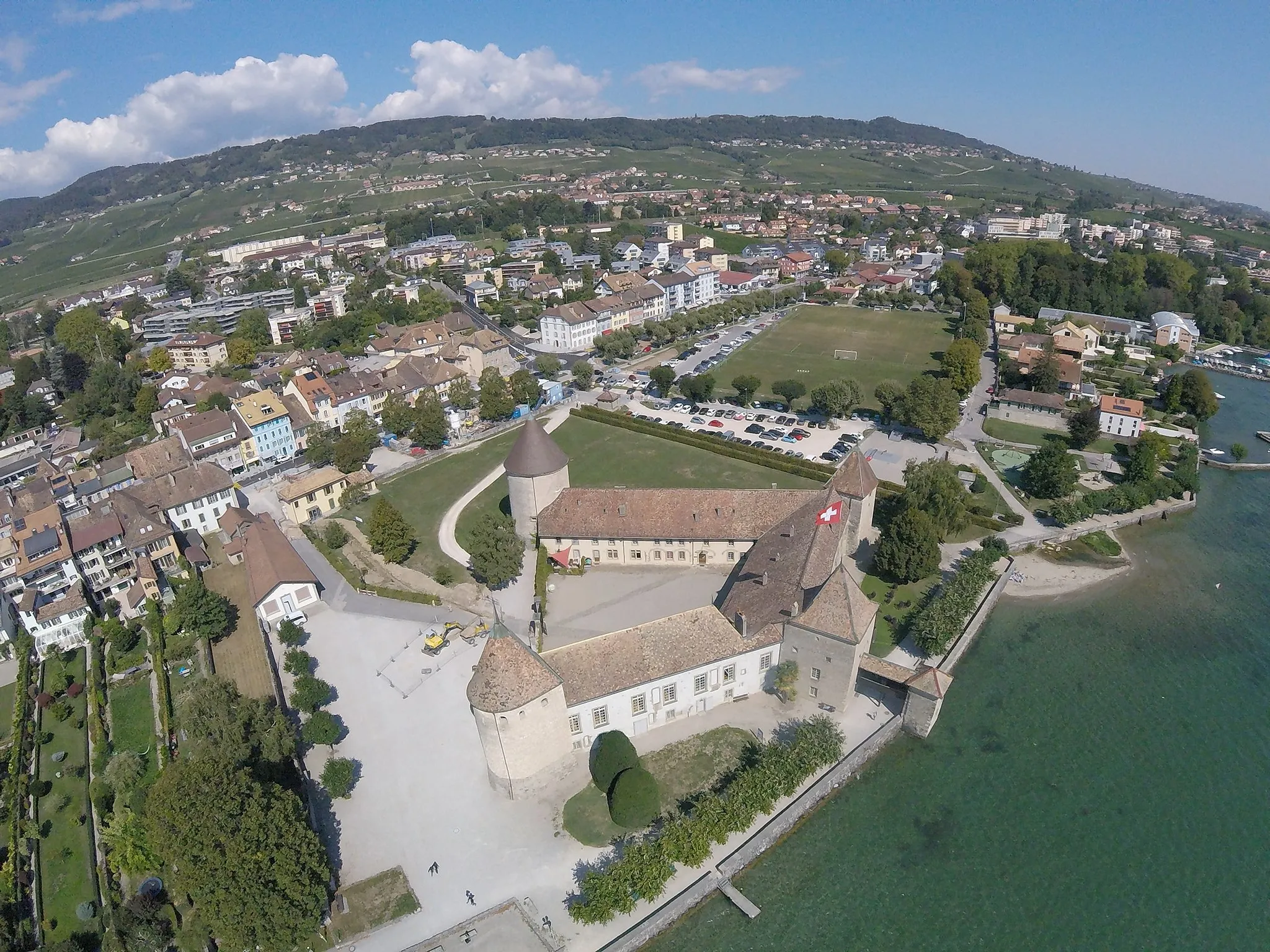
Take on the challenge of a scenic road cycling adventure to Château de Morges and Crêt de la Neuve near Bois-d'Amont.
This challenging road cycling route offers stunning vistas and impressive landmarks, including the majestic Château de Morges and the breathtaking Crêt de la Neuve climb. With a total ascent of 2170 meters and a distance of 118 kilometers, this route is suitable for experienced amateur cyclists seeking a thrilling and rewarding cycling experience.
![Map miniature of "Gravel Tour: Bois-d'Amont to Bellefontaine" cycling inspiration in Franche-Comté, France. Generated by Tarmacs.app cycling route planner](https://images.tarmacs.app/cycling-routes/routemaps/600/france/franche-comte/bois-d-amont/gravel/283196.webp)
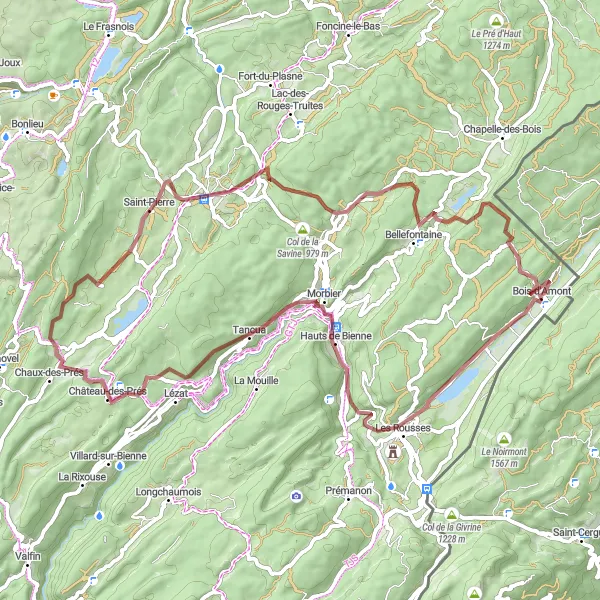
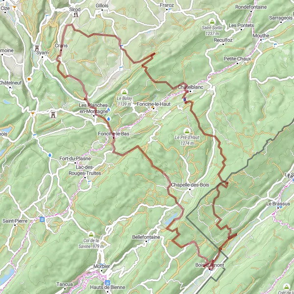
Explore the stunning gravel routes from Bois-d'Amont to Bellefontaine
Discover the beautiful landscapes of Franche-Comté as you cycle from Bois-d'Amont to Bellefontaine. This gravel route spans 63 kilometers and includes a challenging ascent of 1,485 meters. Get ready for scenic views, charming villages, and unforgettable highlights along the way.
![Map miniature of "Road Journey: Exploring the Jura Mountains and Lakes" cycling inspiration in Franche-Comté, France. Generated by Tarmacs.app cycling route planner](https://images.tarmacs.app/cycling-routes/routemaps/600/france/franche-comte/bois-d-amont/road/283208.webp)
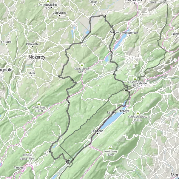
Embark on a road journey through the enchanting landscapes of the Jura Mountains and Lakes
Set out on a road cycling expedition through the captivating landscapes of the Jura Mountains and Lakes. Spanning 121 kilometers and with an ascent of 1,733 meters, this scenic route captivates with its idyllic villages, natural wonders, and panoramic vistas.
![Map miniature of "Gravel Adventure to Roche Bernard and Cascade du Bief de la Ruine" cycling inspiration in Franche-Comté, France. Generated by Tarmacs.app cycling route planner](https://images.tarmacs.app/cycling-routes/routemaps/600/france/franche-comte/bois-d-amont/gravel/283205.webp)
Discover the picturesque Roche Bernard and the enchanting Cascade du Bief de la Ruine on this challenging gravel route near Bois-d'Amont.
This gravel cycling route offers a scenic adventure through Franche-Comté, with highlights including Roche Bernard, a distinctive rock formation, and the stunning Cascade du Bief de la Ruine waterfall. With a total ascent of 1893 meters and a distance of 81 kilometers, this challenging route is suitable for well-trained amateur cyclists seeking a unique and memorable cycling experience.
![Map miniature of "Gravel Adventure: La Combe-des-Mines to Col du Marchairuz" cycling inspiration in Franche-Comté, France. Generated by Tarmacs.app cycling route planner](https://images.tarmacs.app/cycling-routes/routemaps/600/france/franche-comte/bois-d-amont/gravel/283210.webp)
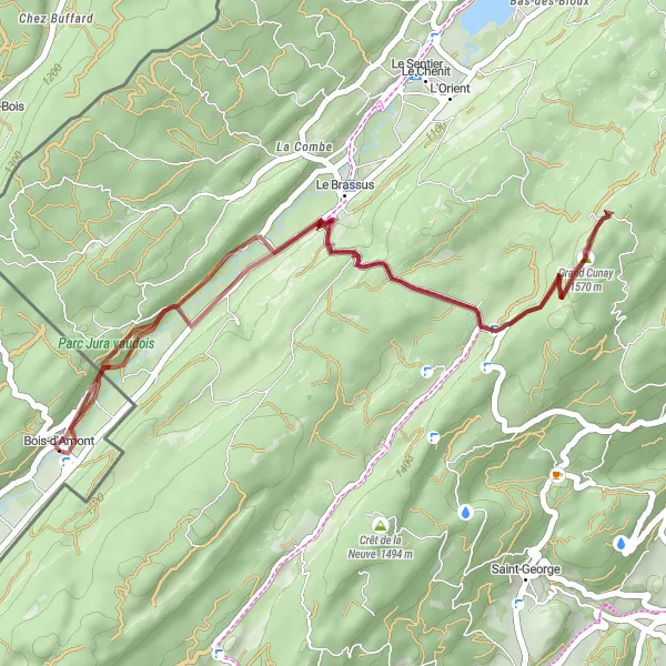
Embark on a thrilling gravel adventure from La Combe-des-Mines to Col du Marchairuz
Satisfy your sense of adventure as you undertake an exhilarating gravel cycling journey from La Combe-des-Mines to Col du Marchairuz. This 37-kilometer route encompasses 947 meters of ascent, promising a fulfilling experience with rugged terrains, pristine wilderness, and awe-inspiring views.
![Map miniature of "Gravel Adventure to La Chaumoz and Chaux-Neuve" cycling inspiration in Franche-Comté, France. Generated by Tarmacs.app cycling route planner](https://images.tarmacs.app/cycling-routes/routemaps/600/france/franche-comte/bois-d-amont/gravel/283281.webp)
Embark on a thrilling gravel adventure to La Chaumoz and Chaux-Neuve near Bois-d'Amont.
This gravel adventure takes you through stunning landscapes, including the picturesque La Chaumoz and the charming village of Chaux-Neuve. With a total ascent of 1792 meters and a distance of 79 kilometers, this route is suitable for experienced gravel cyclists seeking a challenging and rewarding outdoor experience.
Cycling routes nearby:
![Image of Les Rousses](https://images.tarmacs.app/cycling-routes/covers/france/franche-comte/les-rousses-5.webp)
![Image of Morbier](https://images.tarmacs.app/cycling-routes/covers/france/franche-comte/morbier-4.webp)
![Image of Arzier](https://images.tarmacs.app/cycling-routes/covers/switzerland/region-lemanique/arzier-4.webp)
![Image of Saint-Cergue](https://images.tarmacs.app/cycling-routes/covers/switzerland/region-lemanique/saint-cergue-4.webp)
![Image of Le Chenit](https://images.tarmacs.app/cycling-routes/covers/switzerland/region-lemanique/le-chenit-5.webp)
![Image of Saint-Laurent-en-Grandvaux](https://images.tarmacs.app/cycling-routes/covers/france/franche-comte/saint-laurent-en-grandvaux-4.webp)
![Image of Gland](https://images.tarmacs.app/cycling-routes/covers/switzerland/region-lemanique/gland-5.webp)
![Image of Rolle](https://images.tarmacs.app/cycling-routes/covers/switzerland/region-lemanique/rolle-4.webp)
![Image of Prangins](https://images.tarmacs.app/cycling-routes/covers/switzerland/region-lemanique/prangins-4.webp)
Nearby regions:
![Image of Région lémanique](https://images.tarmacs.app/cycling-routes/covers/switzerland/region-lemanique/echallens-1.webp)
![Image of Espace Mittelland](https://images.tarmacs.app/cycling-routes/covers/switzerland/espace-mittelland/matten-1.webp)
![Image of Nordwestschweiz](https://images.tarmacs.app/cycling-routes/covers/switzerland/nordwestschweiz/schoftland-2.webp)
![Image of Freiburg](https://images.tarmacs.app/cycling-routes/covers/germany/freiburg/binzen-3.webp)
![Image of Bourgogne](https://images.tarmacs.app/cycling-routes/covers/france/bourgogne/tournus-4.webp)
![Image of Alsace](https://images.tarmacs.app/cycling-routes/covers/france/alsace/ittenheim-4.webp)
![Image of Champagne-Ardenne](https://images.tarmacs.app/cycling-routes/covers/france/champagne-ardenne/nouvion-sur-meuse-2.webp)
![Image of Lorraine](https://images.tarmacs.app/cycling-routes/covers/france/lorraine/valmont-4.webp)
![Image of Rhône-Alpes](https://images.tarmacs.app/cycling-routes/covers/france/rhone-alpes/gex-5.webp)