Cycling delights await in Saint-Cergue, Switzerland
Cycling routes from Saint-Cergue
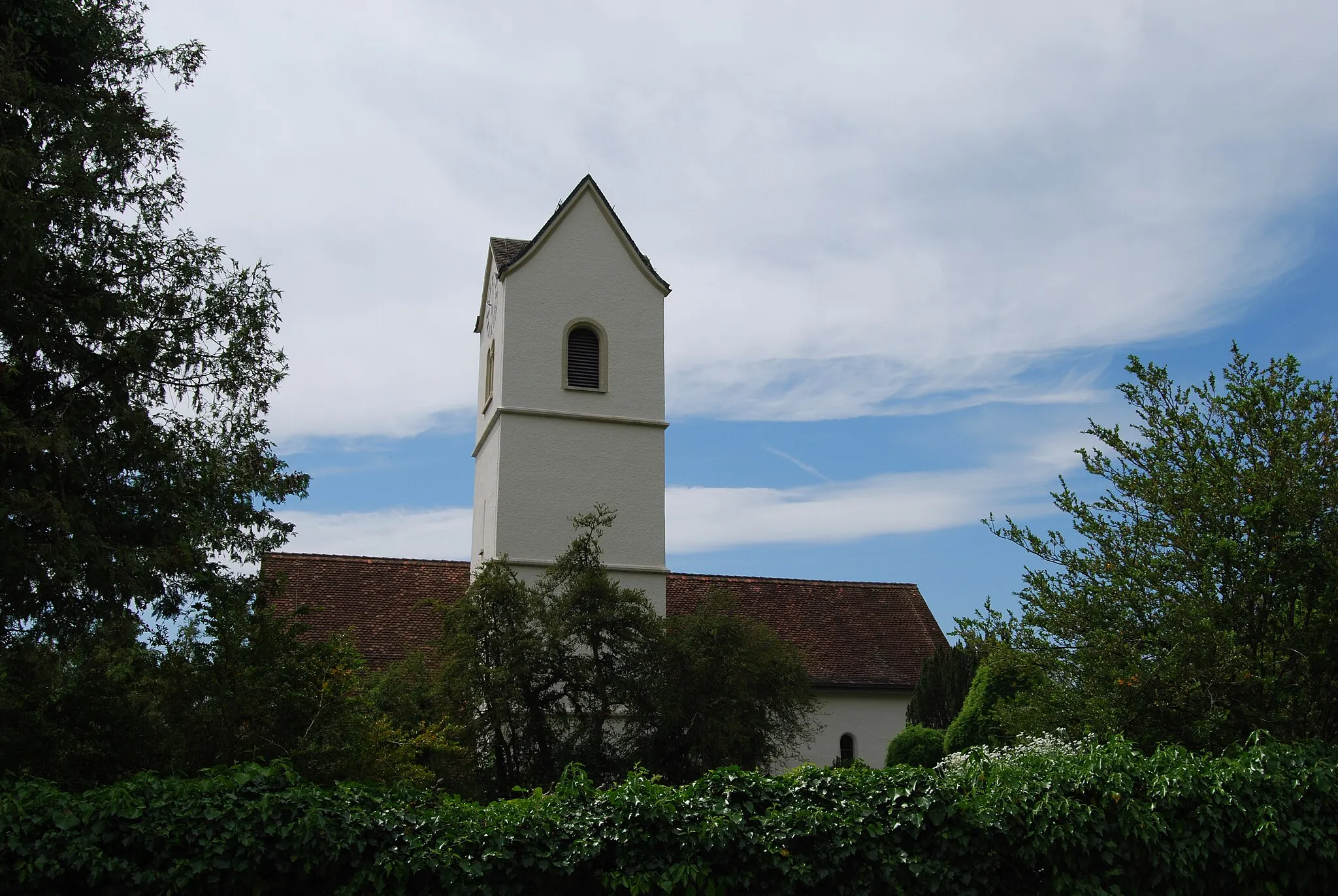
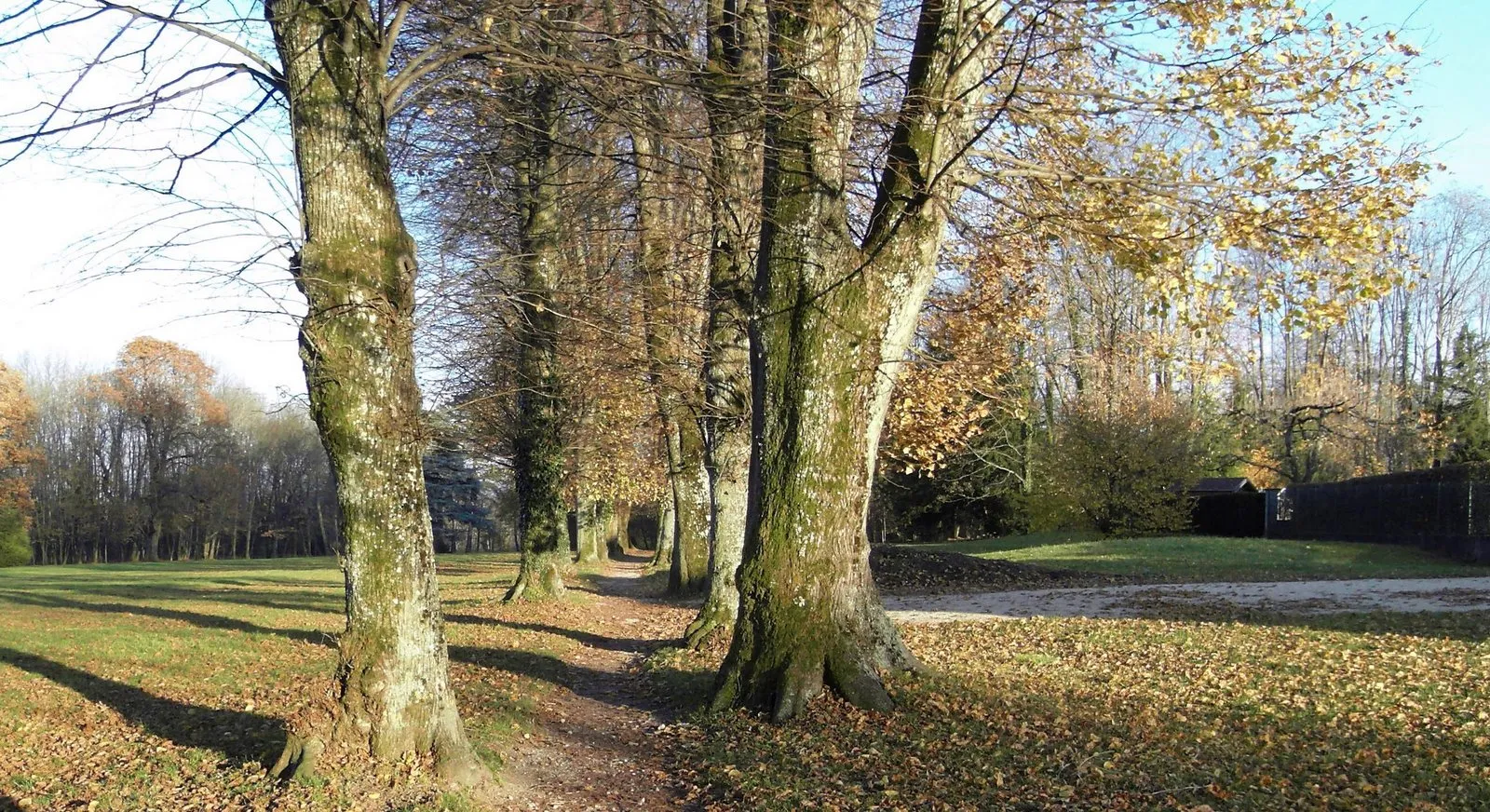
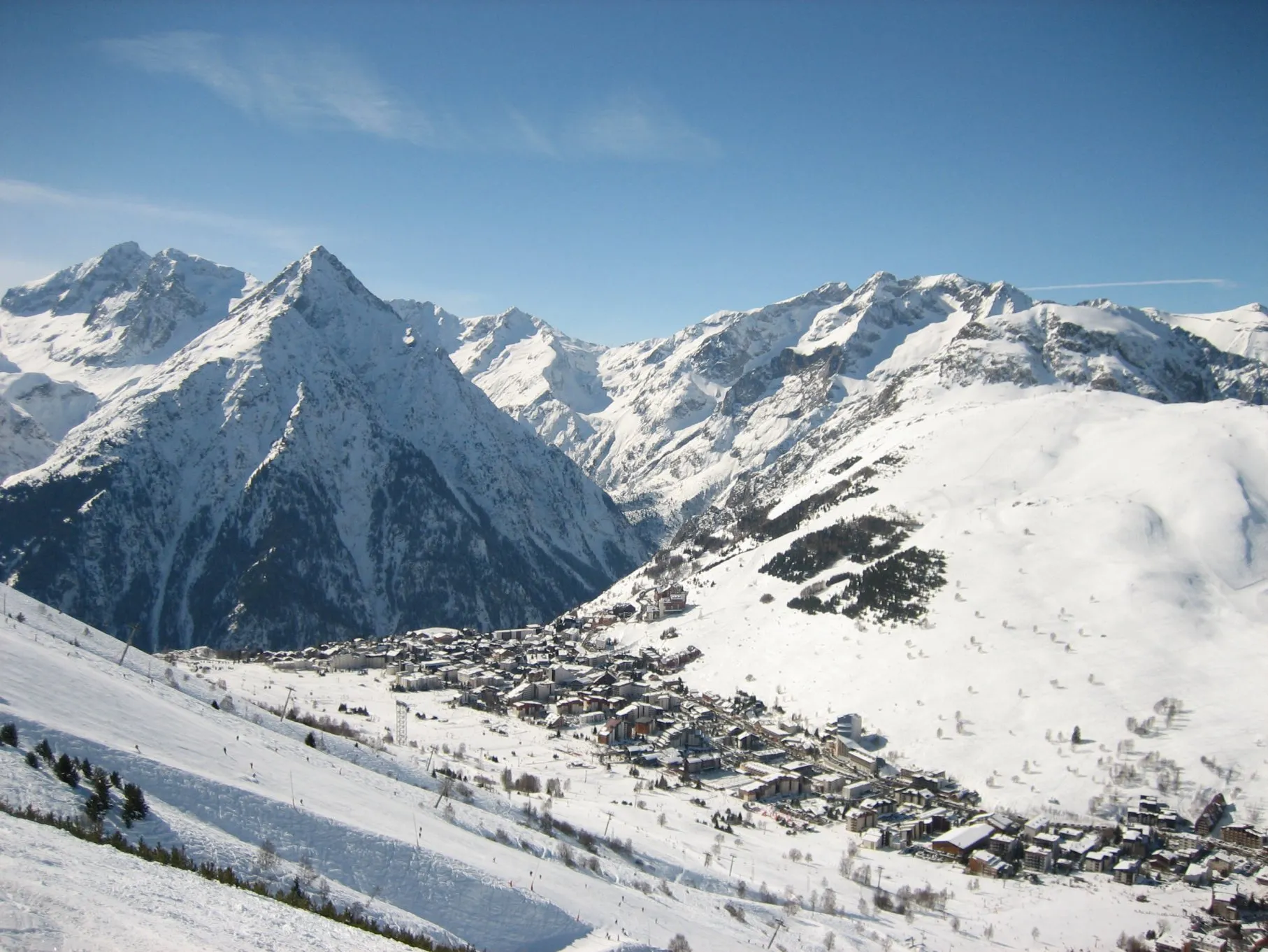
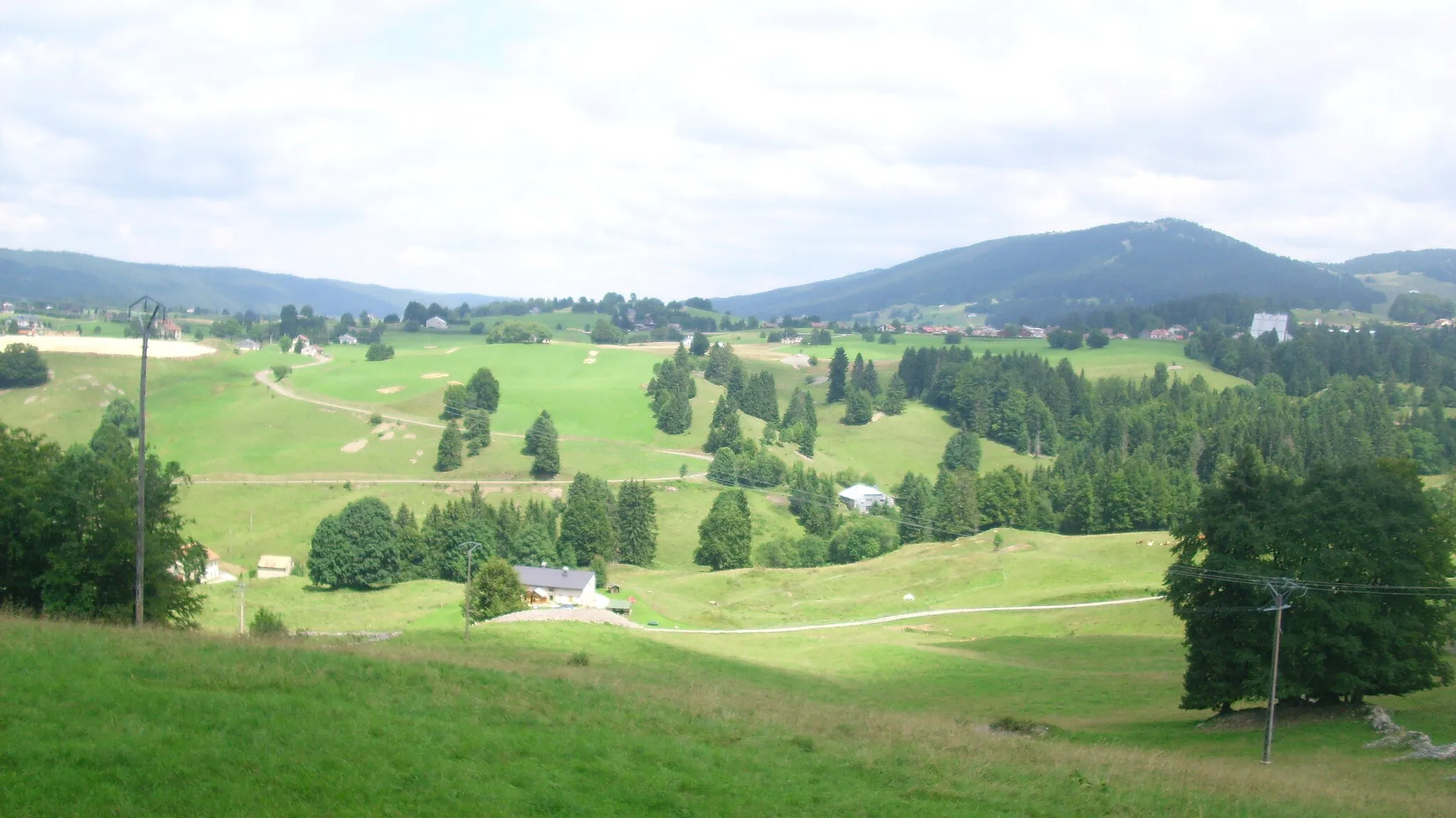
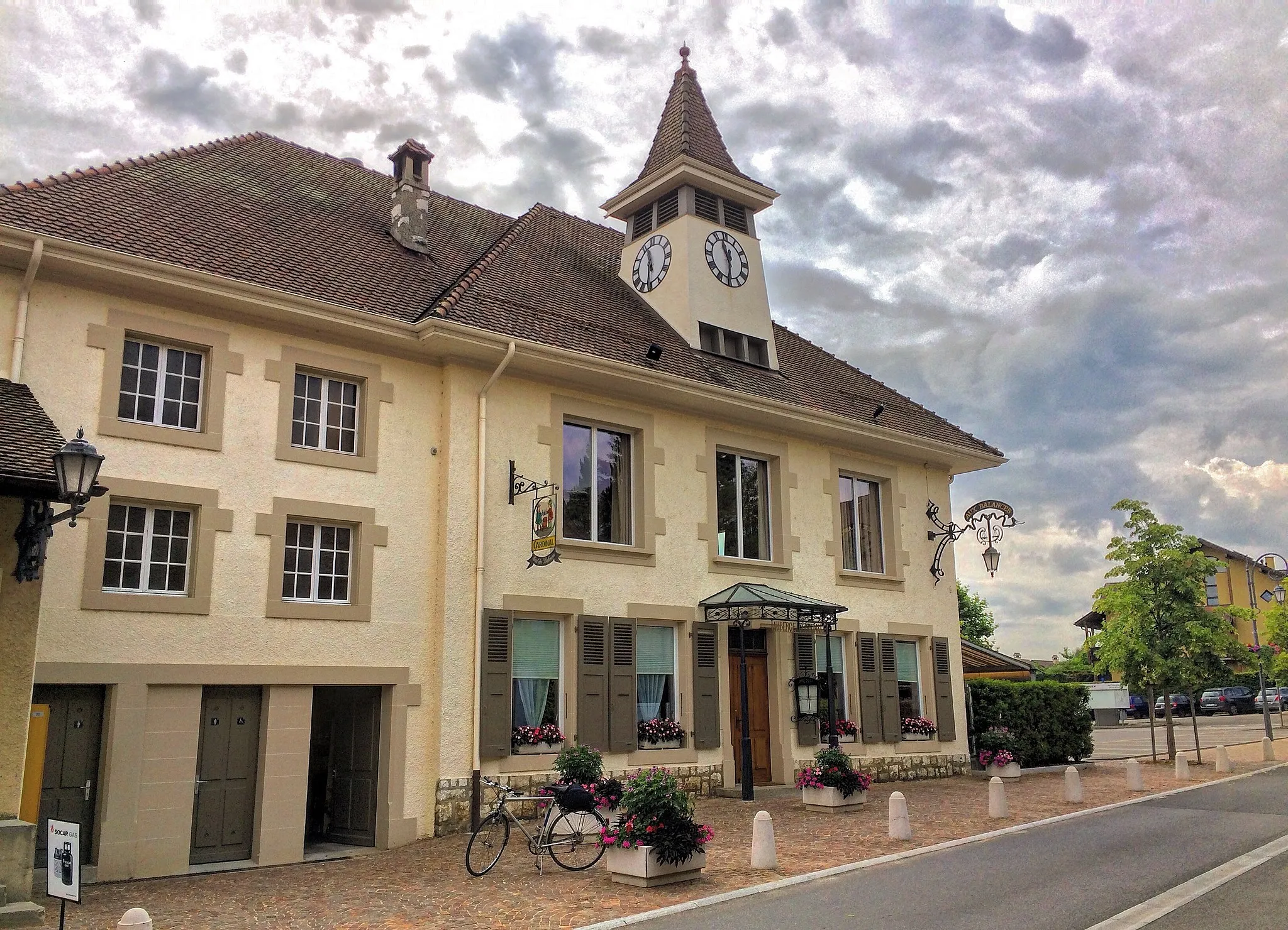
Saint-Cergue in Région lémanique, Switzerland, is a locality that offers excellent cycling opportunities for both road and gravel cyclists. The region features well-paved roads with minimal traffic, allowing cyclists to enjoy their rides in peace. Saint-Cergue is surrounded by picturesque landscapes, including stunning mountains and lush valleys. Road cyclists will appreciate the challenging climbs in the area, while gravel cyclists can venture off the beaten path and explore the nearby forest trails. Additionally, Saint-Cergue is close to Col de la Givrine, a famous climb known for its scenic beauty and challenging ascent. It is a must-visit for cyclists seeking both natural beauty and thrilling rides.
Embark on an epic road cycling adventure from Saint-Cergue to Arzier and conquer legendary climbs along the way.
Experience the thrill of road cycling on this epic 93-kilometer loop starting from Saint-Cergue. Conquer legendary climbs like Col de la Givrine and Col du Marchairuz, and soak in the breathtaking beauty of the Région lémanique. With 1,962 meters of ascent, this route is a challenge for experienced cyclists.
Saint-Cergue Loop
Explore the stunning landscapes and highlights near Saint-Cergue on this road cycling loop.
This road cycling route starting near Saint-Cergue takes you through beautiful landscapes and highlights of the region. With a distance of 85 km and an ascent of 1754 m, it offers a moderate challenge for well-trained amateur cyclists. The route passes through picturesque villages and offers breathtaking views of the surrounding countryside. Overall, it is a rewarding and enjoyable cycling experience.

Embark on an adventurous gravel cycling journey exploring the varied terrain near Saint-Cergue.
This gravel cycling route starting near Saint-Cergue takes riders on a thrilling and diverse adventure through the picturesque surroundings. Covering a distance of 110 km and an ascent of 2197 m, it is a challenging route suited for experienced gravel cyclists. Along the way, cyclists will encounter rugged trails, beautiful lakes, and charming villages. It offers a captivating experience for those seeking both physical endurance and natural beauty.

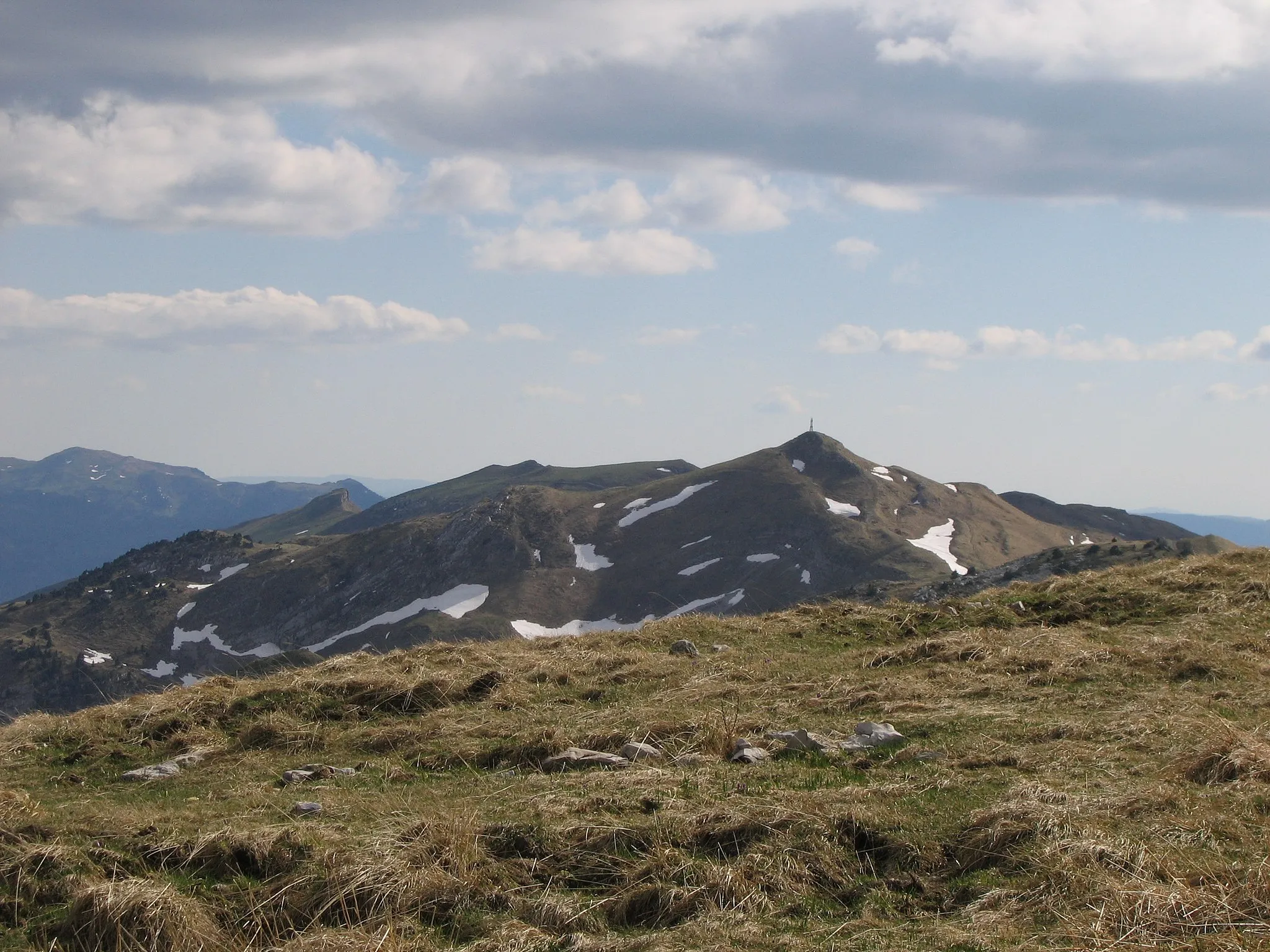
Conquer the challenging Jura Mountain climbs on this epic road cycling tour.
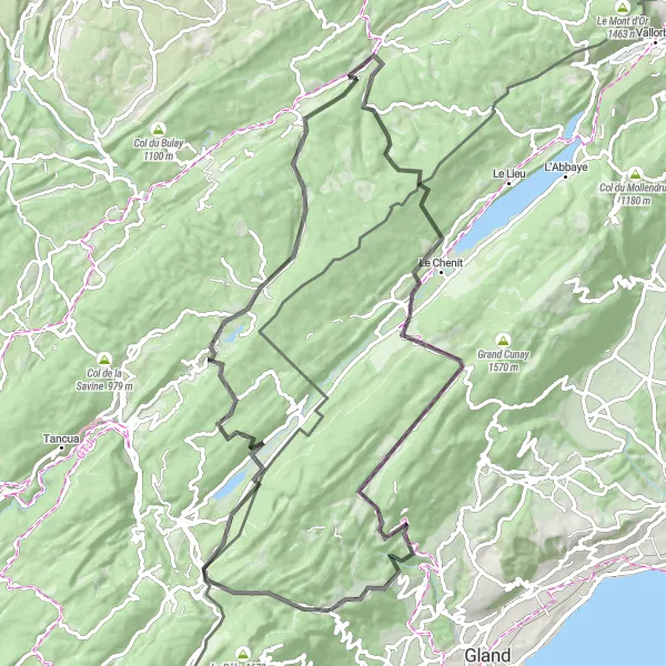
The Jura Mountain Challenge is a road cycling route that presents a true test of endurance and skill. With a total ascent of 2,475 meters, this 128-kilometer ride offers a challenging adventure for experienced cyclists. The route starts with a breathtaking view from the viewpoint and continues through highlights such as Les Rousses and Morbier, both known for their scenic beauty. Cyclists can also enjoy the majestic Col de la Savine and Pillemoine, a historic village with traditional Swiss architecture. One of the most impressive sights is La roche fendue, a rock formation that offers panoramic views of the surrounding mountains. The route ends in Chapelle-des-Bois.

Experience the thrill and tranquility of gravel cycling on this adventurous route near Saint-Cergue.
This gravel cycling route starting near Saint-Cergue provides an exhilarating ride through rugged terrain and picturesque landscapes. Covering a distance of 55 km with an ascent of 1188 m, it offers a moderate challenge for gravel cyclists. The route passes through charming mountain villages and offers breathtaking views of the surrounding nature. It is perfect for those looking for an off-road adventure that combines stunning scenery with the pleasure of gravel riding.
Scenic Gravel Journey
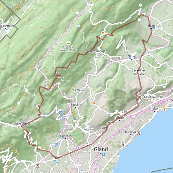
Embark on a scenic gravel journey through the idyllic Swiss countryside.
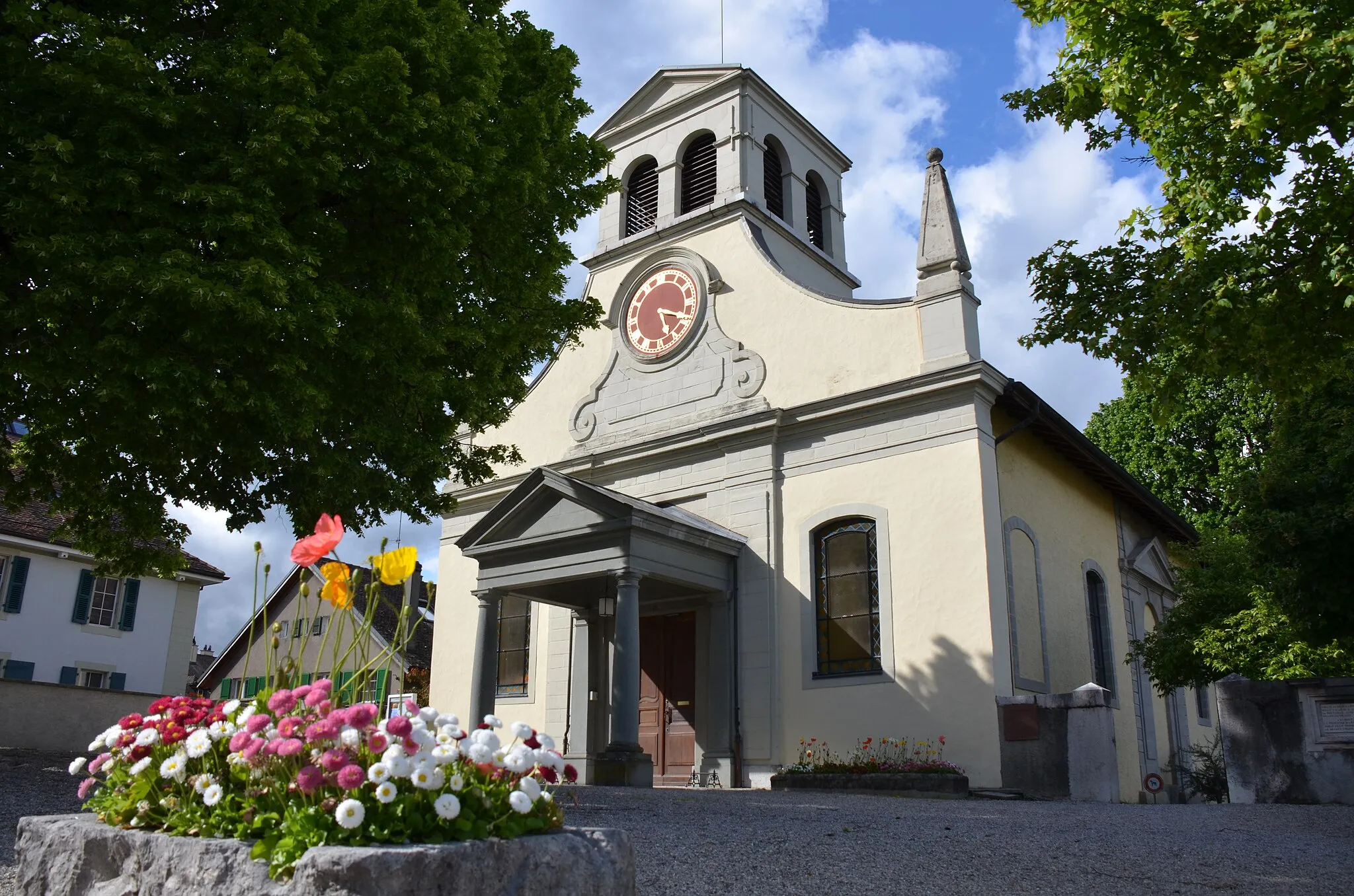
This 56-kilometer gravel adventure takes cyclists on a scenic journey through the idyllic Swiss countryside. With a total ascent of 1,401 meters, the route offers a challenging experience for gravel enthusiasts. Starting in Saint-Cergue, riders can enjoy stunning views from the viewpoint before continuing to explore highlights such as Saint-George and Essertines-sur-Rolle. One of the key attractions along the way is the beautiful Trélex, a picturesque town with traditional Swiss architecture. The route also passes by the charming Église de Luins and ends back in Saint-Cergue.

Discover stunning viewpoints and conquer the challenging Col de la Faucille on this thrilling gravel-cycling route.
Embark on a gravel-cycling adventure that takes you through breathtaking landscapes from Saint-Cergue to Col de la Faucille. This 44-kilometer route provides a thrilling challenge with a total ascent of 1,281 meters. Test your skills and soak in the majestic views along the way.
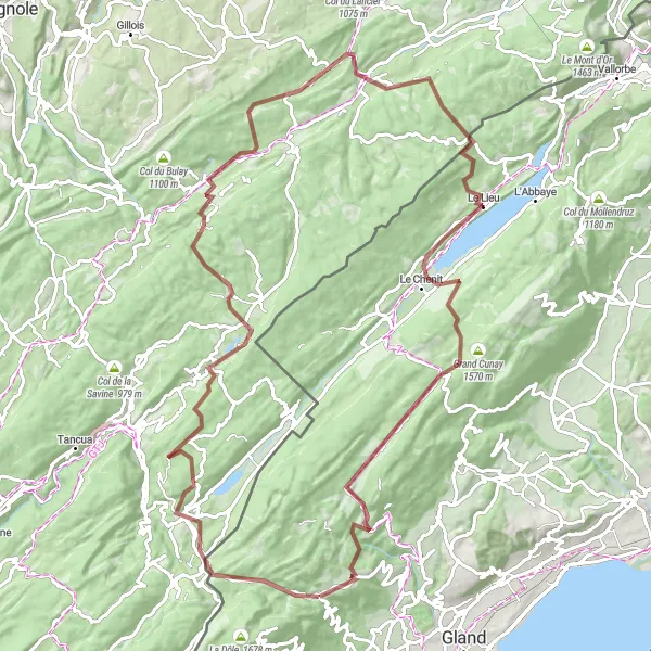
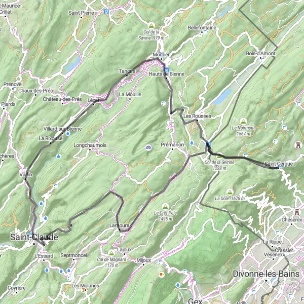
Challenge your cycling abilities on this adventurous gravel cycling loop via Col de la Givrine and Lac de Joux.
Escape into the rugged beauty of the Région lémanique on this challenging 107-kilometer gravel cycling loop. Conquer iconic climbs like Col de la Givrine and Col du Marchairuz while enjoying the breathtaking vistas offered by these legendary spots. With an ascent of 2,098 meters, this route promises an unforgettable cycling experience for avid adventurers.

A challenging road cycling route with breathtaking views of the Jura Mountains.
This route takes cyclists on a thrilling journey through the picturesque Jura Mountains. With a total ascent of 2,840 meters, it offers a challenging experience for well-trained amateurs. The 129-kilometer ride begins in the charming town of Saint-Cergue and passes through highlights such as the stunning viewpoint and the historic mountain pass, Col de la Faucille. Cyclists will also traverse quaint villages like Mijoux and Septmoncel. A must-stop attraction is Le Saut du Chien, a stunning waterfall at the 38-kilometer mark. The route continues through scenic landscapes, including the iconic Col de la Givrine.
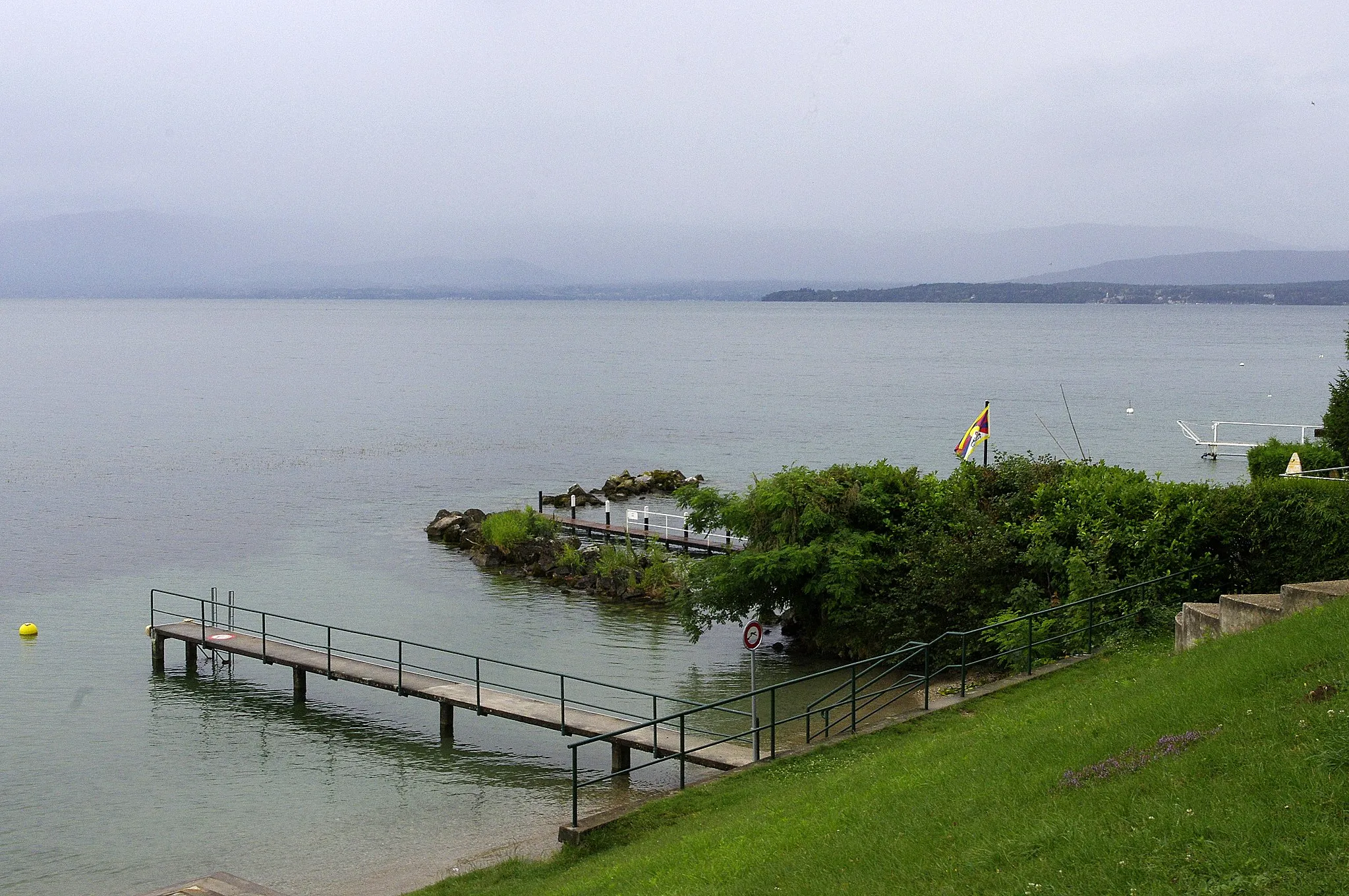
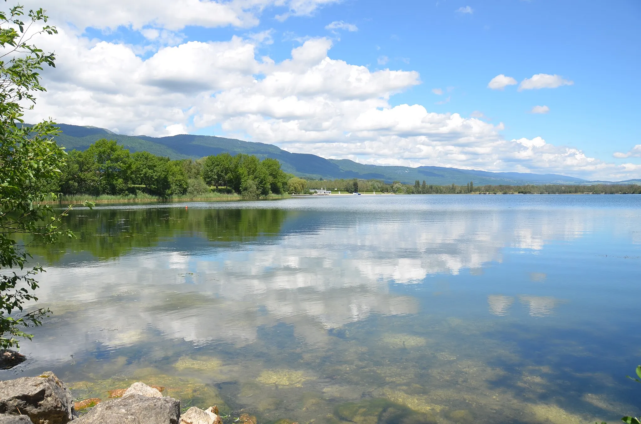
Lake Geneva Escape
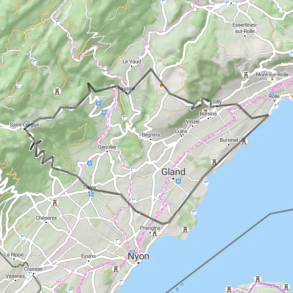
Embark on a scenic road cycling route that highlights the beauty of Lake Geneva.
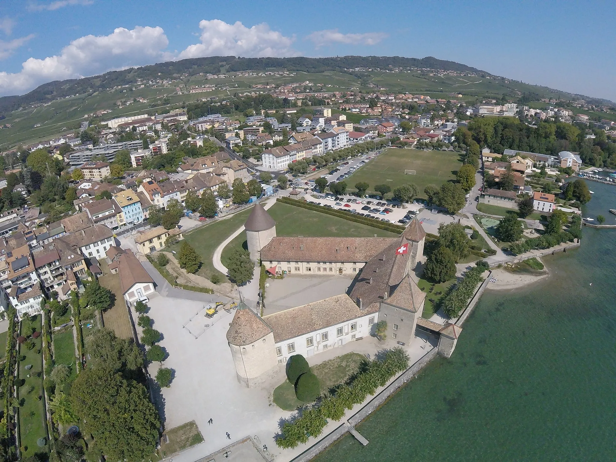
The Lake Geneva Escape route is a 44-kilometer road cycling adventure showcasing the breathtaking beauty of Lake Geneva. With a total ascent of 874 meters, this ride is perfect for cyclists seeking exhilarating views and a moderate challenge. Starting at the viewpoint, riders can marvel at panoramic vistas before journeying through highlights such as Bassins, Rolle, Prangins, and Givrins. One of the main attractions of the route is the stunning Swiss Riviera, which can be admired along the picturesque shoreline. The ride ends back at Saint-Cergue, leaving cyclists with unforgettable memories of the scenic Lake Geneva region.
Cycling routes nearby:


Nearby regions: