Scenic Cycling Routes near Lake Geneva in Région lémanique, Switzerland
Cycling routes from Prangins
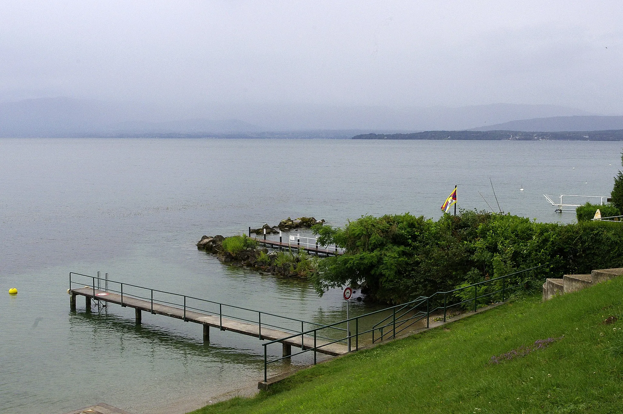
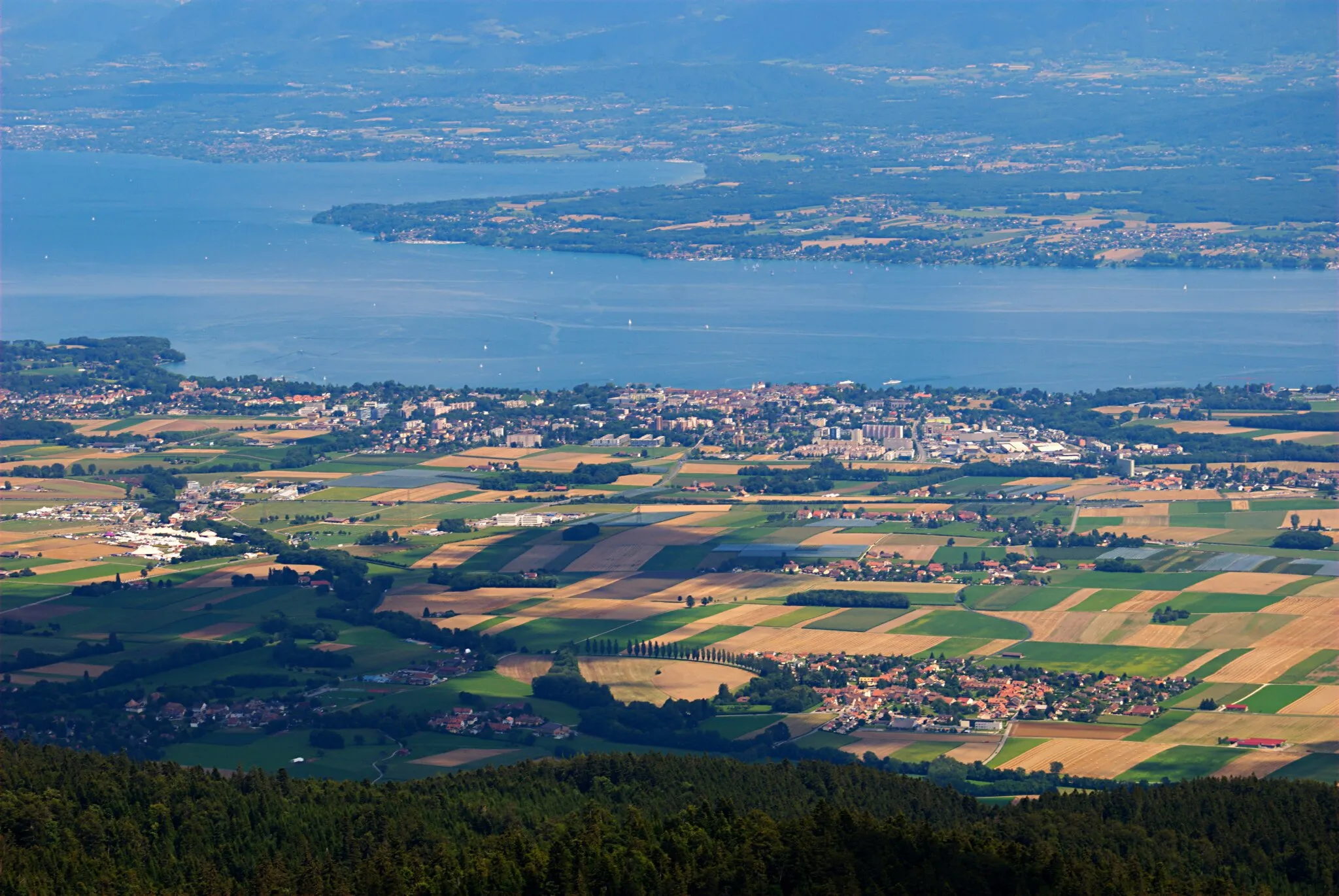
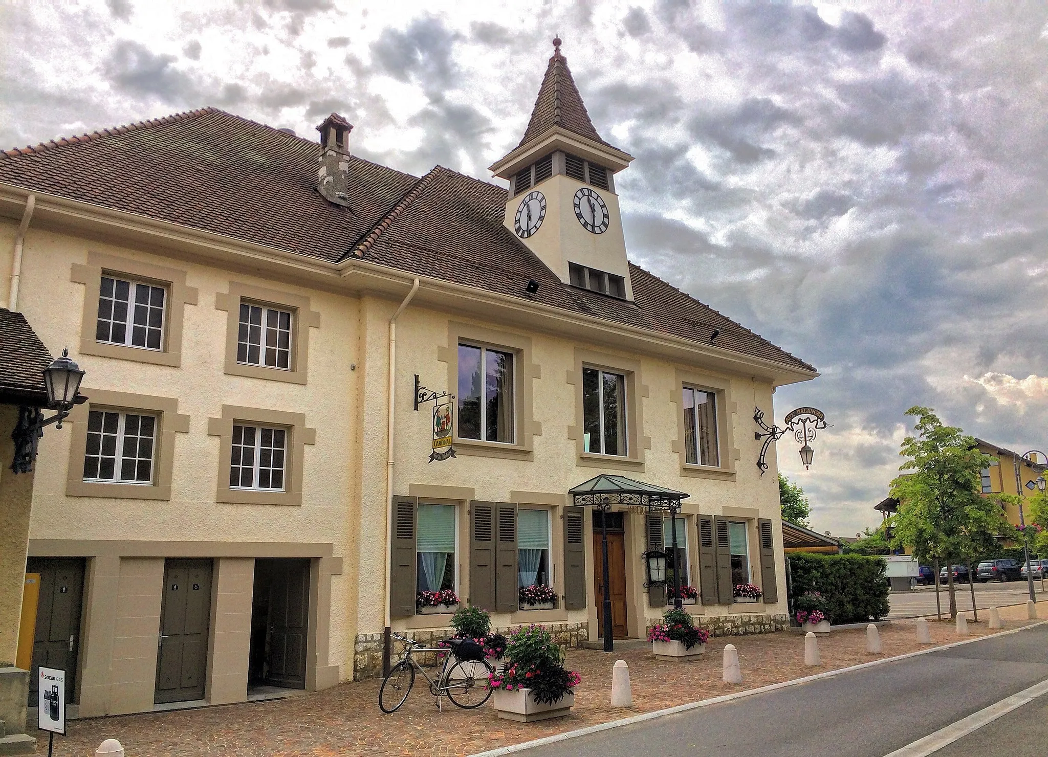
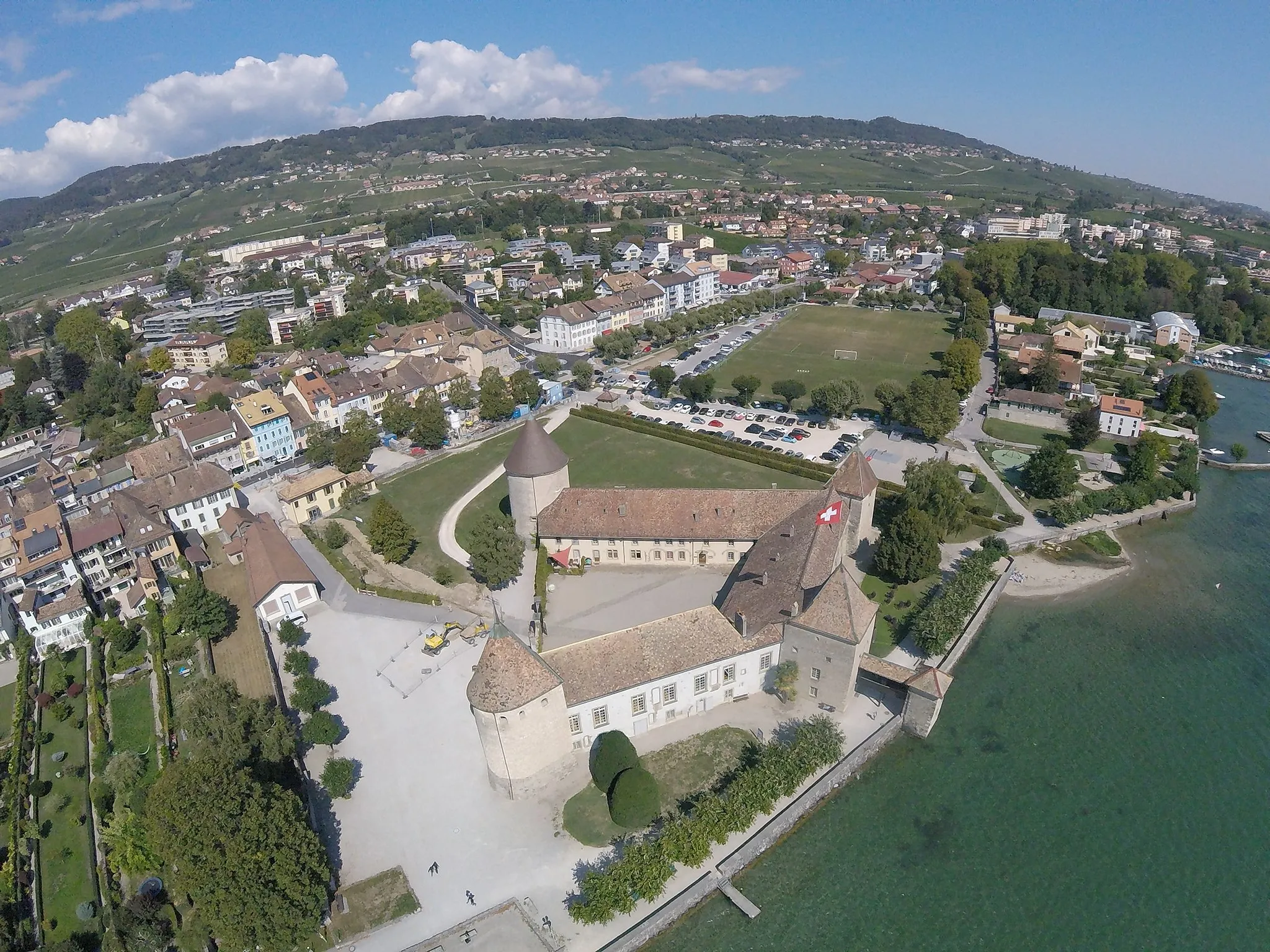
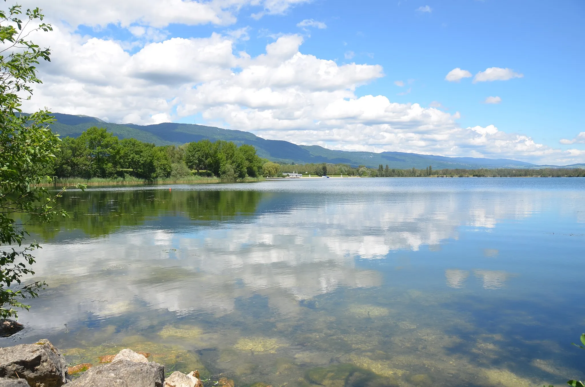
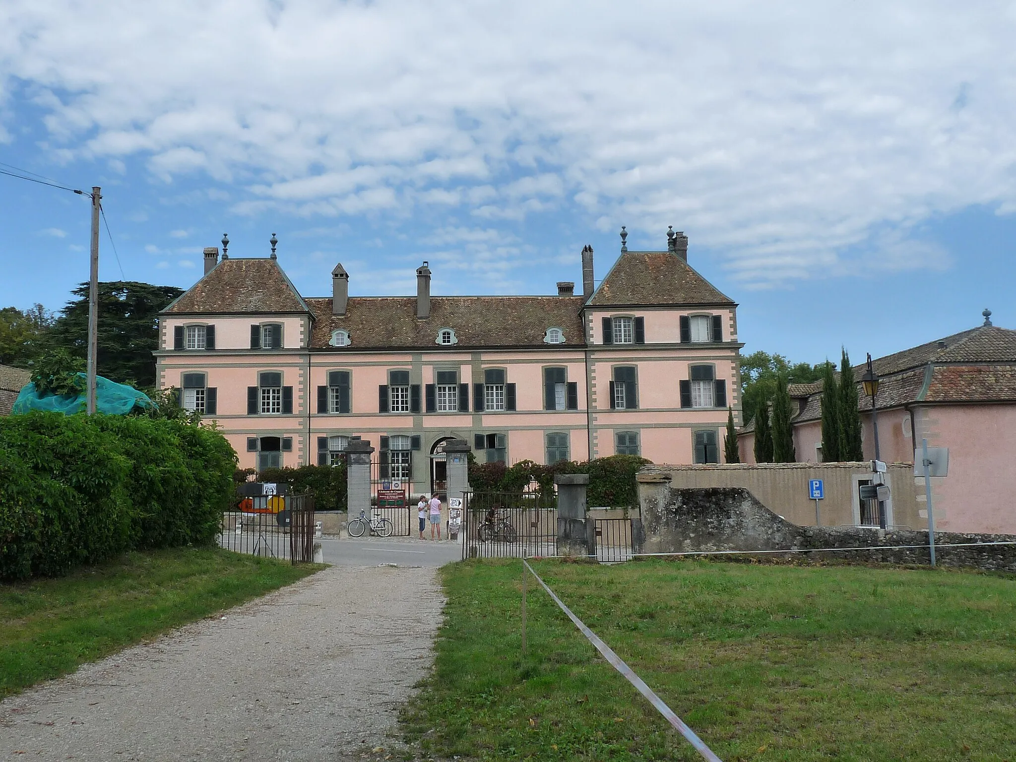
Prangins, located in Région lémanique, Switzerland, offers picturesque cycling routes near the stunning Lake Geneva. The locality is surrounded by vineyards, orchards, and rolling hills, providing cyclists with a diverse and scenic landscape to explore. One notable cycling spot in the area is the Mont-Sainte-Croix, a challenging climb frequented by professional cyclists. Additionally, Prangins is close to the La Côte Wine Route, which passes through charming villages and vineyards, offering cyclists a unique cultural and gastronomic experience. With its enchanting scenery and cycling routes, Prangins is a great choice for road cyclists looking for a memorable ride.

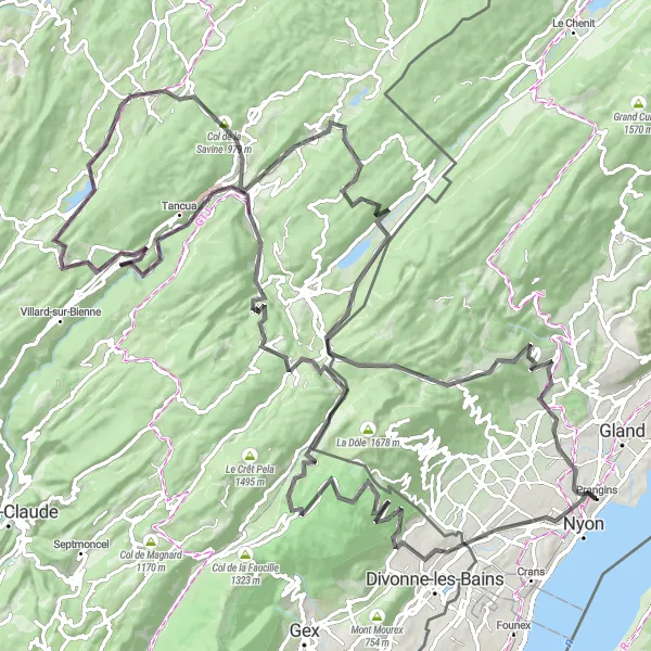
Embark on a mountainous escape from Prangins to Col du Marchairuz.
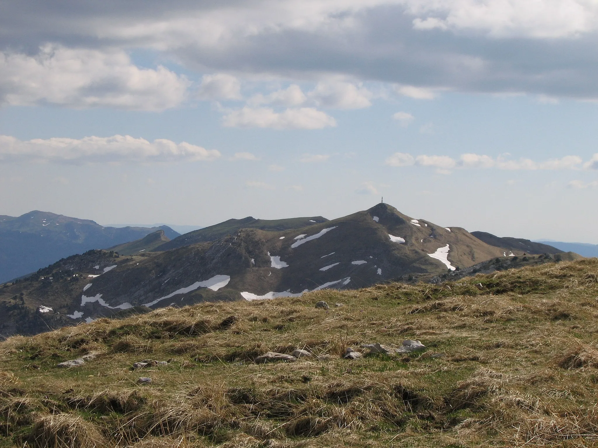
Prepare for an epic adventure on this 85km gravel route with a challenging ascent of 2031m. Immerse yourself in the tranquility of the surrounding mountains and forests. Ride through picturesque villages and feel the thrill of conquering challenging terrains. Reach the pinnacle of your journey at Col du Marchairuz and be rewarded with breathtaking views. Experience the essence of mountain cycling in the Région lémanique.
Scenic loop through La Cure
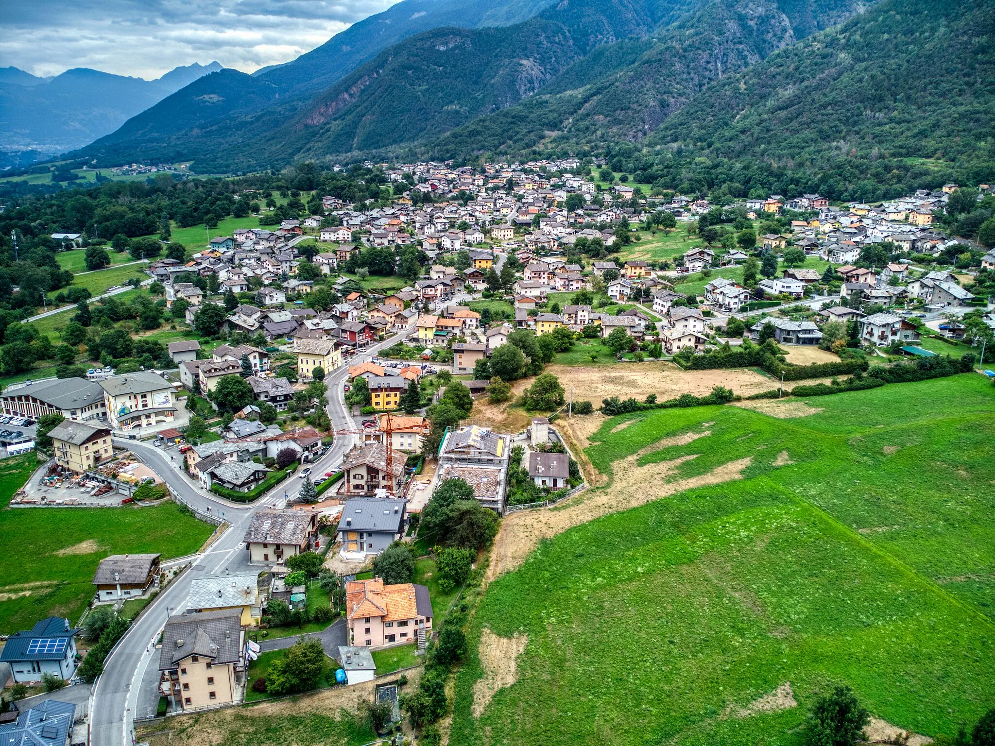
Embark on a scenic loop ride starting from Prangins and heading towards La Cure. This road cycling route offers a mix of challenging climbs and exhilarating descents, making it suitable for experienced cyclists. As you cycle through the Région lémanique, you'll pass by picturesque villages and enjoy panoramic views of the surrounding landscapes. Along the way, take a moment to soak in the peaceful atmosphere of Eysins, Lézat, and other charming stops. With an elevation gain of 2780 m and a total distance of 139 km, this loop is guaranteed to provide an unforgettable cycling experience.
Nyon to Chéserex Loop
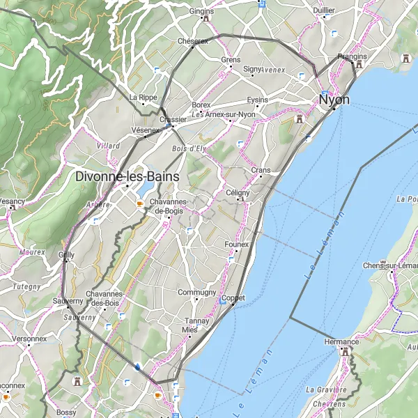
Scenic loop through Nyon and Chéserex
This route takes you on a scenic loop starting from Prangins towards Nyon and Chéserex. Along the way, you can enjoy the beautiful countryside and charming villages. The route is suitable for road biking enthusiasts, offering a moderate challenge with some climbs and descents. Overall, it provides a great opportunity to explore the stunning region of Région lémanique in Switzerland.
Prangins Gravel Adventure

Adventurous gravel ride from Prangins
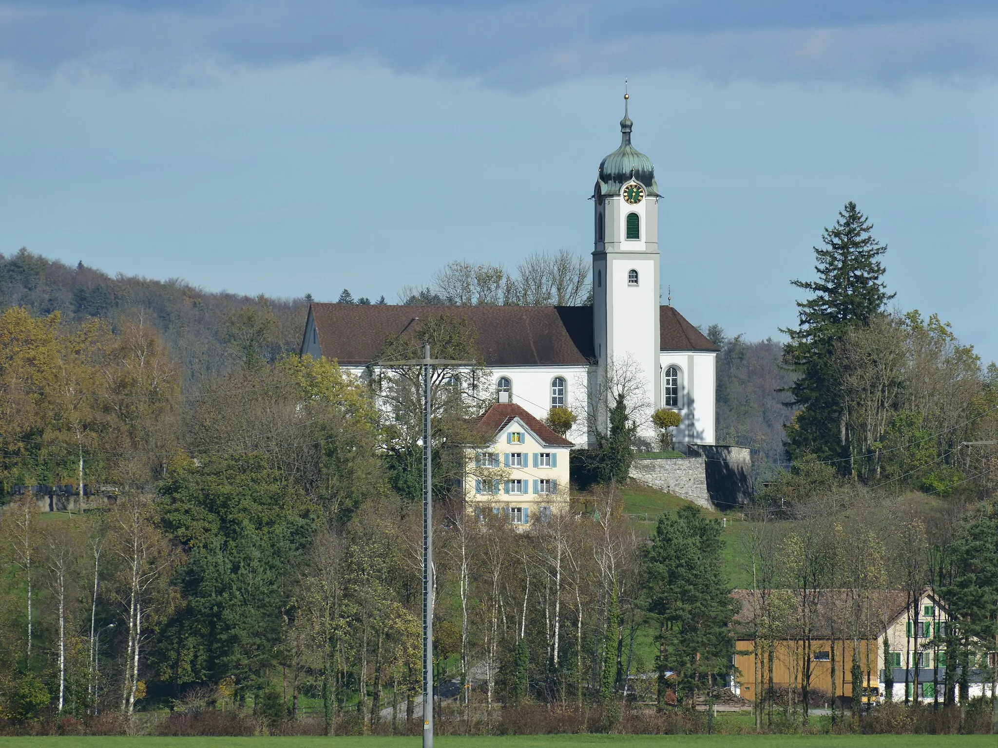
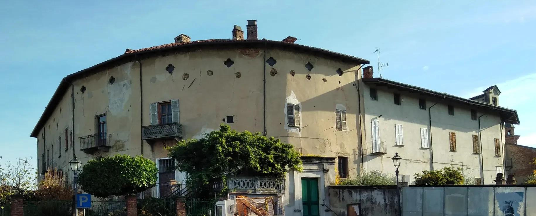
Get off the beaten path and embark on an adventurous gravel ride from Prangins. This route takes you on a mix of gravel and paved roads, offering a unique cycling experience. Suitable for gravel bike enthusiasts, the route includes scenic sections through vineyards, forests, and picturesque Swiss countryside. With a total distance of 92 km and an elevation gain of 1166 m, this ride provides a moderate challenge. Along the way, you'll pass by charming villages and have the opportunity to explore historic churches and landmarks.
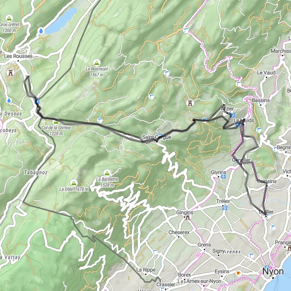
Scenic loop to Col de la Givrine
Experience the beauty of the Prangins region with this scenic loop to Col de la Givrine. Starting from Prangins, you'll pass through charming villages and enjoy panoramic views of Lake Geneva and the Jura Mountains. The route offers a moderate challenge with a total distance of 48 km and an ascent of 1063 m. Take a moment to explore Arzier, known for its idyllic alpine setting. As you reach Col de la Givrine, you'll be rewarded with stunning vistas and the satisfaction of conquering a legendary climb. This loop is the perfect choice for cyclists seeking a mix of natural beauty and a touch of cycling history.
Embark on a thrilling gravel adventure from Prangins to Chéserex.
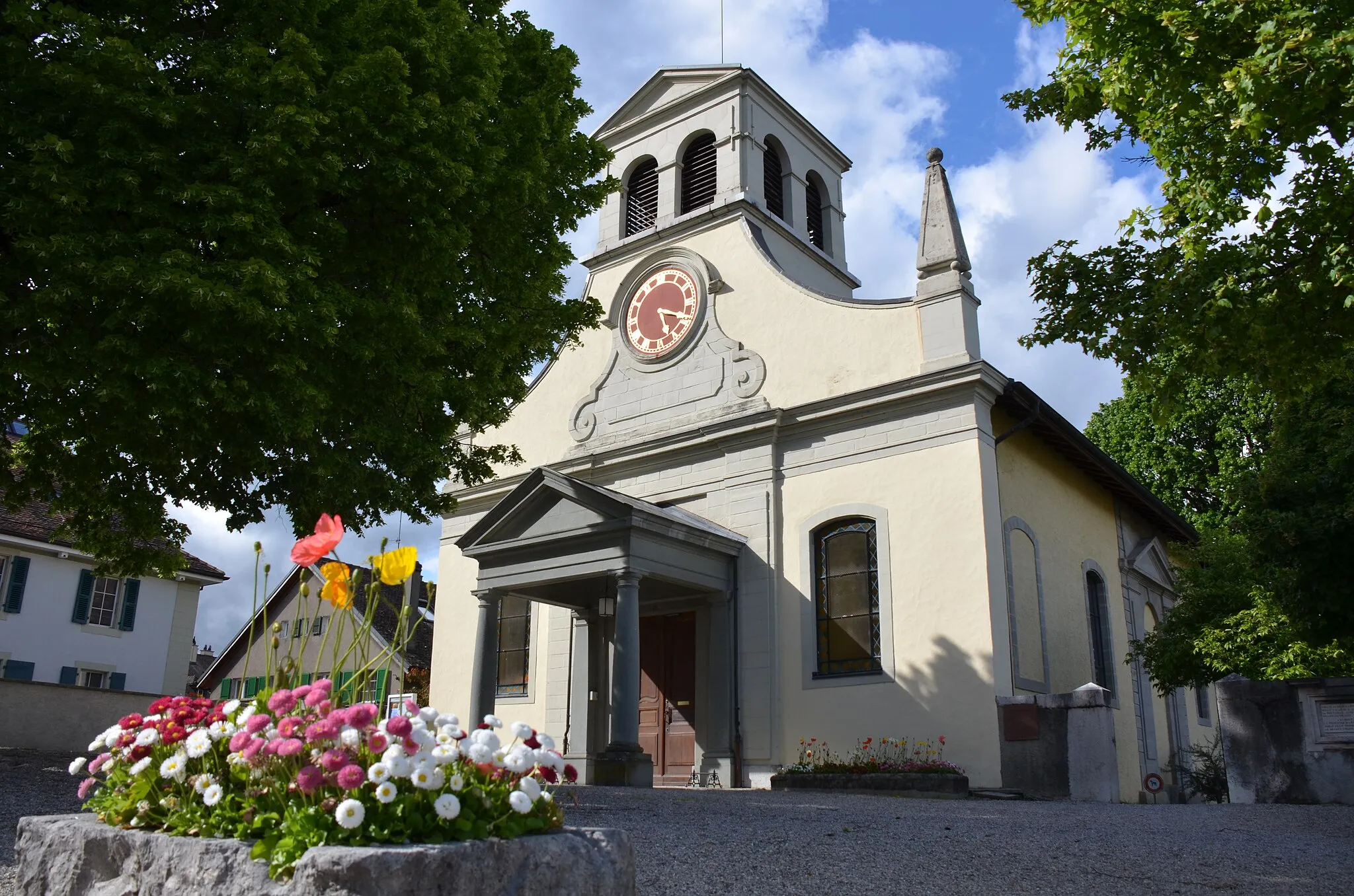
This 42km gravel route takes you through the idyllic countryside of Région lémanique. With a total ascent of 1131m, this route offers breathtaking views and scenic surroundings. The terrain is challenging yet rewarding, making it suitable for experienced cyclists. Discover the charming town of Chéserex and immerse yourself in the beauty of the region.
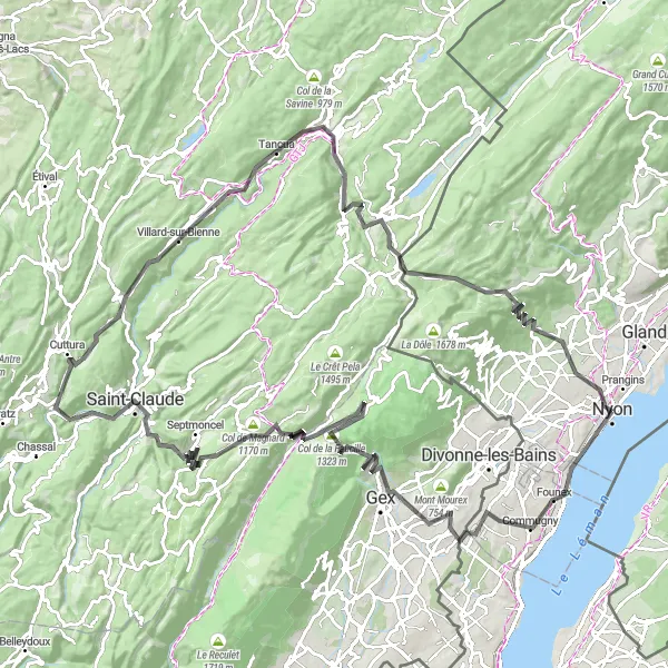
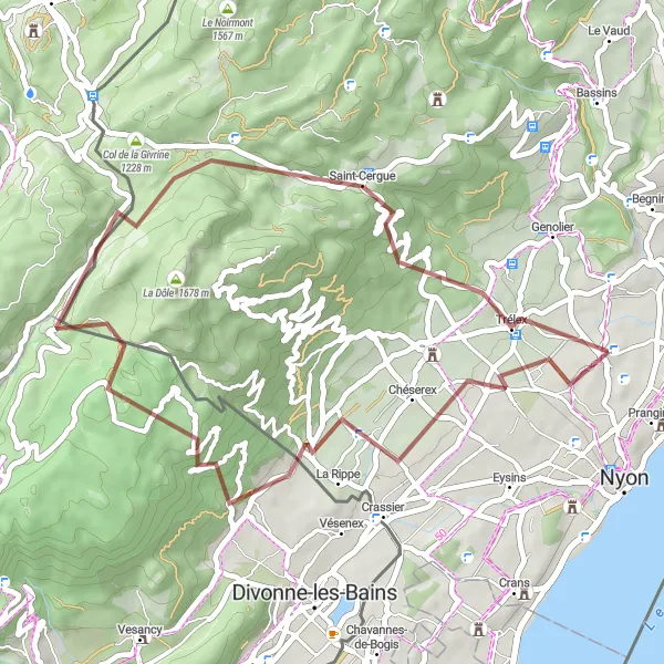
Challenging climb to Col de la Faucille
Get ready for a challenging ride from Prangins to Col de la Faucille. This route is perfect for experienced cyclists looking for a demanding uphill challenge. The ascent to Col de la Faucille offers breathtaking views of the Jura Mountains and the surrounding landscapes. Along the way, you'll pass through charming villages and can enjoy the tranquility of the region. With a total distance of 132 km and an elevation gain of 2779 m, this route will test your endurance and reward you with an amazing sense of accomplishment.
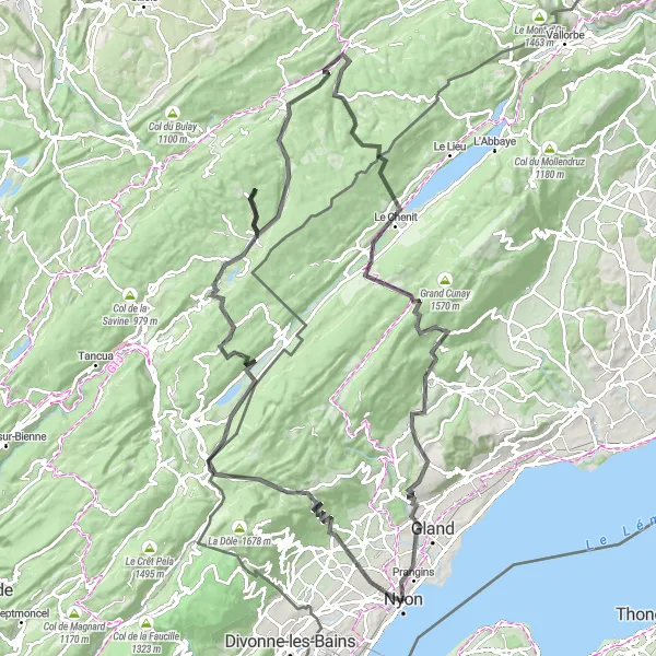
Embark on an exhilarating road cycling adventure from Prangins to Begnins.
Covering a distance of 120km with a challenging ascent of 2469m, this road cycling route is suitable for experienced riders seeking a thrilling challenge. Pass through picturesque villages and soak in the beauty of the countryside. Admire the breathtaking view from the viewpoints along the route. Revel in the sense of accomplishment as you conquer Tête du lac and Col du Marchairuz. Experience the essence of road cycling in Région lémanique.
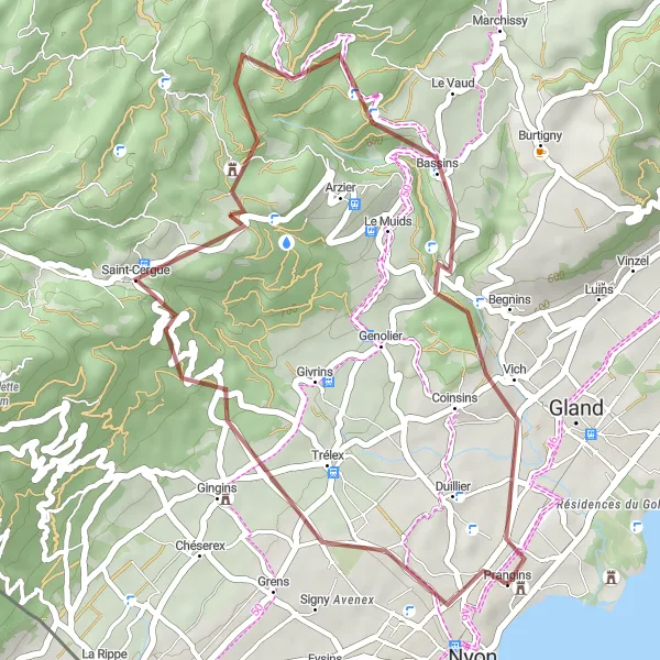
Take a glimpse of Prangins on this scenic gravel loop.
This 33km gravel loop offers a delightful adventure exploring the highlights of Prangins and the surrounding area. With a total ascent of 858m, this route is suitable for all skill levels. Experience the charm of Saint-Cergue and enjoy the panoramic views from the viewpoint. Pass through picturesque villages and discover the natural beauty of the region. Conclude your journey with a visit to Prangins, where history and nature blend seamlessly.
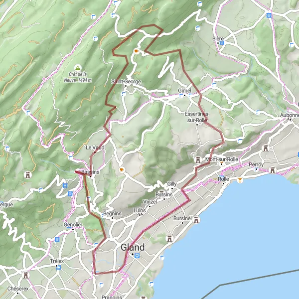
Embark on an off-road adventure from Coinsins to Gland.
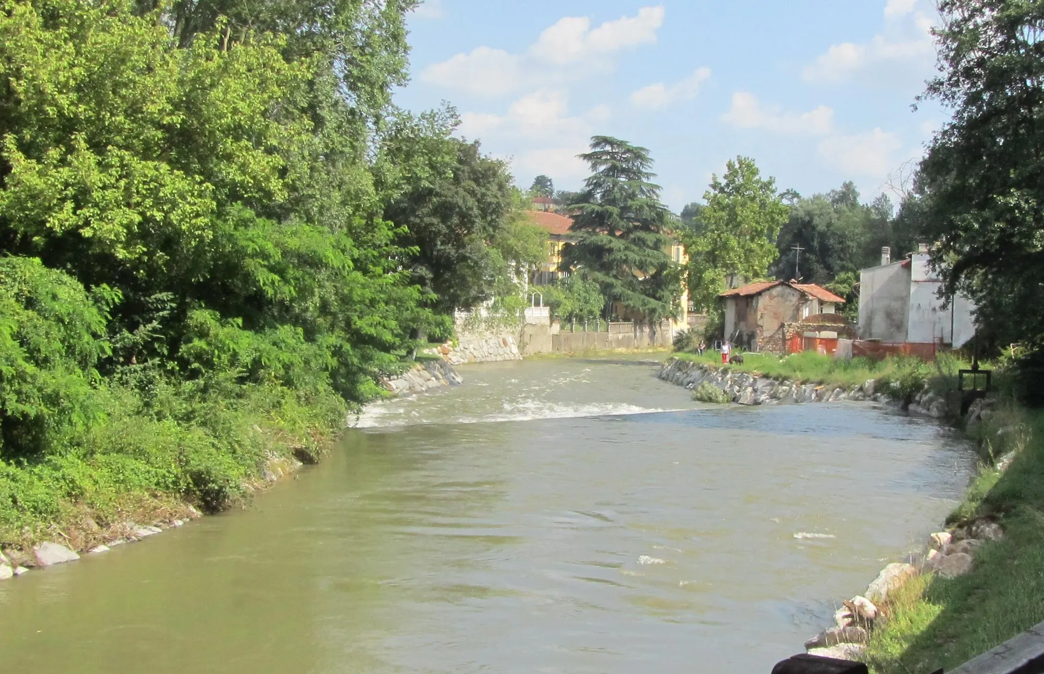
Covering a distance of 50km with an ascent of 1119m, this gravel route showcases the natural wonders of the region. Traverse through diverse landscapes and ride through charming villages along the way. Challenge your off-road skills and appreciate the beauty of the surroundings. Explore the hidden gem of Gland, known for its beautiful waterfront and vibrant atmosphere.
Cycling routes nearby:


Nearby regions: