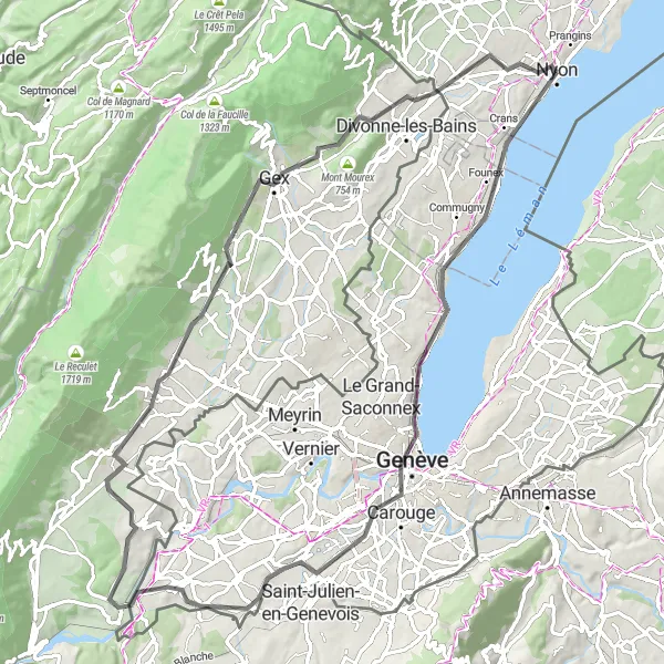
Cycle along the picturesque Lake Geneva and conquer the famous La Dôle climb in Nyon.
Cycling routes from Nyon
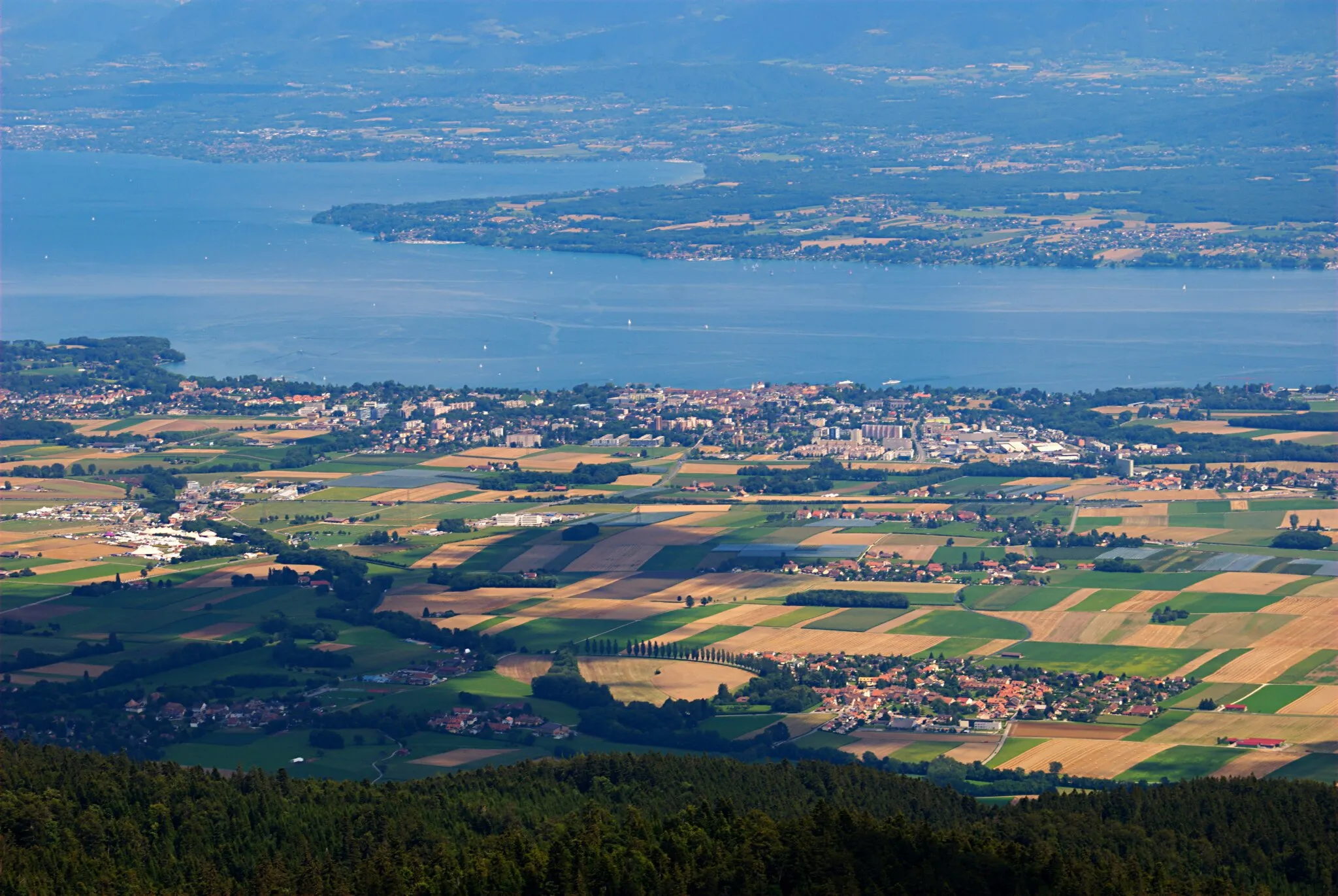
Nyon, located in the Région lémanique region of Switzerland, offers a wonderful cycling experience for both road and gravel cyclists. The locality is situated on the shores of Lake Geneva, providing stunning views throughout the rides. Cyclists can explore the vineyards of La Côte or challenge themselves on the famous climb of La Dôle nearby. Nyon's beautiful scenery and cycling-friendly infrastructure make it a popular choice for cyclists looking to enjoy the beauty of the Région lémanique.
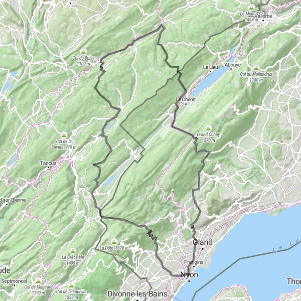
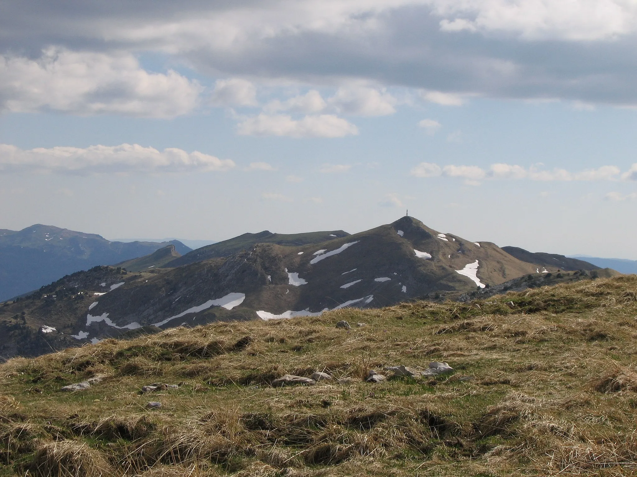
An epic gravel route to Col du Marchairuz
Embark on an epic gravel ride from Nyon to Col du Marchairuz, reaching an elevation of 1,594 meters. Covering a distance of 108 kilometers with a challenging ascent of 2,584 meters, this route is recommended for experienced cyclists. Explore the beautiful landscapes of Trélex, Les Rousses, Bellefontaine, and Châtelblanc along the way. The highlight of this ride is Col du Marchairuz, known for its stunning views and notorious reputation among cyclists.
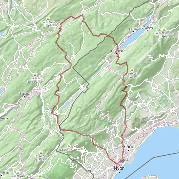
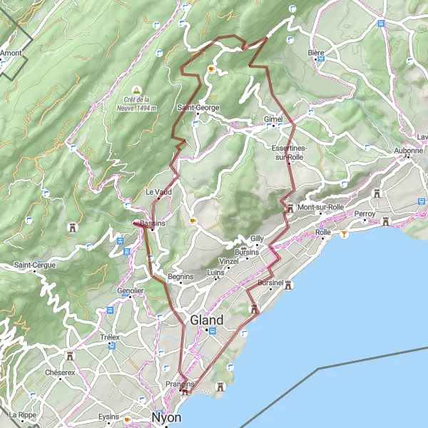
Nyon to Rolle cycling route
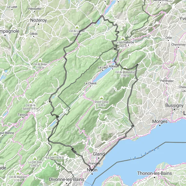
Enjoy the scenic beauty from Nyon to Rolle
This cycling route takes you through the beautiful region of Nyon in Switzerland. With a total distance of 150 kilometers, the route provides stunning views of the Lémanique region. You will experience various terrains, including roads and gravel paths. The ascent of 2747 meters adds to the challenge and excitement of the ride. Overall, this route offers a diverse and captivating cycling experience.

A leisurely gravel ride to Foto-Spot Château de Coppet
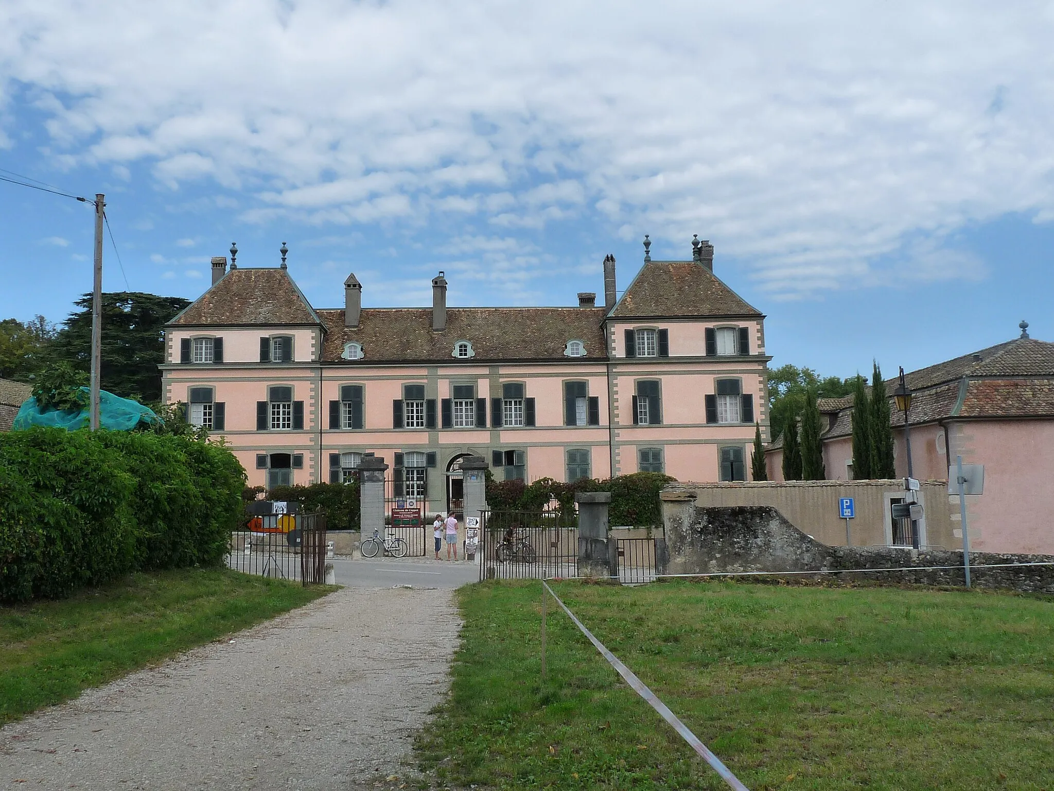
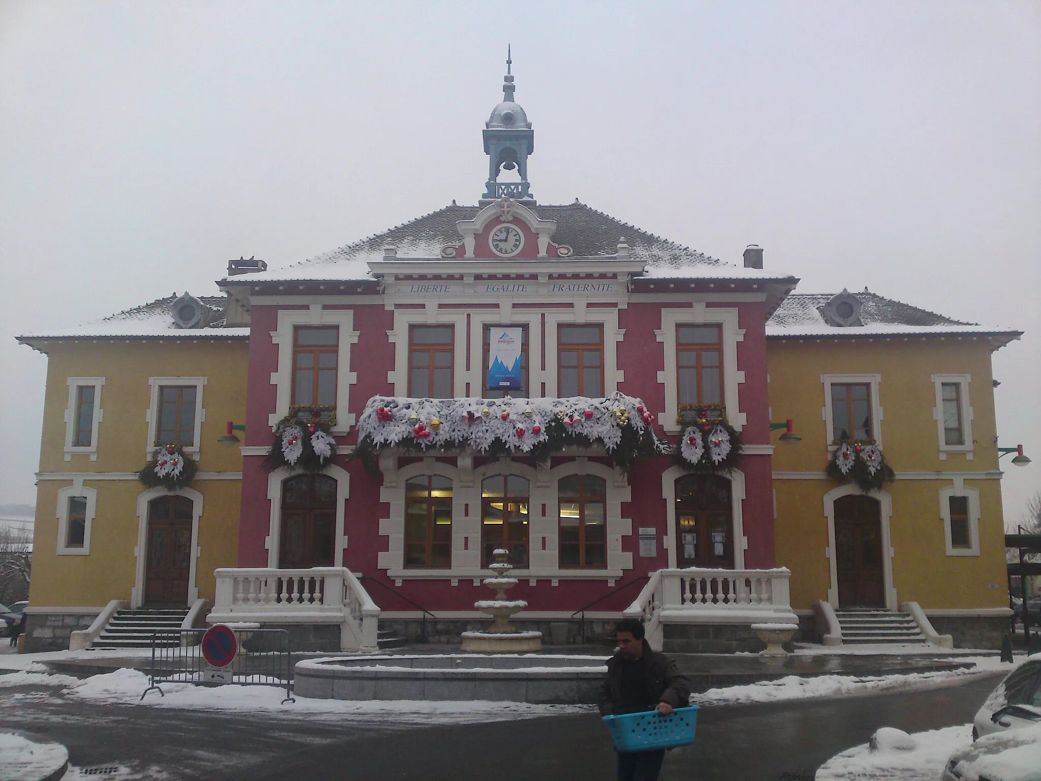
Experience a leisurely gravel ride from Nyon to Foto-Spot Château de Coppet, covering a distance of 73 kilometers with a total ascent of 466 meters. This route is suitable for all skill levels and offers a relaxed biking experience. Explore the charming village of Coppet, known for its historical significance and the picturesque Château de Coppet. The highlight of this ride is the photo spot at Château de Coppet, offering stunning views of the castle and its surroundings.
A challenging road route with a scenic climb up to Col du Marchairuz
This 121 km road cycling route starts in Eysins and takes you through stunning landscapes towards Begnins. The highlight of this route is the challenging climb up to Col du Marchairuz, offering breathtaking views of the Jura Mountains. With a total ascent of 2481 meters, this route is suitable for well-trained amateur cyclists. The epicness of the route is rated 5, as it includes a legendary climb and offers a memorable cycling experience.

A picturesque road route from Genolier to Prangins
This 61 km road cycling route takes you from Genolier to Prangins, offering scenic beauty and picturesque landscapes. With a total ascent of 1267 meters, this route is suitable for well-trained amateur cyclists. The route passes through charming villages and includes a challenging climb up to Saint-George. The epicness of the route is rated 3, as it offers a rewarding cycling experience with cultural and natural highlights along the way.
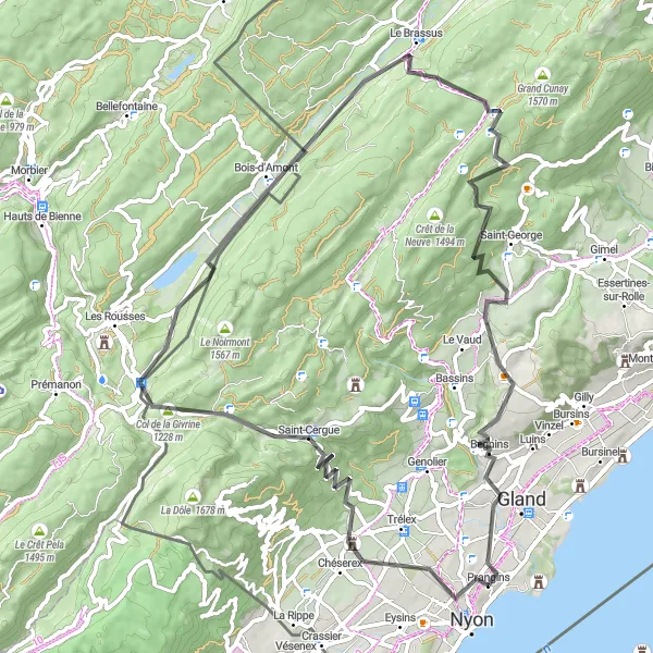
A challenging road cycling route to Bois-d'Amont
Take on the challenge of this road cycling route from Nyon to Bois-d'Amont, covering a distance of 73 kilometers with a total ascent of 1,460 meters. This route is recommended for well-trained amateur cyclists looking for a challenging ride. Enjoy the scenic beauty of Chéserex and Vich along the way. The highlight of this route is the viewpoint, offering a stunning panorama of the surrounding landscapes.
Nyon to Prangins Gravel Loop

A scenic gravel route connecting Nyon and Prangins
This 41 km gravel cycling route takes you from Nyon to Prangins, offering picturesque landscapes and off-road adventure. With an ascent of 1130 meters, this route is suitable for well-trained amateur cyclists. The route passes through beautiful countryside and includes a challenging climb up to La Vy des Gros. The epicness of the route is rated 3, as it offers a unique gravel cycling experience in the region.
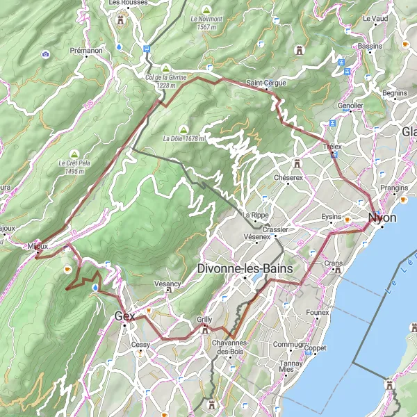
A gravel cycling route from Nyon to Col de la Faucille
This gravel ride takes you from Nyon to Col de la Faucille, offering stunning views along the way. With a total ascent of 1,569 meters over a distance of 64 kilometers, this route promises a challenging yet rewarding experience. The highlight of this ride is Col de la Faucille, a mountain pass known for its scenic beauty and impressive elevation. The route also passes through Grilly, Gex, and Saint-Cergue, showcasing the diverse landscapes of the region.
Experience the beauty of Bassins on this gravel ride
Embark on this gravel ride from Nyon and explore the scenic beauty of Bassins. With a total ascent of 1,190 meters and a distance of 53 kilometers, this route offers a moderate challenge for cyclists. Discover the picturesque village of Bassins nestled in the Région lémanique, surrounded by lush green meadows and rolling hills. The route also passes through Saint-George, Tartegnin, and Château de Prangins, adding cultural and historical highlights to the ride.
A scenic road route connecting Coppet and Nyon
This 88 km road cycling route takes you from Coppet to Nyon, offering picturesque landscapes and charming villages along the way. With a total ascent of 705 meters, this route is suitable for well-trained amateur cyclists. The route passes through the beautiful countryside and includes a stop at the iconic Château de Coppet. The epicness of the route is rated 3, as it offers a pleasant cycling experience with cultural highlights.
Cycling routes nearby:

Nearby regions: