Elevations and Watersheds
A road cycling route starting from Plancher-Bas
Experience the sense of accomplishment as you cross over the watershed between the Ognon and Doubs rivers.
Map
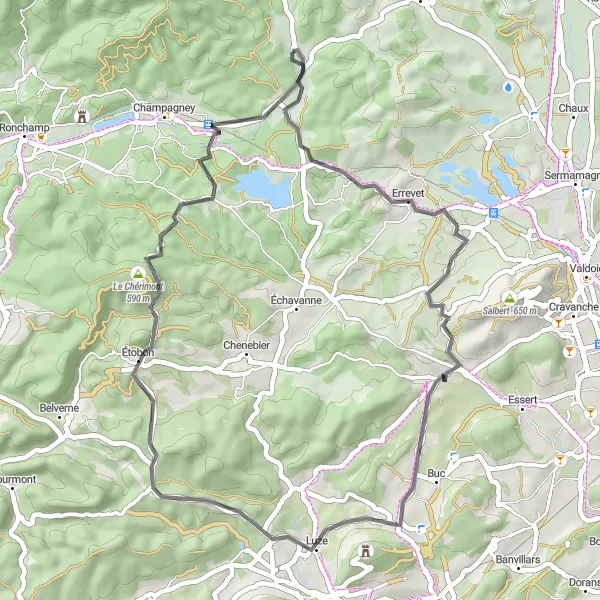
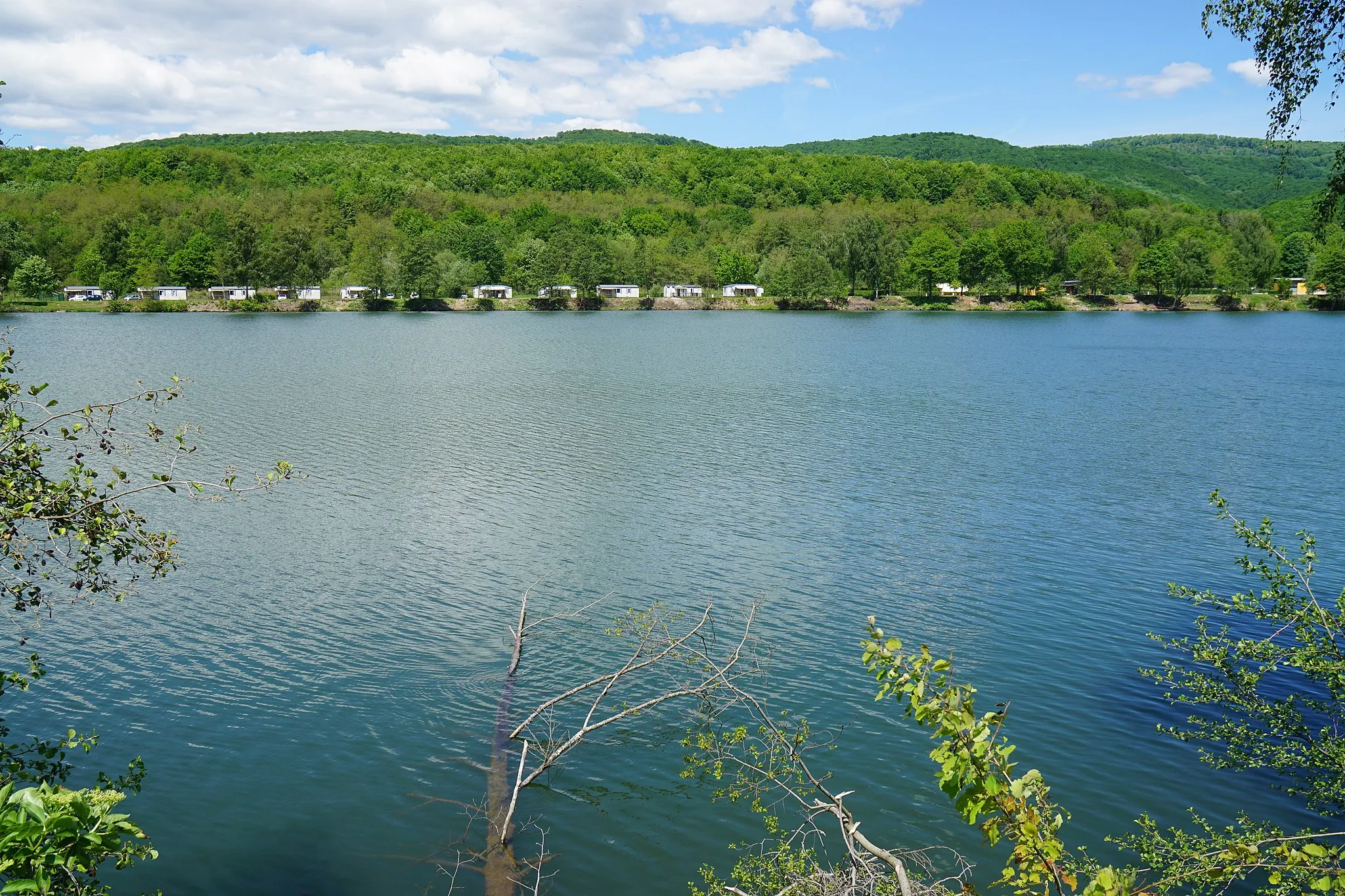
This road cycling route near Plancher-Bas is perfect for cyclists seeking a shorter yet demanding adventure. With its moderate ascents and rewarding descents, the route offers a great opportunity to admire the stunning natural landscapes of Franche-Comté. Cyclists will pedal through picturesque villages like Errevet and Étobon, and reach the line of Demarcation between the Ognon and Doubs rivers. This route provides a sense of accomplishment and allows riders to appreciate the region's geography and diverse ecosystems.
road
45 km
637 m
Tough
Route profile
Highlights on the route
0 km
0 km
Start: Plancher-Bas Village centerPlancher-Bas: Cycling Diversity in Tranquil Plancher-Bas
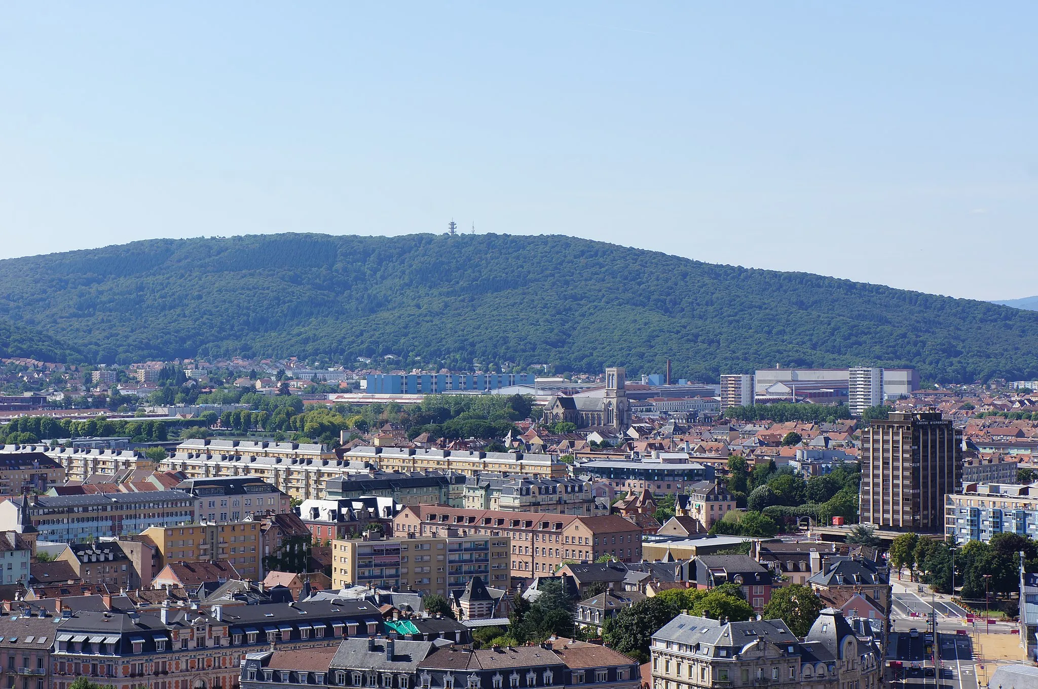
Plancher-Bas, situated in Franche-Comté, France, offers diverse cycling opportunities for both road and gravel cyclists. With its varied terrain and scenic routes, cyclists can enjoy a mix of challenging climbs and relaxing rides through the countryside. Nearby, there are iconic cycling spots such as Belfort and Ballon d'Alsace, famous for their perfect roads and stunning scenery. Plancher-Bas itself is a small town with its own charm, providing tourists with a glimpse into local life. Whether you're seeking a challenging ride or a leisurely pedal, Plancher-Bas is an ideal destination for cyclists and visitors alike.0 km
0 km
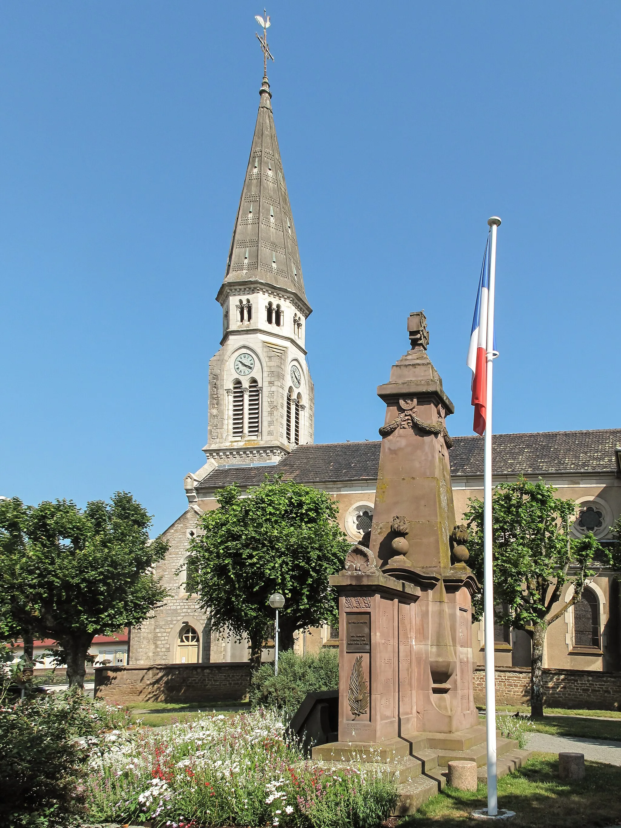
Plancher-BasVillageBegin your journey in the beautiful town of Plancher-Bas, surrounded by scenic landscapes.
7 km
7 km
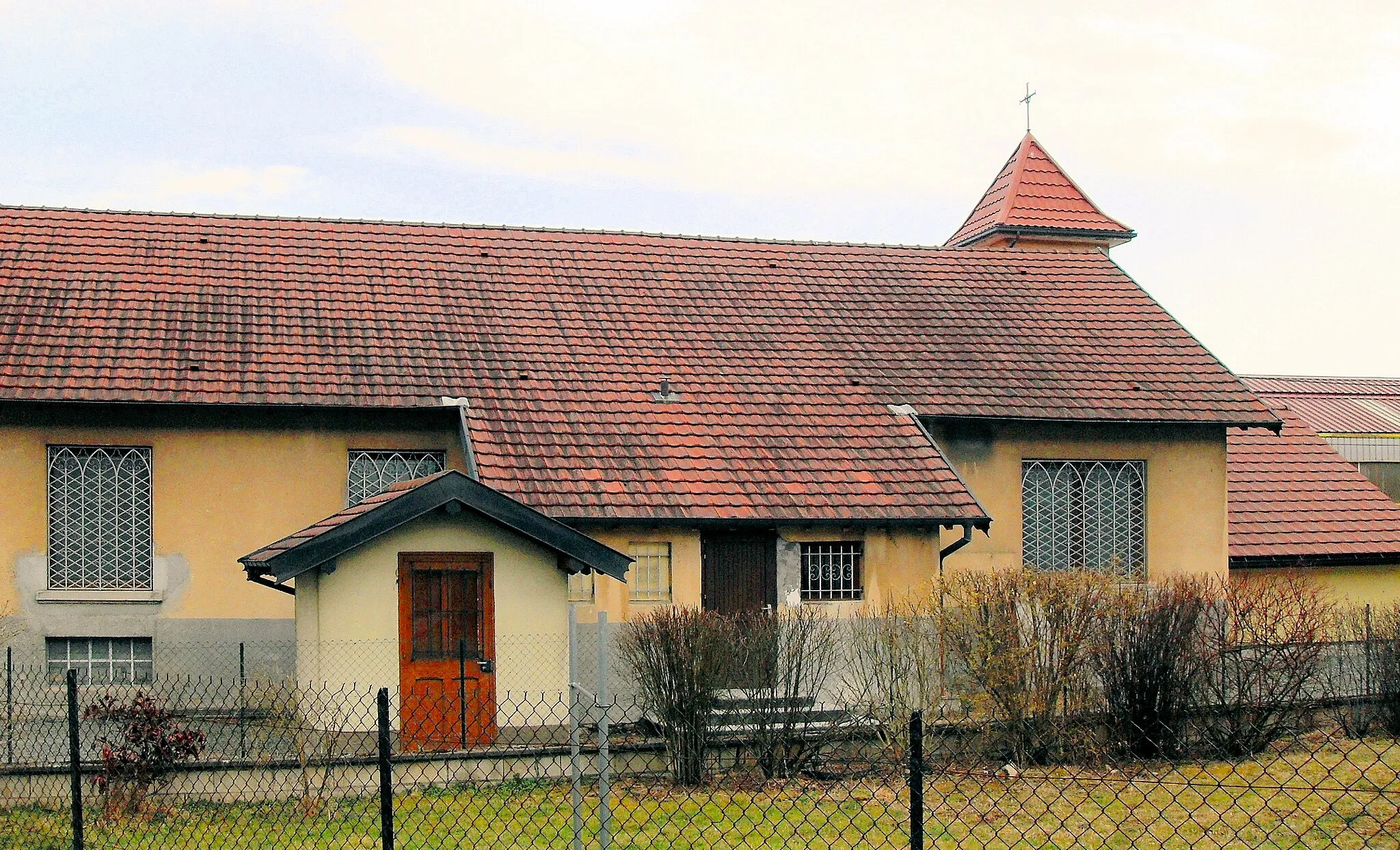
ErrevetVillagePass through the charming village of Errevet on your cycling adventure.
19 km
19 km
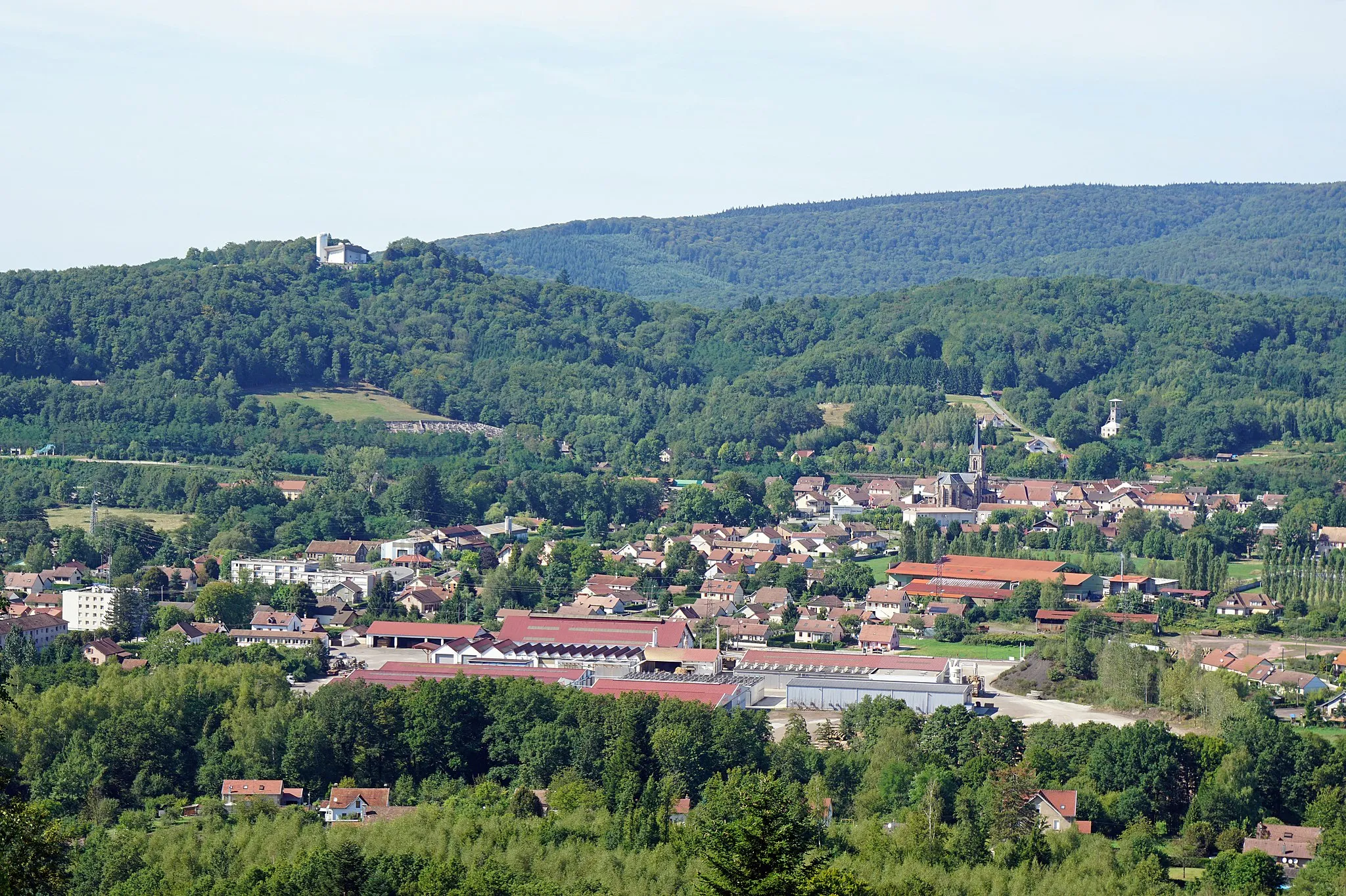
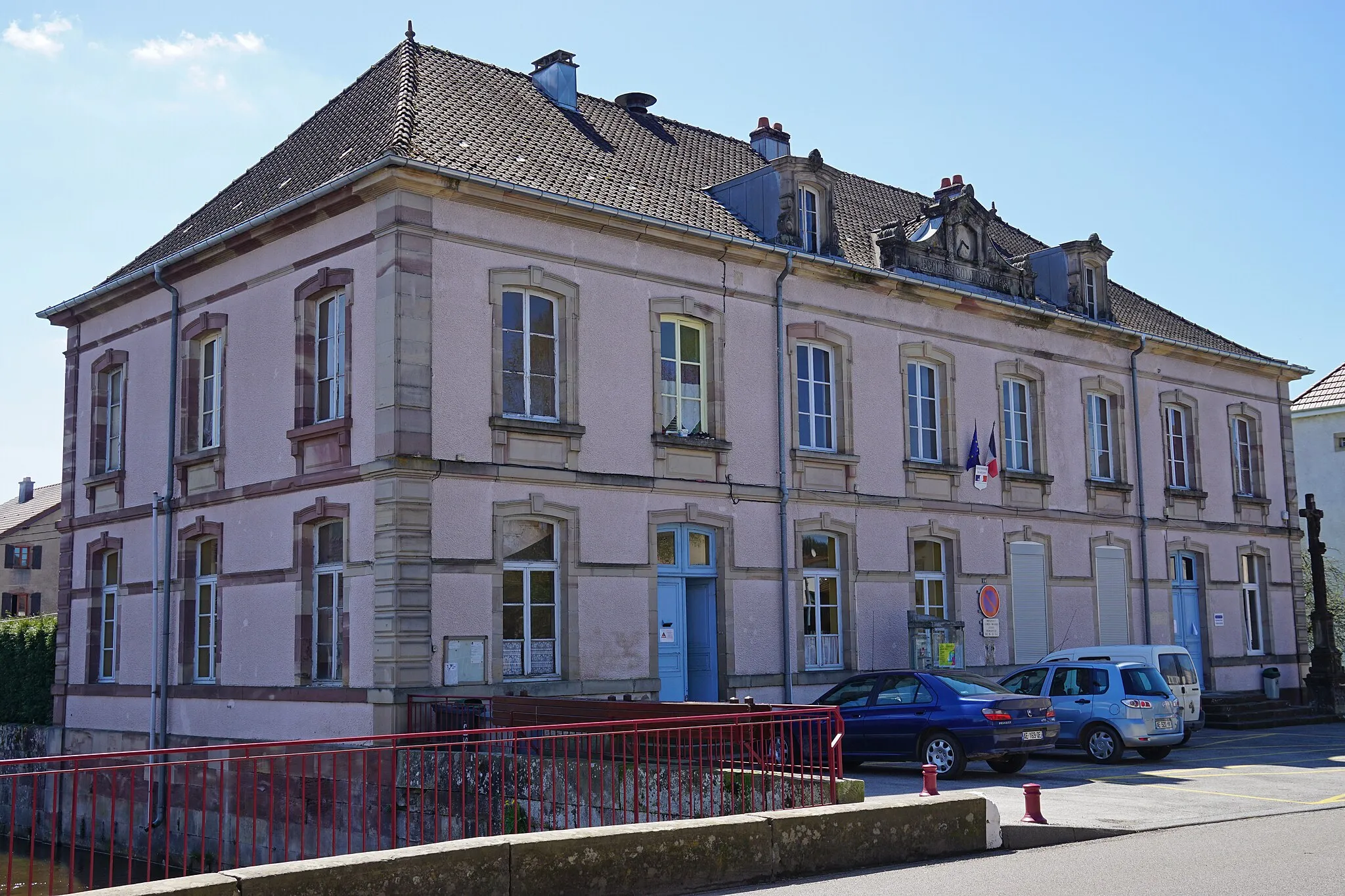
MandrevillarsVillageDiscover the idyllic village of Mandrevillars on your route.
32 km
32 km
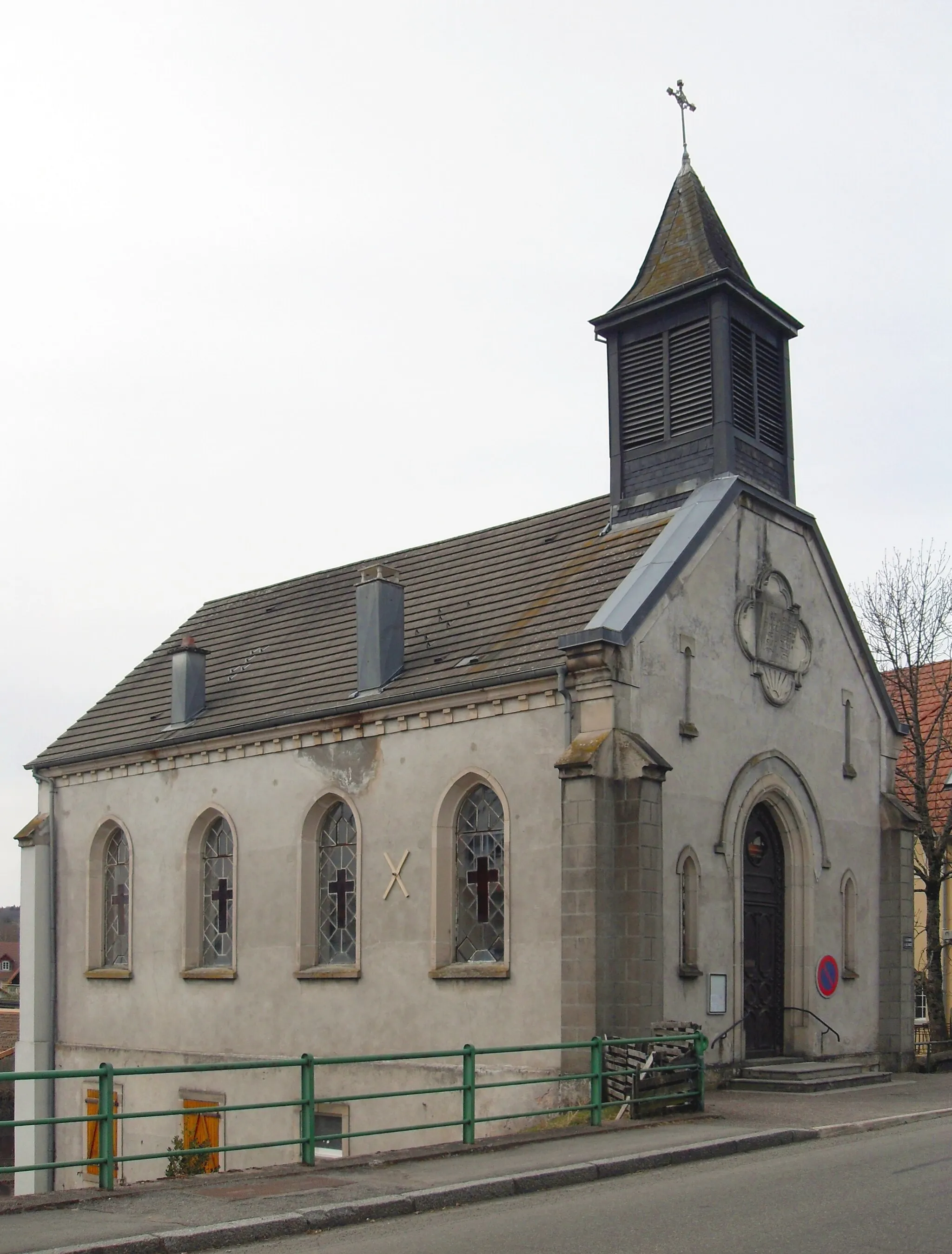
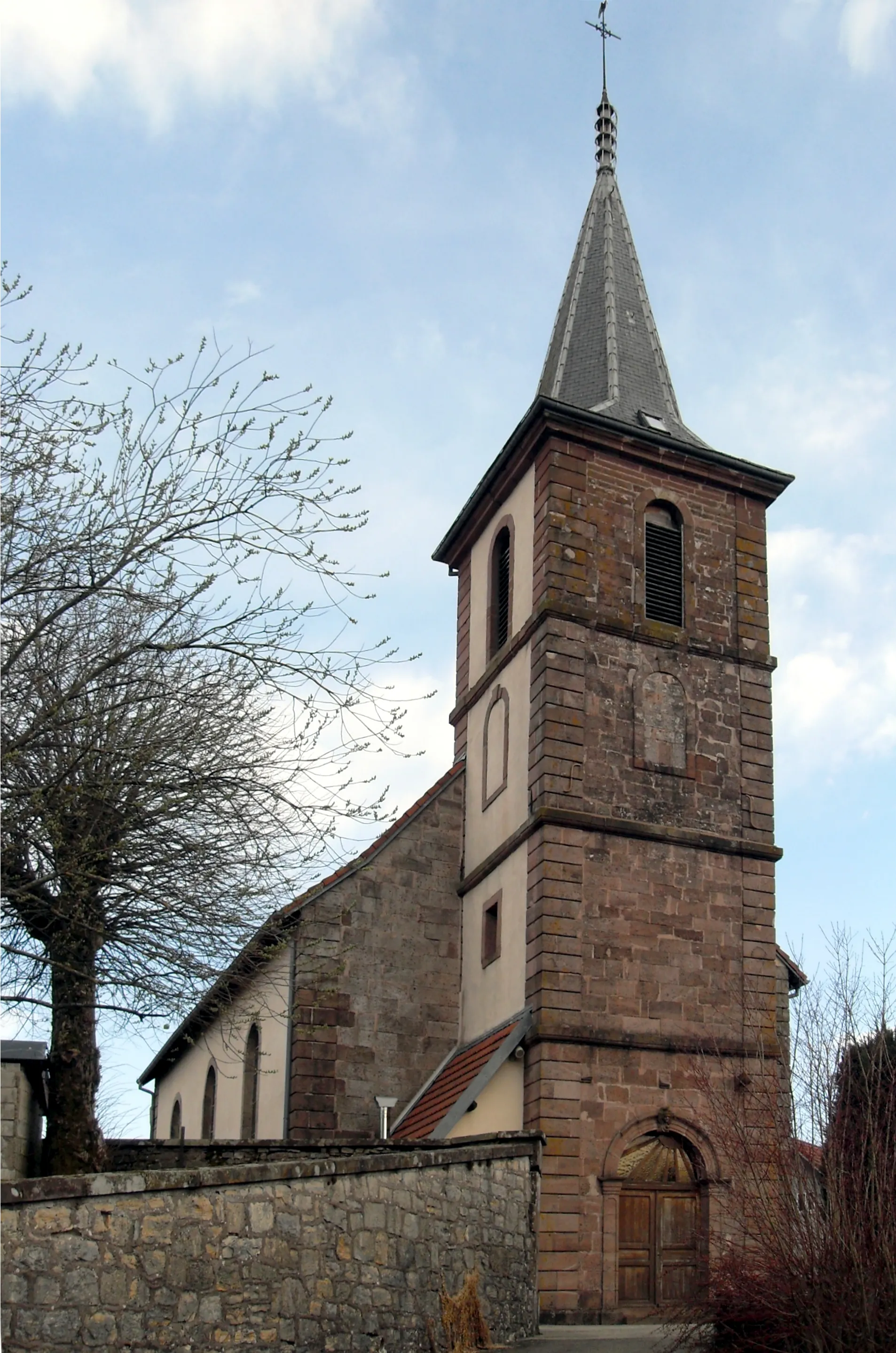
ÉtobonVillageReach Étobon and admire its historic architecture and charming atmosphere.
38 km
38 km
ligne de partage des eaux Ognon/Doubs468 mMountain PassCross over the watershed between the Ognon and Doubs rivers, where two watersheds converge.
45 km
45 km
Finish: Plancher-Bas Village centerPlancher-Bas: Cycling Diversity in Tranquil Plancher-Bas
Cycling routes from Plancher-Bas:
Elevations and Watersheds Gravel Pathways: Cycling Adventure in Franche-Comté Le Haut Biez Loop La Chevestraye and the Mines Gravel Adventures: From Plancher-Bas to Saint-Amarin Mountain Adventures and Scenic Beauty Plancher-Bas and the Surrounding Villages Discover the Beauty of Franche-Comté: Scenic Gravel Ride Road Cycling Adventure: Explore the Magnificent Franche-Comté Climbing Challenge: Col des Chevrères
Cycling routes nearby: