Chateau Trail
A road cycling route starting from Breteuil
Discover Normandy's rich history
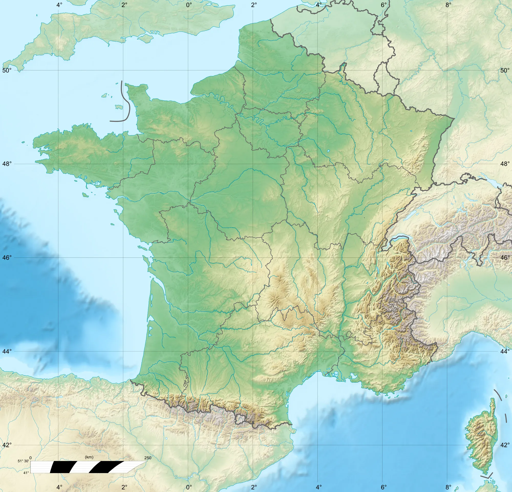
Map

Embark on a captivating journey through history on the Chateau Trail. Covering a distance of 66 km, this route offers moderate difficulty and showcases some of Haute-Normandie's most beautiful landscapes. Explore Beaubray, Faverolles-la-Campagne, Caugé, Gaudreville-la-Rivière, Les Essarts, and the Ruins of the Chateau as you pedal through picturesque countryside.
road
66 km
322 m
Tough
Route profile
Highlights on the route
0 km
0 km
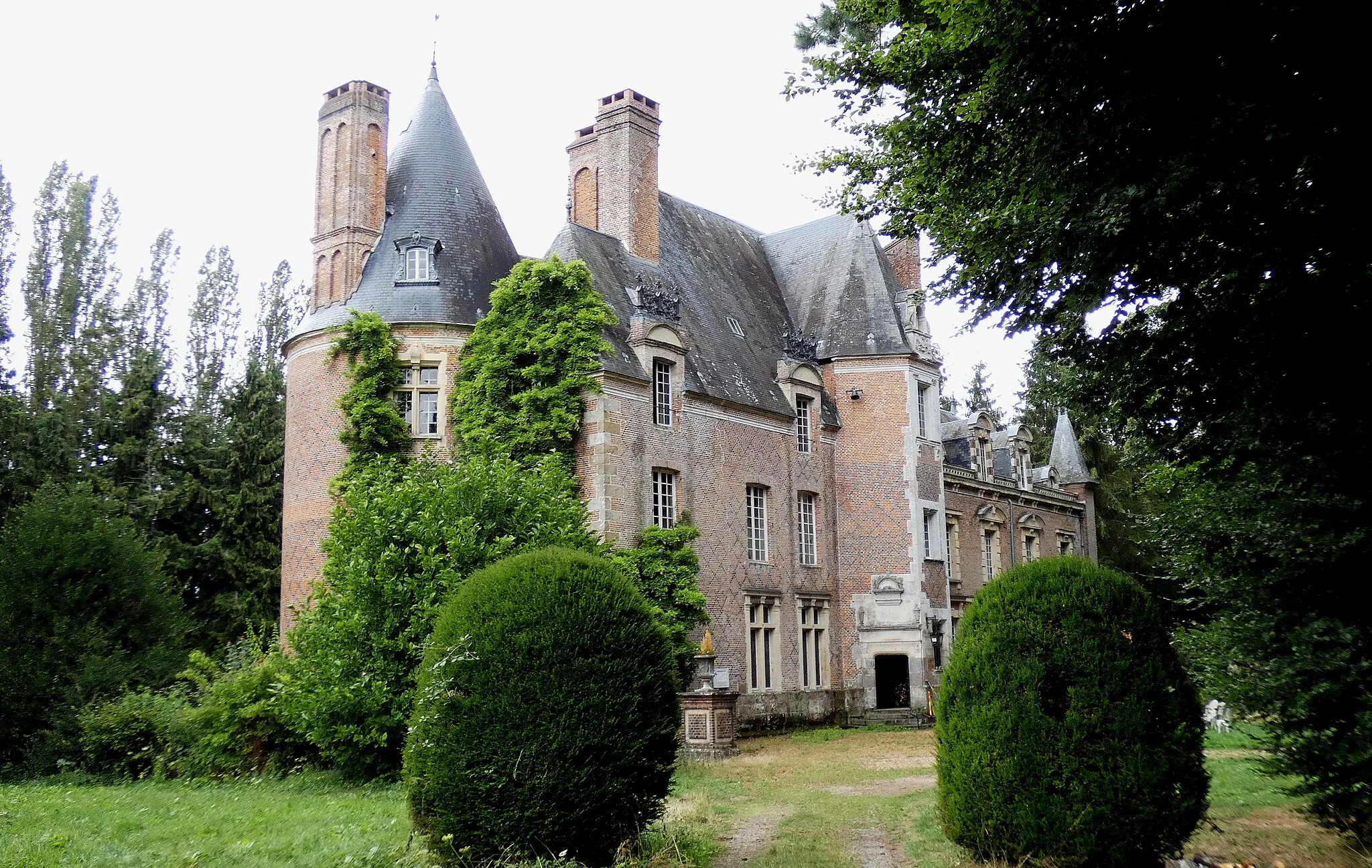
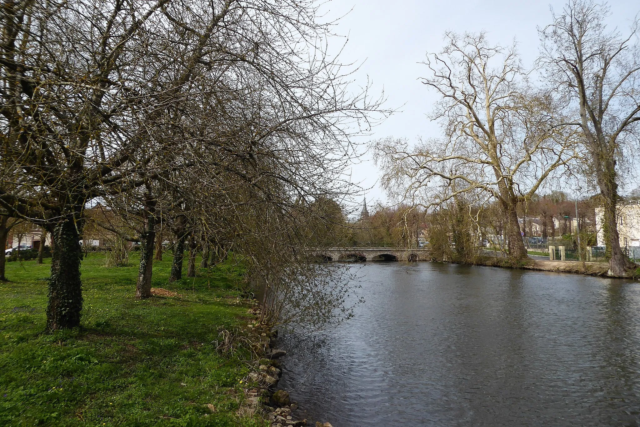
Start: Breteuil Village centerBreteuil: A serene cycling getaway in Haute-Normandie.
Breteuil is a locality situated in the Haute-Normandie region of France. The area is known for its charming rural roads and peaceful countryside, offering a pleasant cycling experience. Cyclists can explore the scenic landscapes, meandering through small villages and enjoying the tranquil atmosphere. While Breteuil may not have any famous cycling-related spots or well-known climbs nearby, its peaceful and cyclist-friendly environment makes it a suitable destination for road and gravel cyclists.9 km
9 km
BeaubrayVillageBeaubray offers stunning views of the countryside and small farmhouses.
24 km
24 km
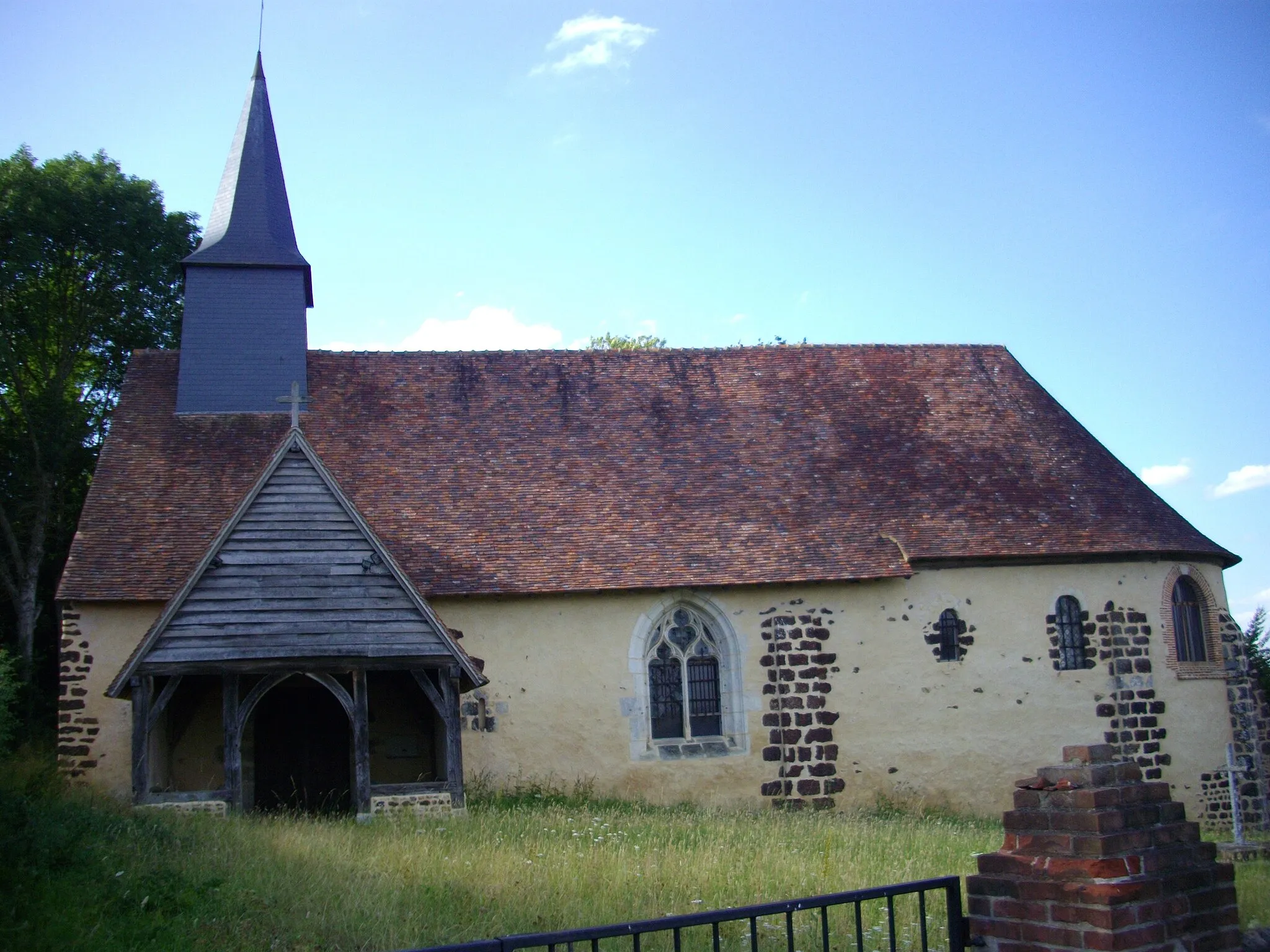
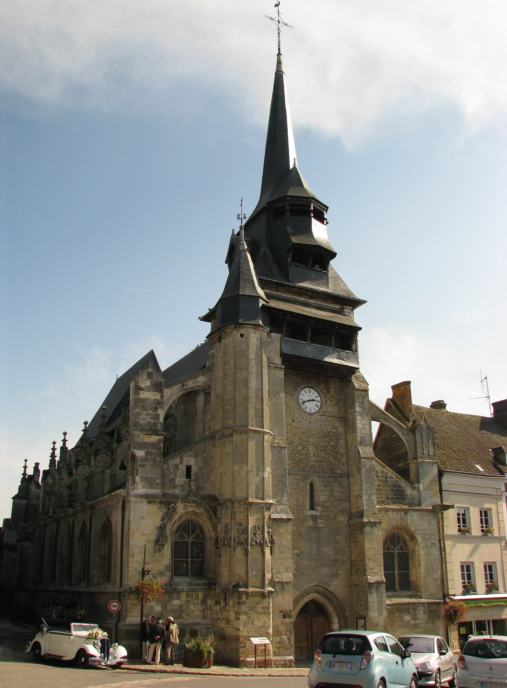
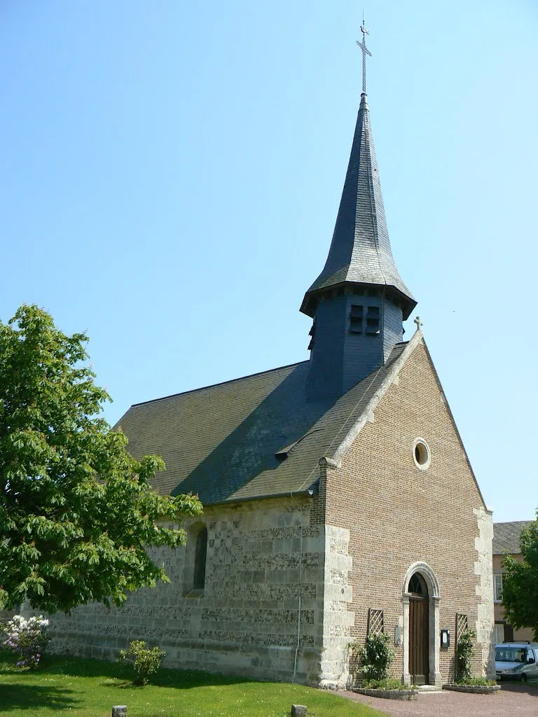
Faverolles-la-CampagneVillageFaverolles-la-Campagne is a charming village with an impressive church and delightful traditional houses.
37 km
37 km
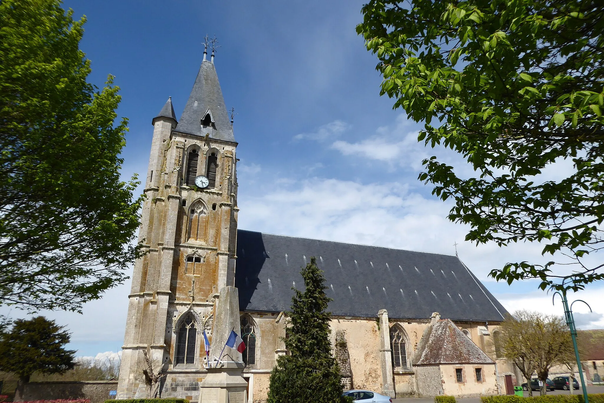
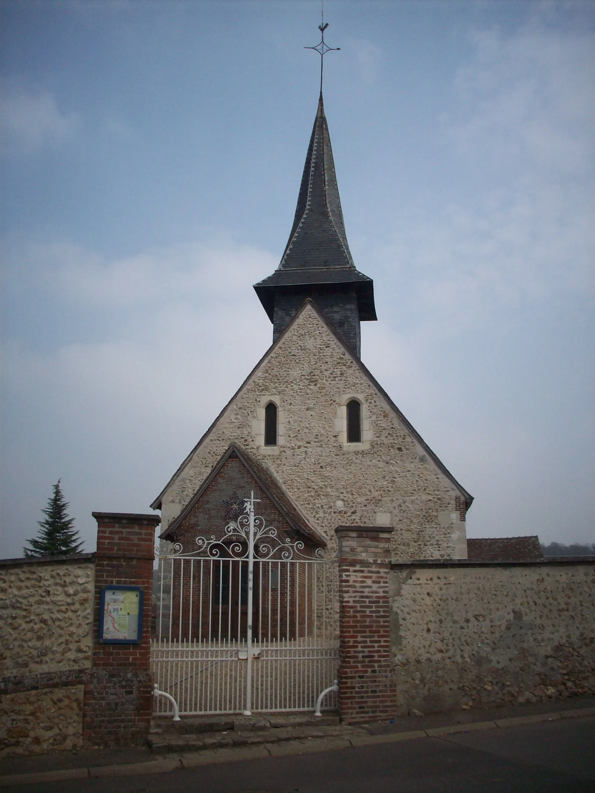
CaugéVillageCaugé is a beautiful town known for its well-preserved medieval architecture and peaceful ambiance.
45 km
45 km
Gaudreville-la-RivièreVillageGaudreville-la-Rivière is a quaint village that provides a quiet spot to rest and enjoy the picturesque surroundings.
58 km
58 km
Les EssartsVillageLes Essarts showcases the beauty of rural Normandy, with its charming farms and expansive fields.
66 km
66 km
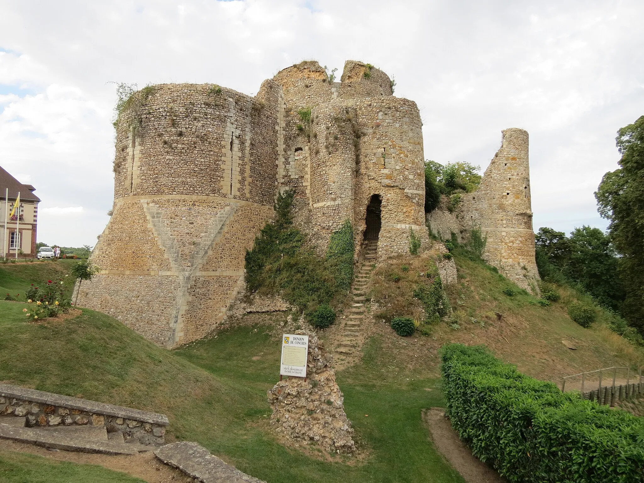
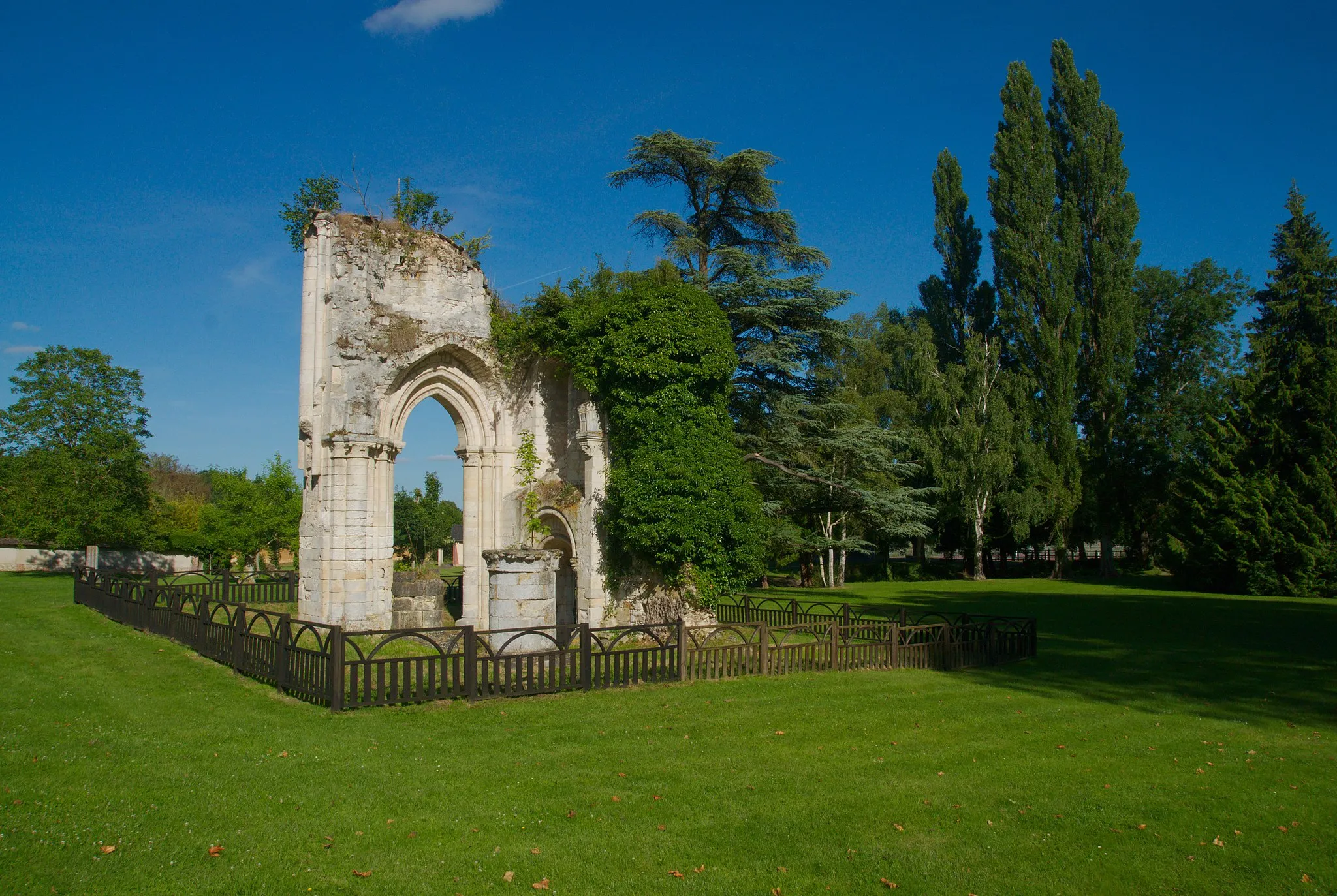
Ruines du chateauCastle RuinsThe Ruins of the Chateau offer a glimpse into the region's history, providing a fascinating stop on the journey.
66 km
66 km
Finish: Breteuil Village centerBreteuil: A serene cycling getaway in Haute-Normandie.
Cycling routes nearby: