Nature and Heritage
A road cycling route starting from Gainneville
Discover the natural beauty and cultural heritage of Haute-Normandie
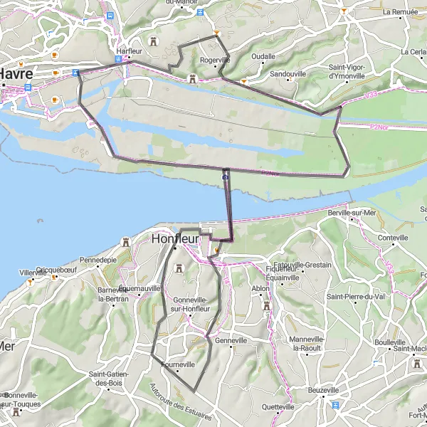
Map
Experience the best of Haute-Normandie's natural and cultural gems with this scenic cycling route. Marvel at the region's picturesque landscapes, meandering rivers, and historical sites. The ride takes you through quaint villages, enchanting forests, and along the coast. With moderate elevation changes, this route is suitable for cyclists of varying skill levels looking to immerse themselves in French history and clear their minds in beautiful surroundings.
road
73 km
359 m
Chill
Route profile
Highlights on the route
0 km
0 km
Start: Gainneville Village centerGainneville: Exploring the peaceful countryside and coastal areas of Gainneville in Haute-Normandie.
Gainneville is a locality located in the Haute-Normandie region of France. From a cyclist's perspective, the area provides a mix of cycling routes and quiet roads to explore. The region features flat terrain, making it suitable for leisurely rides. While there are no famous cycling spots or well-known climbs directly in Gainneville, cyclists can enjoy the peaceful countryside and pass through small villages during their rides. Additionally, the coastal areas nearby offer opportunities for scenic rides along the shoreline.2 km
2 km
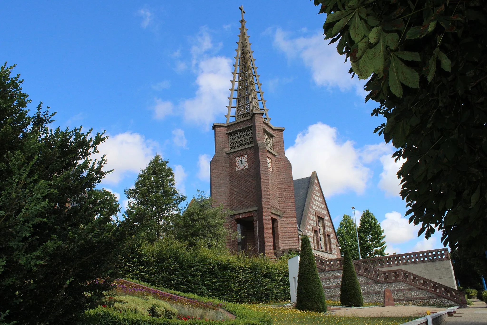
RogervilleVillage20 km
20 km
Maison de la RéserveViewpointMake a stop at Maison de la Réserve and explore the nature reserve, home to a rich variety of bird species.
26 km
26 km
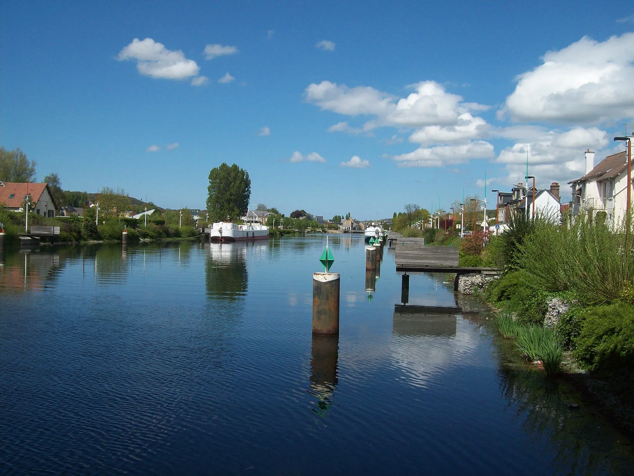
La Rivière-Saint-SauveurVillagePass through La Rivière-Saint-Sauveur and admire its well-preserved half-timbered houses.
43 km
43 km
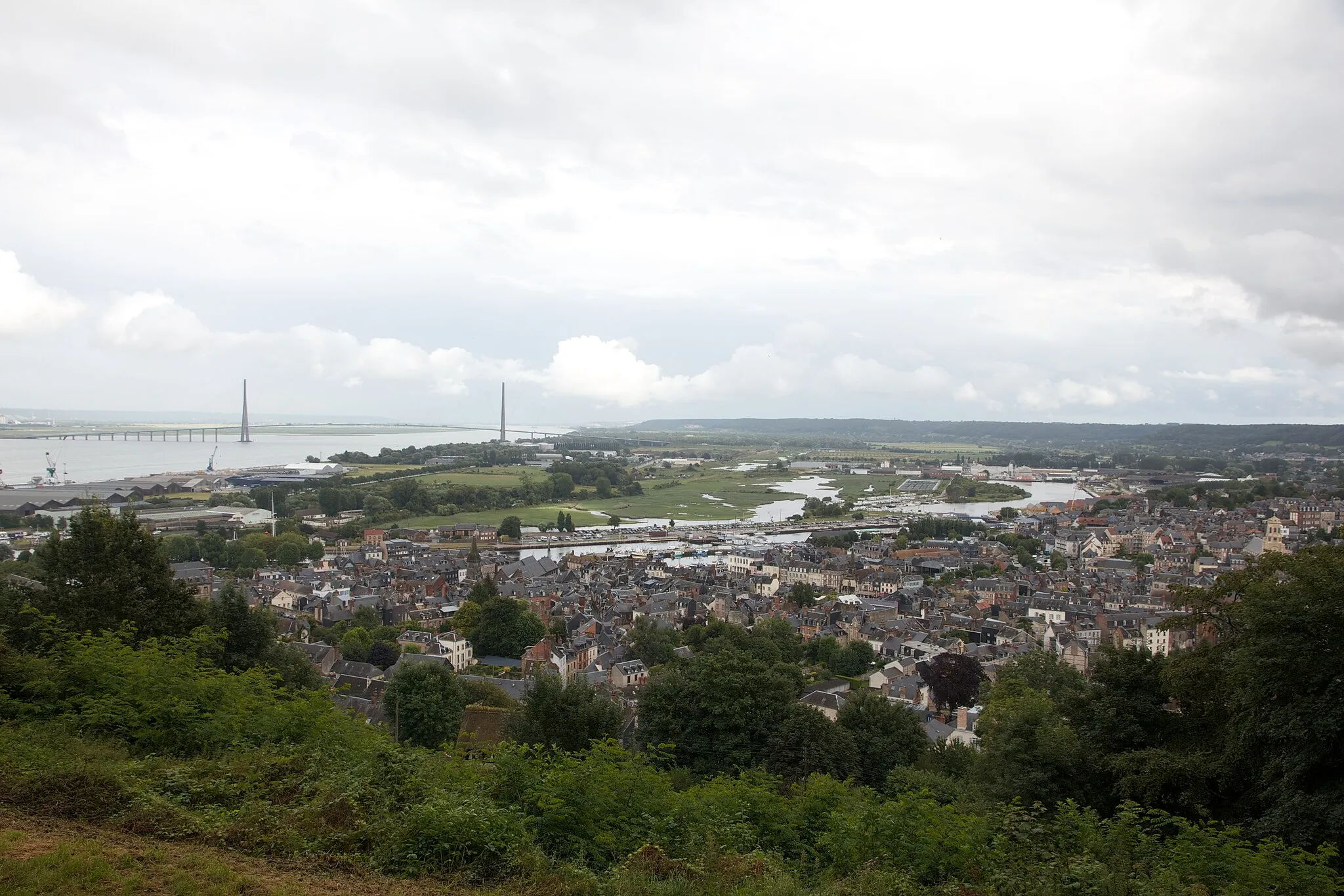
Mont-JoliViewpointHead to Mont-Joli for stunning views of the Seine estuary and the majestic Pont de Normandie.
43 km
43 km
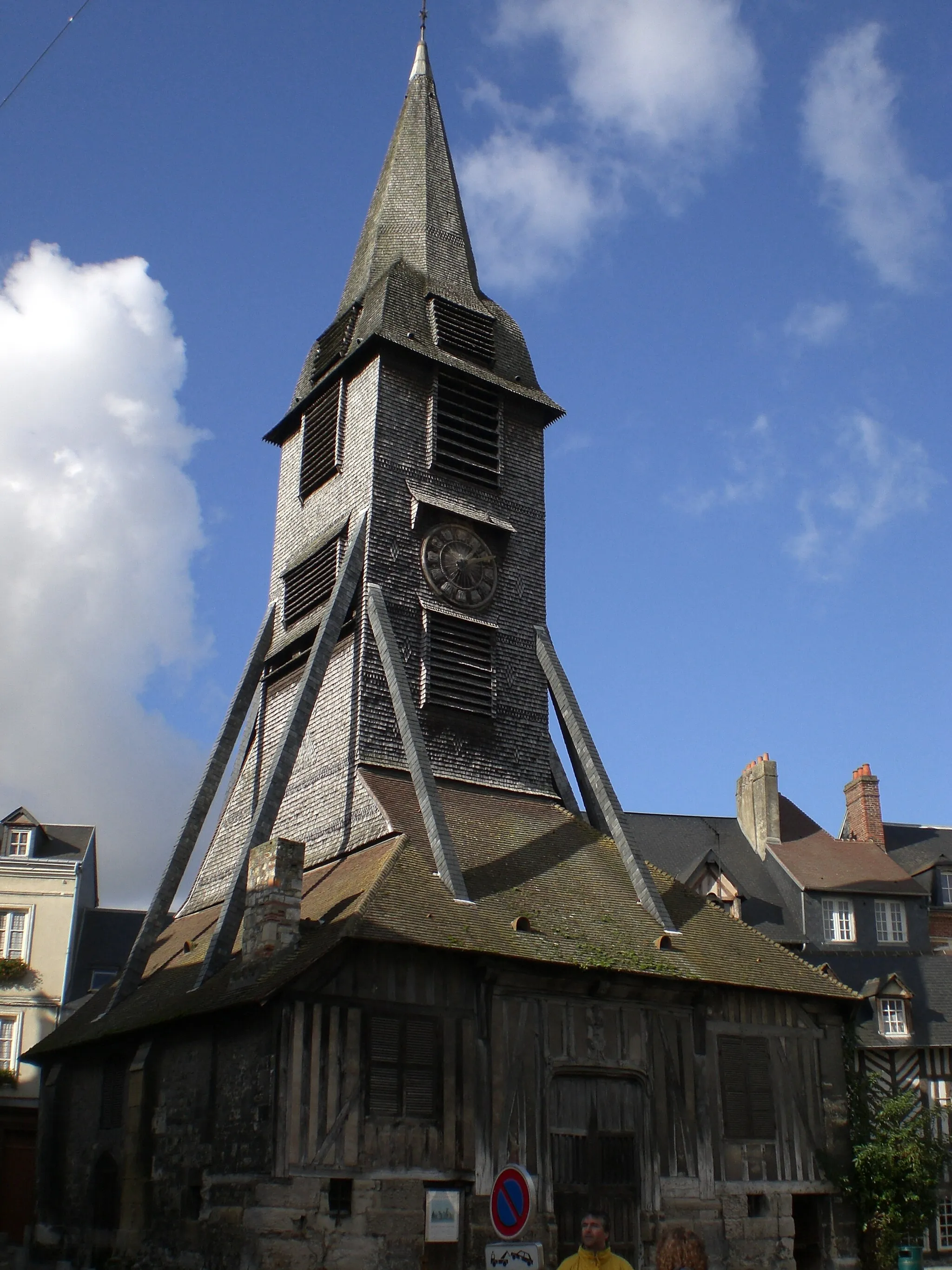
HonfleurTownStop at Honfleur and visit its picturesque harbor, known as a source of inspiration for many artists.
66 km
66 km
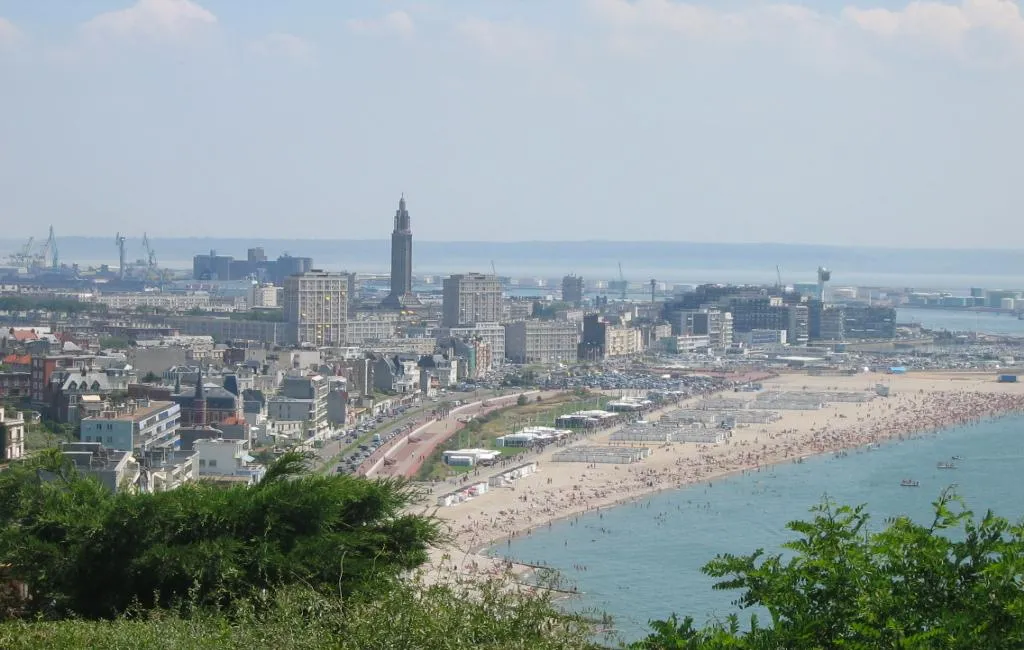
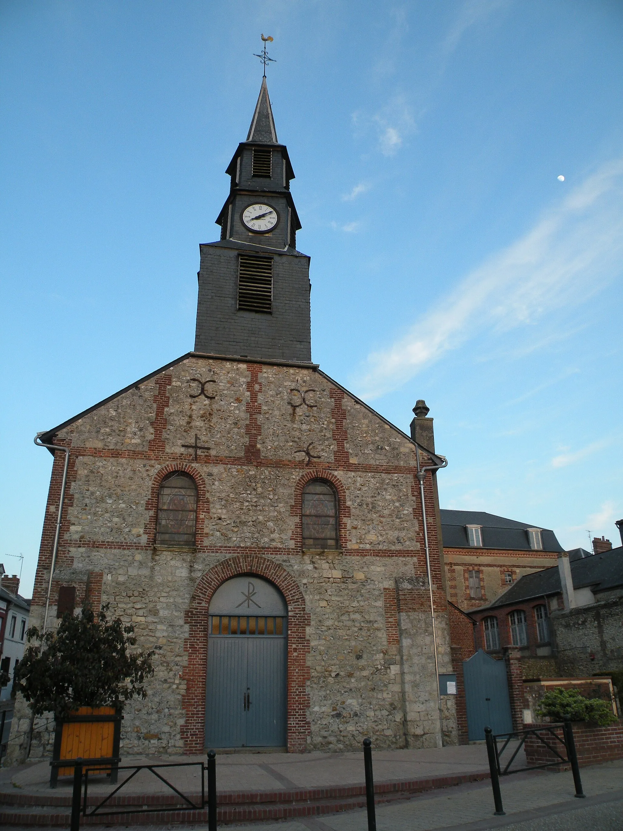
HarfleurVillageAs your ride comes to an end in Harfleur, soak in the history of this ancient port town.
73 km
73 km
Finish: Gainneville Village centerGainneville: Exploring the peaceful countryside and coastal areas of Gainneville in Haute-Normandie.
Cycling routes from Gainneville:
Cycling routes nearby: