Scenic Loop of Pont-de-l'Arche
A road cycling route starting from La Haye-Malherbe
Embark on a scenic 73 km road cycling loop, starting near La Haye-Malherbe and passing by Pont-de-l'Arche.
Map
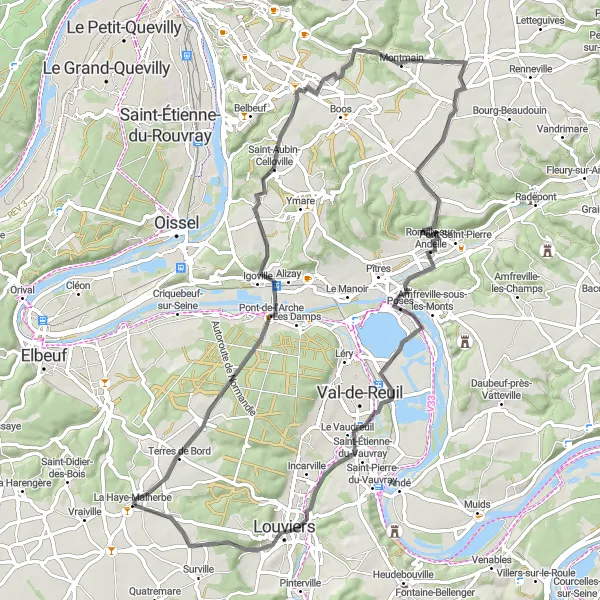
Enjoy a picturesque road cycling route that takes you through charming villages, serene landscapes, and iconic landmarks like the Table d'orientation de la cote des deux amants. With a moderate difficulty level, this 73 km loop is suitable for amateur cyclists looking to explore the beauty of Pont-de-l'Arche. Don't forget to visit the medieval fortress of Le donjon de Conches and admire the stunning views from high above. Return to La Haye-Malherbe with lasting memories of a beautiful cycling adventure.
road
73 km
501 m
Tough
Route profile
Highlights on the route
0 km
0 km
Start: La Haye-Malherbe Village centerLa Haye-Malherbe: Discover the beauty of La Haye-Malherbe on two wheels.
Situated in Haute-Normandie, France, La Haye-Malherbe is a pleasant locality that offers enjoyable cycling opportunities. As a road and gravel cyclist, you can explore the scenic routes surrounding La Haye-Malherbe and immerse yourself in the beauty of the French countryside. The roads here are generally well-maintained, making cycling a smooth experience. An iconic cycling spot nearby is the city of Rouen, which offers historical charm and stunning views. La Haye-Malherbe is a great choice for cyclists looking for a mix of beautiful landscapes, cultural attractions, and smooth roads.11 km
11 km
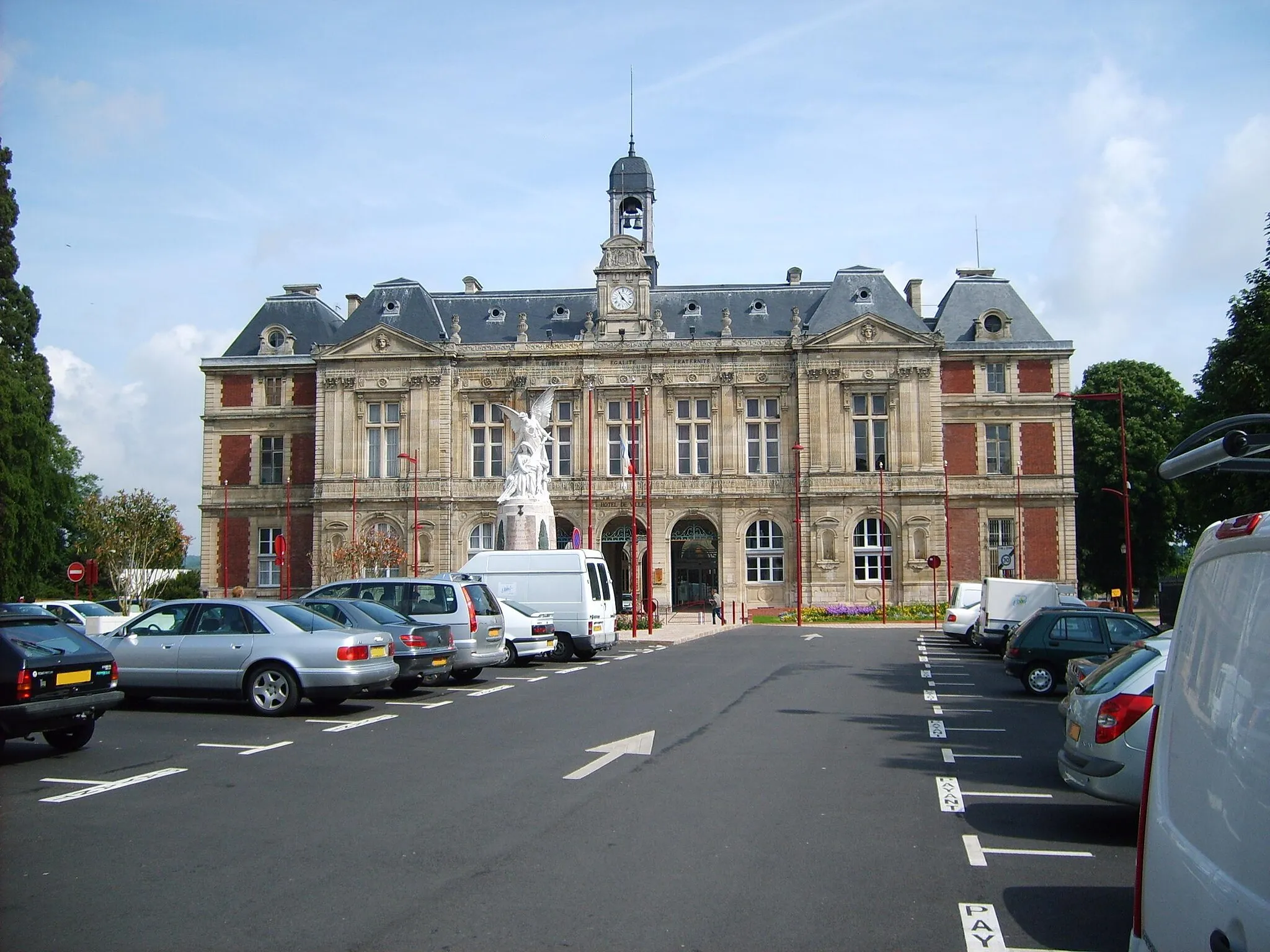
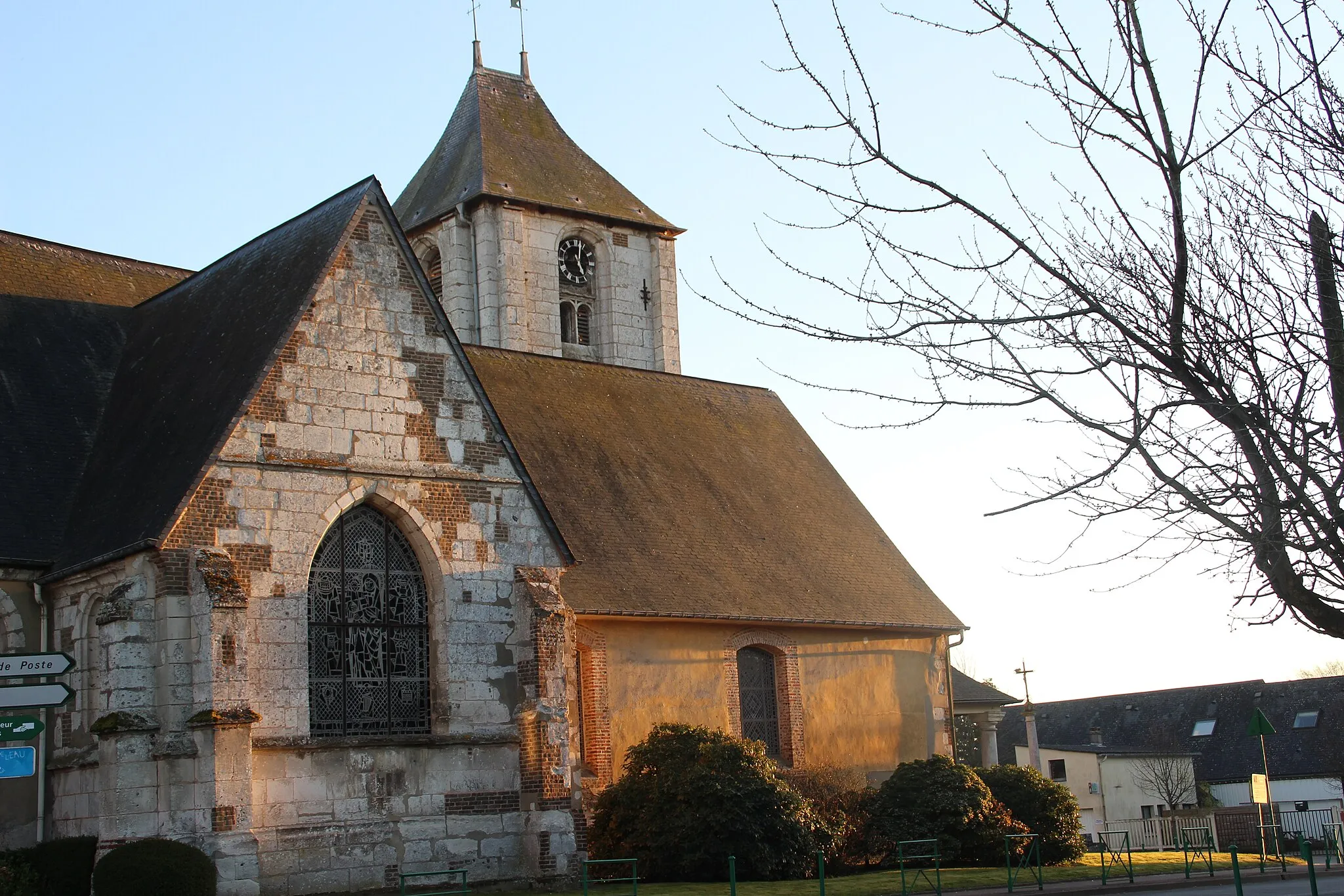
Pont-de-l'ArcheVillageCross over the scenic Pont-de-l'Arche, an impressive bridge spanning the Seine River.
19 km
19 km
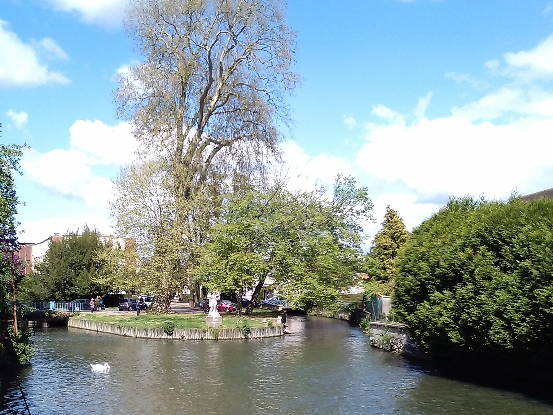
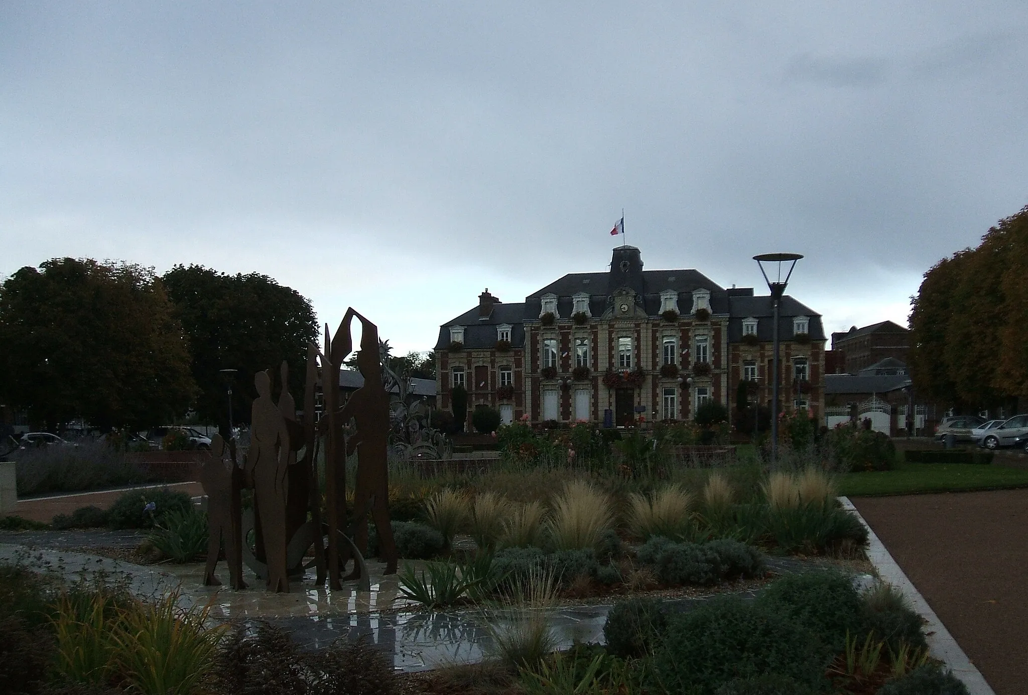
Saint-Aubin-CellovilleVillageVisit the peaceful village of Saint-Aubin-Celloville and immerse yourself in its calming ambiance.
35 km
35 km
Mesnil-RaoulVillageExperience the quaint charm of Mesnil-Raoul, a hidden gem surrounded by lush greenery.
45 km
45 km
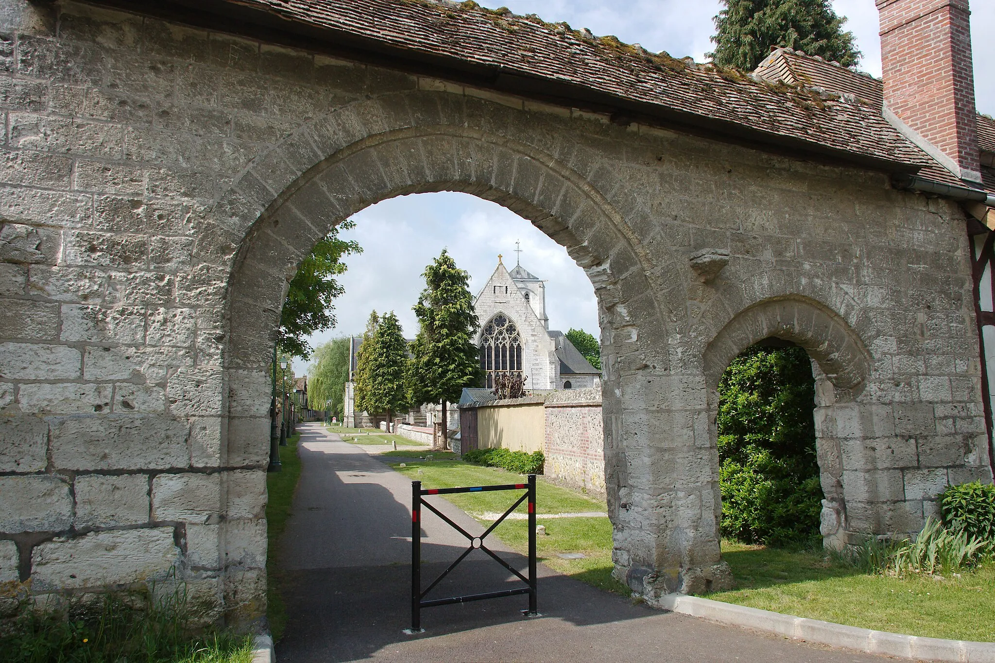
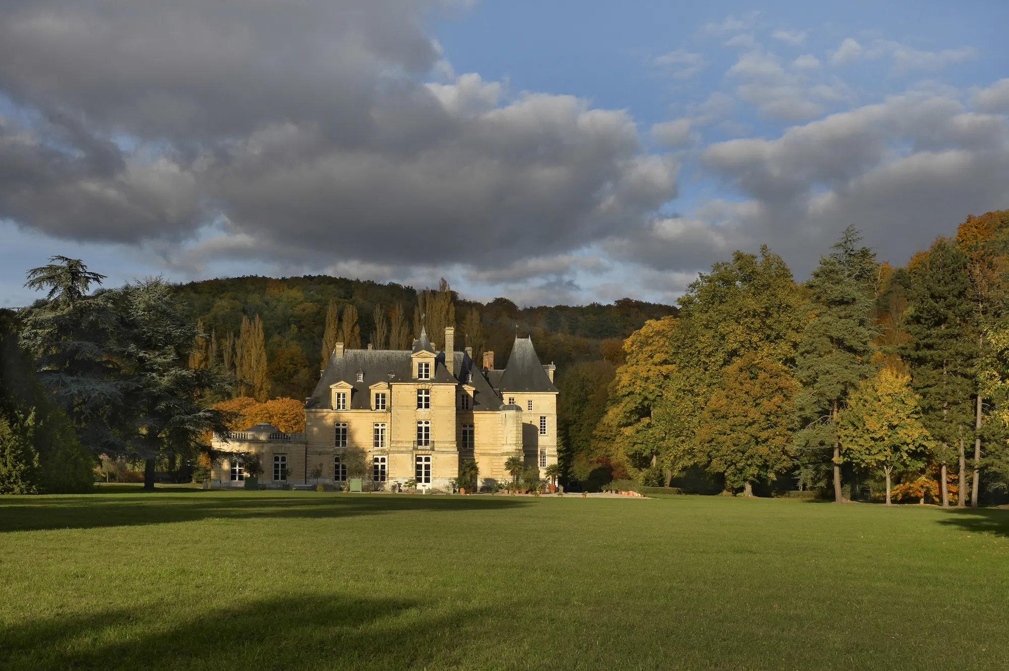
Romilly-sur-AndelleVillageExplore the historic village of Romilly-sur-Andelle and discover its cultural heritage.
48 km
48 km
Table d'orientation de la cote des deux amantsViewpointTake a break at the Table d'orientation de la cote des deux amants and marvel at the breathtaking panoramic views.
73 km
73 km
La Haye-MalherbeVillageReturn to La Haye-Malherbe, reflecting on the beauty and serenity experienced during the ride.
73 km
73 km
Finish: La Haye-Malherbe Village centerLa Haye-Malherbe: Discover the beauty of La Haye-Malherbe on two wheels.
Cycling routes from La Haye-Malherbe:
Tour de Louversey La Haye-Malherbe Gravel Adventure Gravel Adventure: Mesnil-Esnard Loop Historical Cycling Trail of Normandy Normandy Road Cycling Delight Elbeuf Gravel Delight La Haye-Malherbe Gravel Trail Scenic Loop of Pont-de-l'Arche Gravel Adventure to Château de Gaillon The Charm of Surtauville
Cycling routes nearby: