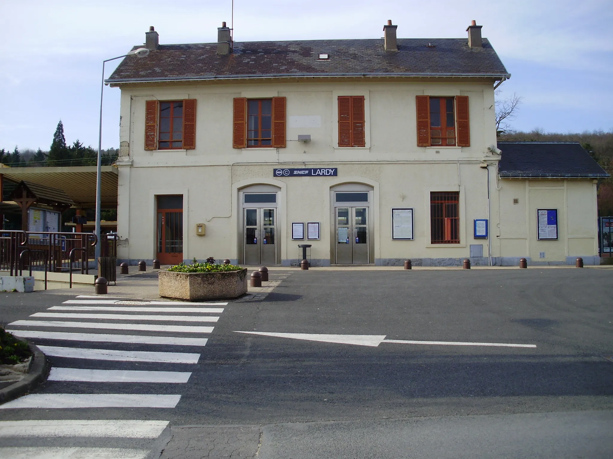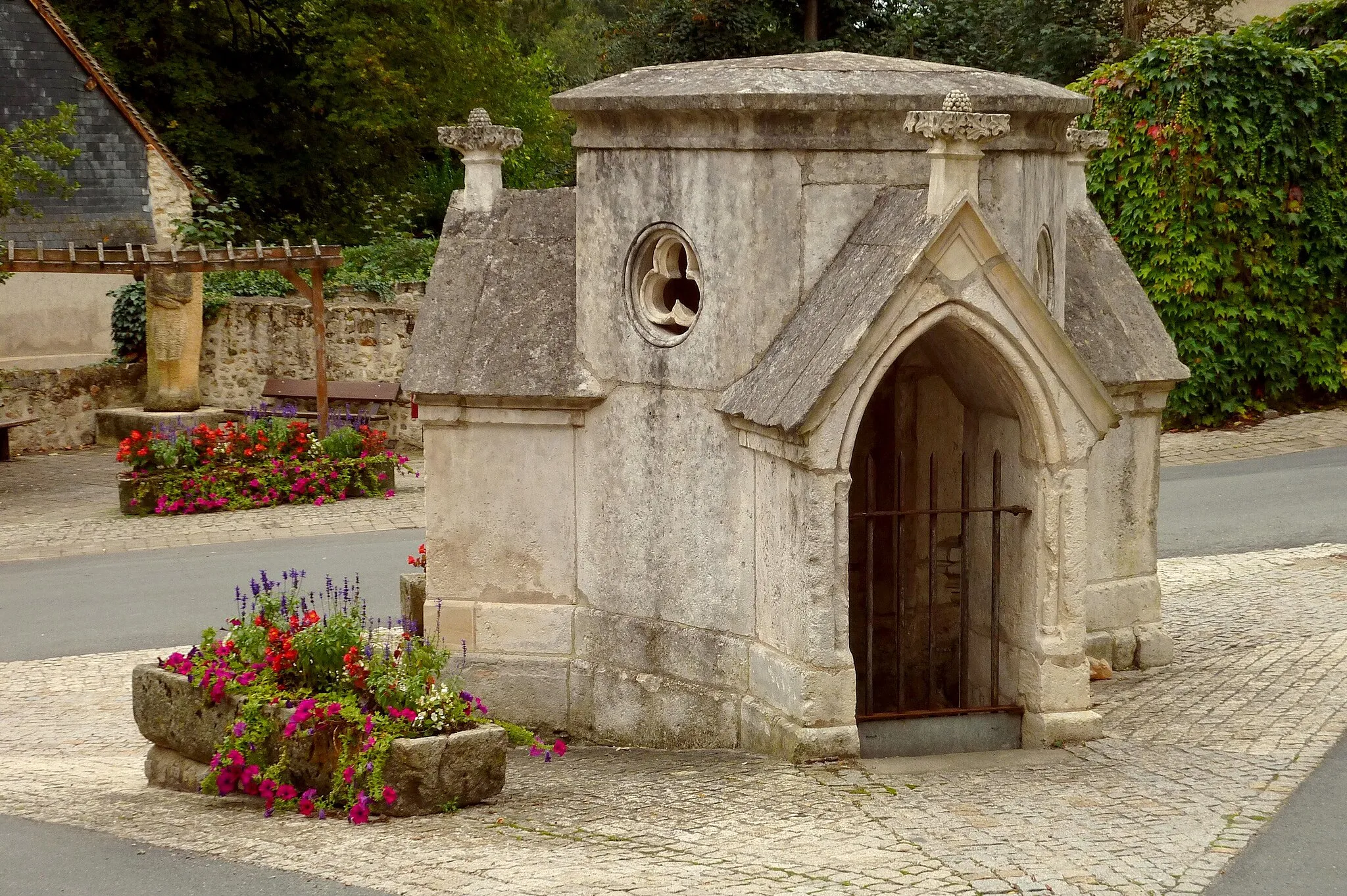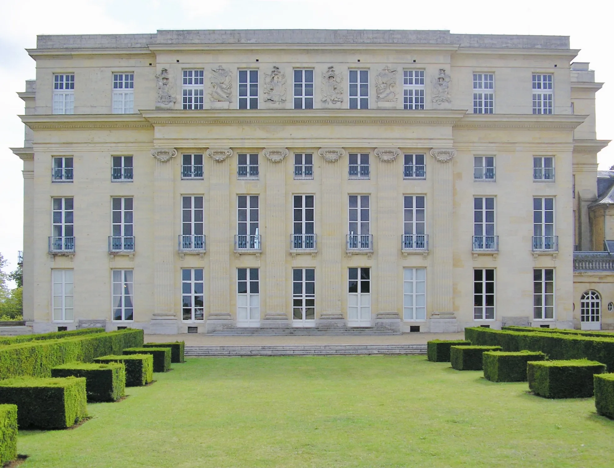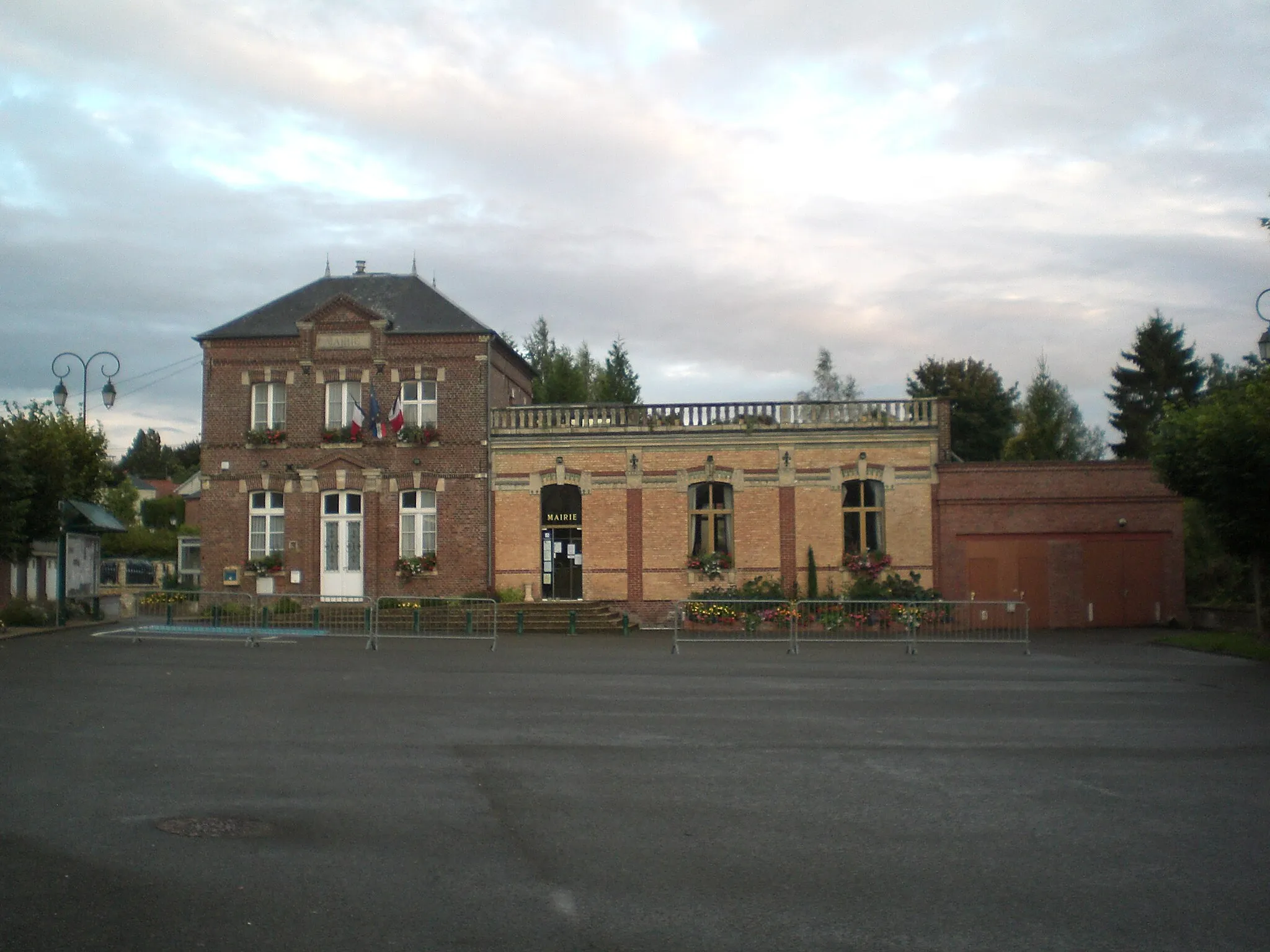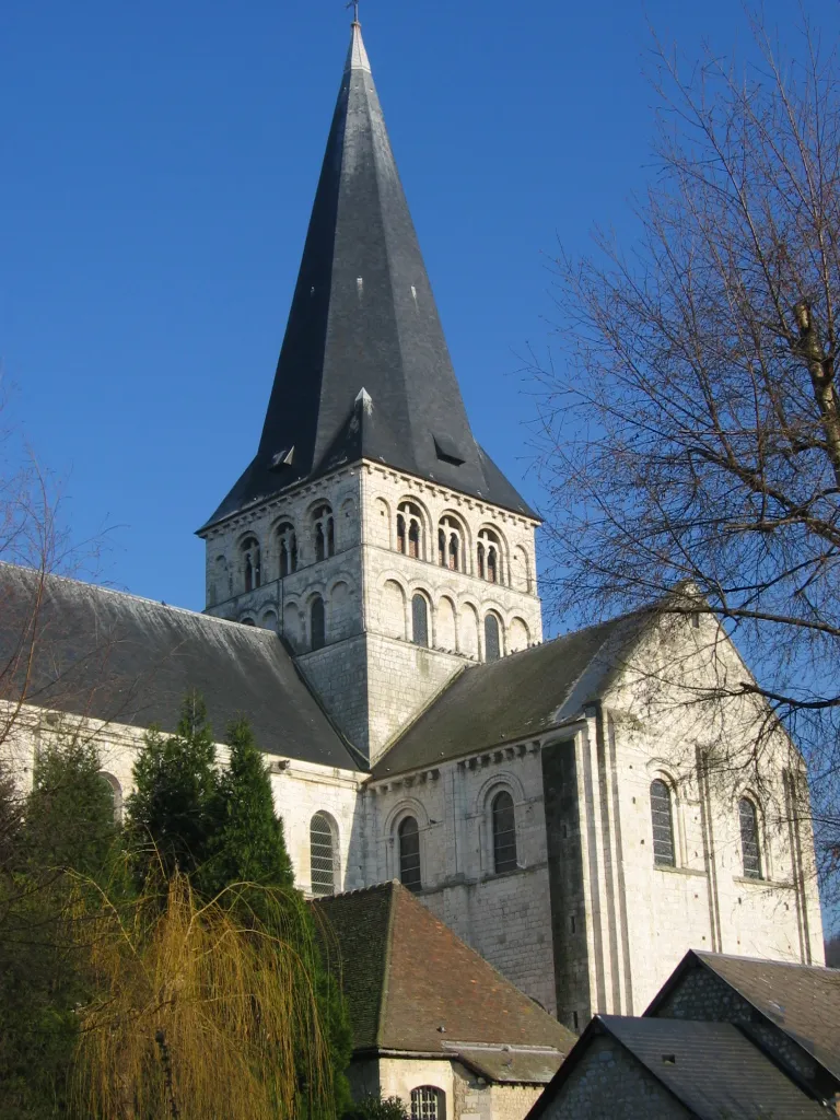
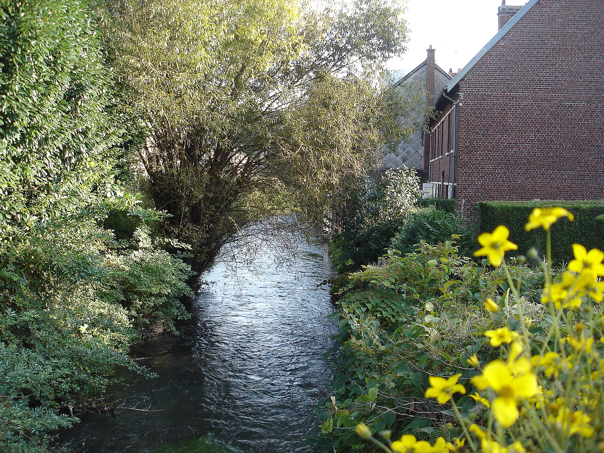
Picturesque cycling destination in Haute-Normandie
Cycling routes from Saint-Martin-de-Boscherville
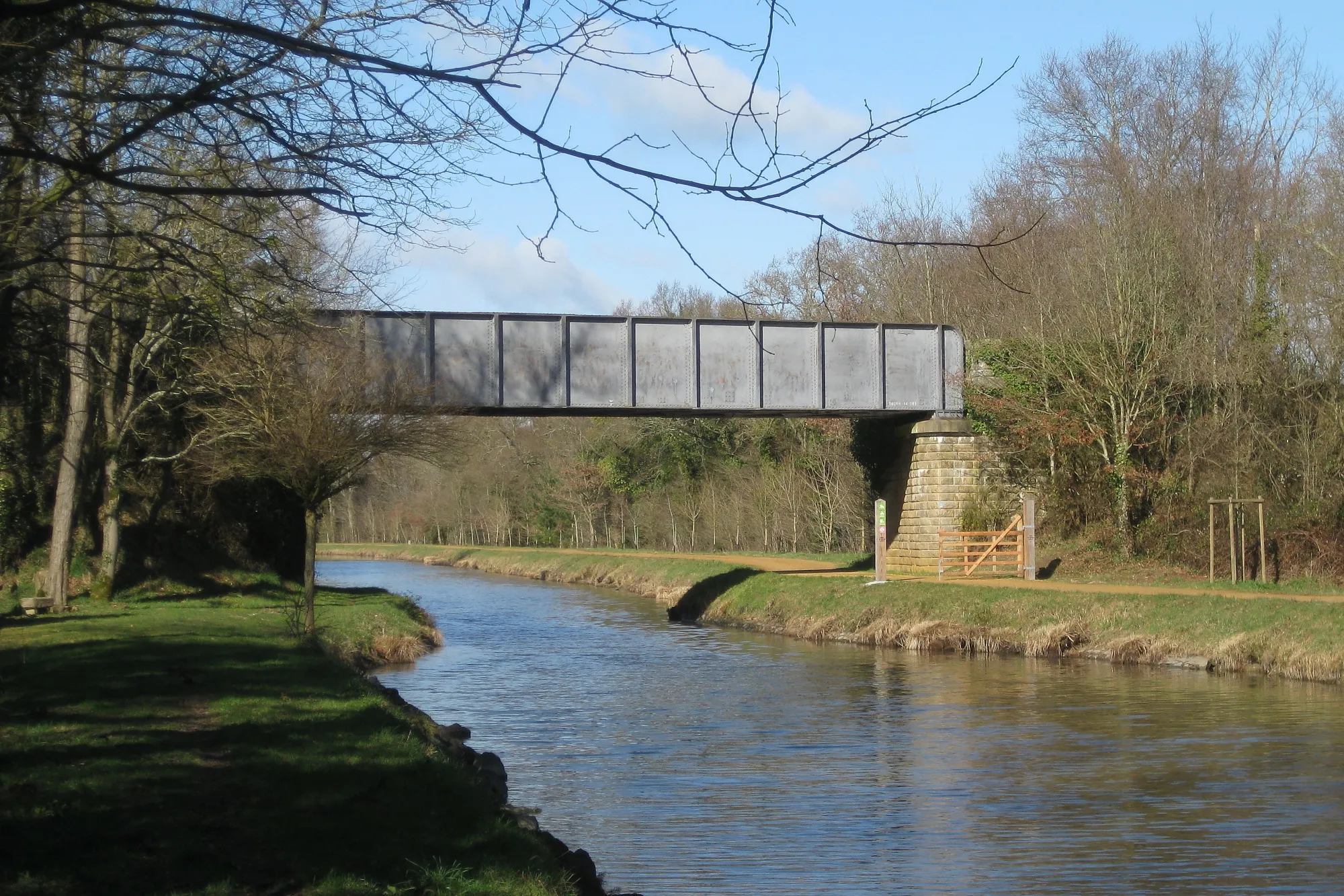
Located in Haute-Normandie, France, Saint-Martin-de-Boscherville is a charming locality that offers great opportunities for road and gravel cycling. This cycling-friendly area is known for its beautiful landscapes, including scenic countryside roads and rolling hills. Cyclists can enjoy peaceful rides and explore the historical attractions along the way. Saint-Martin-de-Boscherville is also close to several popular cycling routes, such as the Avenue Verte, which connects Paris to London. With its cyclist-friendly atmosphere and stunning surroundings, this locality is a must-visit for cycling enthusiasts.
A journey through picturesque towns and captivating landscapes
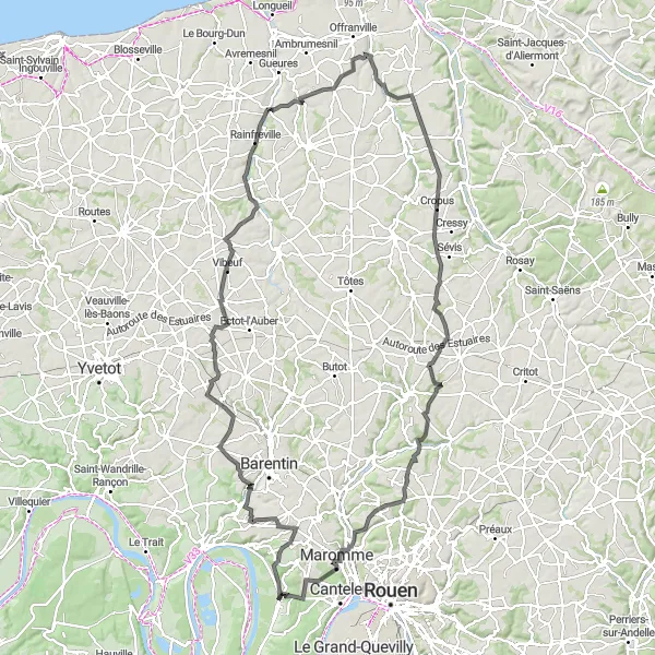
Experience the picturesque beauty of rural Normandy on this road cycling route. Starting near Saint-Martin-de-Boscherville, you'll pedal through charming villages such as Villers-Écalles, Saint-Martin-aux-Arbres, and Biville-la-Rivière. Along the way, you'll encounter stunning landscapes and enjoy breathtaking views. The route covers a distance of 130 kilometers with an ascent of 1132 meters. It is suitable for well-trained amateur cyclists looking for a scenic and immersive cycling experience.
A route of scenic beauty and architectural marvels
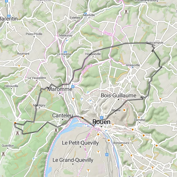
Immerse yourself in the beauty of Norman landscapes and architectural gems with this road cycling route. Starting near Saint-Martin-de-Boscherville, you'll have the opportunity to visit Notre-Dame-de-Bondeville, famous for its stunning church. As you pedal through the countryside, you'll also encounter Saint-Martin-du-Vivier and its charming streets. The highlight of the route is the panoramic views from Panorama de Mont-Saint-Aignan. The route covers a distance of 48 kilometers with an ascent of 598 meters. It is recommended for well-trained amateur cyclists looking for a picturesque and culturally-rich cycling experience.
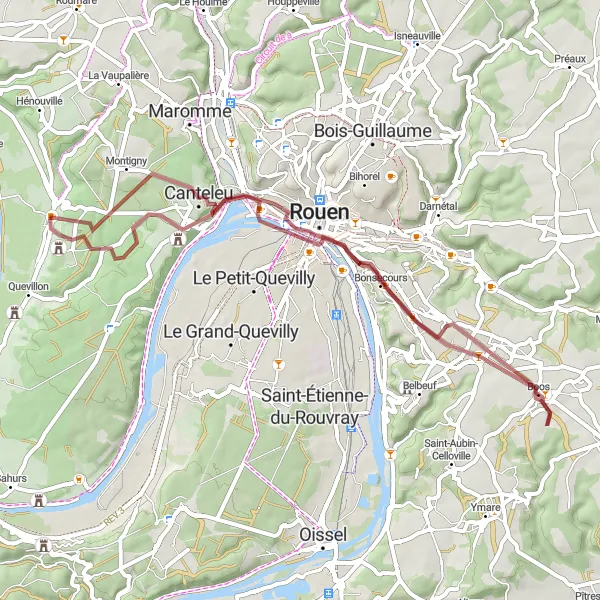
Explore the picturesque countryside near Saint-Martin-de-Boscherville
This round-trip cycling route takes you on a scenic journey through the beautiful countryside near Saint-Martin-de-Boscherville. You'll pedal along charming roads and enjoy panoramic views of the rolling hills, charming villages, and historic landmarks. The route offers a mix of challenging climbs and tranquil valleys, making it a great option for experienced cyclists looking for an adventurous ride.
The Normandy Adventure

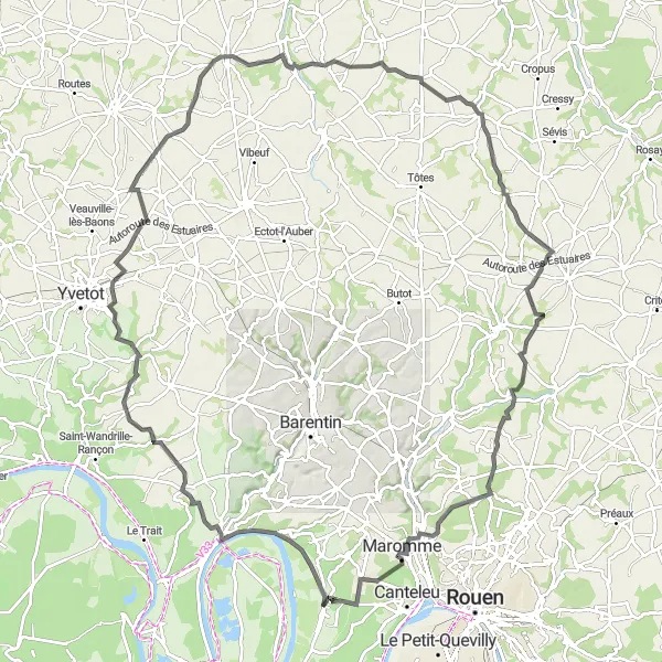
Explore the picturesque villages and stunning landscapes of Normandy
Embark on a thrilling cycling tour through the beautiful region of Haute-Normandie in France. With a total distance of 95 kilometers and an elevation gain of 686 meters, this road route is suitable for well-trained amateur cyclists. Experience the charm and tranquility of Saint-Paër, Ouville-l'Abbaye, Belleville-en-Caux, Sierville, and La Vaupalière as you pedal through scenic countryside and indulge in the rich history and culture of the region.
Embark on a thrilling gravel cycling adventure through scenic landscapes
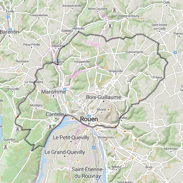
Escape the beaten path with this 50-kilometer gravel cycling route that takes you through idyllic countryside and hidden gems. With an elevation gain of 534 meters, this route is suitable for adventurous cyclists seeking a unique experience. Cycle from Canteleu to Ancre de la Jeanne d'Arc, Le Mesnil-Esnard, Panorama de Mont-Saint-Aignan, and Saint-Martin-de-Boscherville. Immerse yourself in the tranquility of nature and enjoy the peacefulness of off-road cycling in the heart of Haute-Normandie.
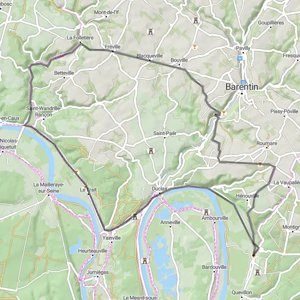
Glimpse into Norman history and scenic landscapes
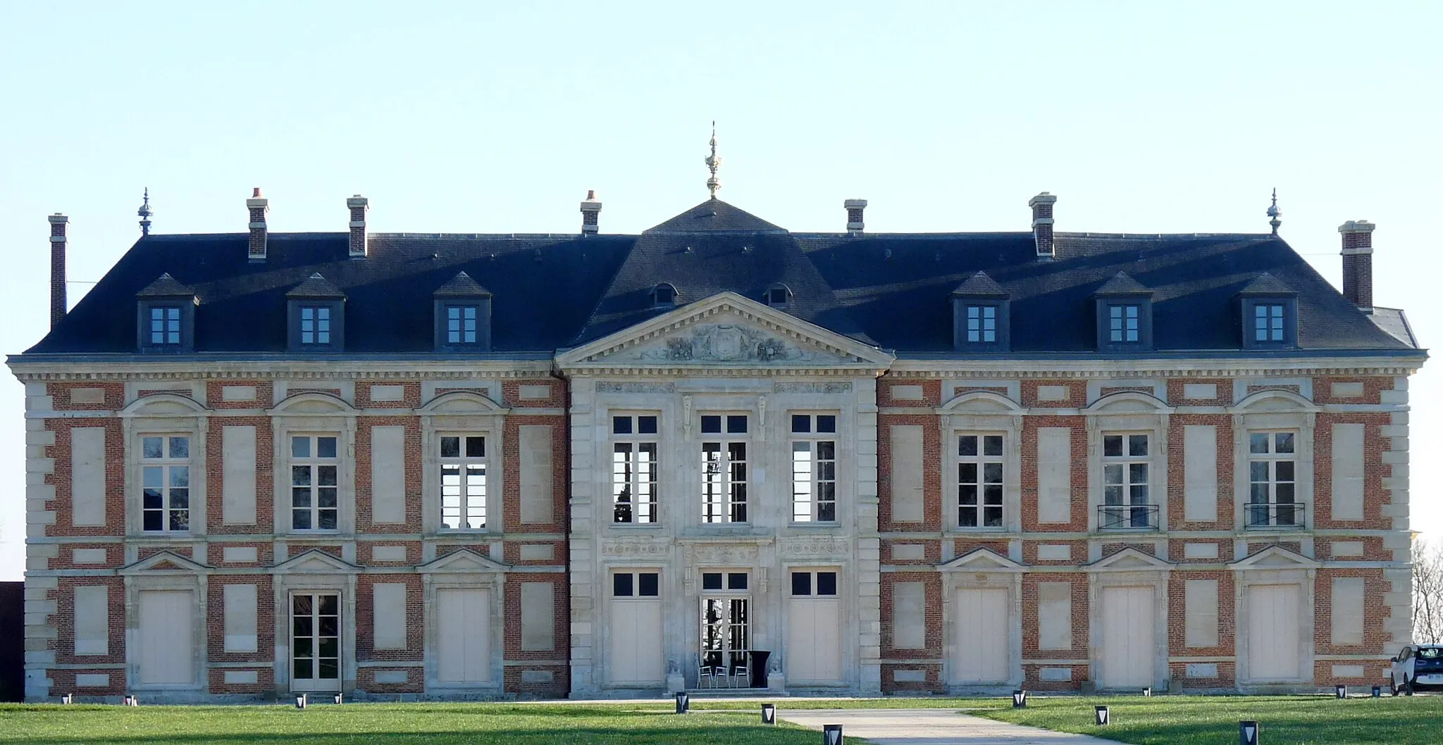
This road cycling route offers a mix of historical exploration and picturesque scenery. Starting near Saint-Martin-de-Boscherville, you'll pass by the beautiful Château du Taillis, known for its Renaissance architecture. As you pedal through the countryside, you'll also encounter the charming village of Hénouville. The route is moderate in difficulty and covers a distance of 59 kilometers with 490 meters of ascent. It is a great option for well-trained amateur cyclists looking to combine cultural and natural discoveries.
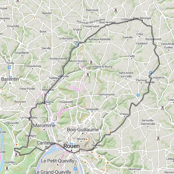
Embark on a thrilling cycling journey from picturesque villages to breathtaking viewpoints
Experience the best of Haute-Normandie with this road cycling route, spanning 84 kilometers and featuring an elevation gain of 694 meters. Explore Malaunay, Cottévrard, Bierville, Roncherolles-sur-le-Vivier, Panorama Rouen Est, and Ferme des Templiers as you cycle through rolling hills, charming countryside, and panoramic viewpoints over the Seine River. Discover the peacefulness and allure of the French countryside while taking in stunning vistas along the way.
Journey through time and panoramic beauty
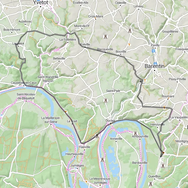
Experience the richness of Normandy's history and enjoy breathtaking views with this road cycling route. Starting near Saint-Martin-de-Boscherville, you'll pass by picturesque villages like Sainte-Marguerite-sur-Duclair and Saint-Clair-sur-les-Monts. As you explore the scenic countryside, you'll also come across hidden gems such as Prétot-Vicquemare and Beauval-en-Caux. The route covers a distance of 114 kilometers with an ascent of 1103 meters. It is suitable for well-trained amateur cyclists seeking a mix of historical and natural wonders.
Immerse yourself in Norman charm and enchanting landscapes
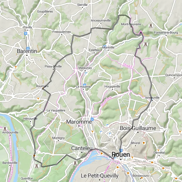
Embark on a journey through charming Norman villages and stunning landscapes with this road cycling route. Starting near Saint-Martin-de-Boscherville, you'll pass through Roumare, known for its delightful countryside scenery. Along the way, you'll also encounter Mont-Cauvaire, a village with a panoramic view, and the impressive Château de Canteleu. The route covers a distance of 56 kilometers with an ascent of 652 meters. It is suitable for well-trained amateur cyclists looking to discover the beauty of the Normandy region.
Uncover the lesser-known treasures of northern France on this captivating road cycling route
Unveil the hidden charms and delightful surprises of Haute-Normandie with this road cycling route. Covering a distance of 67 kilometers and featuring an elevation gain of 582 meters, this itinerary highlights attractions like Château du Taillis, Maulévrier-Sainte-Gertrude, Blacqueville, Saint-Pierre-de-Varengeville, and Hénouville. Immerse yourself in the stunning landscapes, architectural wonders, and local culture as you pedal through this lesser-traveled region of France.
Cycling routes nearby:


Nearby regions: