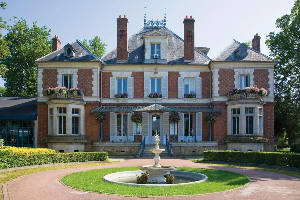
Cycling-friendly town in Ile-de-France
Cycling routes from Epinay-sous-Senart
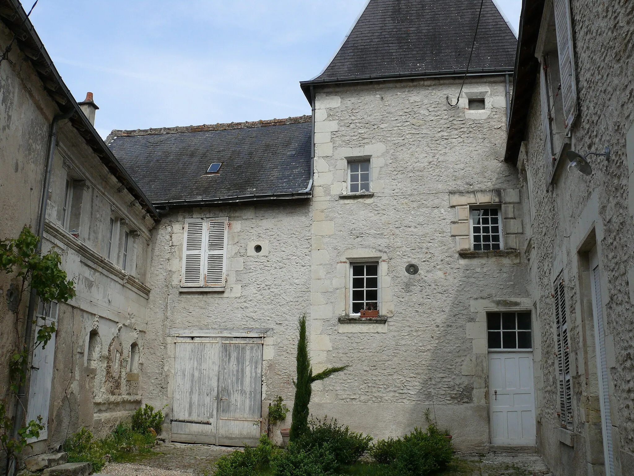
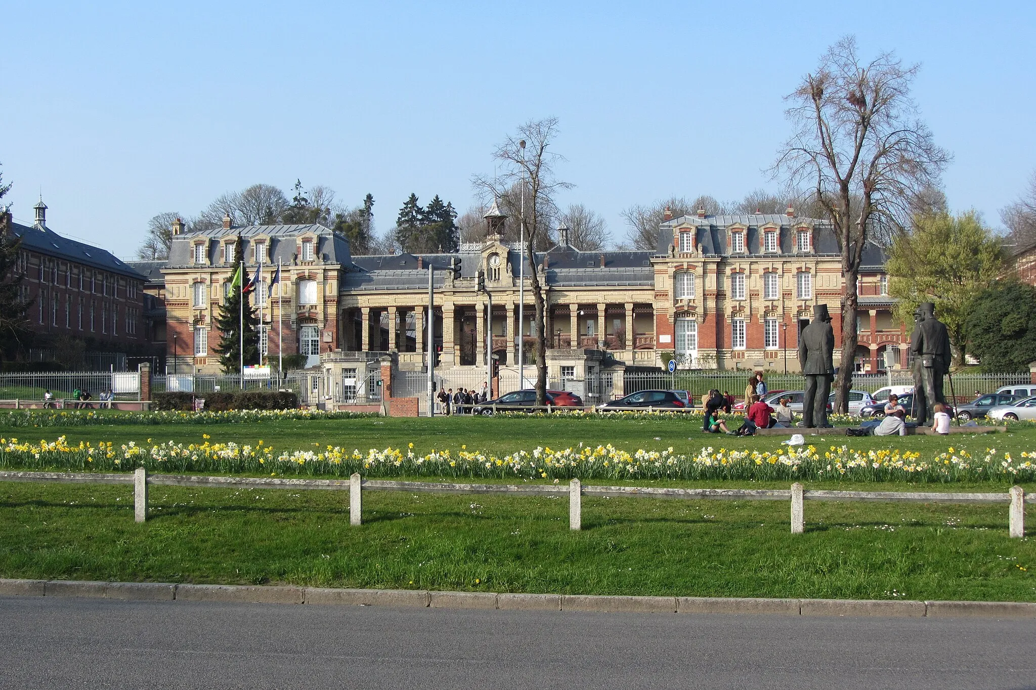
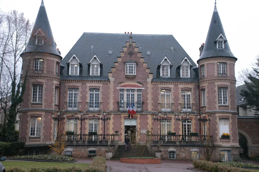
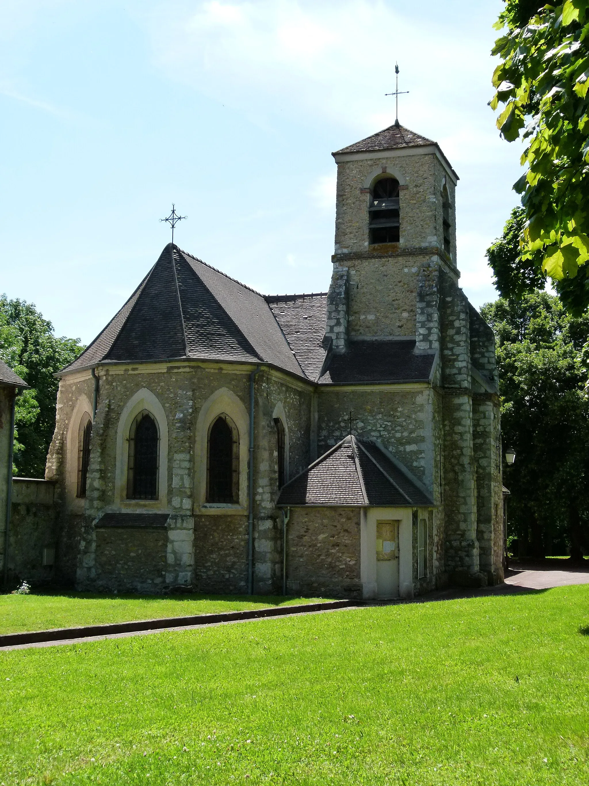
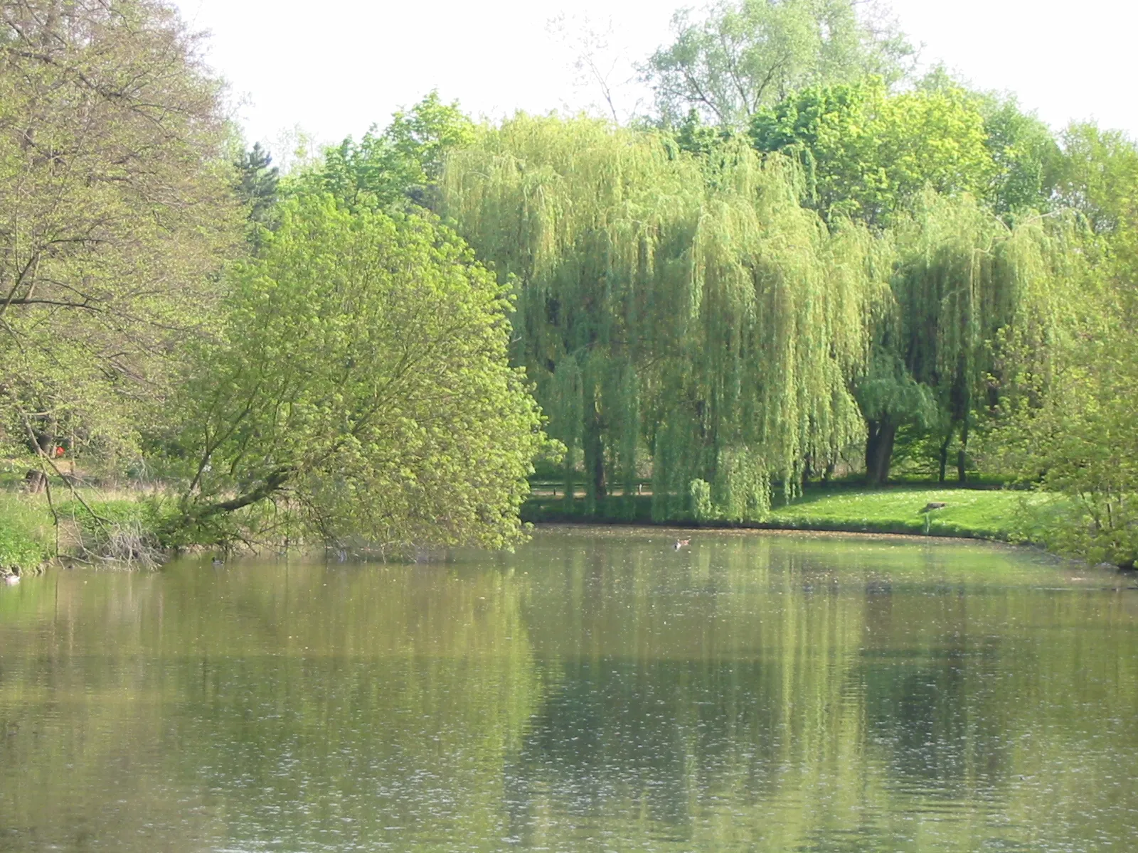
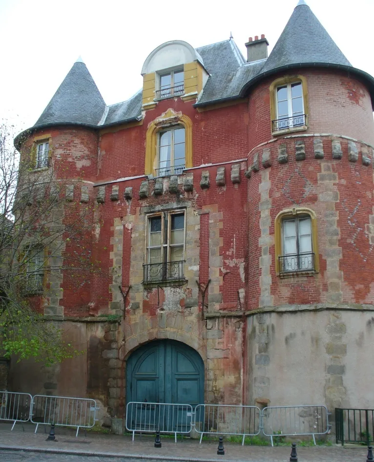
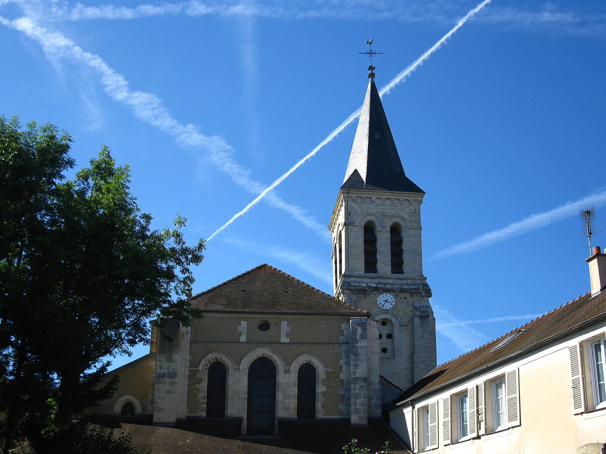
Épinay-sous-Sénart is a town located in the region of Ile-de-France, France. From a cyclist's perspective, it offers a mix of urban and rural routes, with some pleasant country roads and bike paths. There aren't any famous cycling spots or well-known climbs nearby, but it's a suitable area for road and gravel cycling.
Autour d'Épinay-sous-Sénart

Discover the charming countryside around Épinay-sous-Sénart
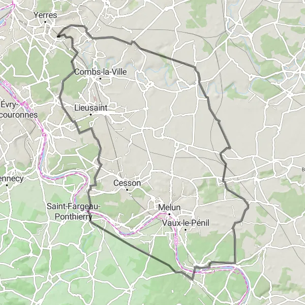
Embark on a picturesque cycling adventure through the beautiful countryside surrounding Épinay-sous-Sénart. This round-trip route offers stunning landscapes, quaint villages, and cultural highlights along the way. With a moderate difficulty level, it is ideal for well-trained amateur cyclists looking for a scenic ride. Be prepared for a total ascent of 563 meters over a distance of 132 kilometers.

Embark on a gravel adventure from Épinay-sous-Sénart to Mont Griffon
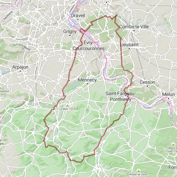
Get ready for an exhilarating gravel adventure from Épinay-sous-Sénart to Mont Griffon. Covering a distance of 82 kilometers with a challenging ascent of 506 meters, this route offers a thrilling mix of off-road trails, picturesque towns, and rugged natural landscapes. Highlights include the iconic Table d'Orientation, boasting panoramic views, and the tranquil village of Palaiseau with its charming streets and historic sites. As you pedal through Le Tapis Vert, Montrouge, and Charenton-le-Pont, you'll be captivated by the diverse beauty of the region.
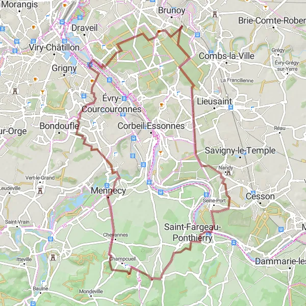
Countryside Escape
Escape the city and experience the tranquility of the countryside
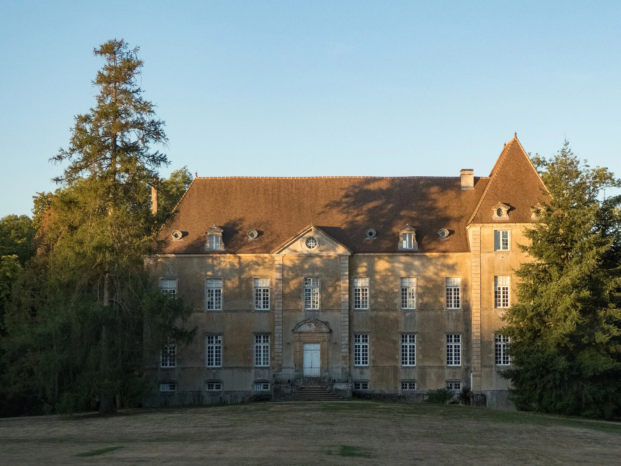
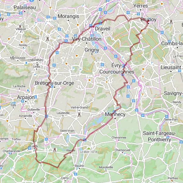
Experience the serenity of the countryside on this delightful road cycling route starting from Épinay-sous-Sénart. Covering a distance of 86 kilometers with a total ascent of 373 meters, this route offers a moderately challenging ride through picturesque villages and scenic landscapes. Highlights include Brie-Comte-Robert, a charming town known for its medieval architecture, and Brunoy, with its beautiful park and grand mansions. Crisenoy and Seine-Port provide opportunities to appreciate the region's natural beauty. This route is perfect for cyclists seeking a peaceful and scenic escape from city life.
La Vallée de l'Essonne
A scenic gravel route through the picturesque Essonne Valley
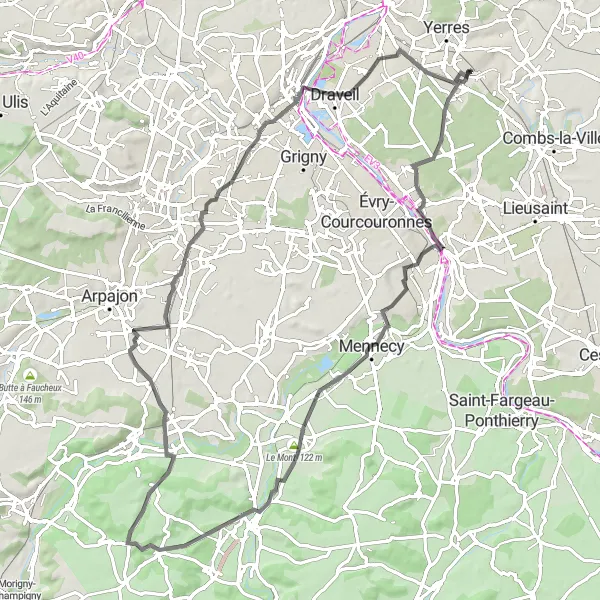
La Vallée de l'Essonne is a stunning cycling route that takes you through the charming villages and rolling countryside of the Essonne Valley. This gravel route offers a mix of scenic landscapes, quaint towns, and challenging climbs, making it perfect for experienced cyclists looking for a diverse and rewarding ride. The route showcases the natural beauty of the region, with highlights including lush forests, meandering rivers, and panoramic views from hilltop towns. Along the way, you'll also have the opportunity to explore historic sites, indulge in local cuisine, and immerse yourself in the rich cultural heritage of the region.

Embark on a short but thrilling cycling adventure from Épinay-sous-Sénart
This short 41-kilometer gravel cycling route from Épinay-sous-Sénart offers a taste of adventure for cyclists looking for a quick escape. With a total ascent of 136 meters, it is a moderately challenging ride that takes you through picturesque landscapes and highlights some notable attractions along the way.
Gravel Adventure in Épinay

Embark on an off-road gravel adventure in and around Épinay-sous-Sénart
This exciting gravel route takes you on an off-road adventure in and around Épinay-sous-Sénart. Covering a distance of 45 kilometers, this route offers a challenging yet enjoyable ride for gravel enthusiasts. Along the way, you'll pass the iconic Obélisque and cycle through the scenic towns of Lisses and Ris-Orangis. With a total ascent of 195 meters, this route provides a perfect opportunity to explore the diverse landscapes and rugged terrain of the region.
Exploring Gravel Roads
Get off the beaten path on this gravel road adventure near Épinay-sous-Sénart
Escape the pavement and venture into the rugged countryside surrounding Épinay-sous-Sénart on this gravel cycling route. With a distance of 79 kilometers and an ascent of 489 meters, this intermediate-level route promises a thrilling ride for gravel enthusiasts. Enjoy the natural beauty of the surroundings and discover hidden gems along the way.
Venture through the enchanting Essonne Valley on this road cycling route
Embark on a captivating journey through the enchanting Essonne Valley on this road cycling route. With a total distance of 82 kilometers and an ascent of 452 meters, this route offers a perfect blend of challenging terrain and breathtaking scenery. Highlights include Corbeil-Essonnes, a historical town with impressive architecture, and Bouray-sur-Juine, known for its stunning views and vibrant village life. The route also takes you through Le Mont, Ballancourt-sur-Essonne, Brétigny-sur-Orge, and Montgeron, each offering unique charms and memorable experiences.
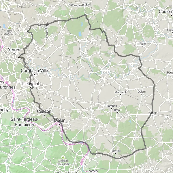
Les Boucles de la Marne
Explore picturesque landscapes along the Marne river
This scenic round-trip route takes you along the beautiful Marne river, offering picturesque landscapes and charming towns along the way. Starting from Épinay-sous-Sénart, you'll pass through Ormesson-sur-Marne, Vallée du Morbras, Pontcarré, Fontenay-Trésigny, and other delightful locations before returning to your starting point. The route covers a distance of 146 kilometers with a total ascent of 517 meters, providing a moderately challenging ride for experienced cyclists. The variety of highlights, including the historic Fontaine-le-Port and charming Melun, make this route an attractive choice for riders seeking both natural beauty and cultural interest.
Experience a refreshing nature escape near Épinay-sous-Sénart
This gravel route offers a refreshing nature escape just outside of Épinay-sous-Sénart. With a distance of 67 kilometers and a total ascent of 328 meters, it provides a moderate level of challenge while immersing you in the natural beauty of the region. Explore peaceful landscapes and enjoy the tranquility of the surrounding forests.
Cycling routes nearby:

Nearby regions: