Gravel Exploration: From Épinay to Mont Griffon
A gravel cycling route starting from Epinay-sous-Senart
Embark on a gravel adventure from Épinay-sous-Sénart to Mont Griffon
Map

Get ready for an exhilarating gravel adventure from Épinay-sous-Sénart to Mont Griffon. Covering a distance of 82 kilometers with a challenging ascent of 506 meters, this route offers a thrilling mix of off-road trails, picturesque towns, and rugged natural landscapes. Highlights include the iconic Table d'Orientation, boasting panoramic views, and the tranquil village of Palaiseau with its charming streets and historic sites. As you pedal through Le Tapis Vert, Montrouge, and Charenton-le-Pont, you'll be captivated by the diverse beauty of the region.
gravel
82 km
506 m
Savage
Route profile
Highlights on the route
0 km
0 km
Start: Épinay-sous-Sénart City centerÉpinay-sous-Sénart: Cycling-friendly town in Ile-de-France
Épinay-sous-Sénart is a town located in the region of Ile-de-France, France. From a cyclist's perspective, it offers a mix of urban and rural routes, with some pleasant country roads and bike paths. There aren't any famous cycling spots or well-known climbs nearby, but it's a suitable area for road and gravel cycling.0 km
0 km
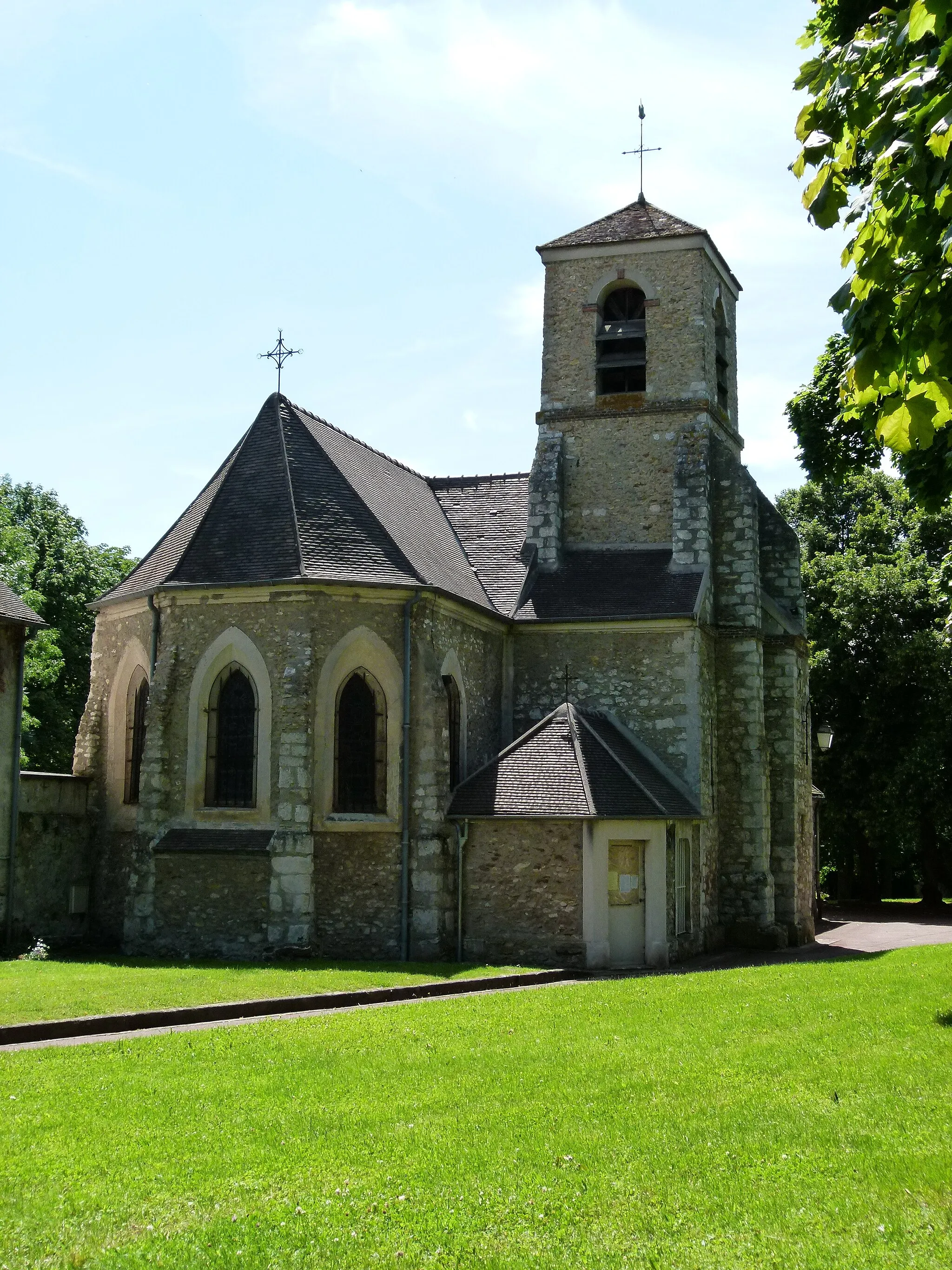
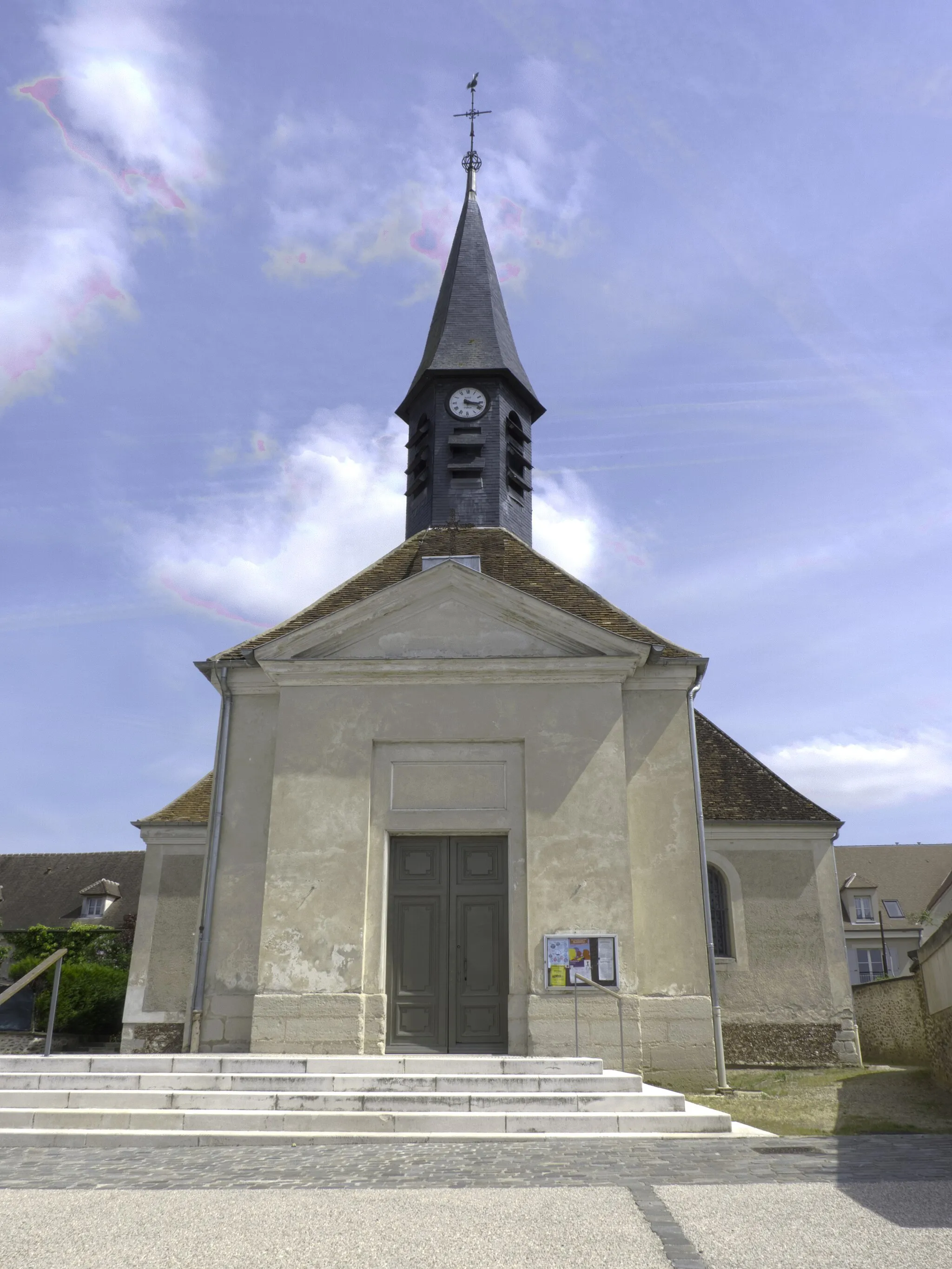
Épinay-sous-SénartTownÉpinay-sous-Sénart serves as the starting point for this epic gravel adventure, featuring a great mix of natural and urban landscapes.
11 km
11 km
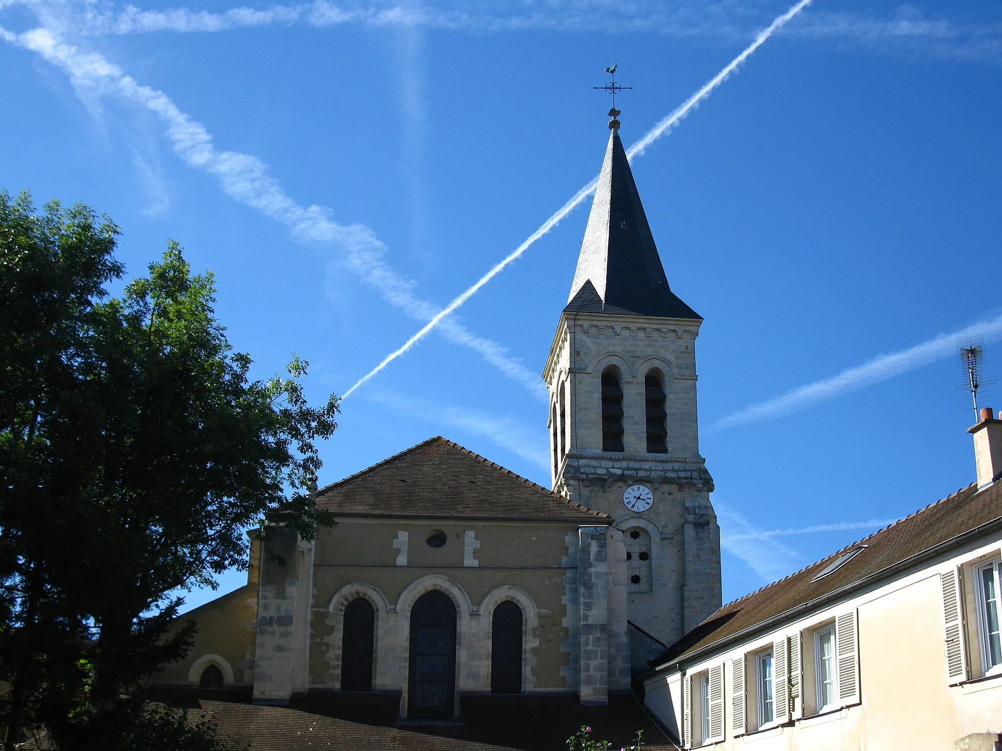
Ris-OrangisTownRis-Orangis, located 11 kilometers into the route, will challenge gravel enthusiasts with its tough off-road sections and varied terrain.
34 km
34 km
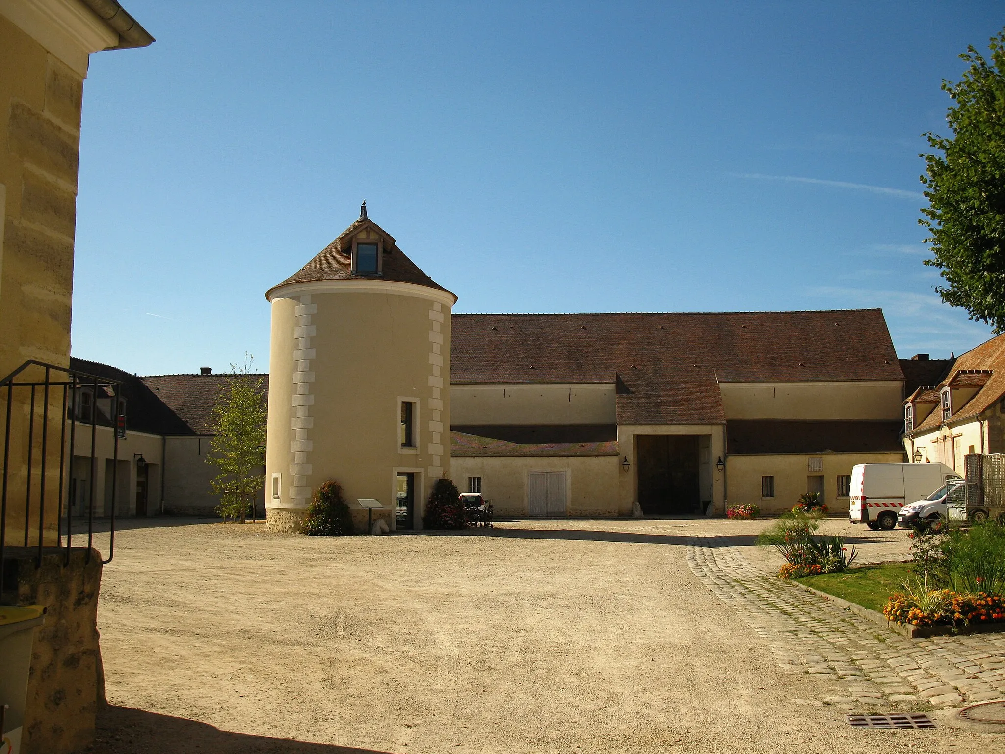
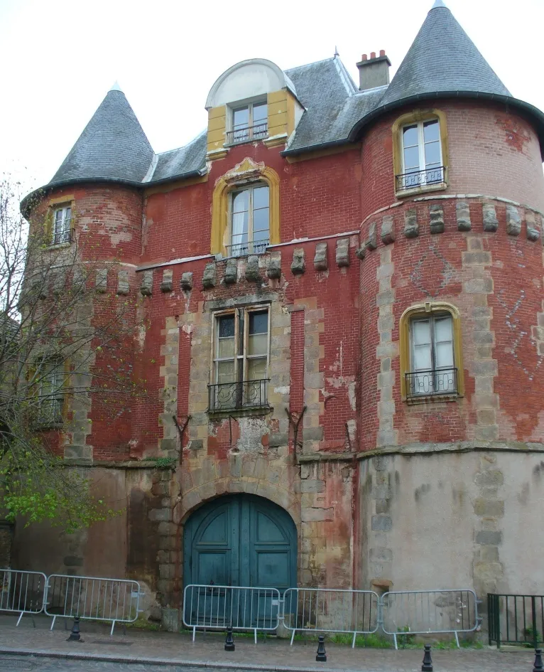
PalaiseauTownPalaiseau, at 34 kilometers, immerses you in a charming village atmosphere and offers opportunities to explore historic landmarks.
45 km
45 km
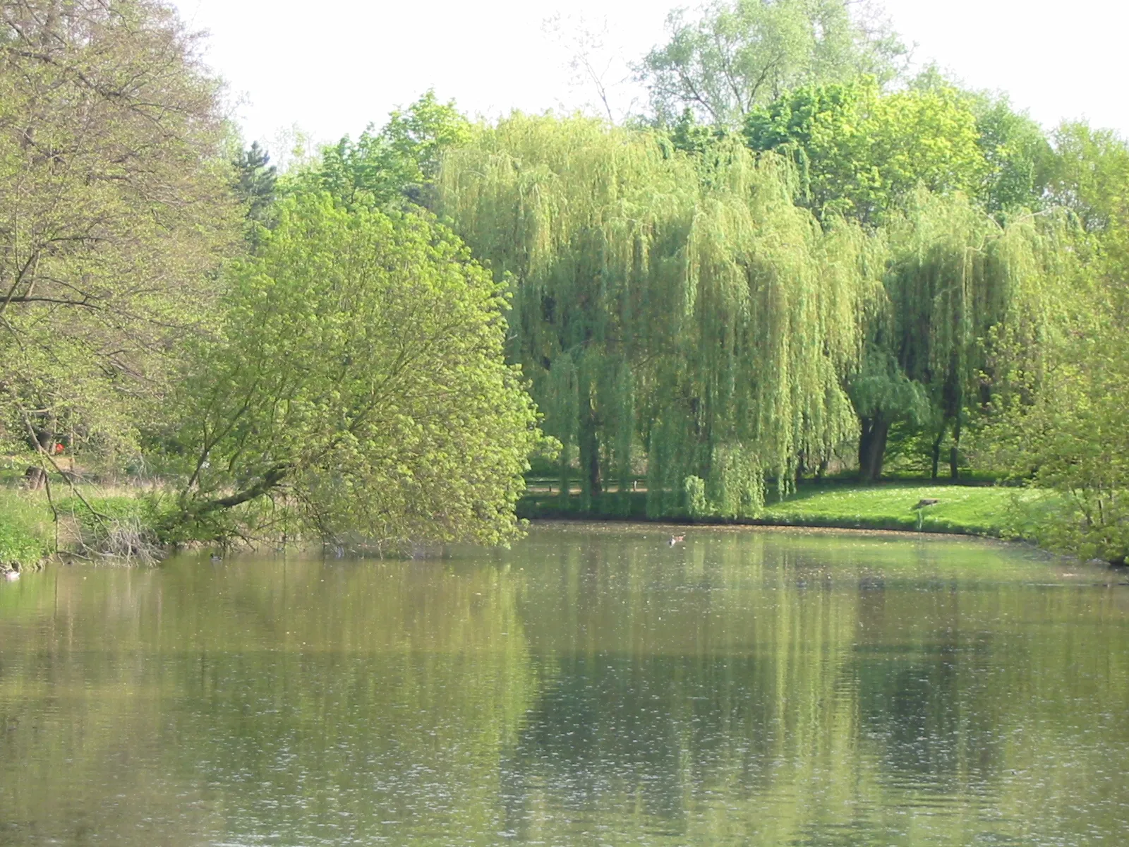
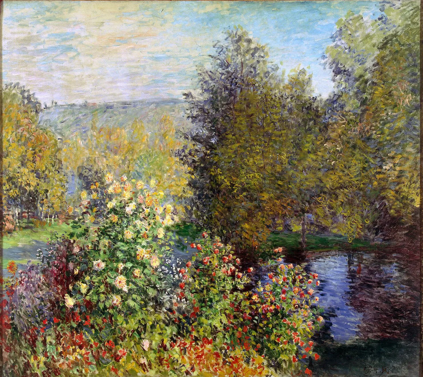
Le Tapis VertViewpointLe Tapis Vert, positioned at the 45-kilometer mark, allows you to experience the serenity of beautiful landscapes and untouched nature.
53 km
53 km
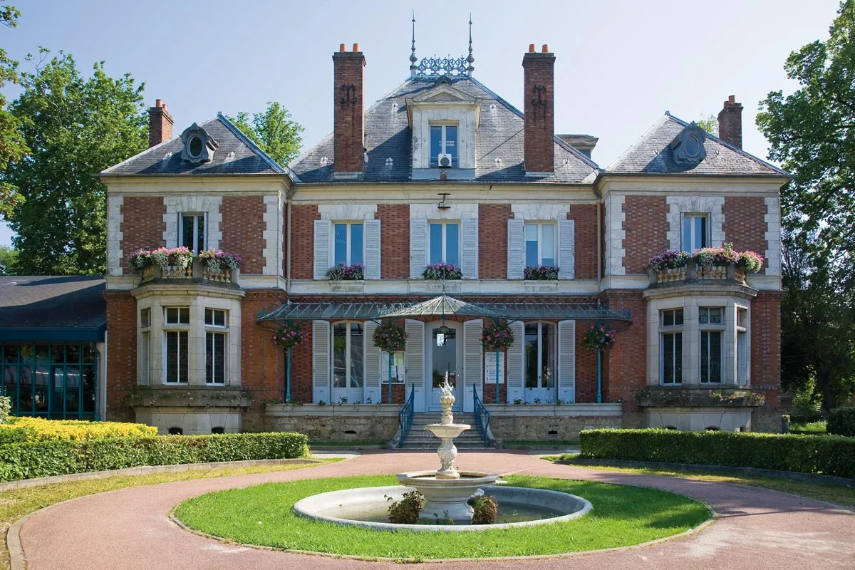
MontrougeTownMontrouge, located 53 kilometers into the route, mesmerizes with its rural charm and scenic countryside.
61 km
61 km
Charenton-le-PontTownCharenton-le-Pont, at 61 kilometers, rewards riders with its riverside trails and a lively atmosphere.
67 km
67 km
Table d'OrientationViewpointThe Table d'Orientation at the 67-kilometer mark offers breathtaking panoramic views of the surrounding countryside.
75 km
75 km
Mont Griffon117 mPeakMont Griffon, located 75 kilometers into the route, is famous among cyclists for its thrilling off-road trails surrounded by lush greenery.
79 km
79 km
BrunoyTownBrunoy, a picturesque town, awaits you at the 79-kilometer mark with its well-preserved historical architecture.
82 km
82 km
Finish: Épinay-sous-Sénart City centerÉpinay-sous-Sénart: Cycling-friendly town in Ile-de-France
Cycling routes from Epinay-sous-Senart:
Cycling routes nearby: