Essonne Valley Expedition
A road cycling route starting from Epinay-sous-Senart
Venture through the enchanting Essonne Valley on this road cycling route
Map
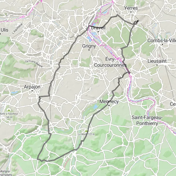
Embark on a captivating journey through the enchanting Essonne Valley on this road cycling route. With a total distance of 82 kilometers and an ascent of 452 meters, this route offers a perfect blend of challenging terrain and breathtaking scenery. Highlights include Corbeil-Essonnes, a historical town with impressive architecture, and Bouray-sur-Juine, known for its stunning views and vibrant village life. The route also takes you through Le Mont, Ballancourt-sur-Essonne, Brétigny-sur-Orge, and Montgeron, each offering unique charms and memorable experiences.
road
82 km
452 m
Tough
Route profile
Highlights on the route
0 km
0 km
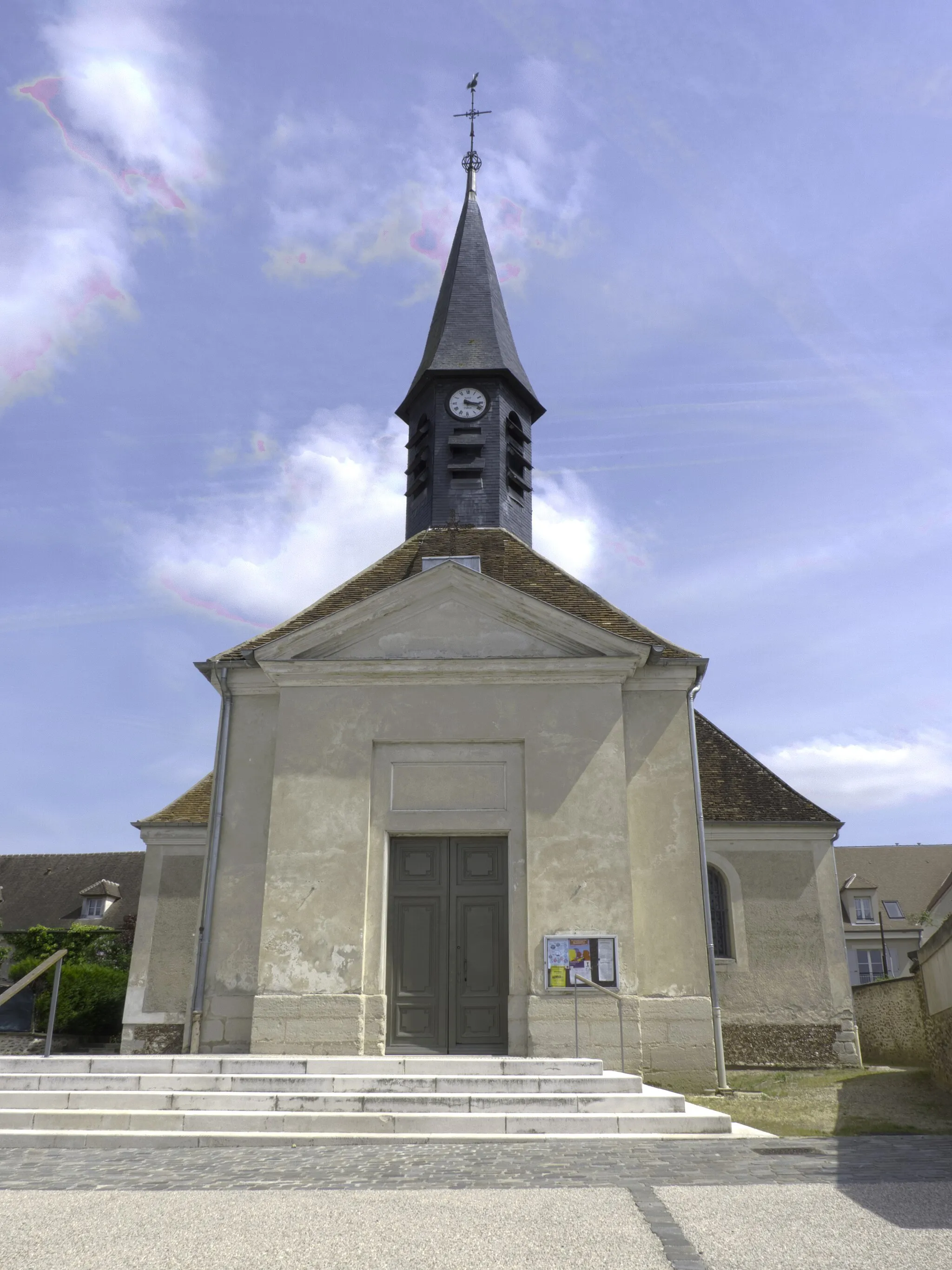
Start: Brunoy City centerÉpinay-sous-Sénart: Cycling-friendly town in Ile-de-France
Épinay-sous-Sénart is a town located in the region of Ile-de-France, France. From a cyclist's perspective, it offers a mix of urban and rural routes, with some pleasant country roads and bike paths. There aren't any famous cycling spots or well-known climbs nearby, but it's a suitable area for road and gravel cycling.12 km
12 km
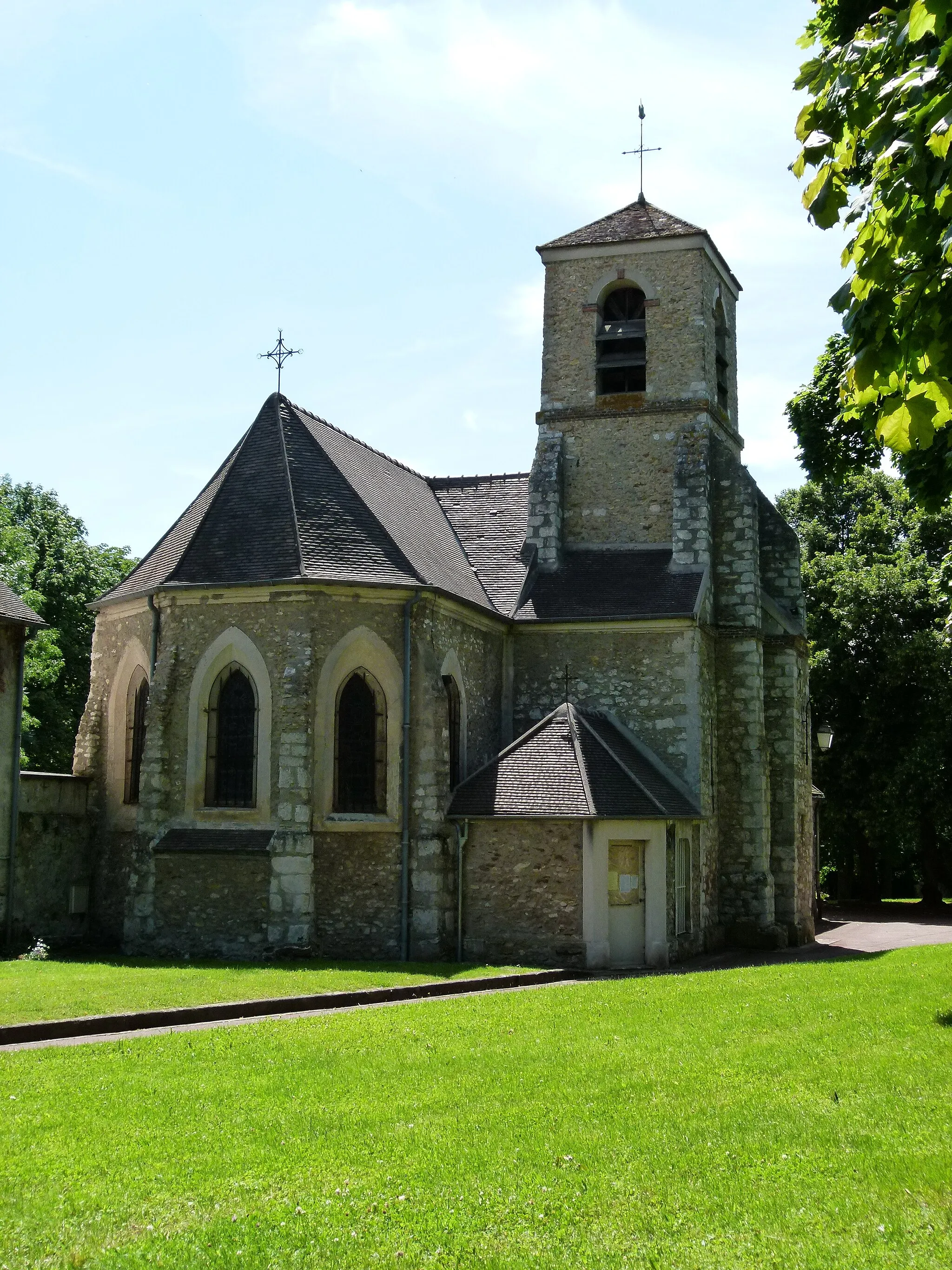
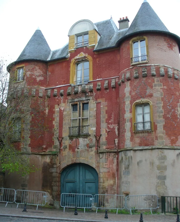
Corbeil-EssonnesTownCorbeil-Essonnes, which you'll encounter 12 kilometers into the route, features stunning historical landmarks and winding streets.
26 km
26 km
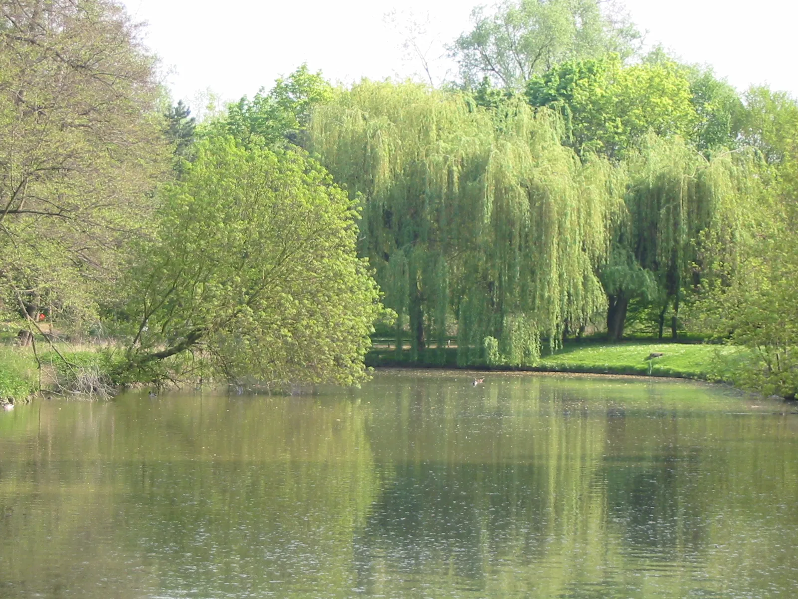
Ballancourt-sur-EssonneVillageBallancourt-sur-Essonne, at 26 kilometers, offers dramatic riverside views and picturesque landscapes.
27 km
27 km
Le Mont122 mPeakLe Mont, located 27 kilometers into the route, provides panoramic vistas over the surrounding countryside.
44 km
44 km
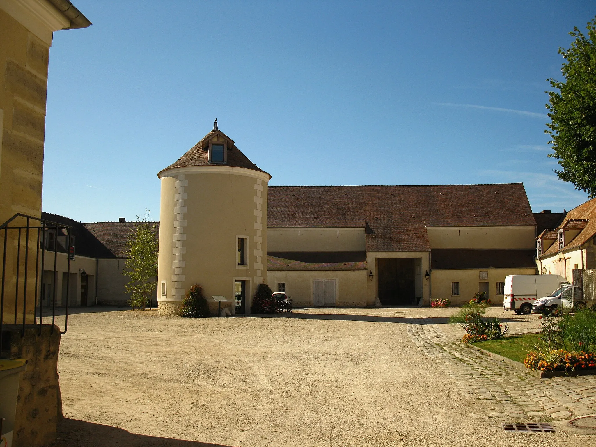
Bouray-sur-JuineVillageBouray-sur-Juine, at the 44-kilometer mark, tempts cyclists with its charming shops, traditional architecture, and scenic river views.
59 km
59 km
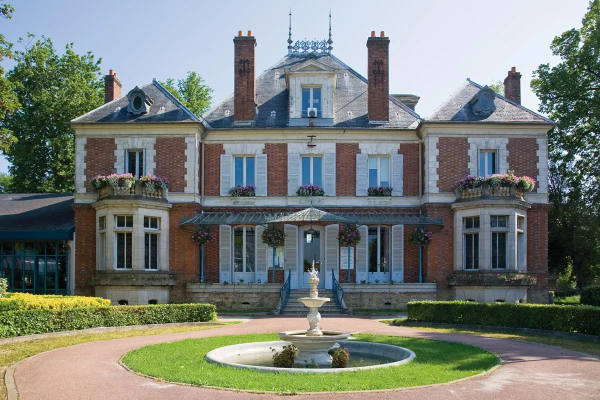
Brétigny-sur-OrgeTownBrétigny-sur-Orge, 59 kilometers into the route, is a bustling town with a rich history and a lively market square.
78 km
78 km
MontgeronTownMontgeron, located 78 kilometers into the route, is home to historic buildings and picturesque streets, perfect for a leisurely wander.
82 km
82 km
Finish: Brunoy City centerÉpinay-sous-Sénart: Cycling-friendly town in Ile-de-France
Cycling routes from Epinay-sous-Senart:
Cycling routes nearby: