Cycling Paradise in Languedoc-Roussillon
Cycling routes from Maureilhan
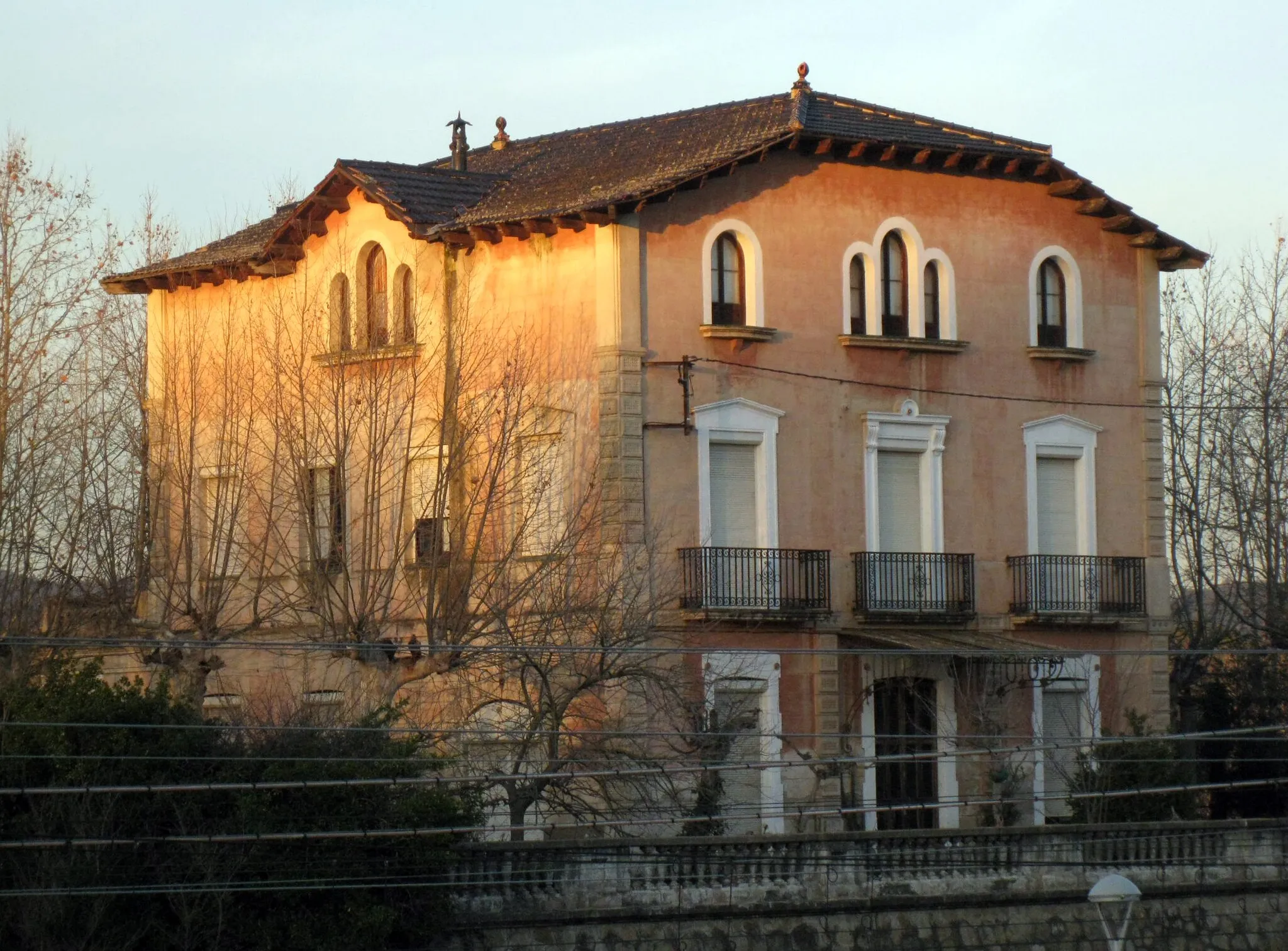
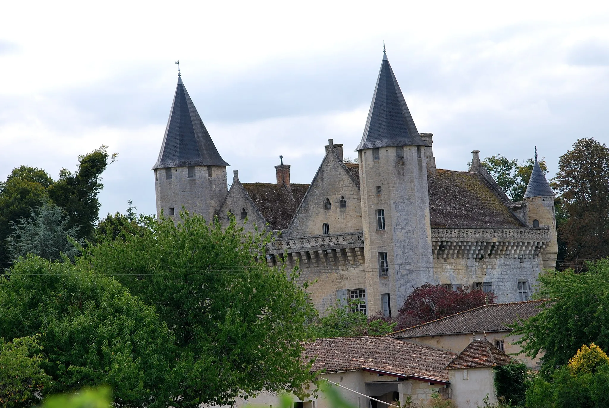
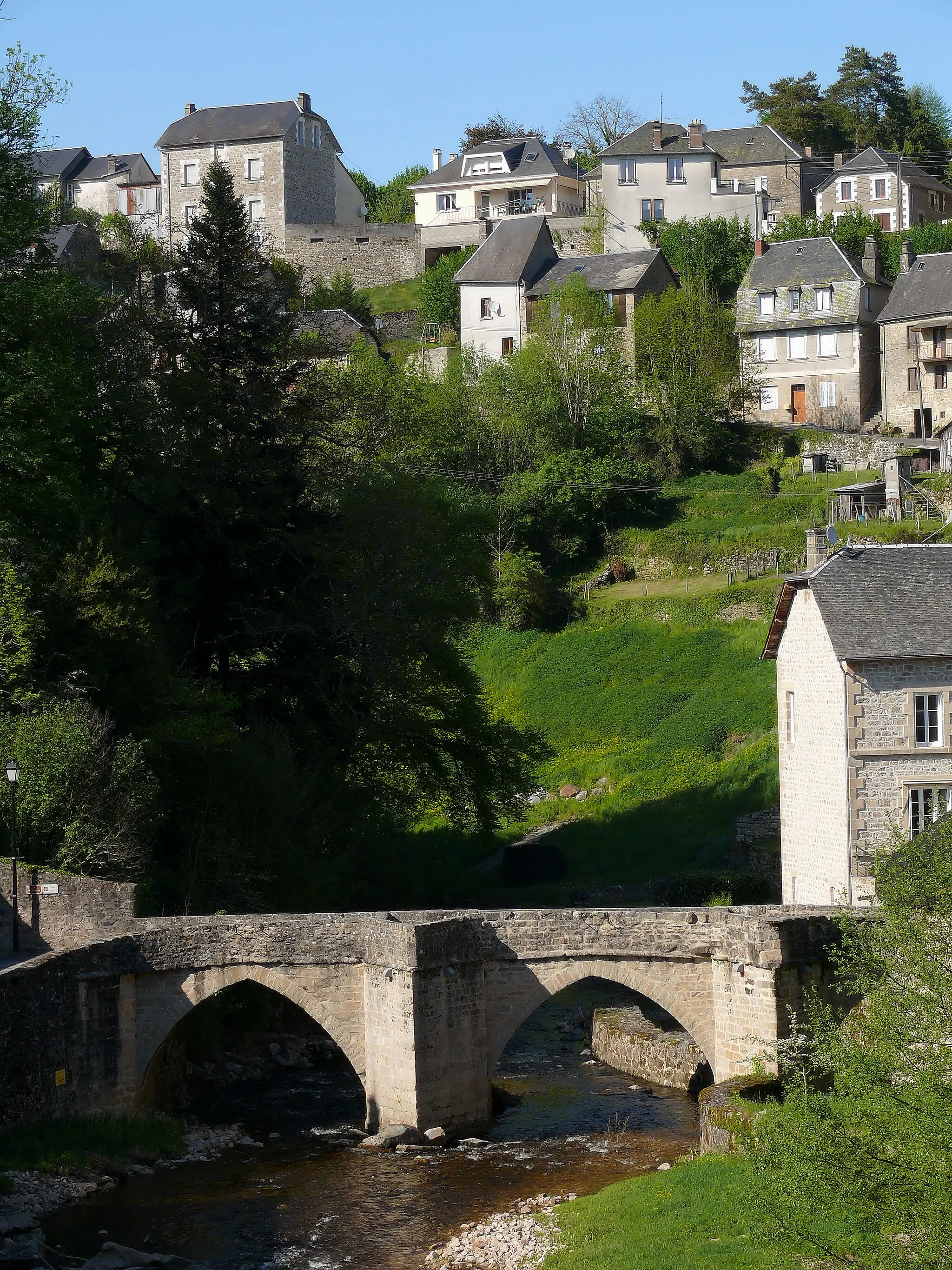
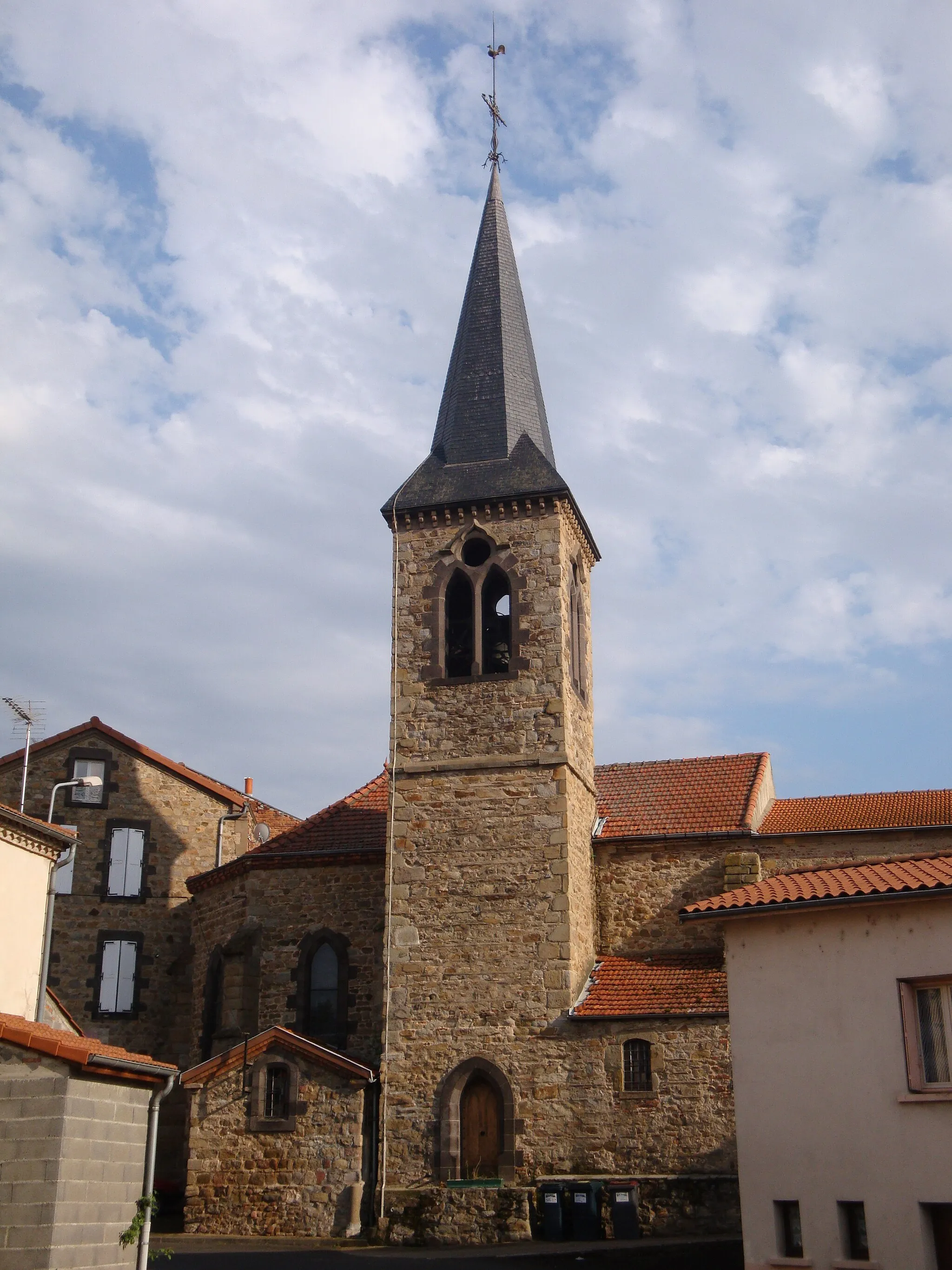
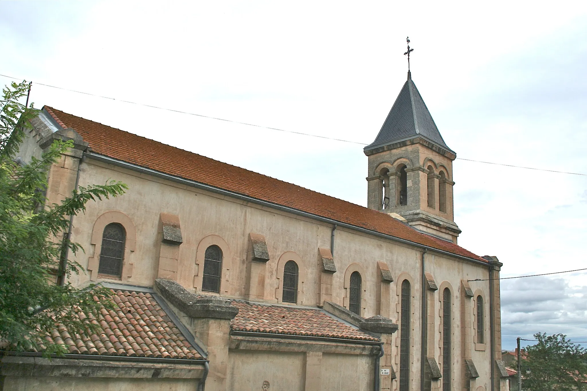
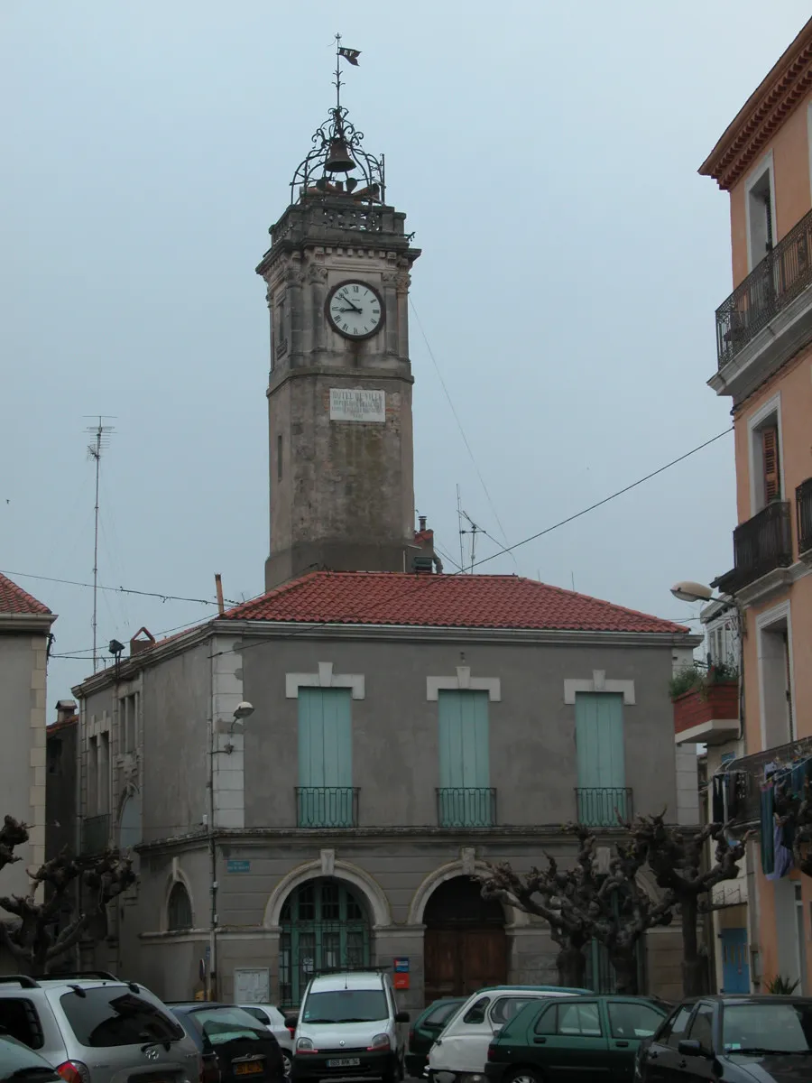
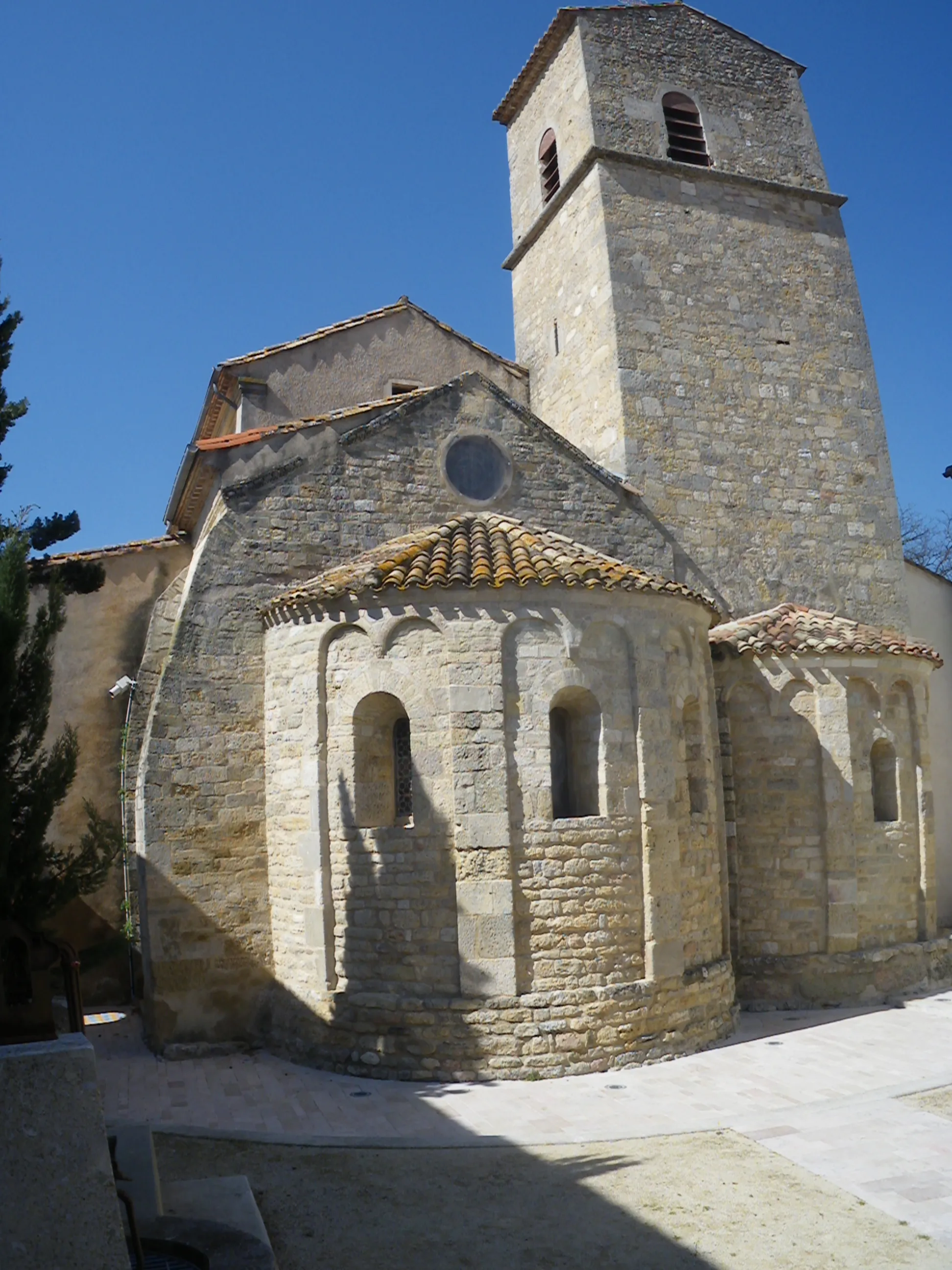
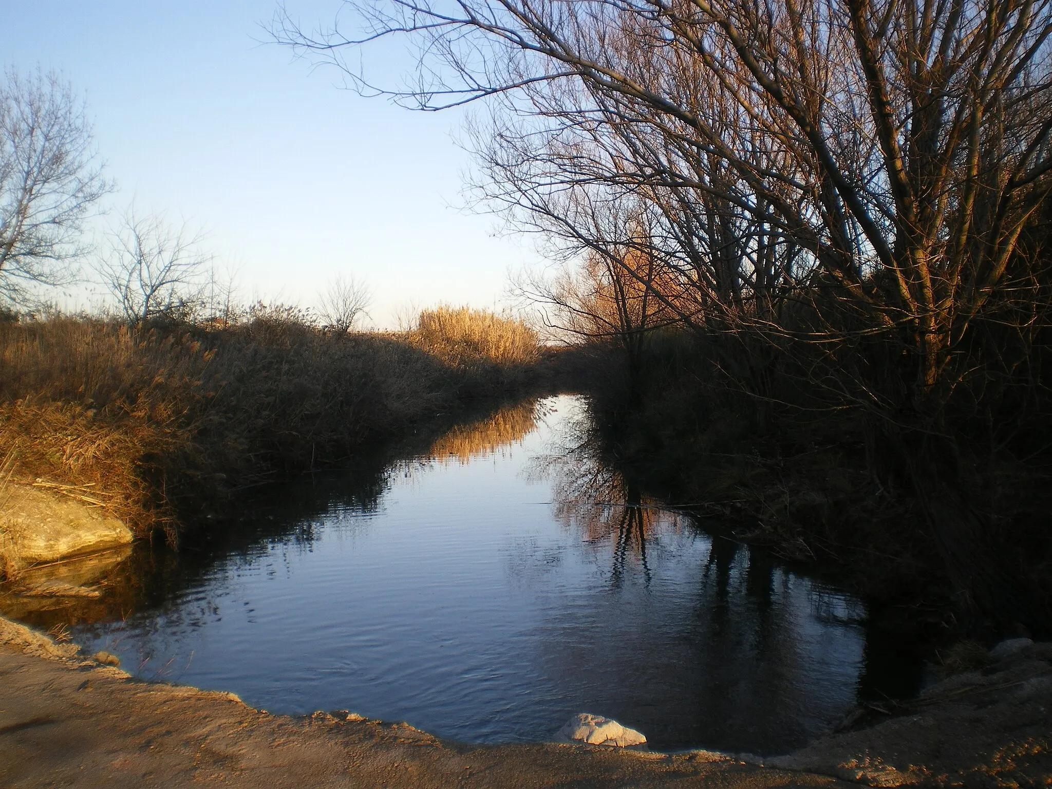
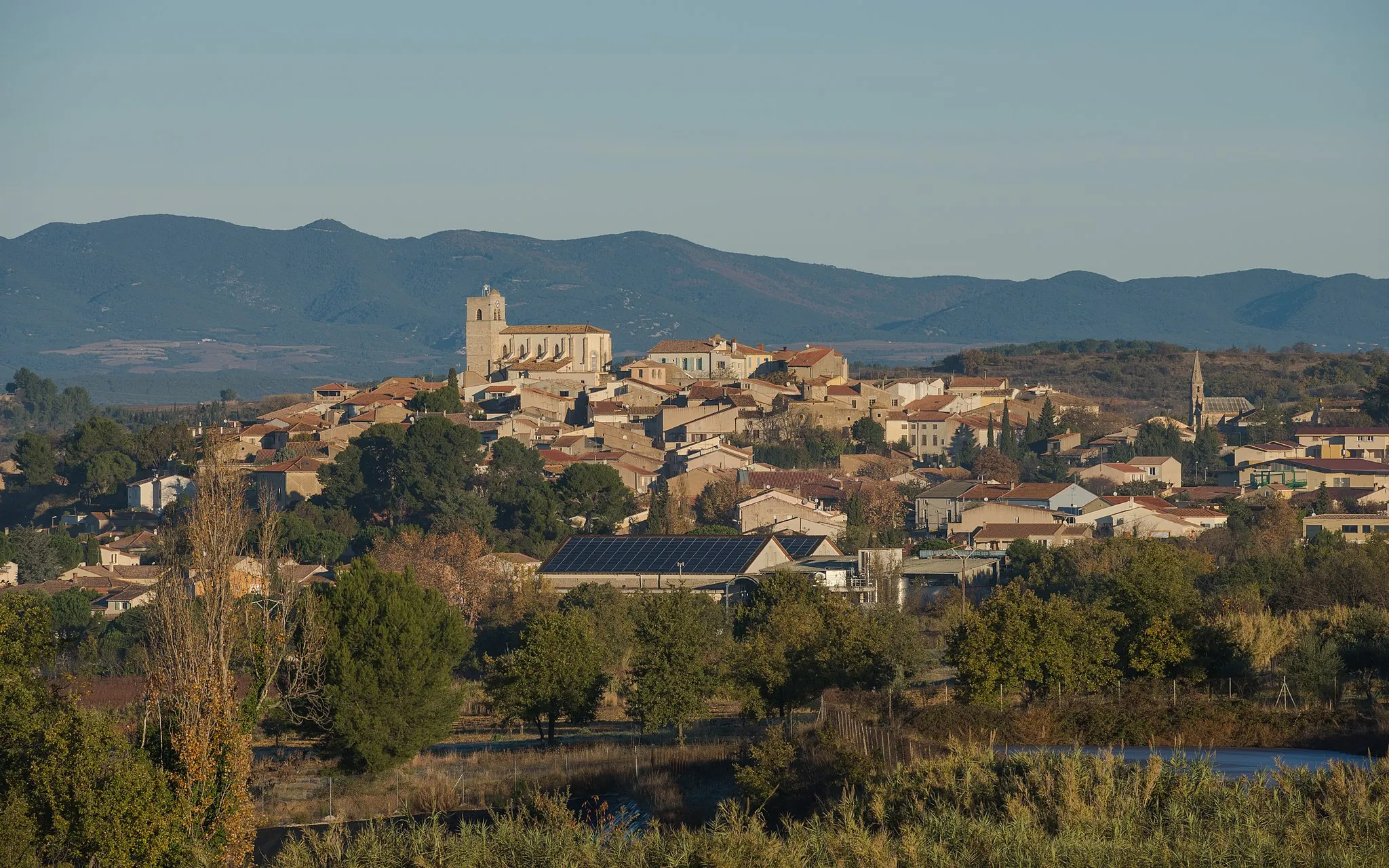
Maureilhan is a small locality in the Languedoc-Roussillon region of France. Its rural surroundings and abundance of scenic roads make it a great destination for road and gravel cyclists. The area offers a mix of flat and hilly terrain, providing cycling enthusiasts with plenty of variety. A notable cycling spot nearby is the famous climb up Mont Ventoux, known for its challenging route and stunning views. With its picturesque landscapes and cycling-friendly environment, Maureilhan is a great choice for both leisurely rides and more intense training sessions.
A scenic gravel ride exploring charming villages near Maureilhan
This scenic gravel route near Maureilhan covers a distance of 64 kilometers with an ascent of 773 meters. Suitable for gravel enthusiasts, it takes cyclists through picturesque landscapes and offers the chance to discover charming villages along the way. From the stunning Pech du Thou to the peaceful Montmajou, this route showcases the best of the Languedoc-Roussillon region.
Uncover the rich cultural history and stunning landscapes near Maureilhan on this road cycling route
This road cycling route near Maureilhan takes you on a journey through the cultural gems of the region. From historic towns to scenic landscapes, this route has it all. With a moderate difficulty level, this route is suitable for experienced amateur cyclists. The epicness rating of 4 reflects the diverse highlights and landscapes that you'll encounter along the way.
Embark on a scenic road adventure to Gouffre de l'Œil Doux and explore the stunning landscapes along the way
This scenic road adventure from Maureilhan takes you through the picturesque landscapes of Languedoc-Roussillon. The route covers diverse highlights, from charming villages to natural wonders. With a moderate difficulty level, it is suitable for cyclists with a good fitness level. Rated 4 in terms of epicness, this route promises excitement and memorable experiences.
A challenging road cycling tour with stunning landscapes near Maureilhan
Explore stunning landscapes and picturesque villages with this challenging road cycling route near Maureilhan. Covering 105 kilometers and boasting an ascent of 1744 meters, it is suitable for experienced cyclists looking to push their limits. From the breathtaking viewpoint at Pech du Thou to the scenic Col de Rodomouls, this route offers a perfect blend of natural beauty and cultural gems.
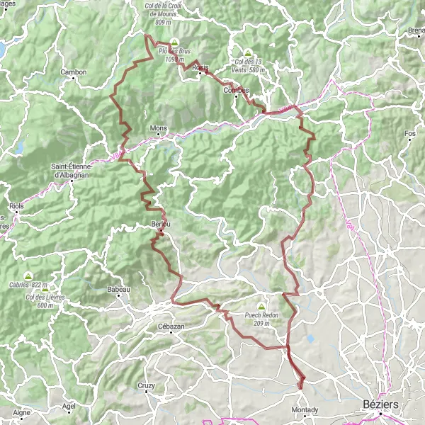
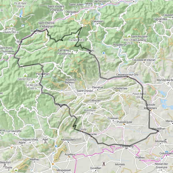
An epic gravel adventure through breathtaking landscapes near Maureilhan
Embark on an epic gravel adventure near Maureilhan with this 129-kilometer route boasting an ascent of 3,156 meters. Only suitable for experienced and well-trained cyclists, it covers some of the most breathtaking landscapes in the Languedoc-Roussillon region. From the famous Sommet de l'Espinouse to the picturesque Puech de Mus, this route guarantees unforgettable views and challenging climbs.
Cycle through picturesque landscapes and enjoy stunning views from Pech du Thou
This route offers a scenic loop that takes you through the beautiful countryside near Maureilhan. The highlight of the route is the climb up to Pech du Thou, where you'll be rewarded with breathtaking panoramic views. The overall difficulty of this route is moderate, making it suitable for well-trained amateur cyclists. The epicness of the route is rated at 4, as it offers enjoyable riding with stunning scenery.
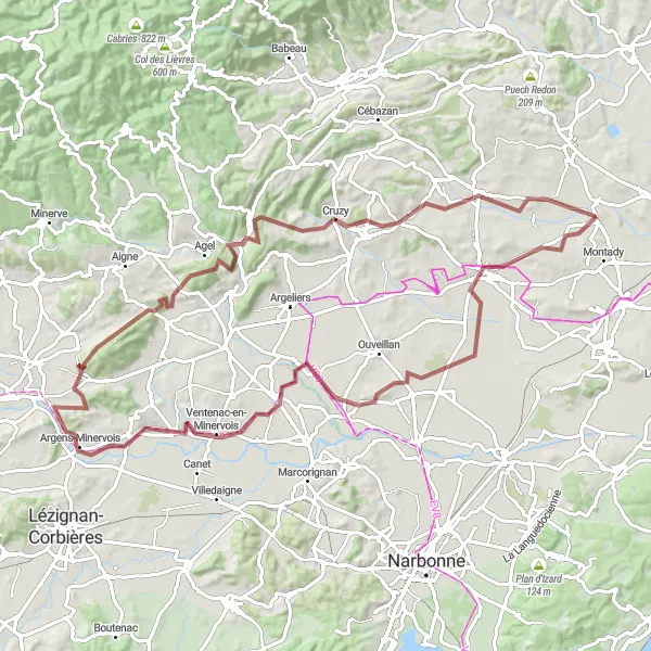
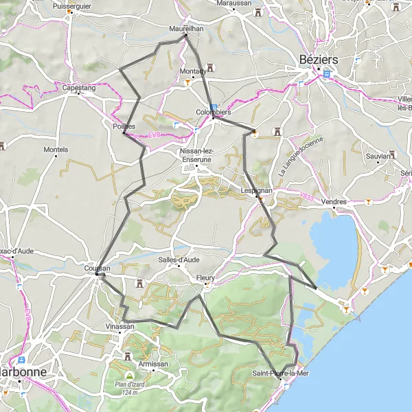
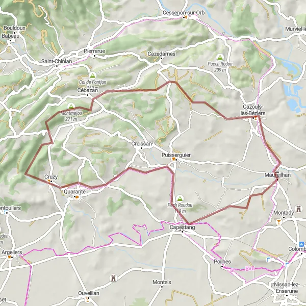
Embark on an exciting gravel adventure to Sallèles-d'Aude and discover its hidden gems
This gravel route takes you on an exciting adventure from Maureilhan to the picturesque town of Sallèles-d'Aude. Along the way, you'll encounter diverse terrains and stunning landscapes. The route is rated moderately difficult, suitable for experienced cyclists. With an epicness rating of 4, this route promises a thrilling and memorable cycling experience.
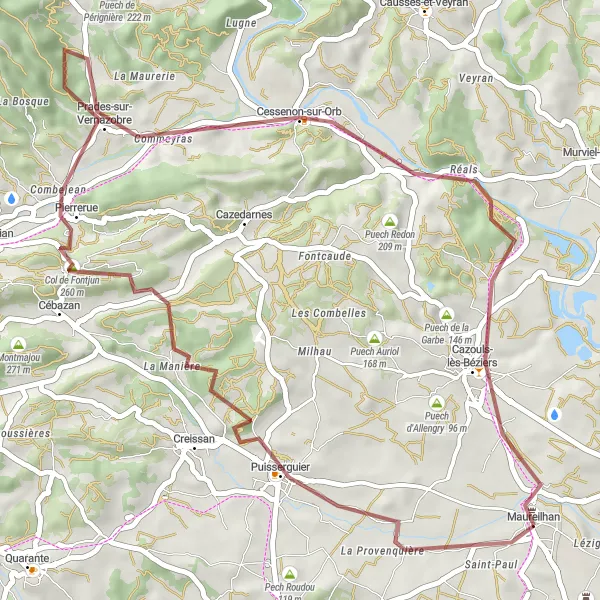
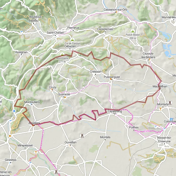
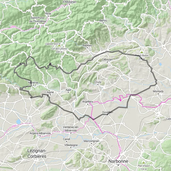
Discover the beauty of the lush countryside near Maureilhan on these scenic gravel routes
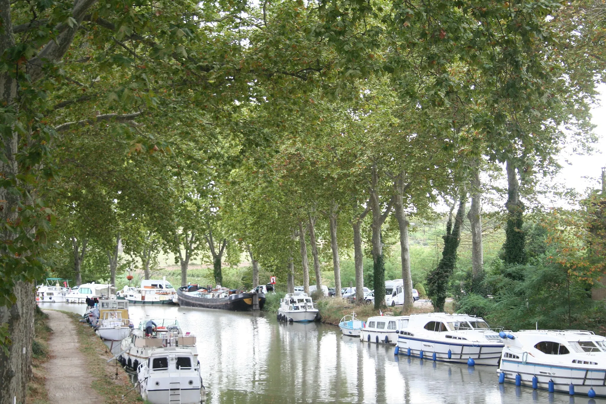
These scenic gravel routes near Maureilhan offer the perfect opportunity to explore the picturesque countryside of Languedoc-Roussillon. With moderate difficulty and breathtaking views, these routes are suitable for cyclists of all levels. Cycle through charming villages, enjoy serene landscapes, and journey along peaceful gravel paths. The scenic highlights include Puisserguier, La Durante, Cébazan, Col de Fontjun, Bentajou, Cessenon-sur-Orb, Puech de Mus, and Maureilhan as the starting point.
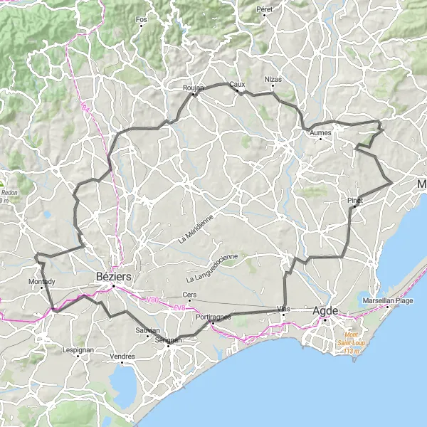
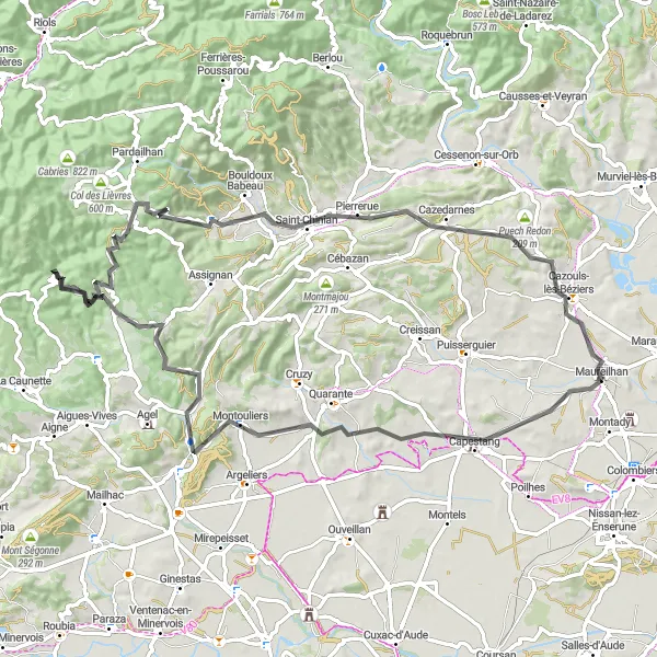
A challenging road cycling tour near Maureilhan
This challenging road cycling route near Maureilhan covers a distance of 114 kilometers with an ascent of 1637 meters. It is suitable for well-trained amateur cyclists looking for a demanding ride. From the magnificent Pech du Thou to the iconic Gorges du Brian, this route guarantees unforgettable cycling experiences.
Gravel route from Maureilhan
A thrilling gravel adventure near Maureilhan
This gravel route near Maureilhan offers a thrilling adventure through scenic countryside. With a distance of 49 kilometers and an ascent of 446 meters, it is suitable for experienced gravel riders. From the stunning viewpoint at Pech du Thou to the charming village of Maureilhan, this route provides a variety of highlights along the way.
Cycling routes nearby:


Nearby regions: