Gravel route from Maureilhan
A gravel cycling route starting from Maureilhan
An epic gravel adventure through breathtaking landscapes near Maureilhan
Map
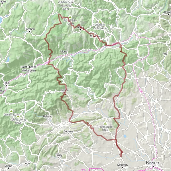
Embark on an epic gravel adventure near Maureilhan with this 129-kilometer route boasting an ascent of 3,156 meters. Only suitable for experienced and well-trained cyclists, it covers some of the most breathtaking landscapes in the Languedoc-Roussillon region. From the famous Sommet de l'Espinouse to the picturesque Puech de Mus, this route guarantees unforgettable views and challenging climbs.
gravel
129 km
3156 m
Savage
Route profile
Highlights on the route
0 km
0 km
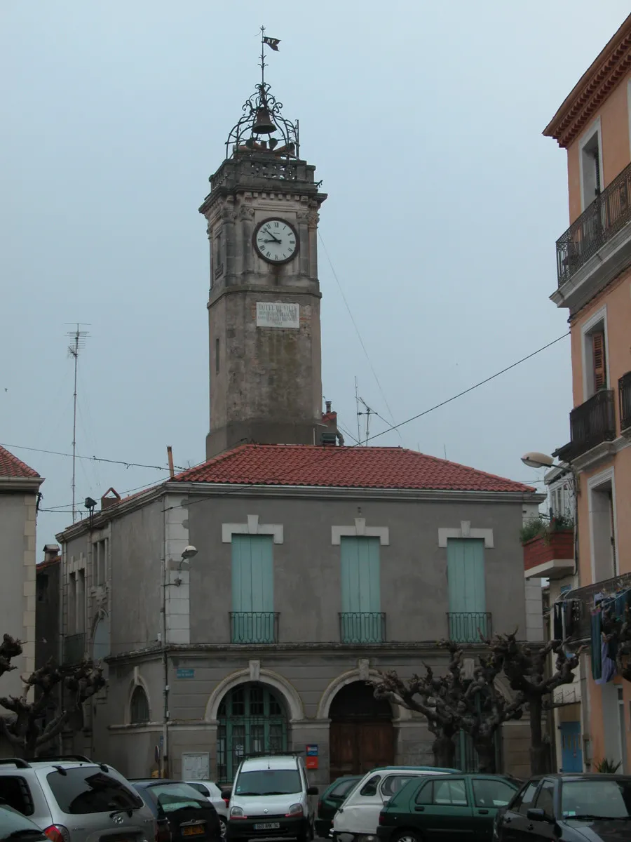
Start: Maureilhan Village centerMaureilhan: Cycling Paradise in Languedoc-Roussillon
Maureilhan is a small locality in the Languedoc-Roussillon region of France. Its rural surroundings and abundance of scenic roads make it a great destination for road and gravel cyclists. The area offers a mix of flat and hilly terrain, providing cycling enthusiasts with plenty of variety. A notable cycling spot nearby is the famous climb up Mont Ventoux, known for its challenging route and stunning views. With its picturesque landscapes and cycling-friendly environment, Maureilhan is a great choice for both leisurely rides and more intense training sessions.5 km
5 km
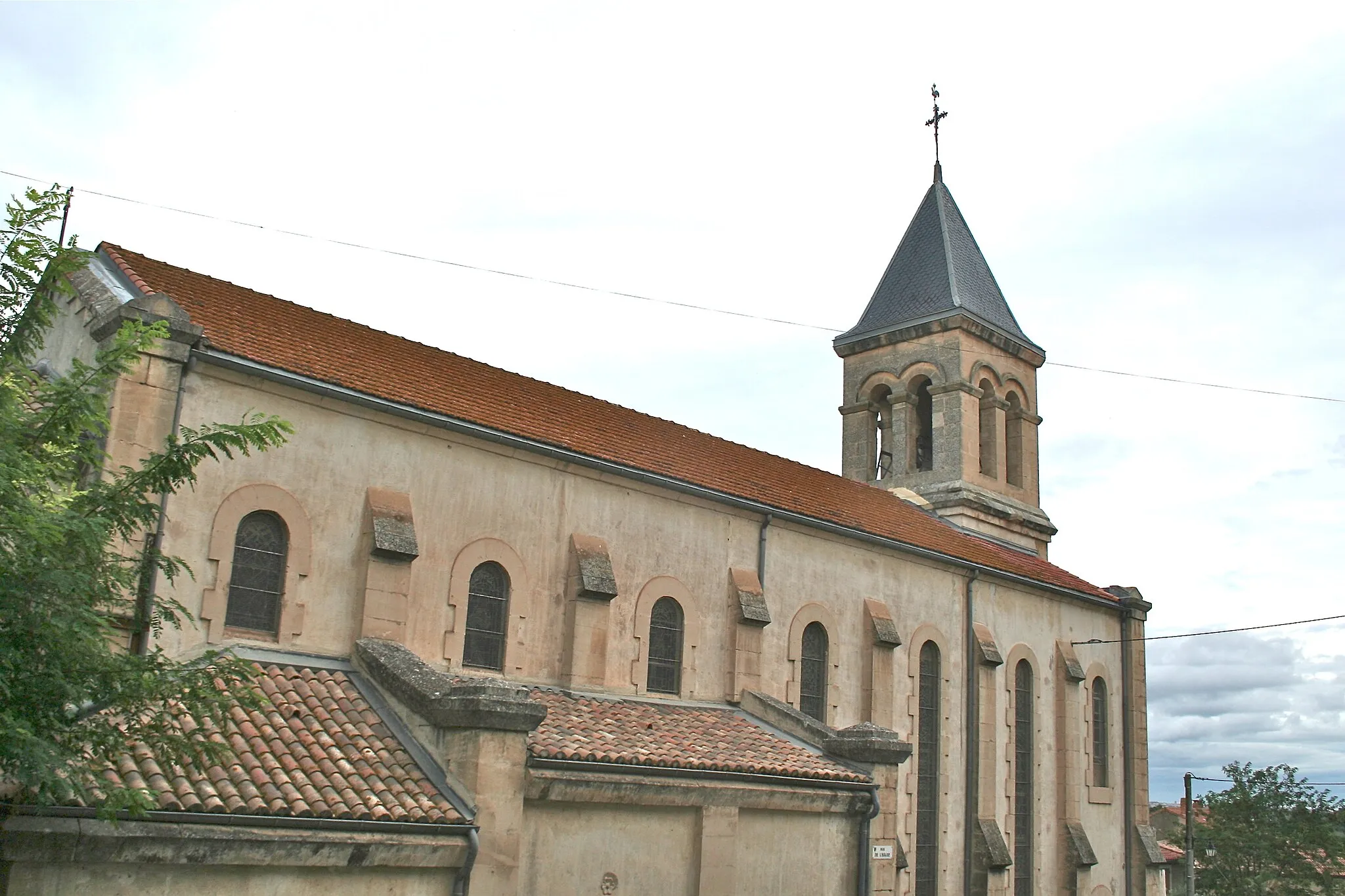
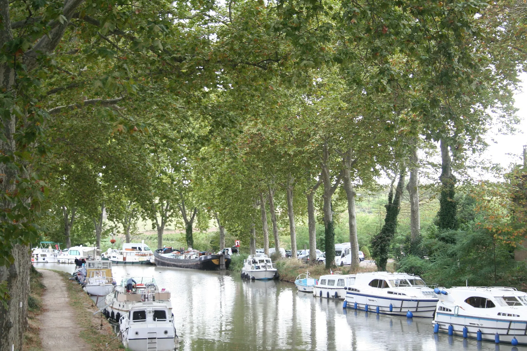
Cazouls-lès-BéziersVillageCazouls-lès-Béziers, situated early in the route, is a cycling-friendly town with fantastic local amenities and serves as a great starting point for the epic adventure ahead.
10 km
10 km
Table d'orientationViewpointTable d'orientation, located at the 10-kilometer mark, offers panoramic views of the picturesque surroundings, providing cyclists with a perfect opportunity to savor the stunning landscapes.
17 km
17 km
Bentajou176 mPeakBentajou, situated 17 kilometers into the route, is surrounded by dense forests and rolling hills, creating a serene and peaceful atmosphere for cyclists.
31 km
31 km
BerlouVillageBerlou, located 31 kilometers into the route, is a quaint village known for its abundant vineyards and authentic French charm, making it an ideal spot for a refreshing break.
45 km
45 km
Montagne de Sainte-Croix507 mPeakMontagne de Sainte-Croix, 45 kilometers into the route, offers cyclists a challenging climb and rewards them with stunning views of the surrounding mountains and valleys.
46 km
46 km
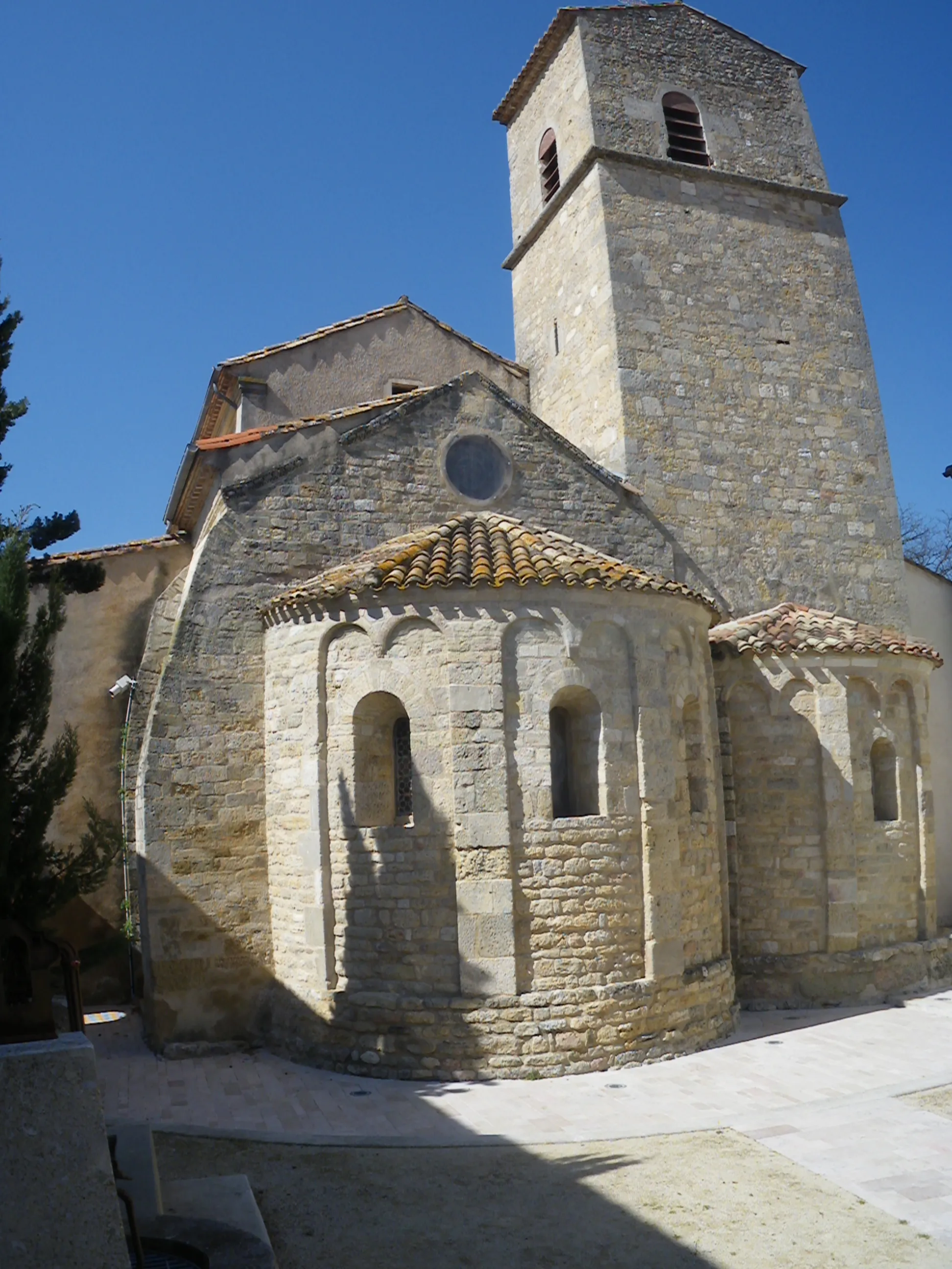
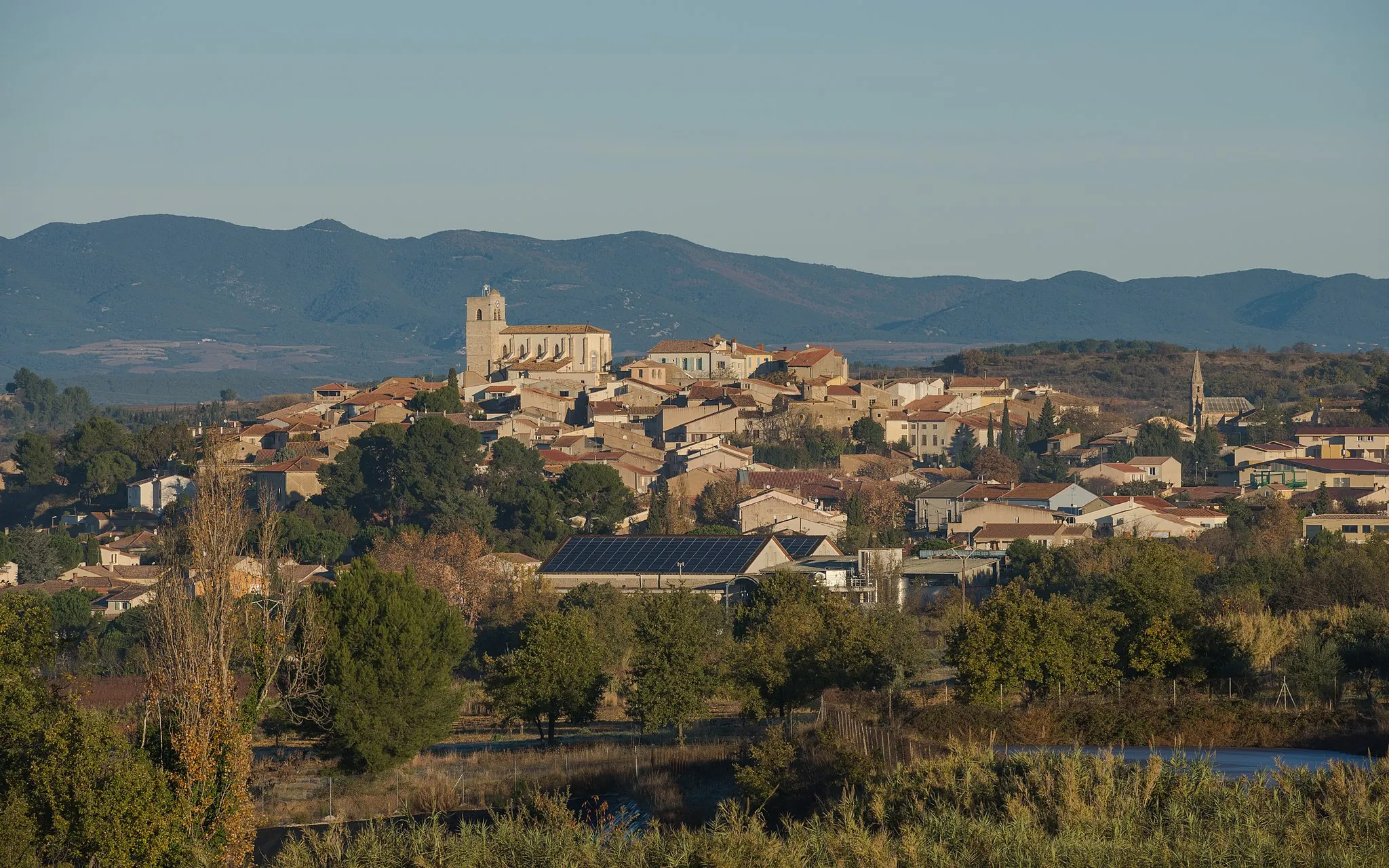
OlarguesVillageOlargues, situated at the 46-kilometer mark, is a medieval village with cobbled streets, ancient architecture, and a beautiful river flowing through its center.
64 km
64 km
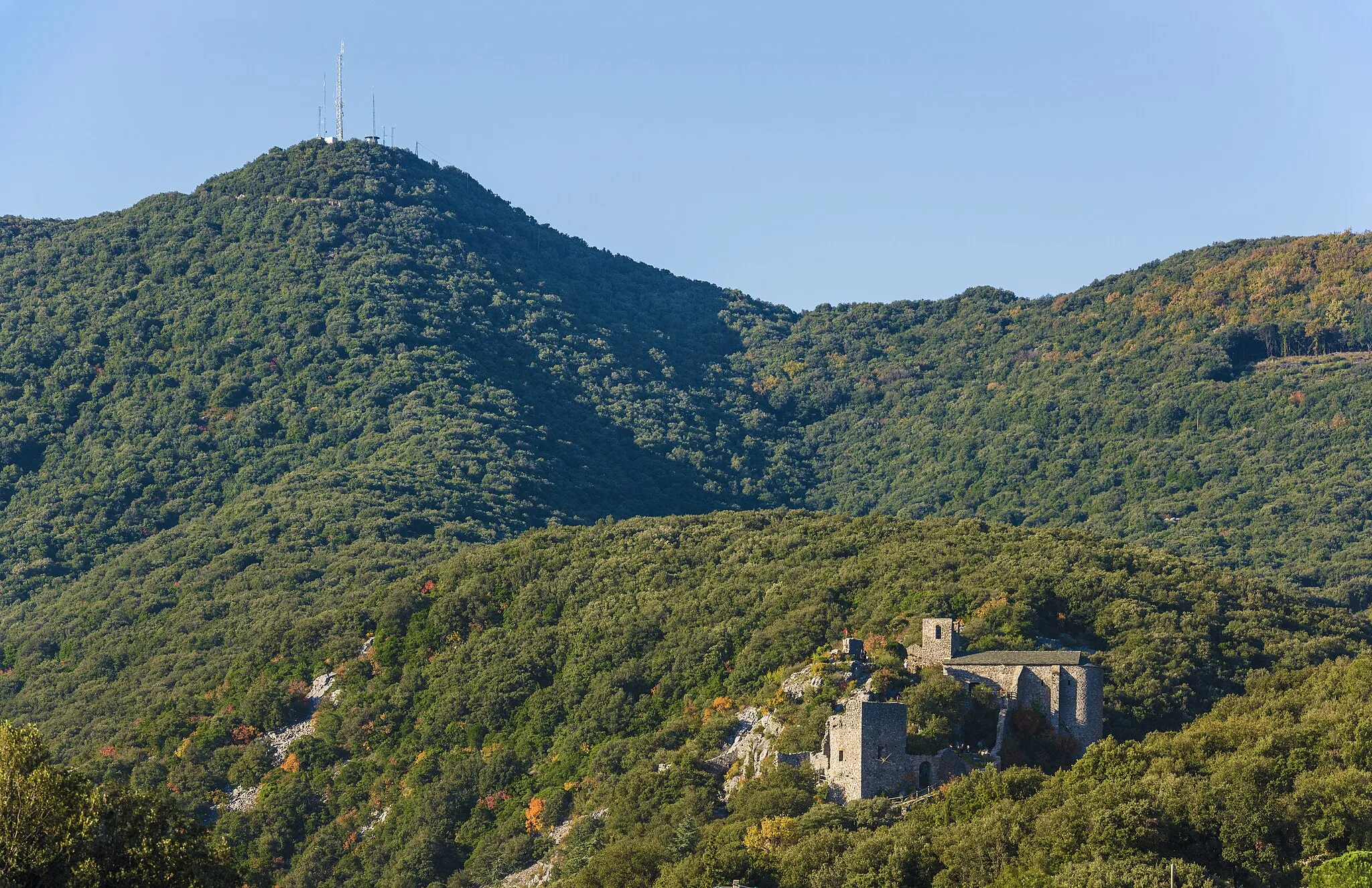
Sommet de l'Espinouse1123 mPeakSommet de l'Espinouse, at the 64-kilometer mark, is a famous cycling spot with its iconic mountain peak offering astounding panoramic views and a true sense of accomplishment.
73 km
73 km
La Plane1029 mPeakLa Plane, located at 73 kilometers into the route, is a peaceful hamlet boasting traditional stone houses and a tranquil atmosphere, perfect for recharging and enjoying the breathtaking scenery.
86 km
86 km
Lamalou-les-BainsVillageLamalou-les-Bains, at 86 kilometers into the route, is a spa town famous for its healing hot springs and stunning Belle Époque architecture.
101 km
101 km
CabrerollesVillageCabrerolles, situated at 101 kilometers into the route, is a picturesque village surrounded by vineyards, olive groves, and breathtaking natural beauty.
103 km
103 km
Mont Cèze279 mPeakMont Cèze, located at 103 kilometers into the route, offers cyclists a challenging climb and panoramic views of the countryside, showcasing the region's diverse landscapes.
119 km
119 km
Puech de Mus123 mPeakPuech de Mus, near the end of the route, rewards cyclists with magnificent views over the valley and a sense of accomplishment after completing this epic gravel adventure.
129 km
129 km
Finish: Maureilhan Village centerMaureilhan: Cycling Paradise in Languedoc-Roussillon
Cycling routes from Maureilhan:
Scenic Loop between Maureilhan and Pech du Thou Gravel Adventure to Sallèles-d'Aude Explore the Scenic Gravel Routes near Maureilhan Covering Cultural Gems near Maureilhan on Road Scenic Road Adventure to Gouffre de l'Œil Doux Gravel route from Maureilhan Road route from Maureilhan Road route from Maureilhan Gravel route from Maureilhan Gravel route from Maureilhan
Cycling routes nearby: