Road route from Maureilhan
A road cycling route starting from Maureilhan
A challenging road cycling tour with stunning landscapes near Maureilhan
Map
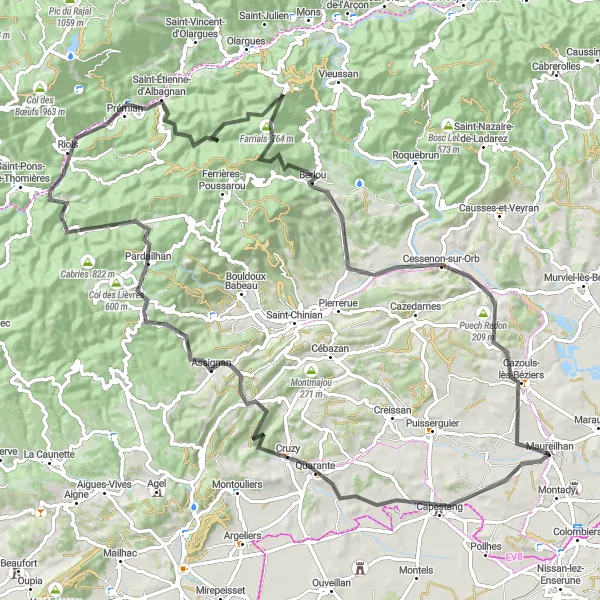
Explore stunning landscapes and picturesque villages with this challenging road cycling route near Maureilhan. Covering 105 kilometers and boasting an ascent of 1744 meters, it is suitable for experienced cyclists looking to push their limits. From the breathtaking viewpoint at Pech du Thou to the scenic Col de Rodomouls, this route offers a perfect blend of natural beauty and cultural gems.
road
105 km
1744 m
Savage
Route profile
Highlights on the route
0 km
0 km
Start: Maureilhan Village centerMaureilhan: Cycling Paradise in Languedoc-Roussillon
Maureilhan is a small locality in the Languedoc-Roussillon region of France. Its rural surroundings and abundance of scenic roads make it a great destination for road and gravel cyclists. The area offers a mix of flat and hilly terrain, providing cycling enthusiasts with plenty of variety. A notable cycling spot nearby is the famous climb up Mont Ventoux, known for its challenging route and stunning views. With its picturesque landscapes and cycling-friendly environment, Maureilhan is a great choice for both leisurely rides and more intense training sessions.6 km
6 km
Pech du Thou113 mPeakPech du Thou, just 6 kilometers into the route, rewards cyclists with magnificent panoramic views of the Mediterranean Sea and the vineyards of Languedoc.
6 km
6 km
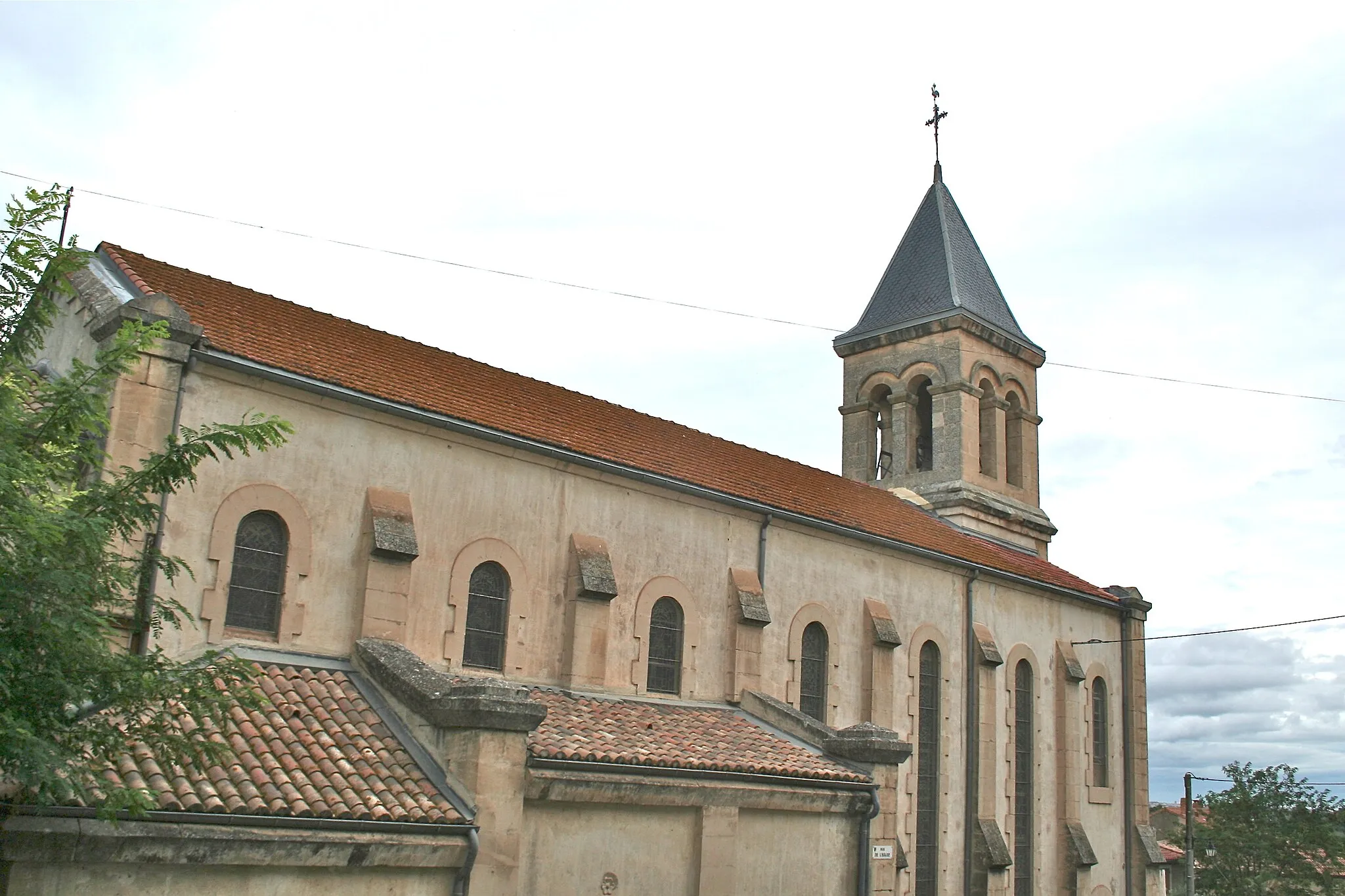
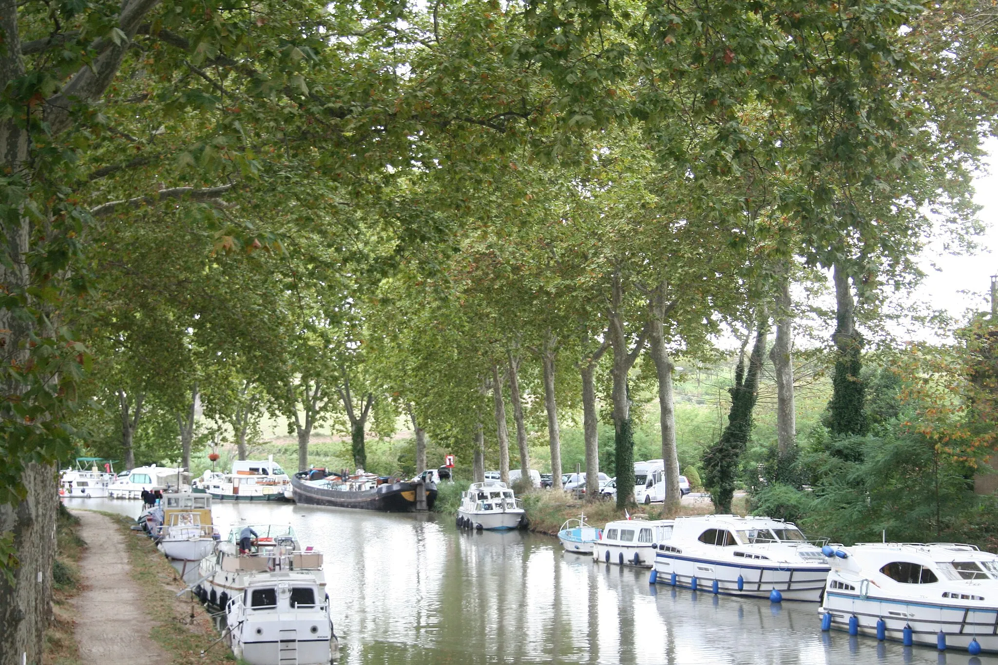
CapestangVillageCapestang, located 6 kilometers into the route, is a charming village famous for its ancient stone bridge and medieval architecture.
18 km
18 km
Pic de Roquefourcade193 mPeakPic de Roquefourcade, 18 kilometers into the route, offers cyclists a challenging climb and stunning views over the surrounding countryside.
27 km
27 km
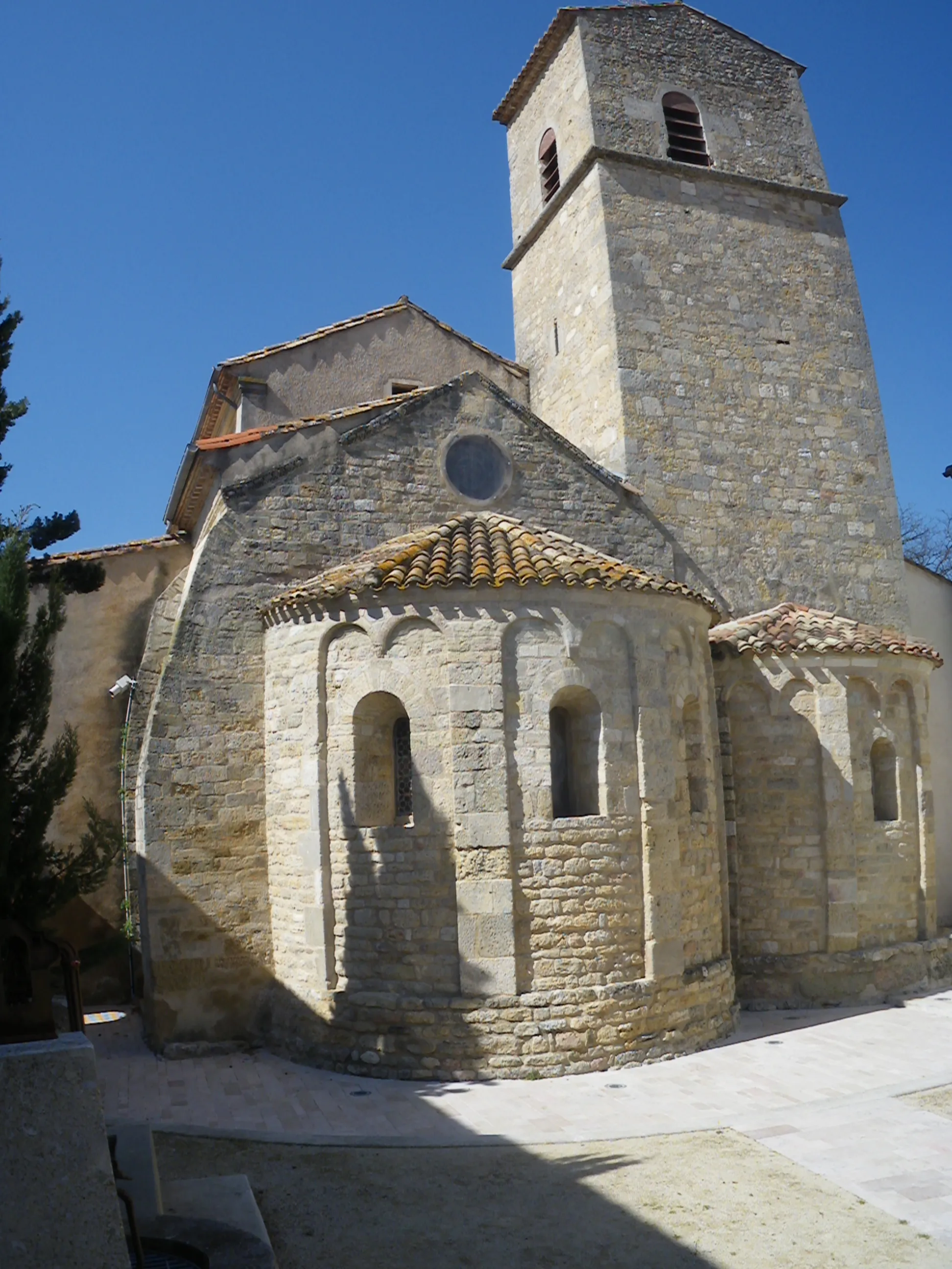
AssignanVillageAssignan, situated 27 kilometers into the route, is a charming medieval village with narrow streets, hidden squares, and beautiful stone houses.
37 km
37 km
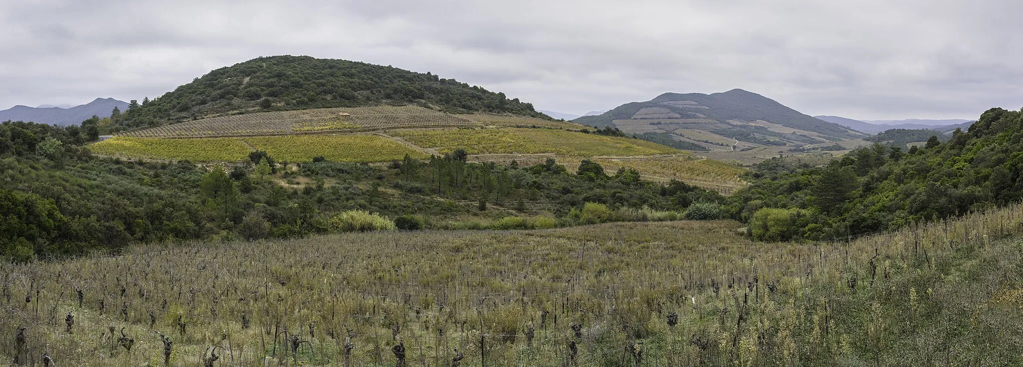
PardailhanVillagePardailhan, 37 kilometers into the route, is a peaceful village surrounded by rolling green hills and vineyards, perfect for a relaxing break.
40 km
40 km
Col de Rodomouls563 mMountain PassCol de Rodomouls, located at the 40-kilometer mark, offers breathtaking views over the Pyrenees mountains and is a challenge for cyclists seeking thrilling climbs.
58 km
58 km
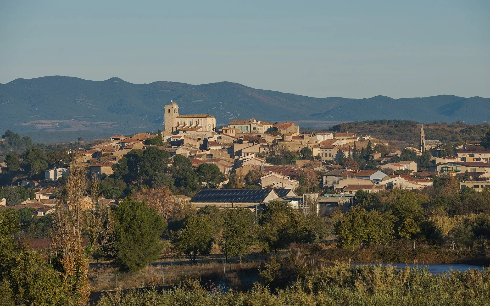
Saint-Étienne-d'AlbagnanVillageSaint-Étienne-d'Albagnan, at 58 kilometers into the route, is a hidden gem known for its picturesque setting and traditional French charm.
61 km
61 km
Montahuc611 mPeakMontahuc, situated at 61 kilometers into the route, provides yet another stunning viewpoint, allowing cyclists to take in the scenic beauty of the region.
79 km
79 km
BerlouVillageBerlou, located 79 kilometers into the route, is a tranquil village nestled in the heart of vineyards, offering a peaceful escape from the hustle and bustle.
81 km
81 km
Col de la Pierre Blanche170 mMountain PassCol de la Pierre Blanche, at 81 kilometers into the route, is a challenging pass known for its panoramic views and thrilling descents.
98 km
98 km
Puech de la Garbe146 mPeakPuech de la Garbe, situated 98 kilometers into the route, rewards cyclists with sweeping views over the surrounding valleys and plains.
100 km
100 km
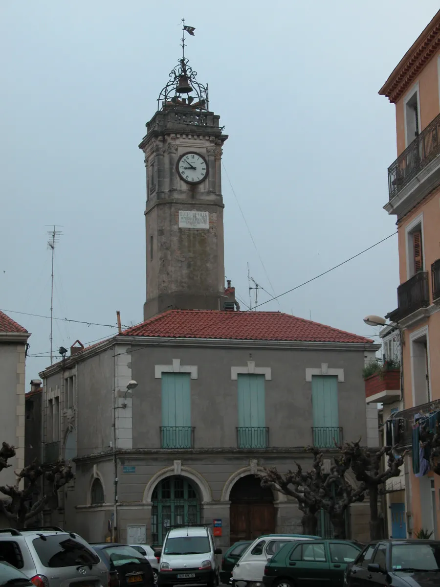
Cazouls-lès-BéziersVillageCazouls-lès-Béziers, near the end of the route, is a bustling town with plenty of cafes, restaurants, and historical landmarks to explore.
105 km
105 km
Finish: Maureilhan Village centerMaureilhan: Cycling Paradise in Languedoc-Roussillon
Cycling routes from Maureilhan:
Scenic Loop between Maureilhan and Pech du Thou Gravel Adventure to Sallèles-d'Aude Explore the Scenic Gravel Routes near Maureilhan Covering Cultural Gems near Maureilhan on Road Scenic Road Adventure to Gouffre de l'Œil Doux Gravel route from Maureilhan Road route from Maureilhan Road route from Maureilhan Gravel route from Maureilhan Gravel route from Maureilhan
Cycling routes nearby: