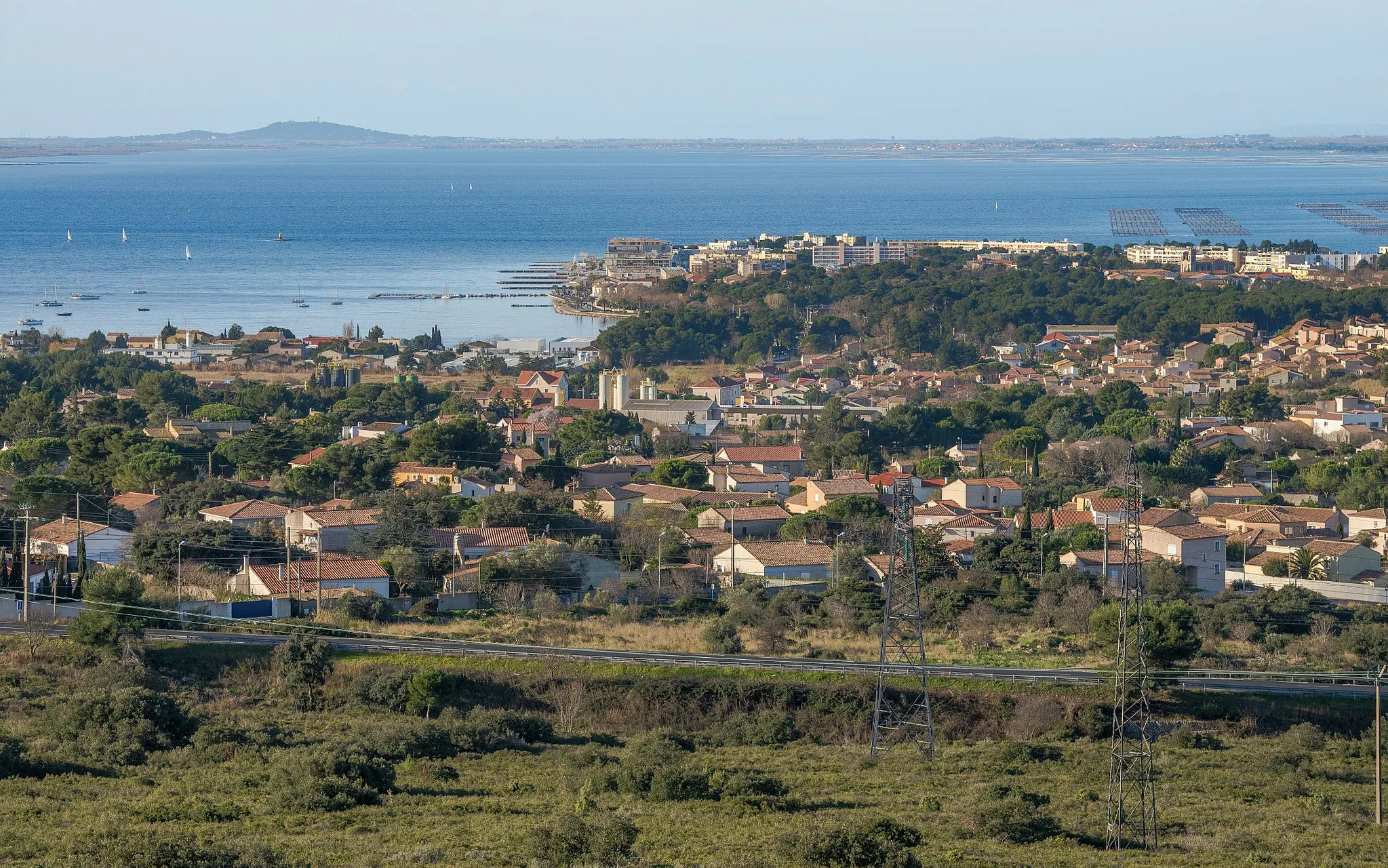
Embracing the beauty of Villeveyrac on two wheels
Cycling routes from Villeveyrac
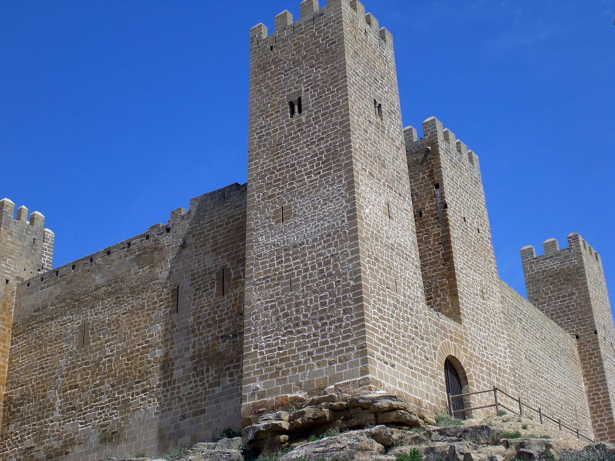
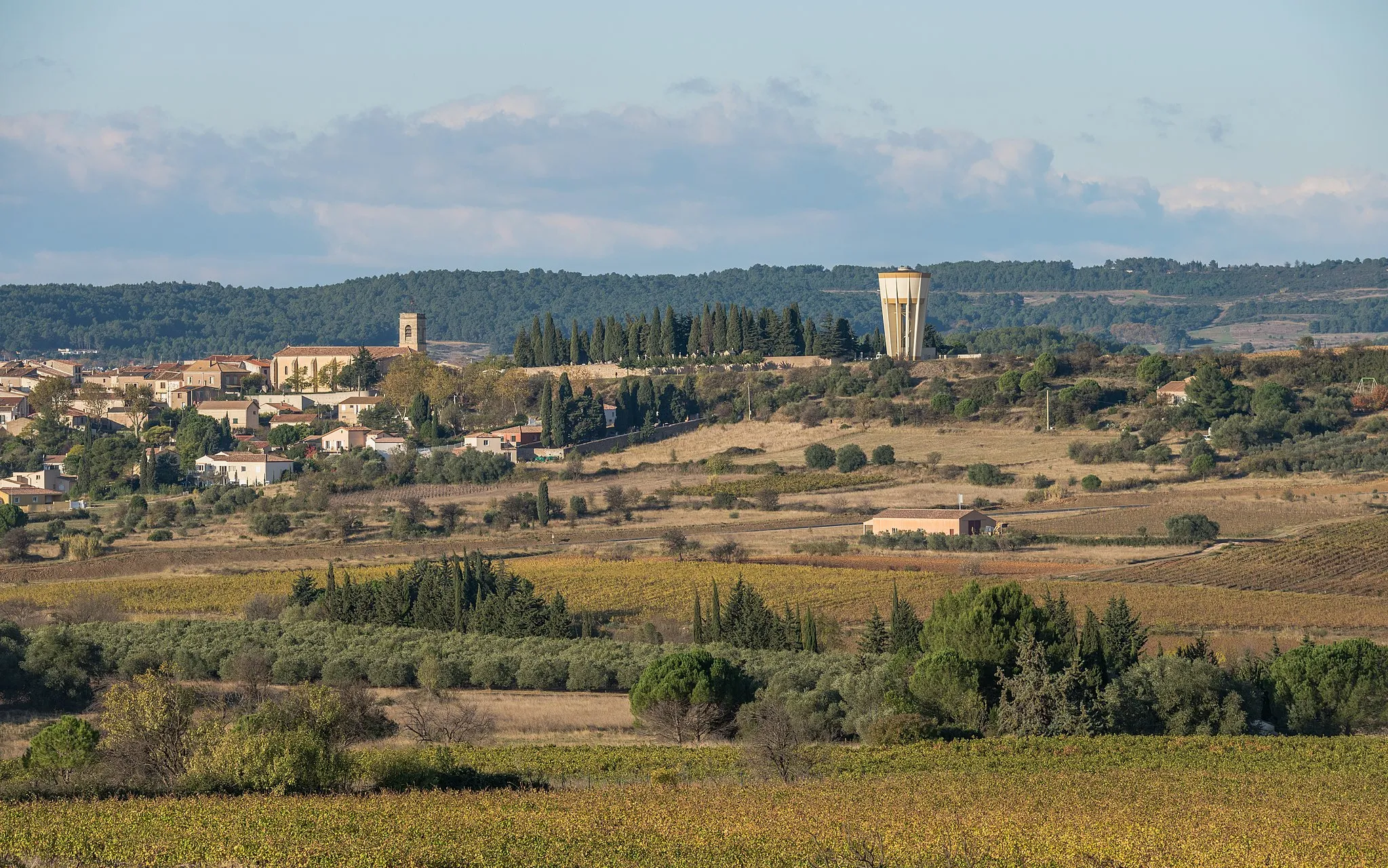
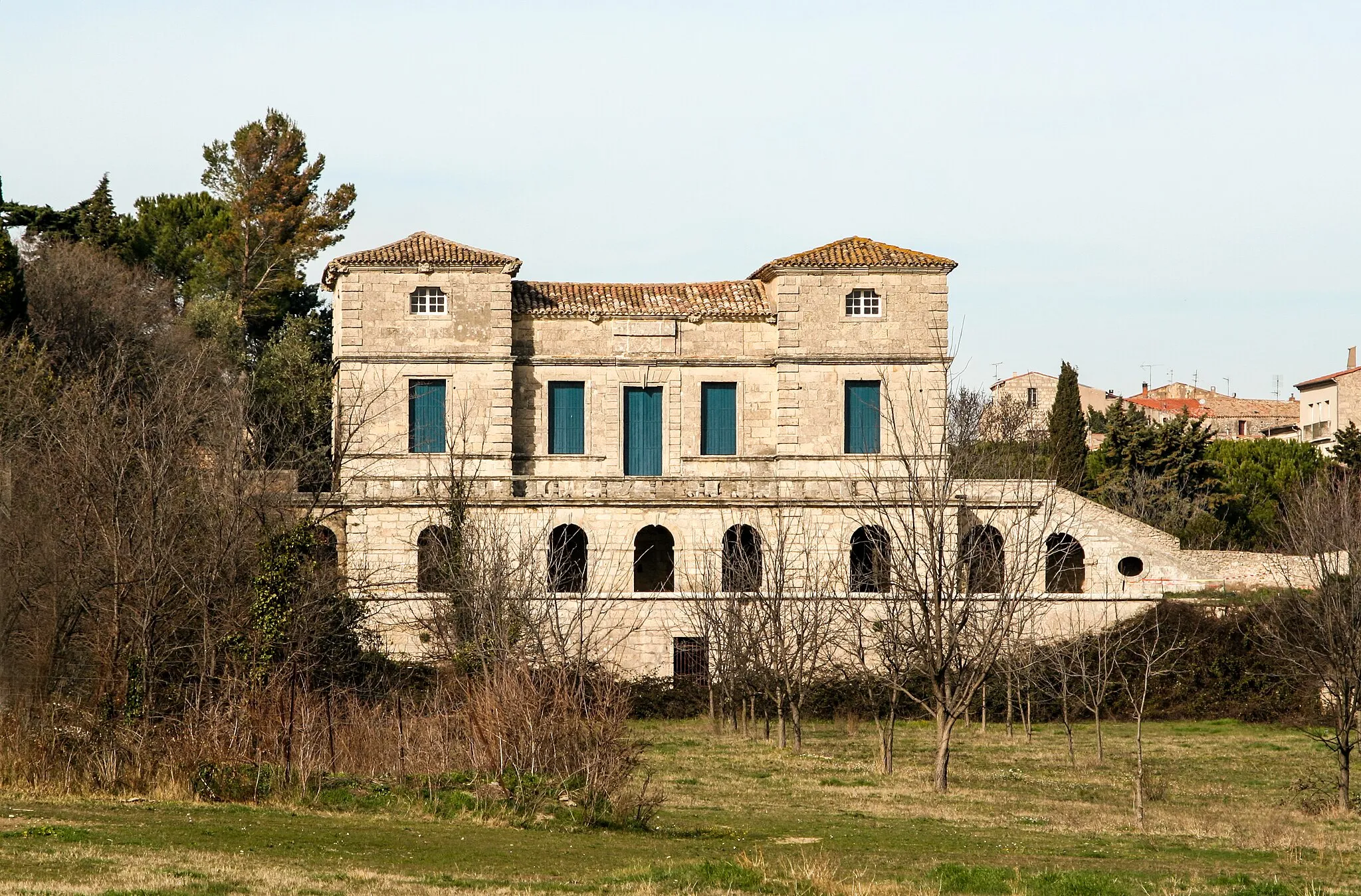
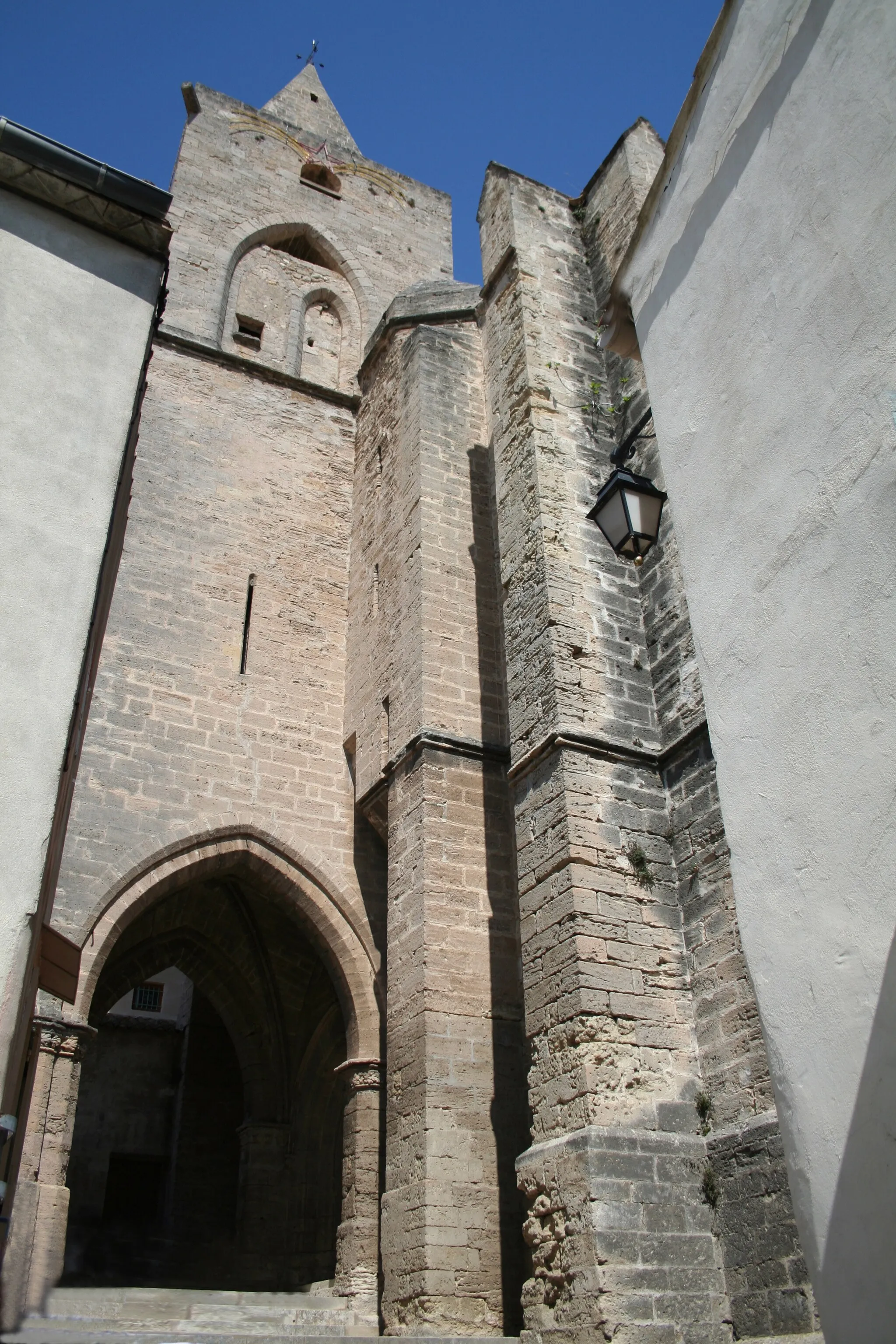
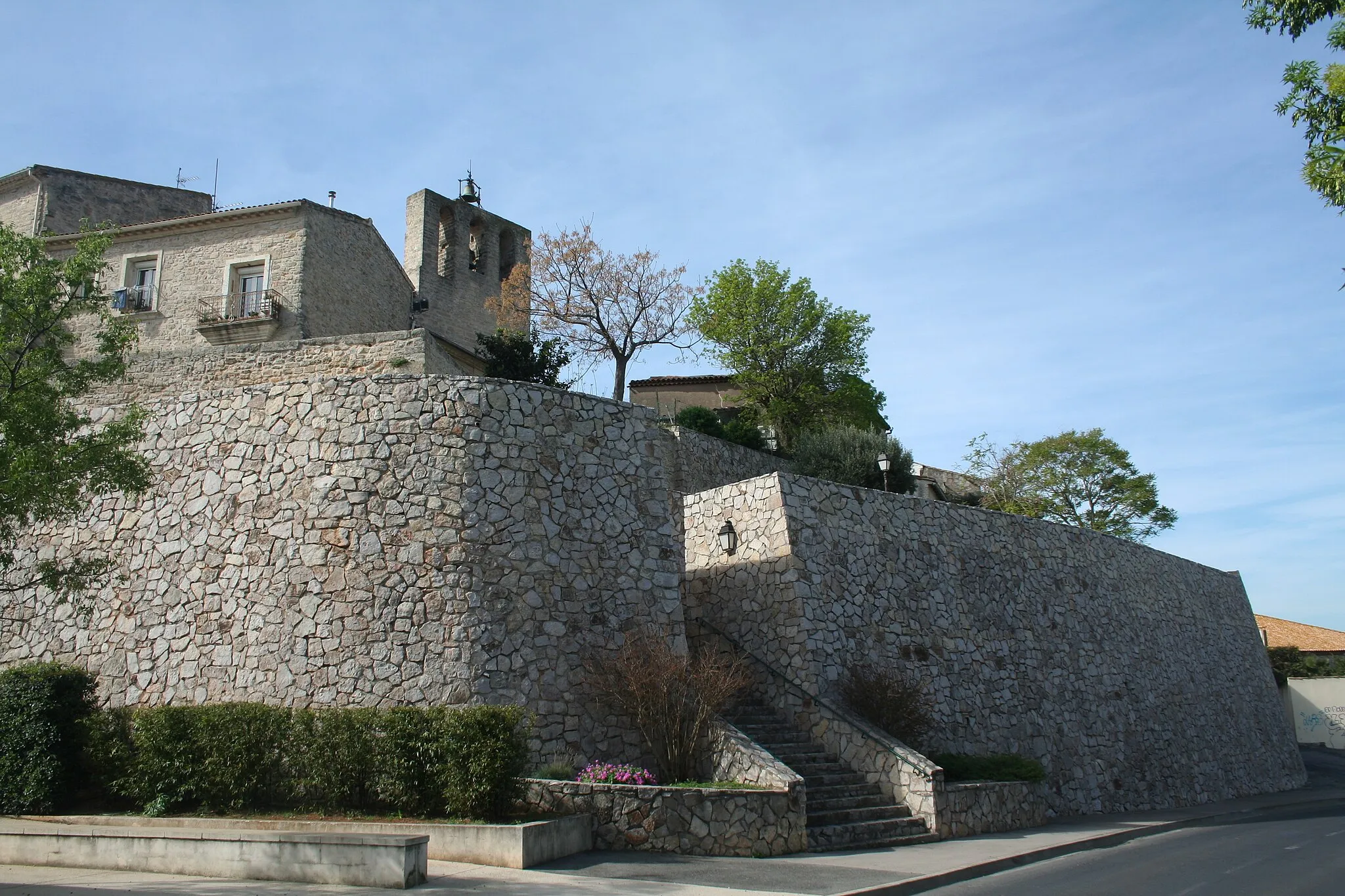
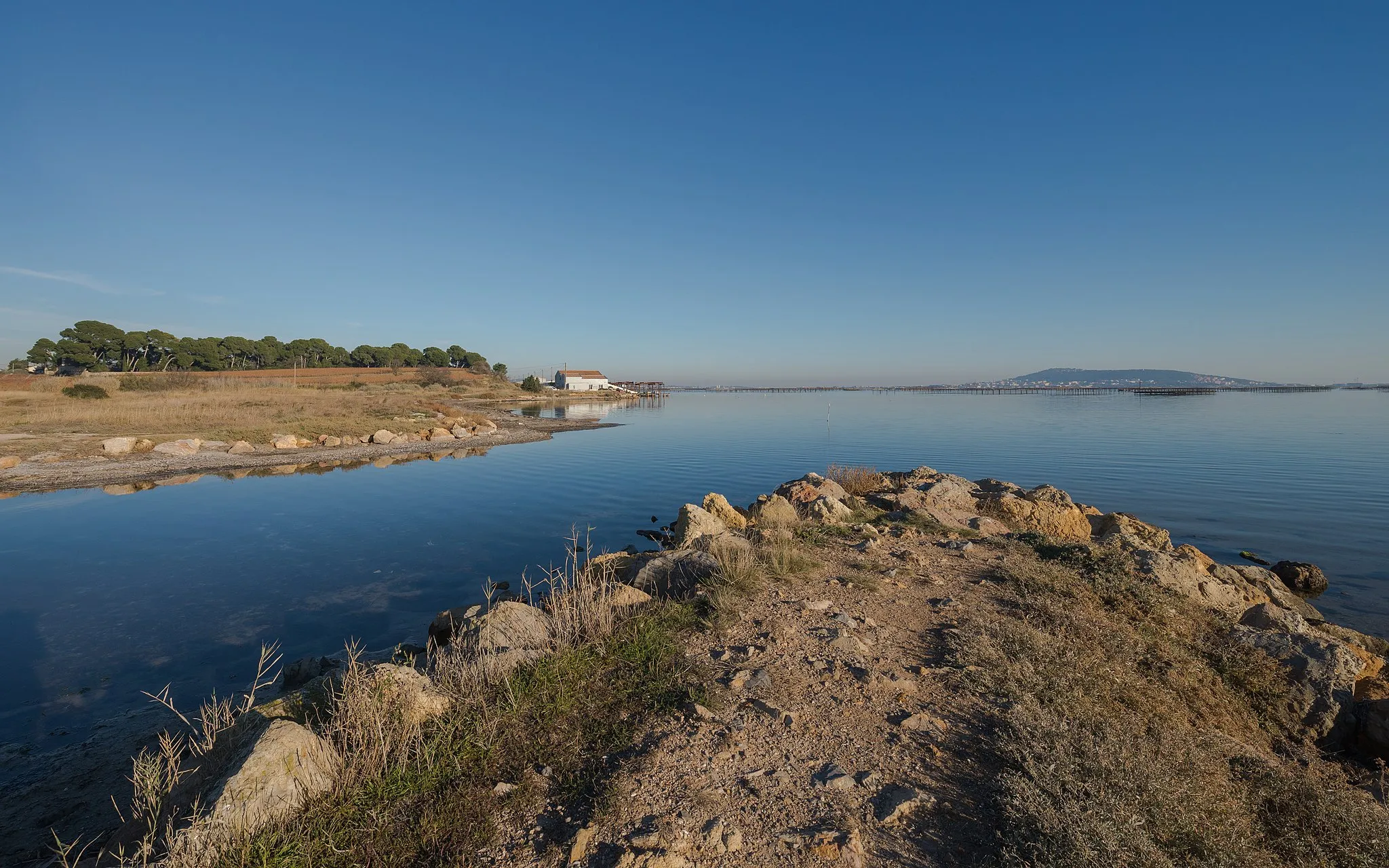
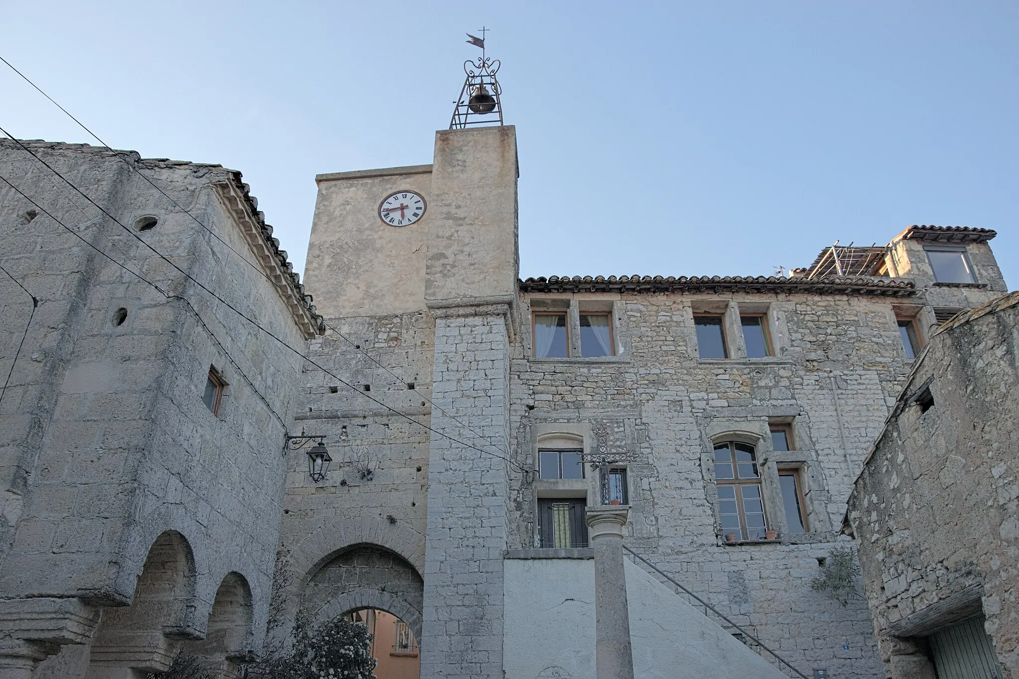
Villeveyrac is a small village situated in the Languedoc-Roussillon region of France. From a cyclist's perspective, the locality offers scenic routes through rolling hills and vineyards, providing an enjoyable experience for road and gravel cyclists. The village itself preserves its traditional charm with stone buildings and narrow streets. Nearby, cyclists can challenge themselves on the famous climb of Mont Aigoual, known for its inclusion in the Tour de France. Overall, Villeveyrac is a cycling-friendly area that combines natural beauty with a selection of exhilarating climbs for those seeking more challenging rides.
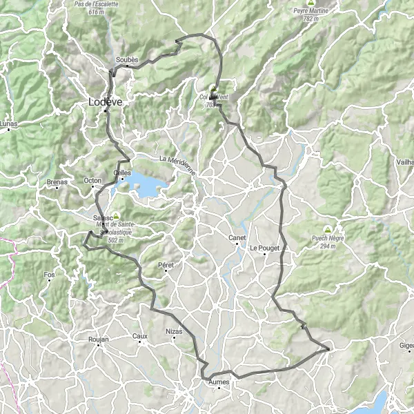
Embark on a challenging road journey from Villeveyrac to Table d'orientation and beyond to Col du Vent
This 126 km road route encompasses breathtaking scenery and thrilling climbs. Brace yourself for an ascent of 1668m as you cycle through the stunning villages of Lézignan-la-Cèbe, Fontès, Point de vue sur Cabrières, Valmascle, Cébérou, La Vierge, Saint-Étienne-de-Gourgas, Col du Vent, Arboras, Pont de Gignac, Saint-Bauzille-de-la-Sylve, and finally reach the prominent Table d'orientation.
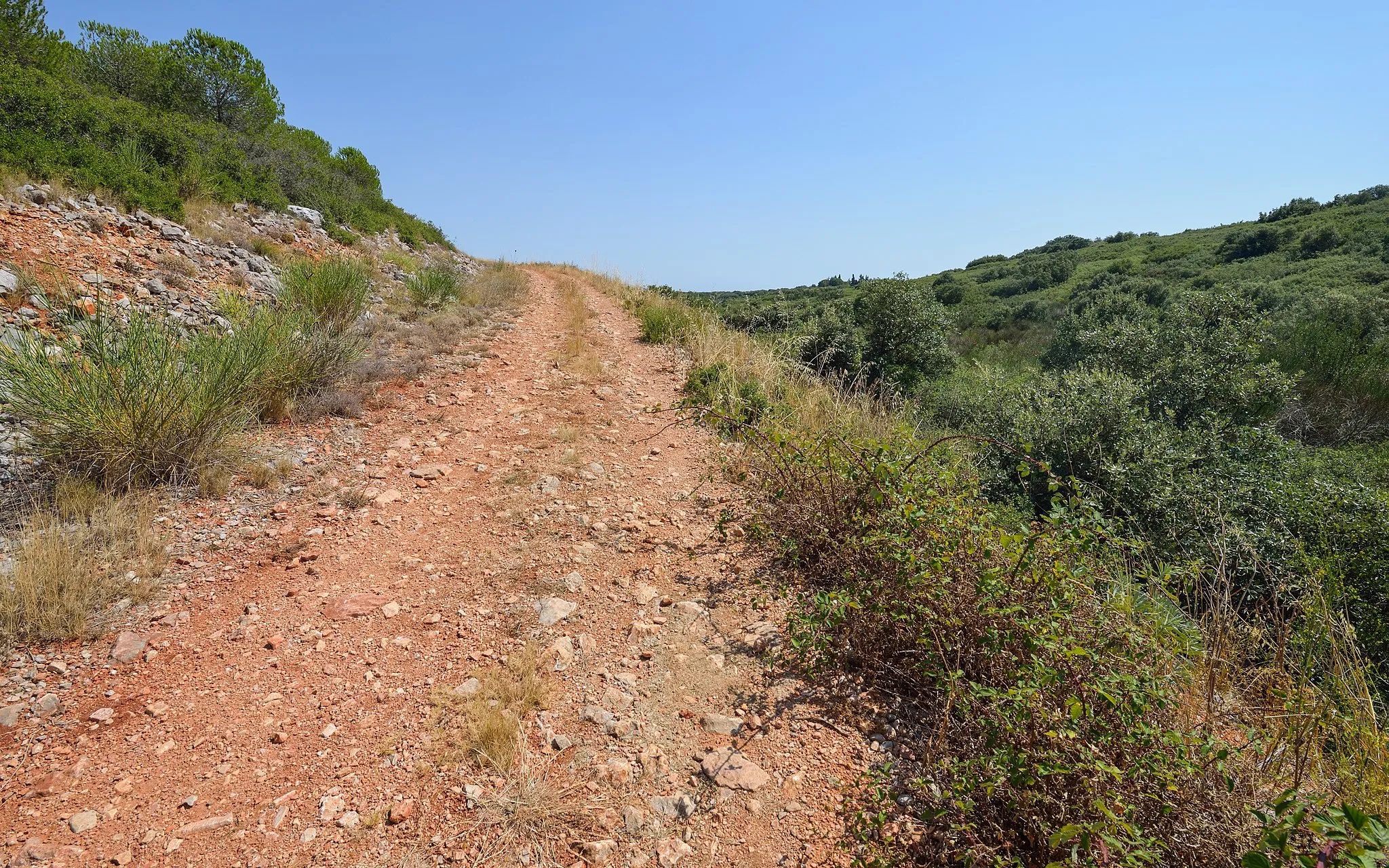
Immerse yourself in the picturesque landscapes of Villeveyrac on this 49 km gravel route
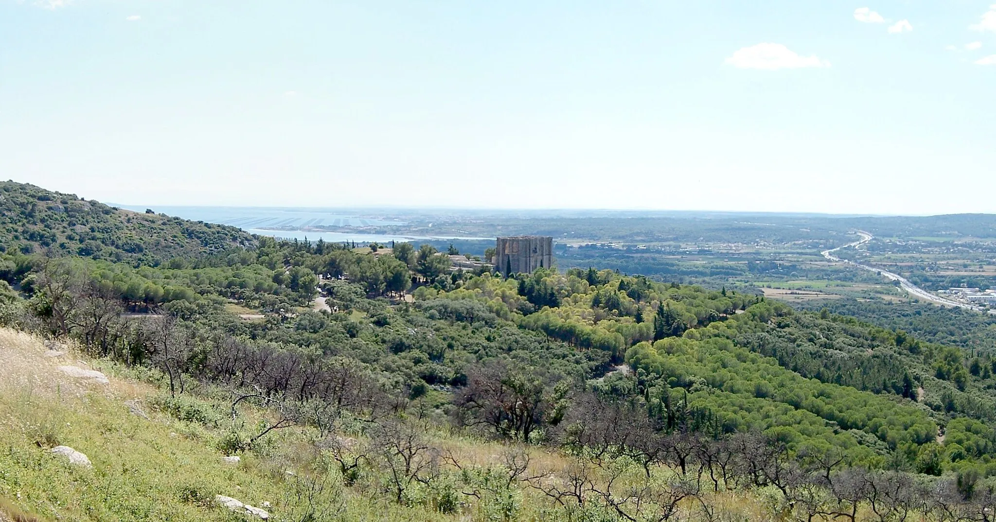
Escape the crowds and discover the hidden beauty of Villeveyrac and its surroundings on this 49 km gravel route. Pass through Puech Badieu, Pomérols, Aumes, and enjoy breathtaking views from the Table d'orientation viewpoint. With a total ascent of 511 meters, this route offers a moderate challenge for gravel enthusiasts. Take a moment to relax at Pioch Rond, surrounded by unspoiled nature. Revel in the stunning landscapes and immerse yourself in the tranquility of this scenic gravel route near Villeveyrac.
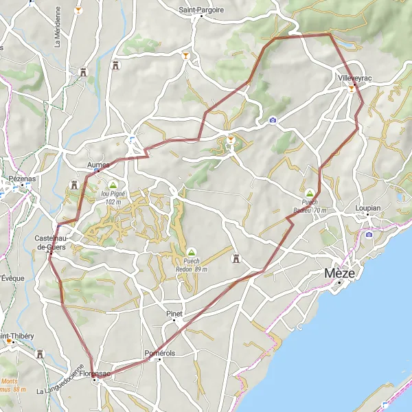
Challenge yourself on this 55 km gravel route with significant climbs and stunning views
For gravel enthusiasts seeking a challenging adventure, this 55 km loop from Villeveyrac won't disappoint. With a total ascent of 582 meters, this route takes you through Saint-Martin de la Garrigue, lou Pigné, Pézenas, Adissan, Campagnan, and offers breathtaking views from the Table d'orientation viewpoint. Ascend steep climbs and reward yourself with panoramic vistas. Suitable for experienced gravel riders seeking an epic adventure, this route showcases the natural beauty and rugged terrain surrounding Villeveyrac.
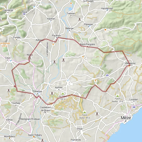
Explore the scenic gravel roads from Villeveyrac to Table d'orientation
This challenging 53 km gravel route takes you through beautiful countryside and stunning landscapes. Be prepared for a moderate ascent of 584m as you pedal through the picturesque villages of Montagnac, La Carrière des Esclots, Fontès, Campagnan, and finally reaching the impressive Table d'orientation.
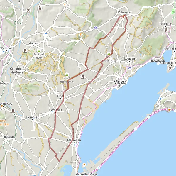
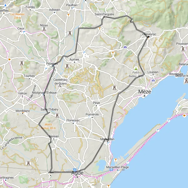
Embark on a 48 km gravel adventure near Villeveyrac through picturesque landscapes
Experience the thrill of gravel cycling on this 48 km loop near Villeveyrac. Ride through the scenic countryside, including Puech Badieu, Marseillan, and Pomérols. With a total ascent of 365 meters, this route provides a moderate challenge for gravel enthusiasts. Take a moment to appreciate the peaceful ambiance of Puech Redon. Suitable for riders seeking a mix of adventure and natural beauty, this gravel route offers a unique perspective of the region.
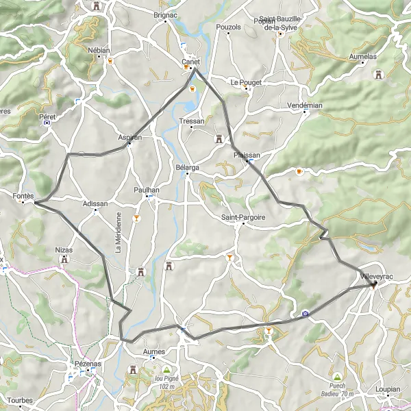
A scenic road cycling route from Villeveyrac to Puilacher
This 53-kilometer road cycling route takes you through picturesque towns and stunning countryside in Languedoc-Roussillon. Experience the beauty of Lézignan-la-Cèbe, Aspiran, and Puilacher as you conquer a total ascent of 423 meters. Suitable for well-trained amateurs, this route offers a moderate level of difficulty with a rewarding ride through the region's charming landscapes. Embark on this adventure and enjoy the highlights along the way.
Embark on a scenic road journey from Villeveyrac to Table d'orientation with a visit to the Abbey de Valmagne
This 102 km road route promises unparalleled beauty and historic charm. With an ascent of 1267m, you'll pedal through captivating locations such as Abbey de Valmagne, lou Pigné, Pech Clavel, Abeilhan, Fouzilhon, Puech de Lacan, Table d'orientation - Belvédère de la Ramasse, Clermont-l'Hérault, Puilacher, and finally reach Table d'orientation.
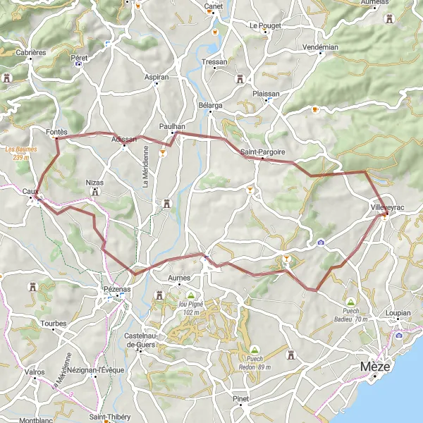
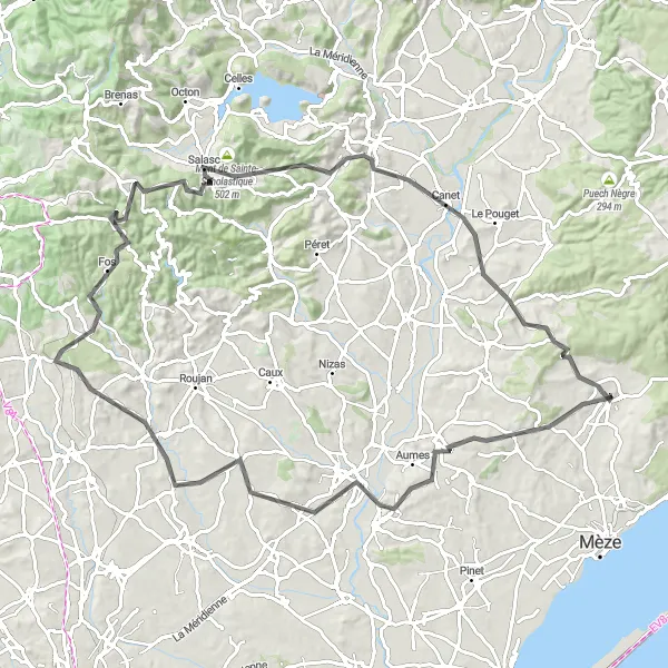
Discover the hidden gems on the gravel path from Villeveyrac to Table d'orientation
This 63 km gravel route takes a detour from Villeveyrac to explore the lesser-known spots, offering a unique perspective of the region. You'll encounter a moderate ascent of 583m and pass by Puech Badieu, Le Fort, Saint-Thibéry, Nézignan-l'Évêque, Aumes, lou Pigné, and finally reach the glorious Table d'orientation.
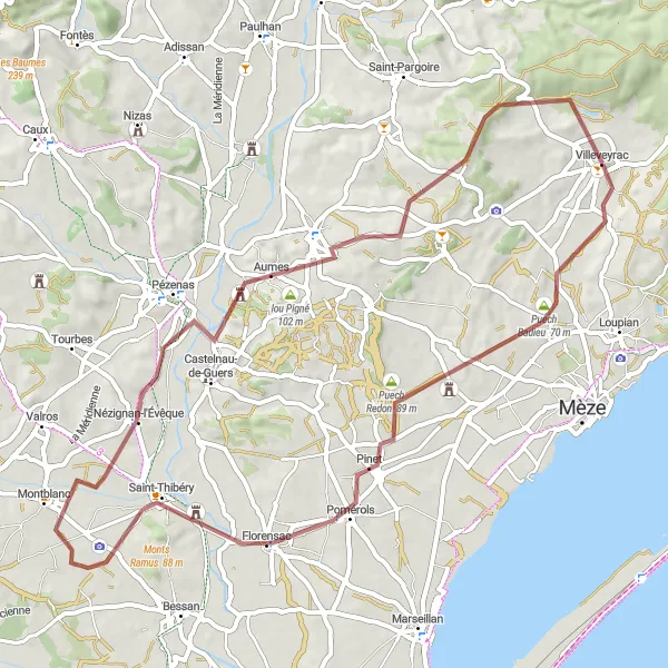
Experience the beauty of Villeveyrac and its surroundings on this 73 km road cycling loop
Embark on a picturesque road cycling journey from Villeveyrac, passing through Puech Badieu, Marseillan, Agde, Le Fort, Saint-Thibéry, and Saint-Pons-de-Mauchiens. This scenic loop offers a mix of coastal and countryside landscapes, with quaint villages and historical attractions along the route. Cyclists will encounter some moderate climbs, making it suitable for intermediate riders. Don't forget to take in the beautiful views from the Table d'orientation viewpoint. This route provides a delightful cycling experience and showcases the charm of Villeveyrac and its surroundings.
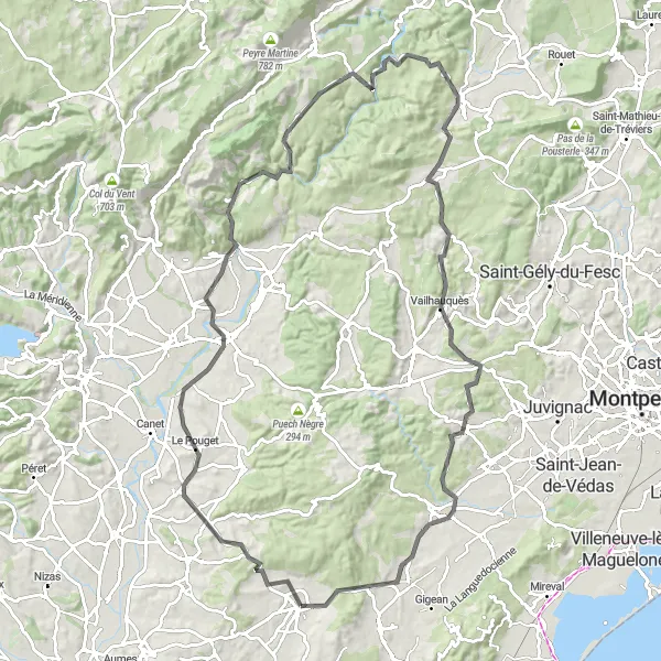
A challenging road cycling route from Villeveyrac to Saint-Guilhem-le-Désert
Embark on a 107-kilometer road cycling adventure that will push your limits. With a total ascent of 1433 meters, this route takes you through the beautiful landscapes of Languedoc-Roussillon. Discover hidden gems such as Plaissan, Pont de Gignac, and Viols-en-Laval as you make your way to the famous Saint-Guilhem-le-Désert. This challenging route is best suited for well-trained cyclists looking for an epic ride.
Cycling routes nearby:
Nearby regions: