Road Route: Villeveyrac to Table d'orientation and Col du Vent
A road cycling route starting from Villeveyrac
Embark on a challenging road journey from Villeveyrac to Table d'orientation and beyond to Col du Vent
Map
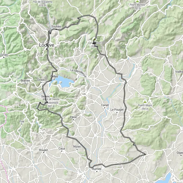
This 126 km road route encompasses breathtaking scenery and thrilling climbs. Brace yourself for an ascent of 1668m as you cycle through the stunning villages of Lézignan-la-Cèbe, Fontès, Point de vue sur Cabrières, Valmascle, Cébérou, La Vierge, Saint-Étienne-de-Gourgas, Col du Vent, Arboras, Pont de Gignac, Saint-Bauzille-de-la-Sylve, and finally reach the prominent Table d'orientation.
road
126 km
1668 m
Savage
Route profile
Highlights on the route
0 km
0 km
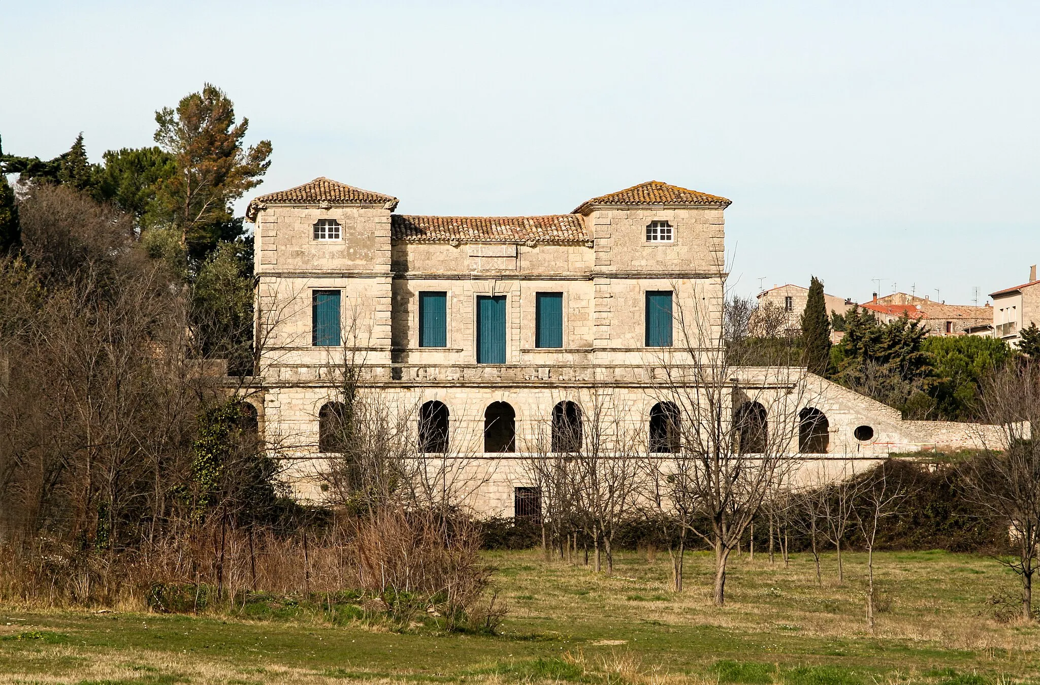
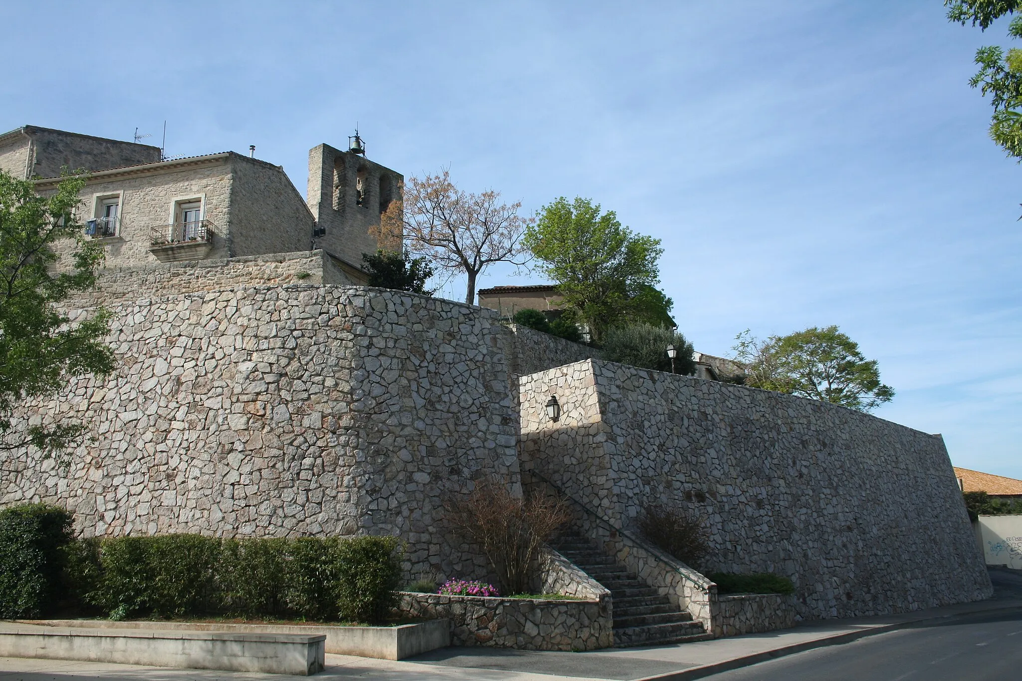
Start: Villeveyrac Village centerVilleveyrac: Embracing the beauty of Villeveyrac on two wheels
Villeveyrac is a small village situated in the Languedoc-Roussillon region of France. From a cyclist's perspective, the locality offers scenic routes through rolling hills and vineyards, providing an enjoyable experience for road and gravel cyclists. The village itself preserves its traditional charm with stone buildings and narrow streets. Nearby, cyclists can challenge themselves on the famous climb of Mont Aigoual, known for its inclusion in the Tour de France. Overall, Villeveyrac is a cycling-friendly area that combines natural beauty with a selection of exhilarating climbs for those seeking more challenging rides.17 km
17 km
Lézignan-la-CèbeVillageLézignan-la-Cèbe is a quaint village with narrow streets and charming stone homes. Take some time to wander and appreciate the traditional French architecture.
25 km
25 km
FontèsVillageFontès is a picturesque village surrounded by vineyards, offering delightful views and the opportunity to taste exquisite local wines.
29 km
29 km
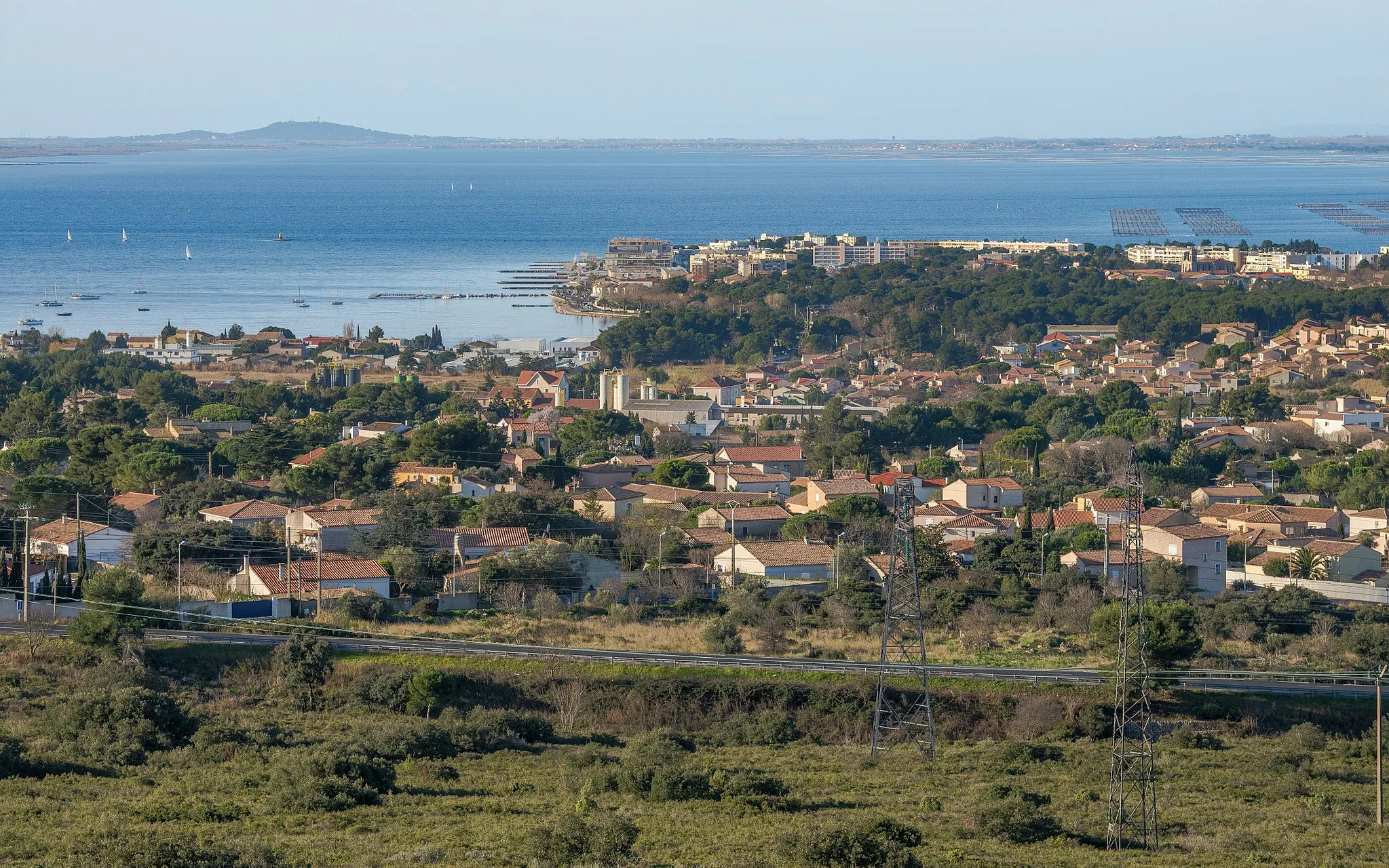
Point de vue sur CabrièresViewpointAt Point de vue sur Cabrières, you'll be rewarded with sweeping vistas over Cabrières and the surrounding landscapes. It's the perfect spot to capture some memorable photos.
37 km
37 km
ValmascleVillageValmascle is a hidden gem nestled amidst scenic surroundings. Enjoy its tranquility before continuing your journey.
52 km
52 km
Cébérou342 mPeakCébérou offers a challenging climb rewarded with stunning panoramic views at the top. Be prepared for an exhilarating ride.
61 km
61 km
La ViergeViewpointLa Vierge is located atop a hill, accompanied by panoramic views of the beautiful countryside. Take a moment to enjoy the peacefulness and appreciate the natural beauty.
71 km
71 km
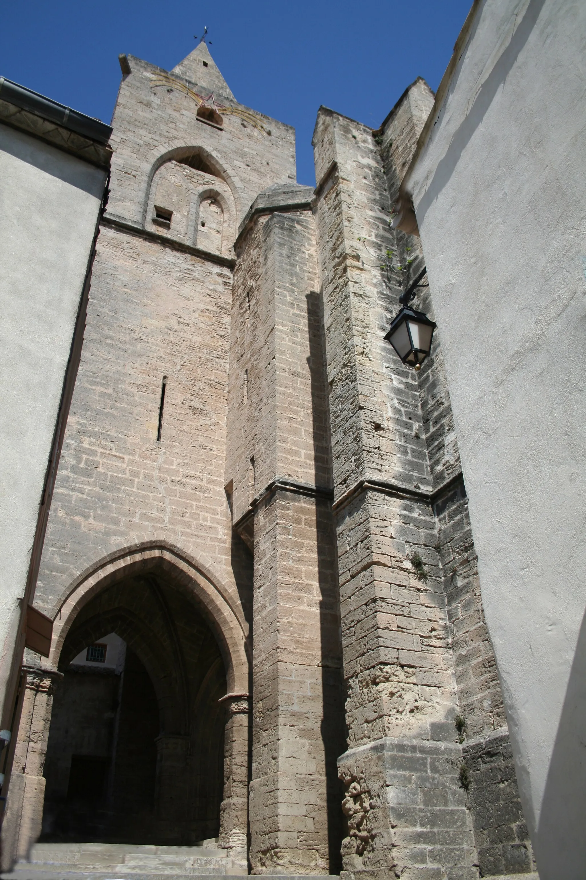
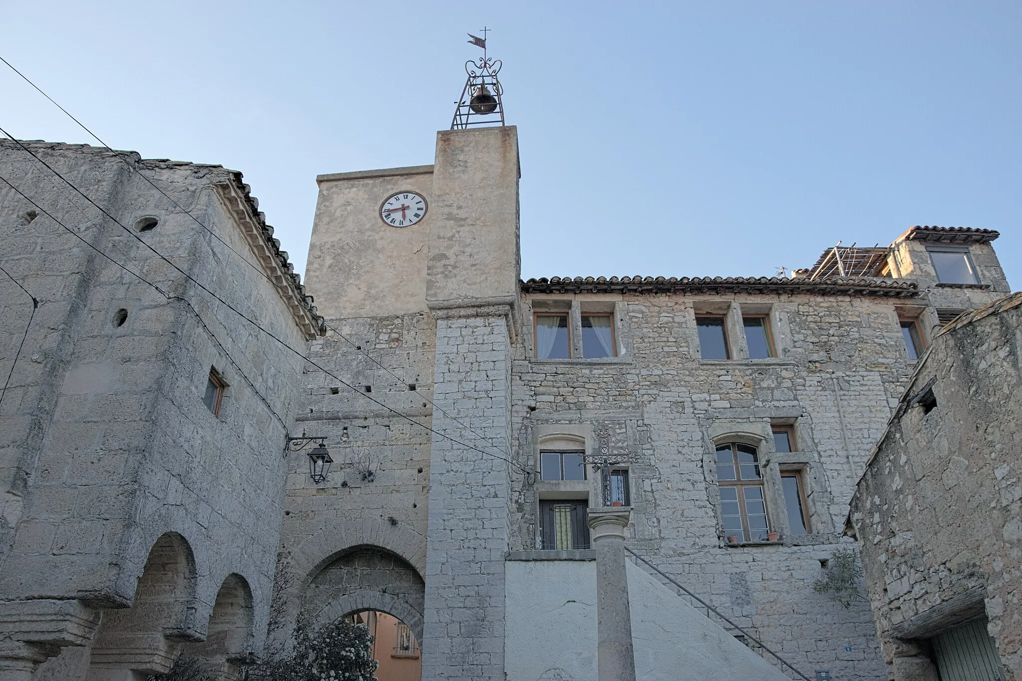
Saint-Étienne-de-GourgasVillageSaint-Étienne-de-Gourgas is an ancient village boasting well-preserved medieval architecture. Explore the charming streets and immerse yourself in its history.
86 km
86 km
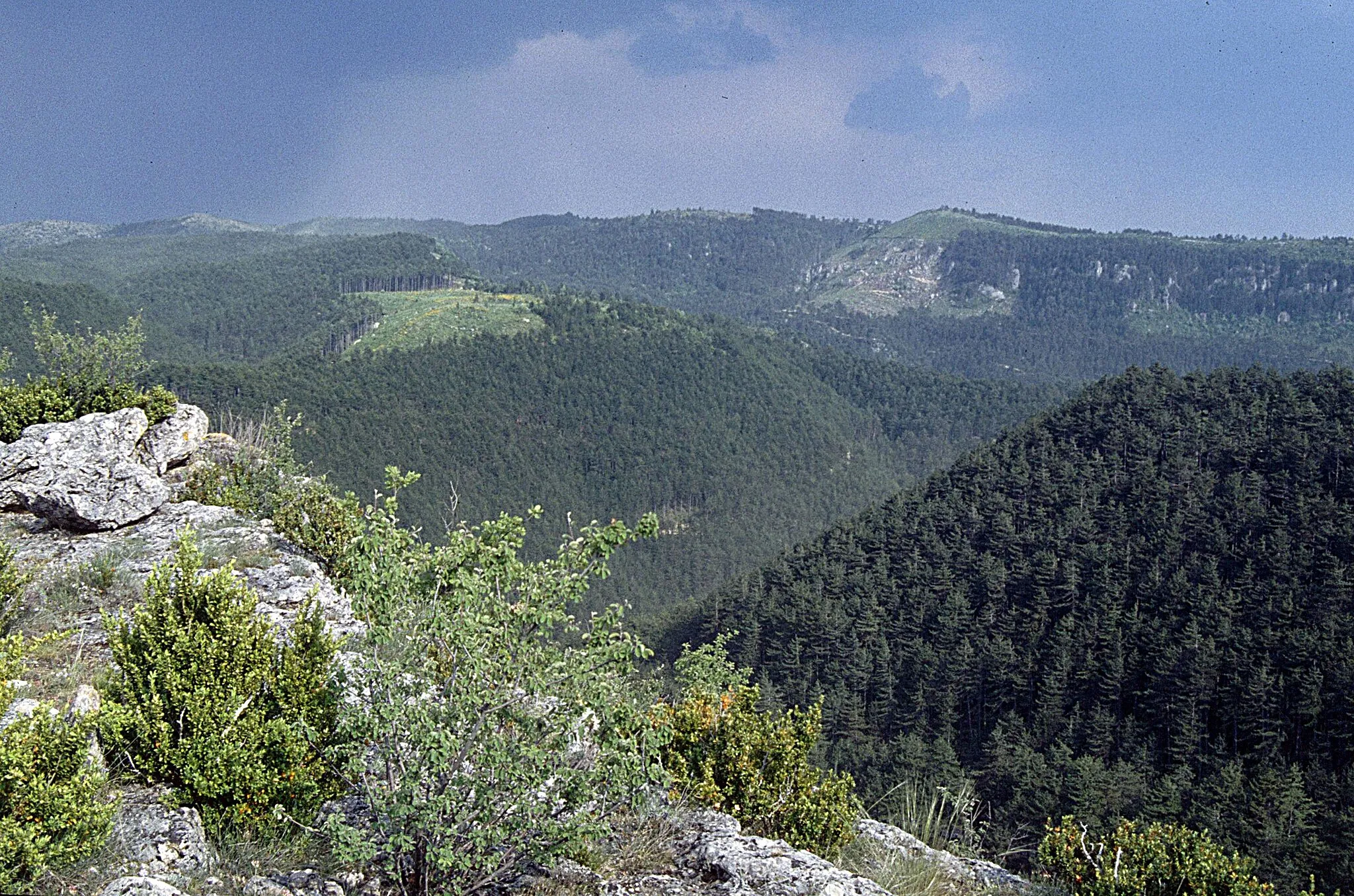
Col du Vent703 mMountain PassCol du Vent is one of the most challenging climbs in the region. Push yourself to the limit as you conquer this legendary spot, rewarded with unmatched views from the top.
94 km
94 km
ArborasVillageArboras is a quaint village surrounded by beautiful vineyards. Take a break and indulge in some locally produced wines to enhance your cycling experience.
103 km
103 km
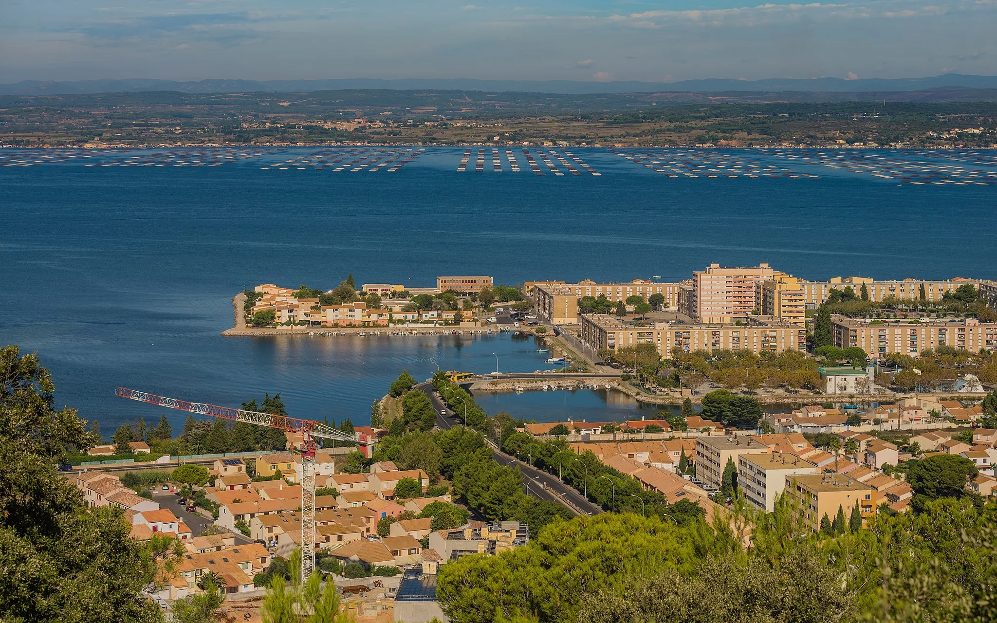
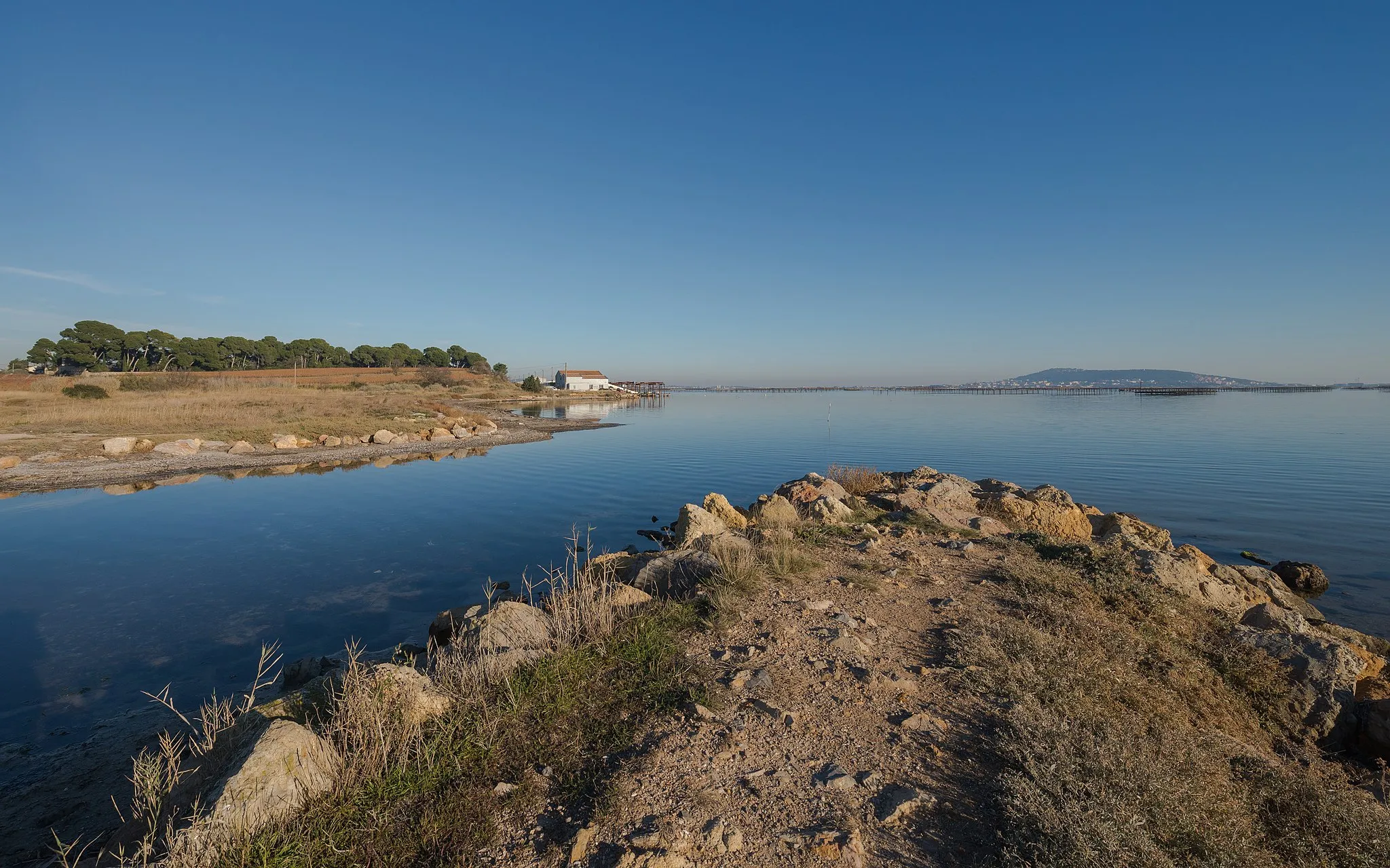
Pont de GignacViewpointPont de Gignac is a picturesque bridge crossing the Hérault River. Pause for a moment and appreciate the scenic beauty before venturing forth.
108 km
108 km
Saint-Bauzille-de-la-SylveVillageSaint-Bauzille-de-la-Sylve is a charming village known for its traditional ambiance and serene atmosphere. Experience the local way of life as you pass through.
121 km
121 km
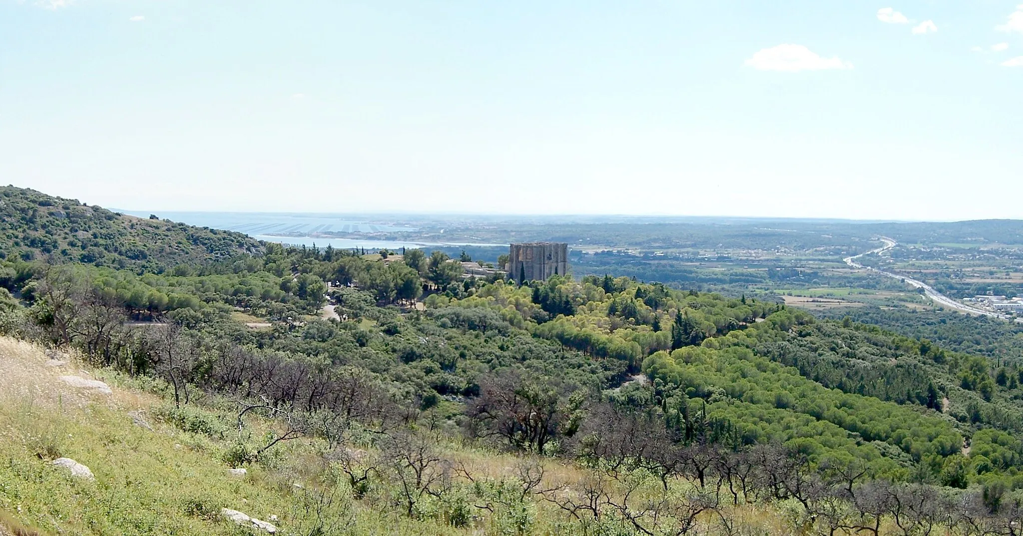
Table d'orientationViewpointTable d'orientation, your final destination, offers breathtaking views over the entire region. Celebrate your achievement and take in the splendor of the landscape before heading back.
126 km
126 km
Finish: Villeveyrac Village centerVilleveyrac: Embracing the beauty of Villeveyrac on two wheels
Cycling routes from Villeveyrac:
Gravel Route: Villeveyrac to Table d'orientation Gravel Route: Villeveyrac to Table d'orientation detour Road Route: Villeveyrac to Table d'orientation and Col du Vent Road Route: Villeveyrac to Table d'orientation through Abbey Valmagne Villeveyrac to Puilacher Loop Villeveyrac to Saint-Guilhem-le-Désert Loop Scenic Villeveyrac Road Cycling Loop Gravel Adventure Near Villeveyrac Picturesque Gravel Route from Villeveyrac Challenging Gravel Adventure from Villeveyrac
Cycling routes nearby: