Gravel Route: Villeveyrac to Table d'orientation detour
A gravel cycling route starting from Villeveyrac
Discover the hidden gems on the gravel path from Villeveyrac to Table d'orientation
Map
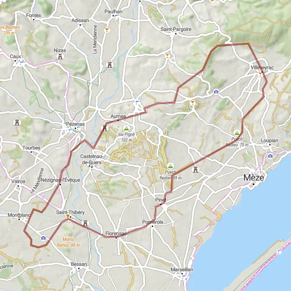
This 63 km gravel route takes a detour from Villeveyrac to explore the lesser-known spots, offering a unique perspective of the region. You'll encounter a moderate ascent of 583m and pass by Puech Badieu, Le Fort, Saint-Thibéry, Nézignan-l'Évêque, Aumes, lou Pigné, and finally reach the glorious Table d'orientation.
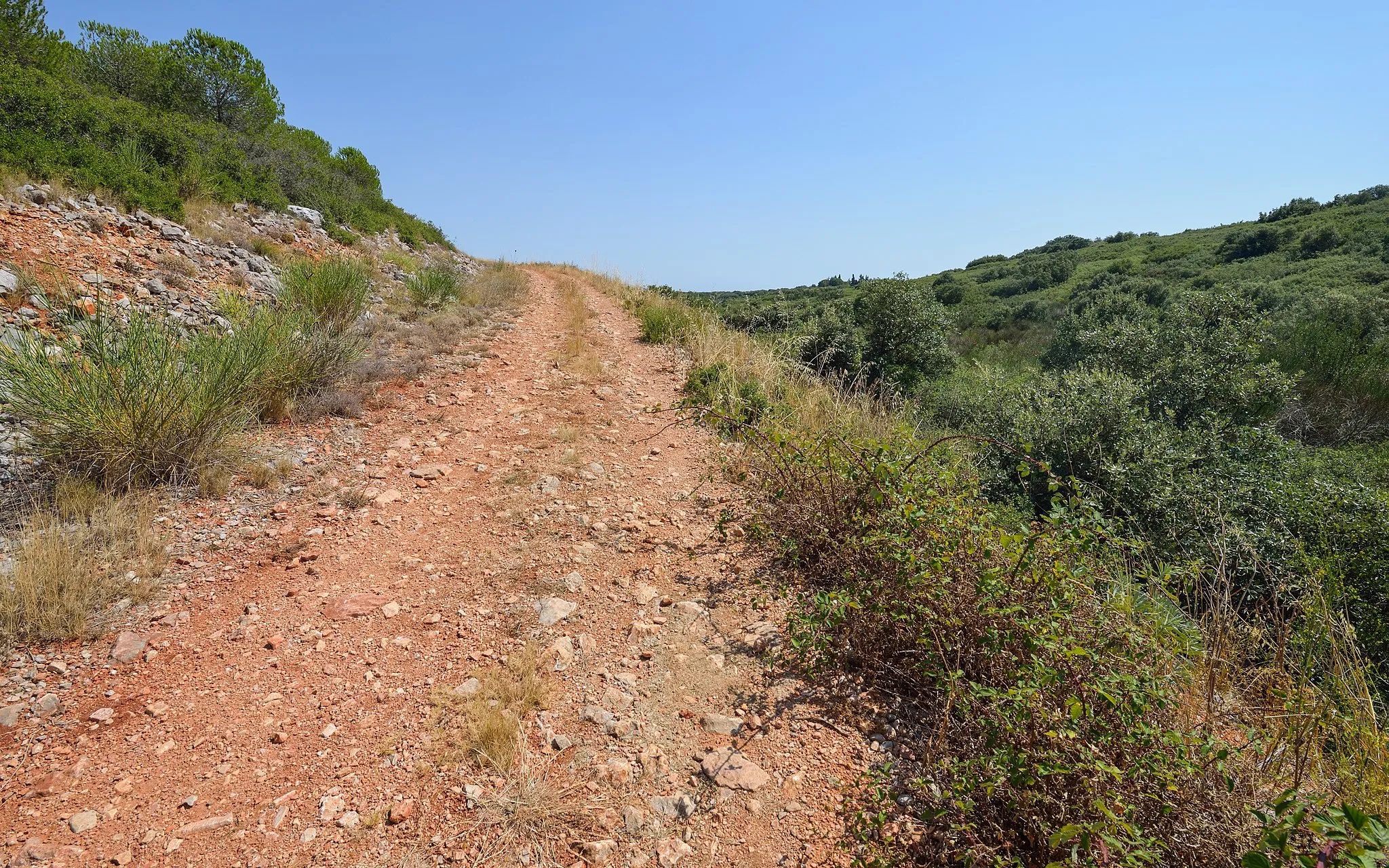
gravel
63 km
583 m
Tough
Route profile
Highlights on the route
0 km
0 km
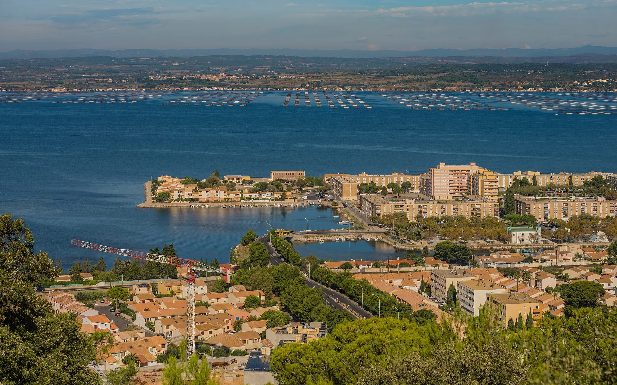
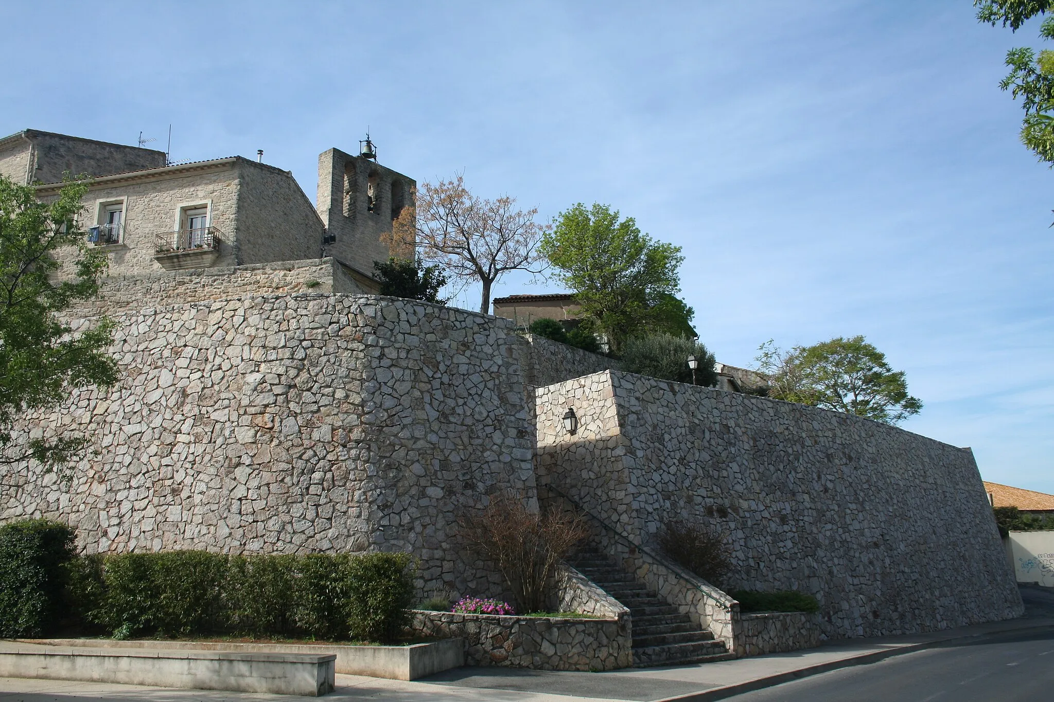
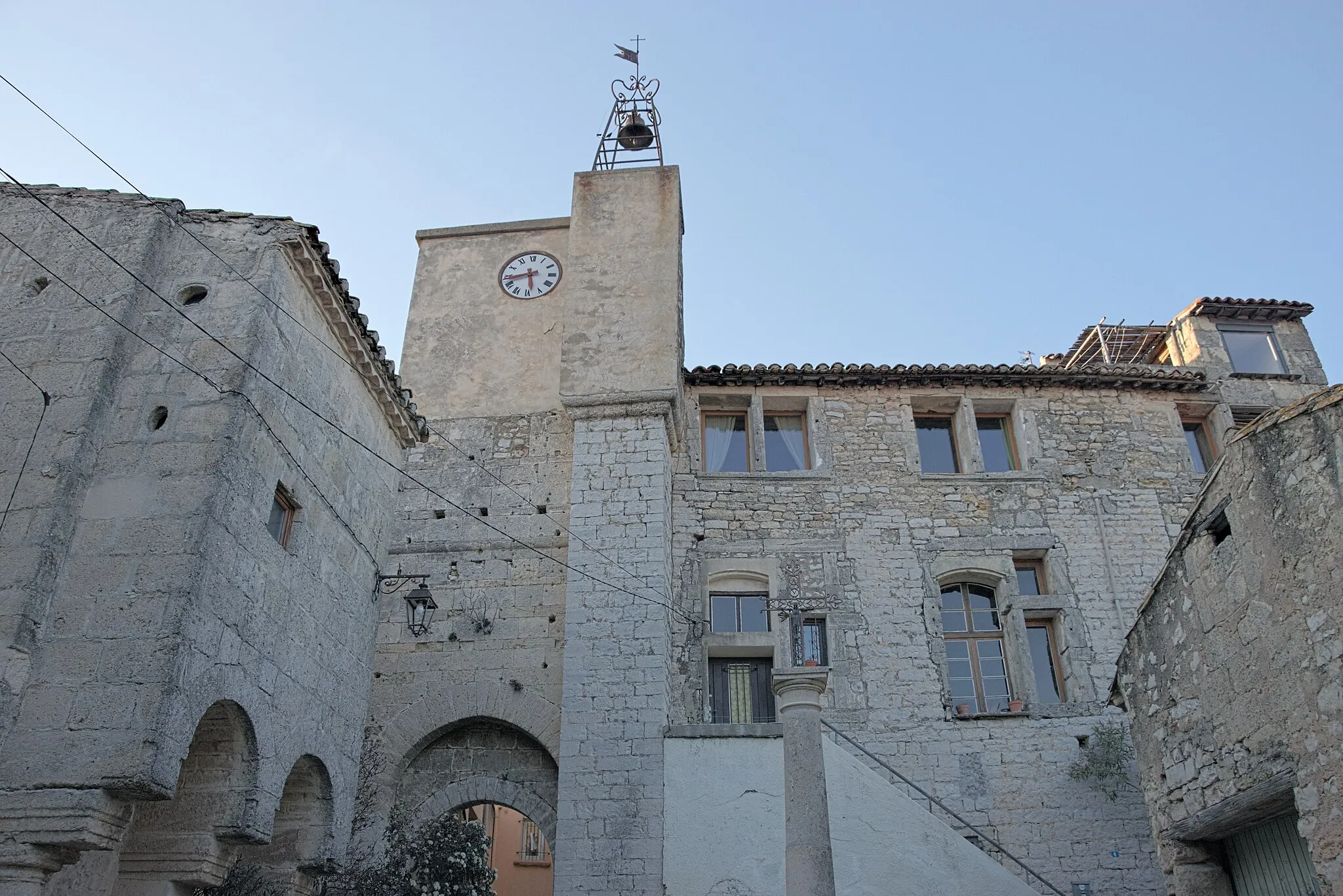
Start: Villeveyrac Village centerVilleveyrac: Embracing the beauty of Villeveyrac on two wheels
Villeveyrac is a small village situated in the Languedoc-Roussillon region of France. From a cyclist's perspective, the locality offers scenic routes through rolling hills and vineyards, providing an enjoyable experience for road and gravel cyclists. The village itself preserves its traditional charm with stone buildings and narrow streets. Nearby, cyclists can challenge themselves on the famous climb of Mont Aigoual, known for its inclusion in the Tour de France. Overall, Villeveyrac is a cycling-friendly area that combines natural beauty with a selection of exhilarating climbs for those seeking more challenging rides.0 km
0 km
VilleveyracVillageVilleveyrac, your starting point, is a charming village with narrow streets and beautiful stone buildings. Take a moment to soak in the local atmosphere before beginning your adventure.
6 km
6 km
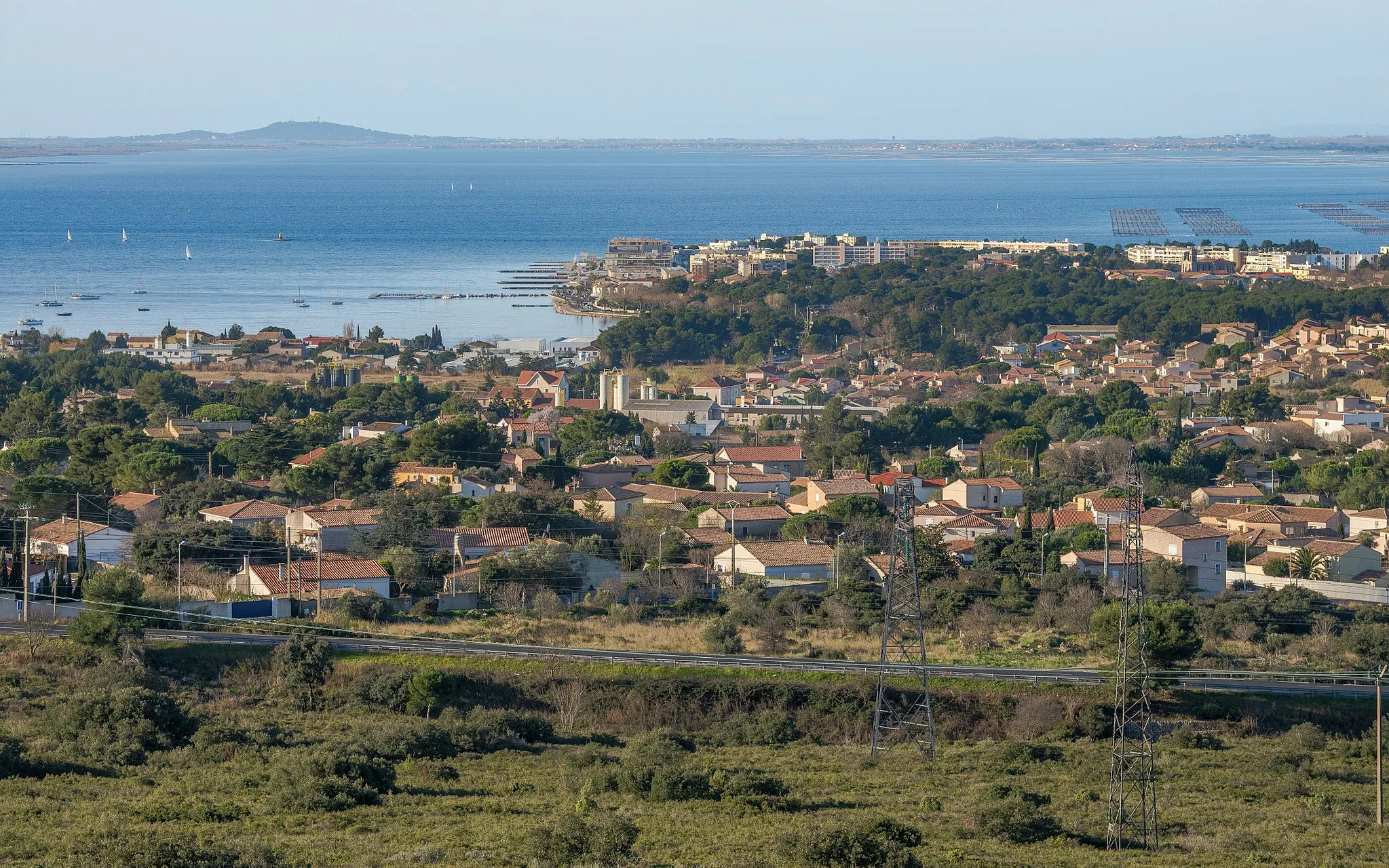
Puech Badieu70 mPeakPuech Badieu offers stunning views over the surrounding landscapes, providing a serene setting for a brief stop during your ride.
25 km
25 km
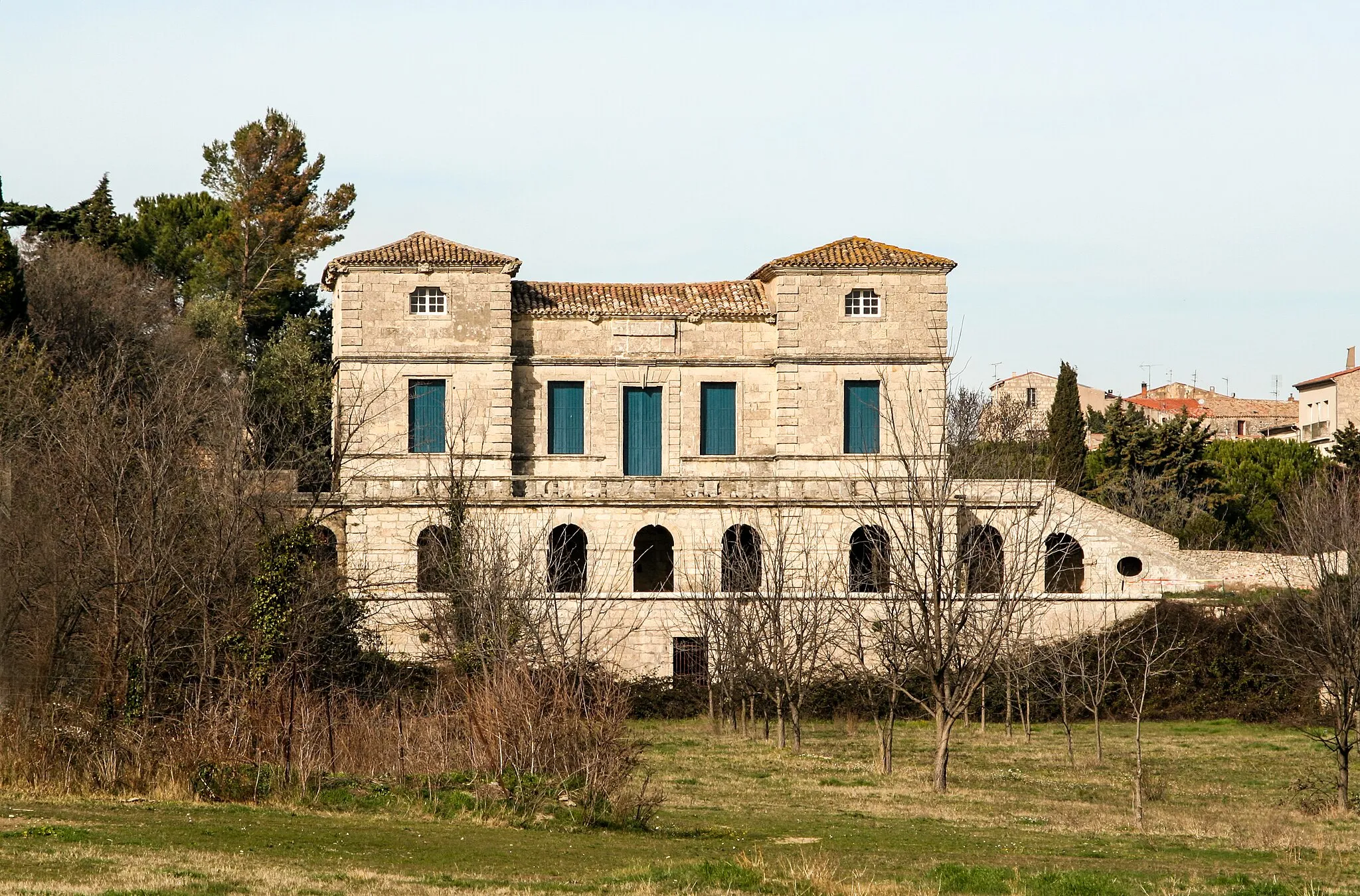
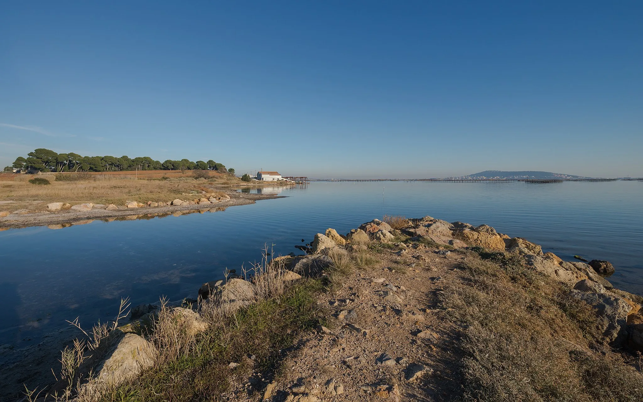
Le FortViewpointLe Fort is a historic site along your route with remnants of ancient structures. Immerse yourself in the stories of the past as you explore this fascinating spot.
25 km
25 km
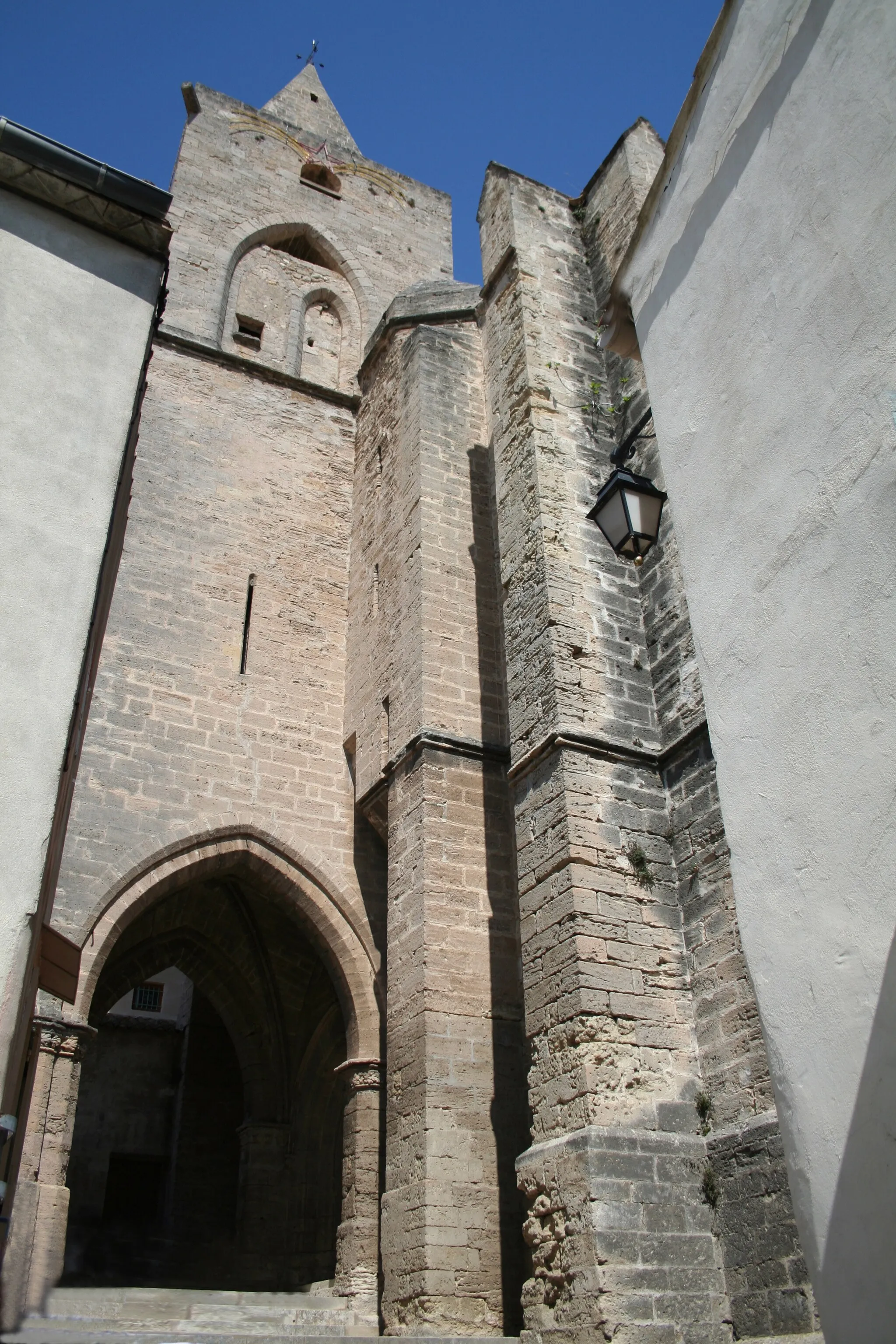
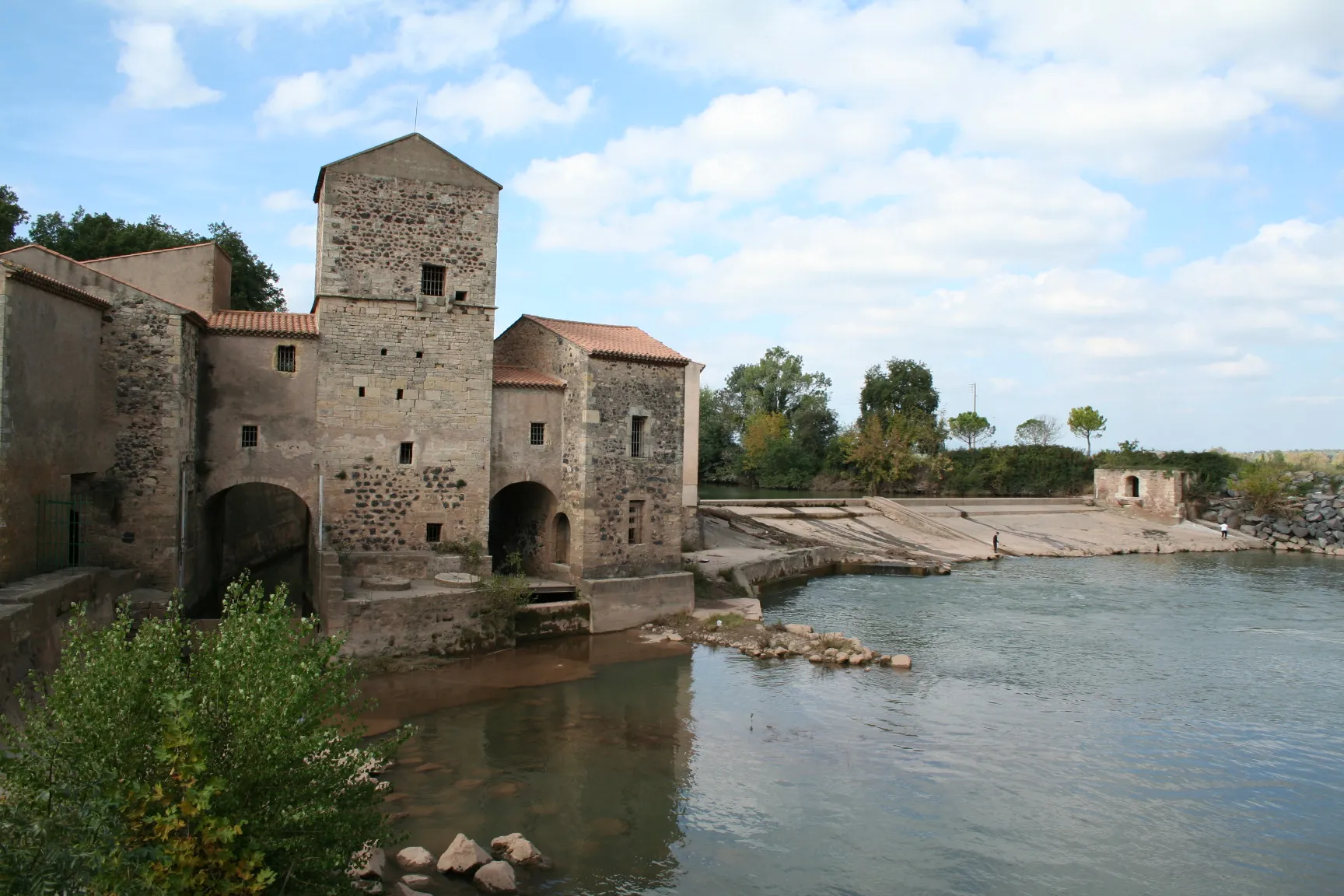
Saint-ThibéryVillageSaint-Thibéry is a picturesque village with an impressive church dating back to the 14th century. Take a moment to admire the architectural marvel before continuing on your journey.
37 km
37 km
Nézignan-l'ÉvêqueVillageNézignan-l'Évêque is known for its charming streets lined with beautiful old houses. Enjoy the peaceful ambiance as you pass through this quaint village.
46 km
46 km
AumesVillageAumes offers the chance to sample some exceptional local wines from the numerous vineyards in the area. Take a break and savor the flavors of the region.
46 km
46 km
lou Pigné102 mPeaklou Pigné is a hidden gem, an old stone bridge crossed by a small stream. Stop here for a picnic or simply relax and enjoy the tranquility of the surroundings.
58 km
58 km
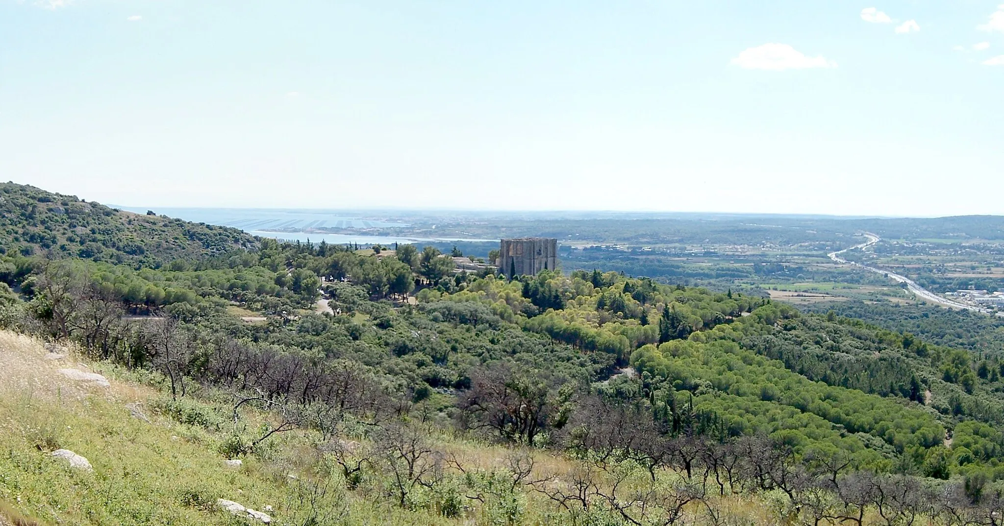
Table d'orientationViewpointTable d'orientation, your final destination, provides unparalleled panoramic views over the landscape. Rest and take in the stunning beauty before heading back.
63 km
63 km
Finish: Villeveyrac Village centerVilleveyrac: Embracing the beauty of Villeveyrac on two wheels
Cycling routes from Villeveyrac:
Gravel Route: Villeveyrac to Table d'orientation Gravel Route: Villeveyrac to Table d'orientation detour Road Route: Villeveyrac to Table d'orientation and Col du Vent Road Route: Villeveyrac to Table d'orientation through Abbey Valmagne Villeveyrac to Puilacher Loop Villeveyrac to Saint-Guilhem-le-Désert Loop Scenic Villeveyrac Road Cycling Loop Gravel Adventure Near Villeveyrac Picturesque Gravel Route from Villeveyrac Challenging Gravel Adventure from Villeveyrac
Cycling routes nearby: