Gravel Adventure in the Vosges Mountains
A gravel cycling route starting from Anould
An epic gravel cycling route through the beautiful Vosges Mountains
Map
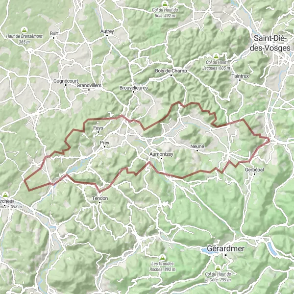
Embark on an exciting gravel adventure through the picturesque Vosges Mountains of Lorraine, France. This 85-kilometer route offers stunning landscapes, challenging climbs, and unique highlights along the way. With a total ascent of 1,632 meters, cyclists will be rewarded with breathtaking views and a memorable cycling experience. The route is perfect for experienced cyclists who enjoy off-road biking and exploring remote areas.
gravel
85 km
1632 m
Tough
Route profile
Highlights on the route
0 km
0 km
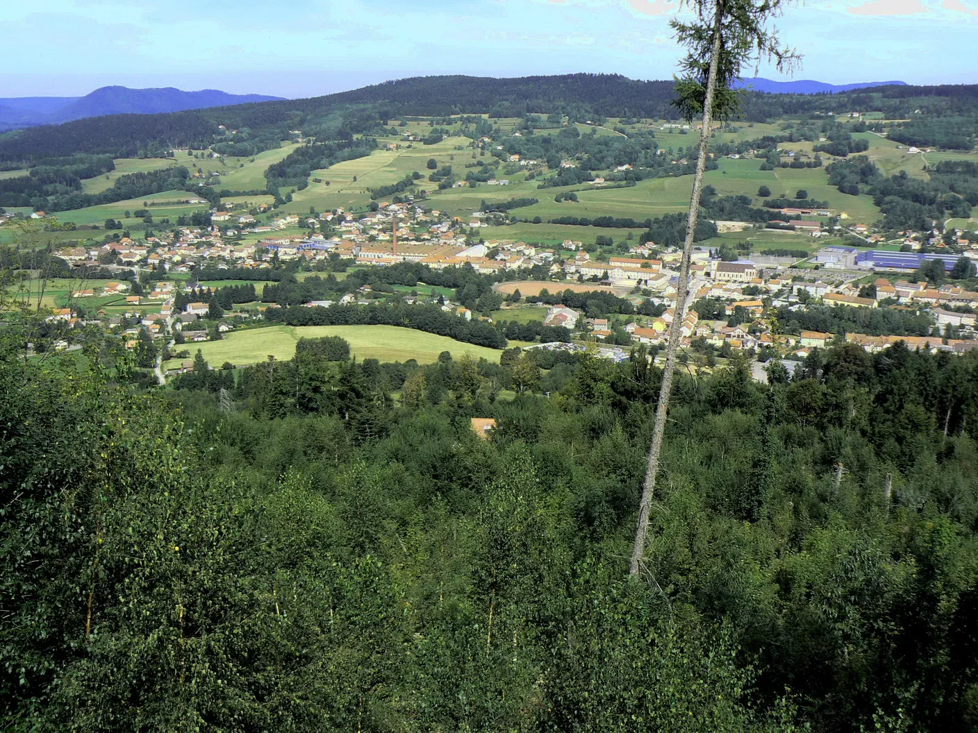
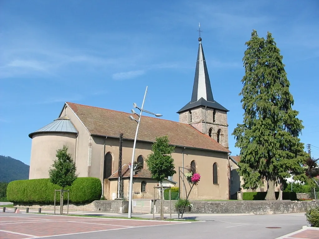
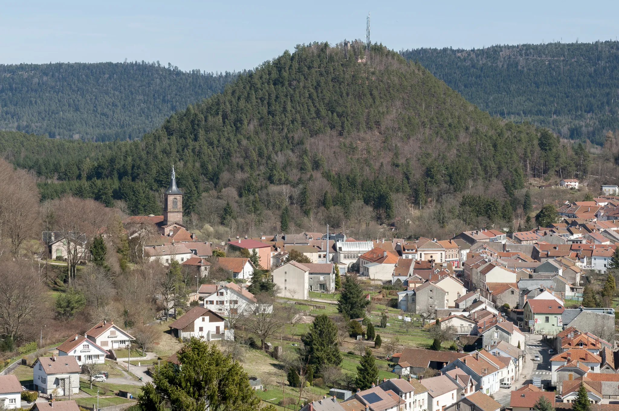
Start: Anould Village centerAnould: Anould: A cycling paradise in Lorraine
Anould, situated in Lorraine, France, is suitable for road and gravel cycling. The area features rolling hills and picturesque landscapes, offering enjoyable rides for cyclists. Additionally, the region is known for its cross-country trails, attracting mountain bikers as well. Cyclists can also venture to Col de Bonhomme, a famous climb nearby.3 km
3 km
Col du Plafond620 mMountain PassLocated at a distance of 3 kilometers on the route, Col du Plafond is a notable highlight. This mountain pass offers a thrilling climb and rewards cyclists with panoramic views of the surrounding mountains.
8 km
8 km
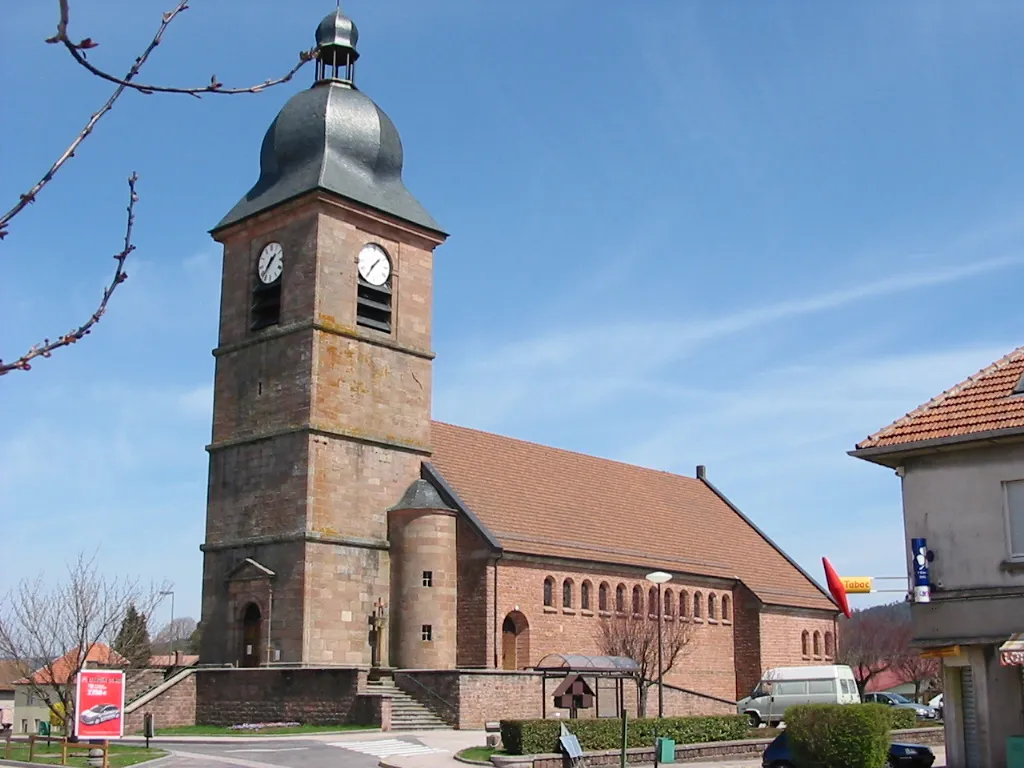
Arrentès-de-CorcieuxVillageAt 8 kilometers into the route, cyclists can enjoy a visit to Arrentès-de-Corcieux. This charming village is known for its historic architecture and offers a peaceful atmosphere for a quick rest or a coffee break.
22 km
22 km
Laleu Colline761 mPeakLaleu Colline, located 22 kilometers into the route, is a must-visit highlight. This hilltop offers a magnificent viewpoint overlooking the stunning Vosges Mountains, making it a perfect spot for a memorable photo.
30 km
30 km
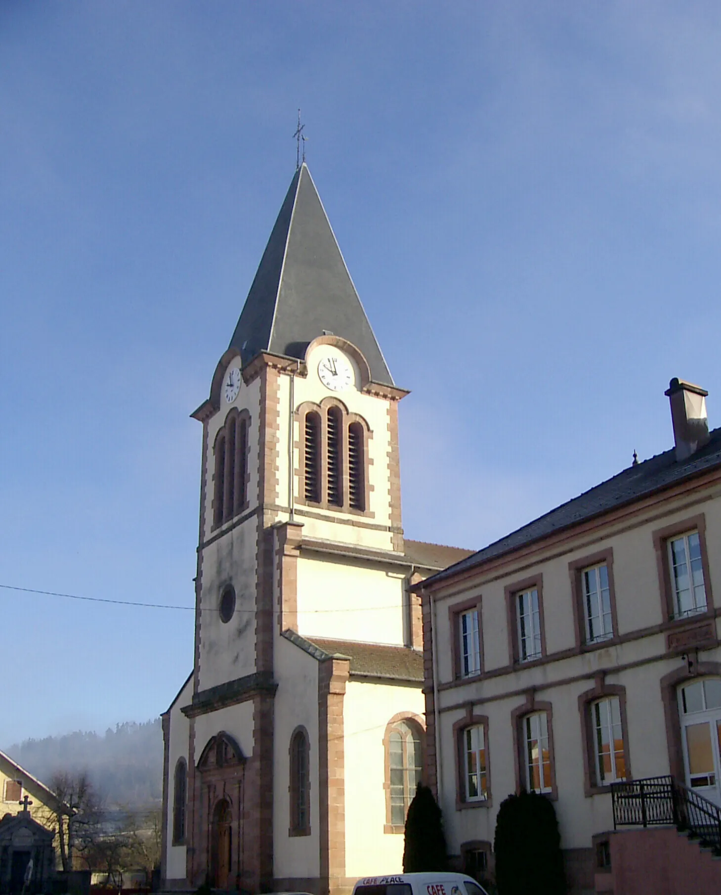
XamontaruptVillageXamontarupt, located 30 kilometers into the route, is a hidden gem. This small village charms cyclists with its traditional architecture and peaceful atmosphere, providing a unique insight into the local culture.
42 km
42 km
La BaffeVillageLa Baffe, at a distance of 42 kilometers on the route, offers a challenging climb accompanied by beautiful woodland scenery. This section of the route is a paradise for nature lovers and adventure seekers.
48 km
48 km
Tête du Fourneau554 mPeakTête du Fourneau, located 48 kilometers into the route, is a notable highlight. Cyclists can conquer this summit and be rewarded with breathtaking panoramic views of the Vosges Mountains.
59 km
59 km
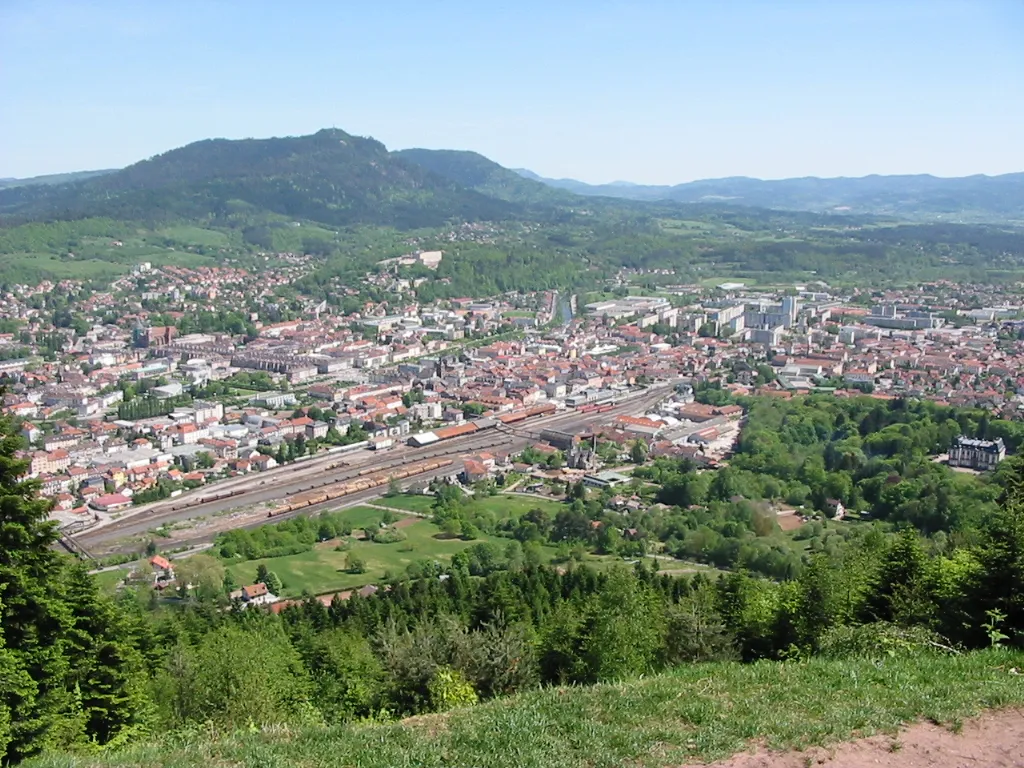
BruyèresVillageAt the 59-kilometer mark, cyclists will pass through Bruyères. While not a major highlight, it offers a charming atmosphere and opportunities to rest and refuel.
60 km
60 km
L'Avison593 mViewpointL'Avison, located 60 kilometers into the route, is a small village worth a quick visit. Although not particularly remarkable, it provides a short break from the cycling journey.
75 km
75 km
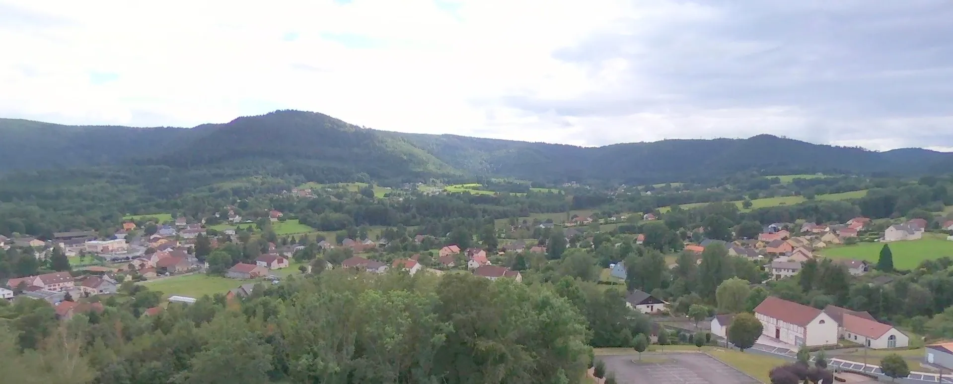
La HoussièreVillageLa Houssière, at a distance of 75 kilometers on the route, is a quaint village surrounded by beautiful natural landscapes. Cyclists can enjoy the tranquility and serenity of this hidden gem.
85 km
85 km
Finish: Anould Village centerAnould: Anould: A cycling paradise in Lorraine
Cycling routes from Anould:
Aventure across Wilderness The Forest Escape Through the Forests of Gerbépal Grand Boucle des Vosges Scenic Countryside and Mountain Passes Exploring Gravel Roads of Vosges The Vosges Peaks Challenge The Countryside Delight The Gravel Gems The Gravel Adventure Gravel Adventure in the Vosges Mountains
Cycling routes nearby: