Valley of Serenity
A gravel cycling route starting from Badonviller
Pedal through the valley scenery surrounding Badonviller
Map
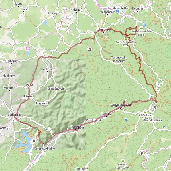
The Valley of Serenity route is a gravel cycling adventure that takes you through the picturesque valleys near Badonviller. With a total ascent of 1,347 meters and a distance of 77 kilometers, this route is ideal for gravel bikers looking for a challenging yet peaceful ride. Highlights along the way include Parux, Lafrimbolle, and the stunning Col de la Côte de l'Engin. Immerse yourself in the serene landscapes of the region and enjoy the tranquility that awaits around every corner.
gravel
77 km
1347 m
Tough
Route profile
Highlights on the route
0 km
0 km
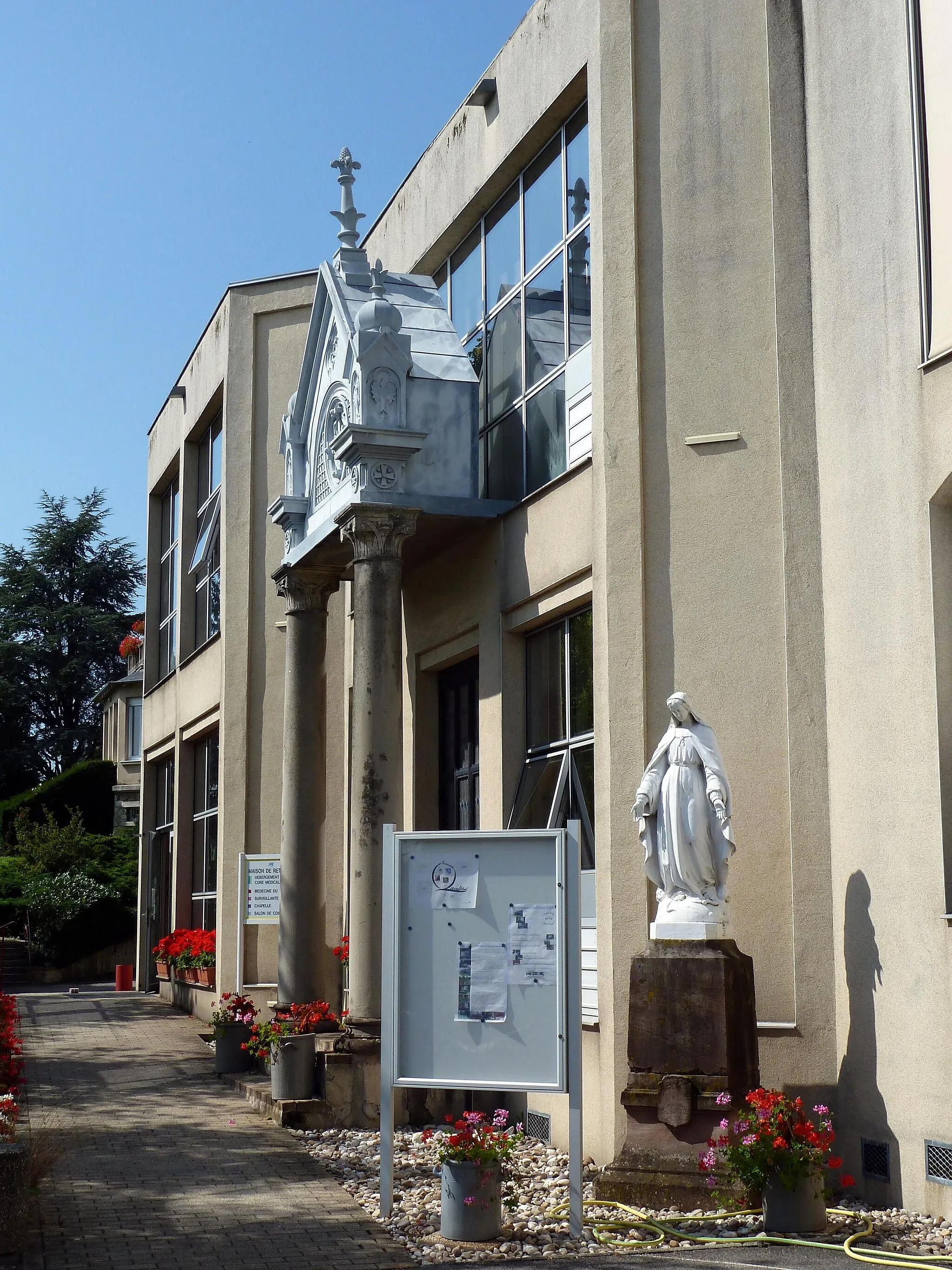
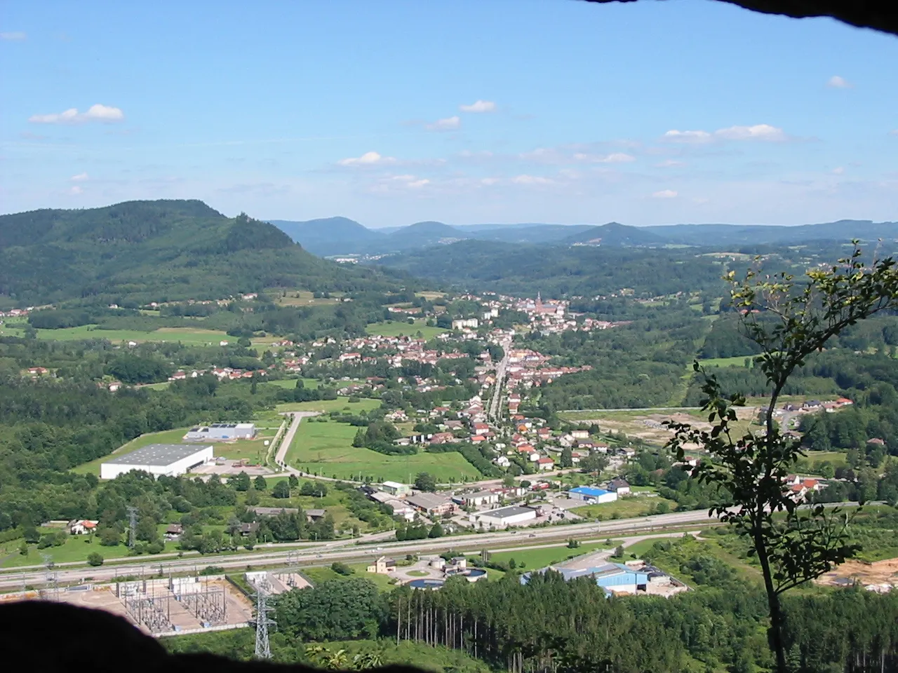
Start: Badonviller Village centerBadonviller: Cycling through the scenic countryside of Badonviller
Badonviller is a small town located in the Lorraine region of France. From a cyclist's perspective, the locality offers beautiful scenic routes with relatively quiet roads, making it an enjoyable experience for road and gravel cyclists. The rolling hills and countryside views provide a tranquil setting for cycling enthusiasts. While Badonviller may not be renowned for famous cycling spots or climbs, it is a great destination for those seeking peaceful rides through picturesque landscapes.5 km
5 km
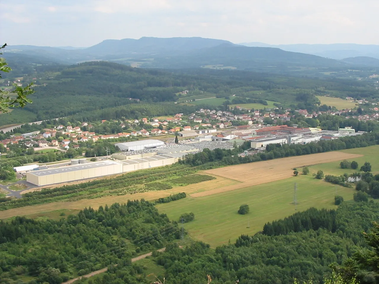
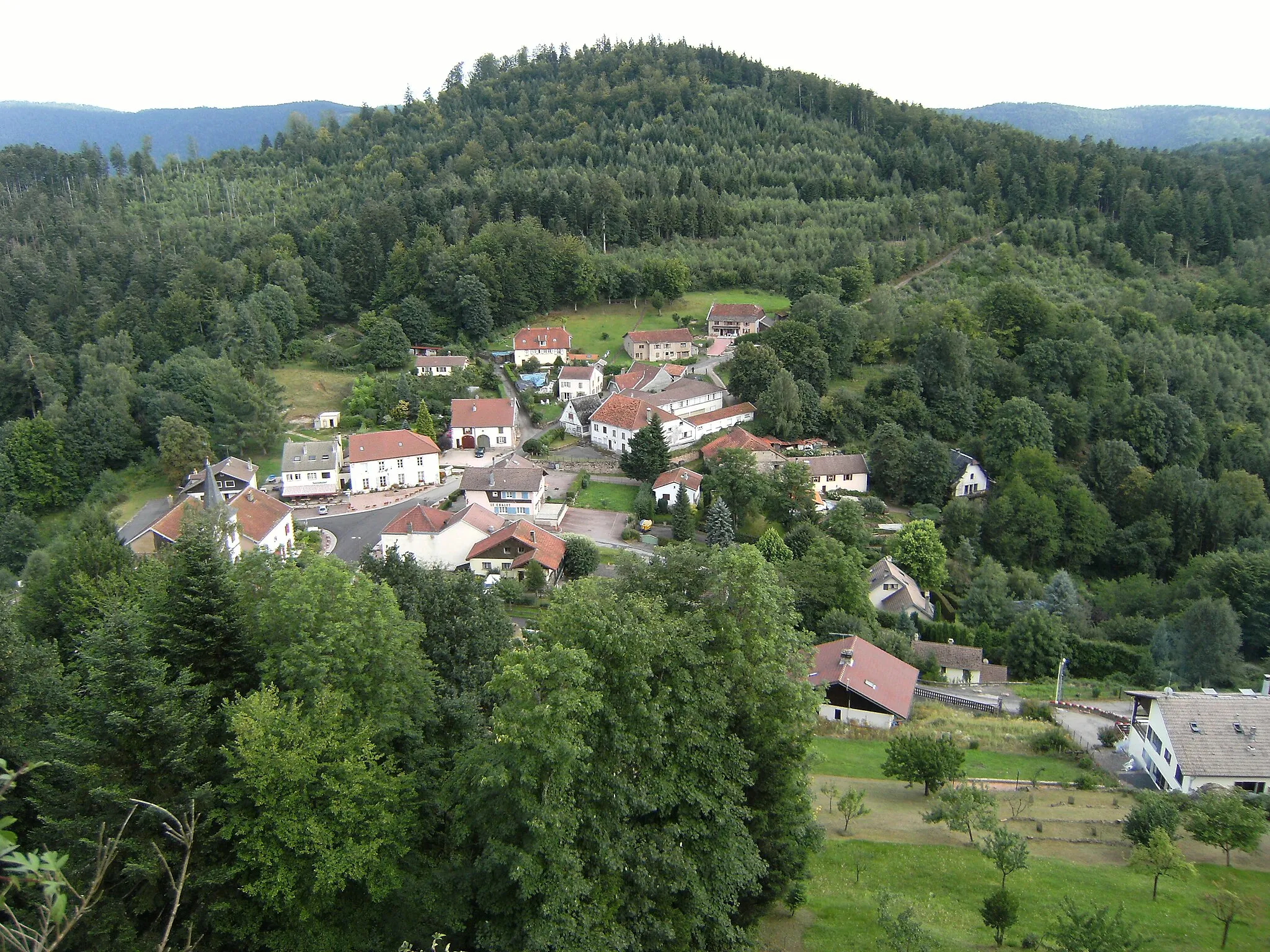
ParuxVillageParux - A small village with a peaceful ambiance and beautiful countryside views. Take a moment to embrace the tranquility of the surroundings.
17 km
17 km
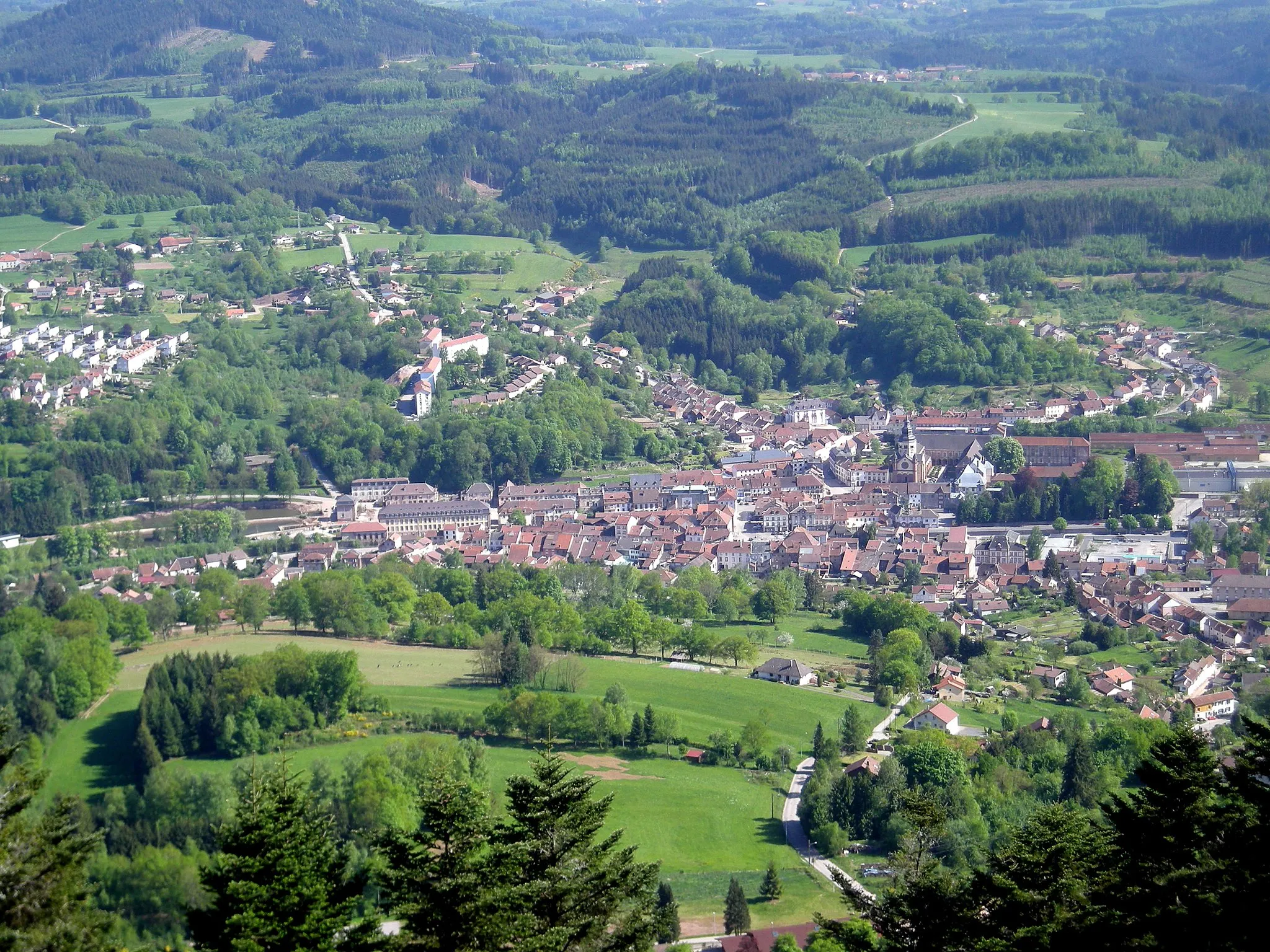
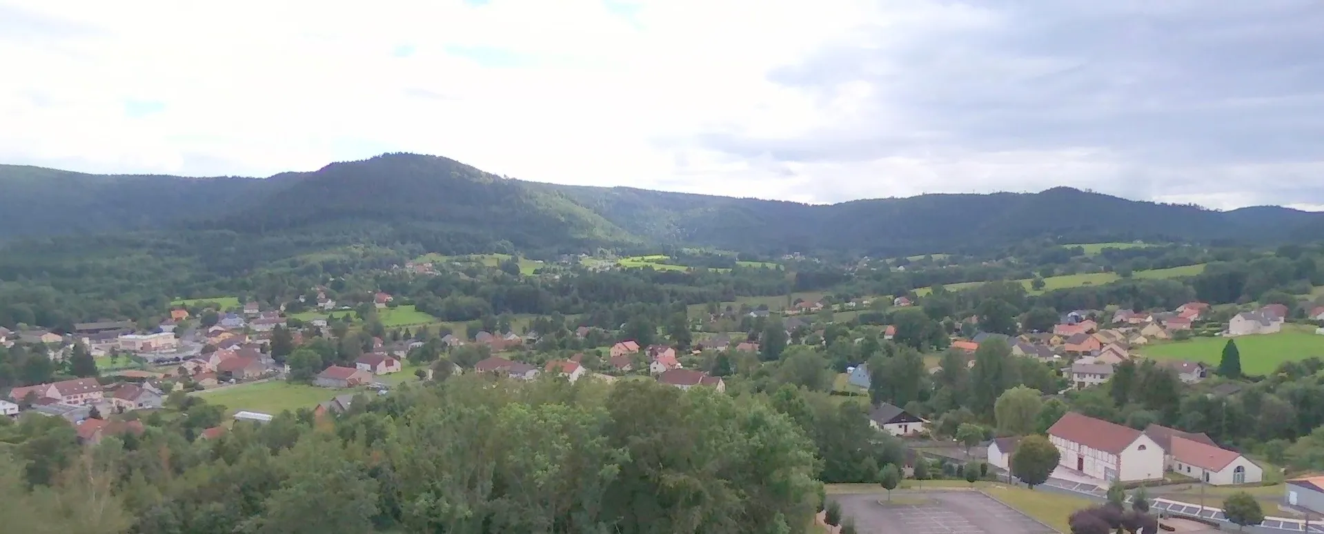
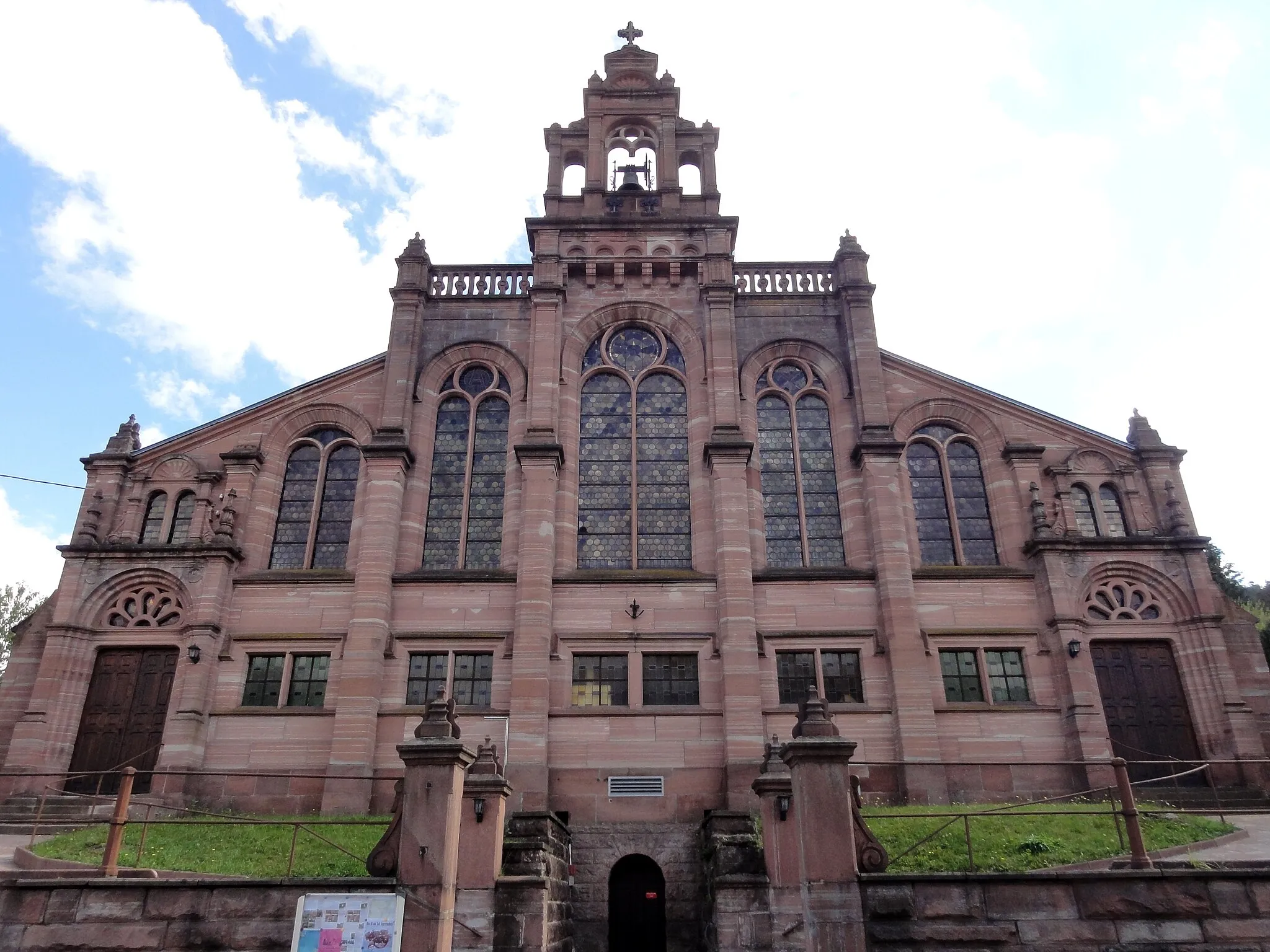
LafrimbolleVillageLafrimbolle - A charming village known for its picturesque landscapes and traditional architecture. Explore its streets and discover its hidden treasures.
46 km
46 km
Col de la Côte de l'Engin789 mMountain PassCol de la Côte de l'Engin - A challenging climb that rewards you with panoramic views of the valleys below. Push yourself to the limit and take in the stunning vistas.
55 km
55 km
Raon-sur-PlaineVillageRaon-sur-Plaine - A charming town with traditional houses and a vibrant atmosphere. Explore its streets and indulge in the warmth of the local culture.
70 km
70 km
Ortomont554 mPeakOrtomont - A hilltop village offering breathtaking panoramic views. Take a break here and witness the beauty of the surrounding landscapes.
77 km
77 km
Finish: Badonviller Village centerBadonviller: Cycling through the scenic countryside of Badonviller
Cycling routes from Badonviller:
Cycling routes nearby: