Gravel Adventure in the Vosges Mountains
A gravel cycling route starting from Corcieux
Embark on a thrilling gravel cycling adventure across the rugged terrain of the Vosges Mountains
Map
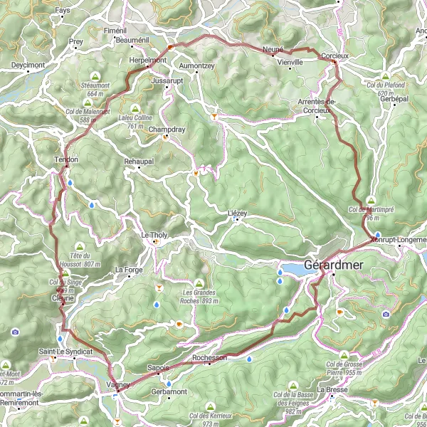
Get off the beaten path and explore the stunning natural landscapes of the Vosges Mountains on this challenging gravel cycling route. Covering a distance of 70 kilometers with an ascent of 1665 meters, this route is recommended for experienced cyclists. Prepare for steep climbs and rewarding descents as you navigate through remote forests and picturesque valleys.
gravel
70 km
1665 m
Tough
Route profile
Highlights on the route
0 km
0 km
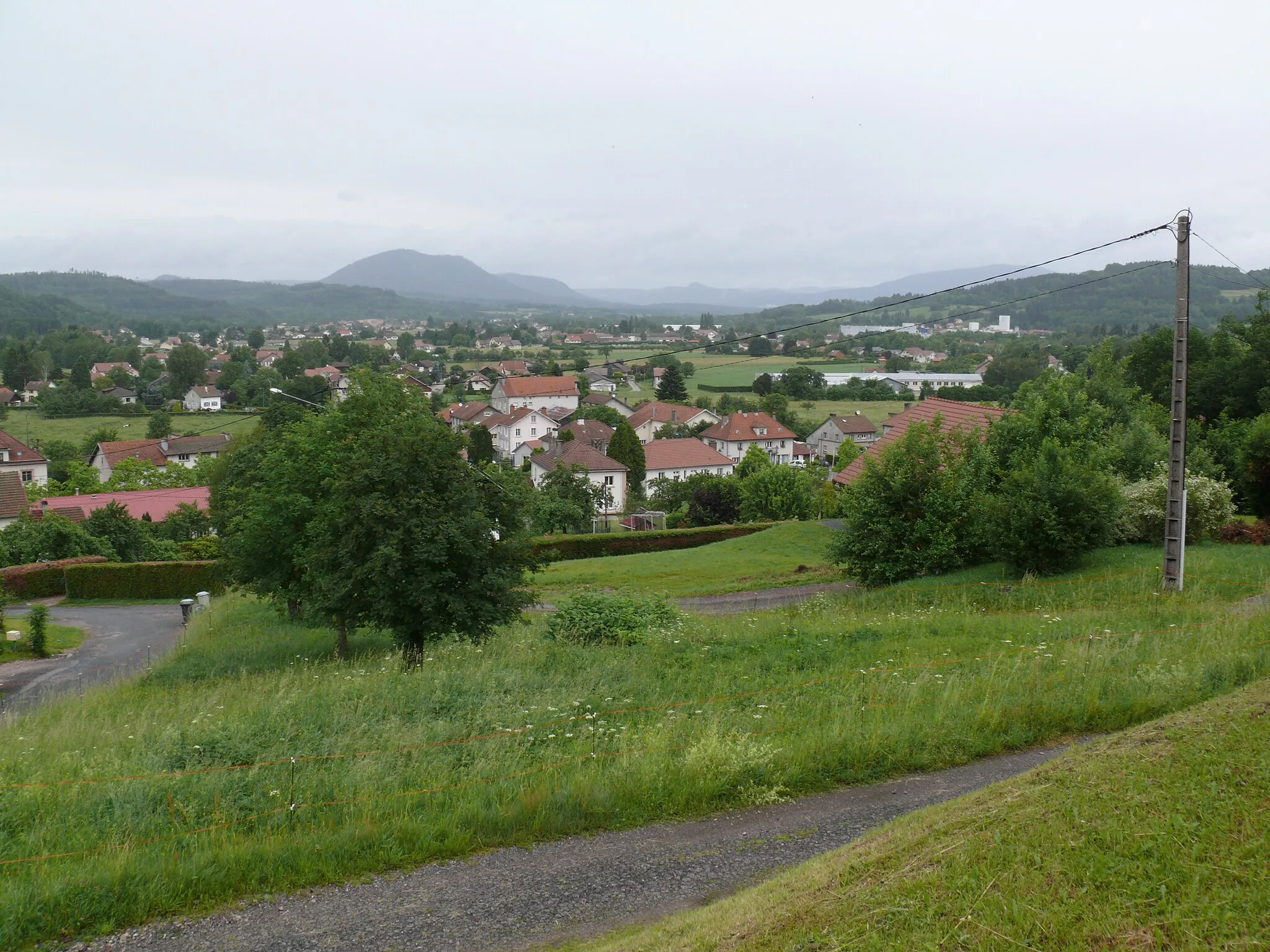
Start: Corcieux Village centerCorcieux: A peaceful base for exploring the Vosges mountains and its scenic cycling routes.
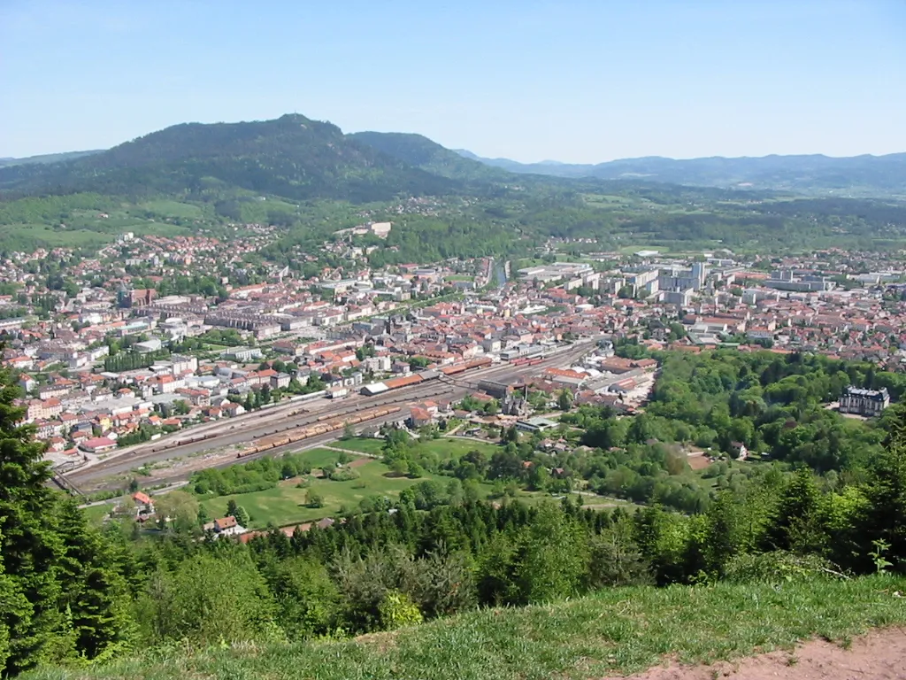
Corcieux is a small town situated in the Lorraine region of France. From a cyclist's perspective, the area around Corcieux offers a mix of flat and hilly roads, providing a range of cycling options for riders of different abilities. The roads are generally well-maintained and there are designated bike lanes in some areas. While Corcieux may not have any famous cycling-related spots, it serves as a convenient base for exploring the Vosges mountains, which offer some challenging climbs and scenic routes. With its peaceful atmosphere and cycling-friendly infrastructure, Corcieux is a decent option for cyclists looking to explore the Lorraine region on two wheels.6 km
6 km
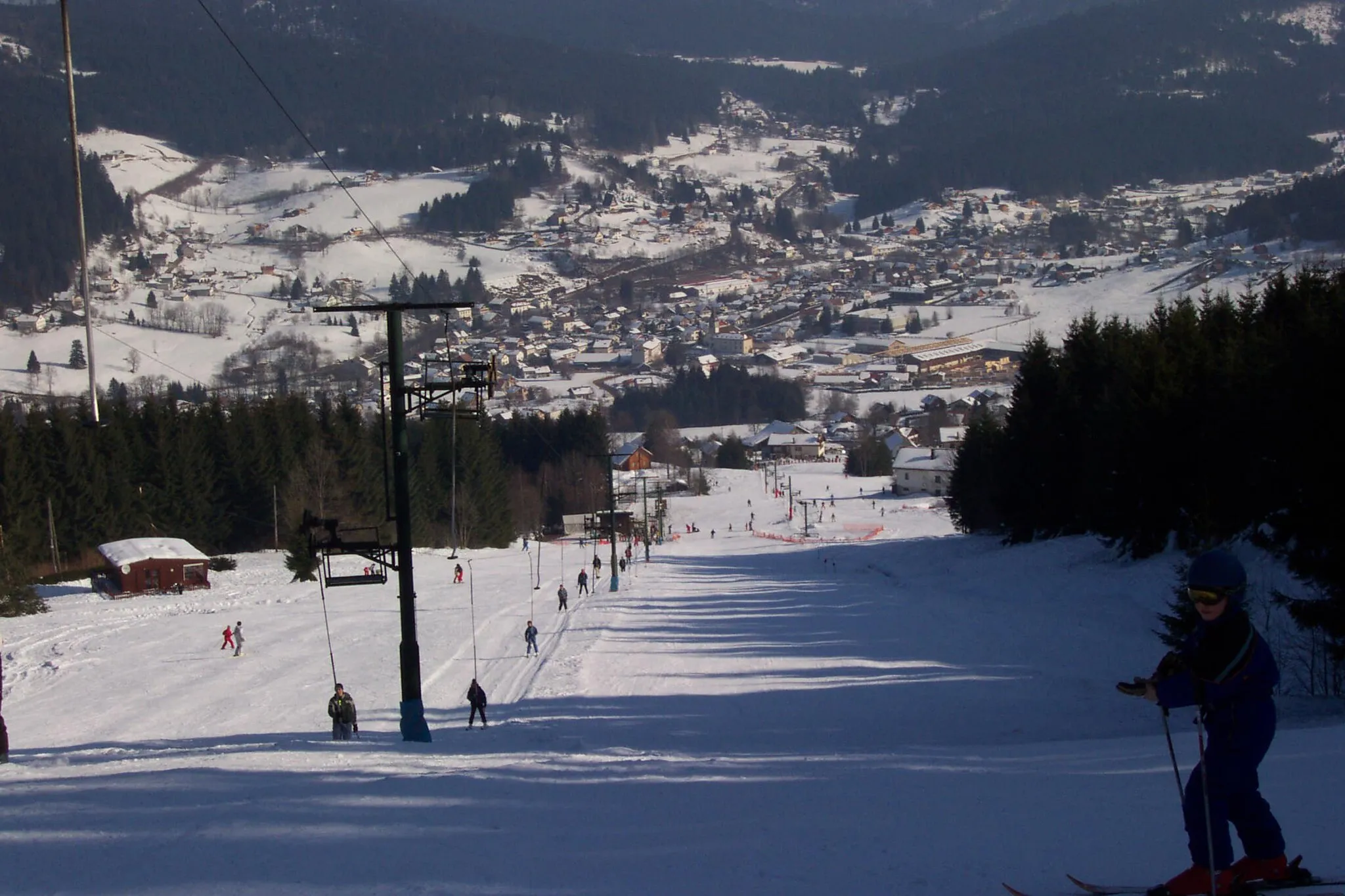
Tête de Nayemont967 mPeak ViewpointTête de Nayemont offers breathtaking views of the Vosges mountains and is a popular spot for paragliding.
12 km
12 km
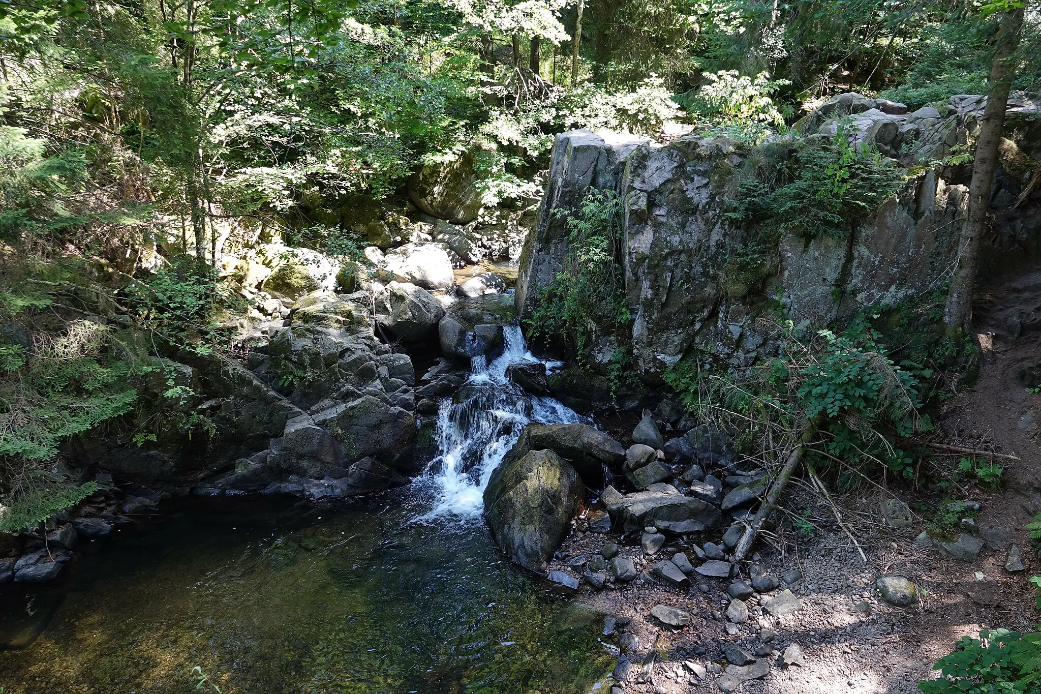
Saut des CuvesWaterfallSaut des Cuves is a series of waterfalls and rocky pools where you can take a refreshing swim.
22 km
22 km
Col de Sapois833 mMountain PassCol de Sapois is a challenging climb that rewards cyclists with panoramic vistas of the surrounding valleys.
27 km
27 km
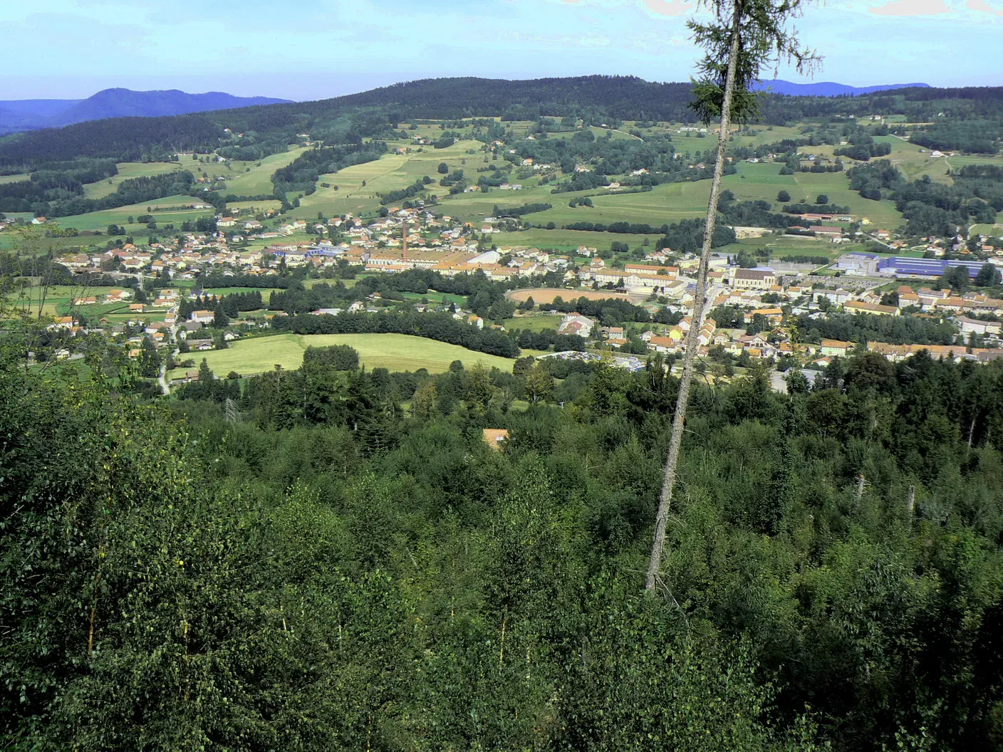
RochessonVillageRochesson is a peaceful village nestled in the heart of the Vosges Mountains, perfect for a well-deserved rest.
40 km
40 km
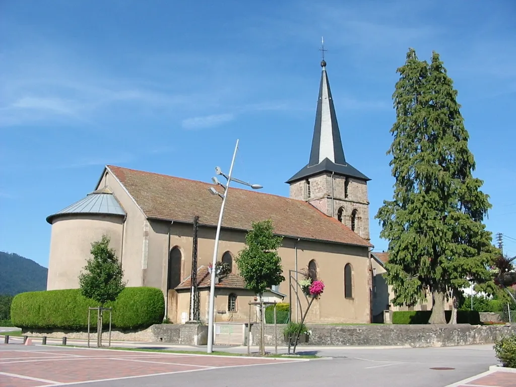
CleurieVillageCleurie is a charming village known for its traditional wooden houses and flower-filled streets.
43 km
43 km
Col du Singe729 mMountain PassCol du Singe, or Monkey Pass, gets its name from the winding road that resembles a monkey's tail.
48 km
48 km
La BrostilleViewpointLa Brostille is a historic fortress that offers panoramic views of the surrounding countryside.
50 km
50 km
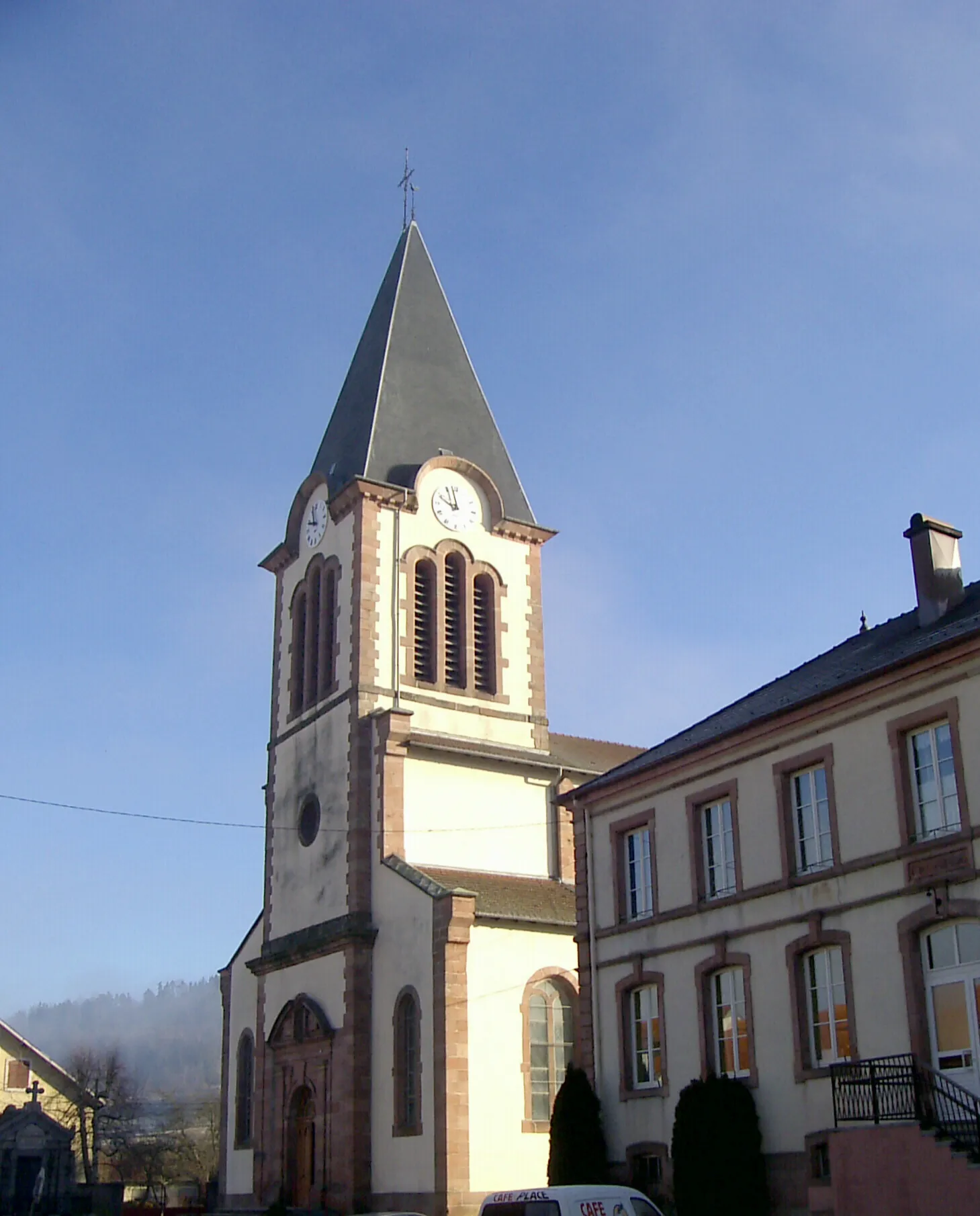
TendonVillageTendon is a picturesque village with a beautiful church and several charming restaurants.
58 km
58 km
HerpelmontVillageHerpelmont is a small hamlet surrounded by lush green meadows and rolling hills.
67 km
67 km
VienvilleVillageVienville is a tranquil village known for its stunning lake and peaceful atmosphere.
70 km
70 km
Finish: Corcieux Village centerCorcieux: A peaceful base for exploring the Vosges mountains and its scenic cycling routes.
Cycling routes from Corcieux:
A Scenic Journey through Corcieux Discovering the Vosges on Two Wheels Adventure on the Gravel Paths of Lorraine Challenging Road Cycling Loop through Vosges Gravel Adventure in the Vosges Mountains Exploring the Beautiful Corcieux Region Epic Gravel Adventures in the Vosges Gravel Adventure in the Vosges Mountains Scenic Gravel Route through Vosges and Beyond Legendary Road Cycling Tour of the Vosges
Cycling routes nearby: