Picardie Gravel Adventure
A gravel cycling route starting from Le Plessis-Belleville
Get off the beaten path and explore the beautiful gravel roads of Picardie
Map
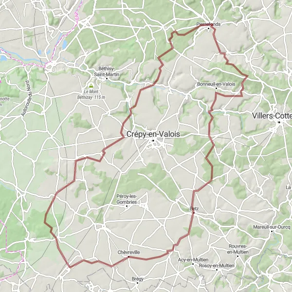
This gravel route takes you through the stunning landscapes of Picardie, where you'll encounter charming villages, rolling hills, and peaceful forests. The route offers a good balance between challenging ascents and enjoyable descents, making it suitable for experienced cyclists looking for a thrilling adventure. With a distance of 96 kilometers and an ascent of 894 meters, this route will push your limits and reward you with breathtaking views along the way. Overall, it's a unique and distinctive cycling experience that showcases the natural beauty of Picardie.
gravel
96 km
894 m
Tough
Route profile
Highlights on the route
0 km
0 km
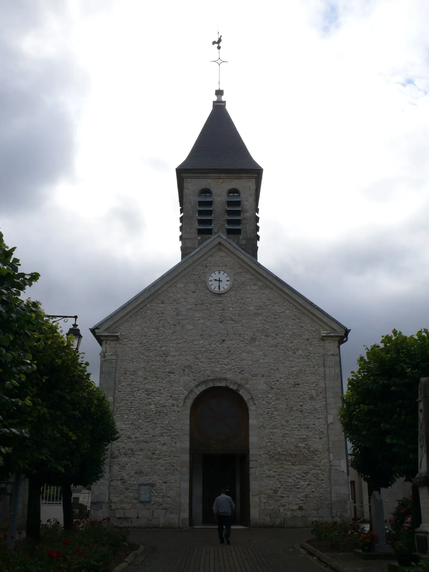
Start: Le Plessis-Belleville Village centerLe Plessis-Belleville: Cycling paradise in Picardie
Le Plessis-Belleville, located in the region of Picardie, France, is a great locality for road and gravel cycling. The town is surrounded by beautiful countryside, with rolling hills and quiet roads that make for enjoyable rides. Cyclists can explore the nearby Forêt d'Ermenonville, which offers a variety of off-road trails. One of the famous cycling-related spots in the area is the Château de Chantilly, known for its horse racing events and cycling races. Overall, Le Plessis-Belleville offers a scenic and cyclist-friendly environment, making it a popular destination for both locals and tourists.15 km
15 km
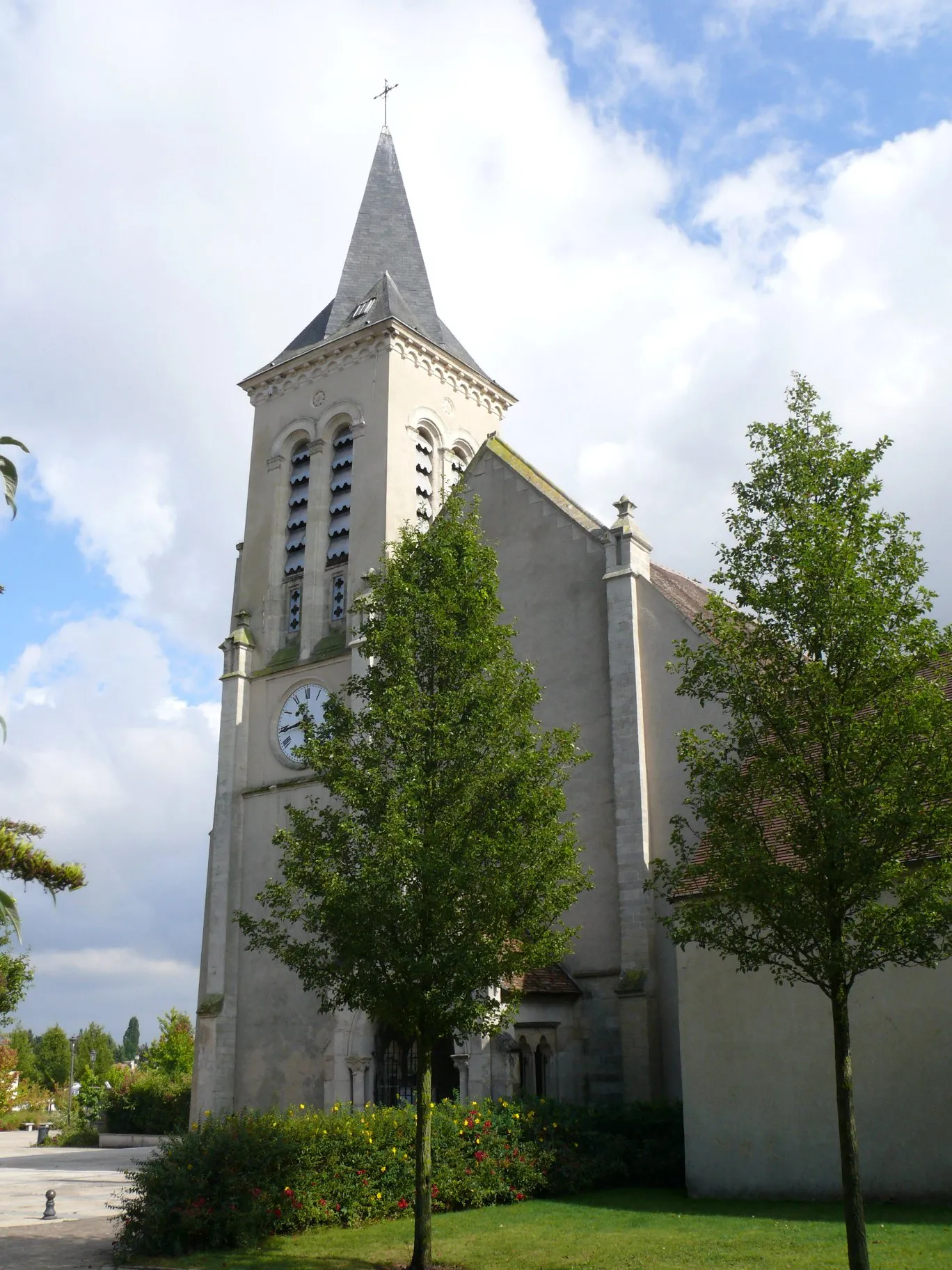
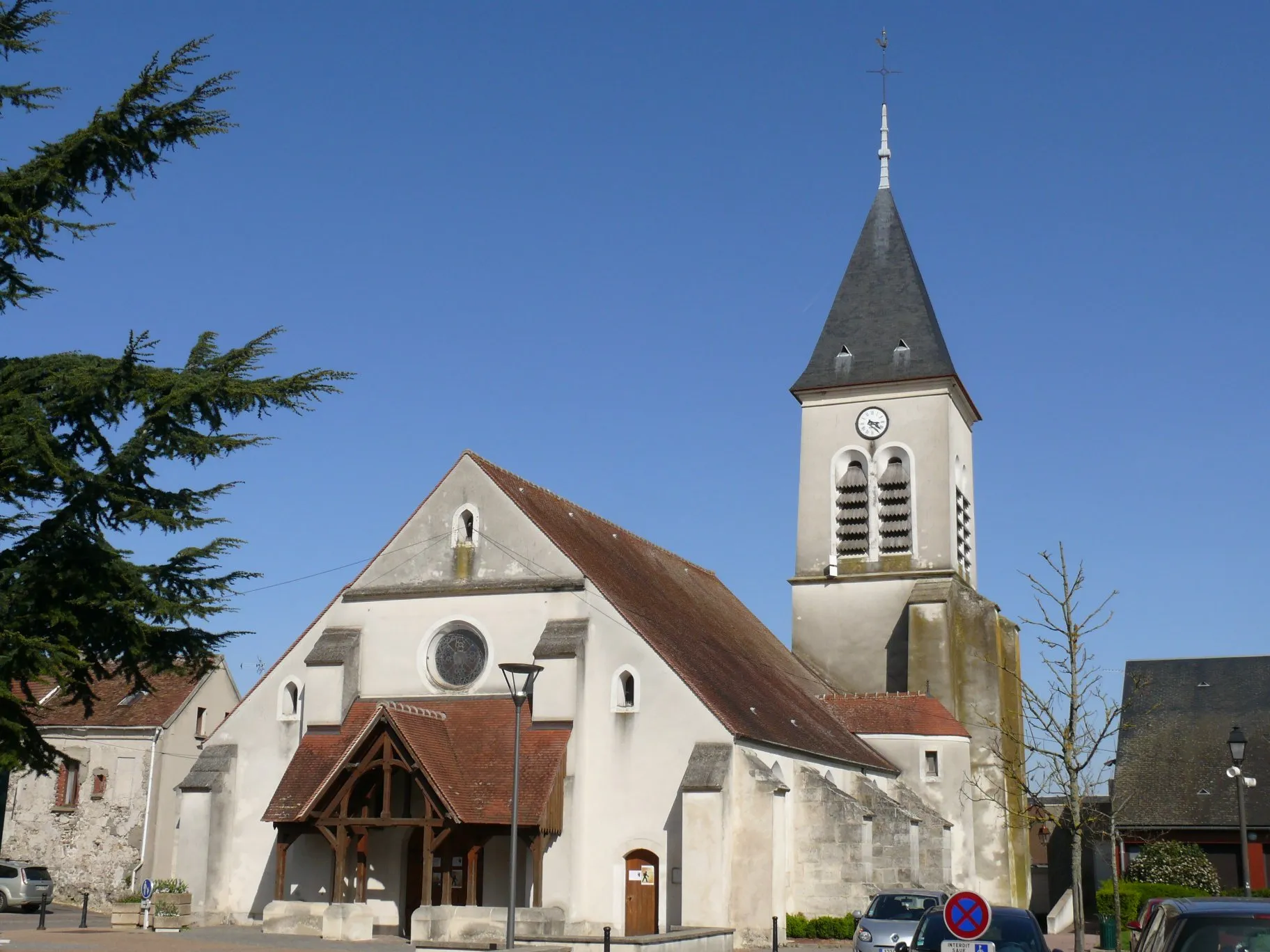
Fresnoy-le-LuatVillageExplore the historic village of Fresnoy-le-Luat, known for its picturesque streets and traditional architecture.
31 km
31 km
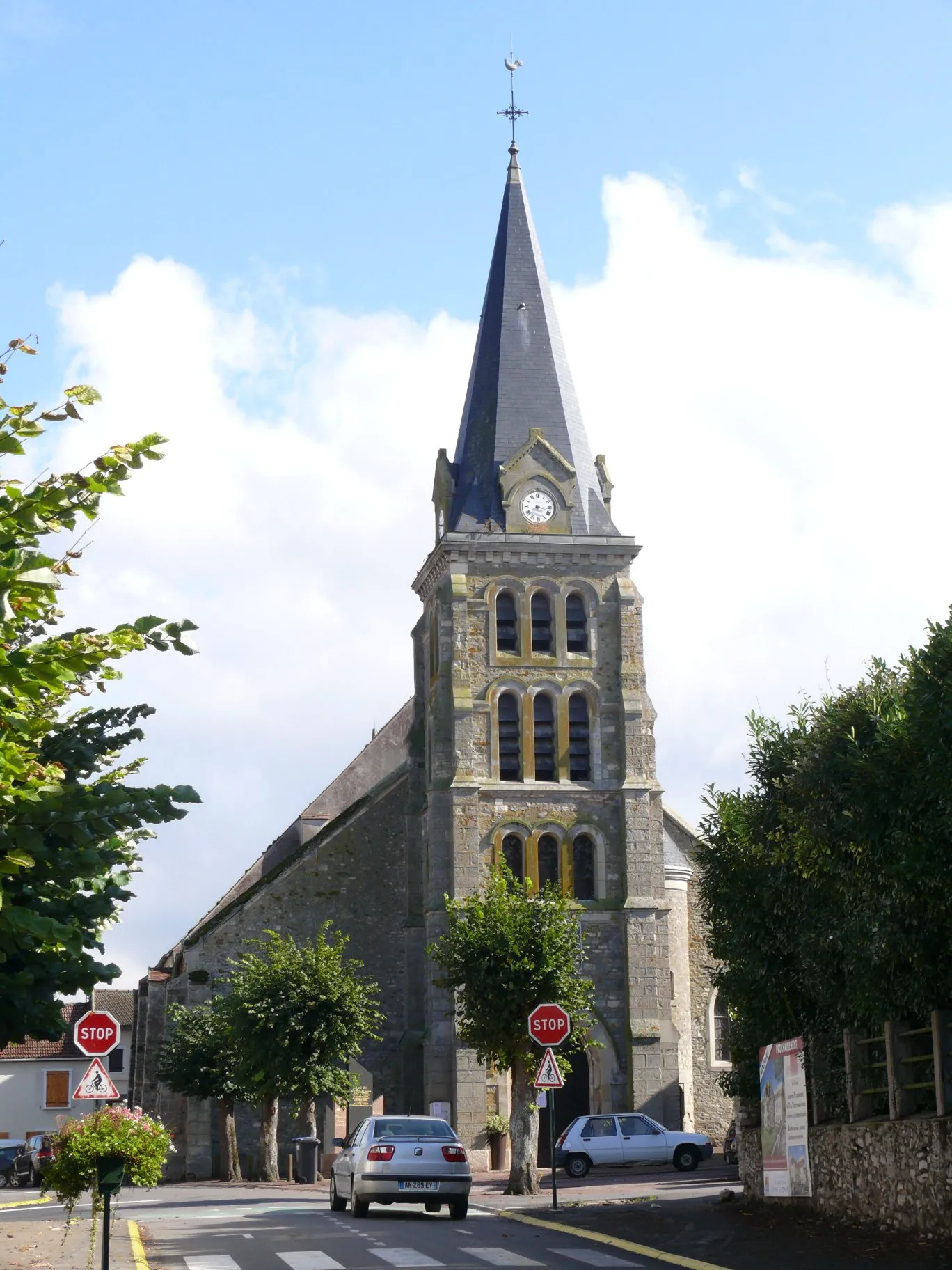
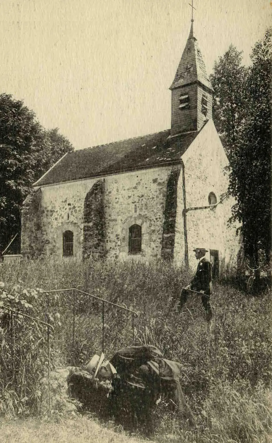
GilocourtVillagePass through Gilocourt, a tranquil village surrounded by beautiful fields and meadows.
43 km
43 km
Mont du Voliard131 mPeakClimb Mont du Voliard and enjoy panoramic views of the surrounding countryside from its summit.
44 km
44 km
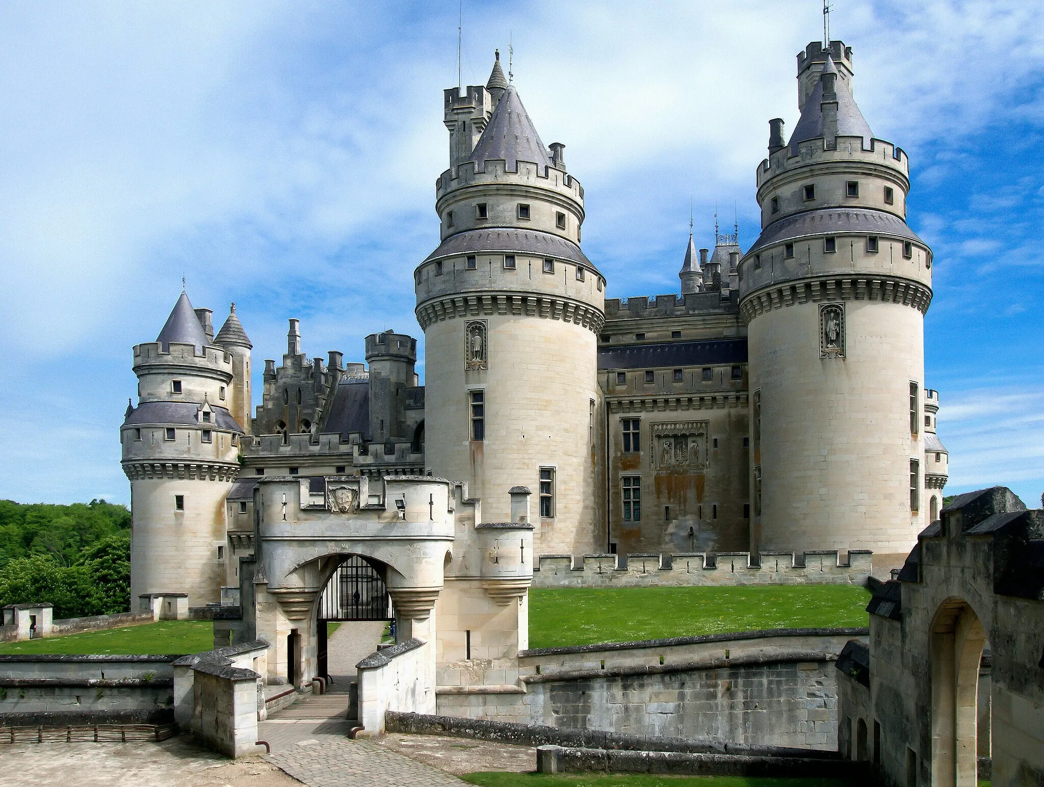
PierrefondsVillageVisit the magnificent Pierrefonds Castle, an architectural gem and a testament to medieval craftsmanship.
66 km
66 km
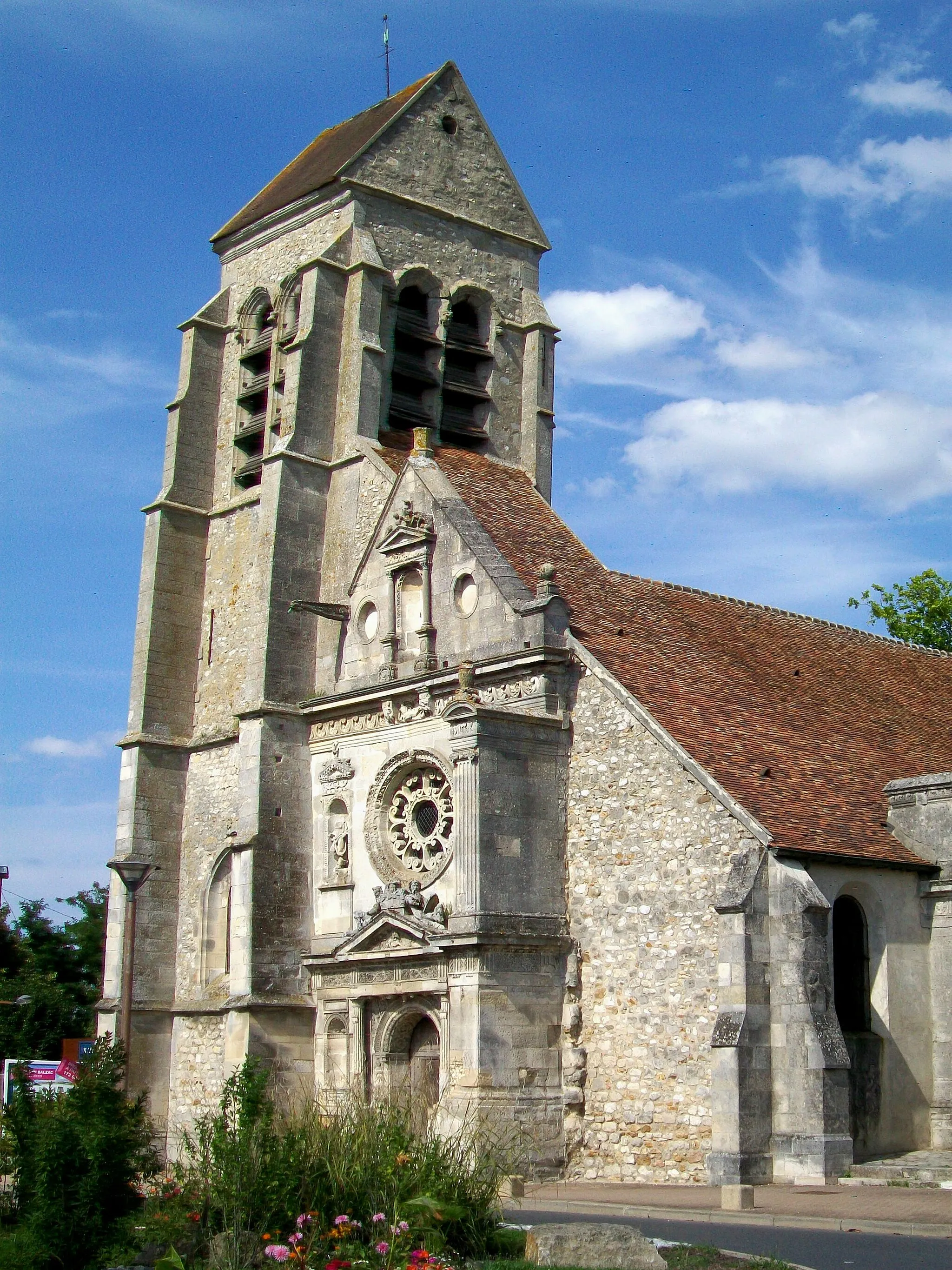
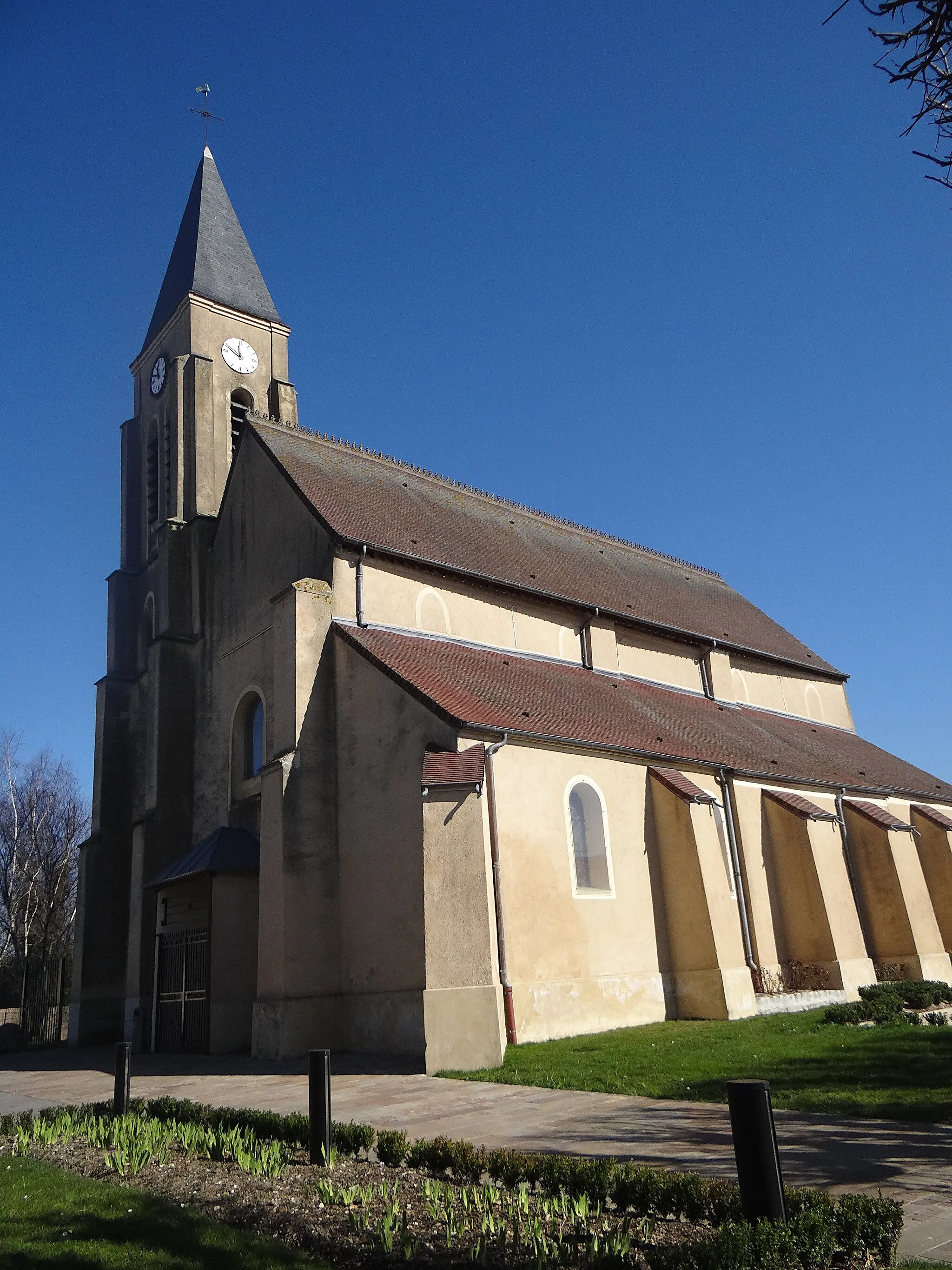
VaumoiseVillageCycle through Vaumoise and admire its charming stone houses and peaceful atmosphere.
83 km
83 km
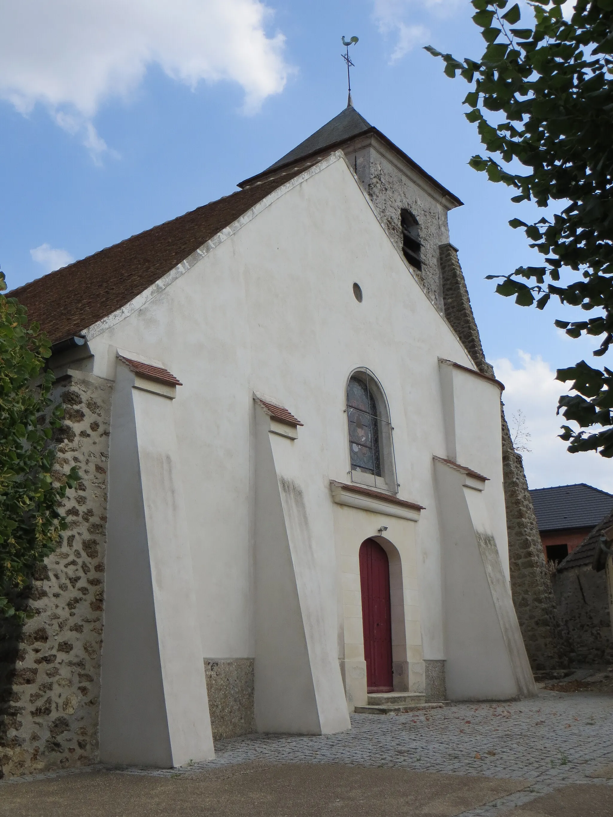
BouillancyVillageDiscover Bouillancy, a quaint village dotted with traditional cottages and surrounded by lush greenery.
94 km
94 km
Silly-le-LongVillagePass through Silly-le-Long and enjoy the tranquility of its rural setting.
96 km
96 km
Finish: Le Plessis-Belleville Village centerLe Plessis-Belleville: Cycling paradise in Picardie
Cycling routes from Le Plessis-Belleville:
Picardie Gravel Escape Exploring the Suburbs Through Trumilly and Bouillancy Picardie Gravel Adventure Countryside Retreat Around Othis The Valois Adventure Spotting the Best of Vémars and Tiger Express Scenic Ride to Silly-le-Long Tour de Picardie Othis - Orry-la-Ville - Avilly-Saint-Léonard - Ermenonville Ermenonville - Mont-l'Évêque - Verberie - Béthisy-Saint-Pierre - Nanteuil-le-Haudouin - Le Plessis-Belleville Montagny-Sainte-Félicité - Montépilloy - Saintines - Glaignes - Nanteuil-le-Haudouin - Le Plessis-Belleville Dammartin-en-Goële - Spotting location - Fontenay-en-Parisis - Gouvieux - Avilly-Saint-Léonard - Borest - Ermenonville
Cycling routes nearby: