Fleurines to Senlis Road Loop
A road cycling route starting from Villers-sous-Saint-Leu
A pleasant road cycling route from Fleurines to Senlis.
Map
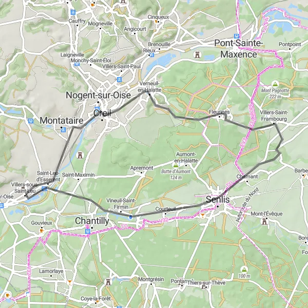
Enjoy a pleasant road cycling experience on this scenic route from Fleurines to Senlis. With a distance of 47 kilometers and an ascent of 361 meters, this route is suitable for amateur cyclists seeking a moderate challenge. Highlights include the charming town of Fleurines, known for its captivating countryside views, and the picturesque Pont de Saint-Leu, offering a stunning viewpoint of the surrounding landscape.
road
47 km
361 m
Chill
Route profile
Highlights on the route
0 km
0 km
Start: Villers-sous-Saint-Leu Village centerVillers-sous-Saint-Leu: Cycling through serene countryside in Picardie.
Villers-sous-Saint-Leu is located in the Picardie region of France and offers a pleasant cycling experience for road and gravel cyclists. The locality is surrounded by beautiful countryside, featuring lush green fields and charming villages. Cyclists can enjoy riding on the well-maintained roads, which offer relatively flat terrain with occasional gentle slopes. While there are no famous cycling spots or well-known climbs directly in Villers-sous-Saint-Leu, the region's proximity to Paris allows for further cycling opportunities. Overall, Villers-sous-Saint-Leu is a picturesque destination for cyclists looking to immerse themselves in the peaceful French countryside.1 km
1 km
Saint-Leu-d'EsserentVillage9 km
9 km
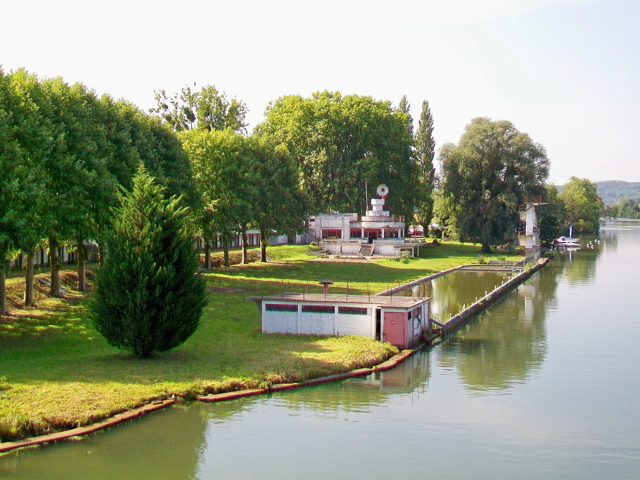
Nogent-sur-OiseTownNogent-sur-Oise is a historic town with beautiful architecture and a scenic river.
19 km
19 km
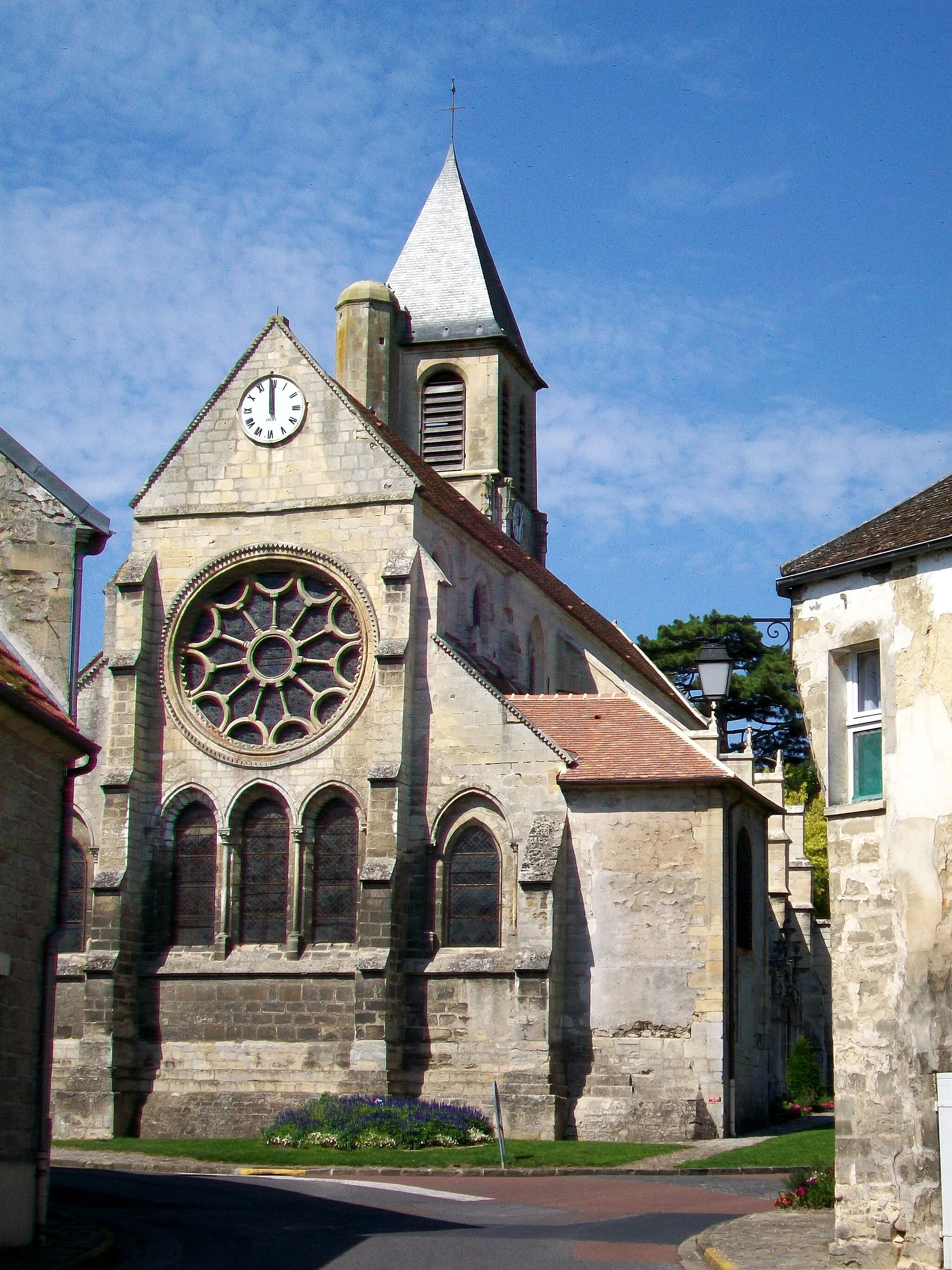
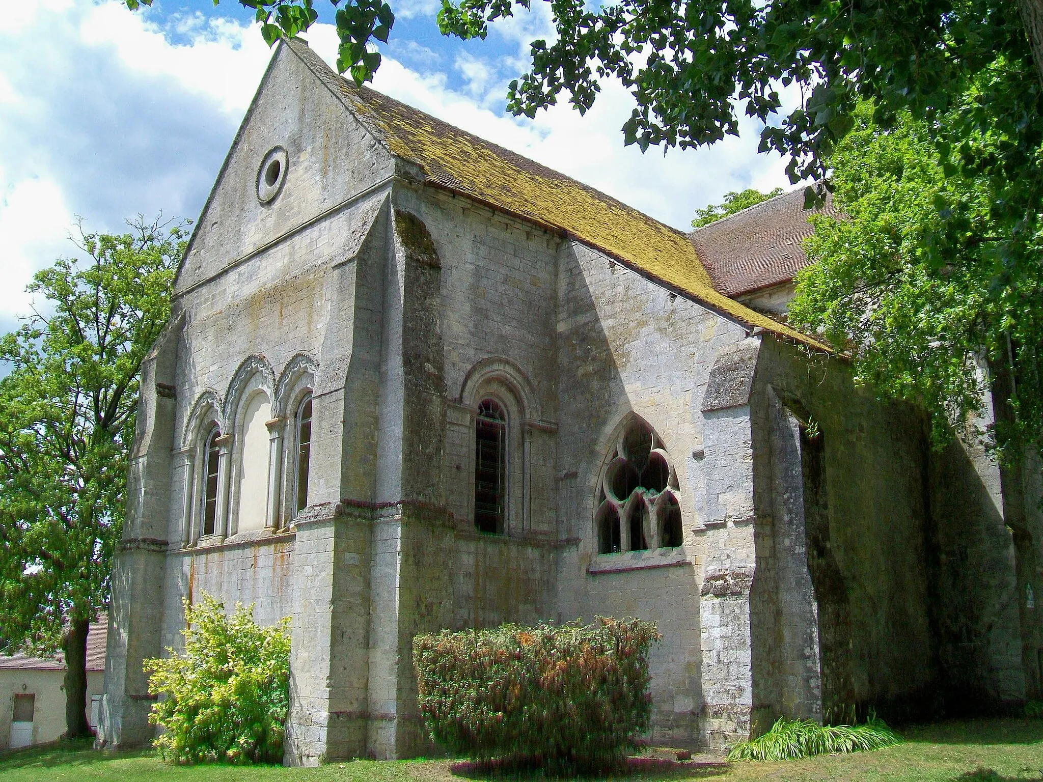
FleurinesVillageFleurines offers picturesque landscapes and is a charming village worth exploring.
32 km
32 km
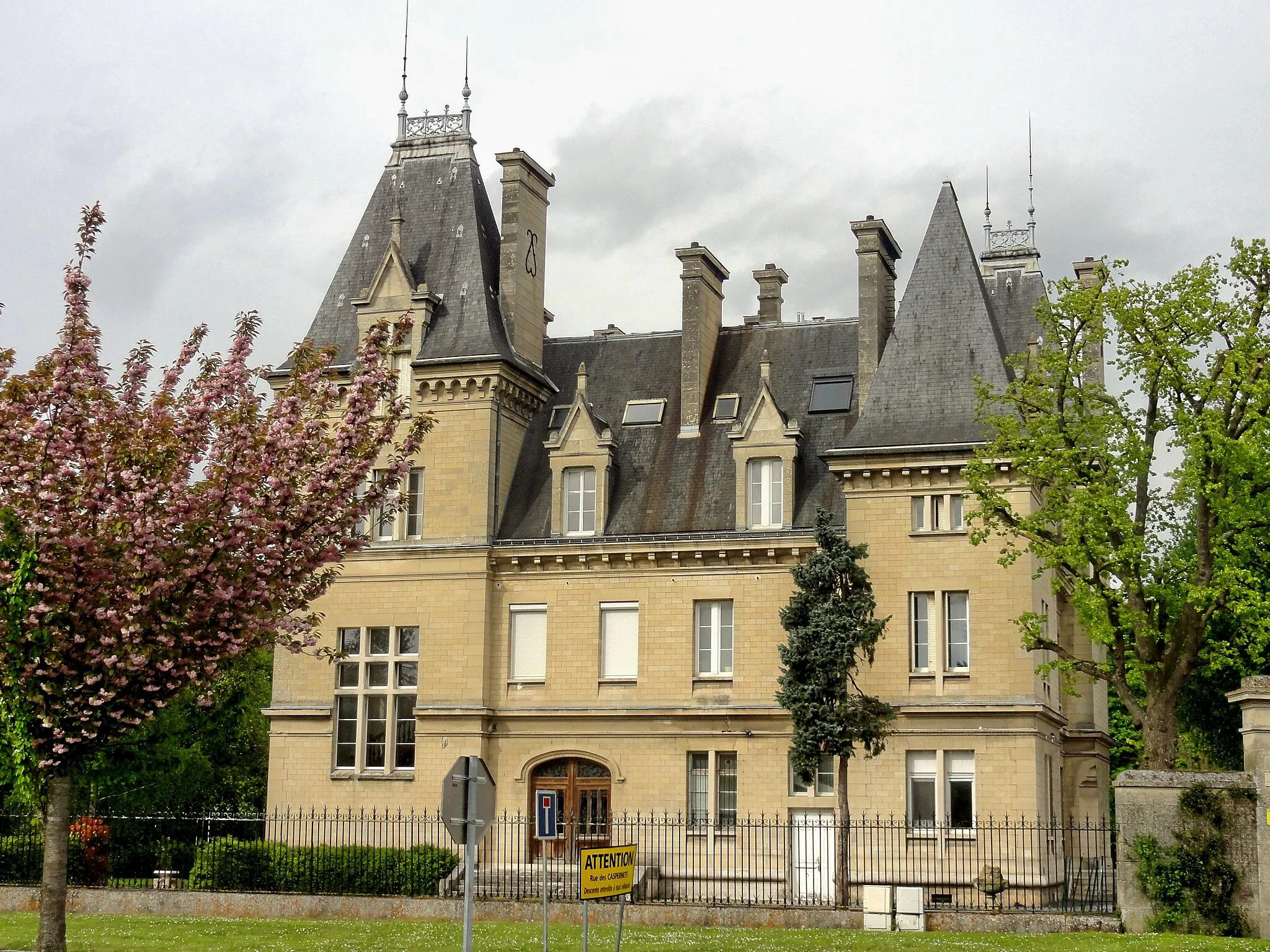
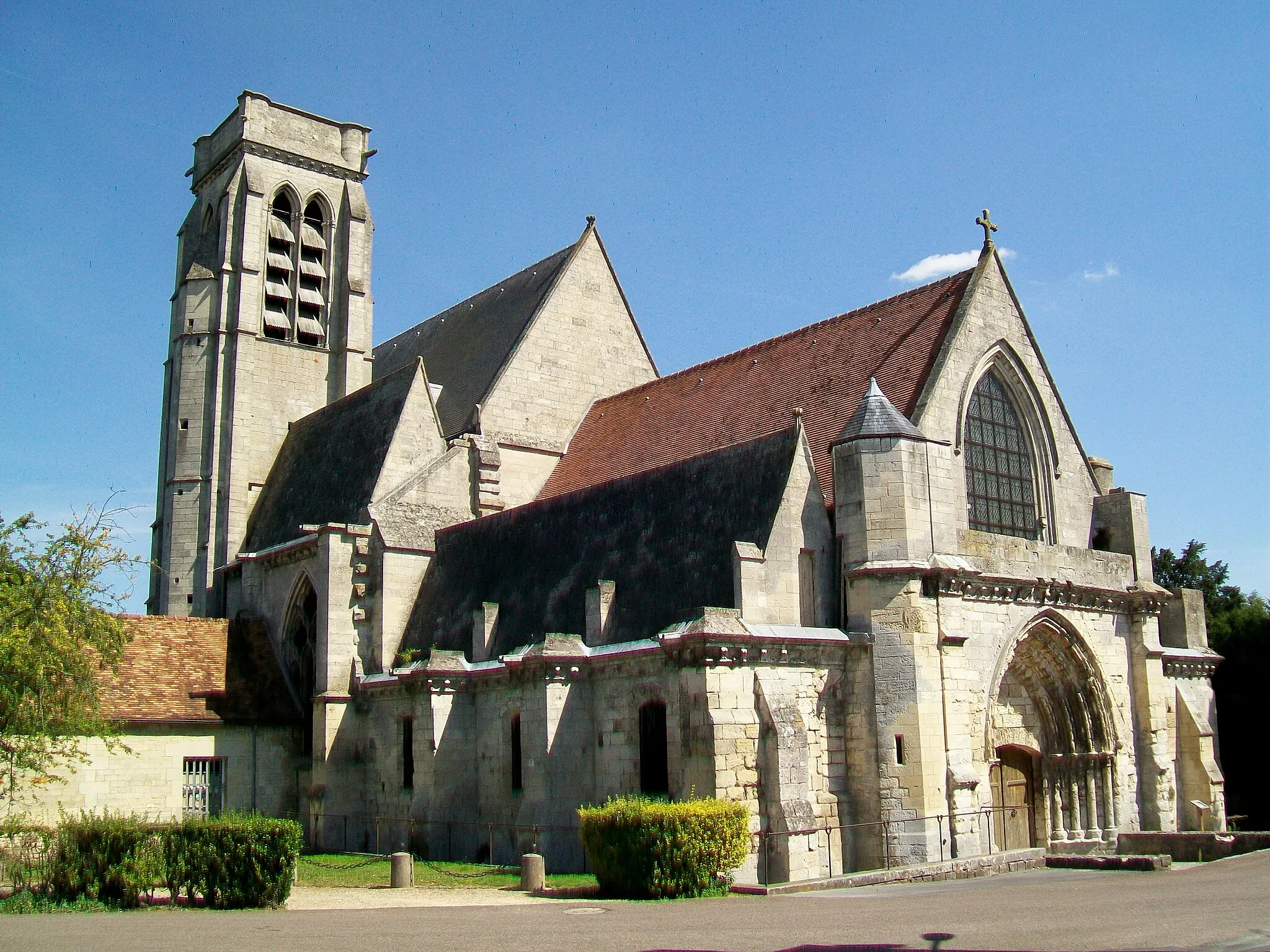
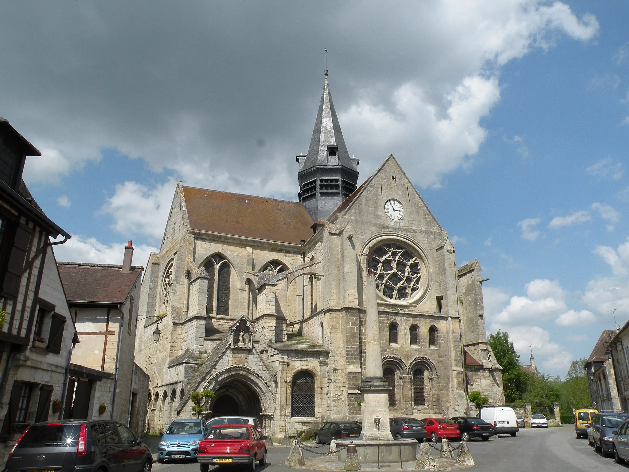
SenlisTownSenlis is a medieval town with well-preserved architecture, including its famous cathedral.
39 km
39 km
Vineuil-Saint-FirminVillageVineuil-Saint-Firmin is a picturesque village surrounded by beautiful forests and fields.
44 km
44 km
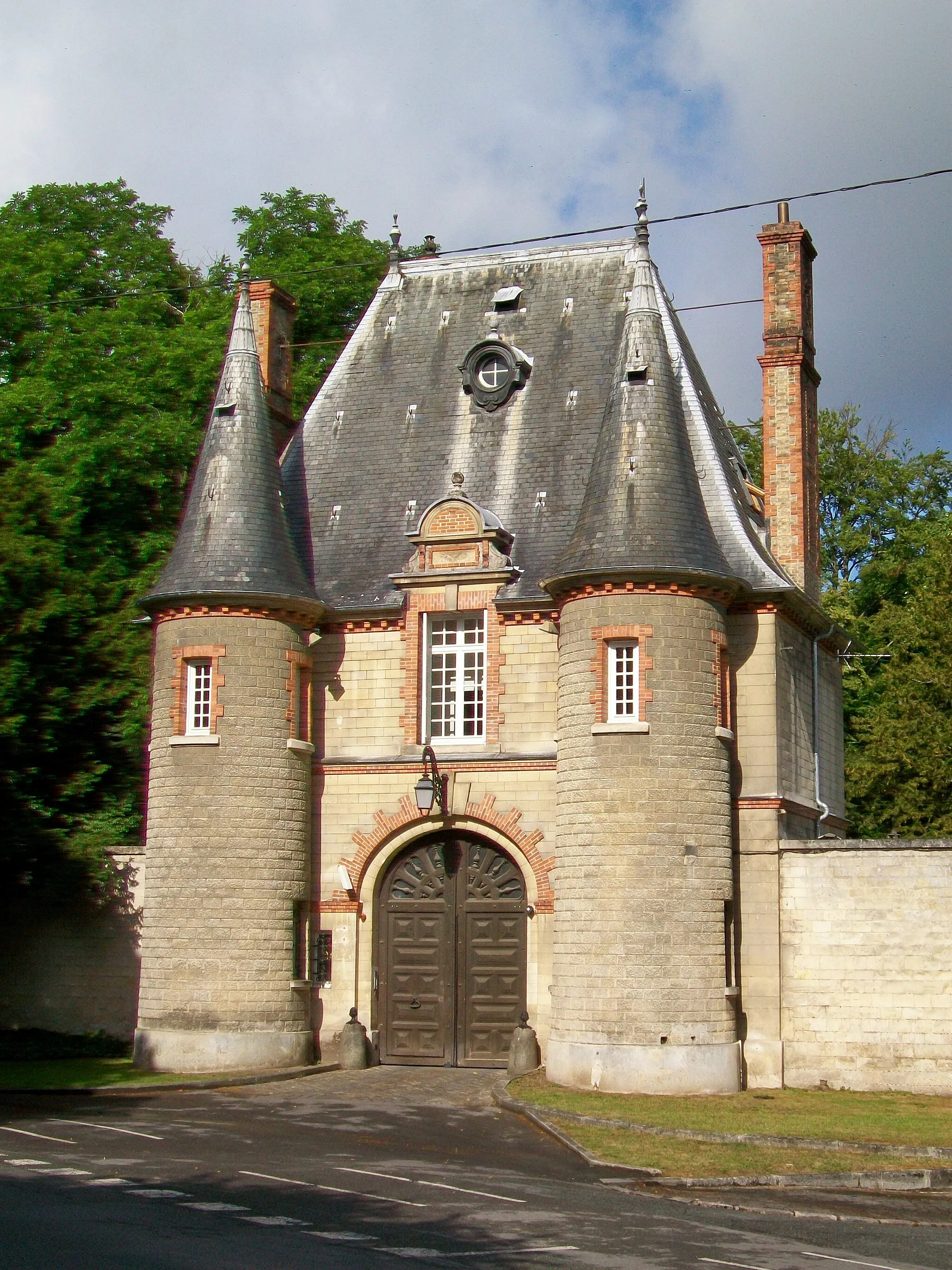
Pont de Saint-LeuHamletPont de Saint-Leu is a scenic bridge that provides breathtaking panoramic views of the nearby valley.
47 km
47 km
Finish: Villers-sous-Saint-Leu Village centerVillers-sous-Saint-Leu: Cycling through serene countryside in Picardie.
Cycling routes from Villers-sous-Saint-Leu:
Cycling routes nearby: