Dolus-d'Oléron to Phare de la Coubre Gravel Adventure
A gravel cycling route starting from Dolus-d'Oleron
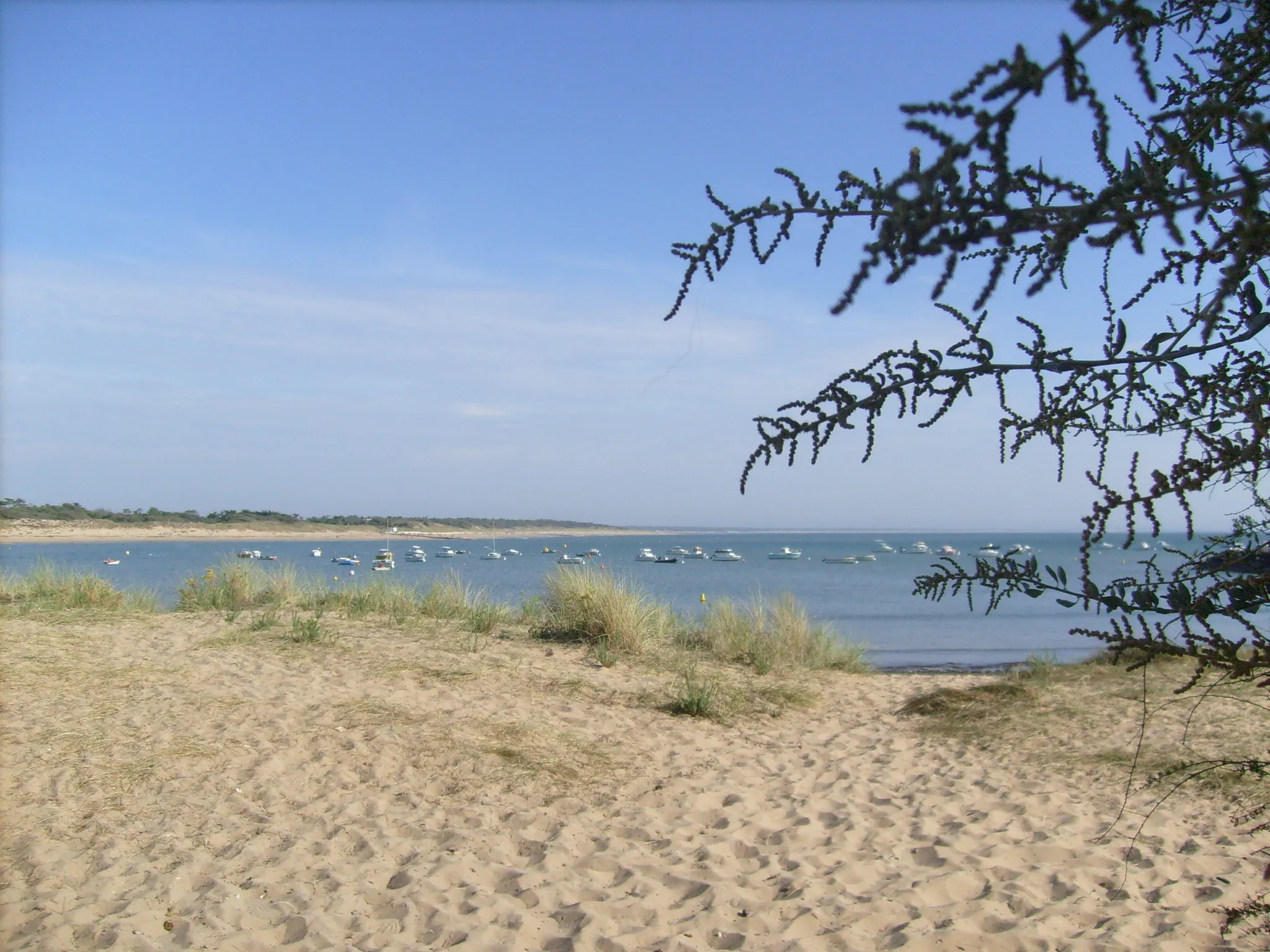
Embark on a gravel adventure from Dolus-d'Oléron to Phare de la Coubre

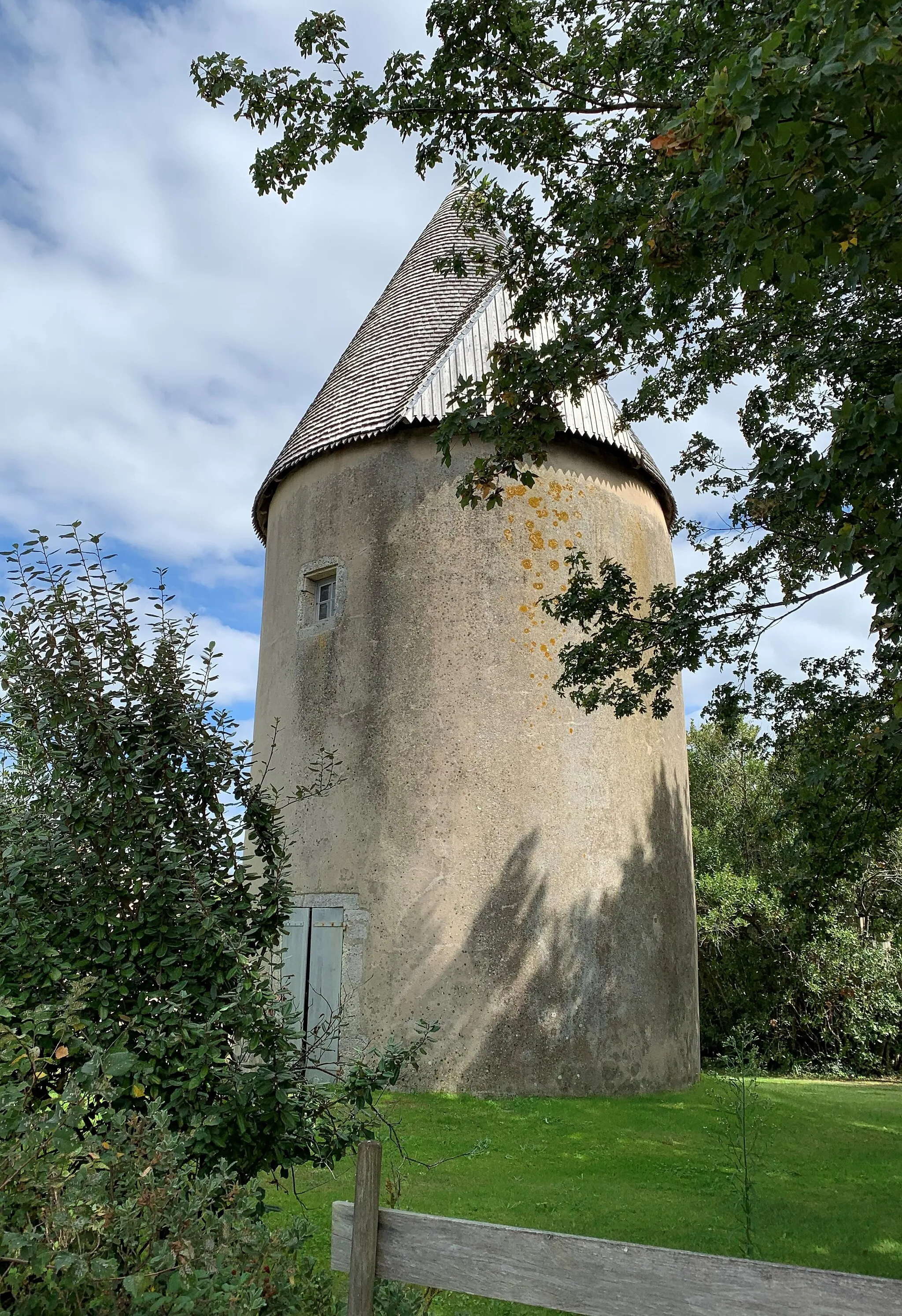
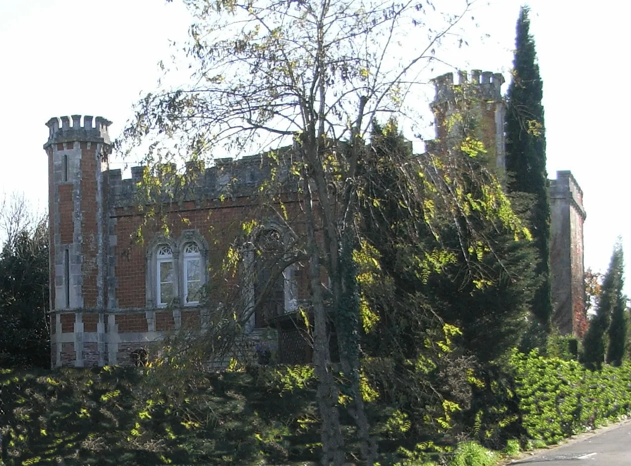
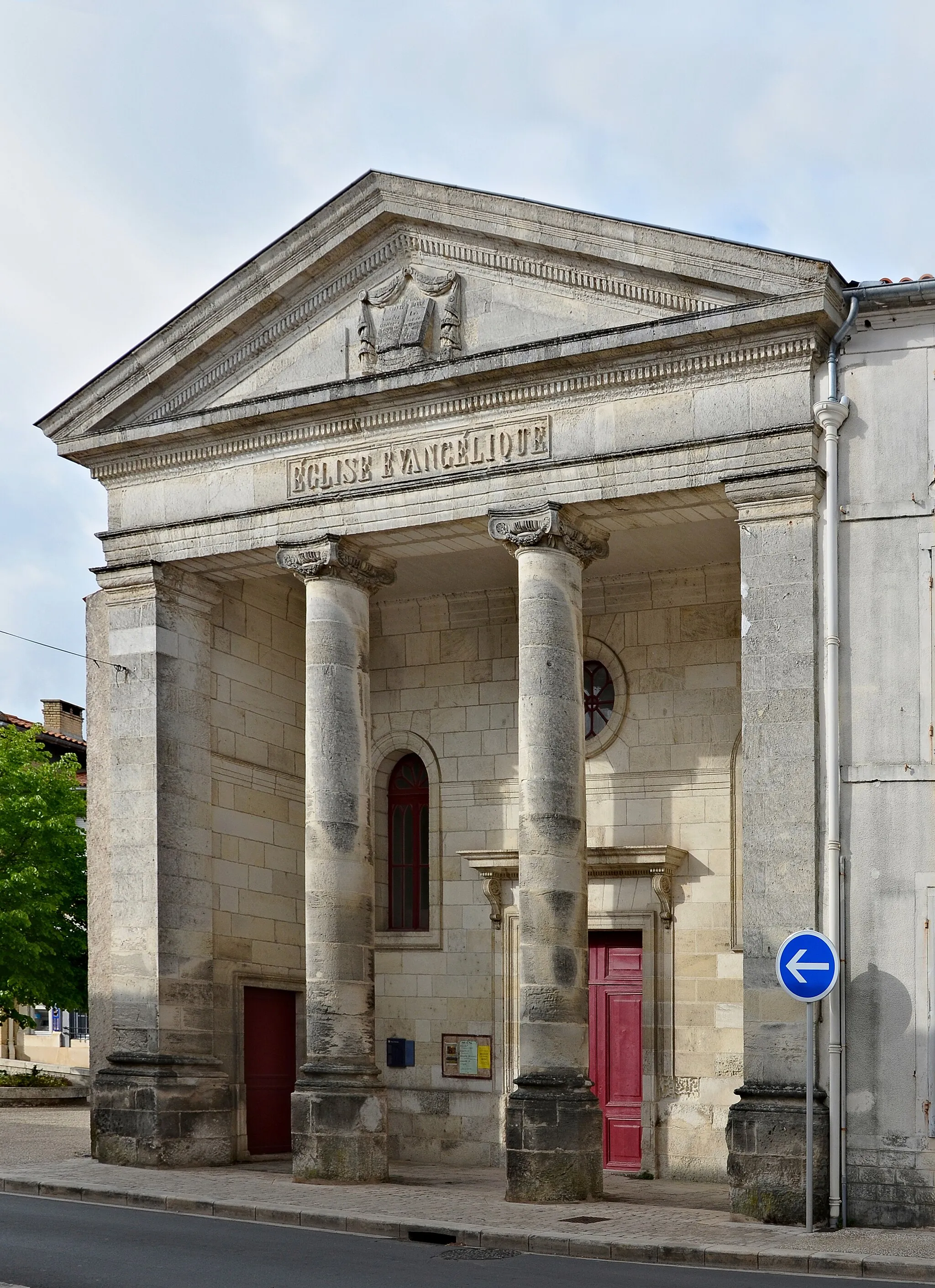
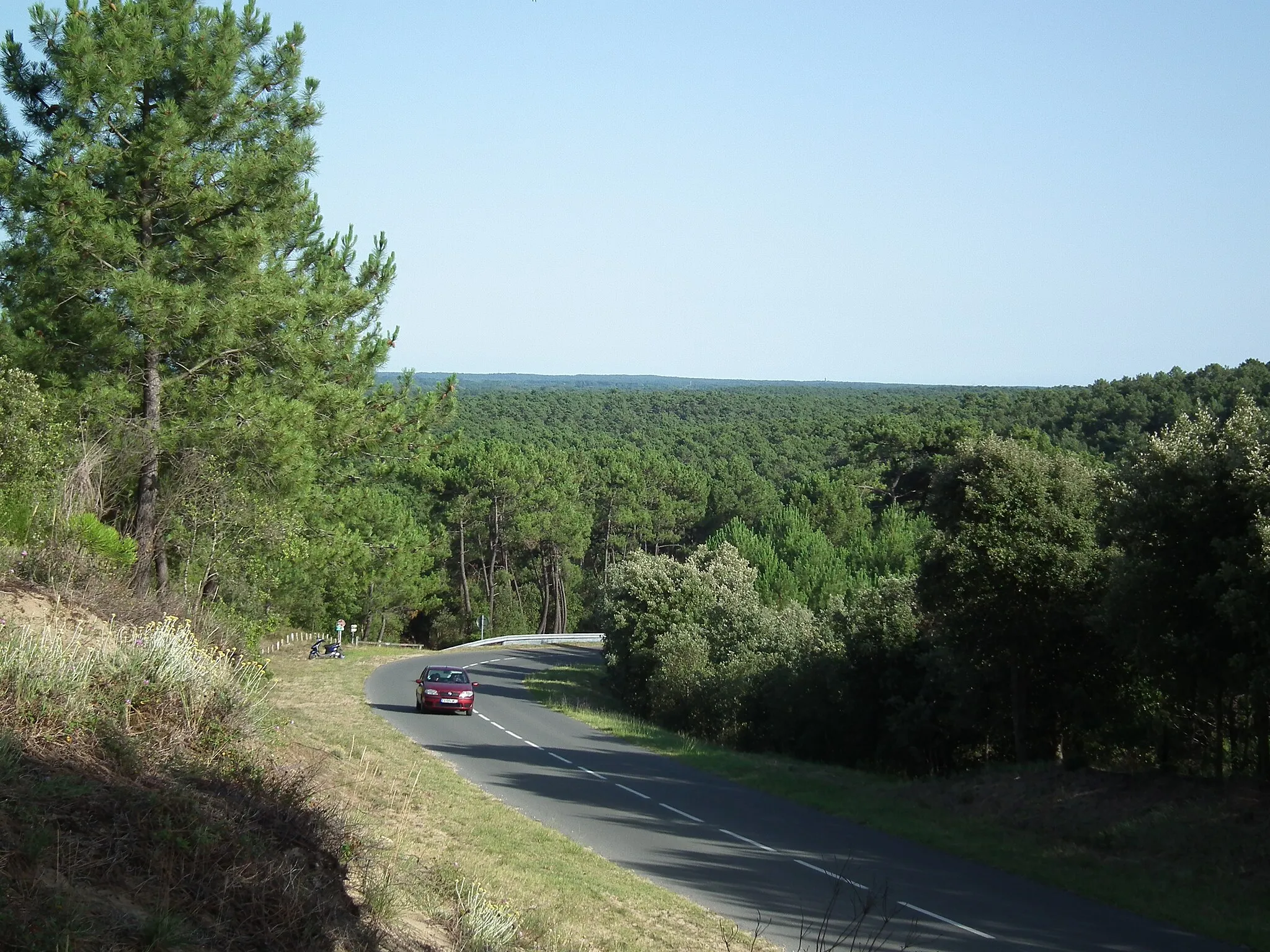
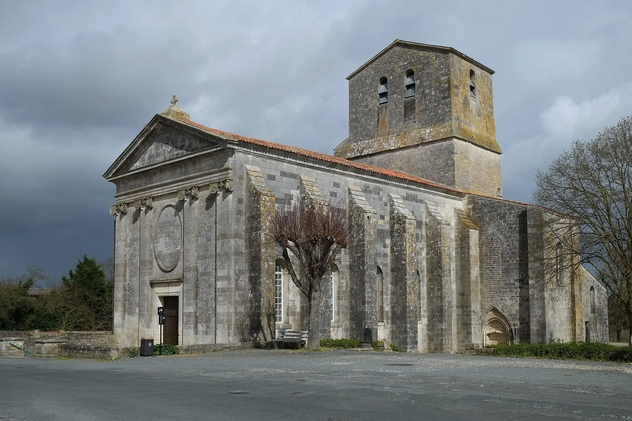
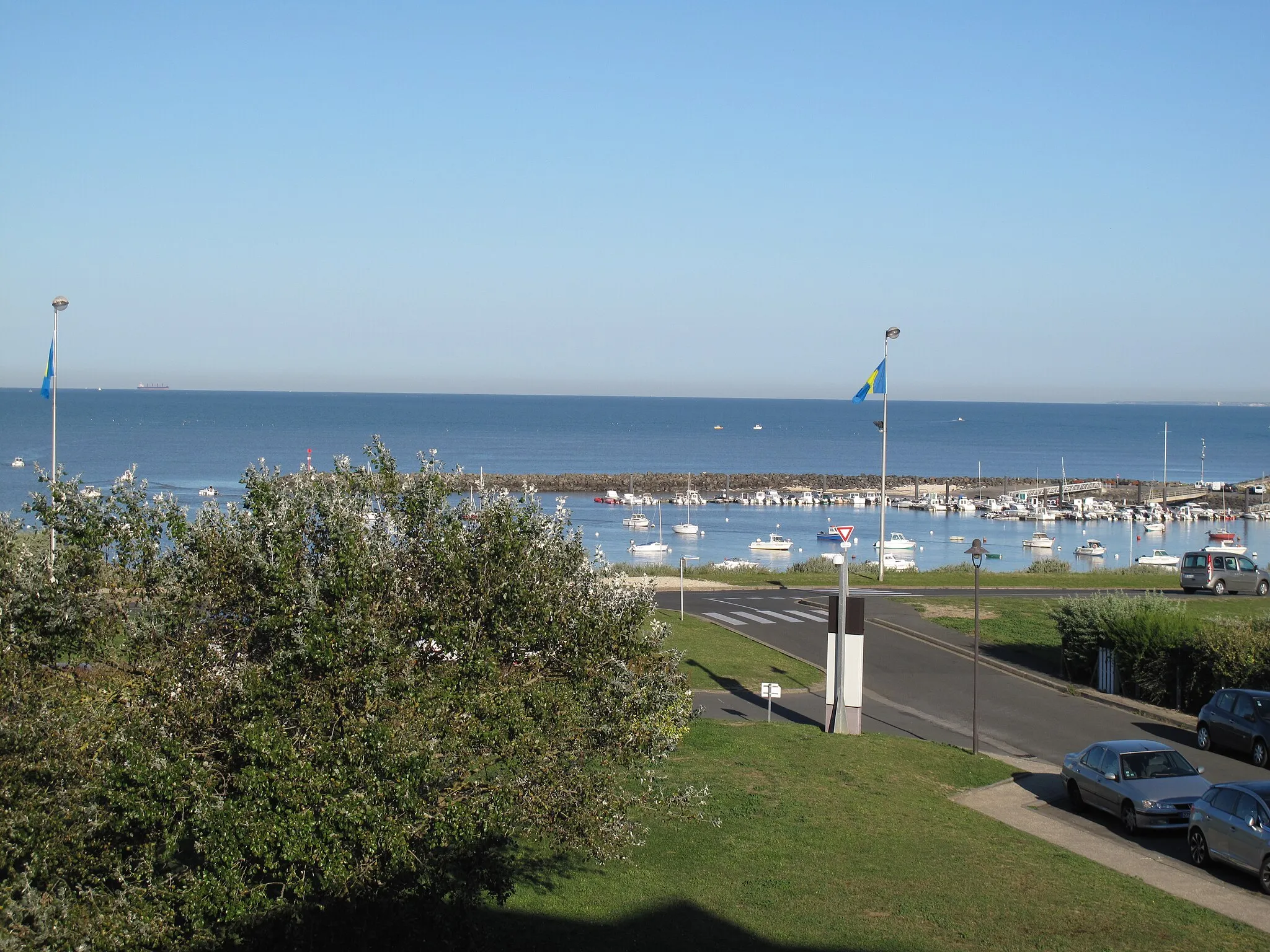
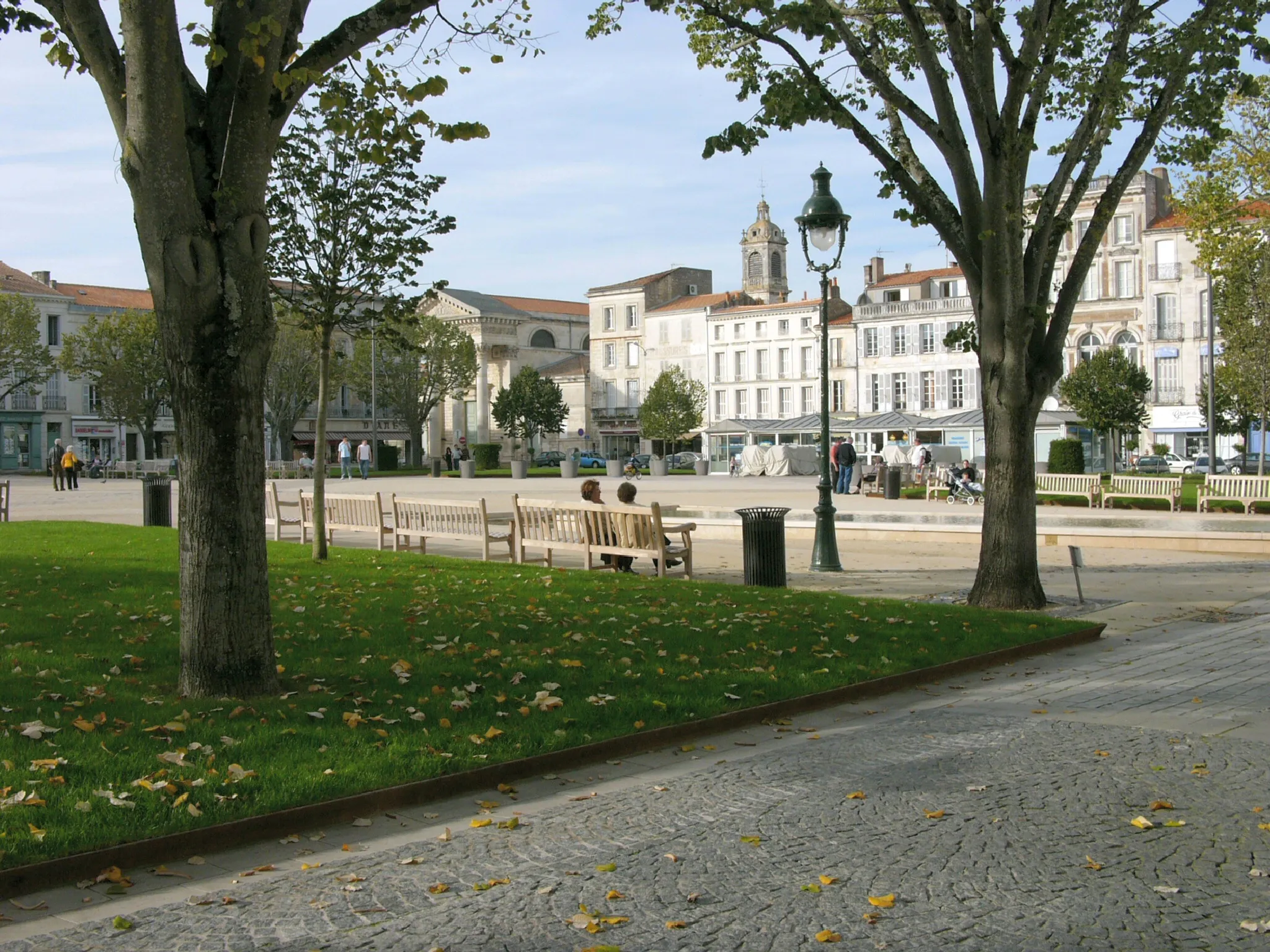
Experience an exciting off-road journey from Dolus-d'Oléron to Phare de la Coubre on this gravel cycling route in Poitou-Charentes, France. The route features a mix of challenging gravel roads with stunning views of the Atlantic Ocean. With a total distance of 82 kilometers and an ascent of 164 meters, this route is suitable for well-trained amateur cyclists. With a difficulty rating of 4 out of 5, this route offers a more challenging terrain for gravel cycling enthusiasts. The epicness rating for this route is 3 out of 5, as it includes scenic highlights and off-road adventure. The highlights of this route include Phare de la Coubre at the 39-kilometer mark, where you'll be rewarded with breathtaking views of the lighthouse and surrounding coastline. Ronce-les-Bains, located at 56 kilometers, offers picturesque coastal scenery and a chance to rest by the sea. Dolus-d'Oléron, the starting and ending point of the route, provides easy access to the coastline and charming villages. Overall, this gravel adventure route showcases the rugged landscape and coastal beauty of Dolus-d'Oléron. It's a thrilling experience for gravel cyclists seeking a combination of challenging terrain and stunning views.
Highlights on the route
Cycling routes from Dolus-d'Oleron:
Cycling routes nearby: