Jussas Loop
A road cycling route starting from Montendre
Explore the charming village of Jussas and its surrounding countryside
Map

The Jussas Loop is a picturesque cycling route that takes you through the beautiful countryside near Montendre. With a distance of 38 kilometers and an ascent of 199 meters, this road cycling route is suitable for all skill levels. The highlight of this route is Jussas, a quaint village known for its historic buildings and charming atmosphere. Along the way, you'll also pass through Bussac-Forêt, a small town surrounded by dense forests. Take your time exploring these hidden gems and enjoy the scenic views of the Poitou-Charentes region.
road
38 km
199 m
Chill
Route profile
Highlights on the route
0 km
0 km
Start: Souméras Village centerMontendre: Cycling Paradise in picturesque Poitou-Charentes
Montendre is a charming town located in the Poitou-Charentes region of France. The area offers a mix of rolling hills and flat terrain, making it perfect for road and gravel cycling. Cyclists can enjoy scenic routes through vineyards, forests, and picturesque villages. One of the famous cycling spots nearby is the Climbing Spot Montendre with challenging ascents. Additionally, Montendre hosts an annual cycling event, attracting enthusiasts from all over the country. With its beautiful landscapes and cycling-friendly atmosphere, Montendre is a great destination for both recreational and experienced cyclists.8 km
8 km
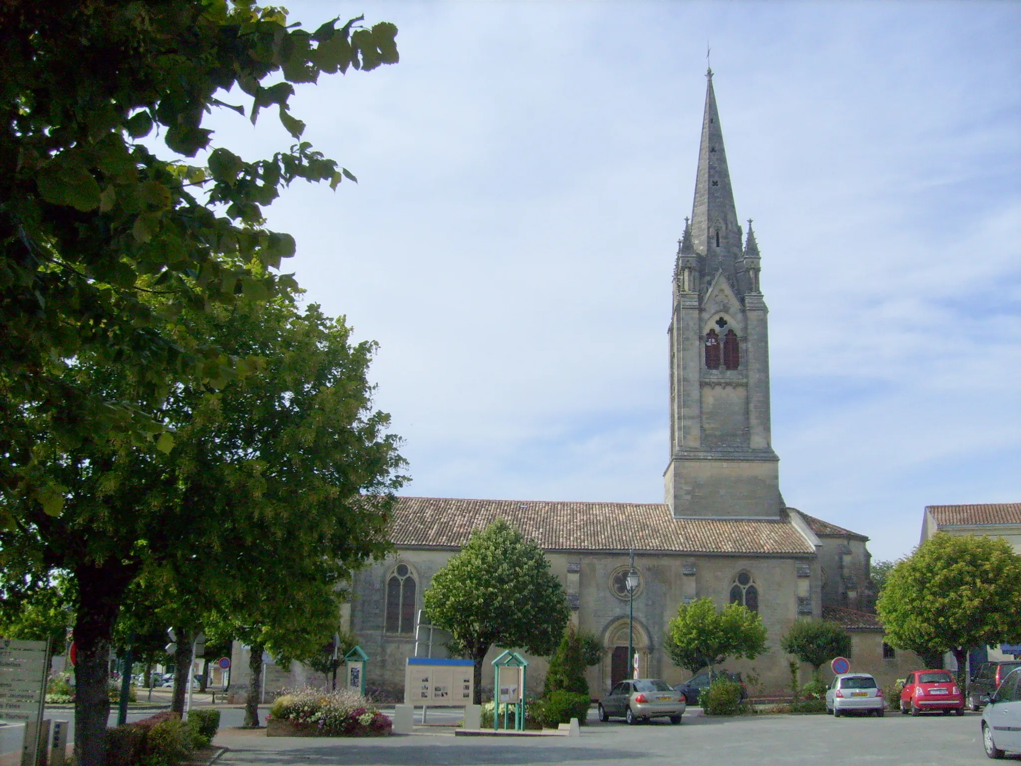
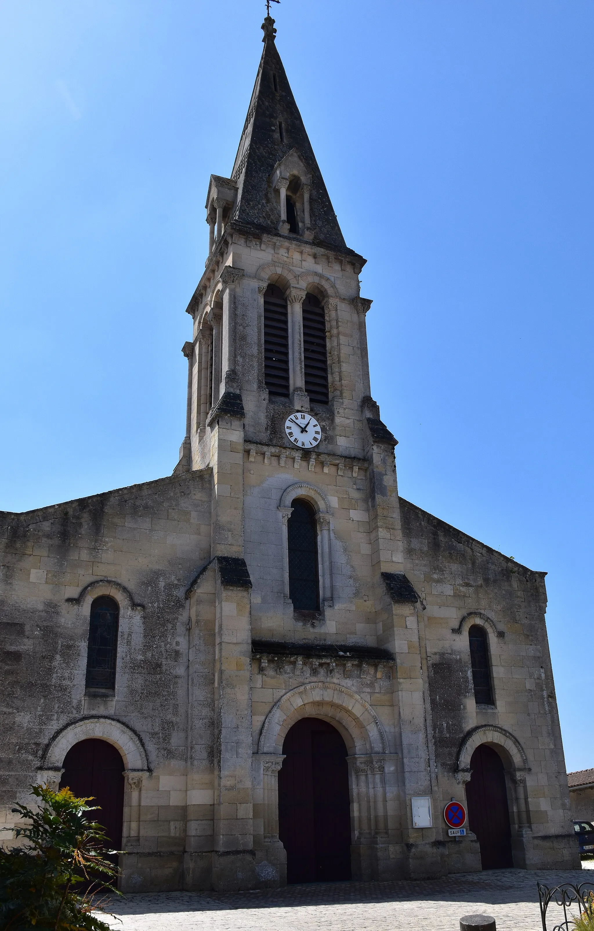
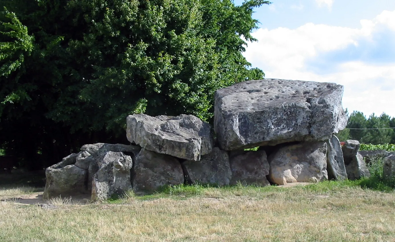
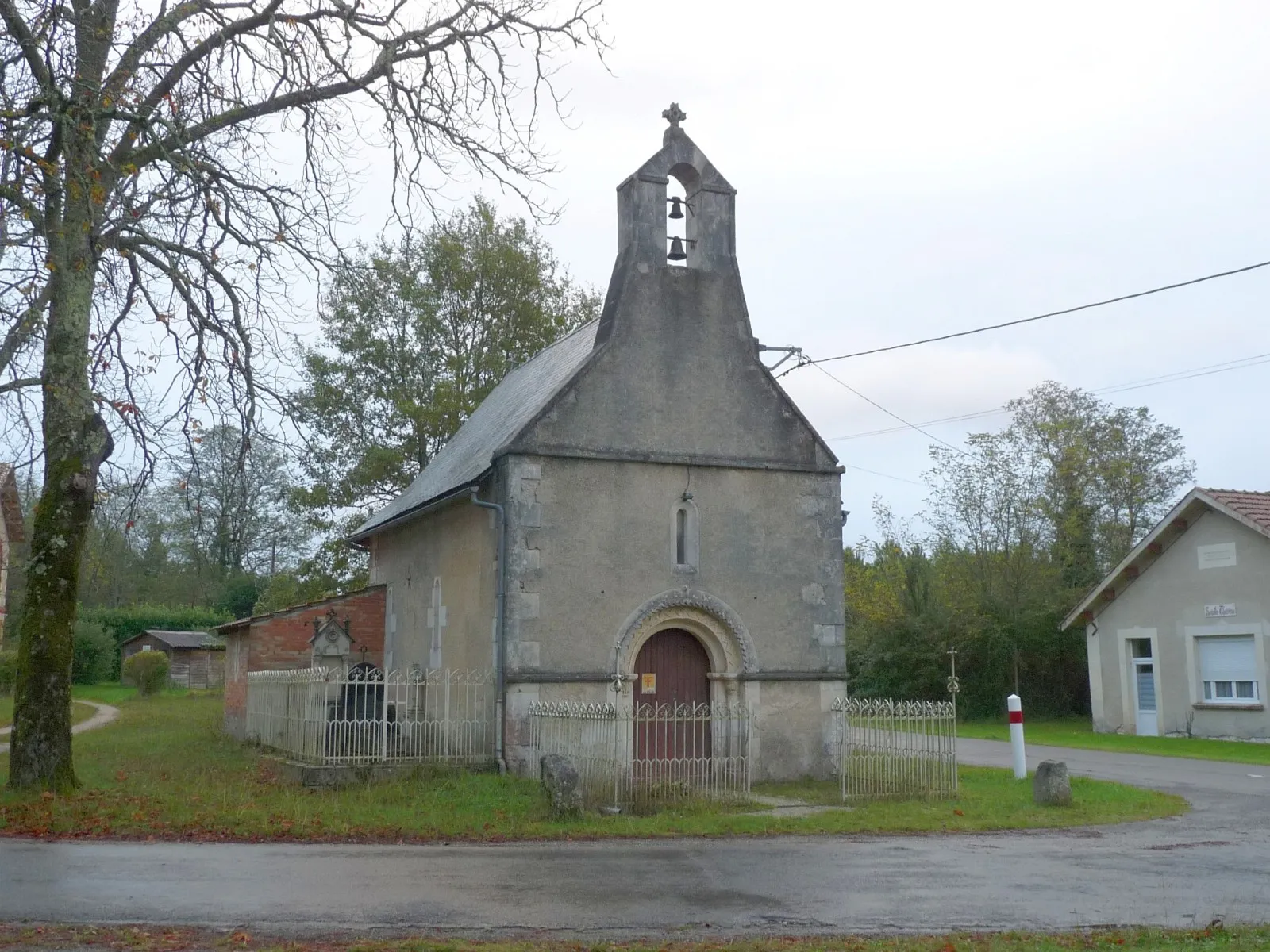
JussasVillageIn Jussas, discover the historical landmarks like the Church of Saint-Pierre and the Château de Camarsac.
26 km
26 km
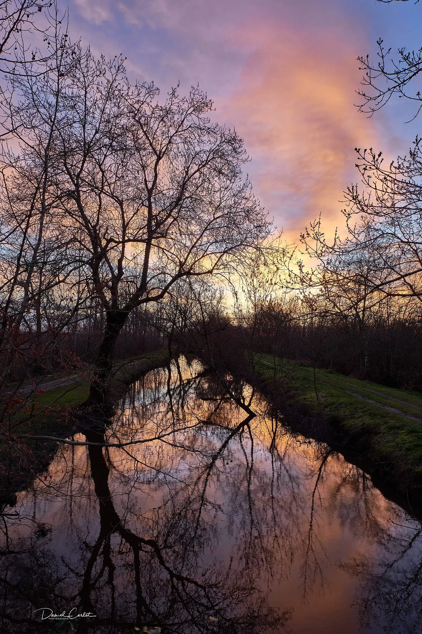
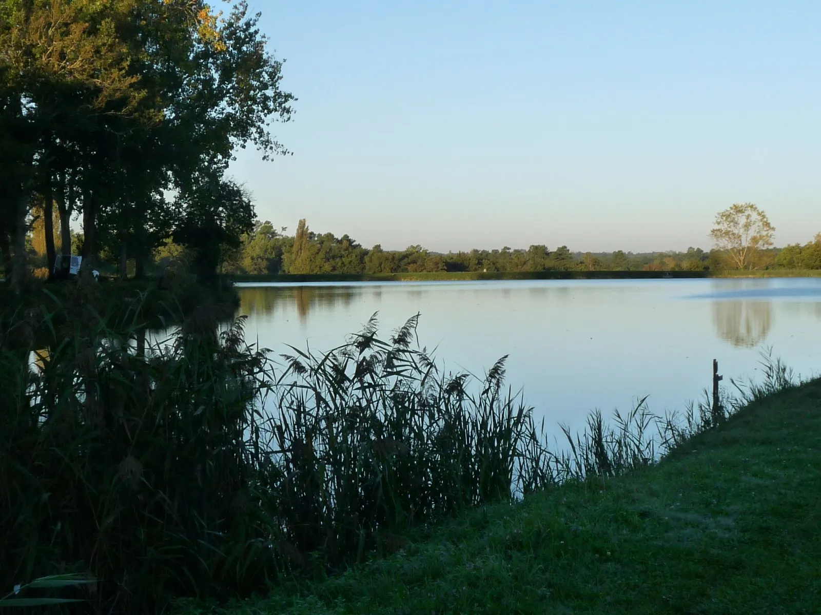
Bussac-ForêtVillageAs you ride through Bussac-Forêt, admire the stunning natural surroundings and perhaps take a break for a picnic in the forest.
36 km
36 km
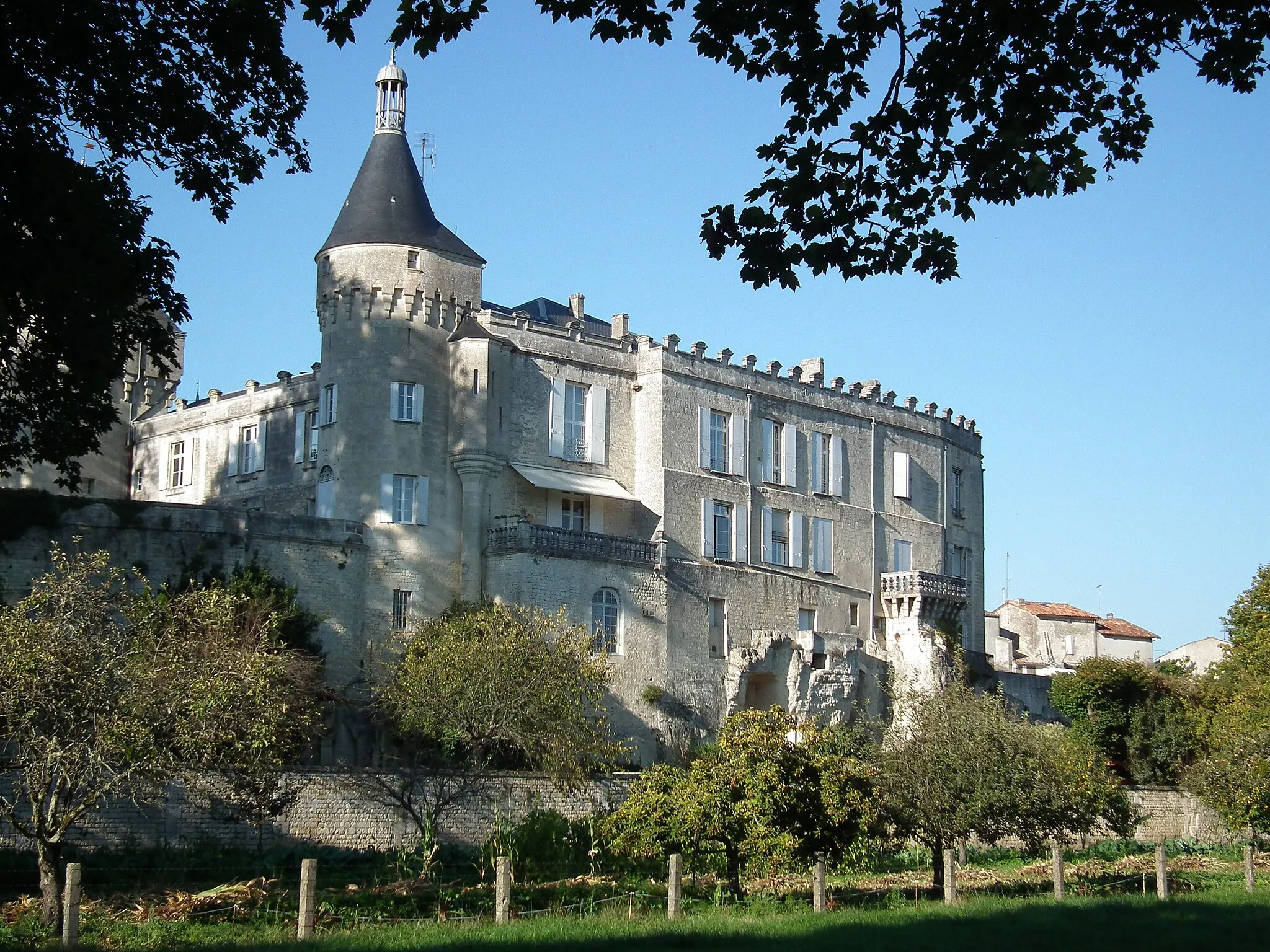
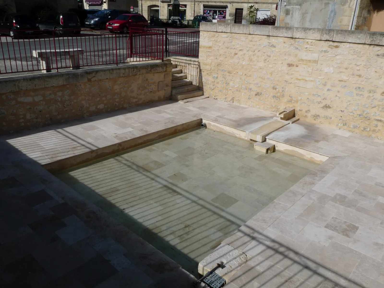
MontendreVillageWhen passing through Montendre, make sure to visit the Montendre Castle and enjoy the panoramic view from the top.
38 km
38 km
Finish: Souméras Village centerMontendre: Cycling Paradise in picturesque Poitou-Charentes
Cycling routes nearby: