Gravel Cycling Route: Brignoles to Puget-Ville
A gravel cycling route starting from Brignoles
An adventurous gravel cycling route from Brignoles to Puget-Ville
Map

Embark on an exciting gravel cycling adventure starting in Brignoles and ending in Puget-Ville. This route takes you through diverse terrains, including gravel paths and rugged trails. The route includes a total ascent of 1075 meters and covers a distance of 65 kilometers. It is suitable for well-trained amateur cyclists who enjoy off-road challenges. The epicness level is rated at 4, offering a thrilling and rewarding experience. Highlights along the route include Saint-Quinis, Le Défens, and Cuers. These spots offer scenic views, cultural attractions, and an opportunity to explore the region's natural beauty.
gravel
65 km
1075 m
Tough
Route profile
Highlights on the route
0 km
0 km
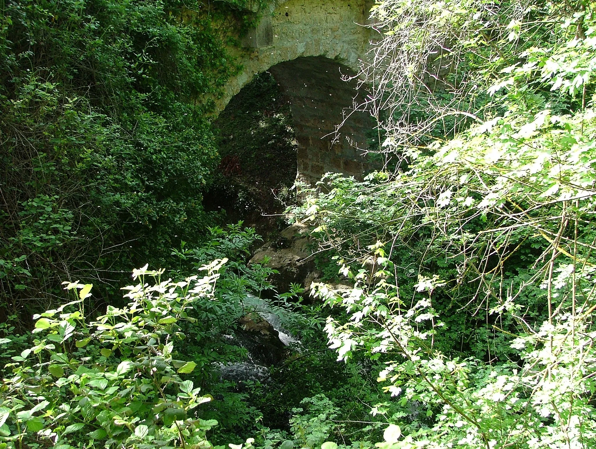
Start: Brignoles City centerBrignoles: Conquer the iconic Mont Ventoux and more in cyclist's paradise, Brignoles.
Brignoles, nestled in the Provence-Alpes-Côte d’Azur region of France, is a diverse cycling destination that caters to all types of riders. From serene country roads to challenging mountain terrains, Brignoles offers a wide variety of cycling routes. Cyclists can explore the rolling hills of Provence and visit charming medieval villages along the way. For avid climbers, the legendary Mont Ventoux is within reach, providing a thrilling challenge. Brignoles also boasts excellent cycling infrastructure and amenities, accommodating the needs of cyclists. With its beautiful landscapes, rich history, and renowned climbs, Brignoles is a must-visit destination for cycling enthusiasts.0 km
0 km
BrignolesTownBrignoles is a historic town with a charming medieval square, picturesque streets, and a stunning Gothic church.
12 km
12 km
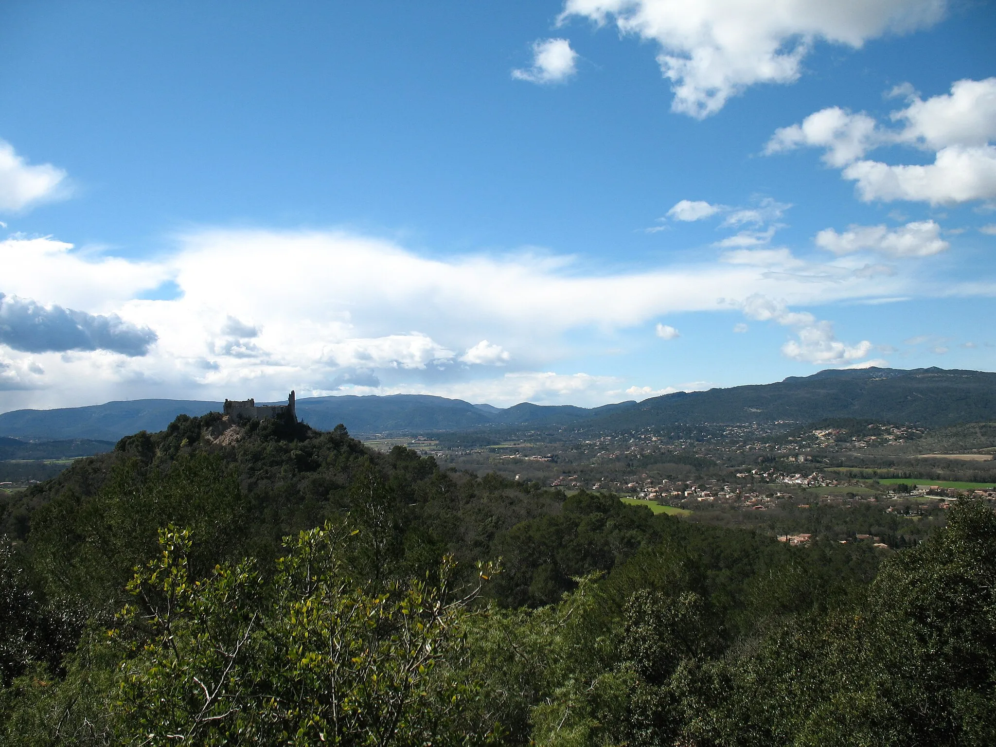
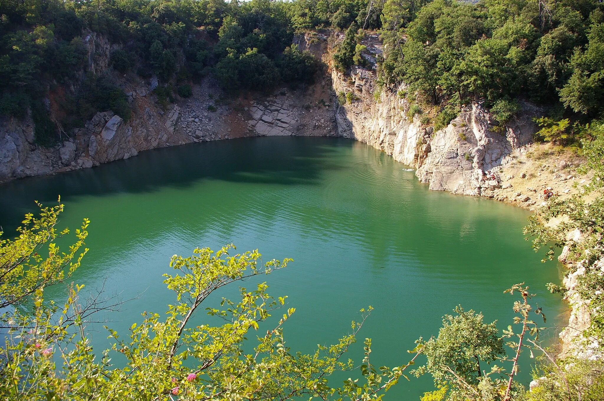
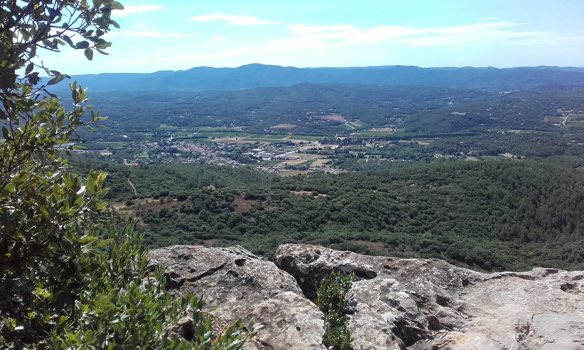
Saint-Quinis636 mPeakSaint-Quinis is a small village known for its traditional Provençal architecture and stunning views of the surrounding countryside.
23 km
23 km
Le Défens372 mPeakLe Défens is a scenic viewpoint that offers panoramic views of the rolling hills and vineyards.
26 km
26 km
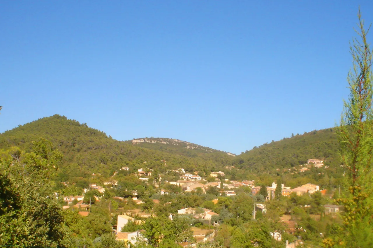
Puget-VilleVillagePuget-Ville is a picturesque village with narrow streets, ancient buildings, and a relaxed atmosphere.
39 km
39 km
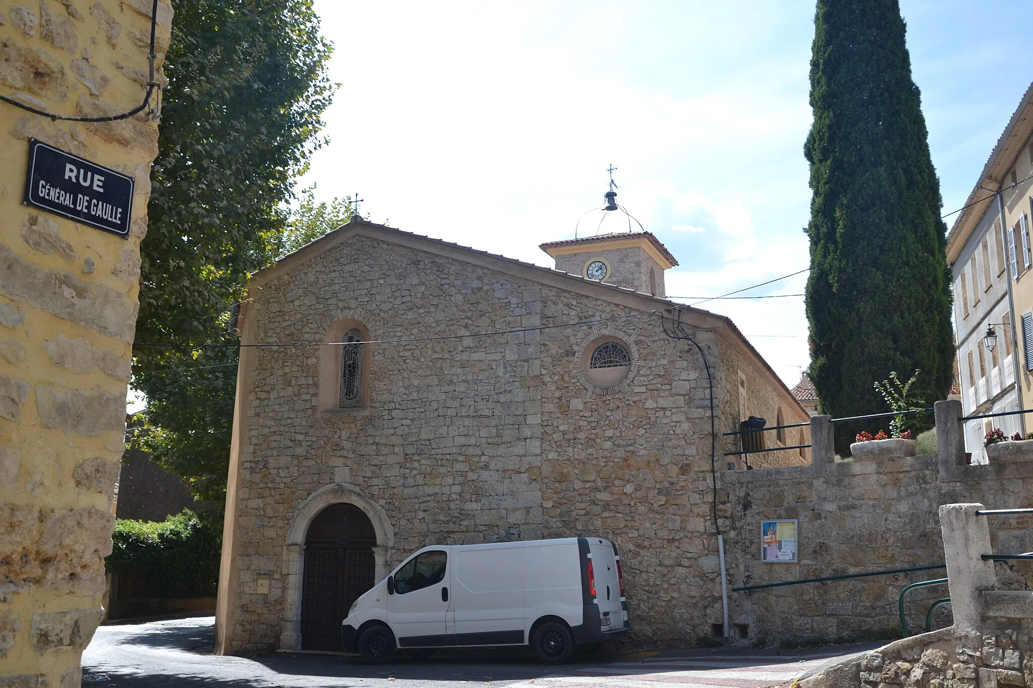
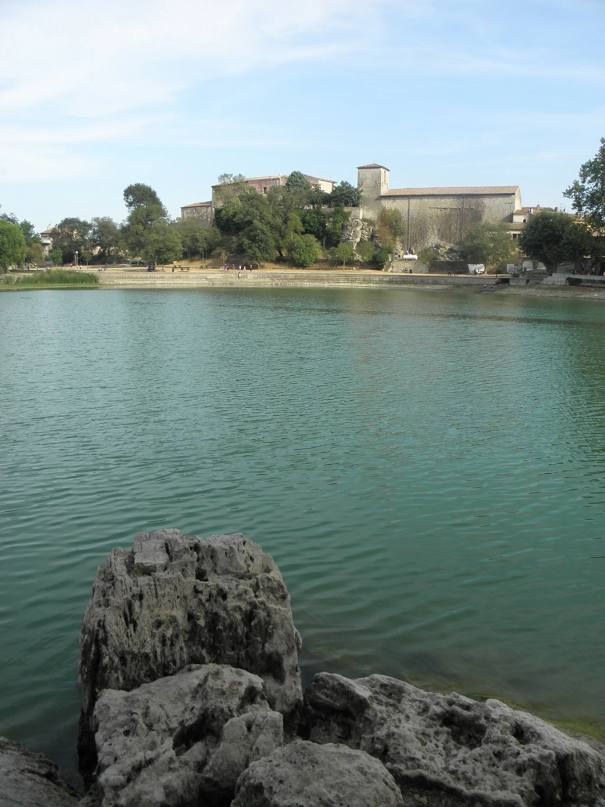
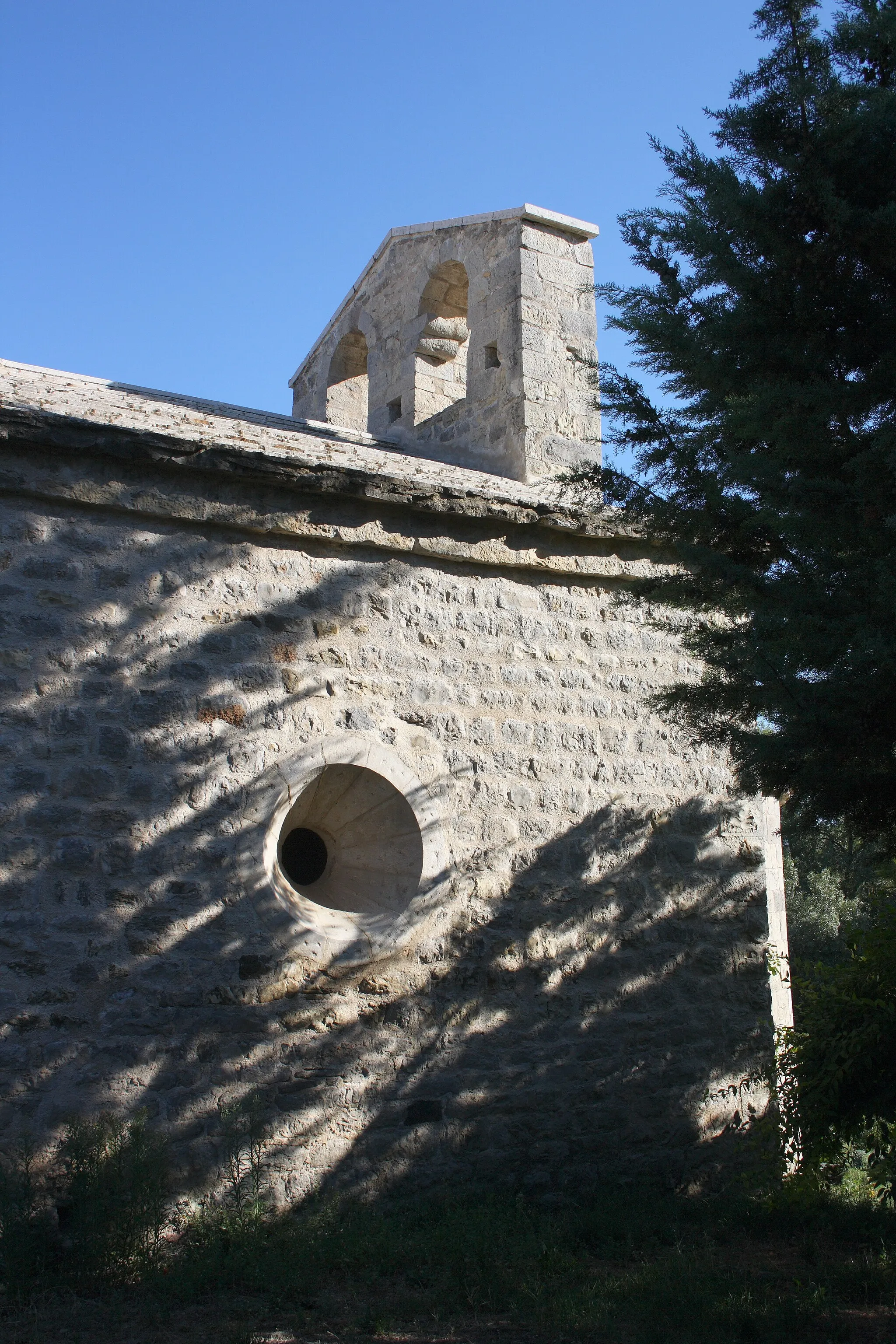
CuersVillageCuers is a charming village with a rich history and beautiful architecture, including a medieval castle and a Romanesque church.
46 km
46 km
Collet de la Mayon444 mPeakCollet de la Mayon is a challenging climb that offers stunning views of the surrounding countryside.
51 km
51 km
Fray Long409 mPeakFray Long is a natural site with beautiful rock formations and hiking trails, perfect for outdoor enthusiasts.
53 km
53 km
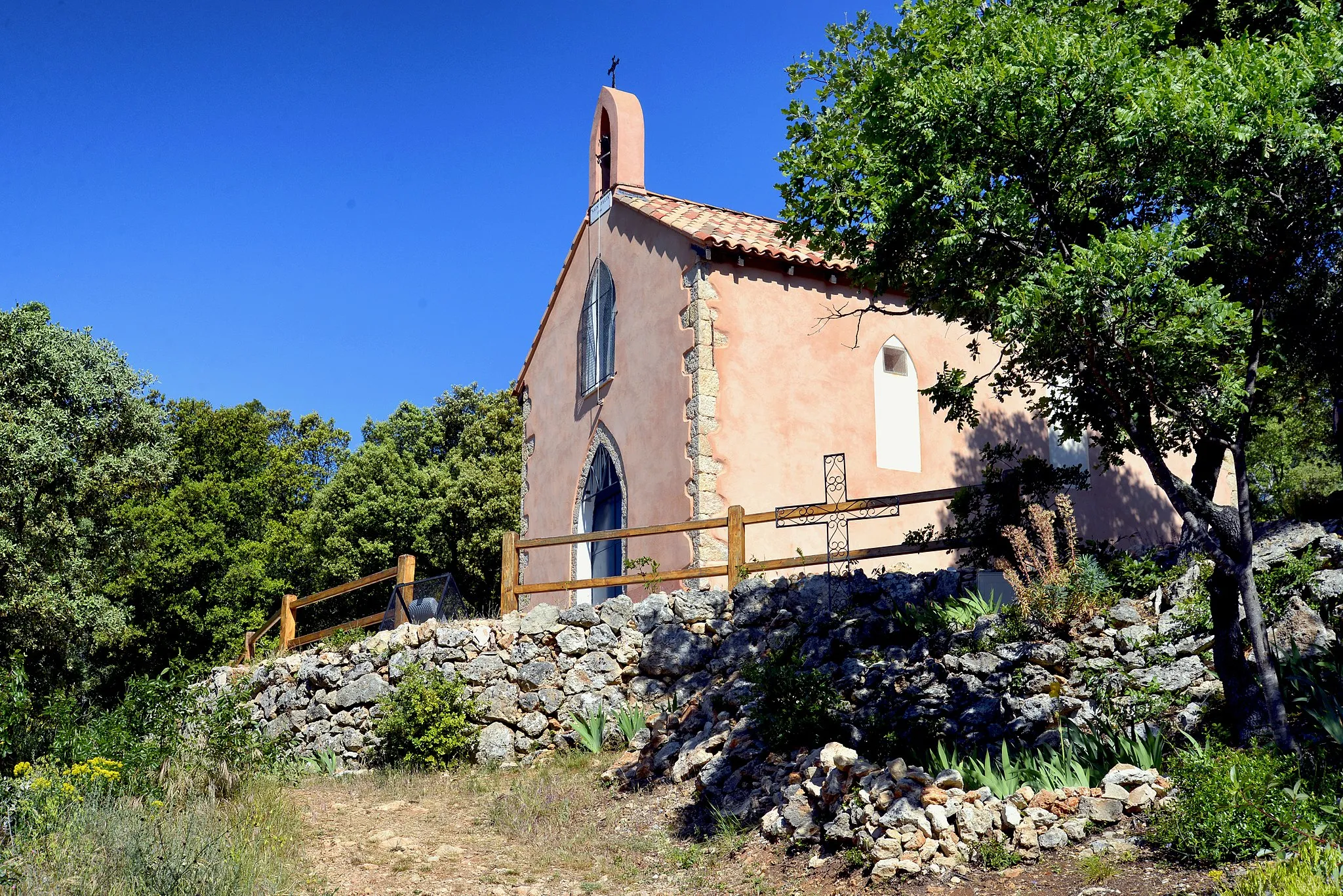
ForcalqueiretVillageForcalqueiret is a historic village with narrow streets, ancient buildings, and a central square lined with cafes and shops.
60 km
60 km
Camps-la-SourceVillageCamps-la-Source is a picturesque village with traditional Provençal charm, offering a peaceful and scenic environment for cyclists to enjoy.
65 km
65 km
Finish: Brignoles City centerBrignoles: Conquer the iconic Mont Ventoux and more in cyclist's paradise, Brignoles.
Cycling routes from Brignoles:
The Quatre Termes Challenge Gravel Cycling Route: Brignoles to Puget-Ville Gravel Adventure to Gaurran Exploring the Heart of Var Gravel Cycling Route: Brignoles to Tourves Road Cycling Route: Brignoles to Tourves Gravel Cycling Route: Brignoles to Bras Road Cycling Route: Brignoles to Gonfaron Gravel through Var's Hidden Gems Brignoles - La Londe-les-Maures Loop
Cycling routes nearby: