Gratteloup Loop
A road cycling route starting from Cogolin
Challenge yourself on this hilly route with the Col du Gratteloup as a major highlight.
Map
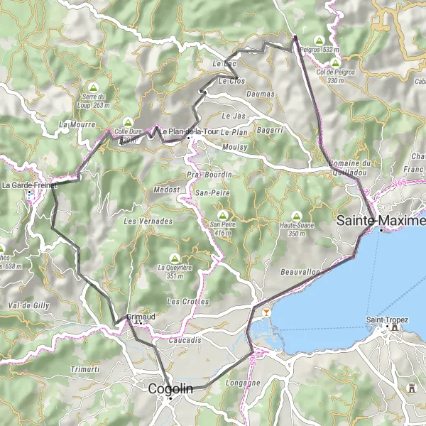
Prepare for a hilly but rewarding journey with the Col du Gratteloup as the main highlight. With a distance of 51 km and an ascent of 645 meters, this road cycling route is suitable for experienced riders. Start near Cogolin and pedal towards Grimaud, a charming village with medieval charm. Along the way, you'll pass Peygros, an enchanting hamlet nestled in the hills. As you approach Le Plan-de-la-Tour, prepare for the challenging ascent of Col du Gratteloup, which offers stunning panoramic views. The route then takes you to the coastal town of Sainte-Maxime, where you can relax and enjoy the beach after a challenging ride.
road
51 km
645 m
Tough
Route profile
Highlights on the route
0 km
0 km
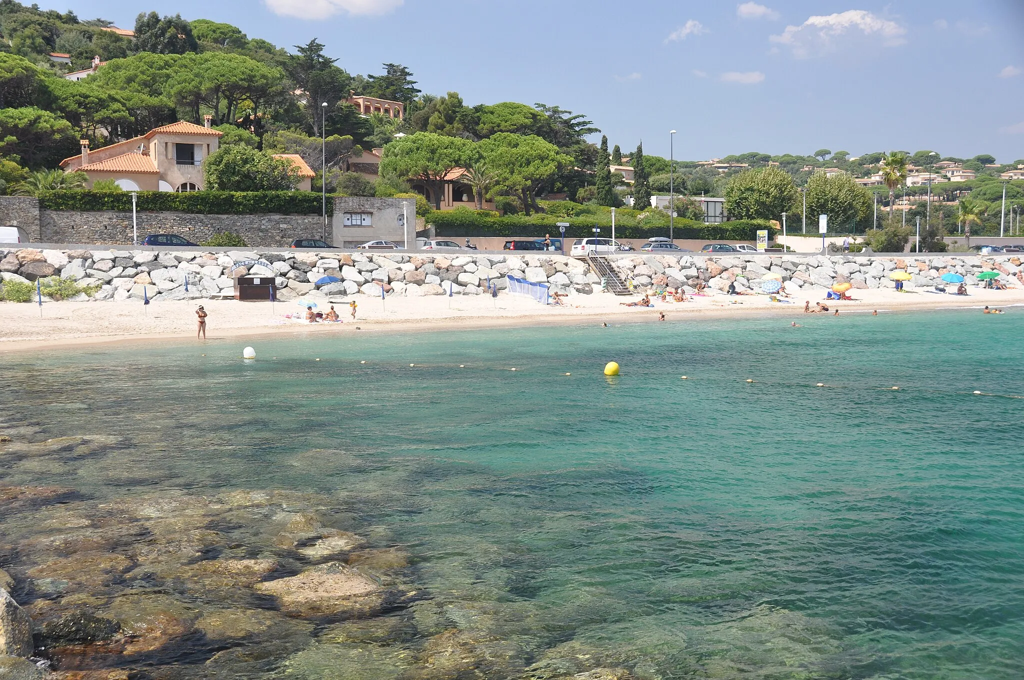
Start: Cogolin City centerCogolin: Discover the coastal and mountainous landscapes of Cogolin, France.
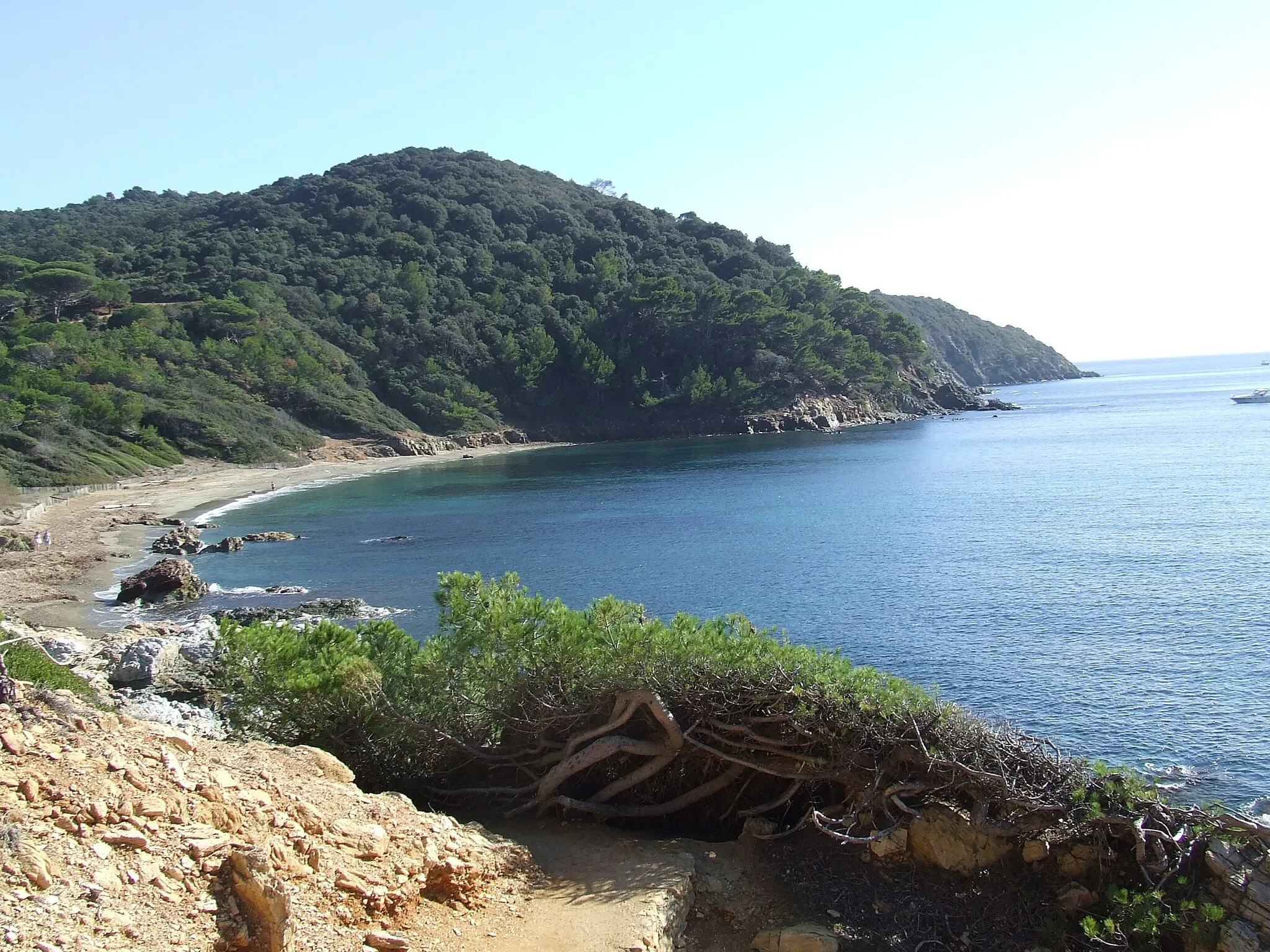
Cogolin, situated in the Provence-Alpes-Côte d’Azur region of France, offers a cycling experience that combines coastal routes and stunning landscapes. Road and gravel cyclists can enjoy riding along the coastal roads, which provide beautiful views of the Mediterranean Sea. Cyclists can also explore the Massif des Maures, a mountainous region known for its challenging climbs and scenic vistas. Cogolin is within close proximity to famous cycling spots such as the Col de Canadel and Col de Gratteloup. Overall, it is a great destination for cyclists looking for a mix of coastal and mountainous rides.3 km
3 km
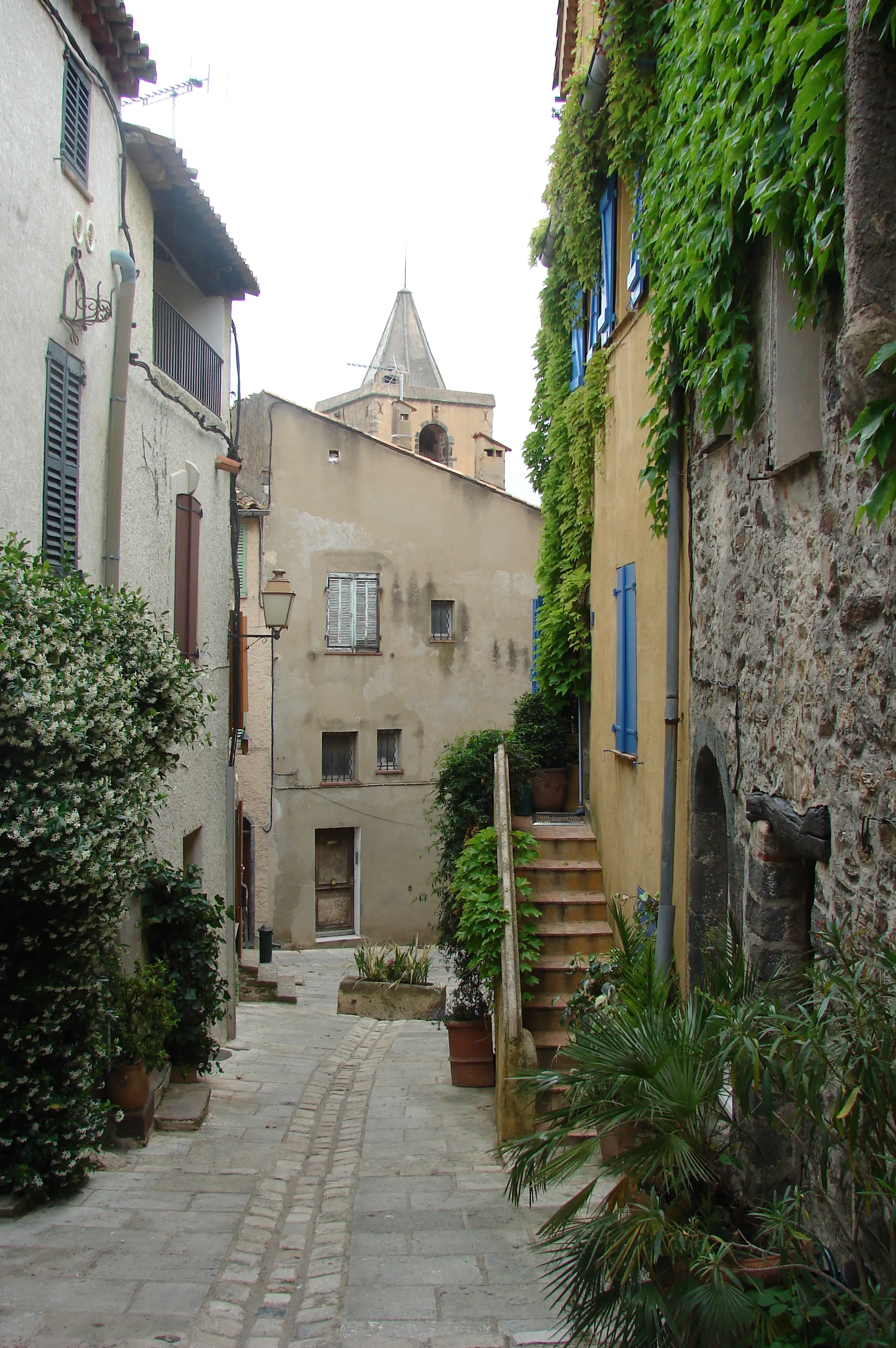
GrimaudVillageVisit Grimaud, a charming village with narrow streets and a medieval castle.
12 km
12 km
Peygros456 mPeakDiscover Peygros, an enchanting hamlet nestled in the hills.
20 km
20 km
Le Plan-de-la-TourVillageExplore Le Plan-de-la-Tour, a picturesque village surrounded by vineyards.
30 km
30 km
Col du Gratteloup225 mMountain PassChallenge yourself on the ascent of Col du Gratteloup, which offers breathtaking views.
39 km
39 km
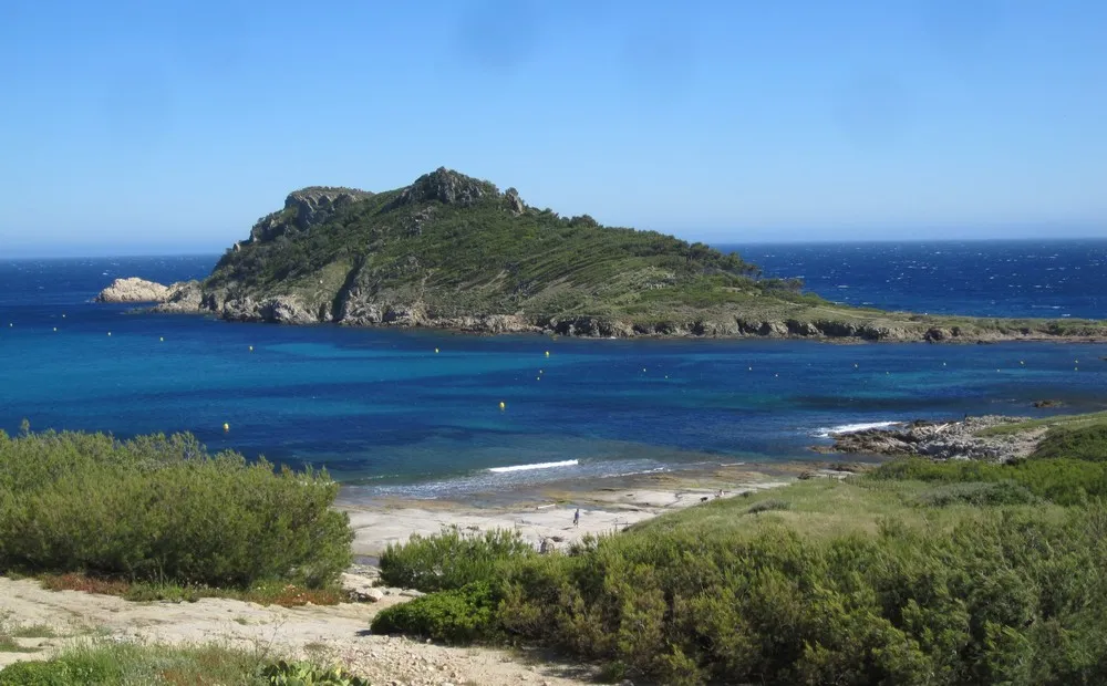
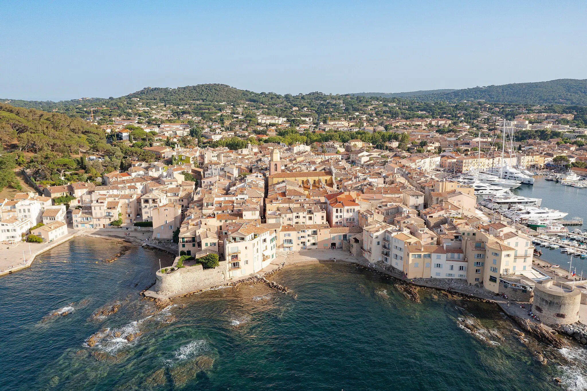
Sainte-MaximeTownFinish your ride in the vibrant coastal town of Sainte-Maxime.
51 km
51 km
Finish: Cogolin City centerCogolin: Discover the coastal and mountainous landscapes of Cogolin, France.
Cycling routes from Cogolin:
Cycling routes nearby: