Scenic routes and famous climbs in the Provence-Alpes-Côte d'Azur region.
Cycling routes from Le Plan-de-la-Tour
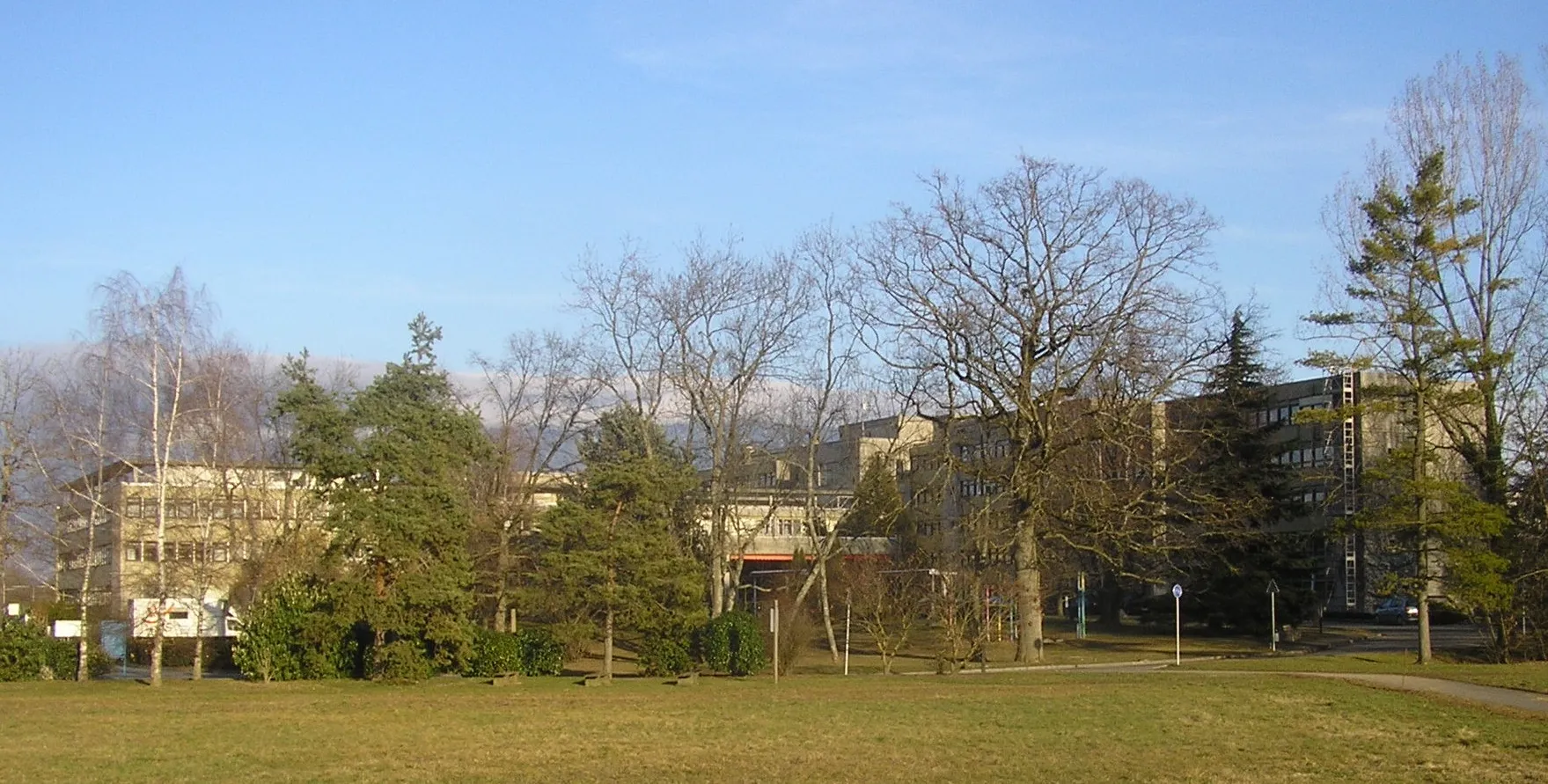
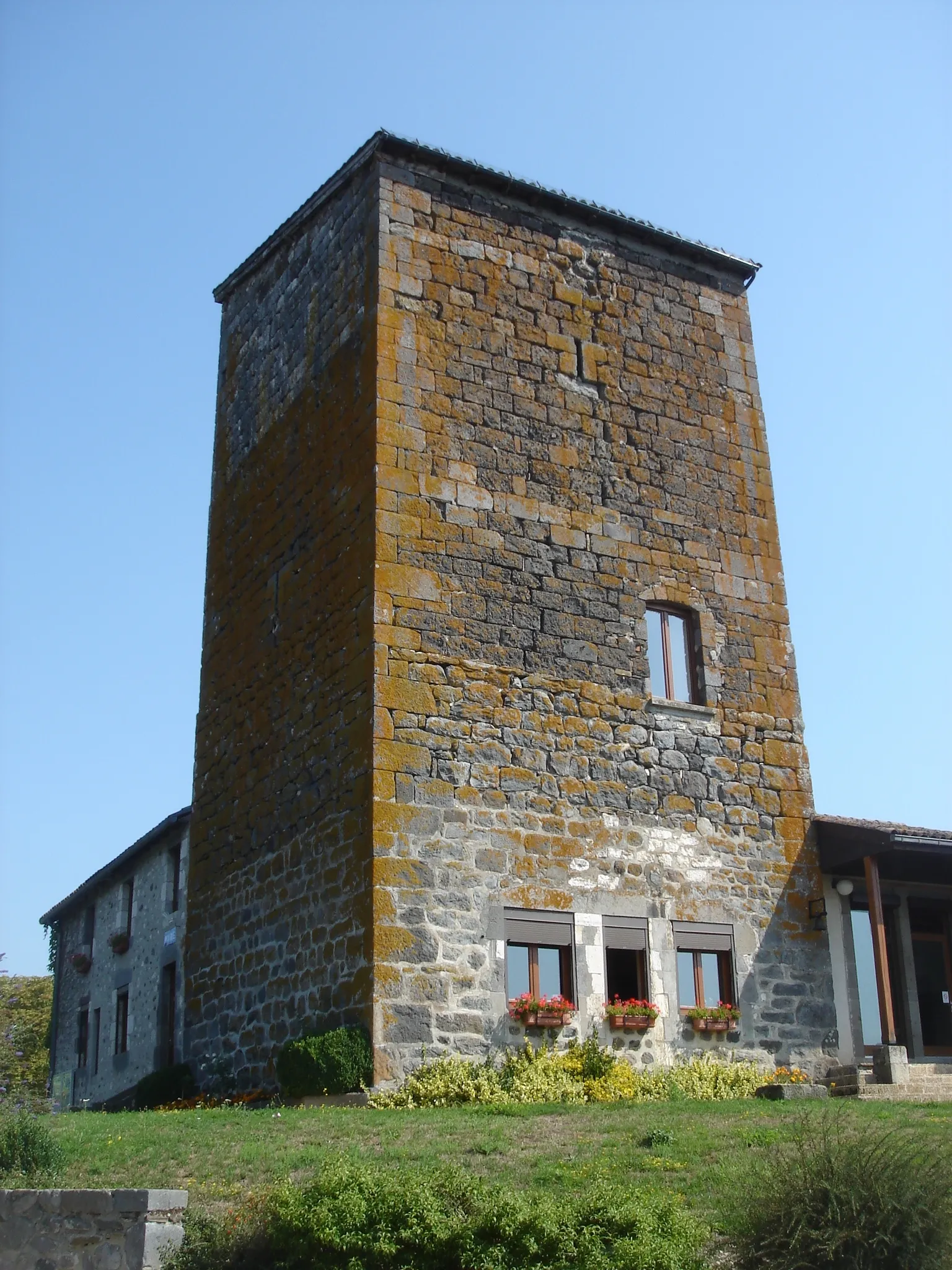
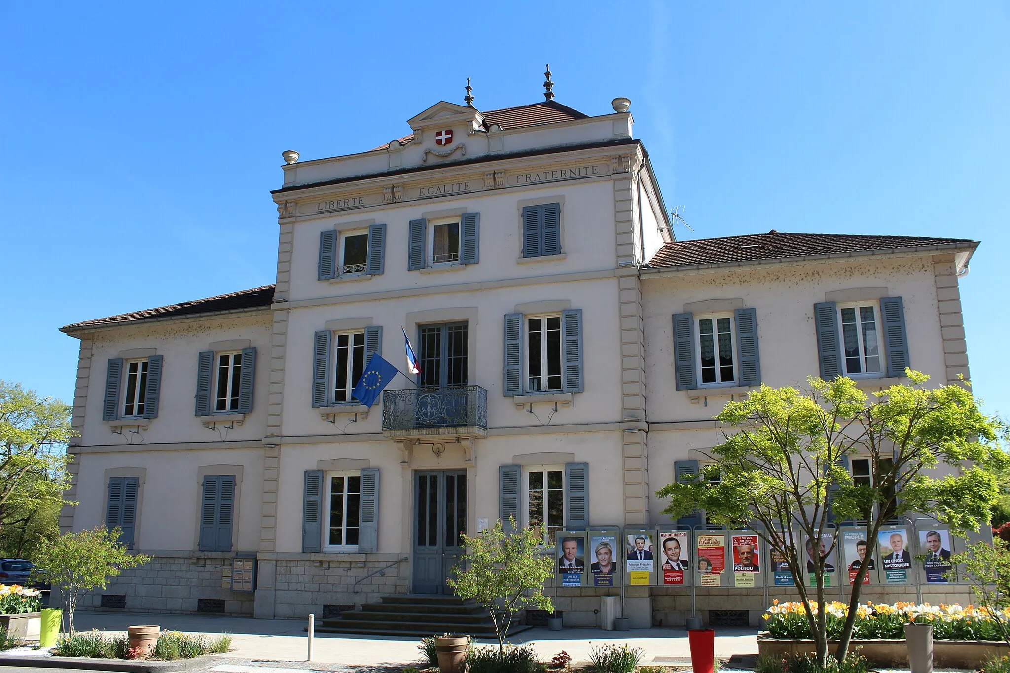
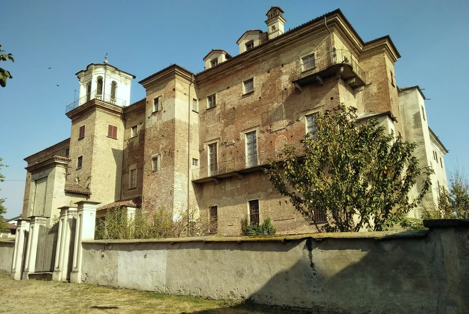
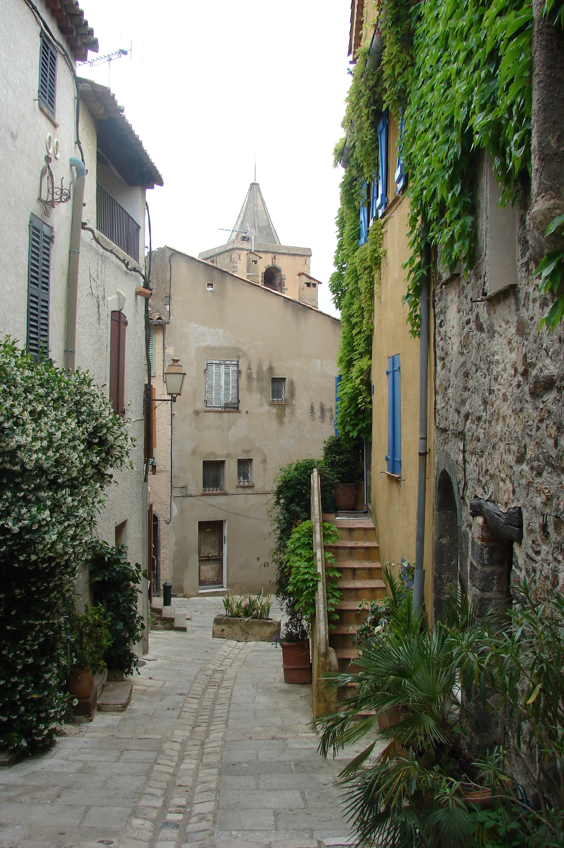
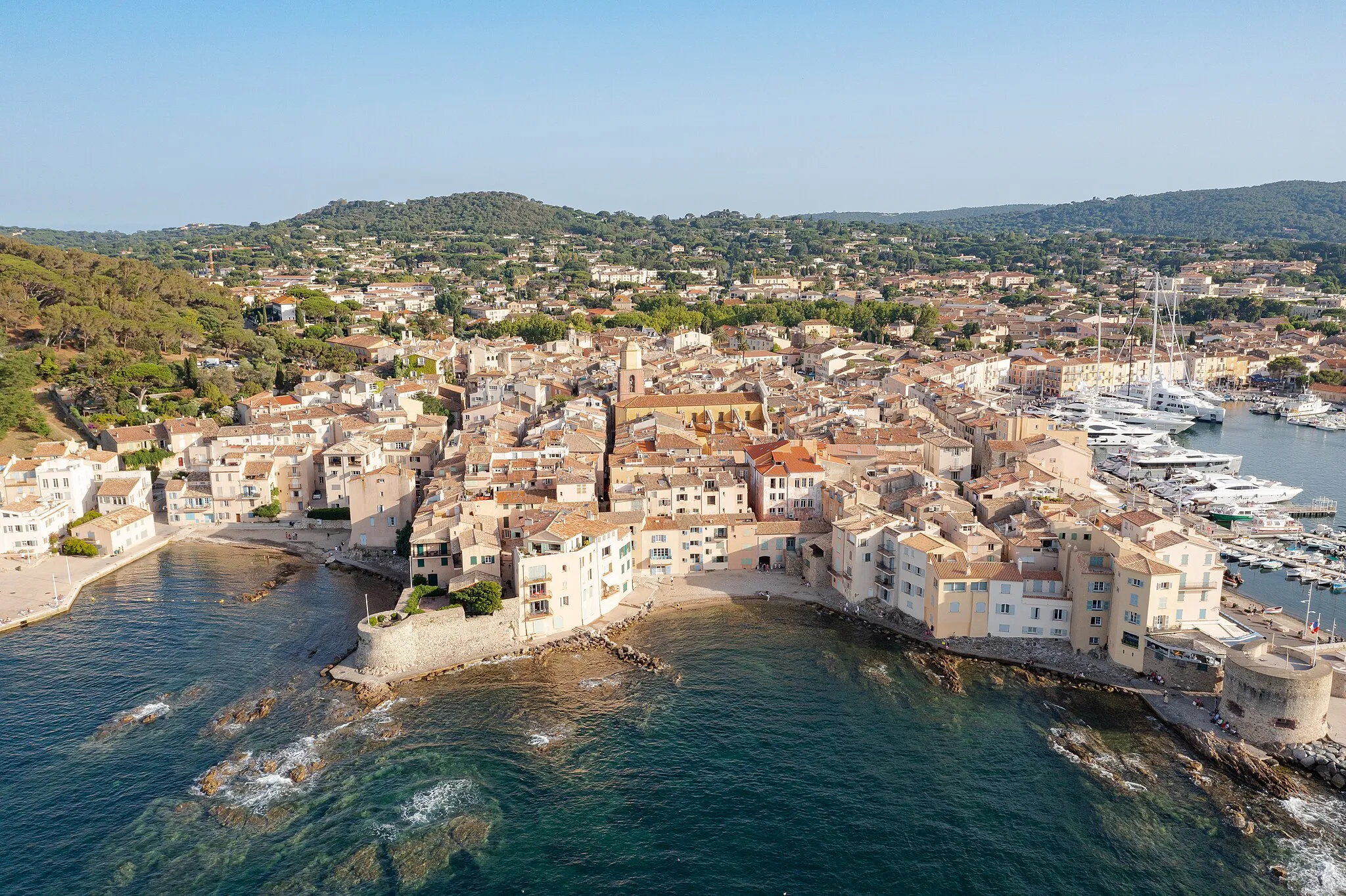
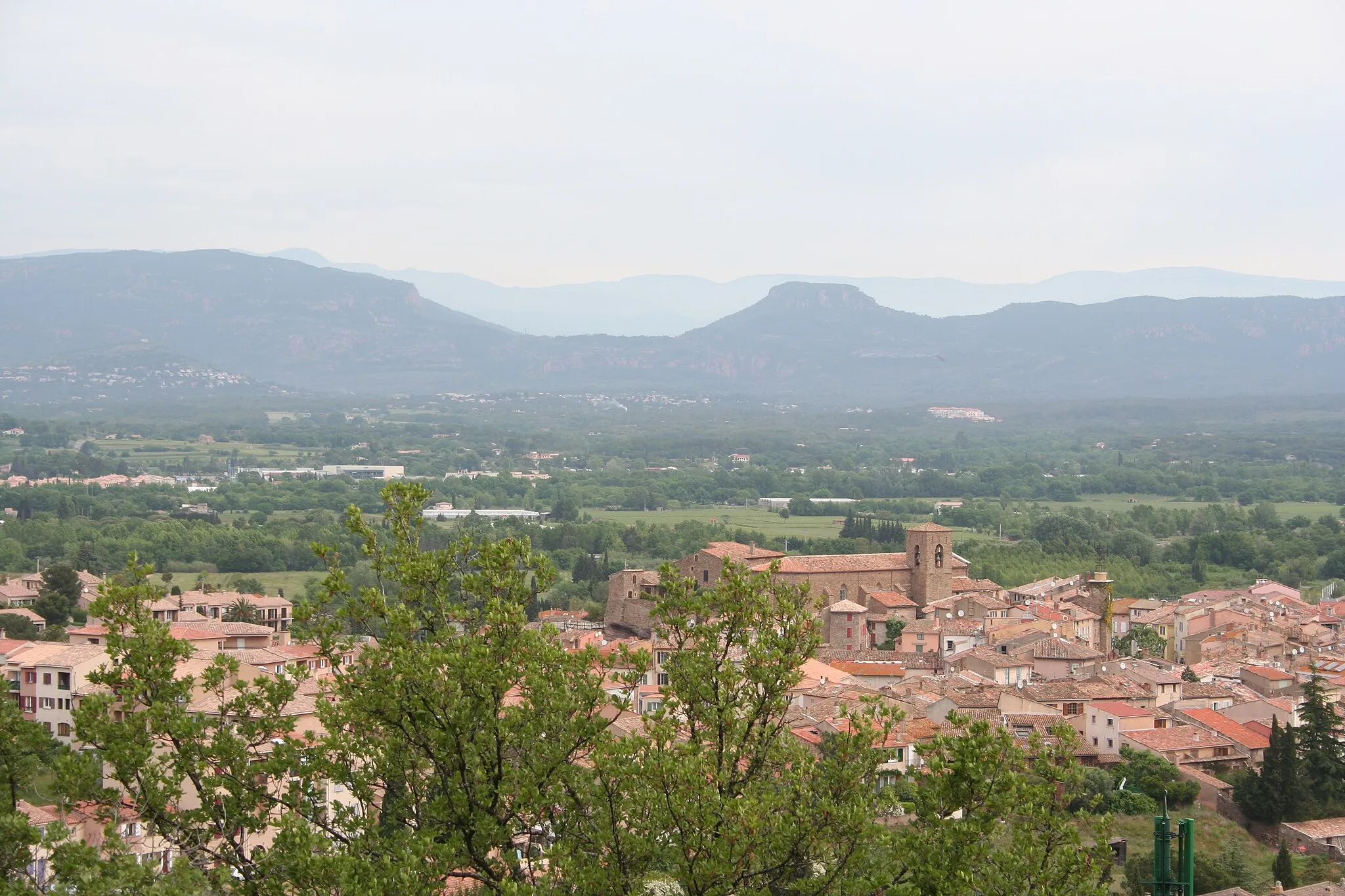
Le Plan-de-la-Tour is a small locality located in the Provence-Alpes-Côte d'Azur region of France. From a cyclist's perspective, the roads in this area are quite scenic and offer a mix of flat and hilly terrain. There are several well-known climbs nearby, such as Col de Vence and Col du Brouis, which attract many road cyclists. Additionally, the area is known for its vineyards and wineries, making it a great destination for wine enthusiasts. Overall, Le Plan-de-la-Tour is a fantastic location for road cycling and offers a beautiful backdrop for outdoor enthusiasts.
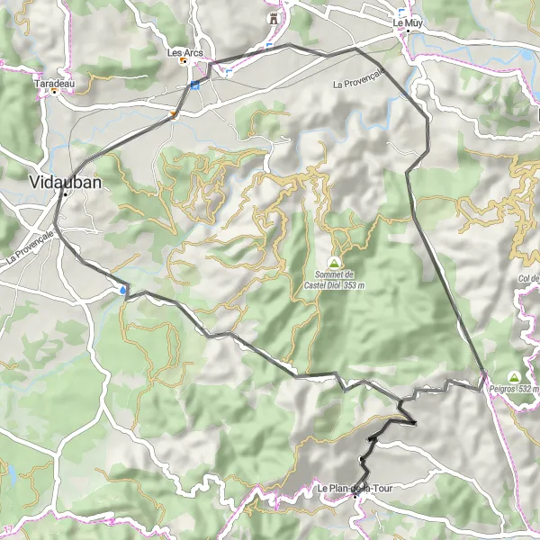
Scenic Mountain Circuit

Embark on a scenic mountain circuit that will take you through stunning landscapes and charming towns of Provence-Alpes-Côte d’Azur.
The Scenic Mountain Circuit is a picturesque cycling route that showcases the natural beauty of Provence-Alpes-Côte d’Azur. With a distance of 151 kilometers and an ascent of 2,574 meters, this road ride offers a mix of challenging climbs and rewarding descents. Highlights along the route include the historic town of Vidauban, the breathtaking views from the Col de Saint-Andrieu, and the tranquil village of Claviers. Starting in Le Plan-de-la-Tour, you'll have the opportunity to explore the region's diverse landscapes and immerse yourself in the local culture.
Discover hidden gems along this scenic gravel loop through the idyllic landscapes of Provence-Alpes-Côte d’Azur.
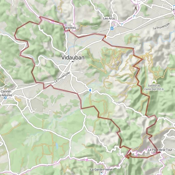
The Hidden Gems Gravel Loop takes you on an adventure to uncover the hidden treasures of Provence-Alpes-Côte d’Azur. With a total distance of 71 kilometers and an ascent of 1,402 meters, this gravel route is perfect for those looking to explore off the beaten path. Highlights include the stunning views from Colle Dure, the picturesque village of Pey Long, and the charming town of Taradeau. Starting in Le Plan-de-la-Tour, this route offers a perfect balance of natural beauty and cultural heritage.
The Vineyard Circuit
Explore the wine country of Provence-Alpes-Côte d’Azur on this scenic cycling route
The Vineyard Circuit offers cyclists a unique opportunity to explore the renowned vineyards of the Provence-Alpes-Côte d’Azur region. This 56-kilometer route takes you through picturesque landscapes, charming villages, and of course, some of the best wine-producing areas in France. With a total ascent of 681 meters, this route is suitable for both experienced cyclists and beginners looking to discover the region's rich wine culture. Highlights along the route include Le Plan-de-la-Tour, where you can experience the local hospitality and taste the region's famous wines, Vidauban, a picturesque village known for its wine estates and tasting rooms, and the historic Château Sainte-Roseline, where you can learn about the wine-making process and enjoy panoramic views of the vineyards. The Vineyard Circuit showcases the best of what the region has to offer in terms of cycling and wine, making it a truly memorable experience for cyclists of all levels.
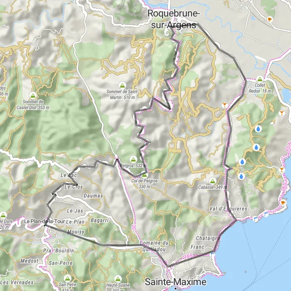
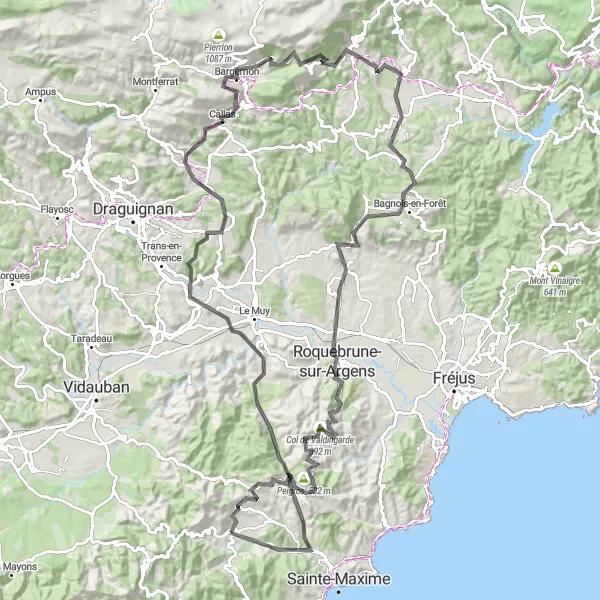
Experience the beauty of Provence with this road cycling route starting near Le Plan-de-la-Tour.
This road cycling route takes you through picturesque landscapes and charming villages of Provence. It offers a memorable cycling experience with moderate difficulty and stunning scenery. Explore the famous Col de Valdingarde and enjoy breathtaking views of Roquebrune-sur-Argens and Sainte-Maxime. Don't miss the chance to visit the beautiful Vallat d'Emponse along the way.
The Gravel Adventure
Discover the rugged beauty of Provençal countryside and coastal landscapes.
Embark on an exciting cycling adventure through the picturesque region of Le Plan-de-la-Tour in Provence-Alpes-Côte d’Azur, France. This gravel route will take you on a journey through scenic landscapes, charming villages, and breathtaking viewpoints. The ride offers a perfect combination of challenging terrain and natural beauty, making it a must-do for gravel enthusiasts. With a total ascent of 1562 meters and a distance of 62 kilometers, this route guarantees a thrilling and unforgettable experience for cyclists of all levels.
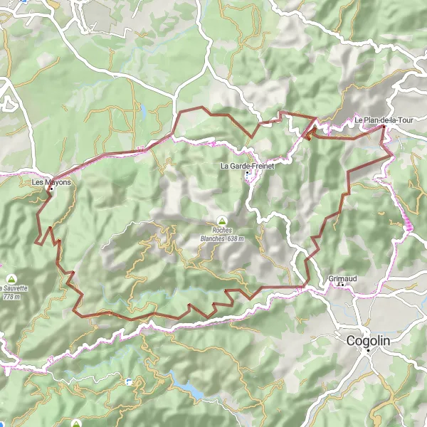
Discover Gravel Cycling
Explore the world of gravel cycling near Le Plan-de-la-Tour.
Get off the beaten path and discover the thrill of gravel cycling near Le Plan-de-la-Tour. This route offers a mix of challenging terrain and stunning natural landscapes. Enjoy the scenic views of Peygros and Pignans, and make a stop in the picturesque La Roquette. Collet de Preires is a must-visit highlight with its panoramic views. Experience the excitement of gravel cycling in this unique route.

Embark on a thrilling gravel cycling adventure near Le Plan-de-la-Tour.
Experience the thrill of gravel cycling near Le Plan-de-la-Tour with this challenging route. From the magnificent Sommet des Terriers to the breathtaking Gorges du Blavet, this adventure is perfect for those seeking a test of their skills. Don't miss the opportunity to visit the picturesque La Motte and enjoy the stunning views from Roquebrune-sur-Argens.
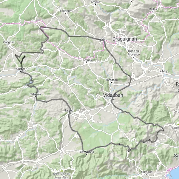
The Var Loop
A picturesque route through the Var region of Provence-Alpes-Côte d’Azur
The Var Loop is a stunning cycling route that takes you through the beautiful Var region of Provence-Alpes-Côte d’Azur. With its rolling hills, charming villages, and breathtaking coastal views, this route is a must-do for cyclists of all levels. The route is challenging but manageable, with a total ascent of 1957 meters over a distance of 125 kilometers. The highlights along the route include Le Plan-de-la-Tour, a quaint village known for its local charm, the stunning Gorges du Blavet, and the picturesque Vallat d'Emponse. Overall, the Var Loop offers cyclists a unique and unforgettable experience.

Experience the stunning scenery of Provence-Alpes-Côte d’Azur with this challenging route through majestic mountains and picturesque valleys.
The Mountain Valley Loop is a challenging yet rewarding cycling route that takes you through the beautiful landscapes of Provence-Alpes-Côte d’Azur. With a total distance of 180 kilometers and an ascent of 2,746 meters, this ride is recommended for well-trained amateurs. Along the way, you'll pass through scenic towns like Vidauban and Trans-en-Provence, and enjoy breathtaking views from the Col de Saint-Andrieu. The highlight of the route is the Le 'Mauvais Pont', a historic bridge dating back centuries.
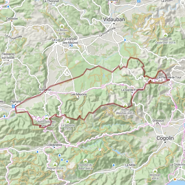
Embark on a challenging road cycling adventure near Le Plan-de-la-Tour.
Get ready for an adrenaline-pumping road cycling adventure in the surroundings of Le Plan-de-la-Tour. This route is perfect for experienced cyclists who are up for a challenge. With steep ascents, such as Peygros and Les Mayons, and picturesque landscapes, including Cros de Baucous and La Fare, this epic route will push you to your limits. Don't forget to take in the stunning views at Collet des Maïs and Flayosc.
Cycling routes nearby:


Nearby regions: