Scenic Road Cycling Route
A road cycling route starting from Le Plan-de-la-Tour
Experience the beauty of Provence with this road cycling route starting near Le Plan-de-la-Tour.
Map
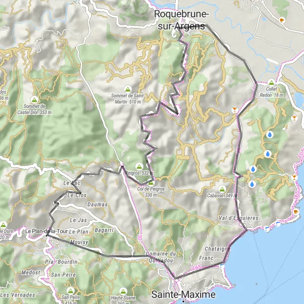
This road cycling route takes you through picturesque landscapes and charming villages of Provence. It offers a memorable cycling experience with moderate difficulty and stunning scenery. Explore the famous Col de Valdingarde and enjoy breathtaking views of Roquebrune-sur-Argens and Sainte-Maxime. Don't miss the chance to visit the beautiful Vallat d'Emponse along the way.
road
57 km
780 m
Tough
Route profile
Highlights on the route
0 km
0 km
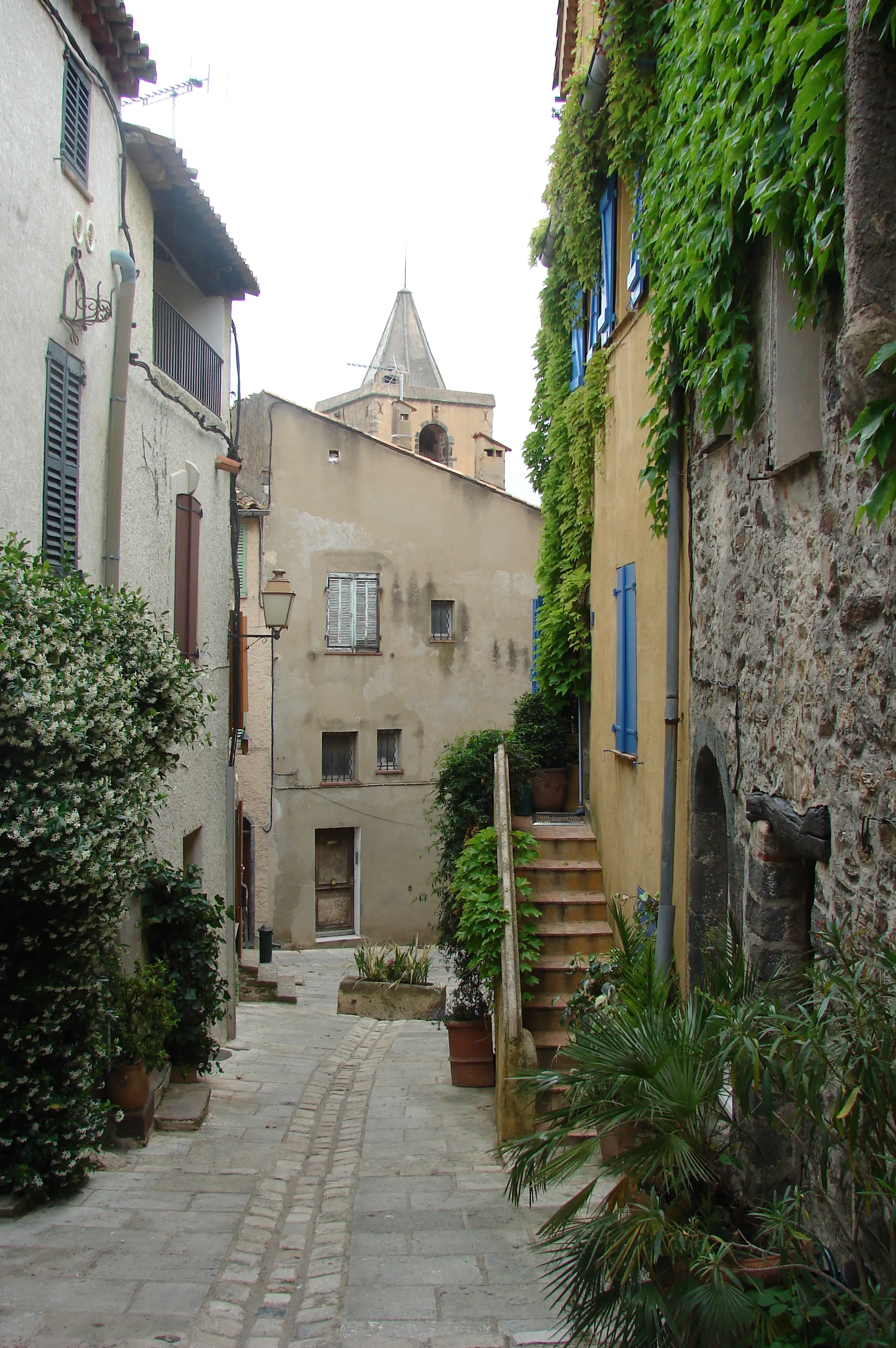
Start: Le Plan-de-la-Tour Village centerLe Plan-de-la-Tour: Scenic routes and famous climbs in the Provence-Alpes-Côte d'Azur region.
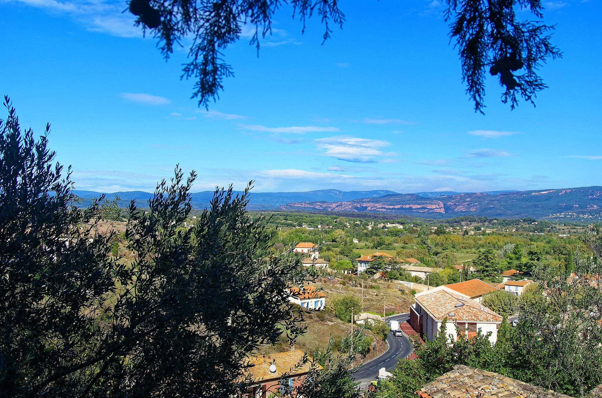
Le Plan-de-la-Tour is a small locality located in the Provence-Alpes-Côte d'Azur region of France. From a cyclist's perspective, the roads in this area are quite scenic and offer a mix of flat and hilly terrain. There are several well-known climbs nearby, such as Col de Vence and Col du Brouis, which attract many road cyclists. Additionally, the area is known for its vineyards and wineries, making it a great destination for wine enthusiasts. Overall, Le Plan-de-la-Tour is a fantastic location for road cycling and offers a beautiful backdrop for outdoor enthusiasts.0 km
0 km
Le Plan-de-la-TourVillageStart your journey in Le Plan-de-la-Tour, a quaint village in Provence.
13 km
13 km
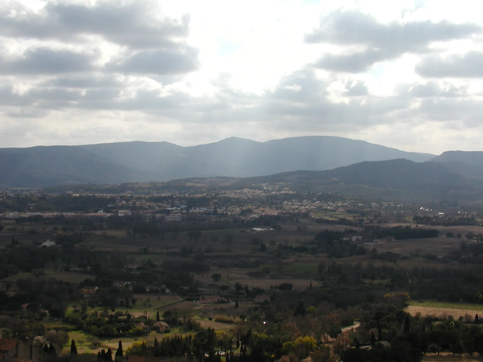
Peigros532 mPeakMake a stop in Peigros and admire its charming architecture.
19 km
19 km
Col de Valdingarde392 mMountain PassChallenge yourself with the ascent to Col de Valdingarde and enjoy panoramic views.
28 km
28 km
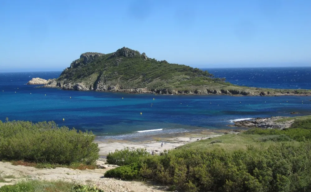
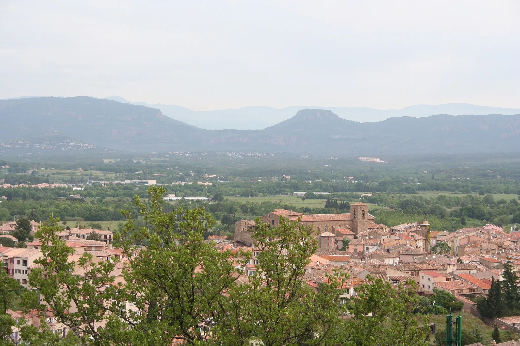
Roquebrune-sur-ArgensTownDiscover the captivating beauty of Roquebrune-sur-Argens.
41 km
41 km
Cabasse349 mPeakImmerse yourself in the peaceful atmosphere of Cabasse.
49 km
49 km
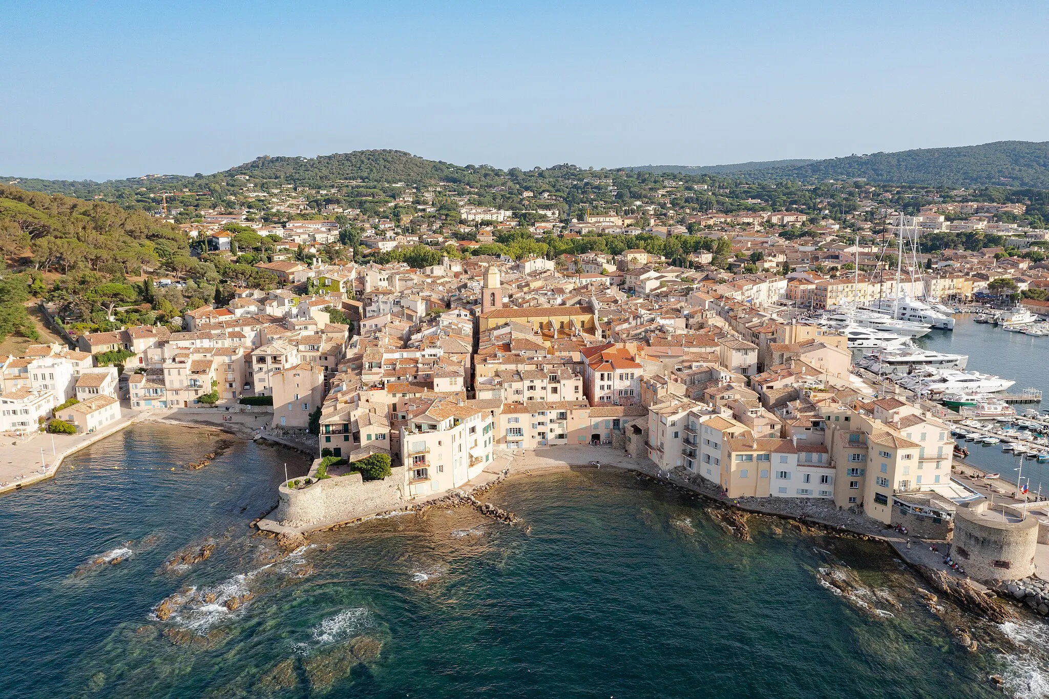
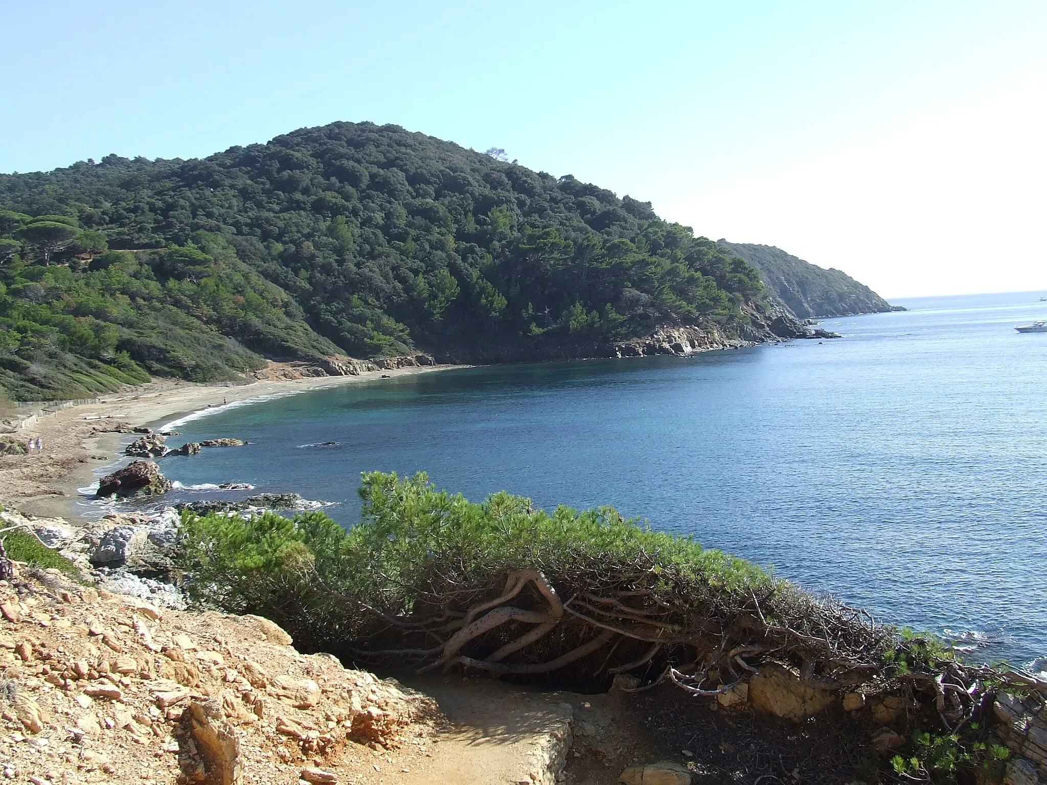
Sainte-MaximeTownExperience the vibrant beach town of Sainte-Maxime.
57 km
57 km
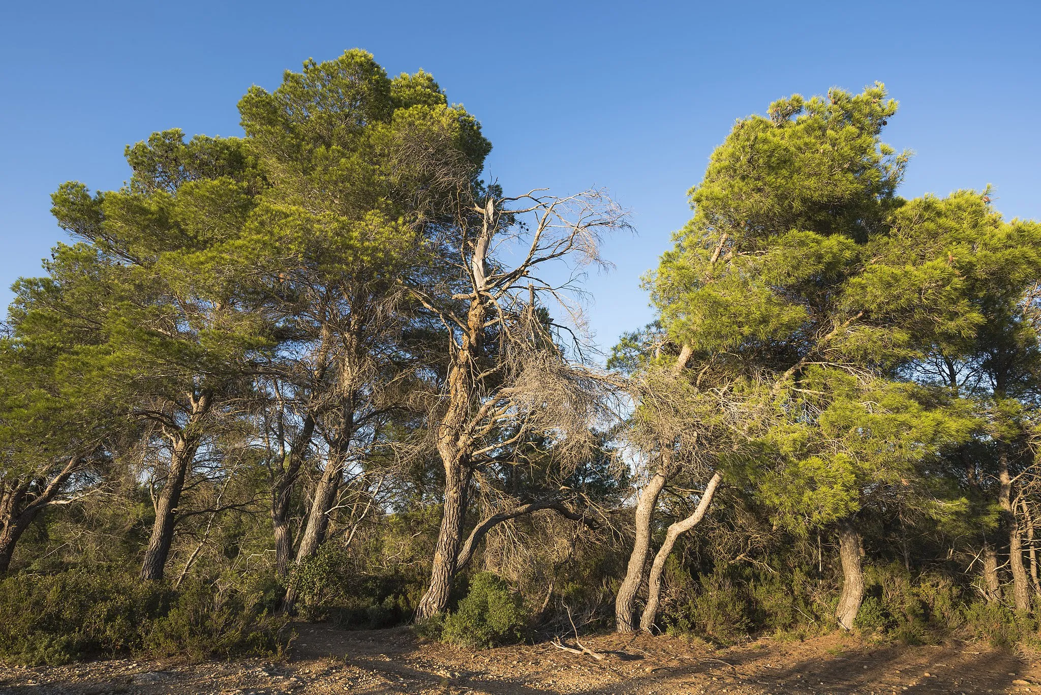
Vallat d'EmponseHamletEnd your journey at Vallat d'Emponse, a hidden gem in the region.
57 km
57 km
Finish: Le Plan-de-la-Tour Village centerLe Plan-de-la-Tour: Scenic routes and famous climbs in the Provence-Alpes-Côte d'Azur region.
Cycling routes from Le Plan-de-la-Tour:
Cycling routes nearby: