Mountain Valley Loop
A road cycling route starting from Le Plan-de-la-Tour
Experience the stunning scenery of Provence-Alpes-Côte d’Azur with this challenging route through majestic mountains and picturesque valleys.
Map

The Mountain Valley Loop is a challenging yet rewarding cycling route that takes you through the beautiful landscapes of Provence-Alpes-Côte d’Azur. With a total distance of 180 kilometers and an ascent of 2,746 meters, this ride is recommended for well-trained amateurs. Along the way, you'll pass through scenic towns like Vidauban and Trans-en-Provence, and enjoy breathtaking views from the Col de Saint-Andrieu. The highlight of the route is the Le 'Mauvais Pont', a historic bridge dating back centuries.
road
180 km
2746 m
Tough
Route profile
Highlights on the route
0 km
0 km
Start: Le Plan-de-la-Tour Village centerLe Plan-de-la-Tour: Scenic routes and famous climbs in the Provence-Alpes-Côte d'Azur region.
Le Plan-de-la-Tour is a small locality located in the Provence-Alpes-Côte d'Azur region of France. From a cyclist's perspective, the roads in this area are quite scenic and offer a mix of flat and hilly terrain. There are several well-known climbs nearby, such as Col de Vence and Col du Brouis, which attract many road cyclists. Additionally, the area is known for its vineyards and wineries, making it a great destination for wine enthusiasts. Overall, Le Plan-de-la-Tour is a fantastic location for road cycling and offers a beautiful backdrop for outdoor enthusiasts.0 km
0 km
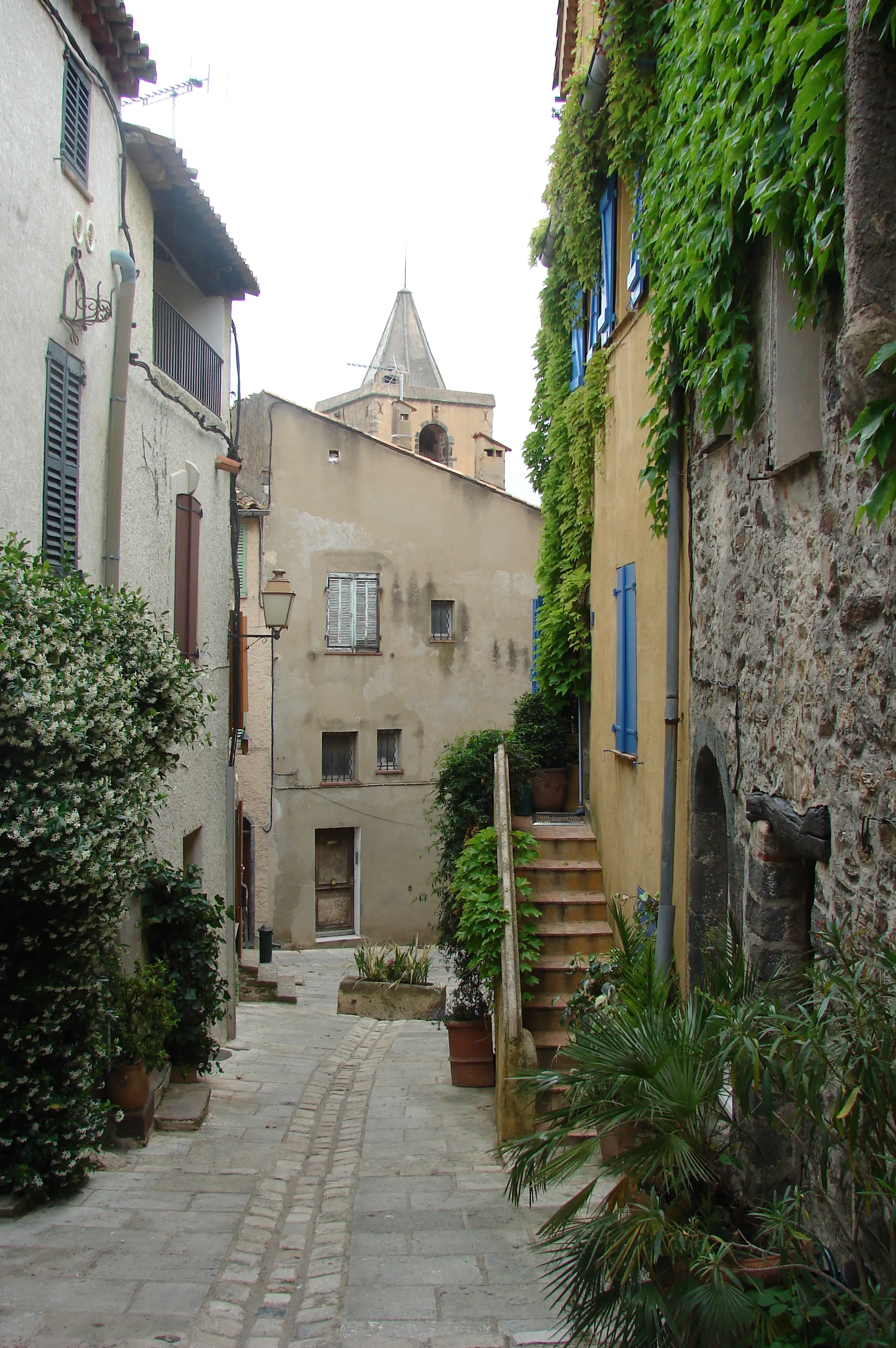
Le Plan-de-la-TourVillageAs you start your journey from Le Plan-de-la-Tour, you'll be greeted by the beautiful scenery of the area surrounding this charming village.
22 km
22 km
VidaubanTownThe town of Vidauban offers a great place for a break, with its picturesque streets and cafes.
34 km
34 km
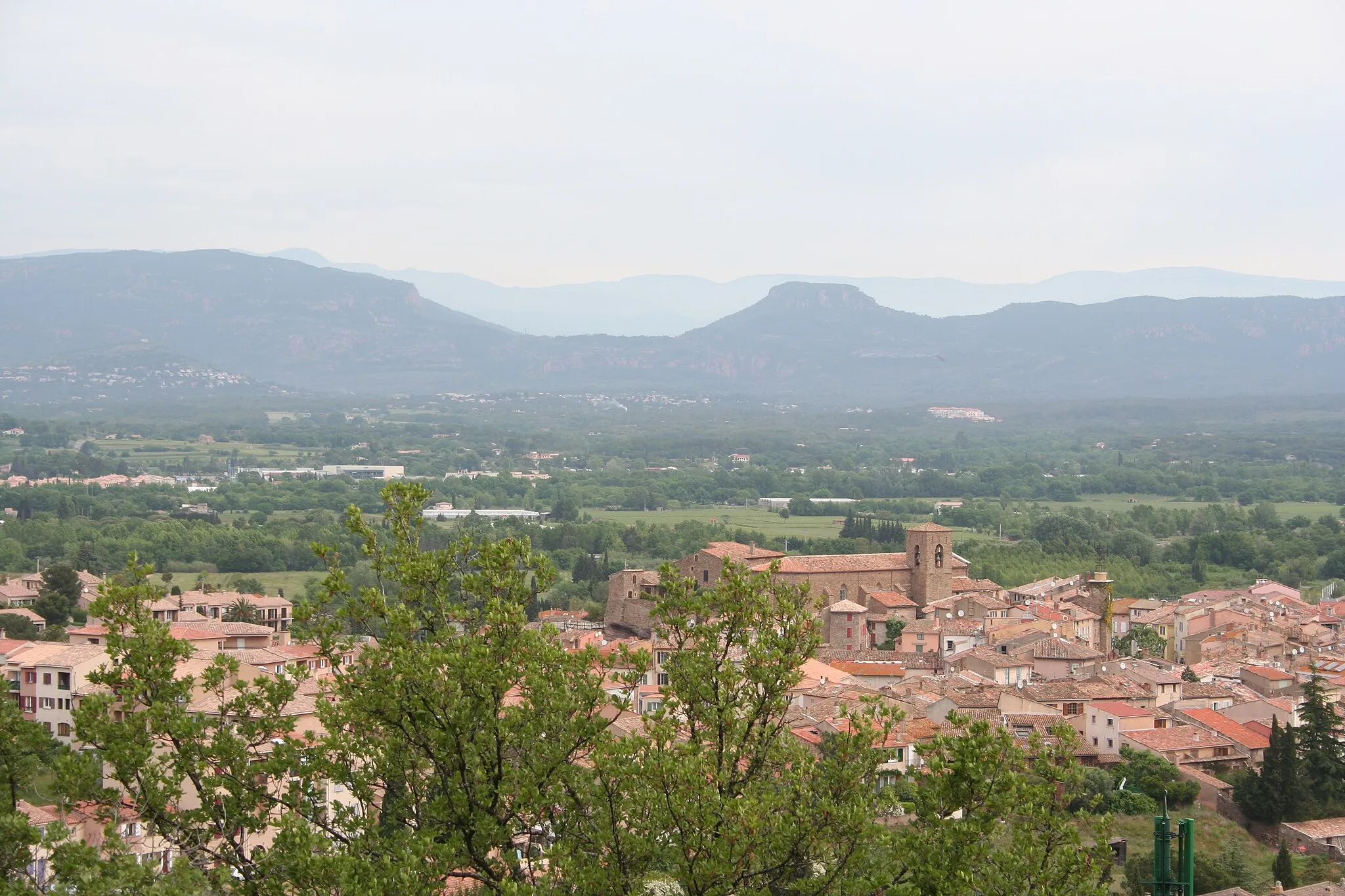
Trans-en-ProvenceVillageTrans-en-Provence, known for its medieval architecture, will transport you back in time.
46 km
46 km
FiganièresVillageThe route passes through Figanières, where you can enjoy the tranquil atmosphere of this peaceful village.
50 km
50 km
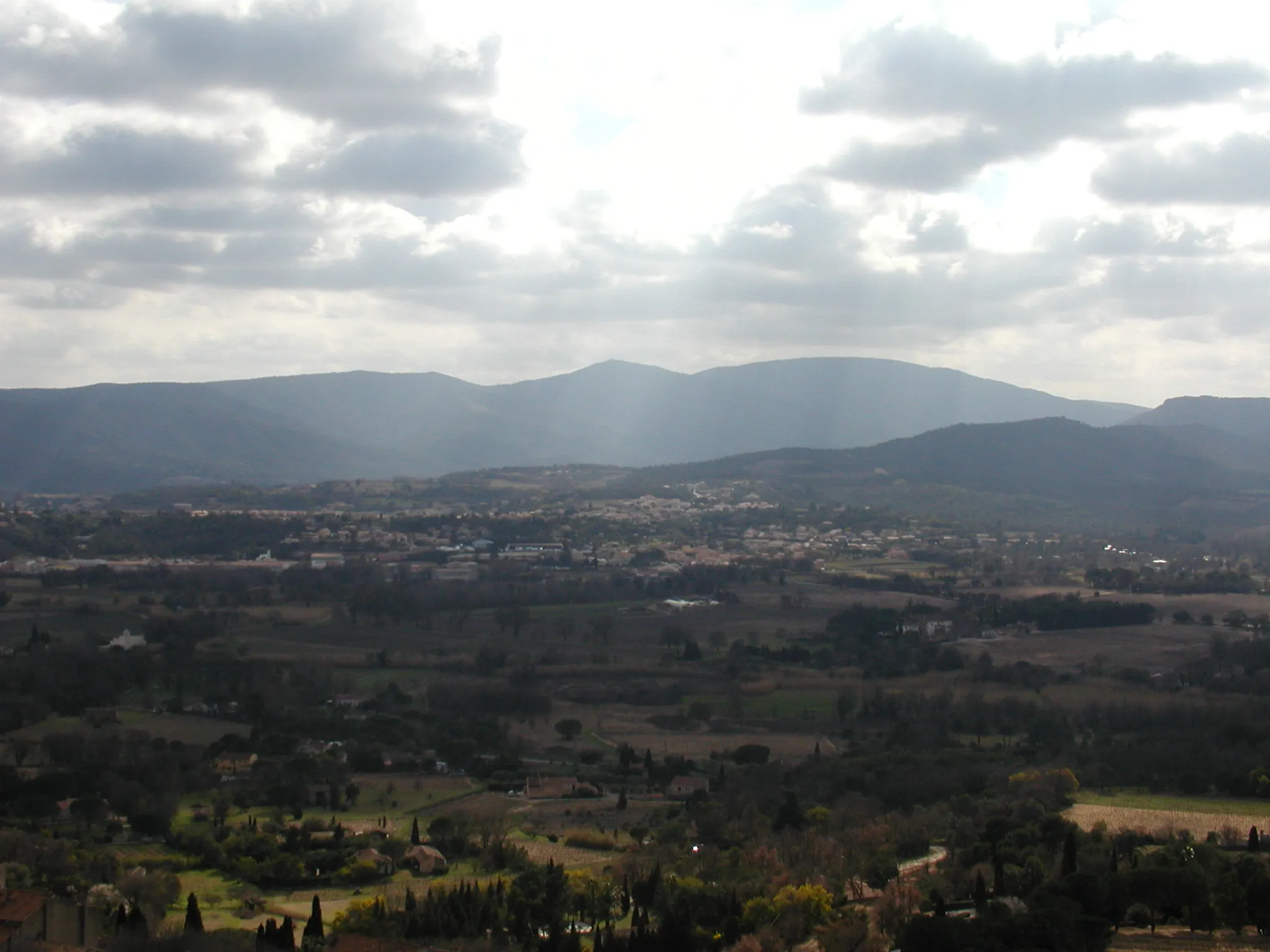
Col de Saint-Andrieu512 mMountain PassAt the Col de Saint-Andrieu, you'll be rewarded with stunning panoramic views of the surrounding countryside.
69 km
69 km
Le "Mauvais Pont"ViewpointCrossing the Le 'Mauvais Pont', a historic bridge with a fascinating story, is a highlight of this route.
70 km
70 km
Comps-sur-ArtubyVillageComps-sur-Artuby offers a serene setting and is a great place to rest and take in the natural beauty of the area.
84 km
84 km
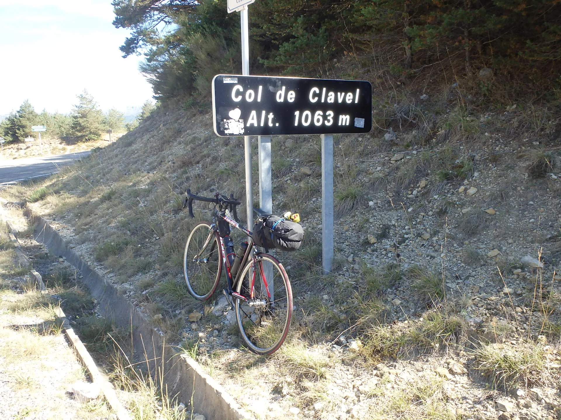
Col de Clavel1063 mMountain PassThe challenging climb up Col de Clavel will test your skills and offer breathtaking views of the mountains.
91 km
91 km
SéranonVillageAs you reach Séranon, take a moment to appreciate the calm ambiance of this small village.
113 km
113 km
Départ Canyon Siagnole de MonsAttractionDeparting from Canyon Siagnole de Mons will leave you with memories of the rugged natural beauty of the area.
134 km
134 km
Collet Rollan289 mPeakThe scenic Collet Rollan provides a challenging climb and rewards you with breathtaking views at the summit.
136 km
136 km
Bagnols-en-ForêtVillageBagnols-en-Forêt is a picturesque village that offers a tranquil atmosphere and charming architecture.
152 km
152 km
Amphithéâtre romain de FréjusCastle RuinsThe Amphithéâtre romain de Fréjus is a historic landmark that offers a glimpse into the region's rich Roman history.
164 km
164 km
Cabasse349 mPeakCabasse is a quaint village that showcases the rustic charm of Provence-Alpes-Côte d’Azur.
172 km
172 km
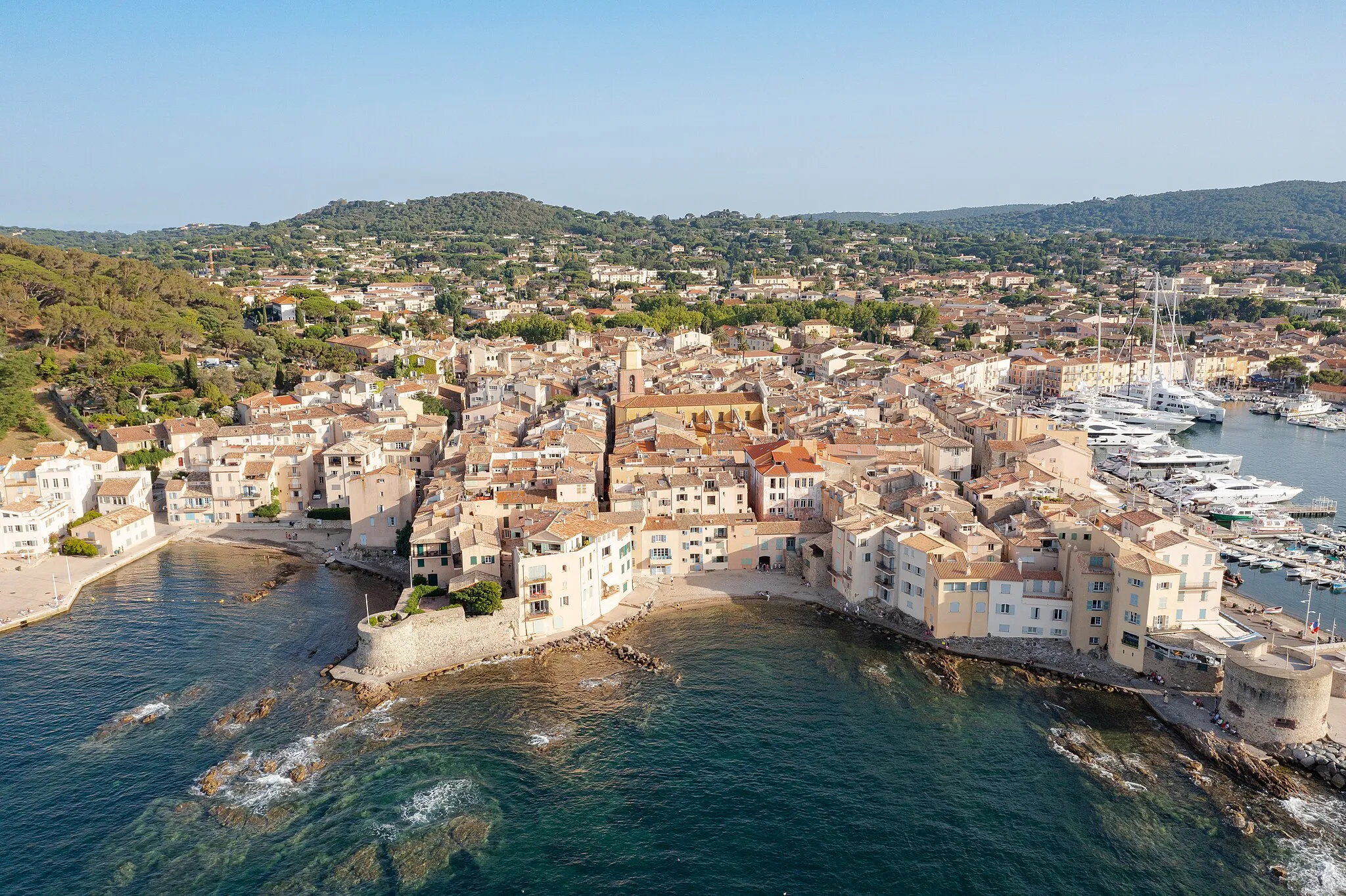
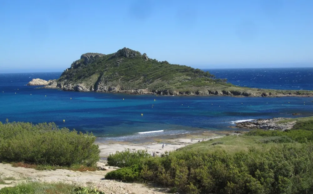
Sainte-MaximeTownSainte-Maxime is a bustling coastal town that offers stunning views of the Mediterranean Sea.
179 km
179 km
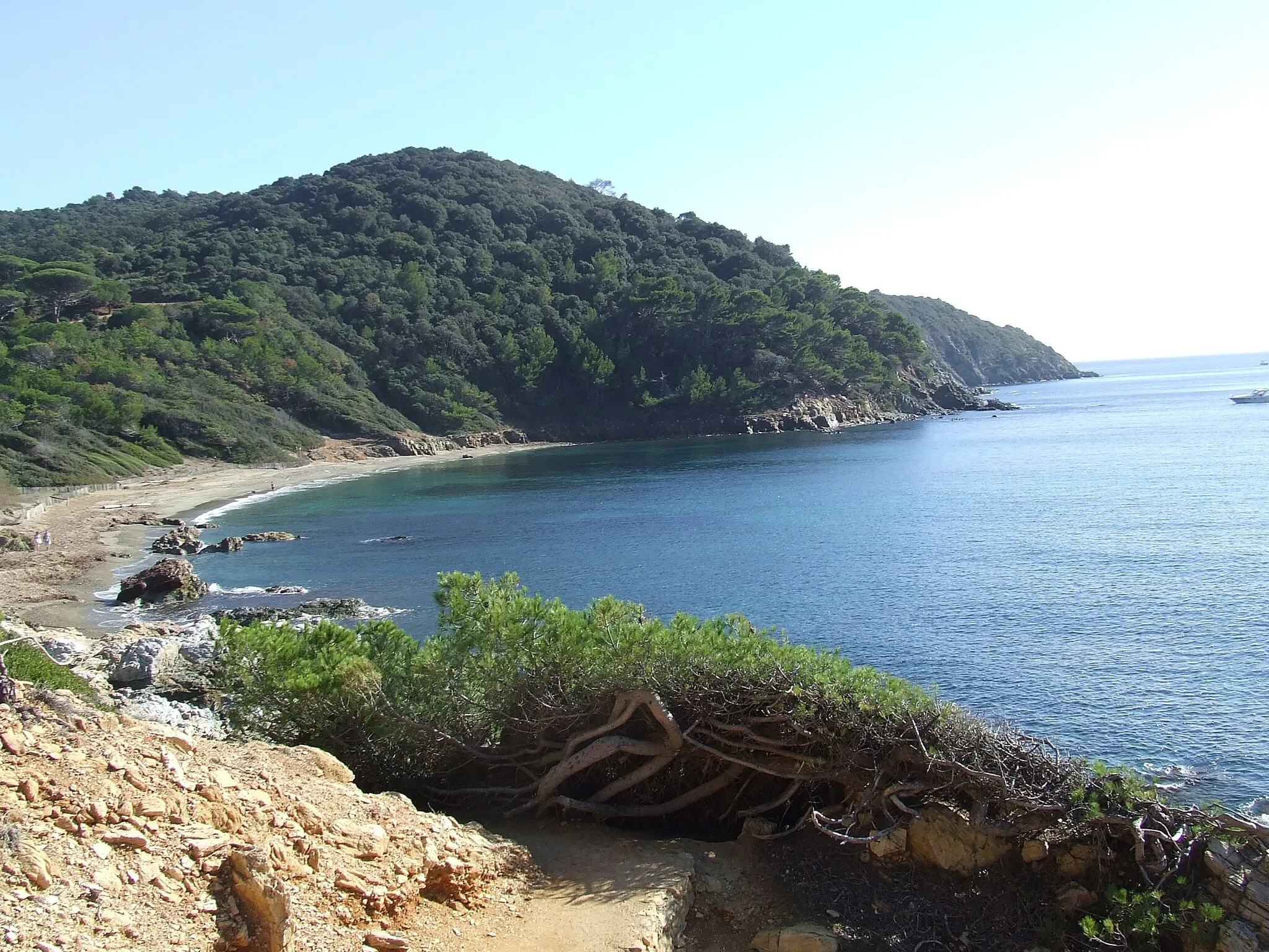
Vallat d'EmponseHamletExplore the natural beauty of Vallat d'Emponse, a serene valley with an abundance of flora and fauna.
180 km
180 km
Finish: Le Plan-de-la-Tour Village centerLe Plan-de-la-Tour: Scenic routes and famous climbs in the Provence-Alpes-Côte d'Azur region.
Cycling routes from Le Plan-de-la-Tour:
Cycling routes nearby: