Gravel Challenge to Le Castellas
A gravel cycling route starting from Cuers
Embark on a thrilling gravel ride to Le Castellas
Map
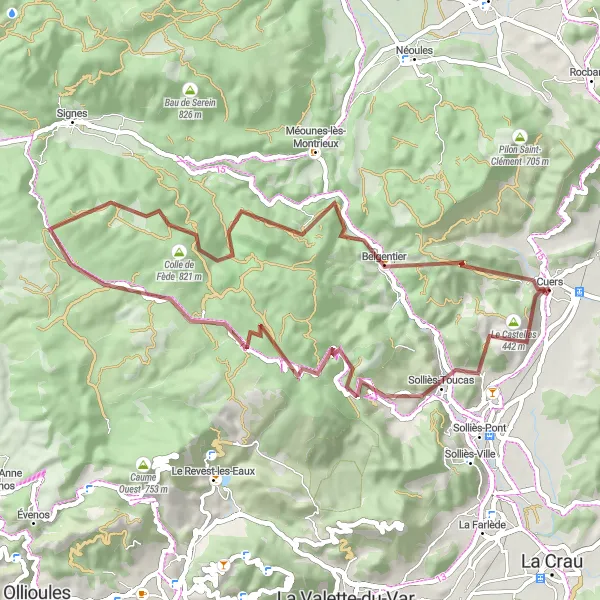
Discover the stunning landscapes of Provence-Alpes-Côte d’Azur on this challenging gravel route to Le Castellas. With a total ascent of 1532 meters and spanning 57 kilometers, this ride will test your skills and offer breathtaking views along the way. Experience the rugged terrain and immerse yourself in the natural beauty of the region.
gravel
57 km
1532 m
Tough
Route profile
Highlights on the route
0 km
0 km
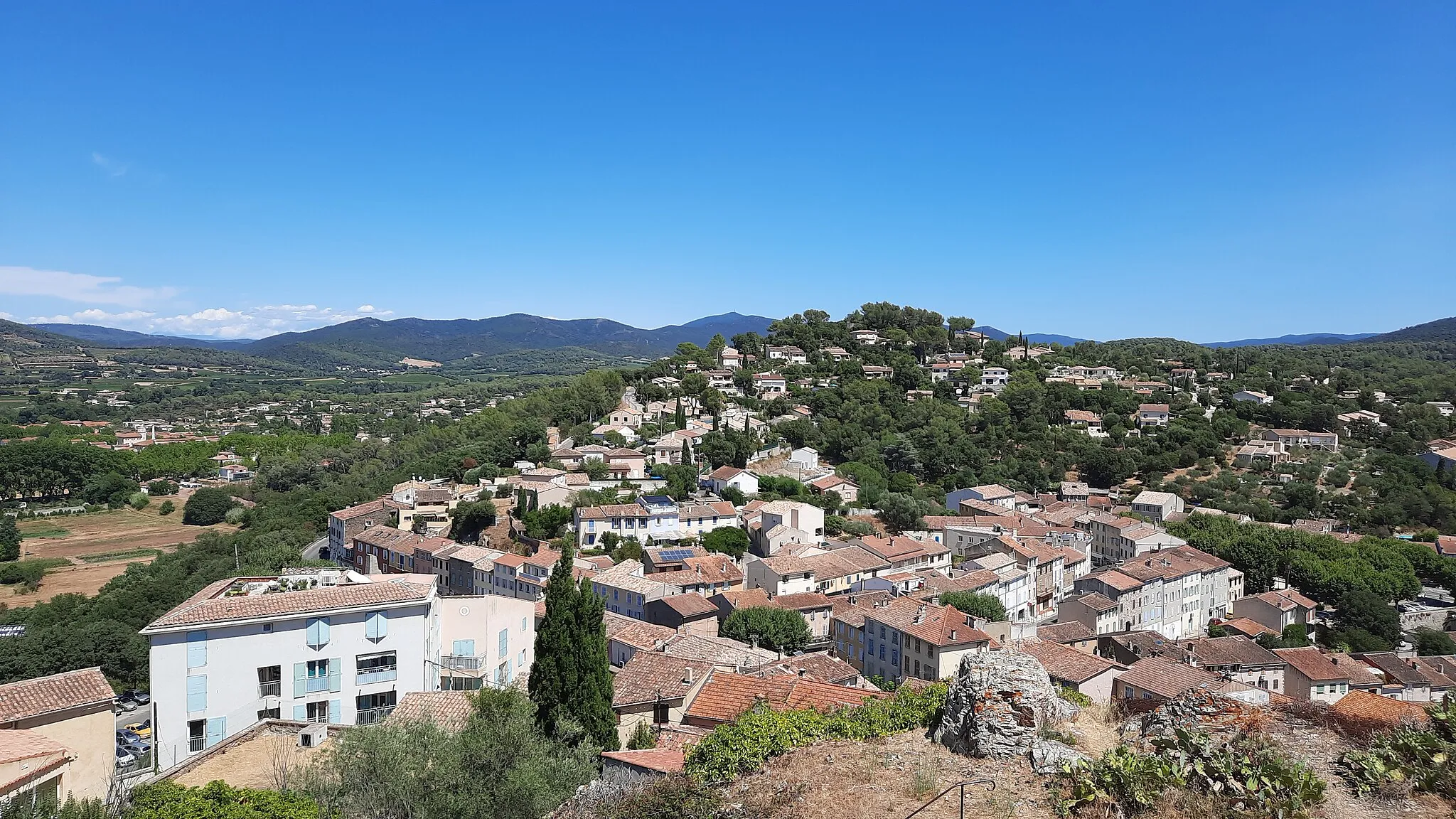
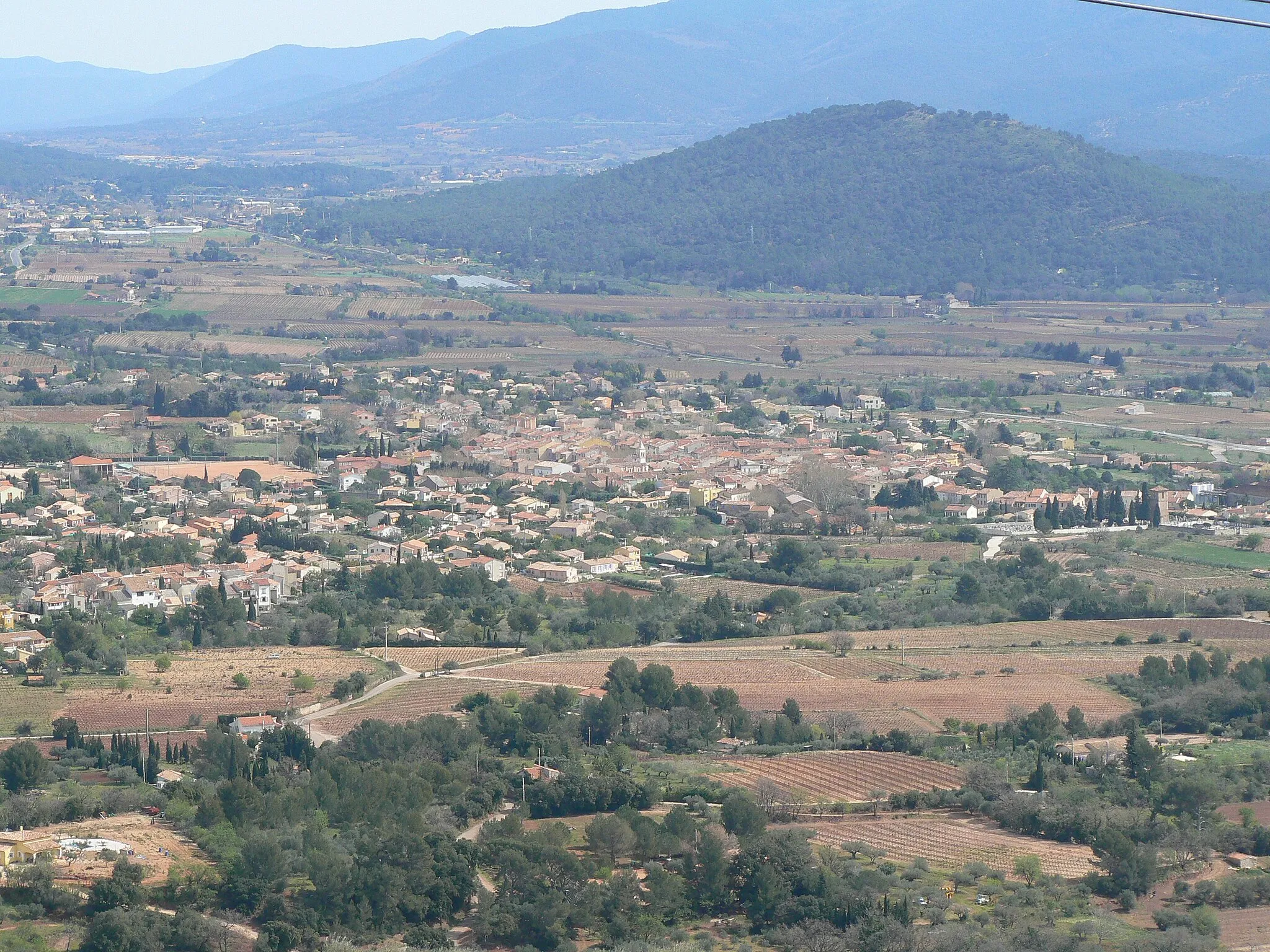
Start: Cuers Village centerCuers: Paradise for road and gravel cyclists in Provence
Cuers is a town located in the Provence-Alpes-Côte d’Azur region of France. It offers a mix of road and gravel cycling routes amidst breathtaking natural landscapes. Road cyclists can explore challenging routes with stunning views of mountains and vineyards, while gravel cyclists can adventure through the idyllic countryside. Cuers is renowned for being located in close proximity to the famous climb of Mont Ventoux, attracting professional cyclists and enthusiasts. With its diverse cycling opportunities and close access to renowned climbs, Cuers is a paradise for cyclists.3 km
3 km
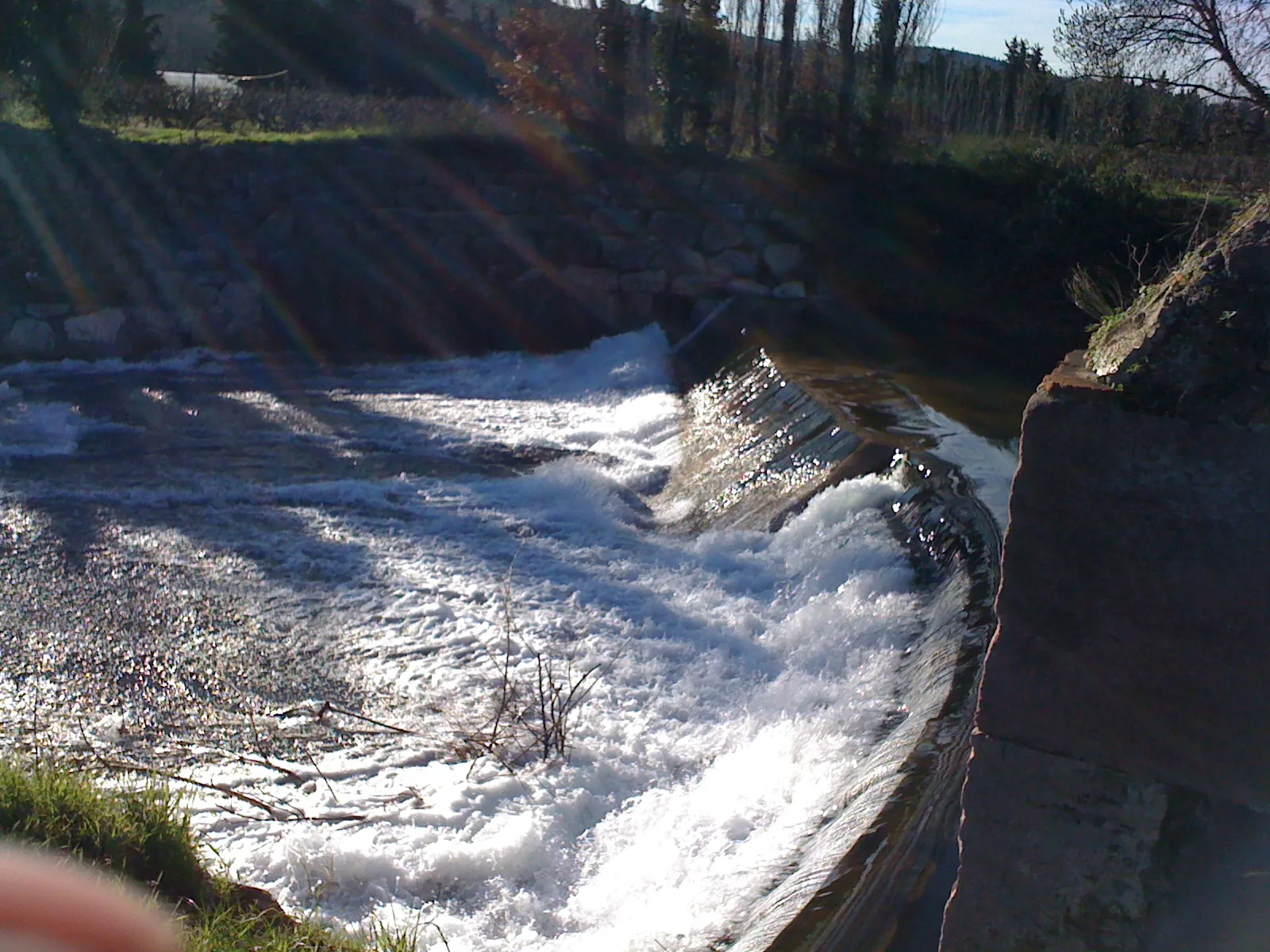
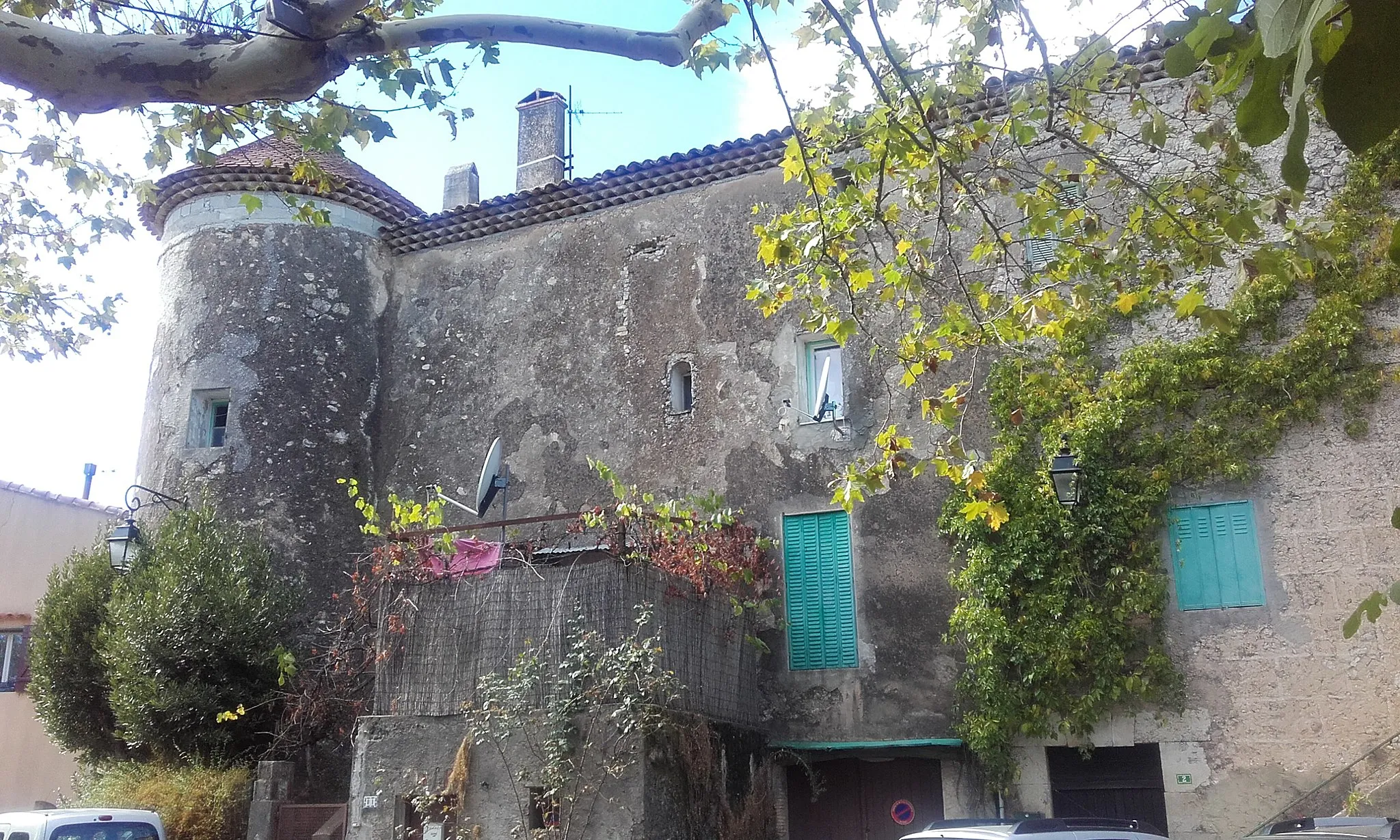
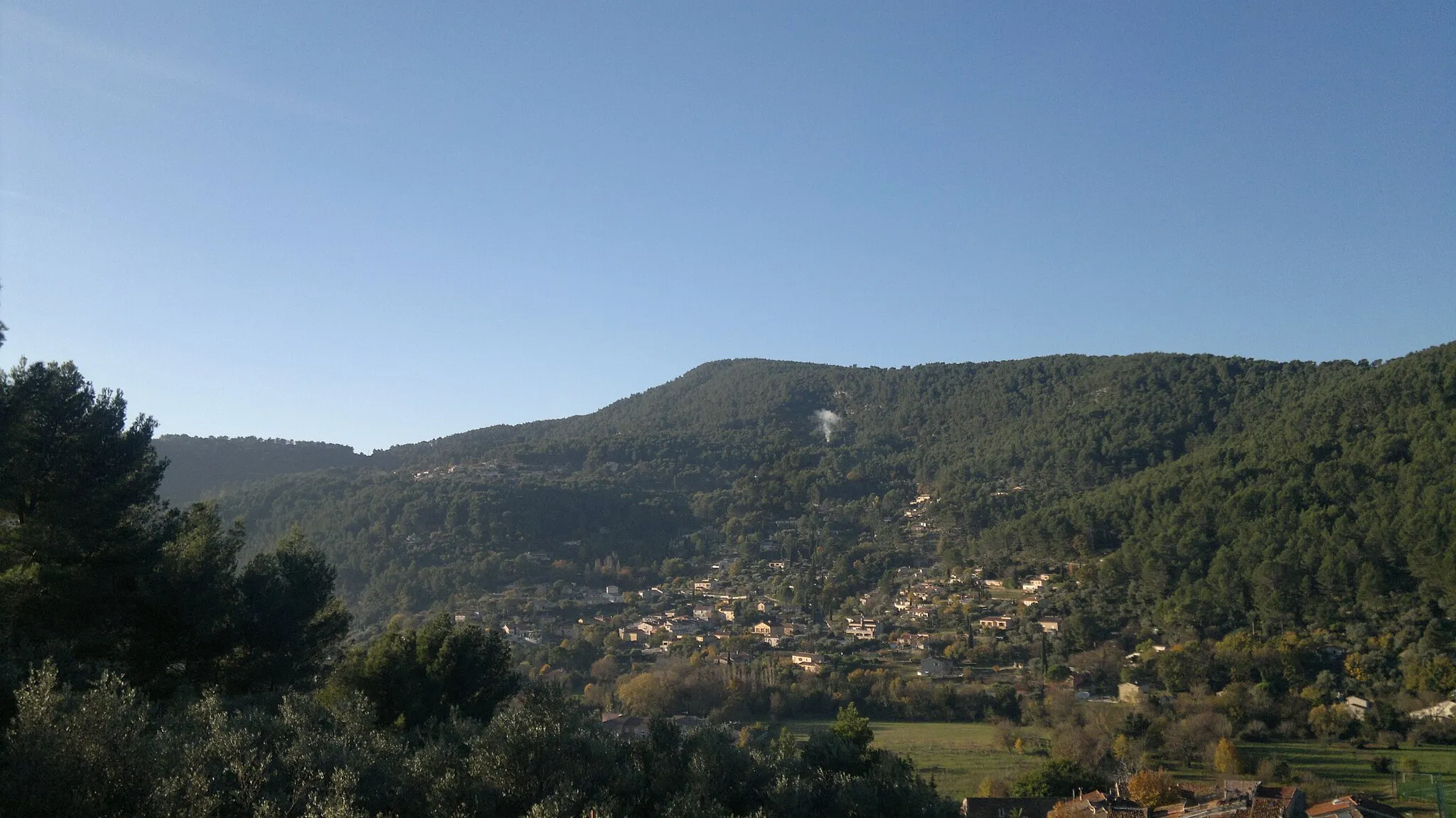
Le Castellas442 mPeakStop at Le Castellas, a historical site known for its rich heritage and stunning medieval architecture.
8 km
8 km
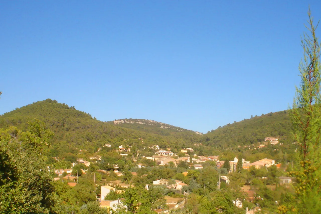
Solliès-ToucasVillage17 km
17 km
Le Grand Cap782 mPeakAdmire the panoramic views from Le Grand Cap, a picturesque vantage point.
35 km
35 km
La Grosse Tête791 mPeakVisit La Grosse Tête, a unique rock formation that offers a great photo opportunity.
49 km
49 km
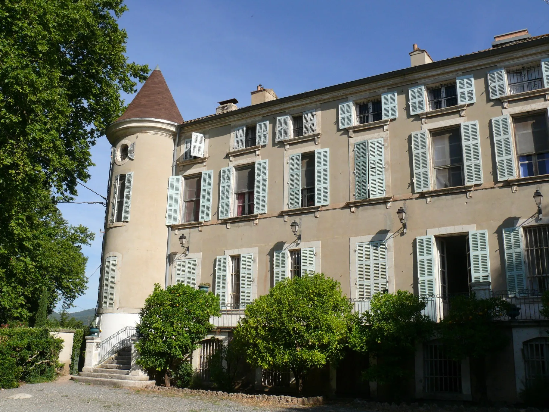
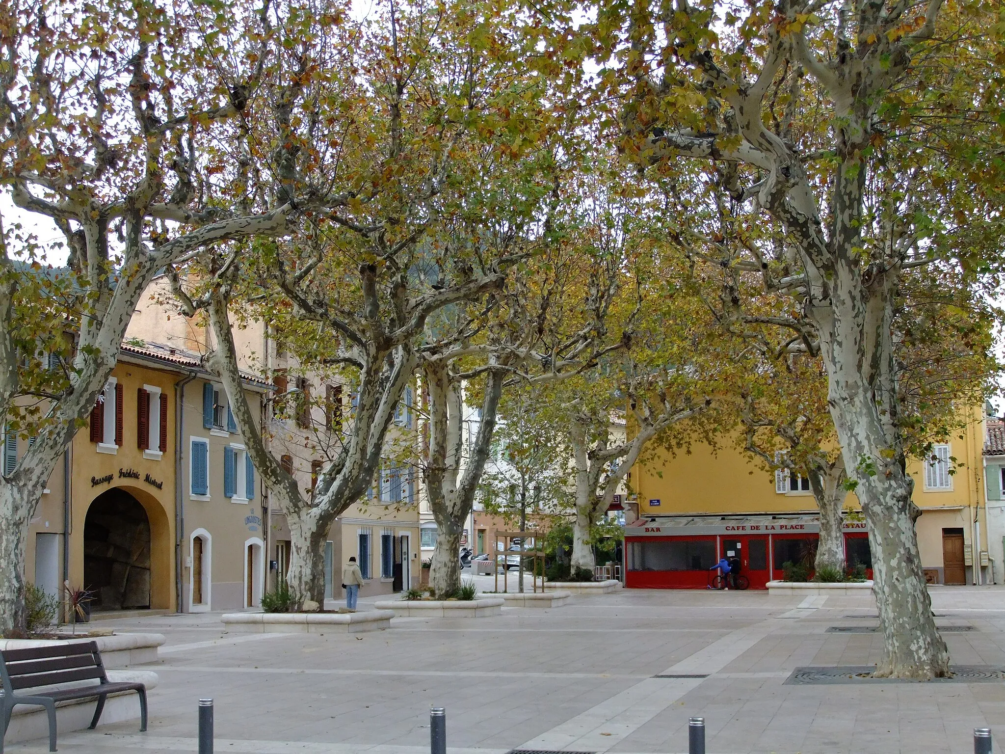
BelgentierVillageExplore the charming village of Belgentier, known for its quaint streets and traditional Provençal atmosphere.
52 km
52 km
Suque479 mPeakMake a stop at Suque, a hilltop village with panoramic views of the surrounding countryside.
57 km
57 km
Finish: Cuers Village centerCuers: Paradise for road and gravel cyclists in Provence
Cycling routes from Cuers:
Cuers to Puget-Ville Round Trip Cuers to Le Camp du Castellet Epic Route Cuers to Le Luc Country Ride Scenic Gravel Ride to Le Mourre d'Agnis Climbing Adventure to Rocbaron Gravel Challenge to Le Castellas Gravel Challenge to Mont Faron Gravel Adventure to Col de la Bigue Gravel Expedition to La Garde-Freinet Road Trip to Barjols
Cycling routes nearby: