Gravel Route to La Brillanne and Château d'Oraison
A gravel cycling route starting from Forcalquier
Explore the scenic gravel route to La Brillanne and Château d'Oraison
Map
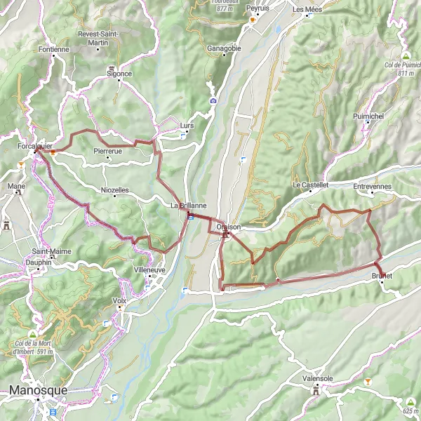
This gravel route takes you through picturesque landscapes to La Brillanne and Château d'Oraison. With an ascent of 863 meters and a distance of 67 kilometers, it provides a challenging yet rewarding cycling experience. The route is suitable for gravel bikes and offers beautiful highlights along the way.
gravel
67 km
863 m
Tough
Route profile
Highlights on the route
0 km
0 km
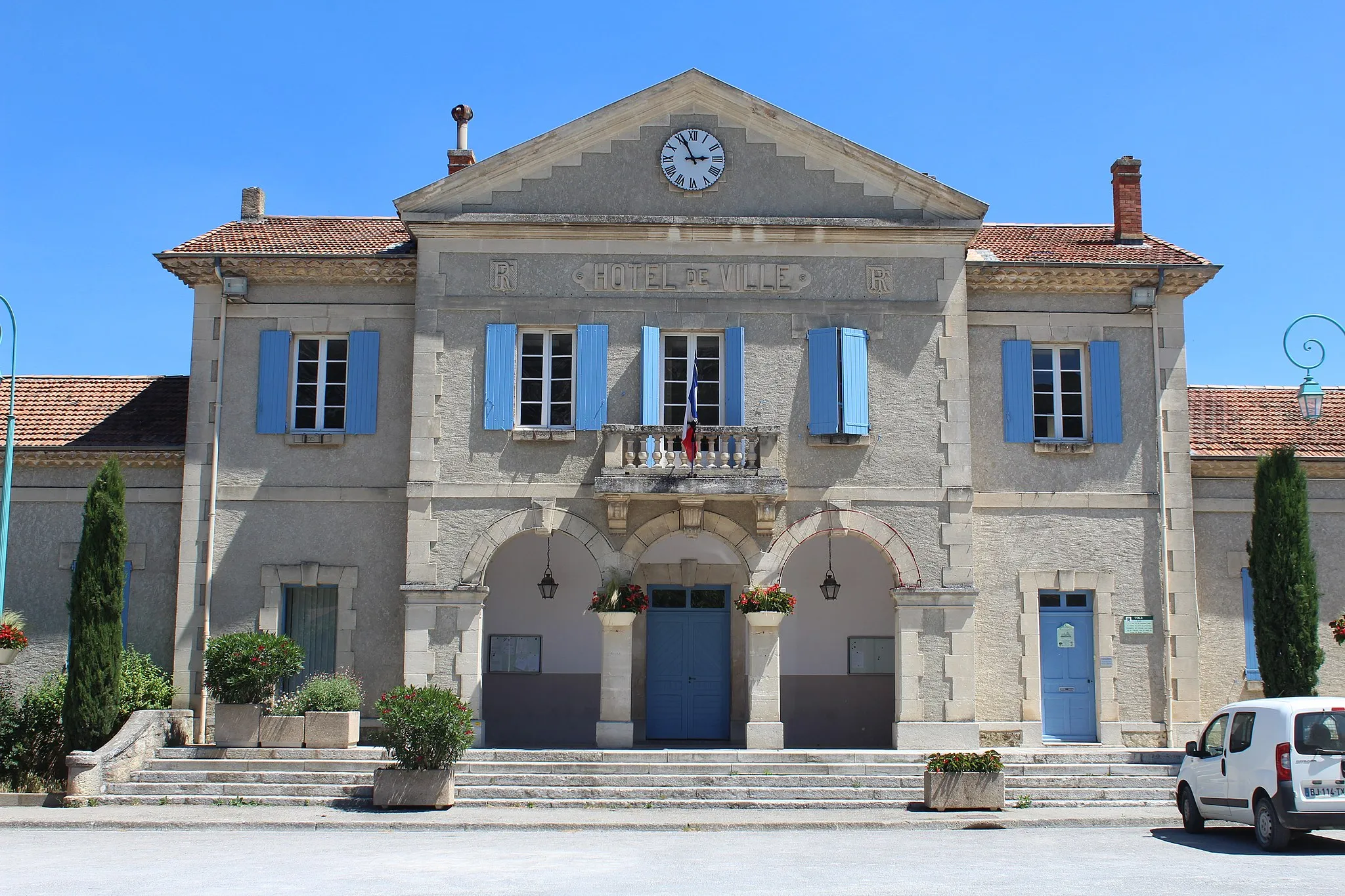
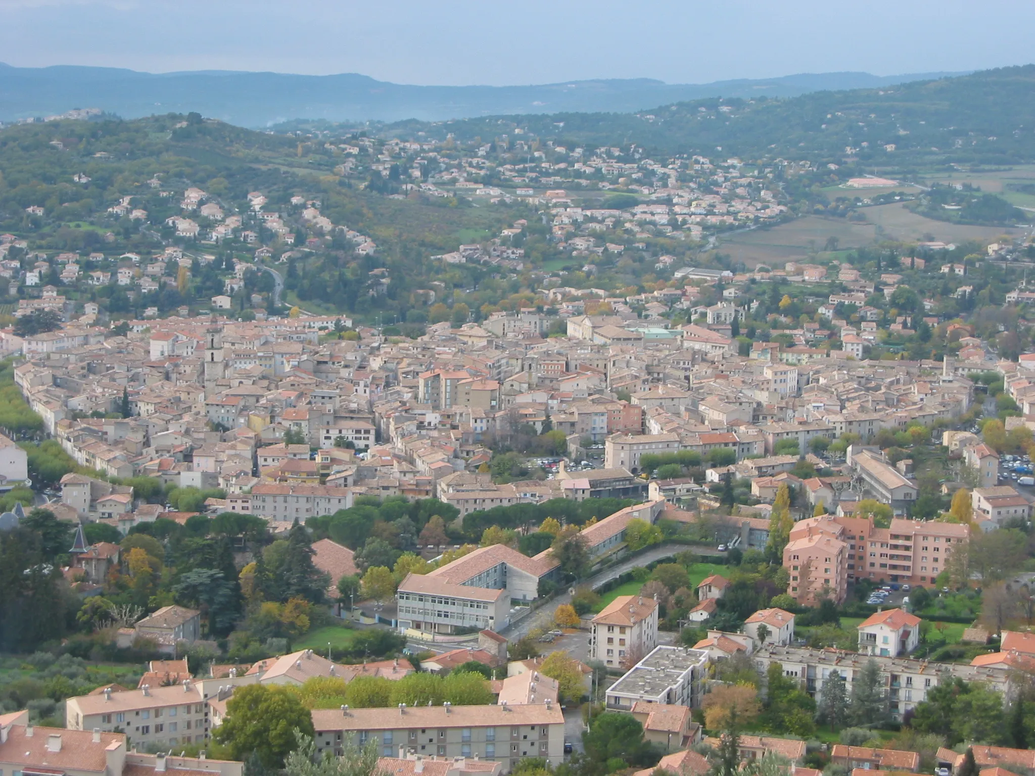
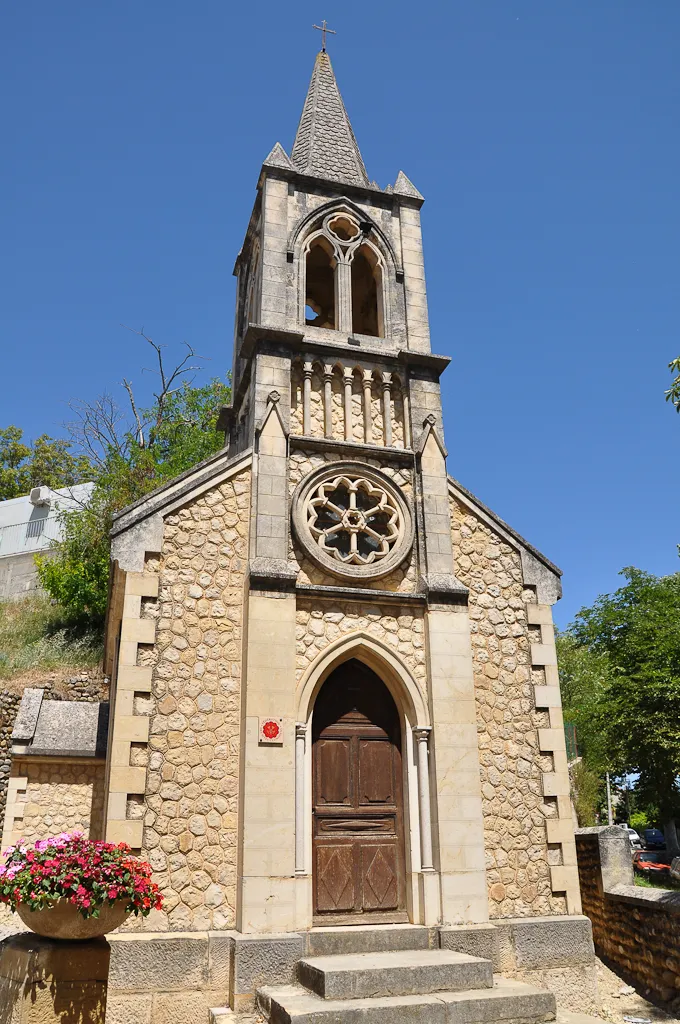
Start: Forcalquier Village centerForcalquier: Tranquil retreat with scenic beauty in Forcalquier, France
Forcalquier in Provence-Alpes-Côte d'Azur, France is a cycling-friendly locality known for its scenic beauty and peaceful atmosphere. This region offers a mix of rolling hills, beautiful lavender fields, and charming villages, creating a delightful experience for road and gravel cyclists alike. Cyclists can enjoy exploring the Luberon Natural Park and visit the famous Colorado Provençal, which provides unique and picturesque landscapes. With its tranquil surroundings and picturesque scenery, Forcalquier is a hidden gem for cyclists searching for a peaceful cycling retreat.14 km
14 km
La BrillanneVillageLa Brillanne, located 14 km into the route, offers stunning views of the surrounding countryside.
29 km
29 km
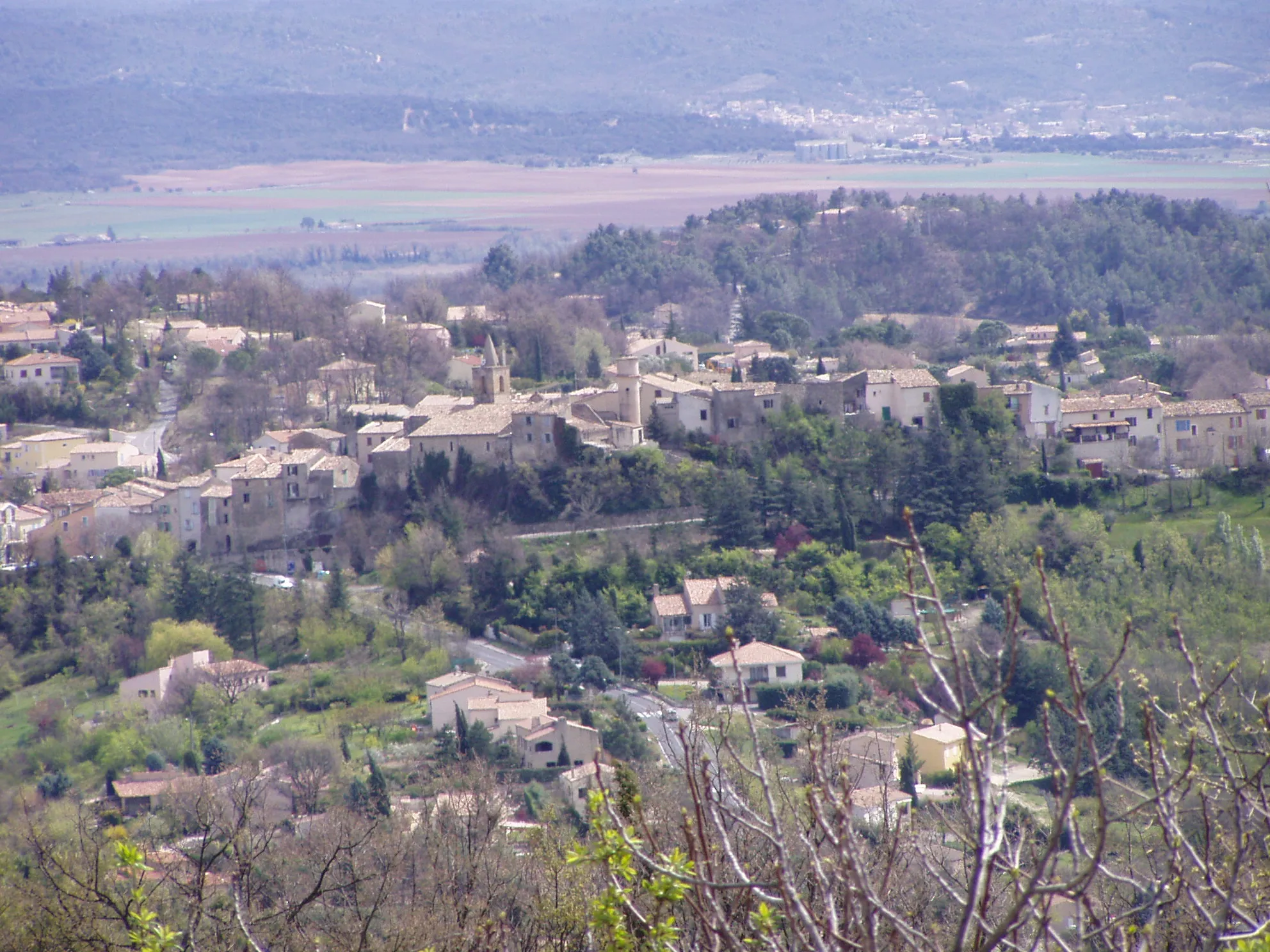
EntrevennesVillageEntrevennes, at 29 km, is a charming village known for its quaint streets and historic buildings.
49 km
49 km
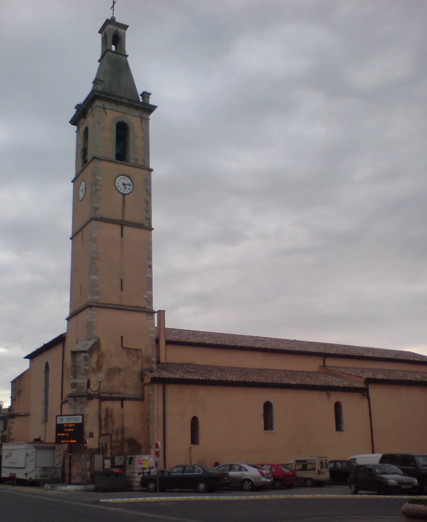
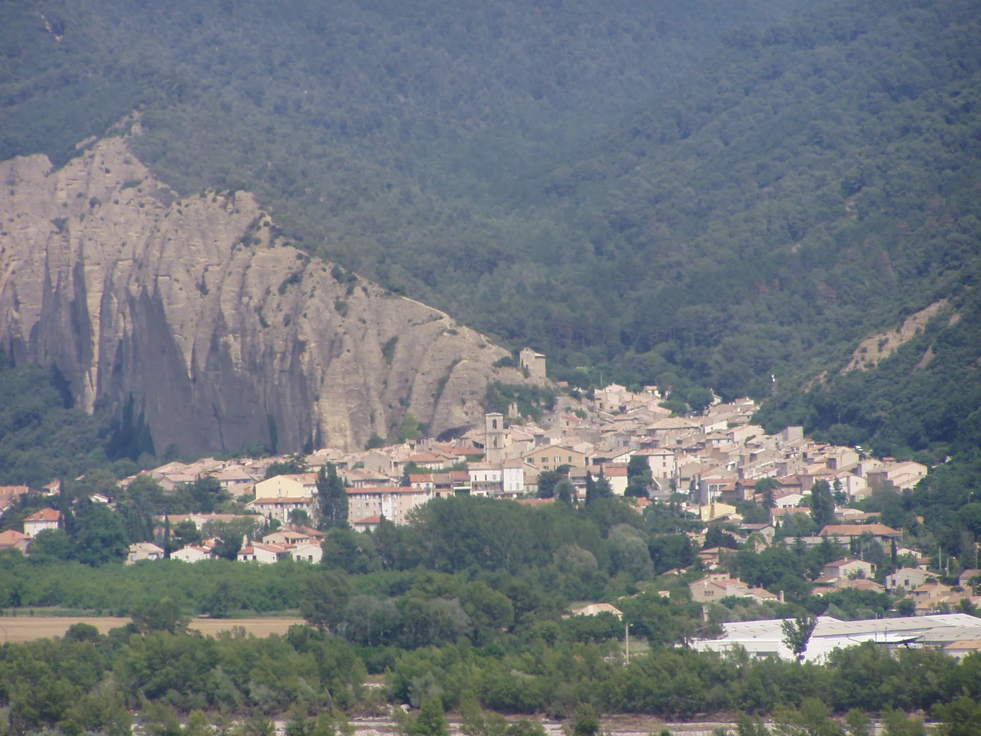
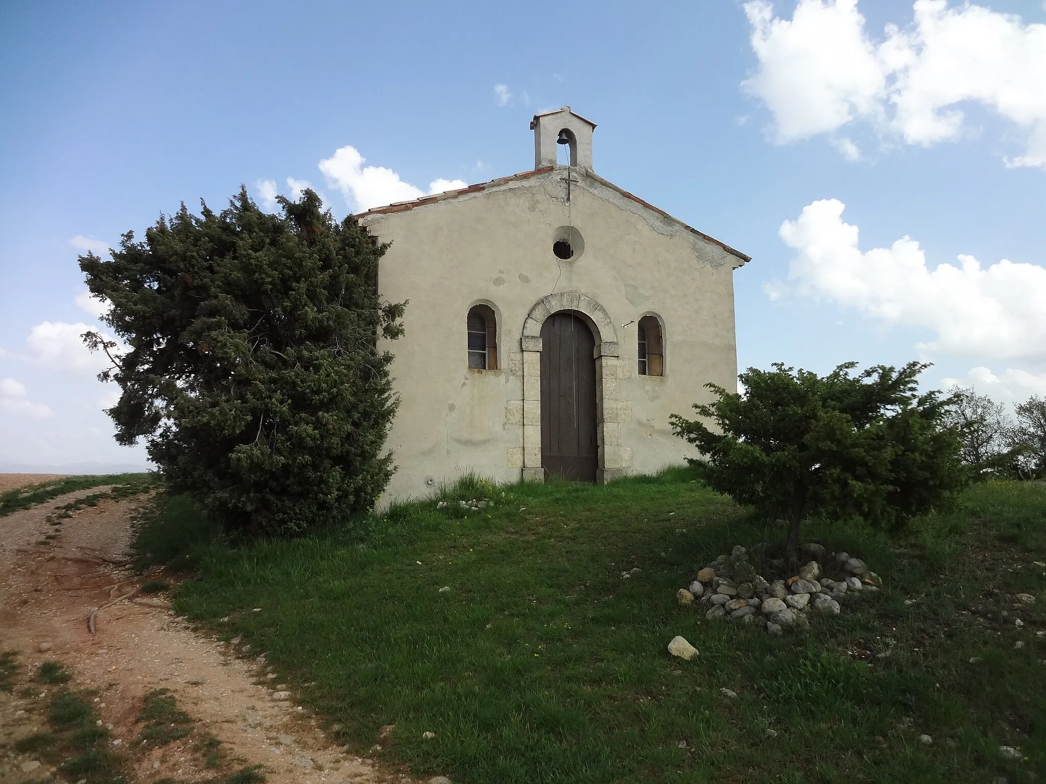
Château d'OraisonCastleChâteau d'Oraison, reached at 49 km, is an impressive medieval castle with fascinating architecture.
66 km
66 km
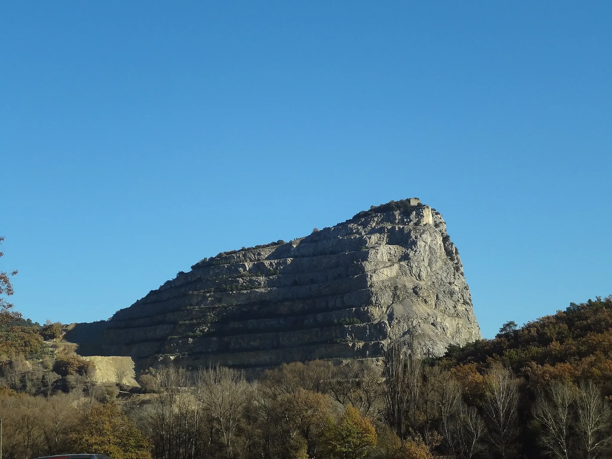
La CitadelleViewpointLa Citadelle, situated 66 km into the route, is a hilltop fortress offering panoramic views of the region.
67 km
67 km
Finish: Forcalquier Village centerForcalquier: Tranquil retreat with scenic beauty in Forcalquier, France
Cycling routes from Forcalquier:
Challenging Gravel Route through Limans and Gorges de la Méouge The Brillant Journey The Road to Forcalquier The Scenic Ride Gravel Route to La Brillanne and Château d'Oraison The Ultimate Road Challenge The Gravel Adventure Scenic Gravel Loop through Mane and Vachères Road Cycling Adventure to Col de la Mort d'Imbert and Saignon Stunning Gravel Route to Lardiers and Gorges de la Méouge
Cycling routes nearby: