Gassin to Peygros
A road cycling route starting from Gassin
Discover the charm of the Provençal countryside on a road cycling adventure from Gassin to Peygros.
Map
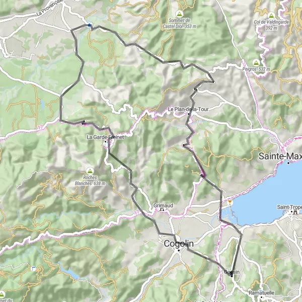
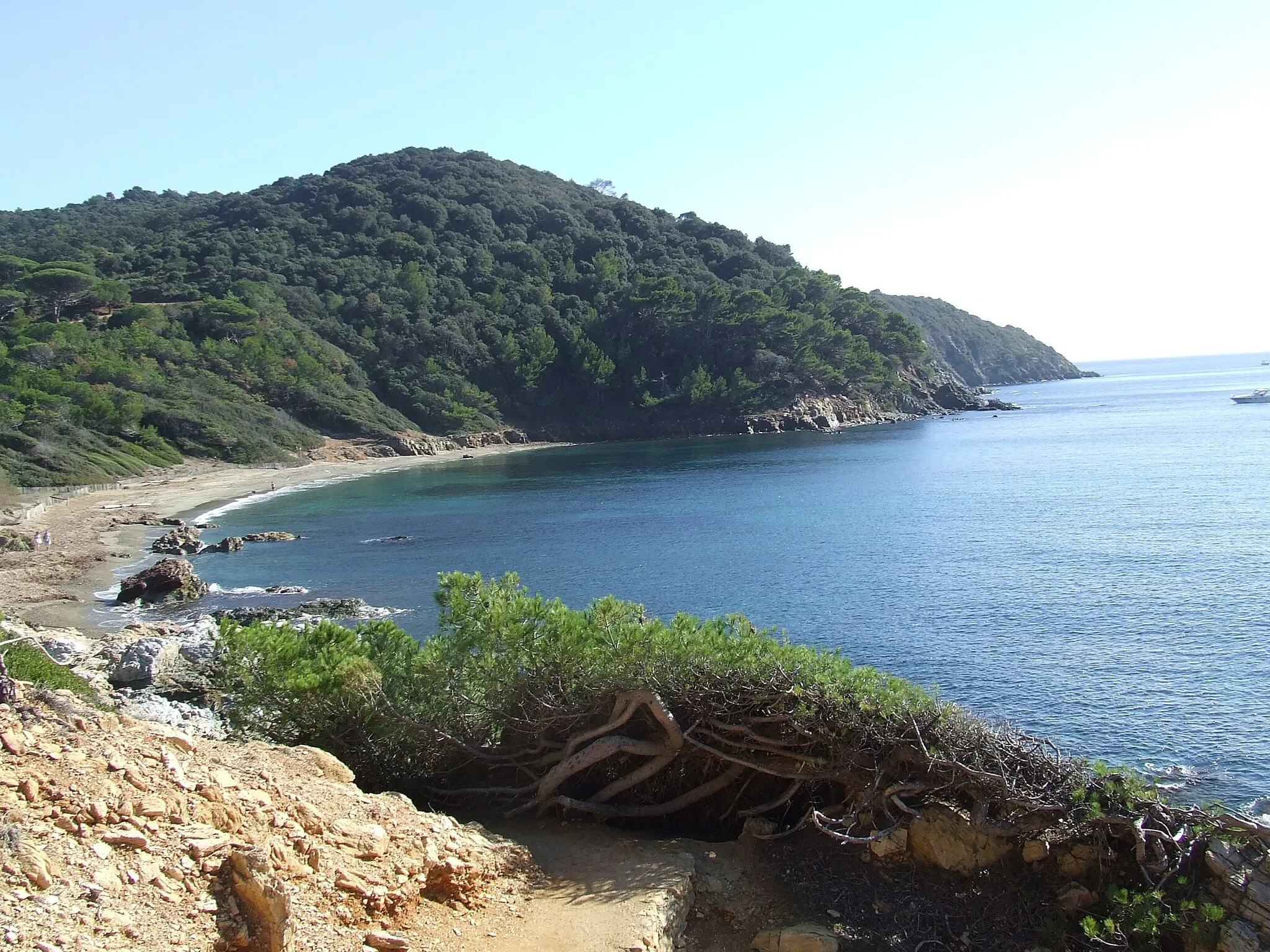
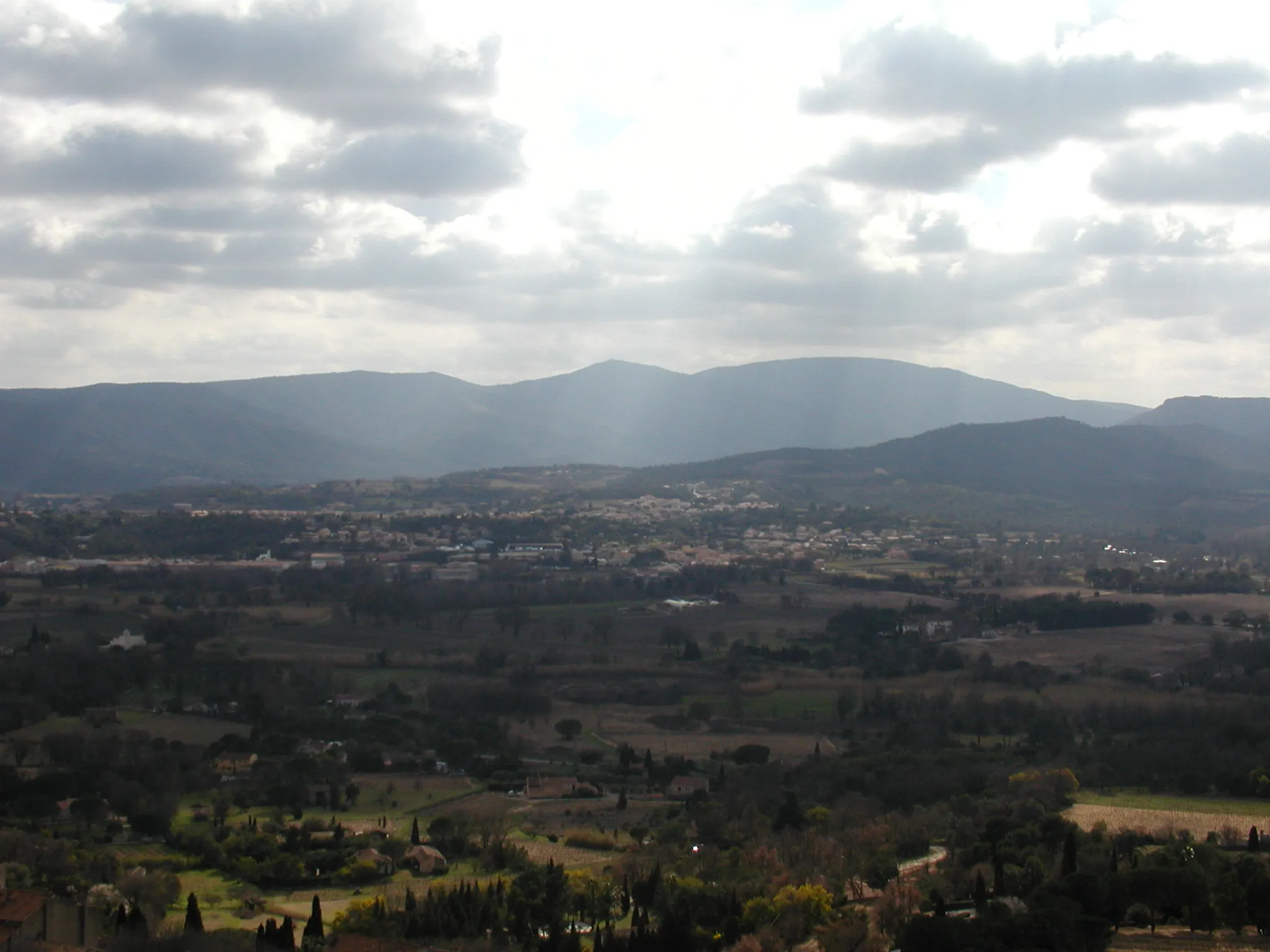
Embark on a road cycling adventure through picturesque vineyards and charming villages from Gassin to Peygros. With a moderate difficulty level and beautiful landscapes, this round-trip route offers a rewarding experience for amateur cyclists. Along the way, you'll pass through the quaint town of Cogolin, the historic village of Peygros, and the scenic viewpoint at Aire de Pique-Nique de Brûlat. The highlights of this route include the charming streets of Cogolin and the peaceful surroundings of Aire de Pique-Nique de Brûlat. Overall, this road cycling route provides a perfect mix of natural beauty and cultural heritage, making it a great choice for cyclists of all levels.
road
69 km
1078 m
Tough
Route profile
Highlights on the route
0 km
0 km
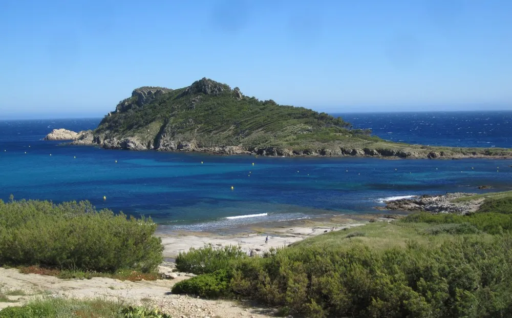
Start: Gassin Village centerGassin: Coastal paradise for cyclists in Provence-Alpes-Côte d'Azur.
Gassin, located in the Provence-Alpes-Côte d'Azur region of France, is a popular spot for road and gravel cyclists. The region offers stunning coastal routes with breathtaking views of the Mediterranean Sea, making it a paradise for cycling enthusiasts looking for a mix of scenic beauty and challenging climbs. Gassin is also located near famous cycling destinations like Saint-Tropez and the Maures mountains, known for their legendary climbs. With its gorgeous coastal scenery and proximity to renowned cycling spots, Gassin is a must-visit location for cyclists seeking a memorable riding experience.6 km
6 km
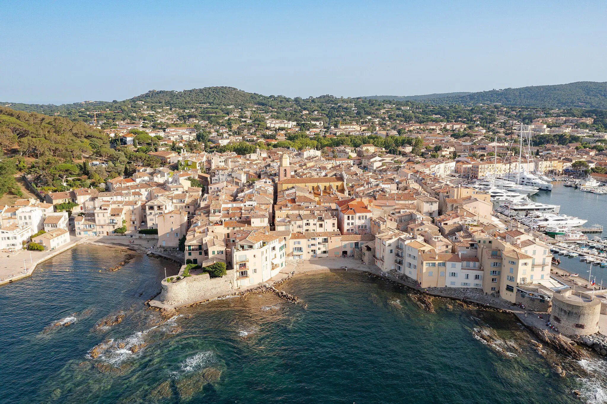
CogolinTownStop by Cogolin and explore its charming streets and historic buildings.
13 km
13 km
L'Enfournaou232 mPeakL'Enfournaou offers stunning panoramic views over the surrounding landscape.
19 km
19 km
Peygros456 mPeakPeygros is a charming village known for its historical heritage and picturesque setting.
52 km
52 km
Le Plan-de-la-TourVillageLe Plan-de-la-Tour offers stunning views over the surrounding countryside.
57 km
57 km
San Peïre416 mPeakSan Peïre is a hidden gem with its peaceful atmosphere and beautiful views.
68 km
68 km
Aire de Pique-Nique de BrûlatPicnic SiteAire de Pique-Nique de Brûlat is a perfect spot for a picnic with stunning views.
69 km
69 km
Finish: Gassin Village centerGassin: Coastal paradise for cyclists in Provence-Alpes-Côte d'Azur.
Cycling routes nearby: