Peille Hilltop Ride
A road cycling route starting from Peille
Enjoy a scenic hilltop ride with this 143-kilometer road route starting from Peille, featuring challenging climbs and breathtaking views.
Map
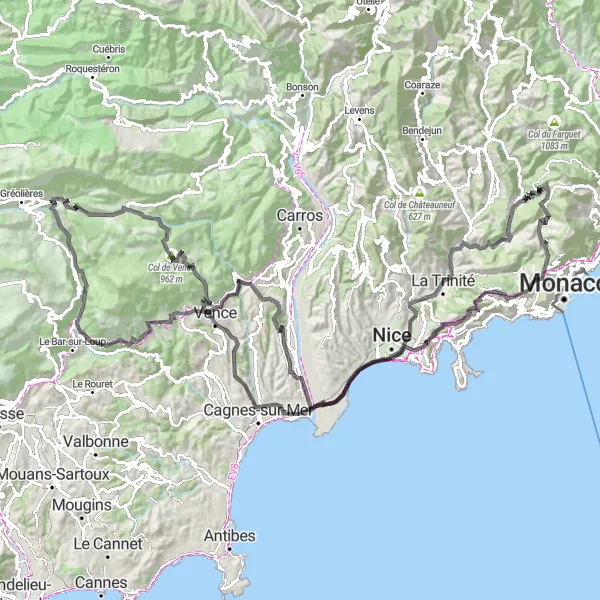
Embark on a scenic hilltop ride with this 143-kilometer road route starting from Peille. With an ascent of 2,840 meters, this route is perfect for cyclists who enjoy challenging climbs and stunning vistas. Experience the beauty of the Provence-Alpes-Côte d’Azur region as you conquer iconic climbs and explore picturesque villages along the way.
road
143 km
2840 m
Tough
Route profile
Highlights on the route
0 km
0 km
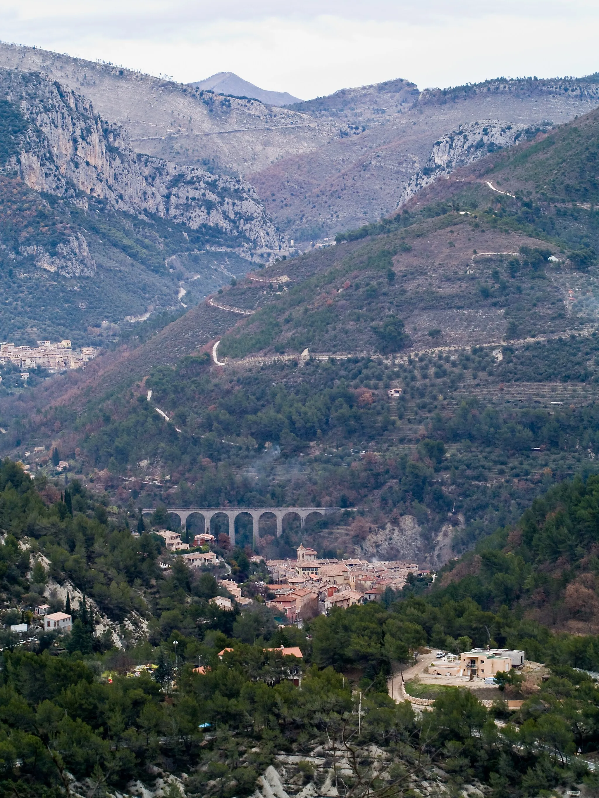
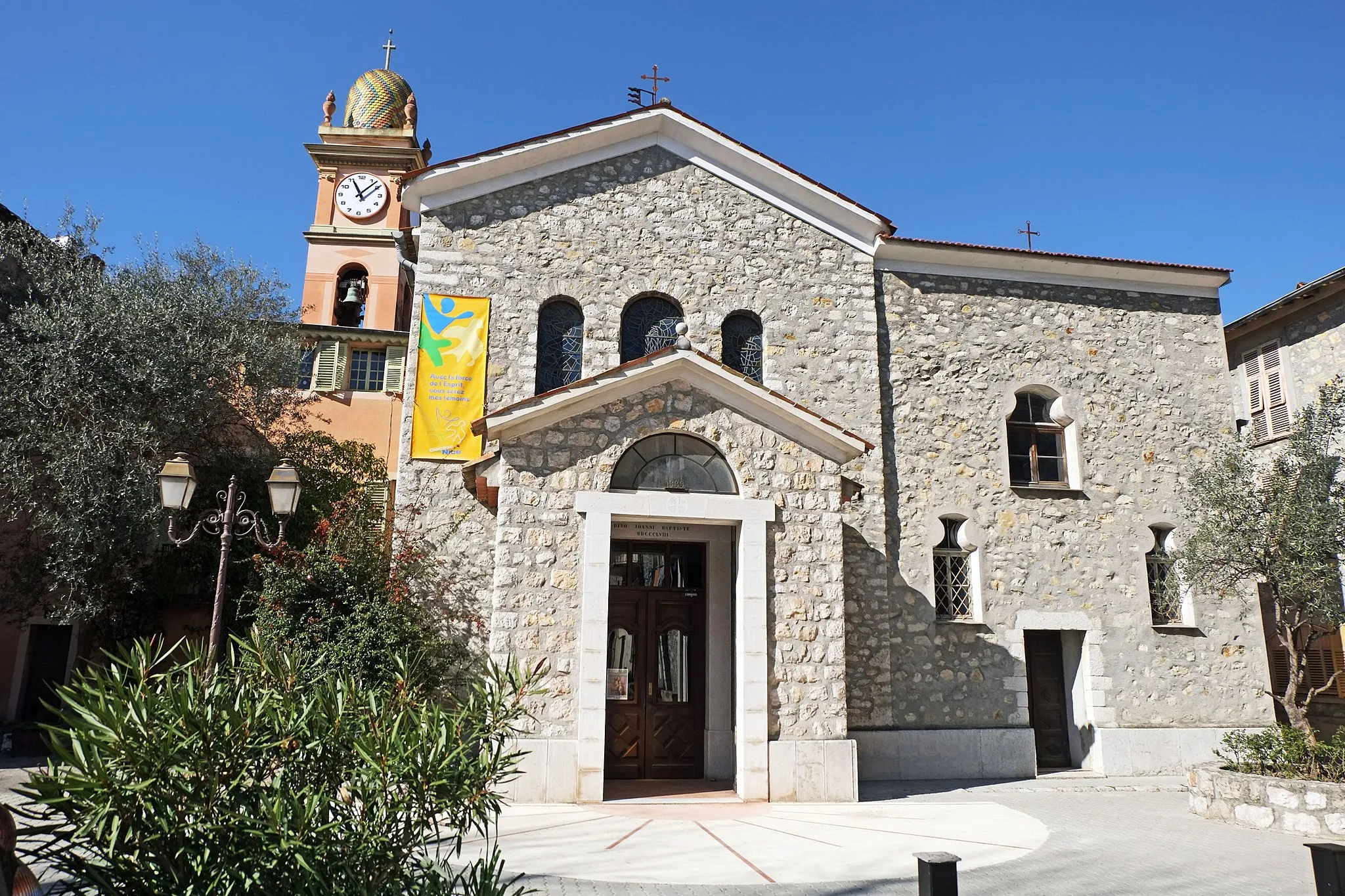
Start: Peille Village centerPeille: Exploring the scenic roads of Peille in Provence-Alpes-Côte d’Azur, France.
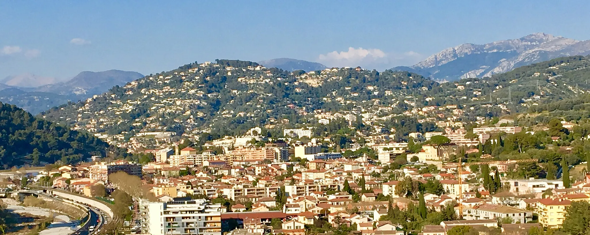
Peille, located in the Provence-Alpes-Côte d’Azur region of France, is a charming locality for road and gravel cyclists. The surrounding landscapes are stunning, with rolling hills and picturesque countryside. Cyclists can enjoy challenging climbs and thrilling descents while exploring the area. One must-visit spot for cyclists is the Col de l'Écre, a famous climb nearby that offers breathtaking views. With its beautiful scenery and cycling-friendly roads, Peille is a great destination for both local and visiting cyclists.12 km
12 km
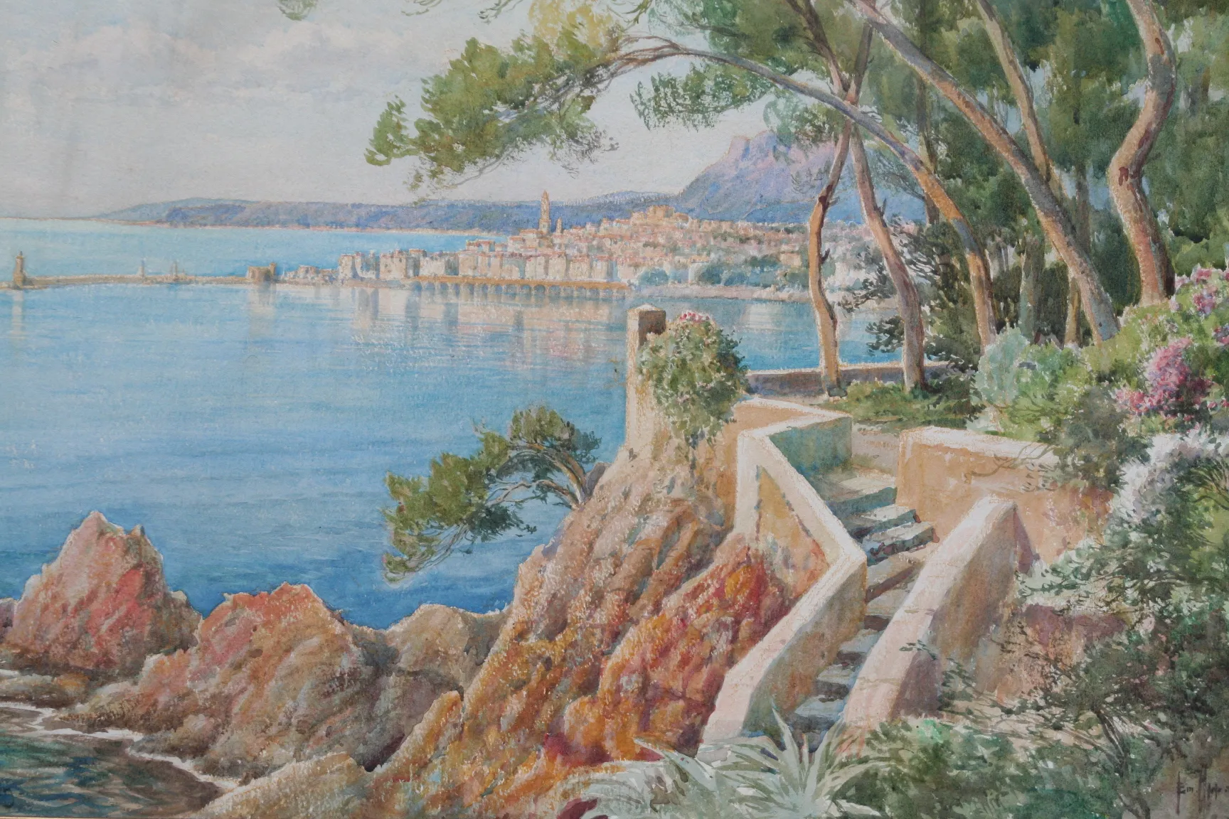
Cicilia339 mPeakCicilia, at the 12-kilometer mark, is a charming village known for its traditional Provençal architecture and stunning views.
16 km
16 km
La TrinitéTownLa Trinité, located at the 16-kilometer mark, offers panoramic views of the Mediterranean Sea and the surrounding mountains.
24 km
24 km
Avenue Jean MédecinViewpointAvenue Jean Médecin, at the 24-kilometer mark, is a bustling street in Nice lined with shops, cafes, and attractions.
37 km
37 km
Château GrimaldiCastleChâteau Grimaldi, at the 37-kilometer mark, is a medieval castle perched on a hilltop, offering panoramic views of the surrounding landscapes.
61 km
61 km
Cascade de CourmesWaterfallCascade de Courmes, at the 61-kilometer mark, is a beautiful waterfall surrounded by lush vegetation, perfect for a refreshing stop.
77 km
77 km
CoursegoulesVillageCoursegoules, located at the 77-kilometer mark, is a picturesque village known for its charming stone houses and traditional Provençal atmosphere.
82 km
82 km
Col de Vence962 mMountain PassCol de Vence, at the 82-kilometer mark, is a legendary climb that has been featured in professional cycling races, offering breathtaking views at the summit.
89 km
89 km
Baou des Blancs673 mPeakBaou des Blancs, at the 89-kilometer mark, is a rocky outcrop that provides stunning panoramic views of the French Riviera coastline.
97 km
97 km
Saint-JeannetVillageSaint-Jeannet, located at the 97-kilometer mark, is a charming village perched on a hillside, offering beautiful views of the surrounding landscapes.
118 km
118 km
Place MassénaAttractionPlace Masséna, located at the 118-kilometer mark, is the main square in Nice, known for its stunning architecture and vibrant atmosphere.
120 km
120 km
Mont Alban223 mPeakMont Alban, at the 120-kilometer mark, is a fortified hilltop with historical significance and offers panoramic views of Nice and the Mediterranean Sea.
128 km
128 km
Col d'Èze507 mMountain PassCol d'Èze, located at the 128-kilometer mark, is a famous climb known for its challenging hairpin turns and stunning views over the French Riviera.
133 km
133 km
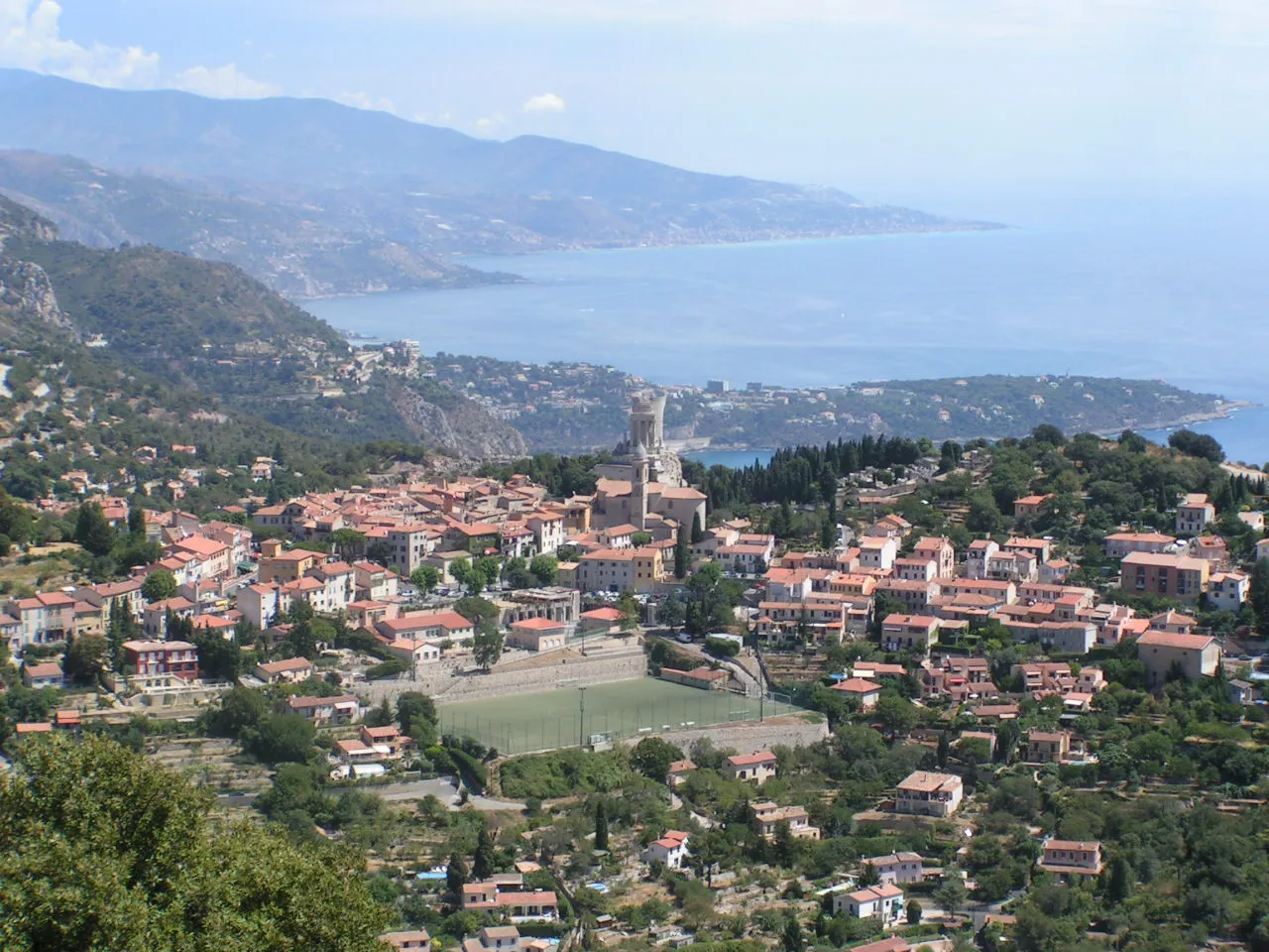
La TurbieVillageLa Turbie, at the 133-kilometer mark, is a historic village with ancient Roman ruins and offers breathtaking vistas of the Mediterranean Sea.
141 km
141 km
Cime de Rastel805 mPeakCime de Rastel, located at the 141-kilometer mark, is a challenging climb that rewards you with panoramic views of the surrounding mountains and coastline.
143 km
143 km
Finish: Peille Village centerPeille: Exploring the scenic roads of Peille in Provence-Alpes-Côte d’Azur, France.
Cycling routes from Peille:
Peille to Cime de Rastel Gravel Cycling Route Peille Gravel Adventure Peille Hilltop Ride Peille to Cime de Rastel - Extended Road Cycling Route Peille Road Thrill Peille to Ventimiglia Road Cycling Route The Rugged Vistas of Peille Peille to Valdeblore Epic Road Cycling Route Peille Grand Tour Peille to Cime de Rastel Road Cycling Route
Cycling routes nearby: