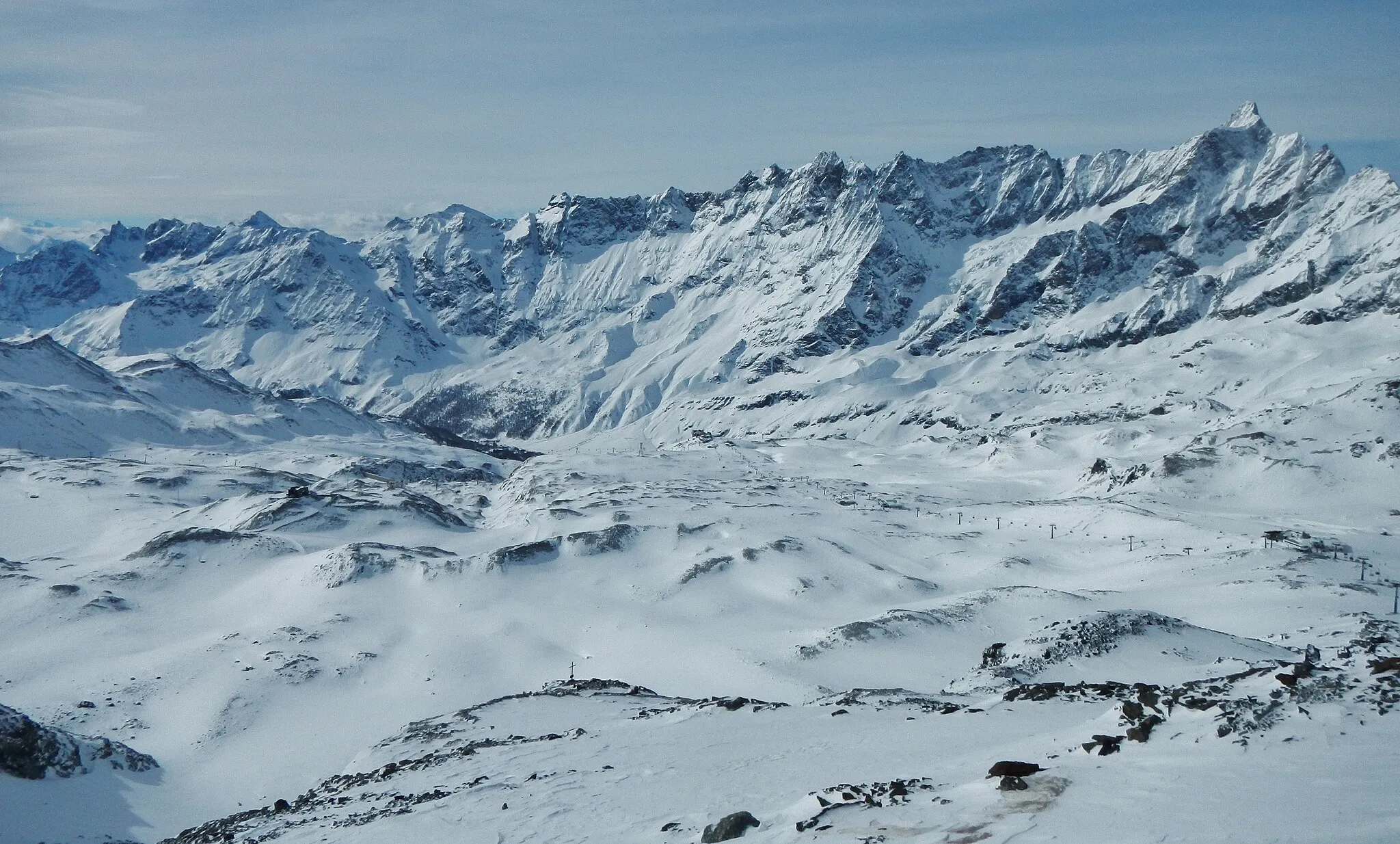
Unleash Your Cycling Potential in Rhône-Alpes!
Cycling routes from Balbigny
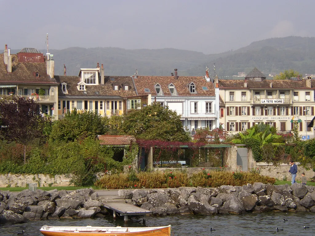
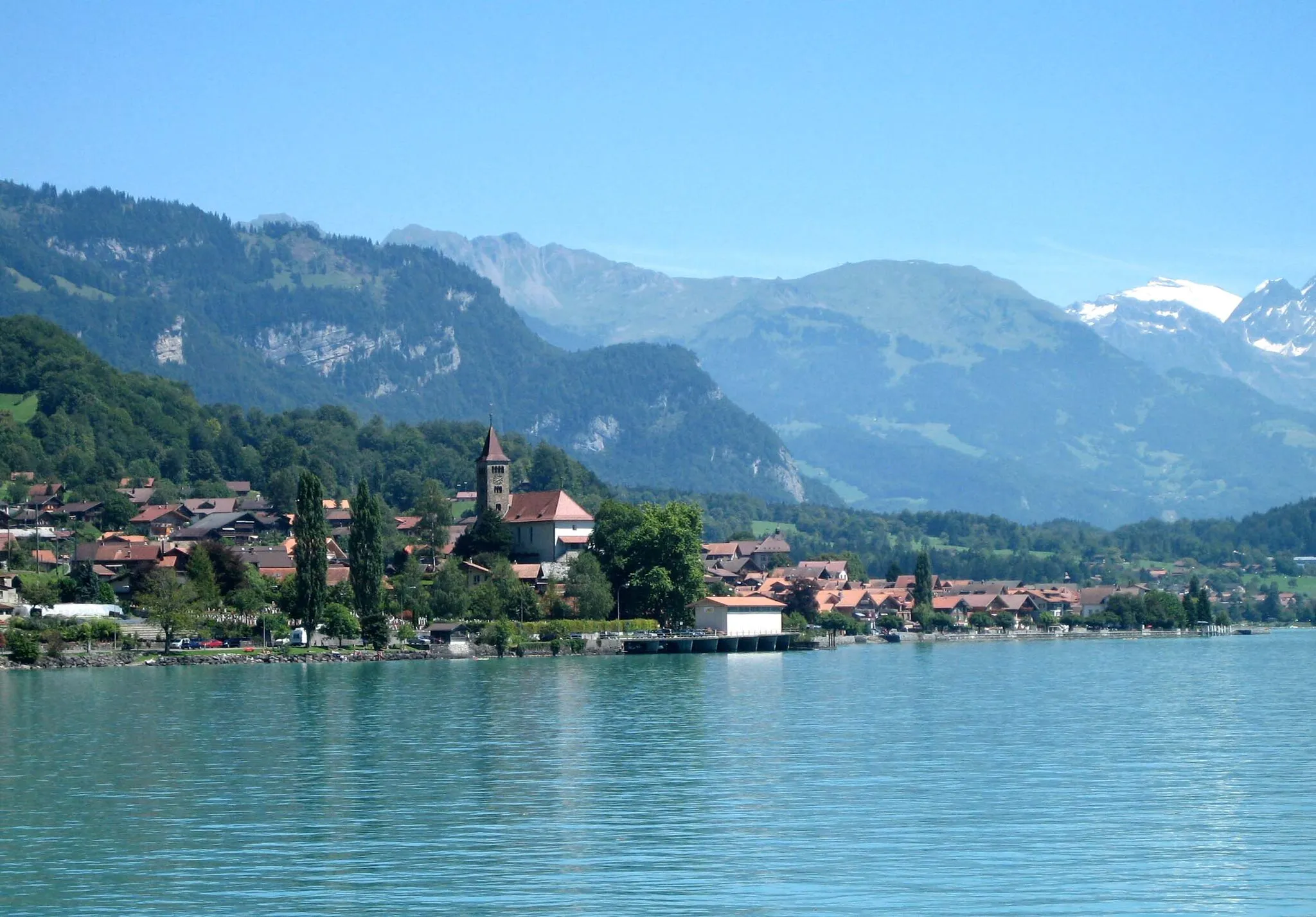
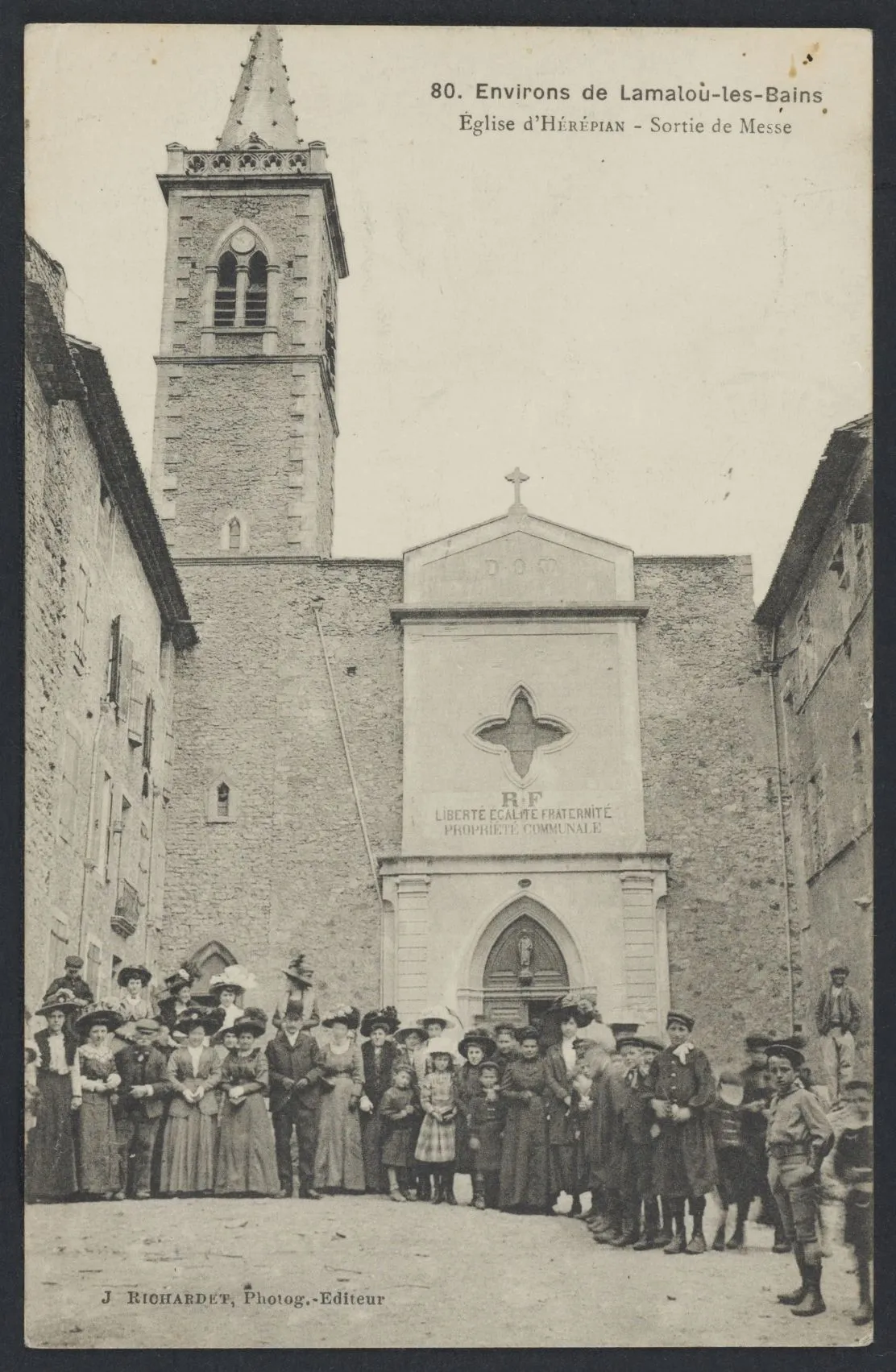
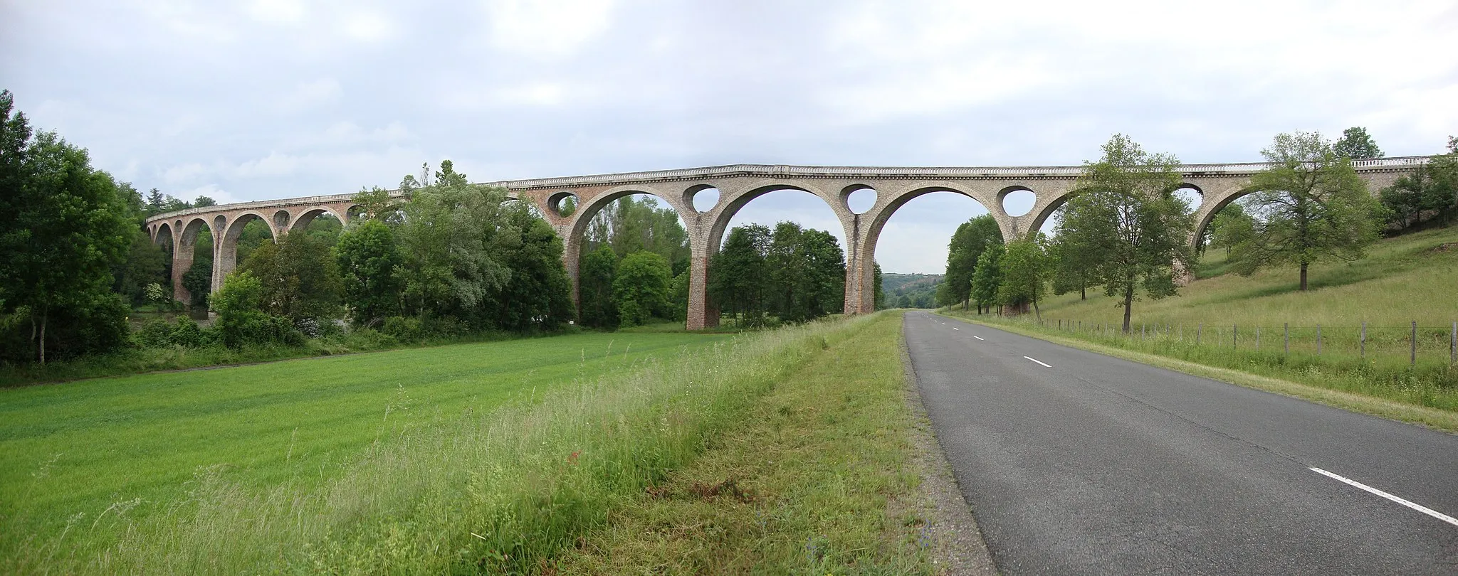
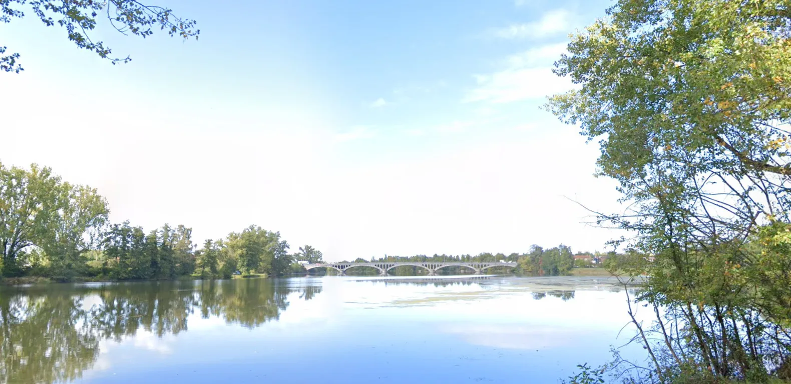
Balbigny is a town situated in the Rhône-Alpes region of France. From a cyclist's perspective, Balbigny offers a range of beautiful countryside roads to explore. The surrounding region features rolling hills and scenic vistas, making it an ideal location for road and gravel cycling. There are also several well-known climbs nearby, such as the Col des Bois Noirs, which provide an exciting challenge for cyclists. With its cyclist-friendly infrastructure and stunning natural beauty, Balbigny is perfect for both leisurely rides and intense training sessions.
Embark on an adventurous gravel escape through the stunning Rhône-Alpes region.
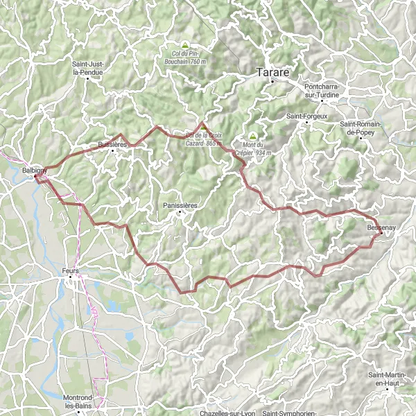
Prepare for an epic gravel adventure through the beautiful landscapes of Rhône-Alpes. This 82km route, with a challenging ascent of 1811m, will take you on a journey through the diverse terrain of the region. Highlights along the way include the historic village of Néronde and its medieval charm, Mont Boussuivre with its panoramic views, and the picturesque Villechenève surrounded by rolling hills. The route also passes through Bessenay, known for its impressive castle, and Saint-Clément-les-Places, offering stunning valley views. Don't miss the opportunity to discover Civens, a serene village nestled amidst the countryside.
Balbigny Adventure Ride
Discover the hidden gems of Cleppé, Chalain-d'Uzore, Sainte-Agathe-la-Bouteresse, and Nervieux.
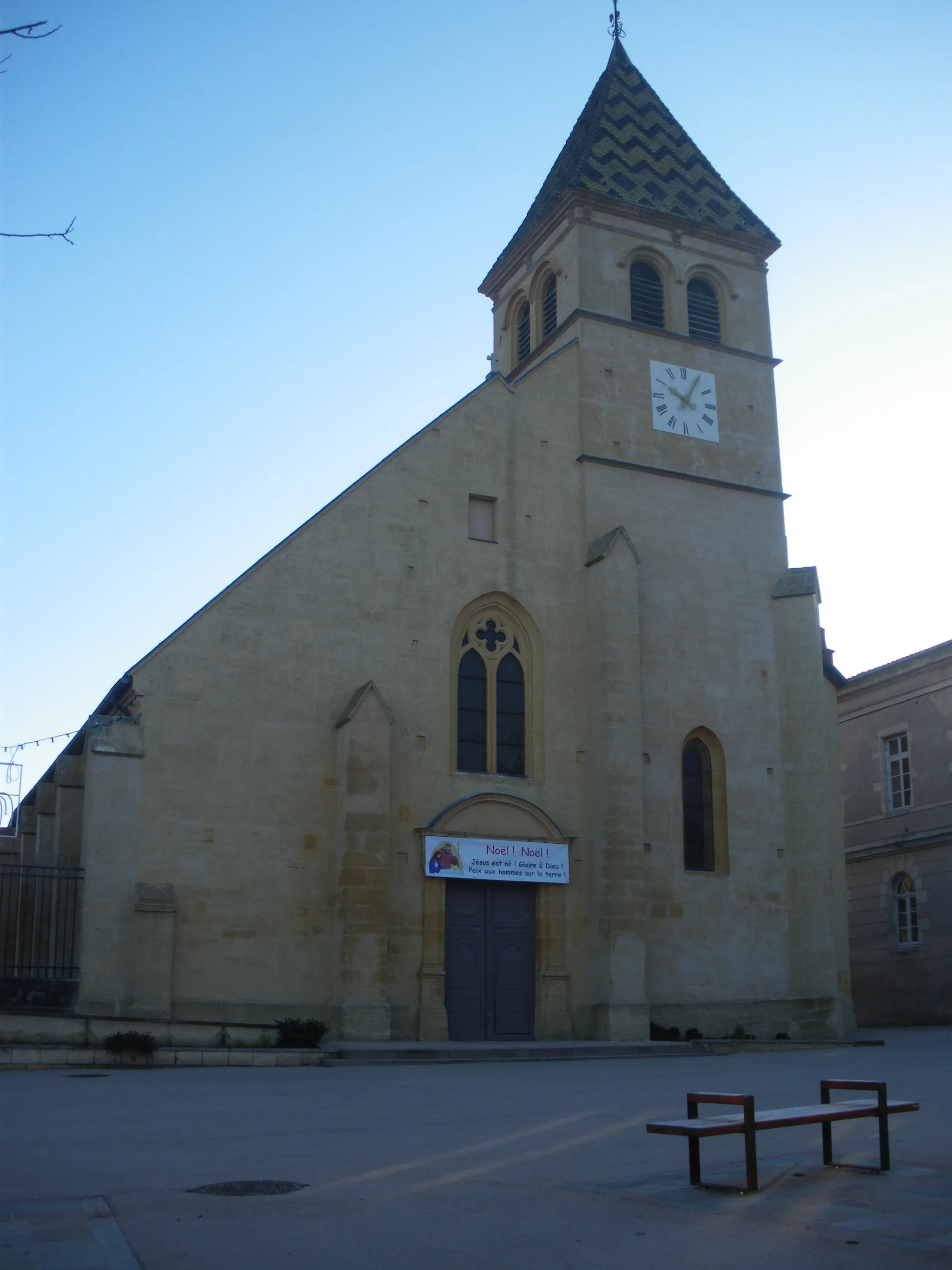
Embark on this adventurous route starting near Balbigny and explore the beautiful countryside of Rhône-Alpes. The route offers a mix of challenging climbs, stunning landscapes, and picturesque villages. Cyclists will have the opportunity to visit Cleppé, known for its charming architecture and rich history. Further along the route, Chalain-d'Uzore will captivate riders with its medieval charm and breathtaking views. Sainte-Agathe-la-Bouteresse, with its quaint streets and cozy cafes, is another highlight not to be missed. Finish the ride in Nervieux, a peaceful village surrounded by green fields and rolling hills.
The Mountain Challenge
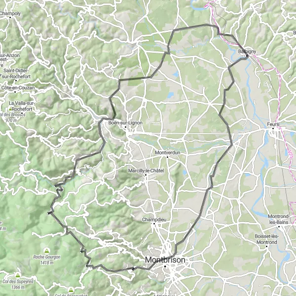
Conquer the heights of Poncins, Montbrison, Pic de Bard, Roche, Pic de Glizieux, Sail-sous-Couzan, and Pommiers-en-Forez
Prepare for an epic mountain challenge on this 99-kilometer road cycling route. With an ascent of 1431 meters, this route is designed for experienced cyclists seeking a thrilling ride. From the heights of Montbrison to the stunning panoramas of Pic de Glizieux, every stage of this journey is filled with awe-inspiring views. Highlights include the majestic Poncins, the historic town of Montbrison, and the spectacular Pic de Bard. Traverse picturesque landscapes and take in the beauty of Rhône-Alpes from a new perspective on this unforgettable adventure.
Rhône-Alpes Gravel Adventure
Explore the rugged and picturesque landscapes of Rhône-Alpes on this gravel cycling route.
This gravel route starting near Balbigny offers a thrilling adventure through the diverse landscapes of Rhône-Alpes. The route takes you through charming villages, scenic countryside, and rolling hills. With a total ascent of 719m and a distance of 61km, the route offers a moderate challenge suitable for experienced cyclists. Along the way, you'll encounter highlights such as the picturesque town of Nervieux, the historic Saint-Germain-Laval, and the charming village of Souternon.
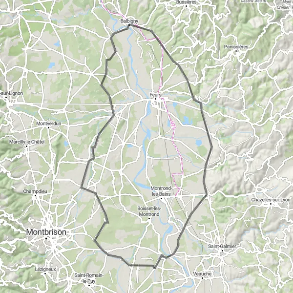
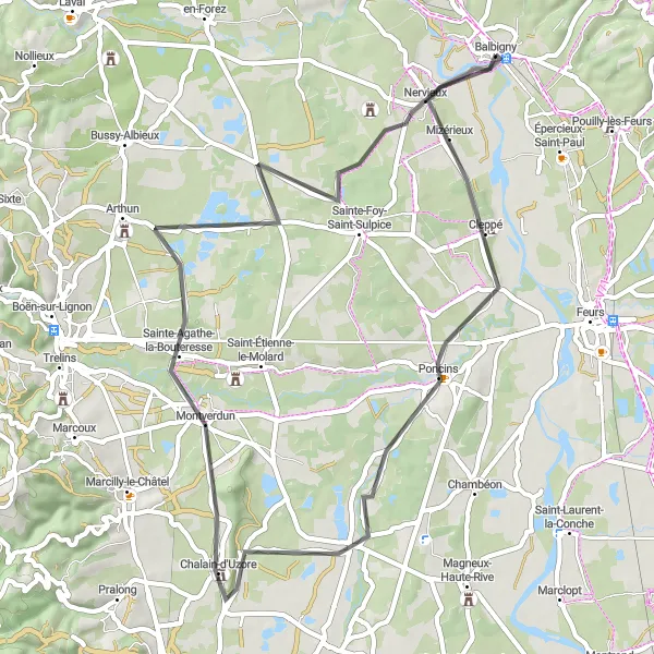
Embark on a scenic road cycling adventure through the picturesque landscapes around Feurs.
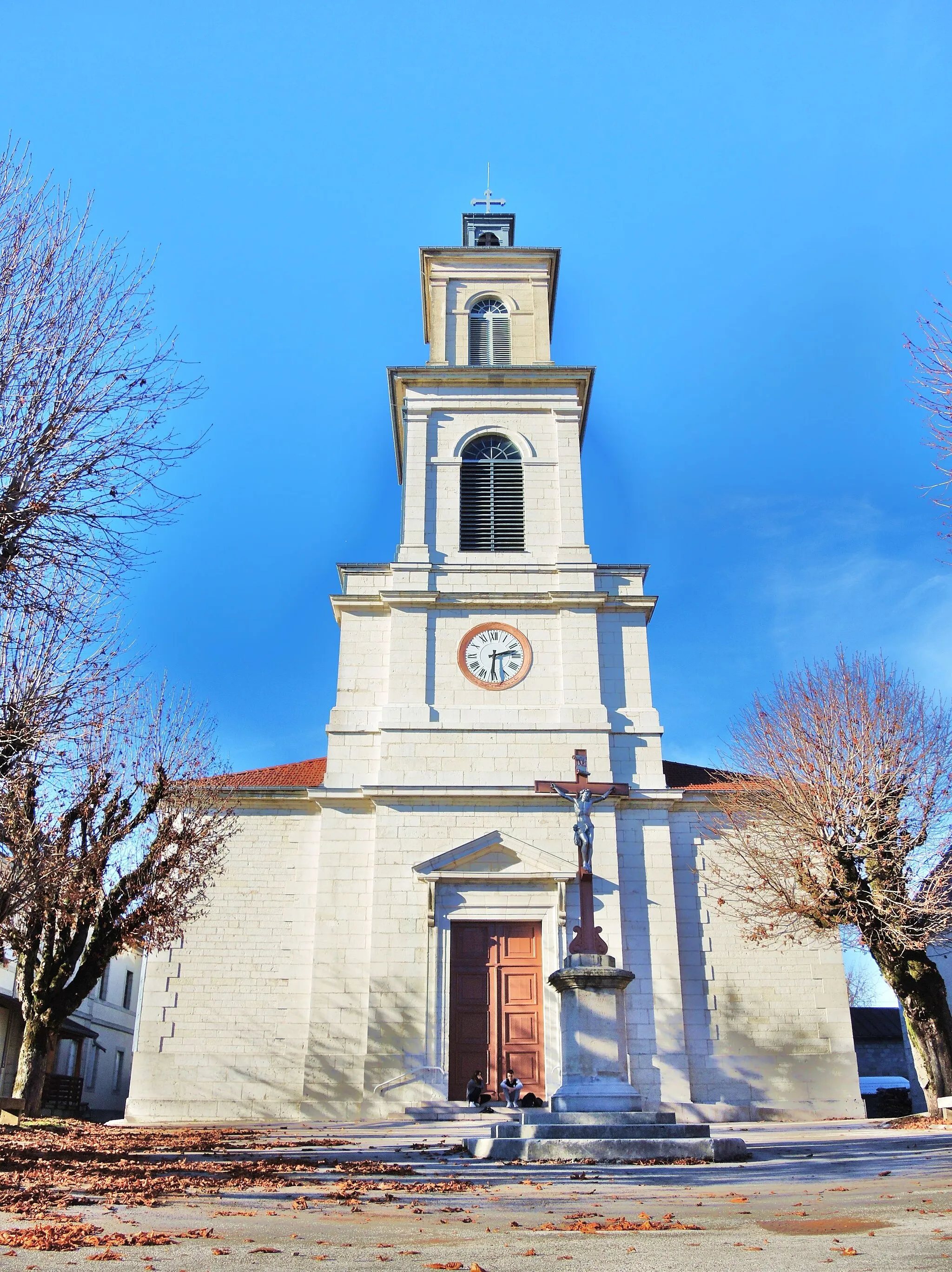
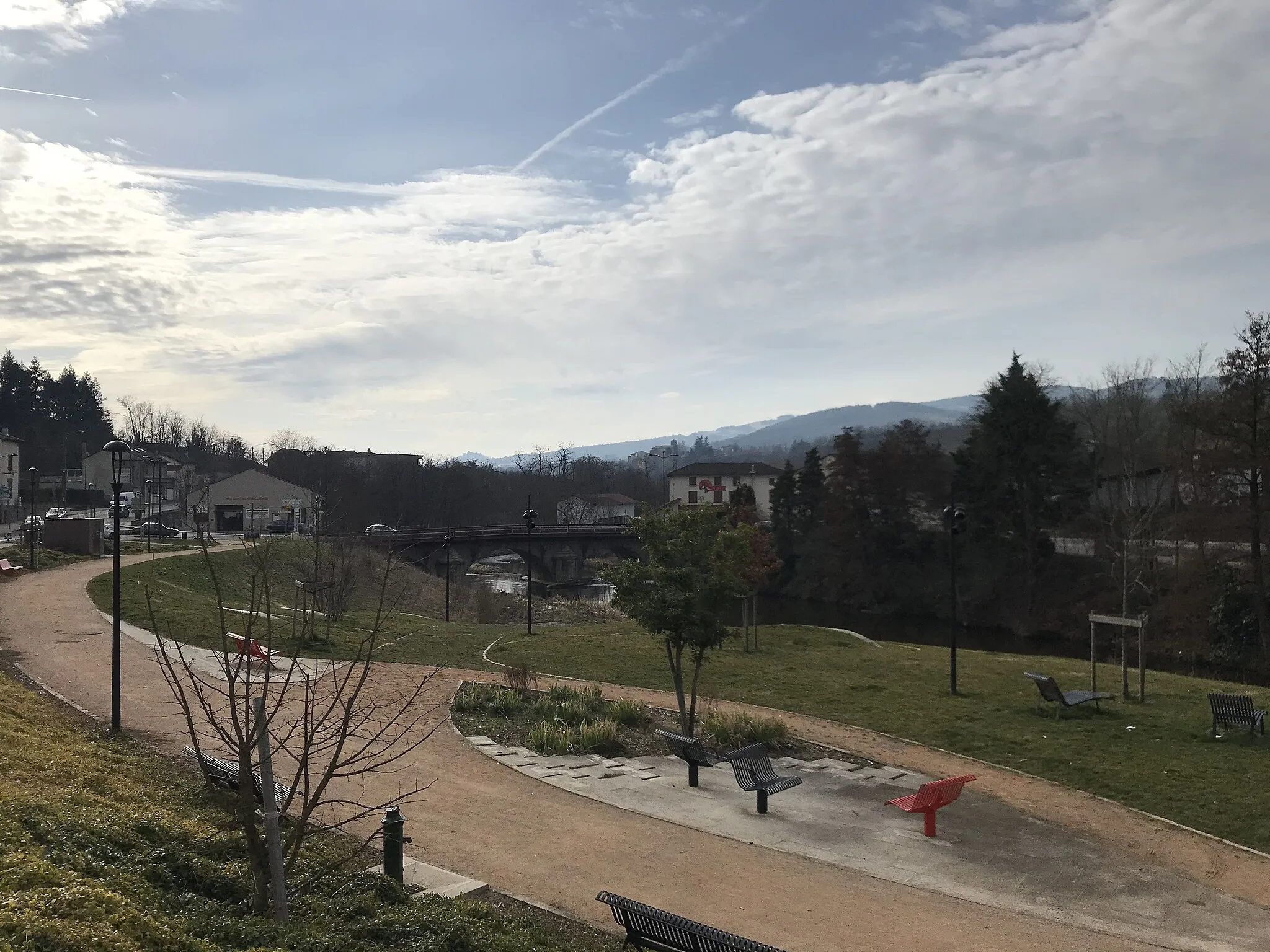
This road cycling route near Balbigny offers a picturesque journey through the scenic surroundings of Feurs. With a total ascent of 327m and a distance of 75km, the route provides a moderate challenge suitable for both experienced and amateur cyclists. Highlights of the route include the charming village of Pouilly-lès-Feurs with its historic buildings, Bellegarde-en-Forez known for its well-preserved medieval architecture, and the tranquil town of Précieux surrounded by lush greenery. Poncins offers beautiful views of the Loire River and Mizérieux is a quaint village with traditional charm.
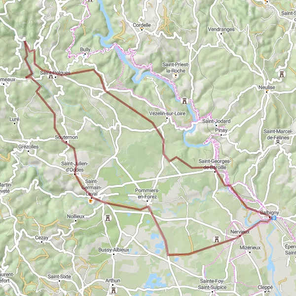
Uncover the hidden gems of Saint-Georges-de-Baroille, Dancé, Vendranges, and Neulise
Escape the urban hustle and indulge in the tranquility of Rhône-Alpes on this gravel cycling route. Covering a total distance of 59 kilometers and an ascent of 1055 meters, this route offers a rewarding adventure on off-road paths. From the scenic Saint-Georges-de-Baroille to the rustic charm of Dancé and Vendranges, each stop along the way draws you closer to the region's hidden gems. Enjoy the serenity of Neulise and discover the untamed beauty of the French countryside on this mosaic of gravel roads.
Embark on a challenging gravel cycling route through the breathtaking landscapes of Rhône-Alpes.
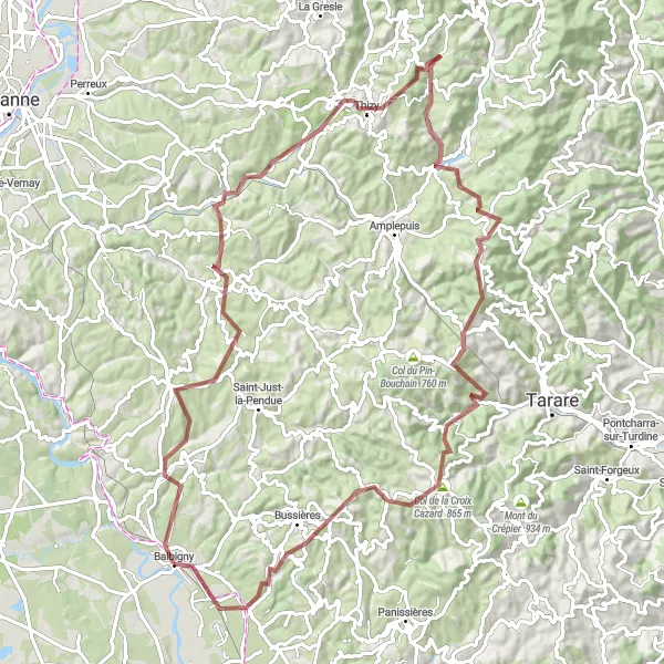
Get ready for an exhilarating gravel challenge through the stunning landscapes of Rhône-Alpes. This 94km route features a total ascent of 2137m, providing experienced cyclists with a true test of endurance and skill. Highlights of the route include the captivating village of Croizet-sur-Gand, surrounded by scenic beauty, and the charming town of Régny with its impressive church. Bourg-de-Thizy offers a glimpse into the region's history, while Ronno is known for its picturesque setting. The challenging climb up Col de la Croix Cazard is a legendary feat, and the route concludes in the vibrant village of Épercieux-Saint-Paul.
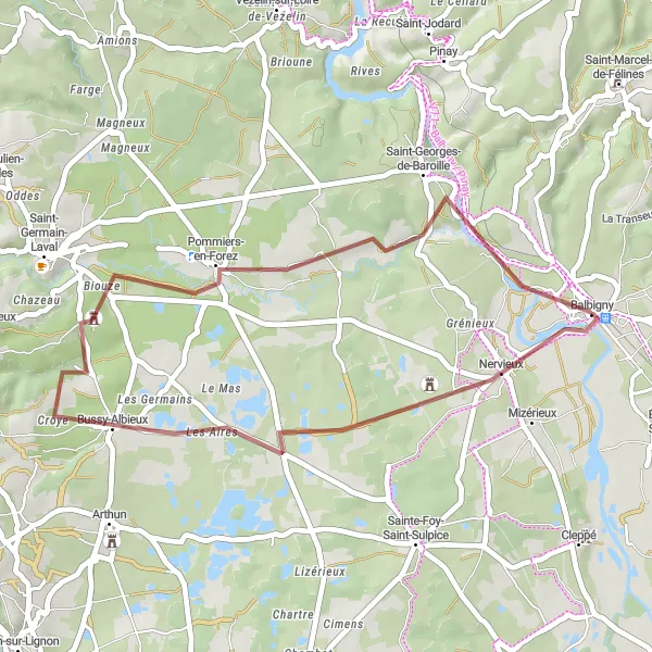
Take a scenic journey through Nervieux, Bussy-Albieux, and Saint-Georges-de-Baroille
Experience the thrill of off-road cycling as you navigate the gravel paths near Balbigny. This 35-kilometer loop takes you through picturesque villages and offers stunning views of the Rhône-Alpes countryside. With an ascent of 274 meters, it provides a moderate challenge for cyclists. The route includes highlights such as the charming town of Nervieux, the historic village of Bussy-Albieux, and the quaint Saint-Georges-de-Baroille. Enjoy the tranquility of nature and discover the wonders of gravel cycling on this unique route.
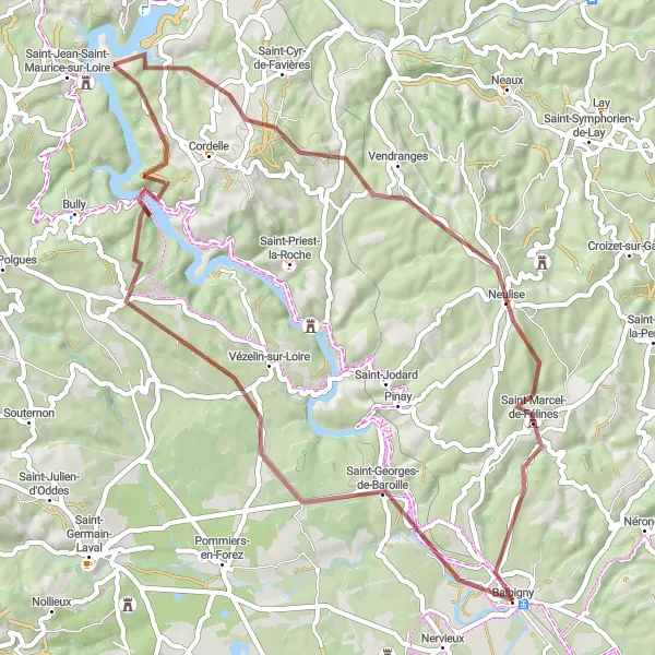
Balbigny - Pommiers-en-Forez - Grézolles - La Tuilière - Saint-Polgues - Saint-Georges-de-Baroille
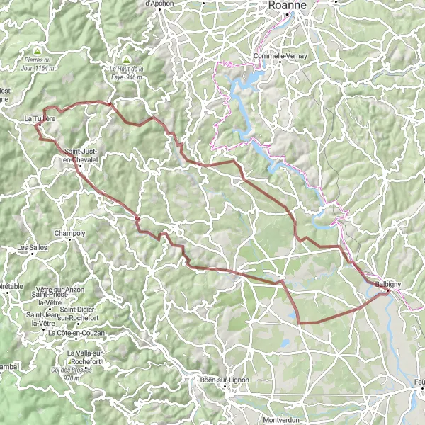
Embark on a thrilling gravel cycling adventure from Balbigny to Pommiers-en-Forez, Grézolles, La Tuilière, Saint-Polgues, and finish off in Saint-Georges-de-Baroille.
Immerse yourself in the rugged beauty of Rhône-Alpes as you traverse a challenging gravel route that spans 89 kilometers with a total ascent of 1282 meters. This journey takes you through diverse terrains, offering a perfect blend of picturesque landscapes and thrilling escapades. Begin in Balbigny and make your way through Pommiers-en-Forez, known for its lush forests and captivating views. Keep pedaling towards Grézolles, where you'll encounter serene countryside scenes and peaceful surroundings. As you approach La Tuilière, be prepared to be awe-inspired by the grandeur of nature's creations. Continue on through Saint-Polgues, a village rich in historical significance, and finally reach Saint-Georges-de-Baroille, where warm hospitality and local charm await you.
Grand Alps Adventure
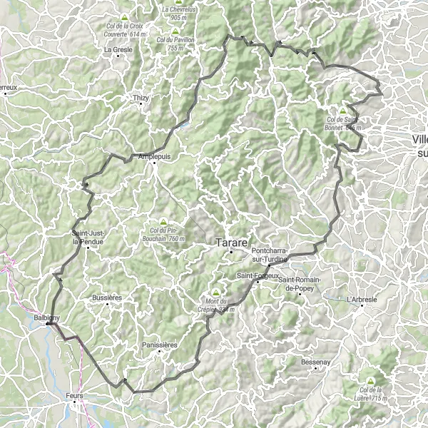
Conquer the challenges of Croizet-sur-Gand, Amplepuis, Col de la Croix Nicelle, Saint-Nizier-d'Azergues, Col de la Croix Rosier, Blacé, Rivolet, Chautard, Saint-Forgeux, Mont Girard, Essertines-en-Donzy, and Pouilly-lès-Feurs.
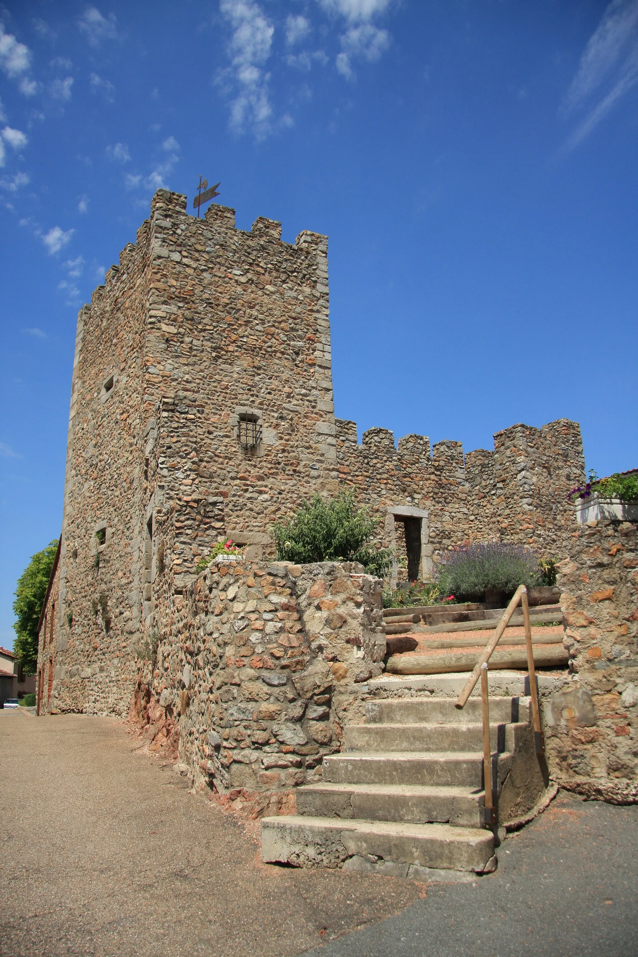
Prepare yourself for an epic cycling adventure as you conquer the grand alpine routes near Balbigny. This challenging route offers breathtaking views and will put your cycling skills to the test. Experience the beauty of Croizet-sur-Gand and be rewarded with enchanting landscapes and countryside charm. Amplepuis, known for its rolling hills and picturesque vistas, further adds to the allure of this ride. Cycle up the famous Col de la Croix Nicelle and enjoy the majestic views from the summit. Saint-Nizier-d'Azergues, nestled amidst the splendid Beaujolais vineyards, offers a taste of the region's rich history and stunning panoramas. Col de la Croix Rosier, known for its steep ascents and magnificent views, provides an unforgettable cycling experience. The charming villages of Blacé, Rivolet, Chautard, Saint-Forgeux, Mont Girard, Essertines-en-Donzy, and Pouilly-lès-Feurs offer picturesque surroundings, friendly locals, and an opportunity to immerse yourself in the heart of Rhône-Alpes.
Cycling routes nearby:


Nearby regions: