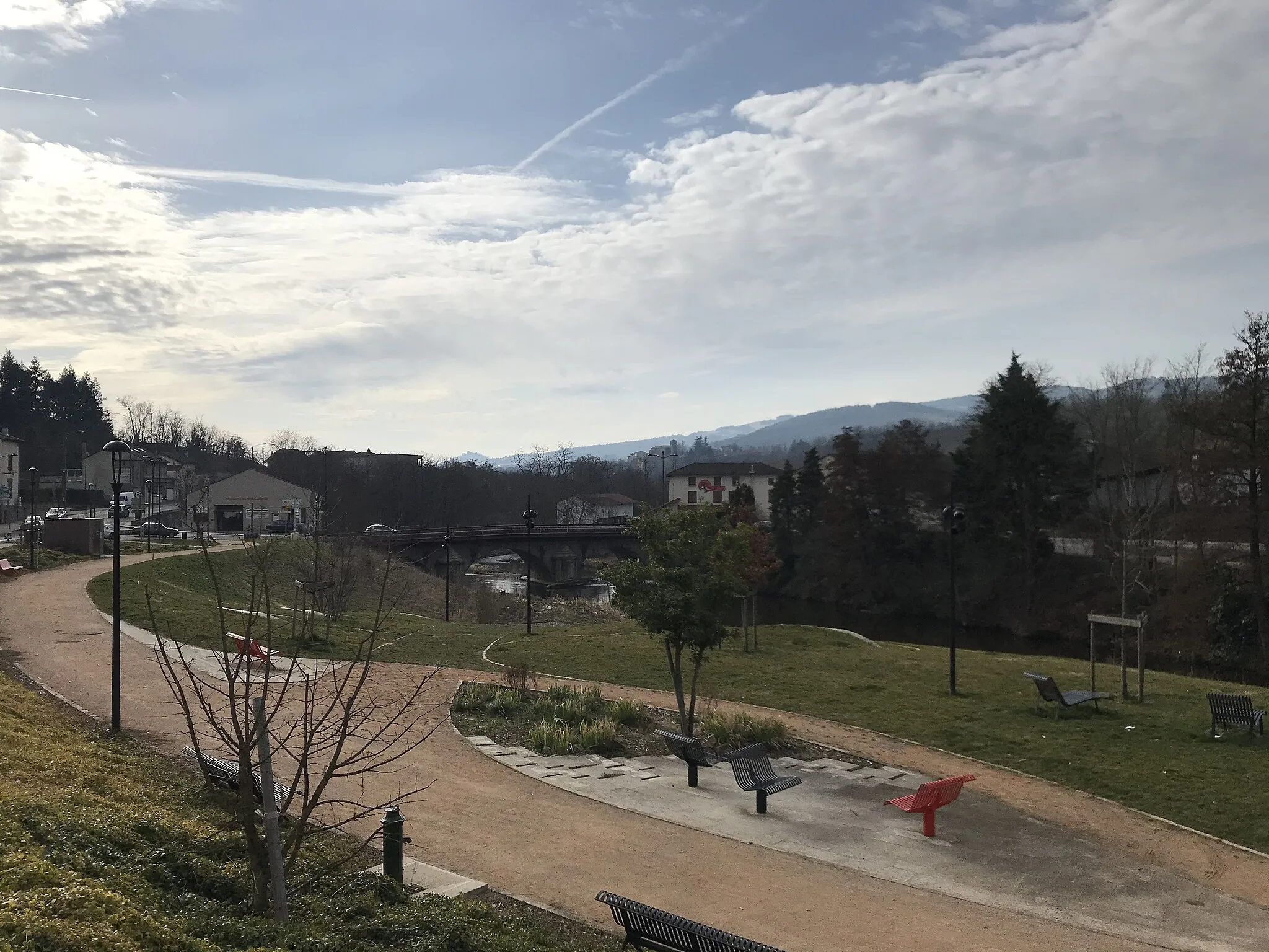
Cycling Paradise in Champdieu!
Cycling routes from Champdieu
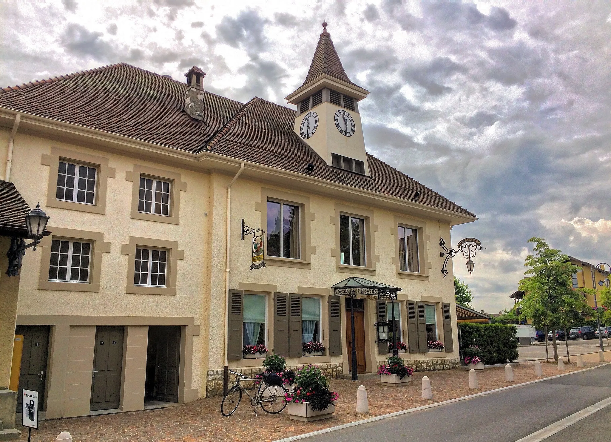
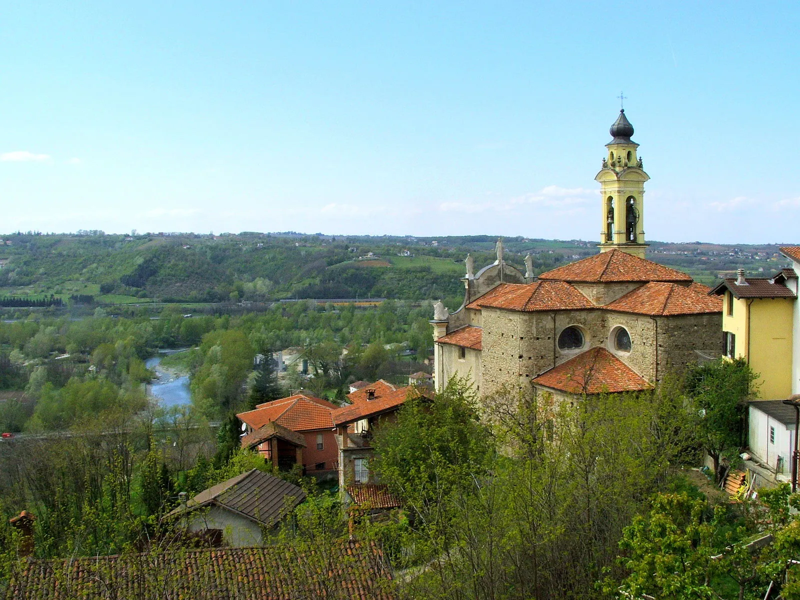
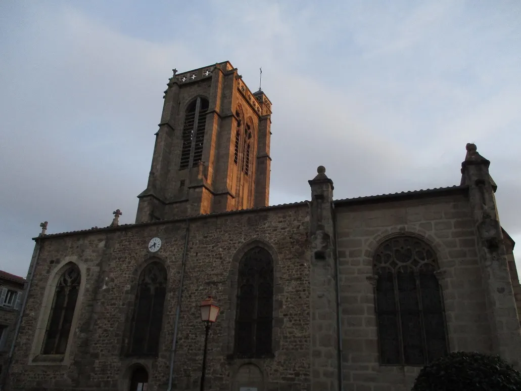
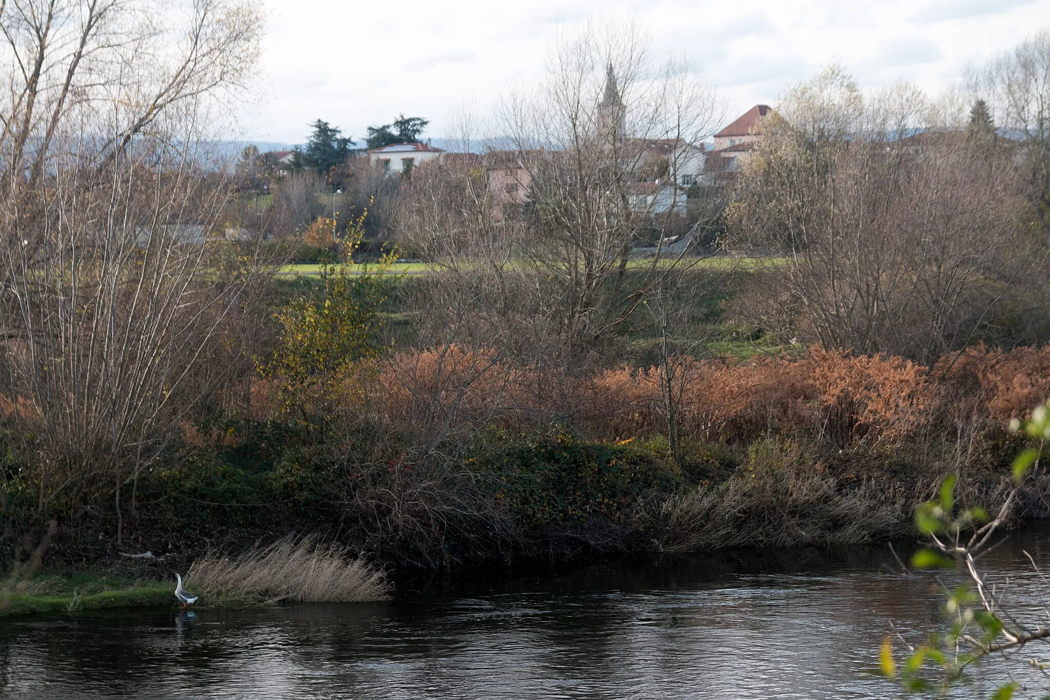
Champdieu is a picturesque locality situated in the Rhône-Alpes region of France. As a cyclist, you will enjoy exploring the winding roads and peaceful rural landscapes. The roads in the area are well-maintained and perfect for road cycling. One notable cycling spot nearby is the Col de Baracuchet, a popular climb known for its stunning views. Champdieu is also home to a couple of charming cafes and guesthouses where cyclists can rest and recharge. With its idyllic countryside scenery and excellent cycling routes, Champdieu is a great destination for road cyclists.
The Loire Valley Excursion
Discover the charming village of Saint-Paul-d'Uzore along this scenic road cycling route.
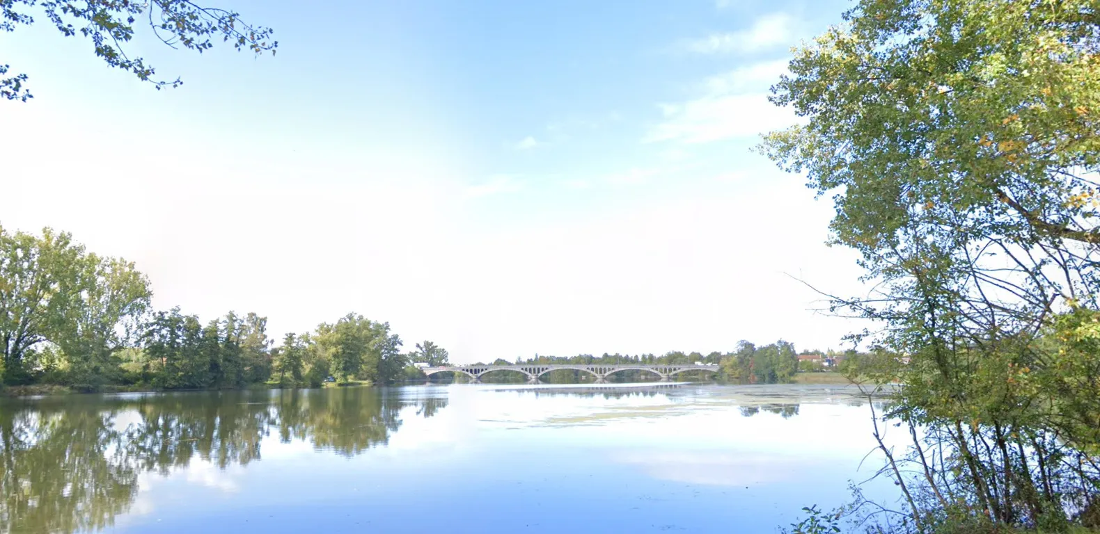
Experience the picturesque beauty of the Rhône-Alpes region as you cycle through charming villages and stunning countryside. This route takes you on a journey through historic sites and breathtaking landscapes, allowing you to immerse yourself in the rich cultural heritage of the area. With a distance of 66 km and an ascent of 194 meters, this road cycling route is suitable for intermediate cyclists. The Loire Valley Excursion offers a delightful mix of natural beauty and cultural landmarks, making it a must-try route in Rhône-Alpes.
Gravel Adventure
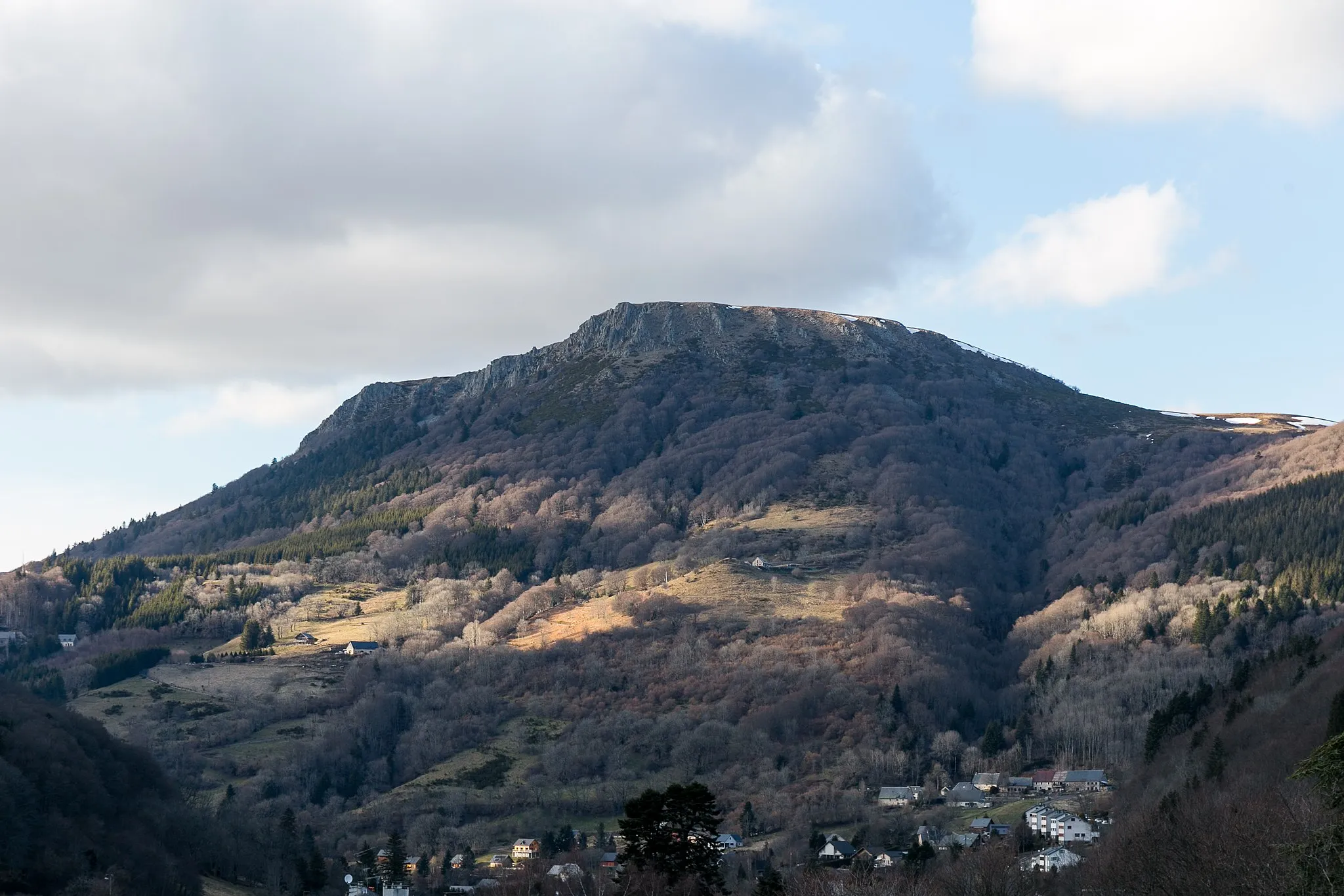
Experience the natural splendor of Pic de Bard
Discover the beauty of Rhône-Alpes, France with this gravel route starting near Champdieu. The 49 km journey awaits gravel enthusiasts, offering an ascent of 1354 m. Prepare yourself for a rewarding experience as you conquer the Pic de Bard. The overall difficulty rating for this route is 3 out of 5 which is suitable for well-trained amateurs. With an epicness level of 3, this route guarantees a memorable gravel adventure.
Conquering the Peaks
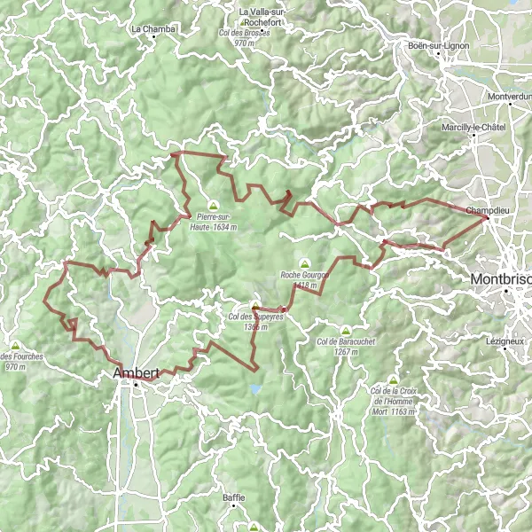
Take on thrilling gravel climbs and conquer the Pic de Glizieux on this challenging cycling route near Champdieu.
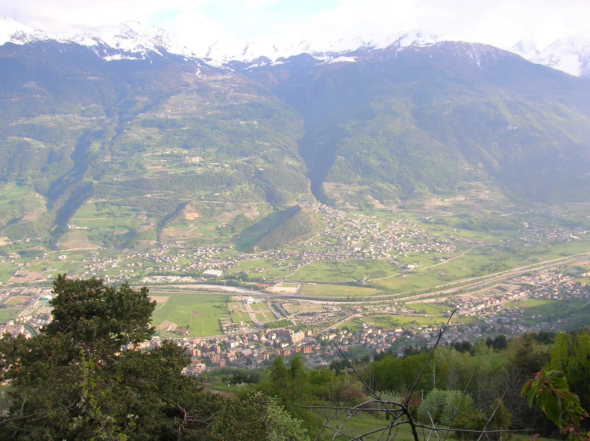
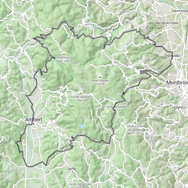
Embark on an epic adventure through the rugged landscapes and challenging gravel climbs of the Rhône-Alpes region. With a distance of 115 km and an ascent of 3185 meters, this route is designed for experienced gravel cyclists seeking an adrenaline-filled challenge. From the breathtaking overlooks of Pic de Glizieux to the iconic Col des Supeyres and Col du Béal, this route offers a challenging yet rewarding experience. Get ready to witness jaw-dropping vistas, conquer demanding terrain, and push your limits as you explore the stunning natural beauty of the Forez Mountains. This route promises an unforgettable gravel cycling experience in the heart of Rhône-Alpes.
Immerse yourself in the scenic beauty of Semène Valley on this gravel cycling route near Champdieu.
Escape from the hustle and bustle of city life and embark on a gravel adventure through the stunning Semène Valley. With a distance of 83 km and an ascent of 1055 meters, this gravel cycling route offers a perfect opportunity to explore the untouched natural beauty of the region. Cycle along winding gravel paths, pass through dense forests, and marvel at the untouched river valleys. Along the way, you'll discover charming villages, historic landmarks, and breathtaking viewpoints that will leave you in awe. The route is suitable for experienced gravel cyclists seeking a challenging yet rewarding journey through nature's wonders.
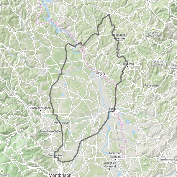
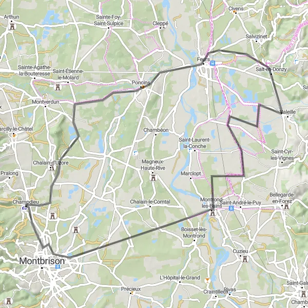
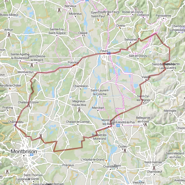
Cycle through the beautiful Rhône-Alpes region from Champdieu to Feurs
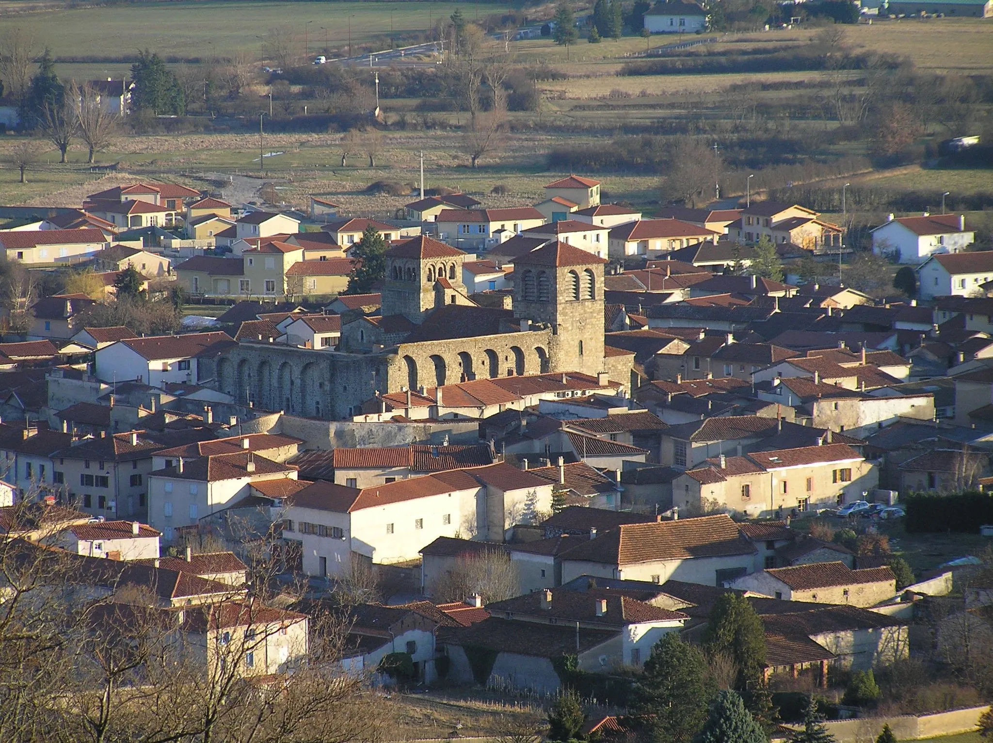
Experience the scenic beauty of the Rhône-Alpes region on this road cycling route from Champdieu to Feurs. This challenging route offers a combination of rolling hills and picturesque countryside, with stunning views along the way. The highlight of the route is the charming village of Arthun, located 17 kilometers from Champdieu. Stop by Arthun to explore its historic buildings and enjoy a local café. The route continues through Pommiers-en-Forez, Saint-Symphorien-de-Lay, and Saint-Just-la-Pendue, each offering their own unique sights and attractions. Next, you will reach Feurs, a larger town with a vibrant market and plenty of dining options. Enjoy the sense of accomplishment as you complete this challenging but rewarding cycling journey through the heart of the Rhône-Alpes region.
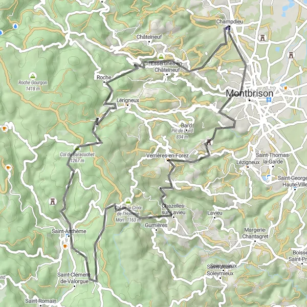
Cycle through picturesque villages and stunning landscapes from Champdieu to Chemin de ronde
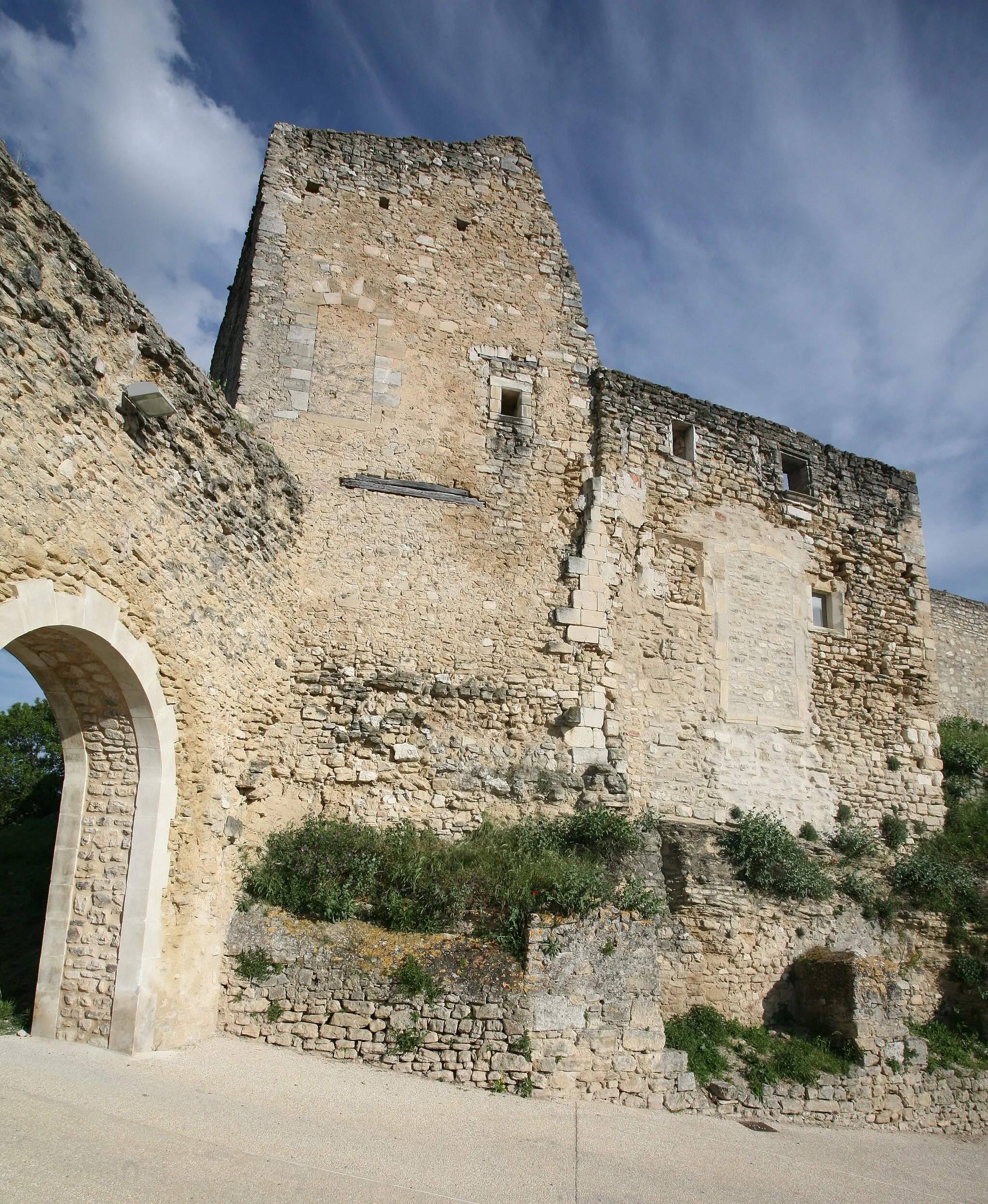
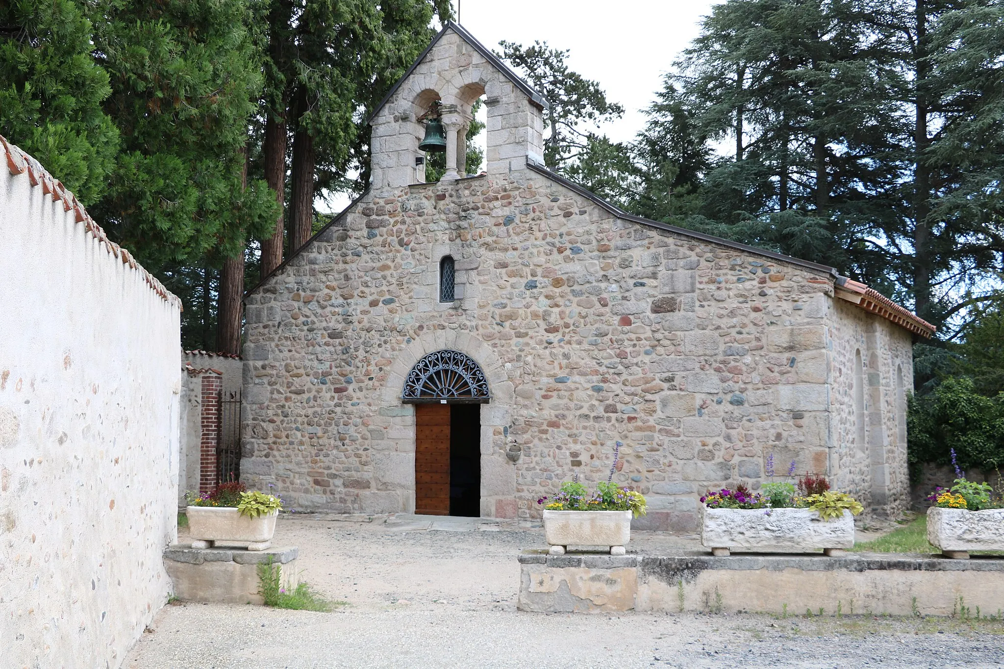
Embark on a breathtaking road cycling journey from Champdieu to Chemin de ronde in the Rhône-Alpes region. This challenging route will take you through charming villages, up steep climbs, and offer breathtaking views along the way. Montbrison is a fascinating historical town situated just 4 kilometers from Champdieu. Explore its medieval architecture and enjoy a local café. As you continue on the route, you will pass through Gumières, known for its picturesque landscapes and rich history. The Col de la Croix de l'Homme Mort, located 24 kilometers from Champdieu, offers stunning panoramic views and is a challenging climb for cyclists. Continue onwards to Saint-Anthème, a quaint village surrounded by lush green hills. As the route progresses, you will reach Col de Baracuchet, known for its challenging ascent and stunning vistas. Pic de Chaudabry, located 52 kilometers from Champdieu, is a must-see spot with its breathtaking views. Finally, the route ends at Chemin de ronde, offering a rewarding conclusion to your cycling adventure.
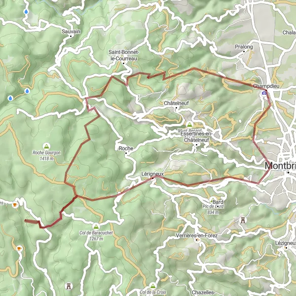
Embark on an exhilarating gravel adventure through Champdieu and its surrounding areas
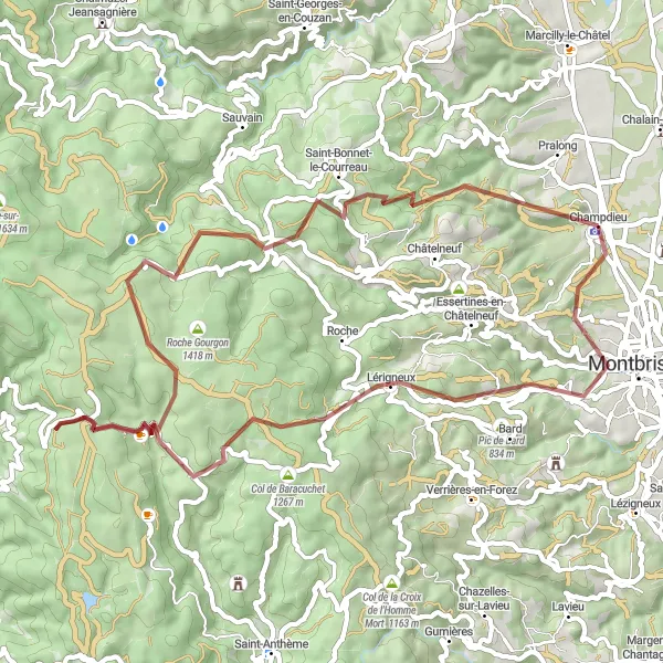
This gravel adventure takes you through the picturesque landscapes near Champdieu, offering a thrilling ride for cyclists of all skill levels. With a total distance of 33 kilometers and an ascent of 800 meters, this route offers a satisfying challenge to even the most well-trained amateurs. The distinct gravel terrain adds an element of excitement and requires a bit of skill. The epicness rating of this route is 3, as it showcases stunning natural beauty and provides a refreshing escape from the busy city life.
Off the Beaten Path
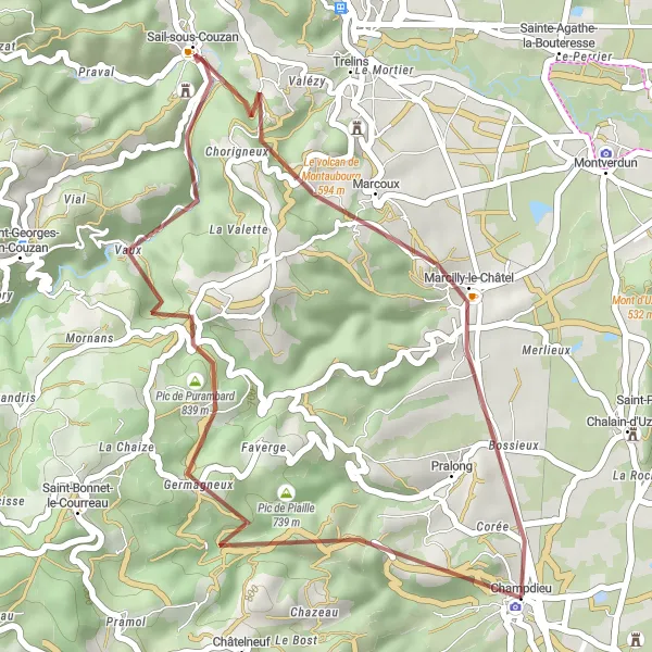
Conquer the gravel roads of Chalain-d'Uzore
For those seeking a thrilling gravel adventure, this route starting near Champdieu, Rhône-Alpes, France is a must-try. Roam the scenic landscapes and conquer 78 km of gravel roads with an elevation gain of 761 m. Chalain-d'Uzore awaits gravel enthusiasts, providing an exhilarating moment along the journey. The overall difficulty rating for this route is 3 out of 5, suitable for experienced gravel riders. With an epicness level of 3, prepare yourself for a memorable off-road experience.
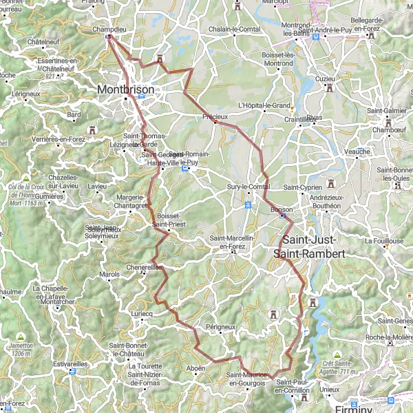
Conquer the breathtaking ascent of Pic de Curtieux
Embark on an epic cycling journey starting near Champdieu, Rhône-Alpes, France. This road route offers a total distance of 136 km and an elevation gain of 3004 m. Prepare yourself for the challenging ascent of Pic de Curtieux. The overall difficulty rating for this route is 4 out of 5, suitable for very well-trained amateurs. The astounding epicness level of 4 ensures a memorable experience for cyclists.
Satisfy your adventurous spirit and conquer the Pic de Bard on this gravel cycling route near Champdieu.
Embark on an epic gravel adventure through the beautiful Forez Mountains. This 59 km route with an ascent of 1585 meters is designed for experienced gravel cyclists seeking a thrilling and challenging ride. As you conquer the tough terrain and steep climbs, you'll be rewarded with awe-inspiring views of the surrounding mountains and picturesque landscapes. The route also offers glimpses of local wildlife and opportunities to explore hidden gems scattered throughout the region. With the iconic Pic de Bard as the centerpiece of the route, this gravel adventure near Champdieu promises an unforgettable experience for gravel enthusiasts.
Cycling routes nearby:


Nearby regions: