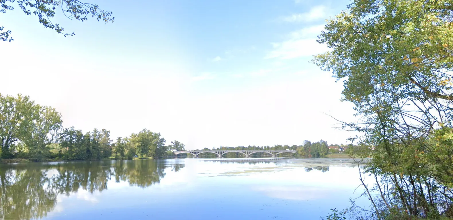
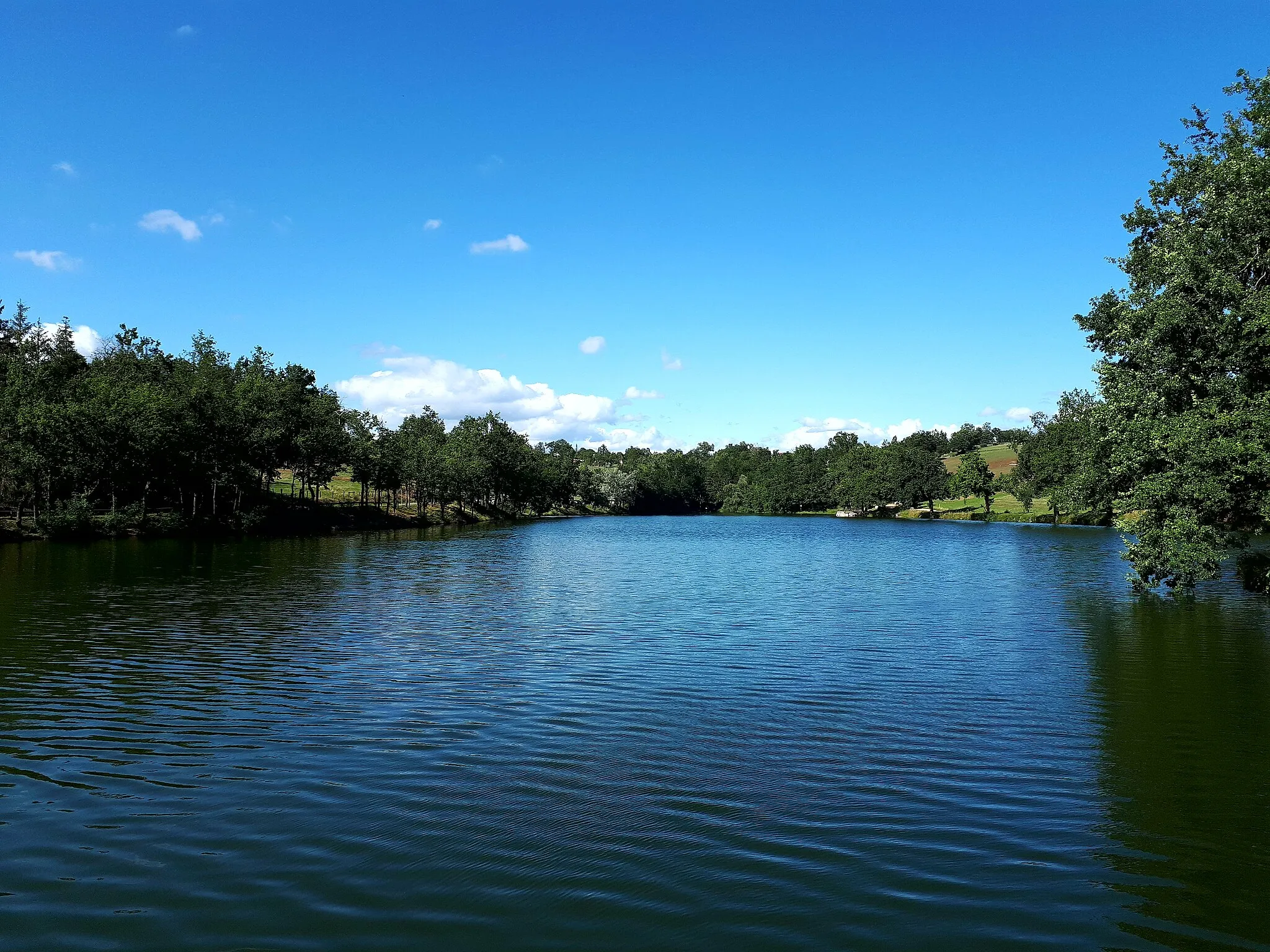
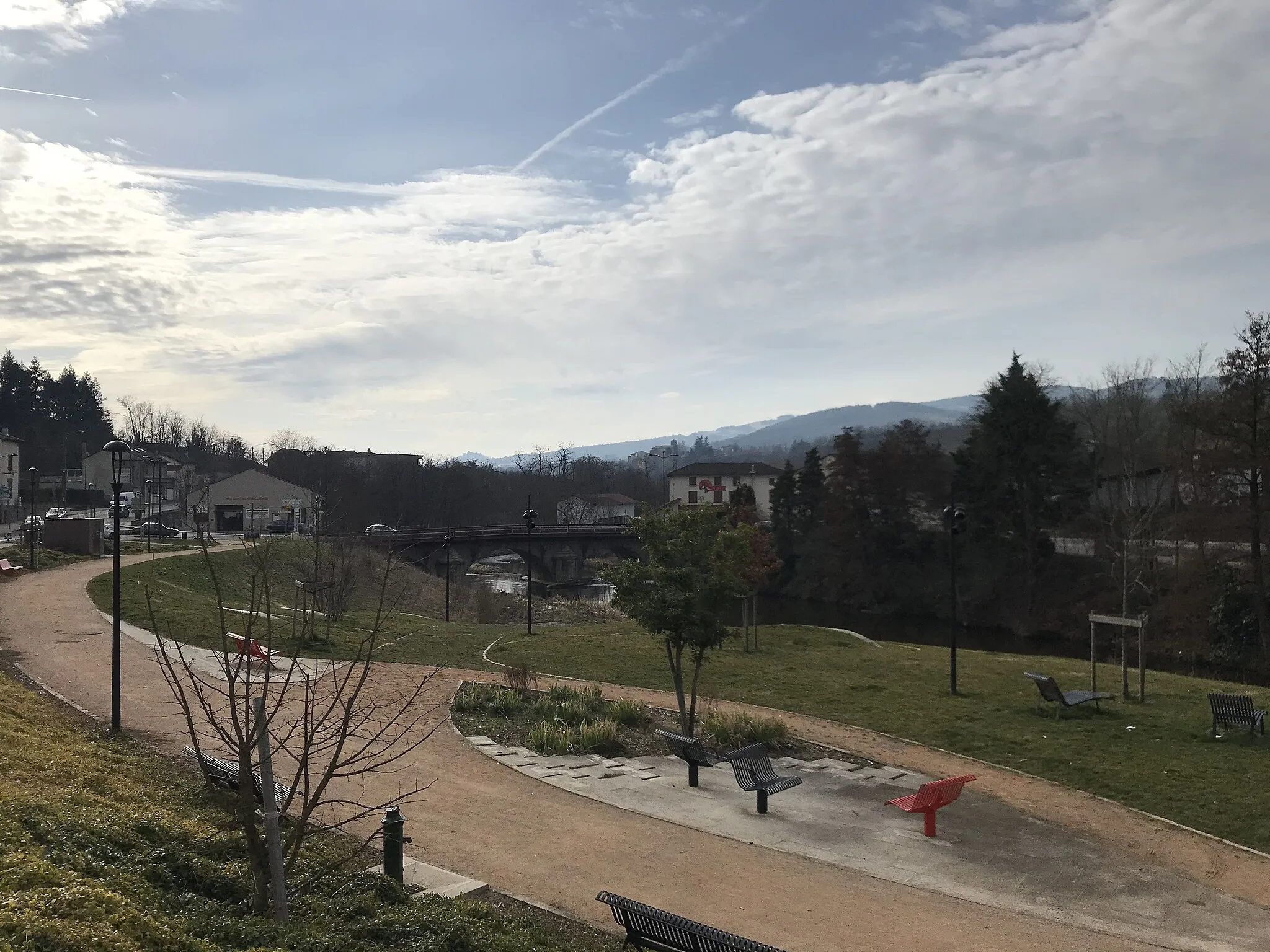
Mix of urban and rural landscapes with the famous Lyon-Saint-Étienne cycling race start.
Cycling routes from Feurs
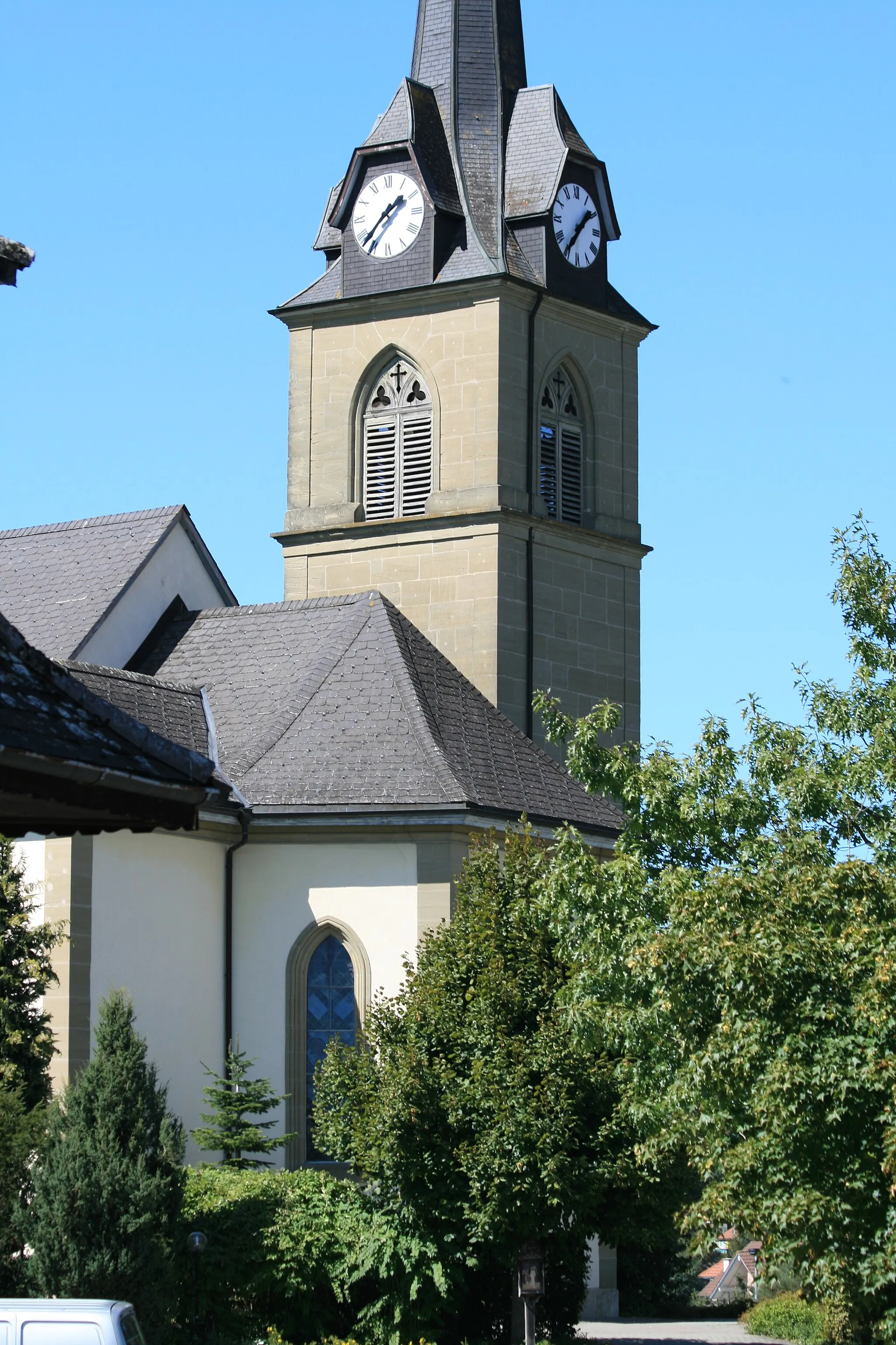
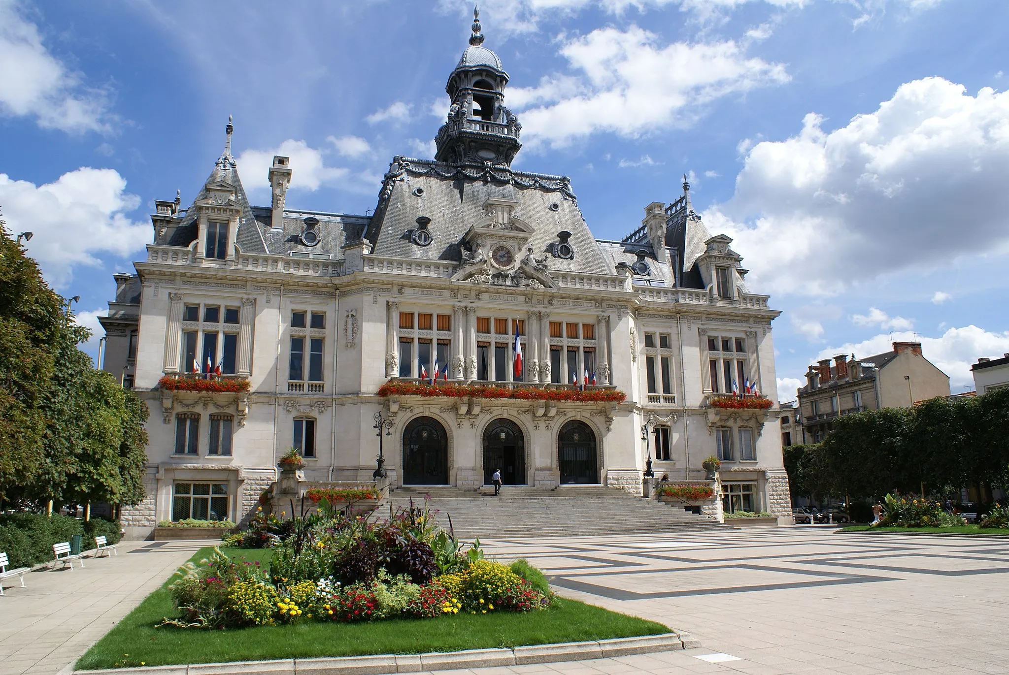
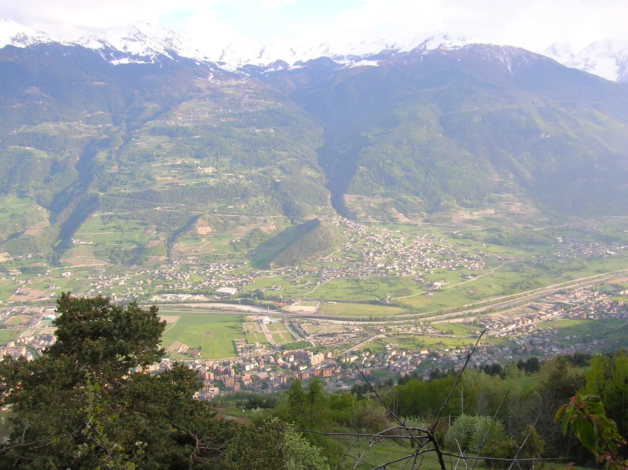
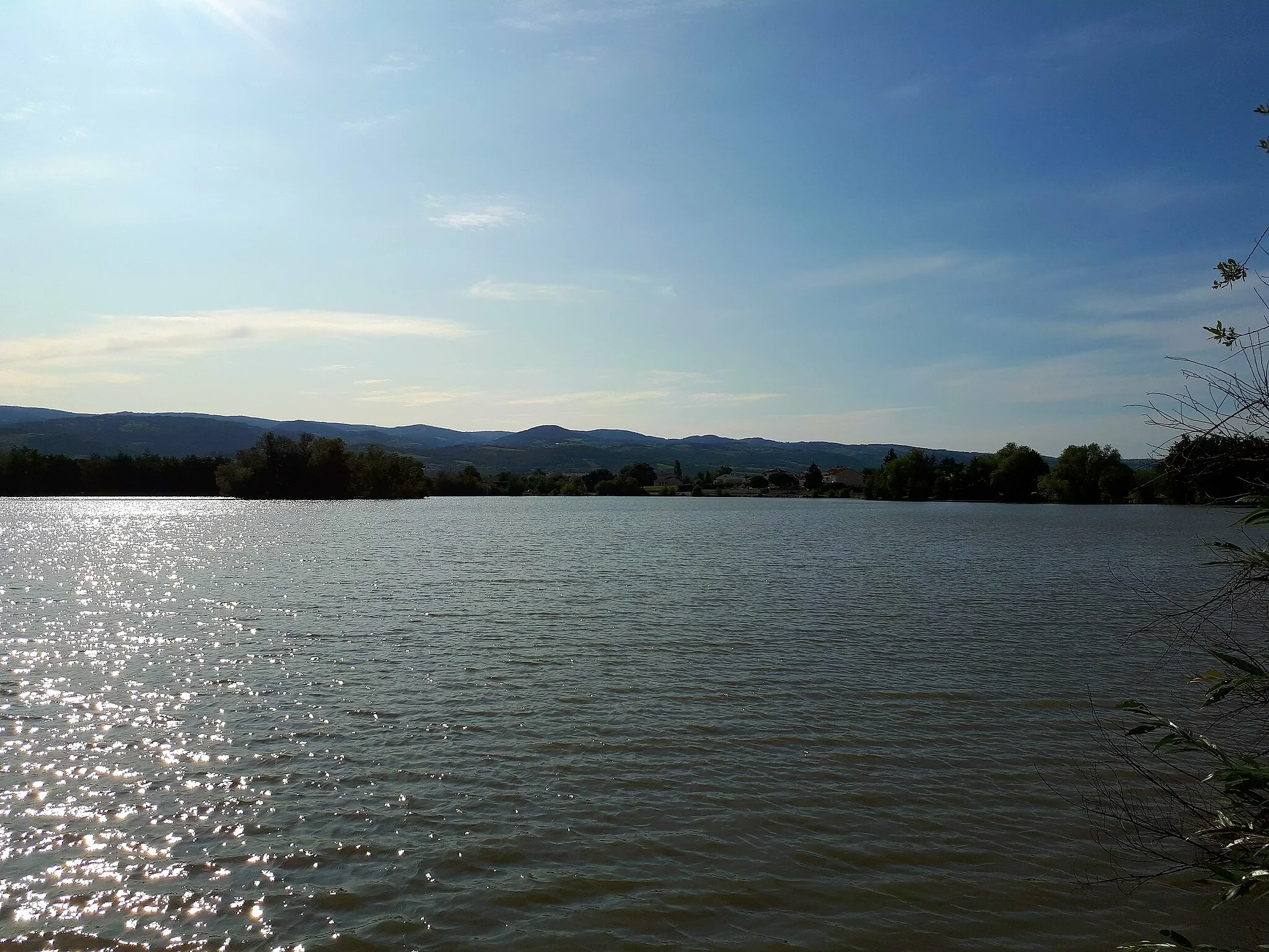
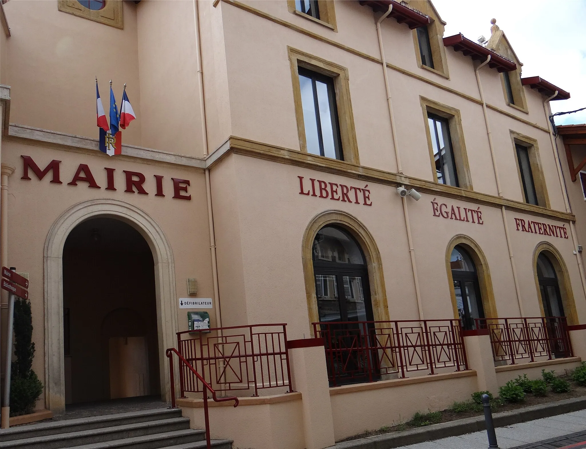
Feurs is situated in Rhône-Alpes, France. It offers a range of cycling opportunities with its mix of urban and rural landscapes. Road and gravel cyclists can explore the town's charming streets and venture out into the surrounding countryside. Feurs is also well-known for hosting the start of the annual Lyon-Saint-Étienne cycling race, making it a popular destination for cycling enthusiasts. The area features undulating terrain and beautiful scenery, particularly along the Loire River. Cyclists visiting Feurs can enjoy a diverse range of cycling routes suitable for different skill levels.
The Mont Renard Loop
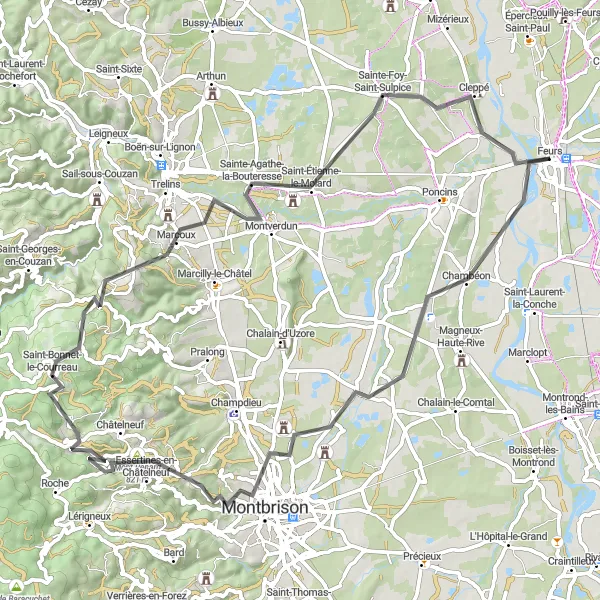
Climb the heights and explore the charm of Chambéon to Mont Renard.
Embark on a challenging road cycling adventure from Feurs, Rhône-Alpes. This route takes you through picturesque landscapes, including the enchanting towns of Chambéon, Montbrison, and Mont Renard. With a total distance of 75 kilometers and an ascent of 892 meters, this route is suitable for well-trained amateurs. The route guarantees a mix of countryside beauty, historical architecture, and delightful local cuisine.
Cleppé Circuit
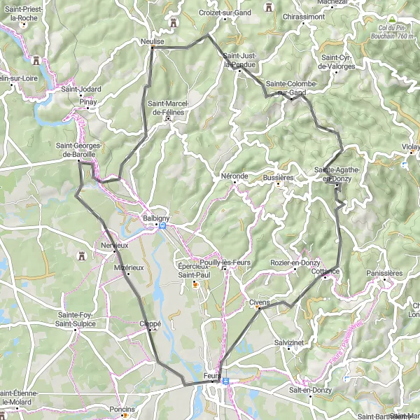
Embark on a scenic journey through picturesque landscapes on the Cleppé circuit.
The Cleppé circuit is a delightful cycling route that takes you through beautiful landscapes and enchanting villages near Feurs, Rhône-Alpes. With an ascent of 753 meters and a distance of 61 kilometers, this route offers a moderate challenge for well-trained amateurs. The Cleppé circuit is known for its breathtaking highlights, such as the charming village of Saint-Georges-de-Baroille and the picturesque town of Saint-Just-la-Pendue. This route offers a mix of rolling hills and smooth roads, providing a wonderful cycling experience for enthusiasts of all levels. Don't miss the opportunity to explore the historical town of Feurs, with its rich architectural heritage and vibrant atmosphere.
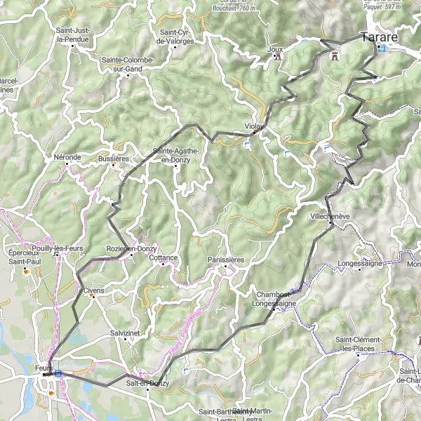
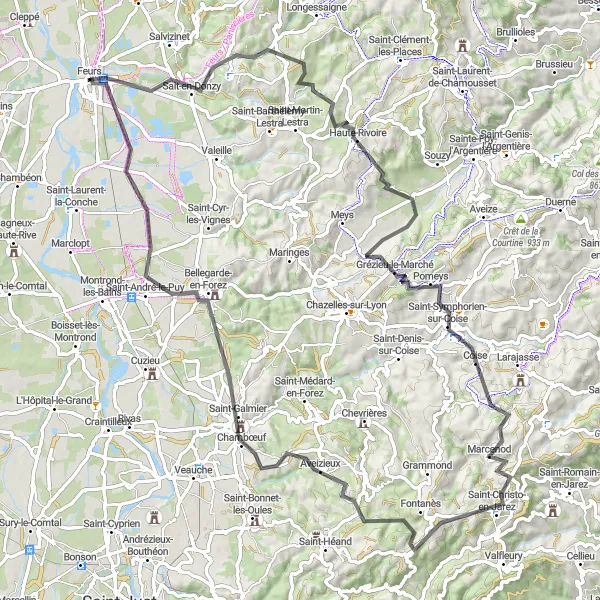
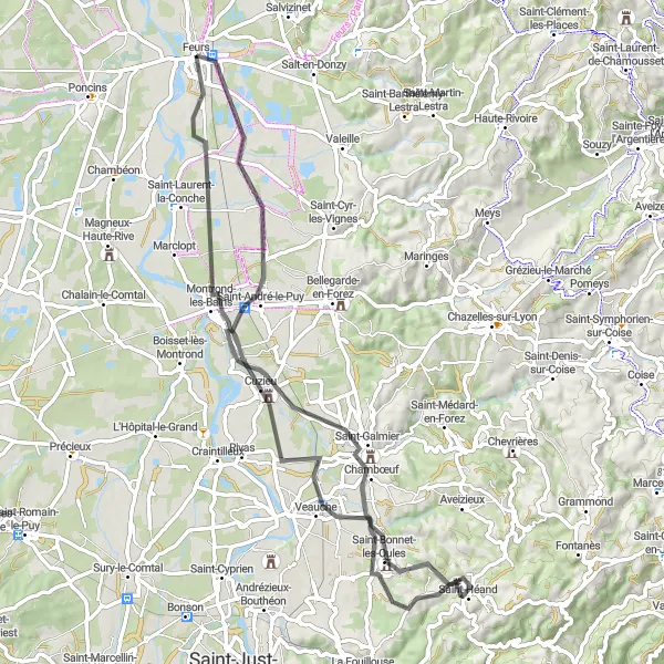
Embark on a legendary ride through Civens to Mont du Crépier.
Challenge yourself with this legendary road cycling route that ventures from Feurs to Mont du Crépier. With a total distance of 71 kilometers and a challenging ascent of 1278 meters, this route separates the true cycling enthusiasts from the rest. Highlights include the scenic town of Civens, the picturesque village of Bussières, and the unforgettable panorama from Col de la Croix Cazard.
Gravel Adventure
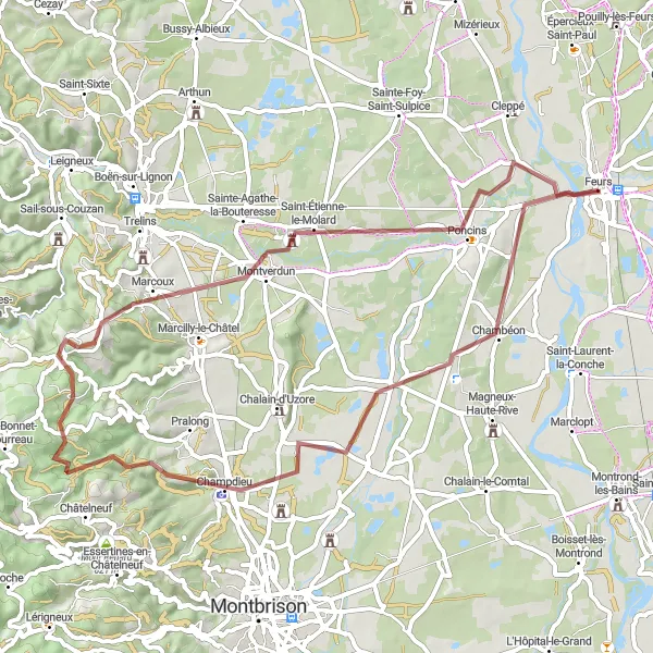
Immerse yourself in the scenic beauty of the Rhône-Alpes region on this adventurous gravel ride.
Embark on an exciting gravel adventure through the picturesque landscapes of the Rhône-Alpes region. With an ascent of 639 meters and a distance of 59 kilometers, this route is suitable for well-trained amateurs looking to explore off-road trails. The Gravel Adventure route highlights include the charming village of Mornand-en-Forez and the majestic Pic de Purambard, offering breathtaking views of the surrounding mountains. Don't miss the opportunity to visit the historic town of Montverdun, with its impressive castle ruins and rich medieval history.
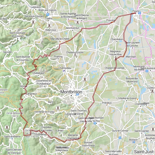
Explore the stunning Loire Valley on this challenging road cycling route
Embark on a thrilling cycling adventure through the Loire Valley with its rolling hills and captivating landscapes. The Loire Valley Adventure route is ideal for experienced cyclists seeking a challenge. With a significant ascent of 1350 meters and a total distance of 94 kilometers, this route promises both excitement and breathtaking views. The Loire Valley is renowned for its picturesque vineyards, majestic chateaux, and charming villages, making it a perfect destination for avid cyclists and lovers of French culture.
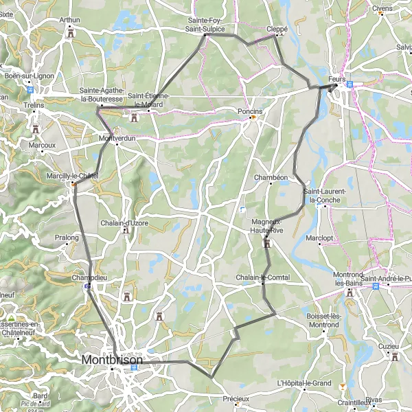
Explore the stunning landscapes and charming villages on the Bellegarde-en-Forez route.
Embark on a scenic journey through the stunning landscapes and picturesque villages near Feurs, Rhône-Alpes, on the Bellegarde-en-Forez route. With an ascent of 303 meters and a distance of 82 kilometers, this route offers a smooth and enjoyable ride for cyclists of all levels. Some of the highlights along this route include the enchanting village of Veauche and the historic town of Saint-Marcellin-en-Forez. Don't miss the opportunity to explore Savigneux, a charming village known for its beautiful gardens and vibrant local market. Poncins, located on the banks of the Loire River, offers scenic views and a tranquil atmosphere.
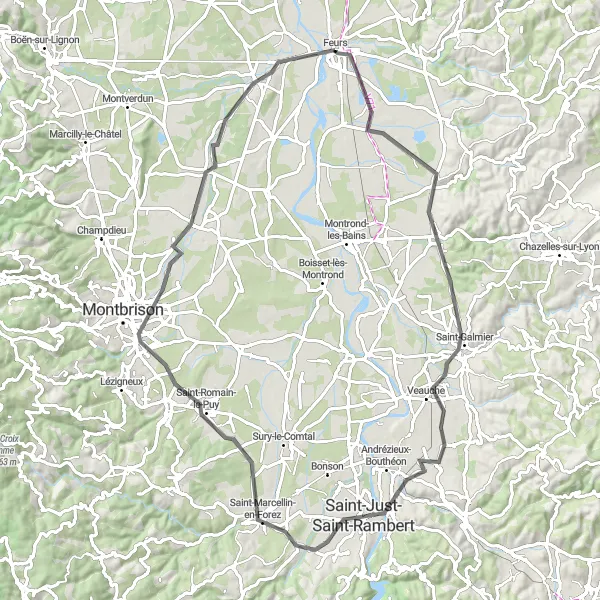
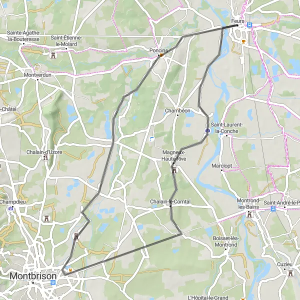
A scenic route through the countryside surrounding Feurs
Feurs Circuit offers a picturesque cycling tour through the outskirts of Feurs. With an ascent of 223 meters and a total distance of 61 kilometers, this route is suitable for moderately experienced cyclists. Along the way, you'll encounter charming towns, tranquil landscapes, and scenic views. The circuit provides a great opportunity to explore the Rhône-Alpes region of France.
Immerse yourself in the heart of Rhône-Alpes, from Montrond-les-Bains to Tour de Grézieu.
Embark on an exploratory journey through the heart of Rhône-Alpes with this captivating road cycling route. With a total distance of 69 kilometers and a moderate ascent of 378 meters, this route offers a mix of scenic beauty and historical landmarks. Highlights include the charming towns of Montrond-les-Bains, Veauche, and Saint-Héand, each showcasing their unique attractions.
Embark on a thrilling gravel journey and conquer the challenging ascent to Pic de Chaudabry.
Explore the uncharted territory near Feurs with this exhilarating gravel cycling route. With a total distance of 95 kilometers and an ascent of 1356 meters, this route is recommended for experienced cyclists seeking an off-road adventure. Highlights along the route include the charming towns of Magneux-Haute-Rive, Margerie-Chantagret, and Gumières, each offering their own unique charm.
Experience the tranquility of the scenic Rhône-Alpes countryside in this leisurely cycling route.
Take a leisurely ride through the picturesque countryside near Feurs. With a total distance of 44 kilometers and minimal ascent, this route is perfect for cyclists of all skill levels. Highlights include the charming village of Chalain-le-Comtal, the tranquil town of Mornand-en-Forez, and the serene landscapes surrounding Poncins.
Cycling routes nearby:


Nearby regions: