Scenic Beauty and Challenging Climbs
Cycling routes from Chazelles-sur-Lyon
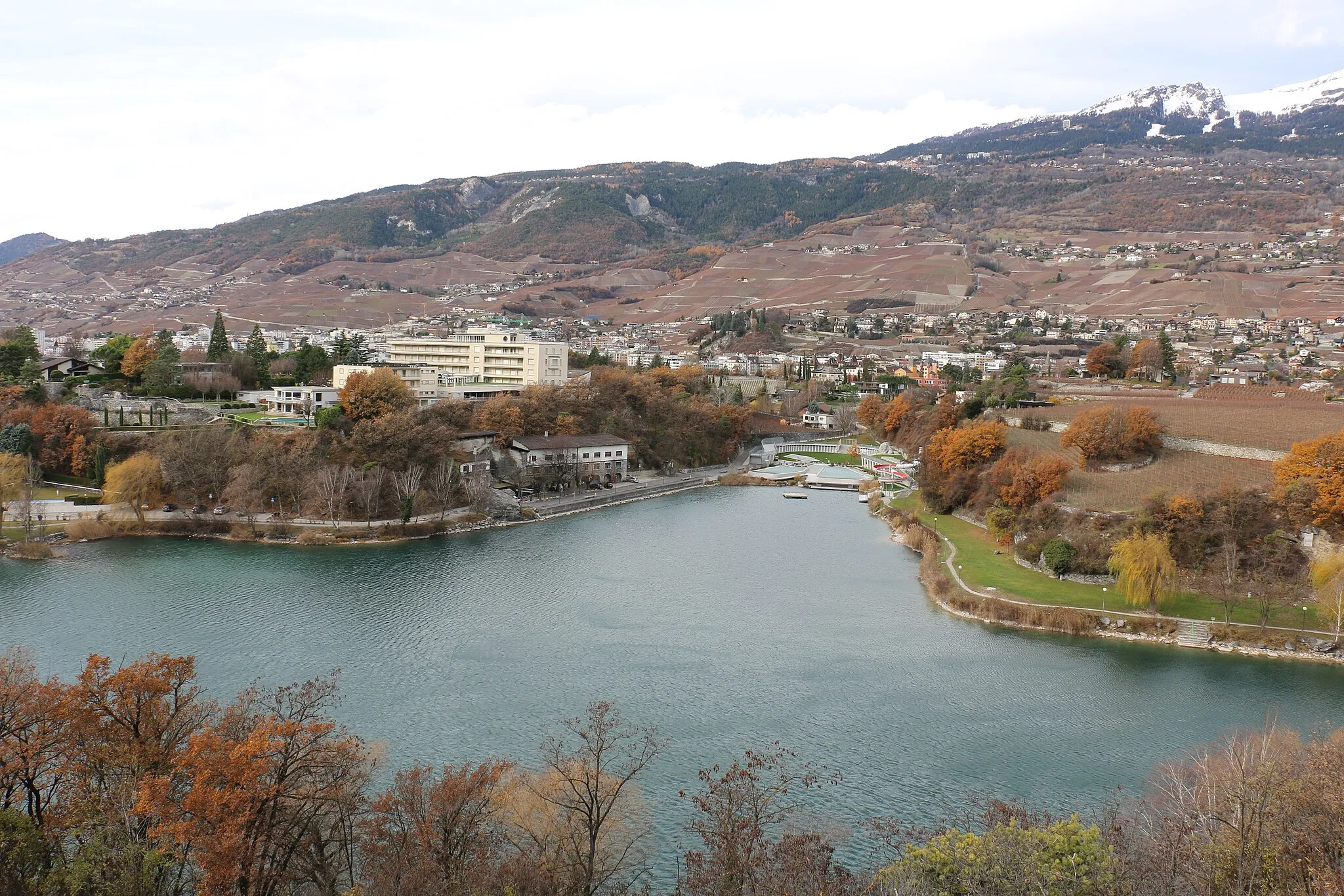
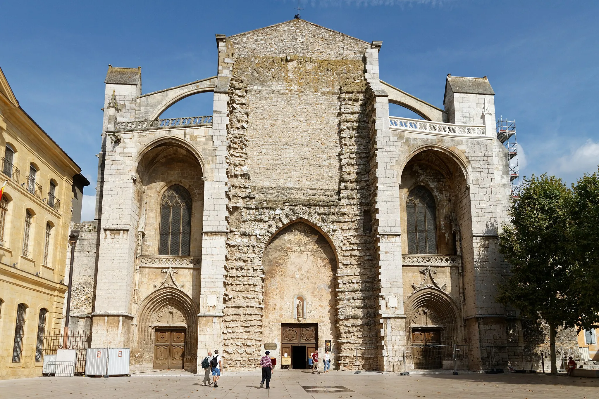
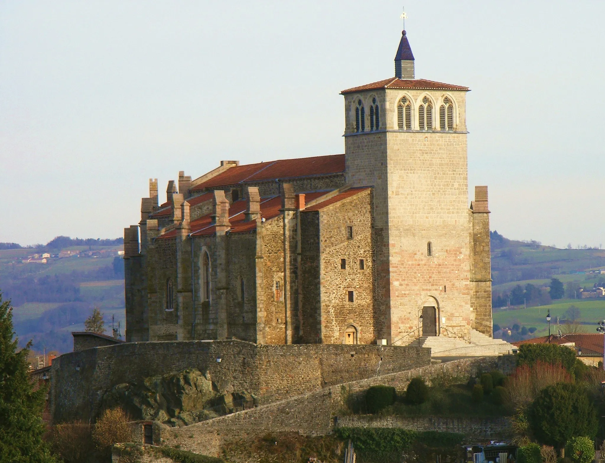
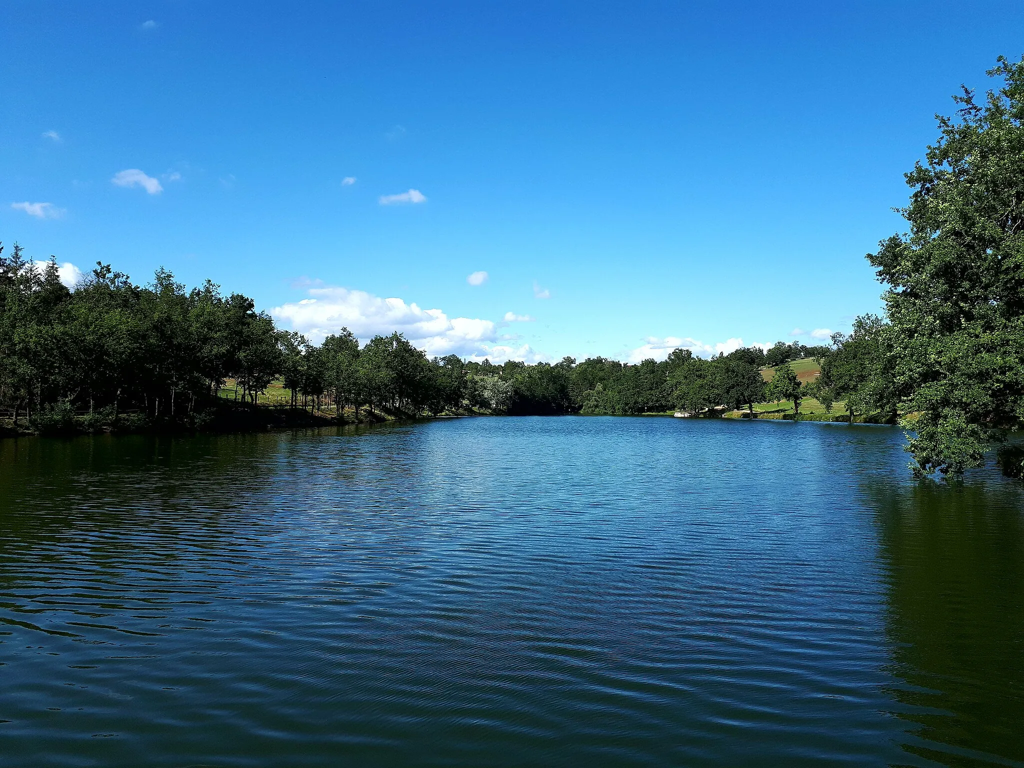
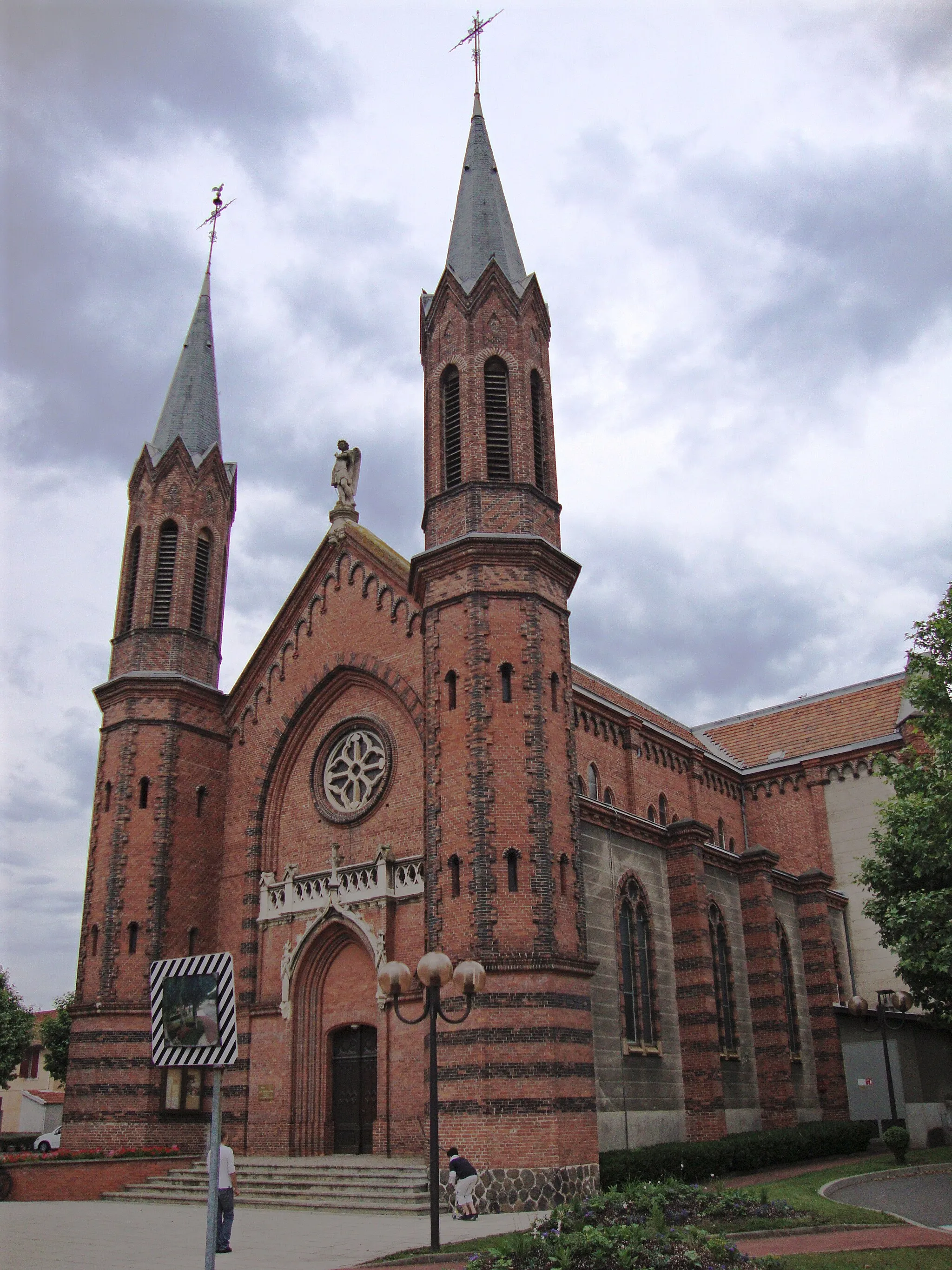
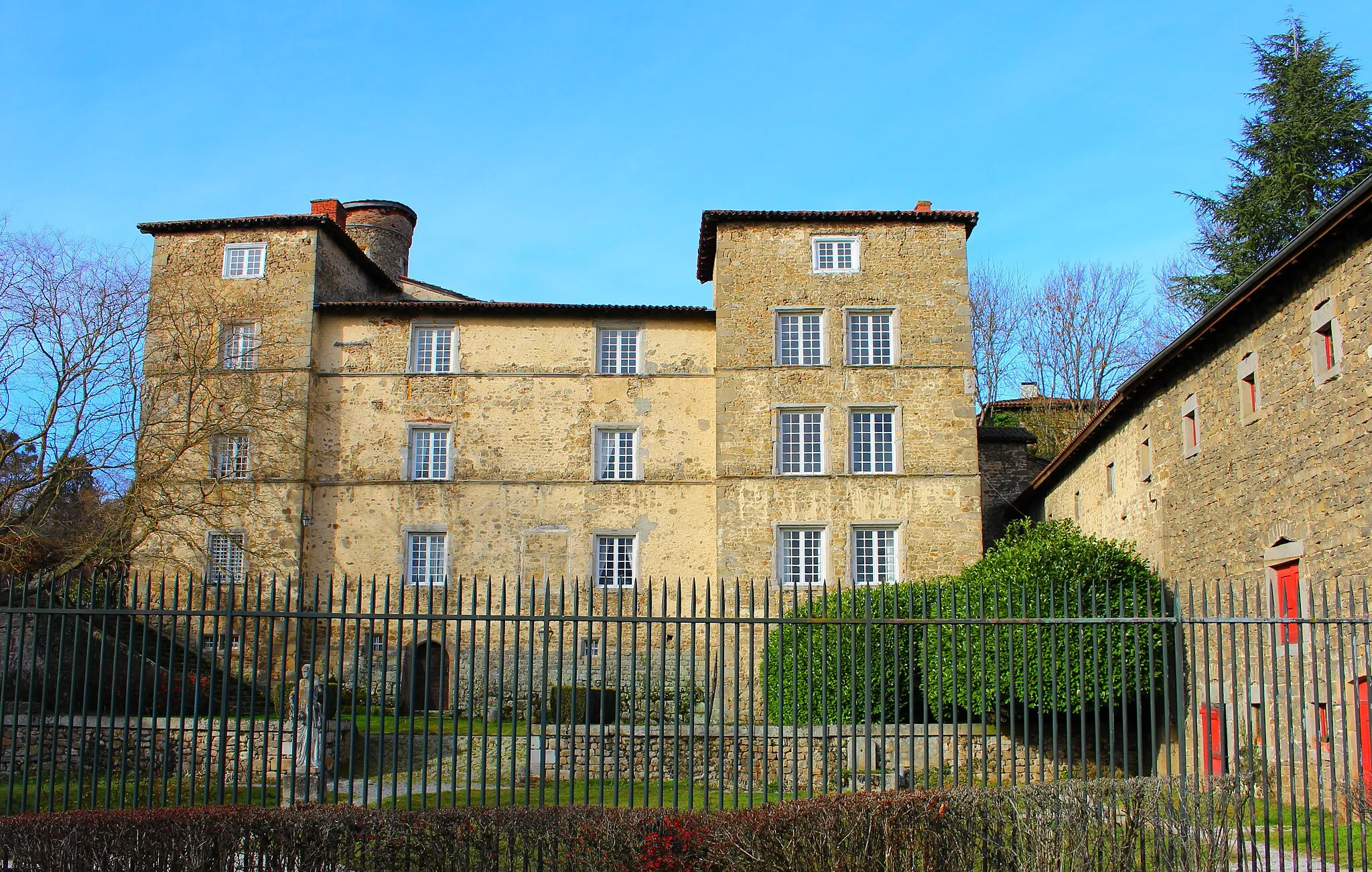
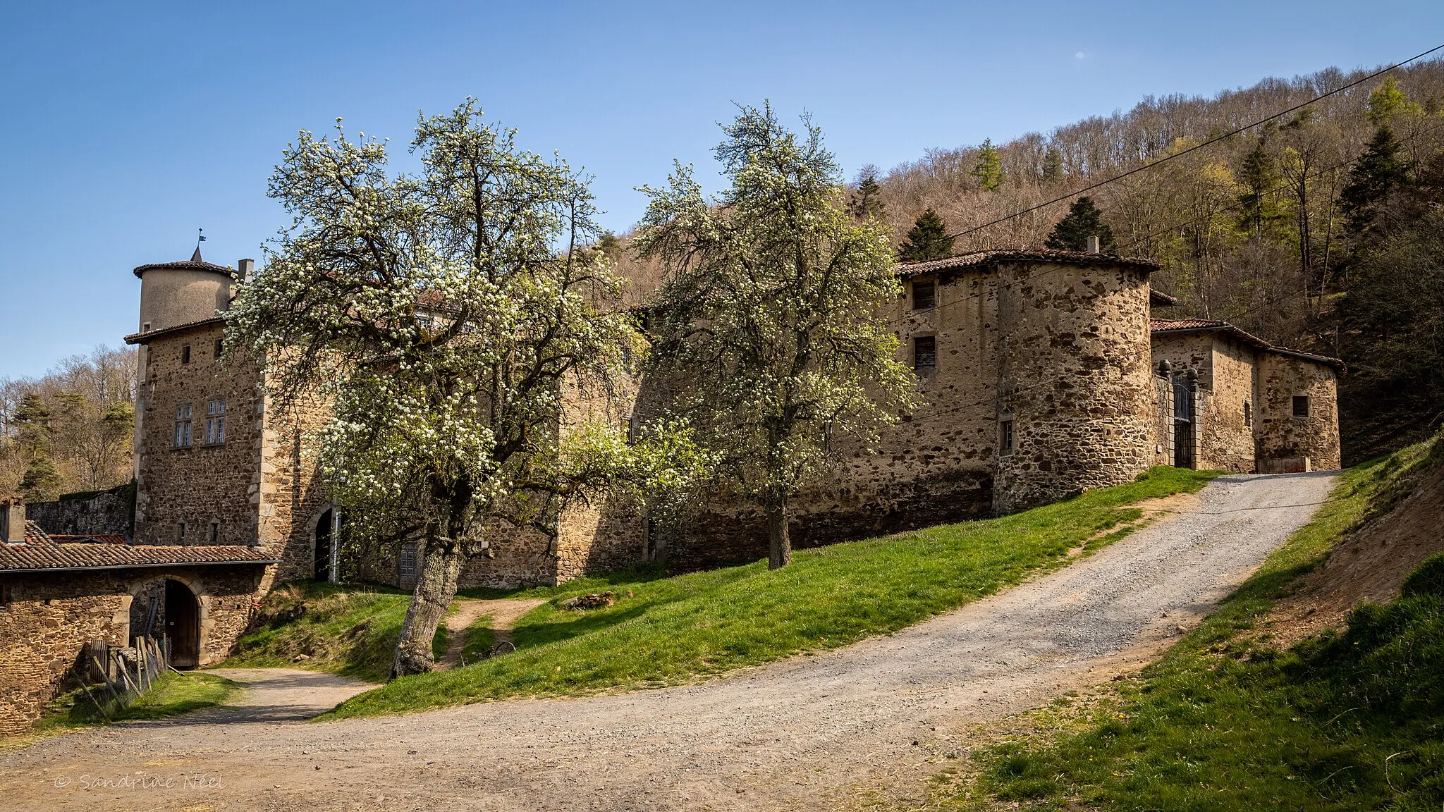
Chazelles-sur-Lyon, situated in the Rhône-Alpes region of France, provides excellent cycling options for road and gravel cyclists. The locality features diverse terrains, including rolling hills, picturesque valleys, and lush forests. Cyclists can explore the scenic routes that wind through the enchanting landscapes. One notable cycling spot nearby is the Mont Pilat, a challenging climb that offers stunning views from the summit. Chazelles-sur-Lyon is a great destination for cyclists seeking both scenic beauty and thrilling rides.
Rolling Hills and Scenic Views
Enjoy panoramic views and explore charming towns
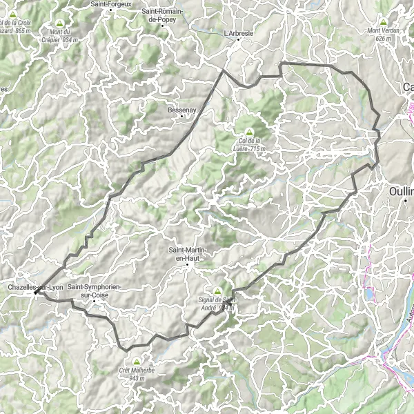
This road route starting near Chazelles-sur-Lyon offers a scenic cycling experience through rolling hills and picturesque landscapes. With a distance of 101 km and an ascent of 1647 m, it is suitable for intermediate cyclists. Highlights along this route include Sainte-Foy-l'Argentière, Lentilly, Francheville, Soucieu-en-Jarrest, Grand Mont, and Chazelles-sur-Lyon. These highlights offer breathtaking panoramic views, historic sites, and charming towns. Overall, this route provides a balanced mix of challenges and enjoyable moments.

Embark on a thrilling gravel adventure to Chazelles-sur-Lyon.
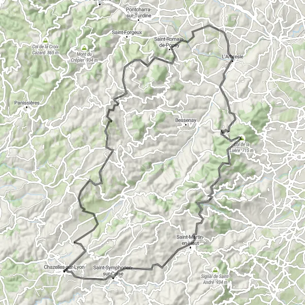
If you're looking for an epic off-road adventure, this 61-kilometer gravel route is for you. With 1658 meters of ascent, it offers a thrilling challenge for experienced gravel cyclists. The route starts near Chazelles-sur-Lyon and takes you through picturesque landscapes and quaint villages. Highlights along the way include Saint-Symphorien-sur-Coise, Table d'orientation, Saint-Didier-sous-Riverie, Crêt Féchet, Saint-Romain-en-Jarez, Coise, and the historic town of Chazelles-sur-Lyon. This route is only suitable for gravel bikes and is recommended for cyclists seeking a high level of difficulty and epicness. With a difficulty rating of 4 and an epicness rating of 5, this route guarantees an unforgettable adventure.
The Mountain Challenge

Conquer the challenging climbs of Lyon
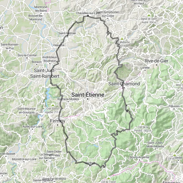
Embark on a cycling adventure through the mountainous terrain of Lyon. This road route starting near Chazelles-sur-Lyon encompasses a distance of 151 km and an ascent of 2951 m, making it a challenging route for experienced cyclists. The highlights along this route include Coise, Crêt Malherbe, Crêt Saint-Georges, Saint-Chamond, La Valla-en-Gier, Croix de Chaubouret, Col de la République, Saint-Régis-du-Coin, Riotord, Saint-Didier-en-Velay, Chambles, and Saint-Just-Saint-Rambert. These highlights offer stunning mountain vistas, iconic climbs, and historic landmarks. Overall, this route provides an epic and unforgettable cycling experience in the mountains of Lyon.
Ride through rolling hills and charming villages
The round-trip cycling route starting near Chazelles-sur-Lyon takes you through the picturesque landscapes of Lyon. With a distance of 102 km and an ascent of 1812 m, this road route is perfect for experienced cyclists. The route includes highlights such as Les Halles, Crêt Pélerat, Ancy, L'Arbresle, Chevinay, Marmottes, Point de vue Rochefort, Saint-Martin-en-Haut, and Saint-Symphorien-sur-Coise. These highlights offer breathtaking views, historic sites, and local attractions. Overall, this route offers a challenging and rewarding cycling experience.
Gravel Adventure

Explore the countryside on a gravel ride
For gravel enthusiasts, this round-trip cycling route starting near Chazelles-sur-Lyon offers an adventurous and scenic experience. Covering a distance of 47 km with an ascent of 1105 m, this route is suitable for intermediate gravel riders. Highlights along this route include Fontanès, Mont Morin, Saint-Héand, and Saint-Médard-en-Forez. These highlights offer peaceful countryside views, gravel paths surrounded by nature, and charming villages. Overall, this route provides a unique and off-road cycling experience.

Discover the hidden gems surrounding Chazelles-sur-Lyon on this scenic road cycling route.
Explore the hidden gems surrounding Chazelles-sur-Lyon on this beautiful 62-kilometer road cycling route. With 1222 meters of ascent, this route offers a moderate challenge for well-trained amateur cyclists. Highlights include Maringes, Saint-Barthélemy-Lestra, Essertines-en-Donzy, Villechenève, Saint-Laurent-de-Chamousset, and the historic town of Chazelles-sur-Lyon. While the difficulty level is 3, the epicness rating is a high 4, as this route takes you through picturesque landscapes and charming villages. Don't miss the opportunity to discover the rich history and natural beauty of the region.

Experience the stunning views along the Chazelles Ridge Circuit.
The Chazelles Ridge Circuit offers breathtaking views and challenging terrain for cyclists. Starting near Chazelles-sur-Lyon, this route takes you on a 45-kilometer journey with 761 meters of ascent. The route is suitable for road bikes and is a great option for well-trained amateur cyclists seeking a moderate challenge. Highlights along the route include the Crêt de la Courtine, Duerne, Saint-Martin-en-Haut, Coise, and the picturesque town of Chazelles-sur-Lyon. With a difficulty level of 3 and a high epicness rating of 4, this route promises a memorable cycling experience.
The Lyon Challenge
Conquer famous climbs and cycle through iconic spots
For experienced cyclists seeking a challenge, this road route starting near Chazelles-sur-Lyon offers breathtaking climbs and iconic cycling spots. With a distance of 138 km and an ascent of 2702 m, this route is suitable for experienced riders. Highlights along this route include Châtelus, Crêt Saint-Georges, Saint-Chamond, La Valla-en-Gier, Croix de Chaubouret, Col de la République, Saint-Régis-du-Coin, Saint-Just-Malmont, Firminy, Saint-Just-sur-Loire, and Saint-Galmier. These highlights encompass famous climbs, stunning vistas, and historic landmarks. Overall, this route provides an epic and challenging cycling adventure through Lyon's most renowned cycling spots.
Conquer the challenge of Crêt Malherbe on this exhilarating gravel route.
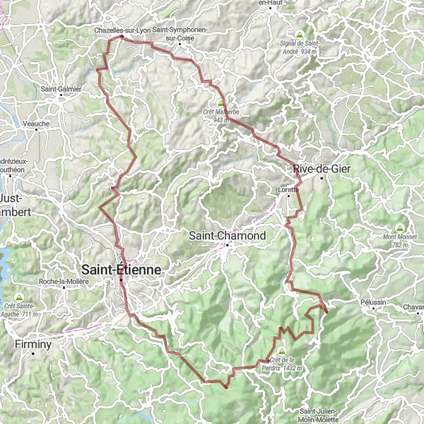
Are you ready for an exhilarating mountain challenge? This 111-kilometer gravel route takes you through breathtaking landscapes and up the legendary climb of Crêt Malherbe. With a whopping 2757 meters of ascent, this route is only suitable for experienced cyclists seeking an extreme challenge. Highlights along the route include Coise, Crêt Malherbe, Saint-Paul-en-Jarez, Doizieux, Crêt de la Perdrix, Saint-Étienne, and Saint-Médard-en-Forez. This route has a difficulty rating of 5 and an epicness rating of 5, making it an extraordinary adventure for seasoned cyclists. Prepare to push your limits on this legendary mountain challenge.

Embark on a challenging road cycling adventure through the picturesque Rhône-Alpes region.
Experience the stunning natural beauty of Rhône-Alpes as you tackle the Le Grand Mont Loop. This 86 km road cycling route offers breathtaking views, challenging ascents, and charming towns along the way. Prepare to be amazed by the diversity of landscapes and the rich cultural heritage of the region.
Cycling routes nearby:

Nearby regions: