Cycling Paradise in the Rhône-Alpes
Cycling routes from Saint-Symphorien-sur-Coise
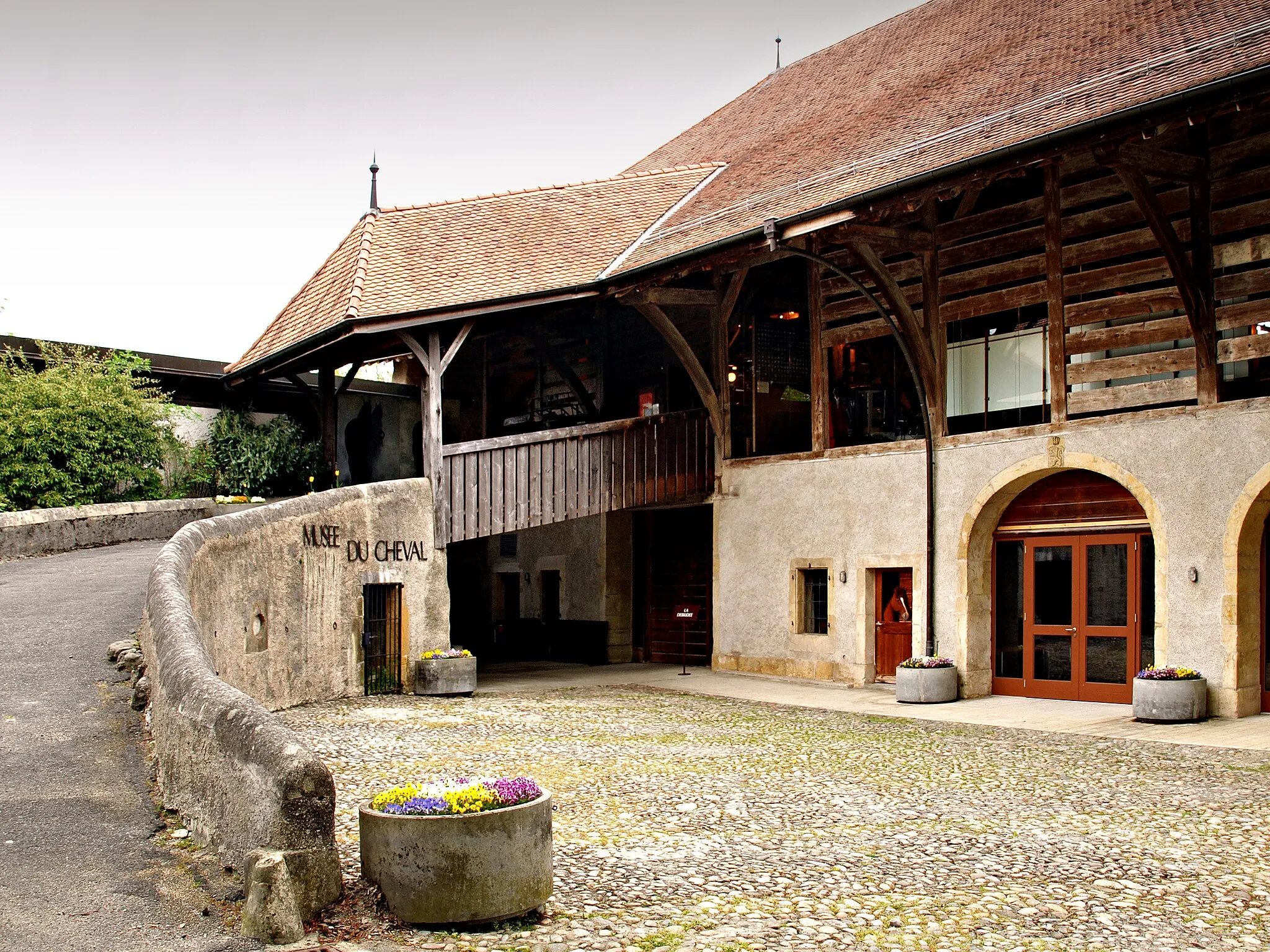
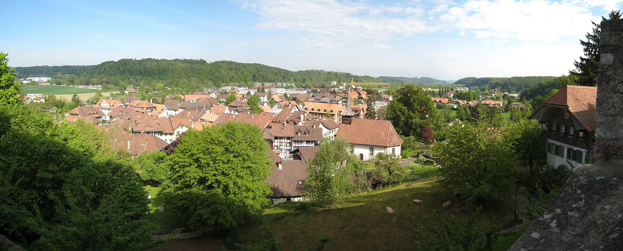
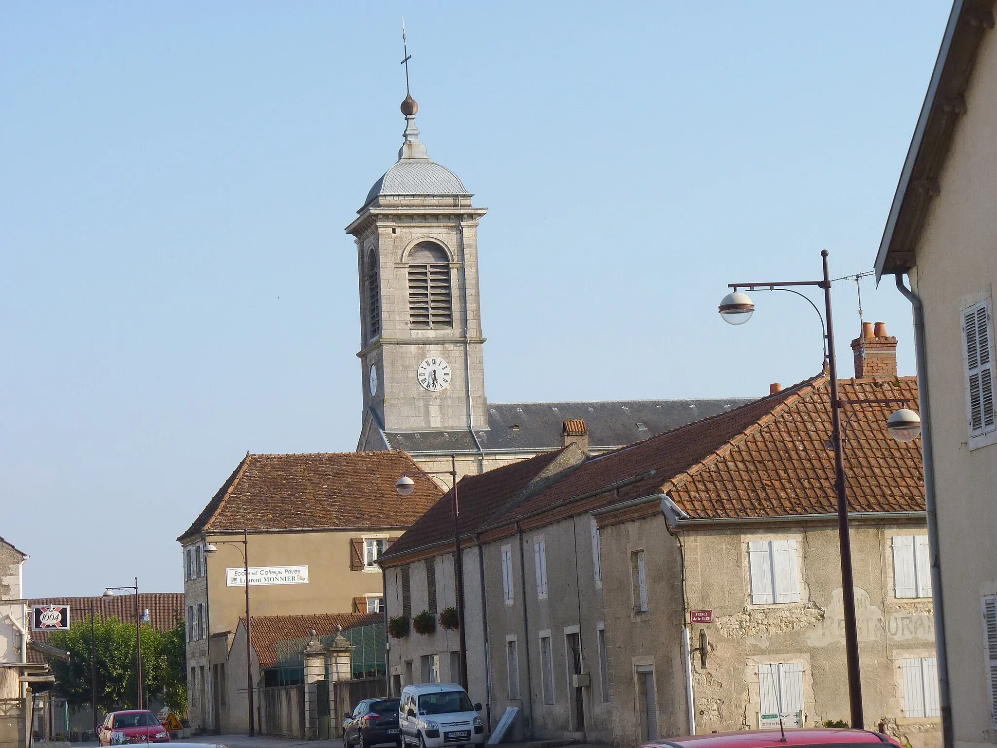
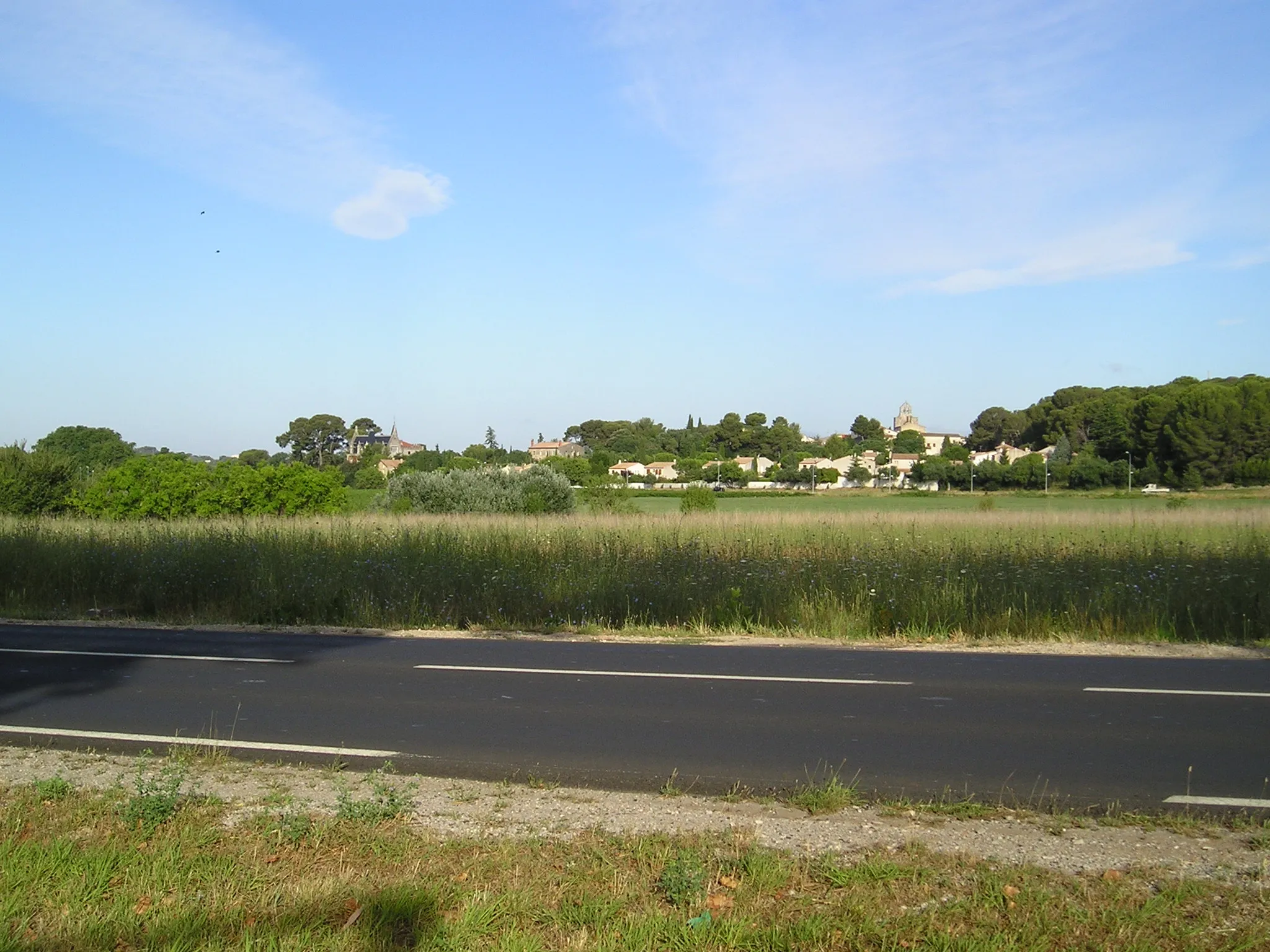
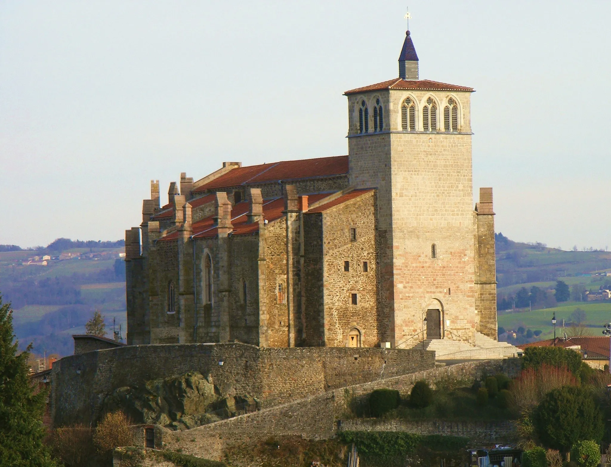
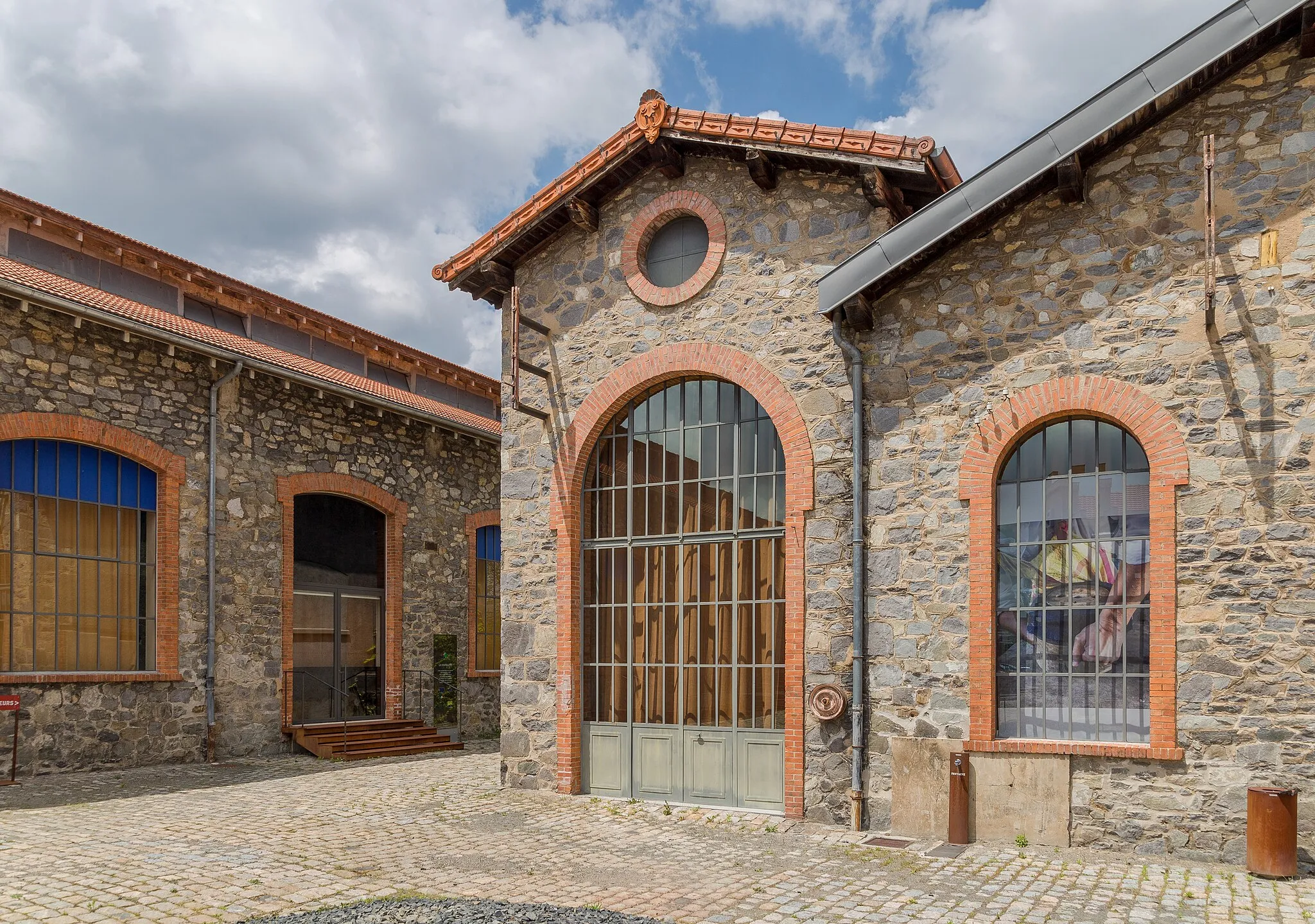
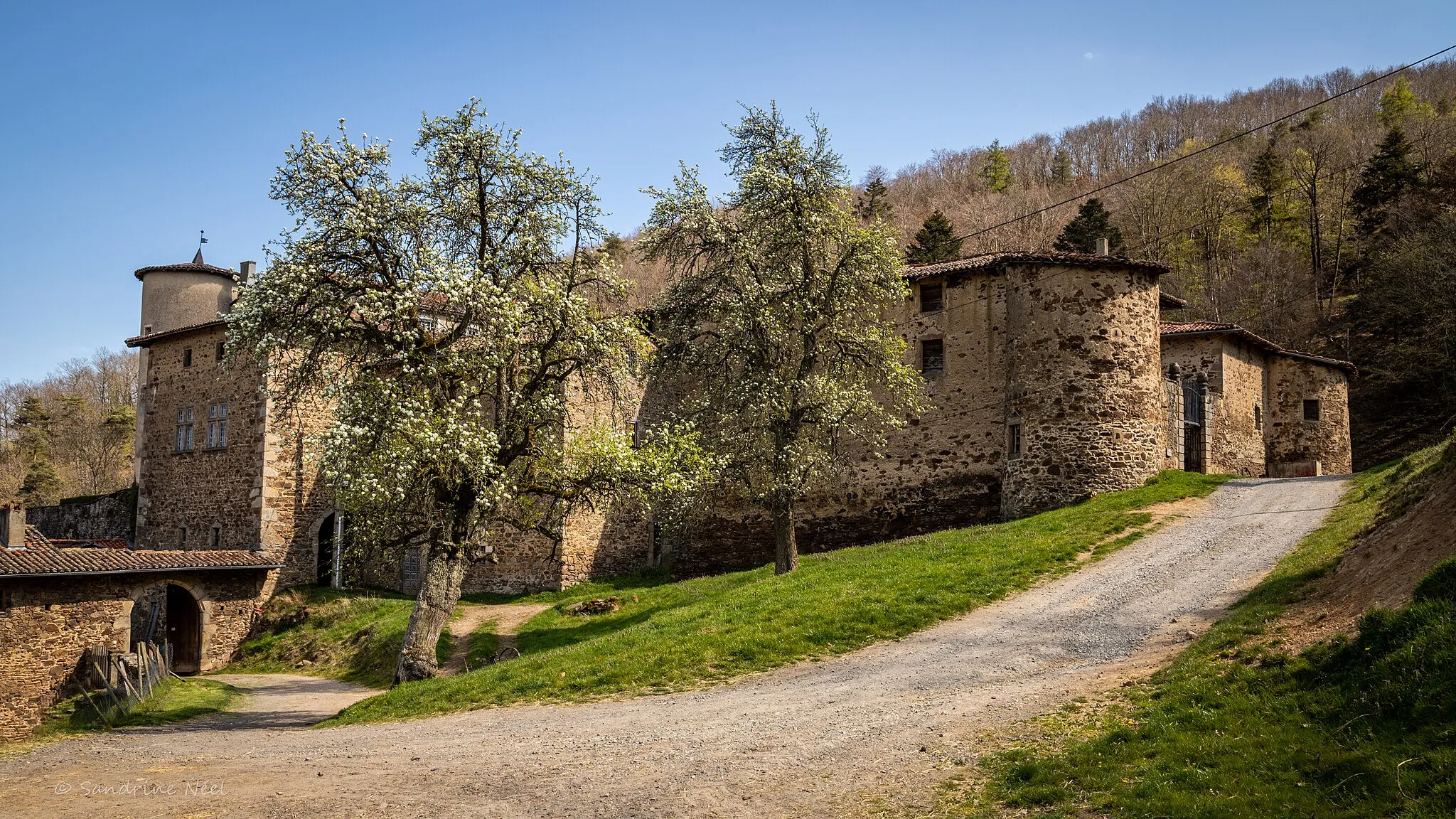
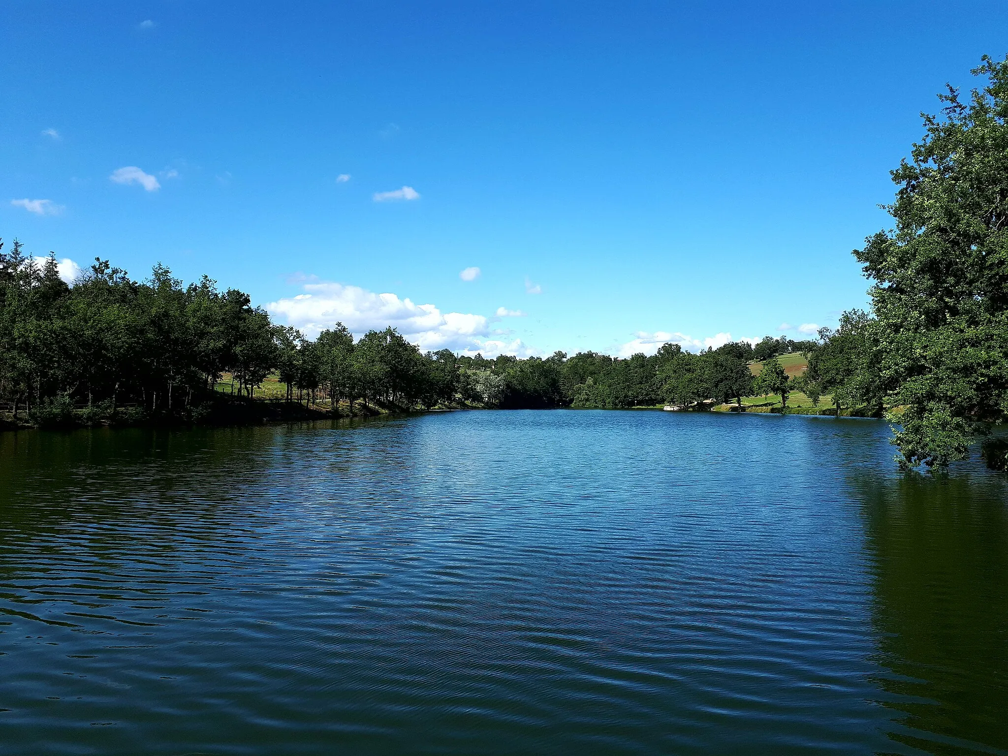
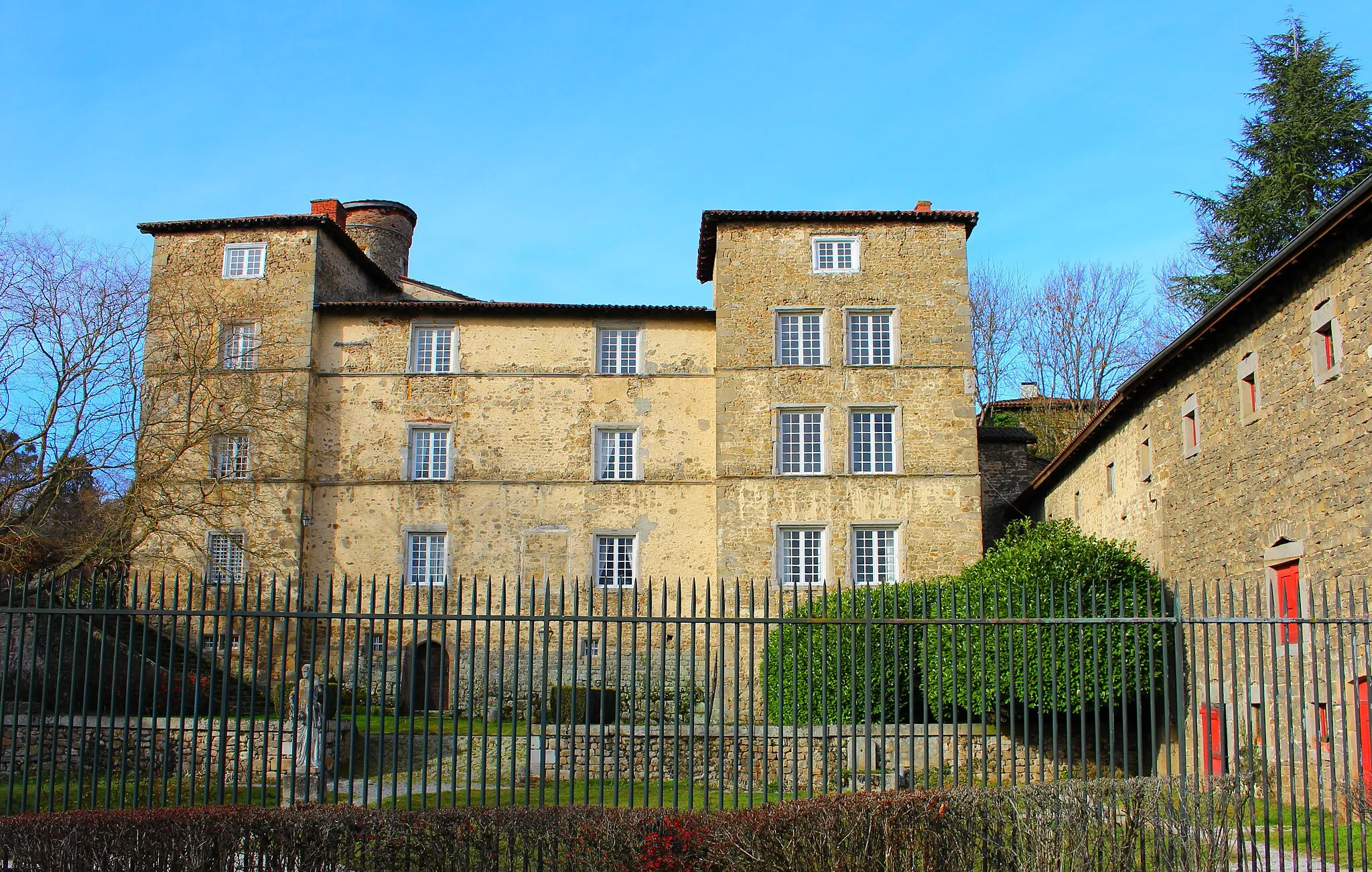
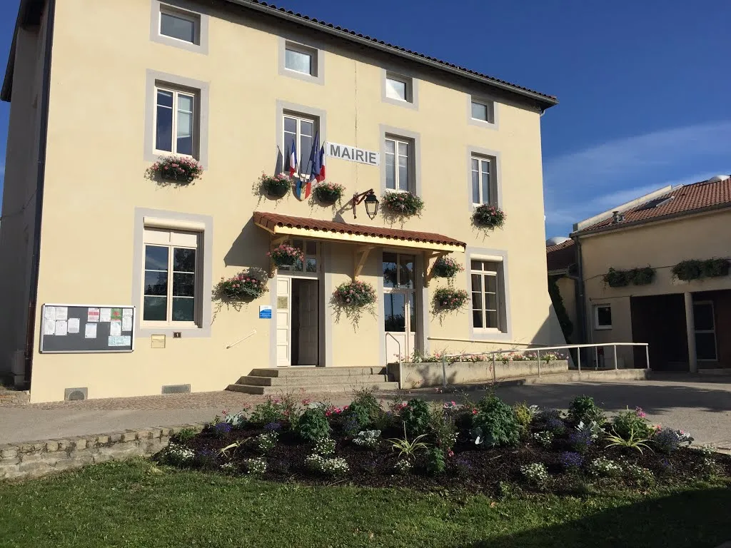
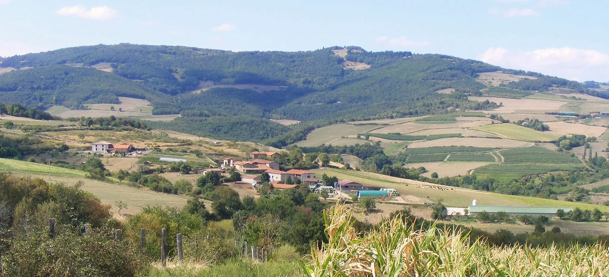
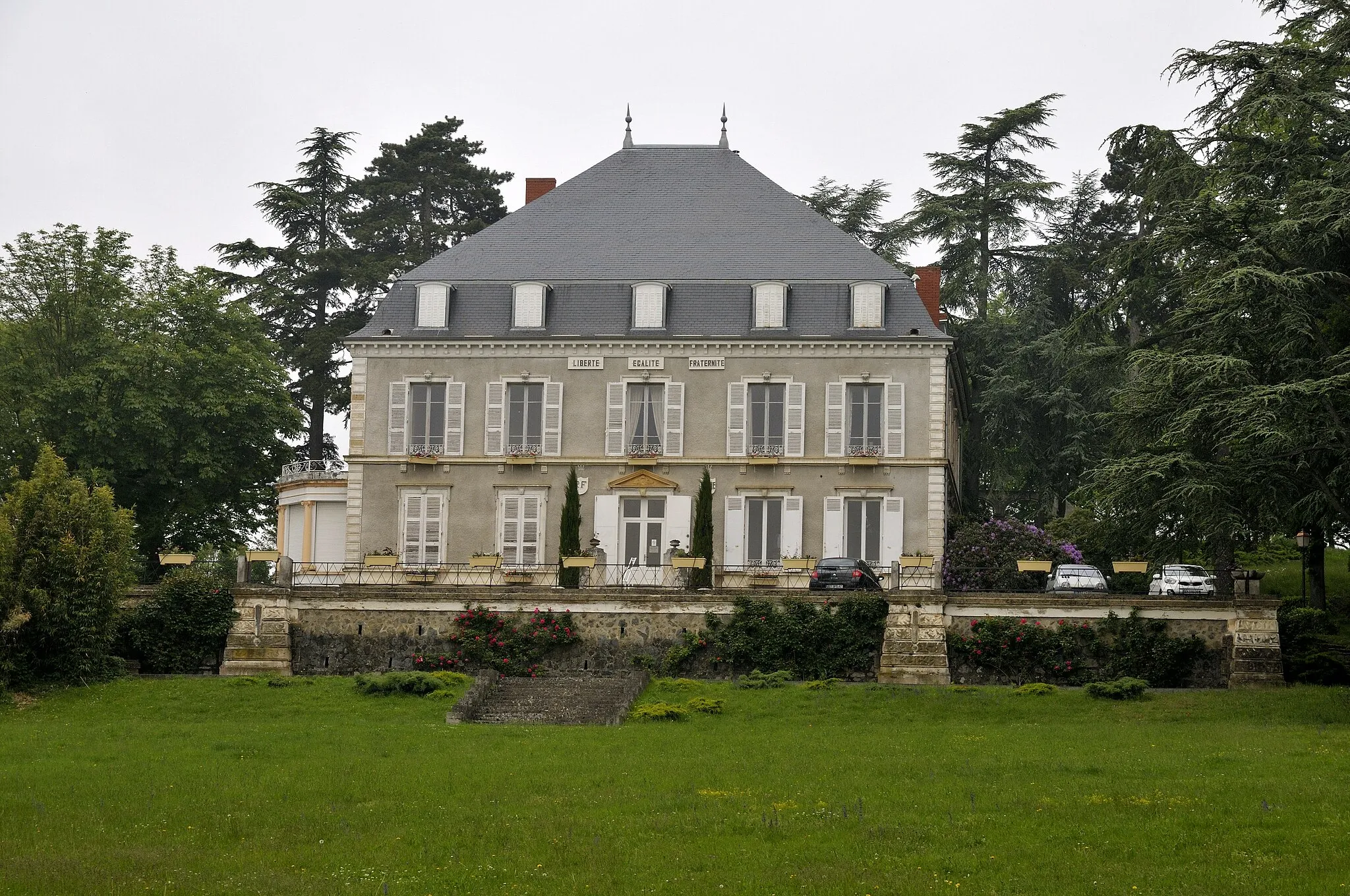
Saint-Symphorien-sur-Coise is a charming town situated in the Rhône-Alpes region of France. The locality offers a range of cycling opportunities, from leisurely rides through picturesque countryside to challenging climbs in the nearby mountains. Cyclists can explore beautiful routes that pass through vineyards, forests, and historic villages. Nearby, cyclists can tackle the iconic Montée de Saint-Symphorien, a famous climb featured in several cycling races. With its scenic landscapes and cycling-friendly environment, Saint-Symphorien-sur-Coise is a fantastic destination for cyclists of all levels.
Conquer the high mountains and picturesque routes of Saint-Symphorien-sur-Coise on this challenging road cycling route.
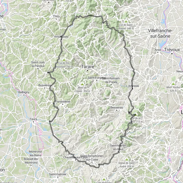
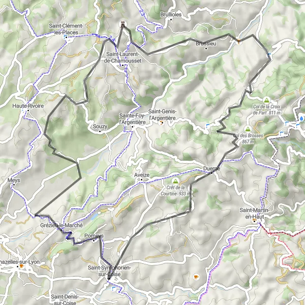
Prepare yourself for an unforgettable road cycling experience on this 163km journey through the stunning landscapes of Saint-Symphorien-sur-Coise. With an ascent of 3084m, this route will test even the most experienced cyclists. Highlights of the route include Maringes, Cottance, Saint-Cyr-de-Valorges, Cublize, Grandris, Col du Joncin, Chautard, Chessy, Saint-Pierre-la-Palud, Marmottes, Point de vue Rochefort, Saint-Martin-en-Haut, and Larajasse. Immerse yourself in the beauty of the Rhône-Alpes region as you conquer challenging climbs and enjoy breathtaking views. With a difficulty rating of 5 and an epicness rating of 4, this route is a truly epic cycling adventure.
Embark on an off-road adventure through the gravel trails and paths near Saint-Symphorien-sur-Coise.
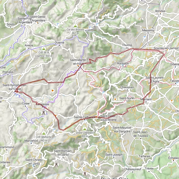
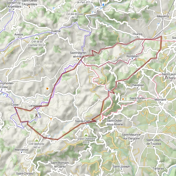
For those seeking a more adventurous cycling experience, this gravel route is the perfect choice. With a distance of 55km and an ascent of 1298m, this route offers a moderate challenge for gravel enthusiasts. Highlights of the route include Saint-Martin-en-Haut, Point de vue Rochefort, Soucieu-en-Jarrest, Mornant, and Table d'orientation. Conclude your journey in Saint-Symphorien-sur-Coise, where you can savor the tranquility of the local countryside and explore the town's historical charm. With a difficulty rating of 3 and an epicness rating of 4, this gravel adventure guarantees a unique and thrilling experience.
Take a scenic ride through the stunning countryside of Saint-Symphorien-sur-Coise on this road cycling adventure.
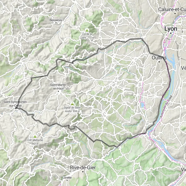
Embark on a picturesque road cycling route that showcases the natural beauty of Saint-Symphorien-sur-Coise. Covering a distance of 91km and with an ascent of 1283m, this route offers a moderate challenge for amateur cyclists. Highlights along the way include Col des Brosses, Yzeron, Francheville, Givors, and Saint-Maurice-sur-Dargoire. This route concludes in Saint-Symphorien-sur-Coise, where you can explore the charming streets and appreciate the town's rich history. With a difficulty rating of 3 and an epicness rating of 4, this route is perfect for cyclists looking to immerse themselves in the natural beauty of Rhône-Alpes.
Explore the scenic landscapes of the Rhône-Alpes on this challenging gravel route.
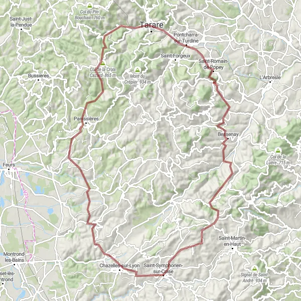
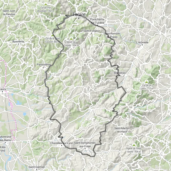
Embark on an exhilarating gravel adventure through the beautiful Rhône-Alpes region in France. Starting near Saint-Symphorien-sur-Coise, this route will take you through picturesque towns and villages, offering stunning views of the surrounding countryside. With a total ascent of 2,304 meters and a distance of 96 kilometers, this route is suitable for experienced gravel riders. Test your endurance as you traverse challenging climbs and enjoy thrilling descents. The highlights of this route include Maringes, Saint-Barthélemy-Lestra, and the iconic Col de la Croix Cazard. These unique spots along the route offer a chance to rest, refuel, and embrace the local culture.
Embark on an unforgettable road cycling tour featuring iconic climbs and breathtaking landscapes.
Get ready for an epic road cycling adventure in Rhône-Alpes that combines challenging climbs and breathtaking landscapes. This 111-kilometer tour, starting near Saint-Symphorien-sur-Coise, offers a total ascent of 2,278 meters. Test your endurance as you conquer legendary climbs, including Virigneux and Mont Boussuivre. Marvel at the picturesque landscapes of Essertines-en-Donzy and Saint-Romain-de-Popey. Experience the thrill of conquering the Col des Brosses, a favorite among professional cyclists. Reflect on the incredible journey as you pedal through Duerne and finally reach the finish line in Saint-Symphorien-sur-Coise.
Embark on an epic gravel journey through the spectacular mountainous landscapes of Rhône-Alpes.
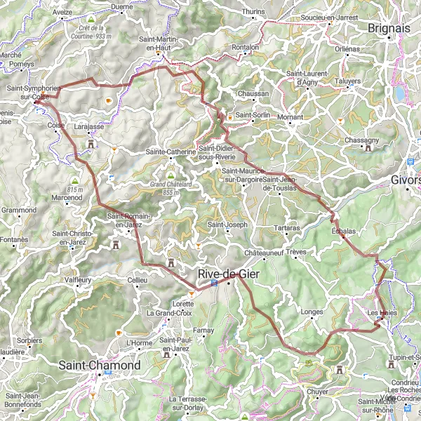
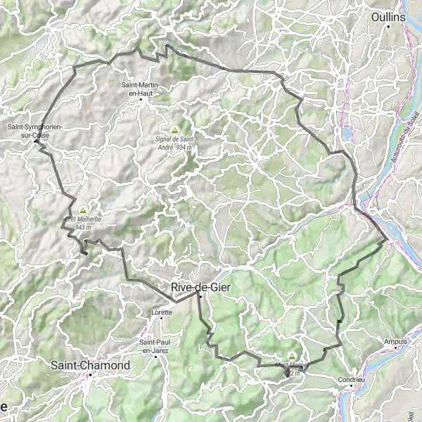
Prepare for an unforgettable gravel adventure through the magnificent mountainous landscapes of Rhône-Alpes. This 80-kilometer route, starting near Saint-Symphorien-sur-Coise, will challenge even the most experienced gravel riders with its 2,214 meters of ascent. Discover hidden gems along the way, including La Chapelle-sur-Coise, Signal de Saint-André, and the breathtaking Crêt de Chassenoud. As you ride through Rive-de-Gier, take in the stunning views of the surrounding valleys and feel the thrill of conquering difficult terrain. The ride concludes in Coise, where you can savor a well-deserved meal in one of its charming cafes.
Embark on an exciting gravel adventure through the diverse landscapes of the Rhône-Alpes.
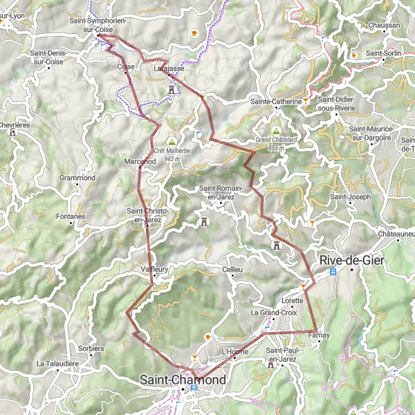
Experience the diverse landscapes of the Rhône-Alpes on this exhilarating gravel route. Starting near Saint-Symphorien-sur-Coise, this 57-kilometer ride offers a mix of scenic views and challenging terrains. With a total ascent of 1,476 meters, this route is recommended for experienced gravel riders. Highlights along the way include Larajasse, Petit Châtelard, and the stunning Crêt Saint-Georges. Take a break in Marcenod and enjoy a picnic amidst the serene surroundings. Coise, the final highlight on this route, will captivate you with its charming architecture and rich history.
Immerse yourself in the picturesque landscapes of Saint-Symphorien-sur-Coise on this road cycling tour.
Discover the beauty of the Saint-Symphorien-sur-Coise region on this scenic road cycling tour. With a total ascent of 1,193 meters and covering a distance of 60 kilometers, this route is well-suited for experienced cyclists. Indulge in the stunning sights as you pedal through charming towns and villages, including Pomeys and Les Halles. Visit the idyllic Saint-Laurent-de-Chamousset and take a moment to admire its historical architecture. As you conquer the majestic Col des Brosses, revel in its challenging slopes and breathtaking views. Conclude your journey in Saint-Symphorien-sur-Coise, where you can bask in the satisfaction of completing an exhilarating ride.
Explore the wild landscapes of Rhône-Alpes on this gravel route
Embark on a thrilling gravel adventure through the stunning landscapes of Rhône-Alpes. This 49 km route offers a mix of challenging ascents and breathtaking descents. Be prepared to tackle a total ascent of 1263 meters as you explore picturesque villages and enjoy panoramic views from viewpoints along the way. This route is perfect for experienced gravel enthusiasts seeking a true off-road experience in the heart of France.
Climb to the breathtaking heights of Crêt de la Courtine and Mont Monnet on this challenging road cycling route in Saint-Symphorien-sur-Coise.
Explore the picturesque countryside of Rhône-Alpes as you tackle the rolling hills and challenging ascents of this road cycling route. With a total distance of 110km and an ascent of 2090m, this journey will test even the most well-trained amateur cyclists. Experience the thrill of reaching the summits of Crêt de la Courtine and Mont Monnet and enjoy the stunning views they offer. This route also passes through various highlights, including Duerne, Soucieu-en-Jarrest, Givors, and Marcenod. With a difficulty rating of 4 and an epicness rating of 5, this route is not for the faint-hearted.
Cycling routes nearby:
Nearby regions: