Cycling paradise in Rhône-Alpes
Cycling routes from Saint-Martin-en-Haut
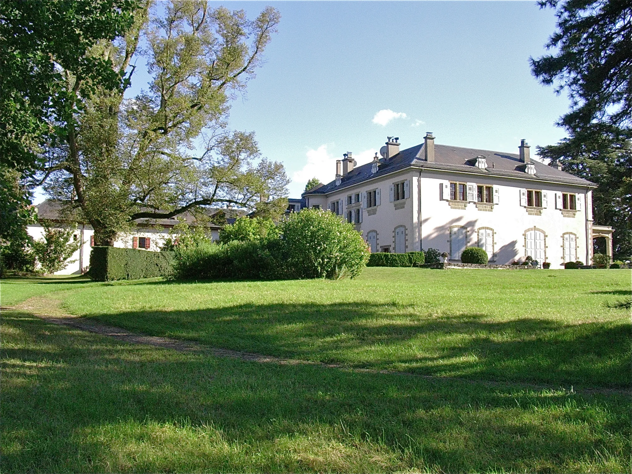
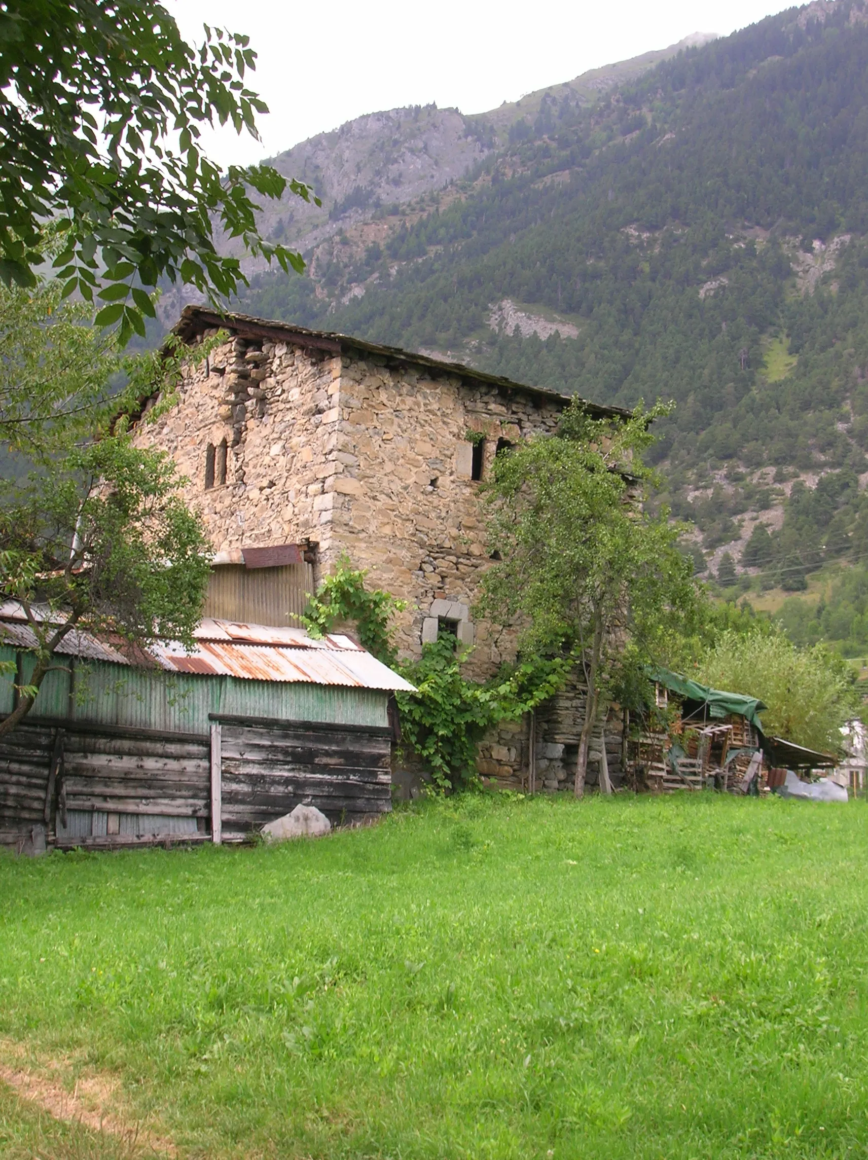
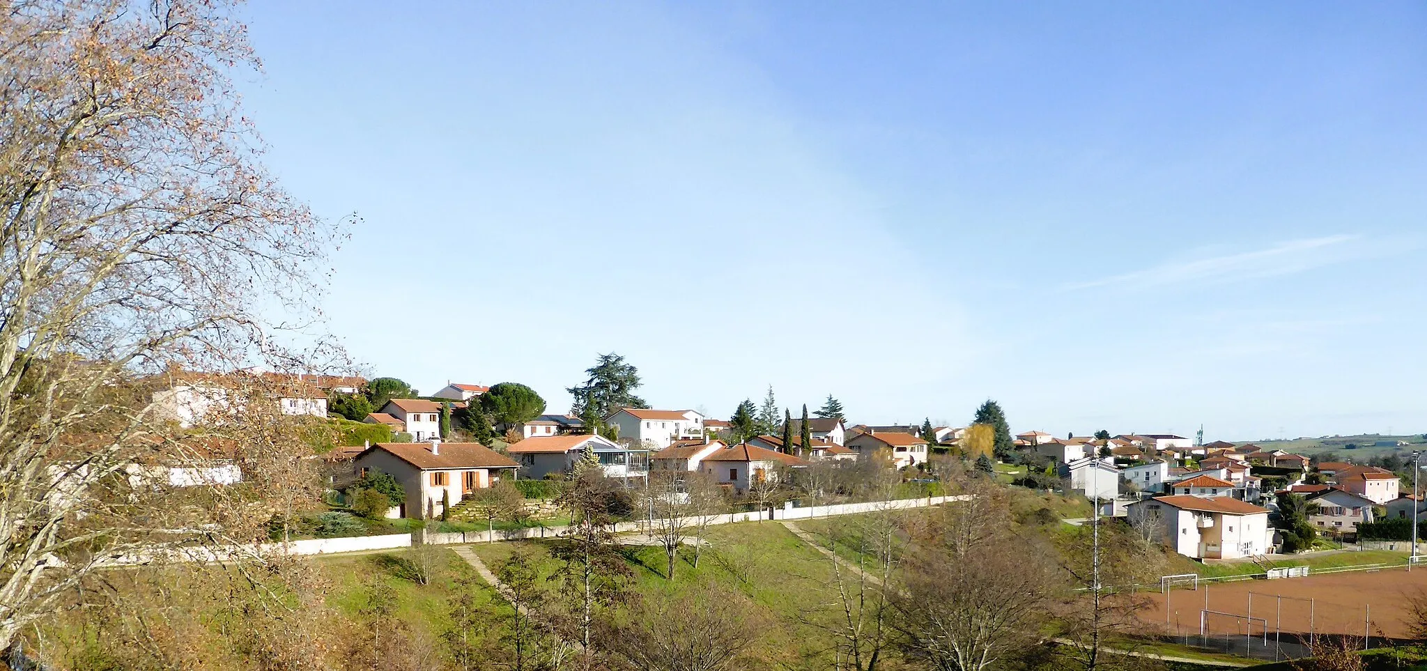
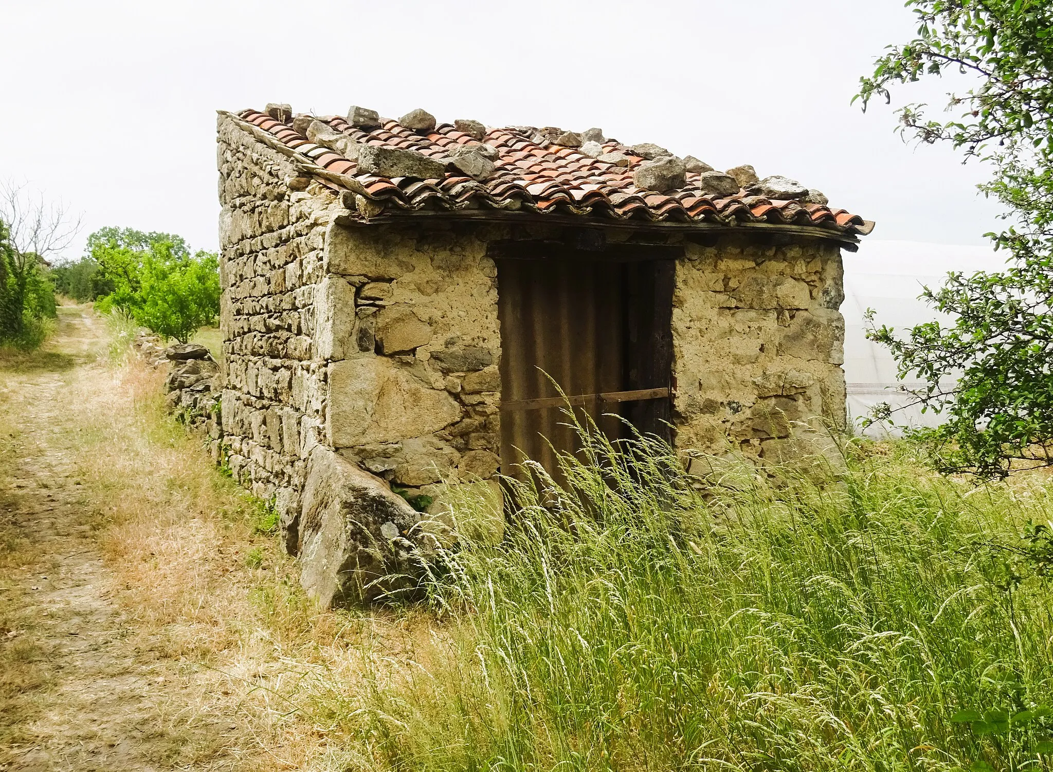
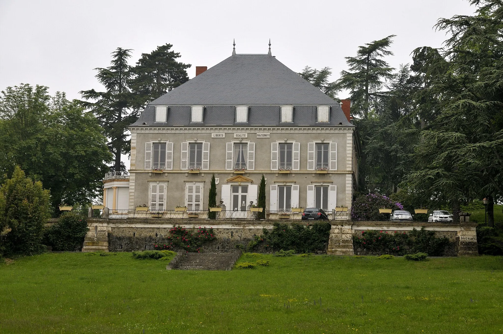
Saint-Martin-en-Haut, situated in the Rhône-Alpes region of France, offers a captivating cycling experience for road and gravel cyclists. The region showcases breathtaking mountain landscapes and beautiful countryside, perfect for cyclists craving scenic rides. Cyclists can tackle famous climbs like Col de la Croix de Fer and Alpe d'Huez, known for their challenging gradients and stunning views. With its dramatic scenery and legendary climbs, Saint-Martin-en-Haut is a dream destination for cyclists looking to push their limits and soak in the natural beauty.
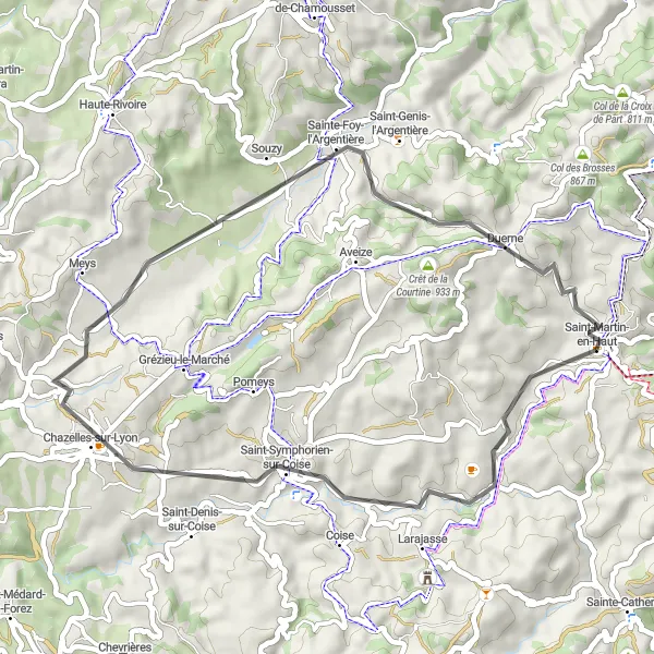
Saint-Symphorien-sur-Coise Loop
Discover historic landmarks and charming villages
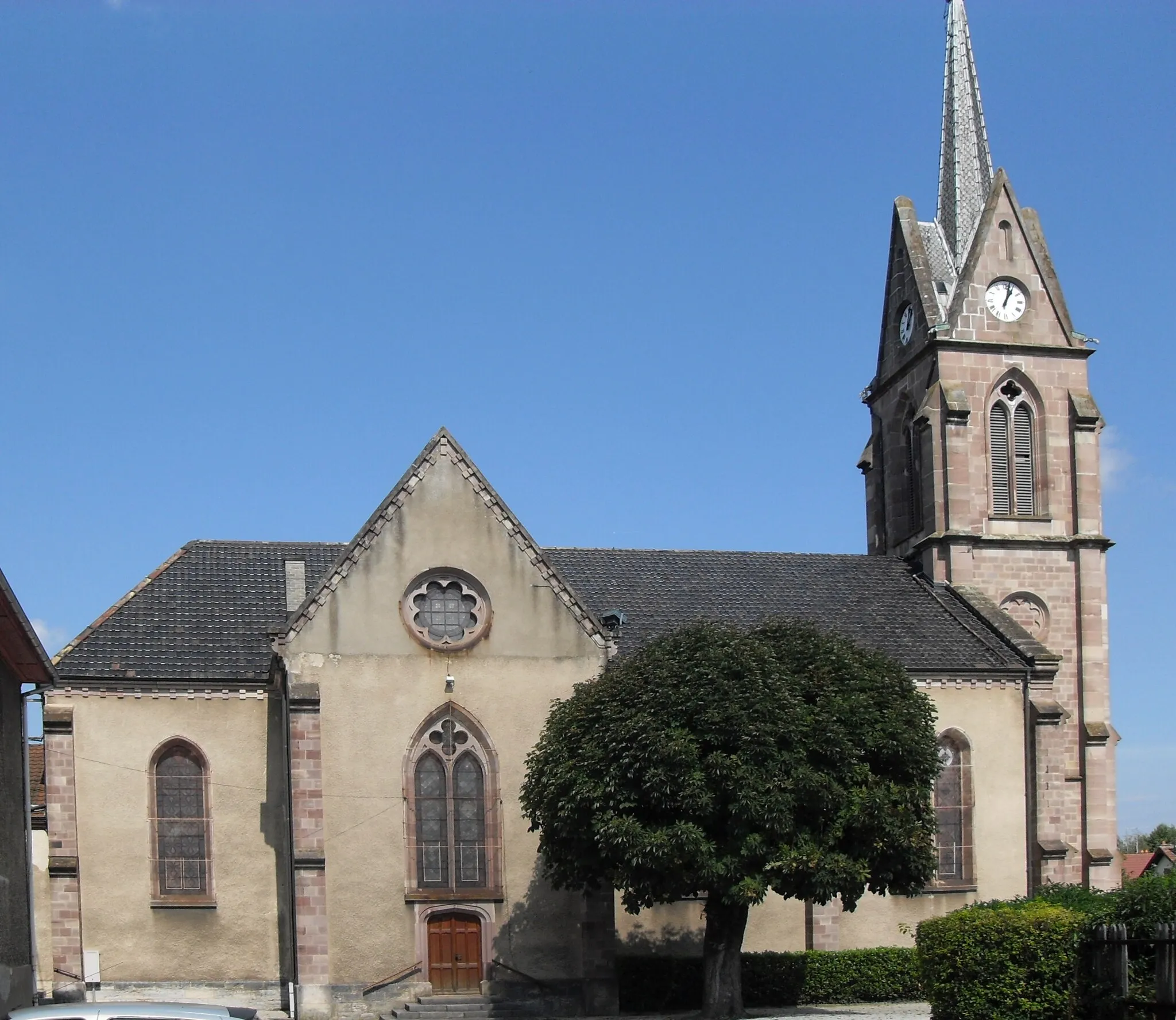
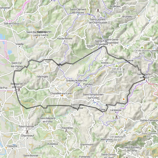
The Saint-Symphorien-sur-Coise Loop is a delightful 42-kilometer route that takes you through historic landmarks and charming villages. With a total ascent of 755 meters, this route offers a moderate challenge suitable for all skill levels. The difficulty level is rated at 2, making it accessible for novice cyclists as well. The epicness score of 3 highlights the route's cultural and natural attractions. Highlights along the way include Saint-Symphorien-sur-Coise, Sainte-Foy-l'Argentière, and Duerne. Saint-Symphorien-sur-Coise is a charming village with well-preserved medieval buildings and a historic church. Sainte-Foy-l'Argentière is known for its beautiful architecture and traditional marketplaces. Duerne is a tranquil village with peaceful surroundings and a laid-back atmosphere.
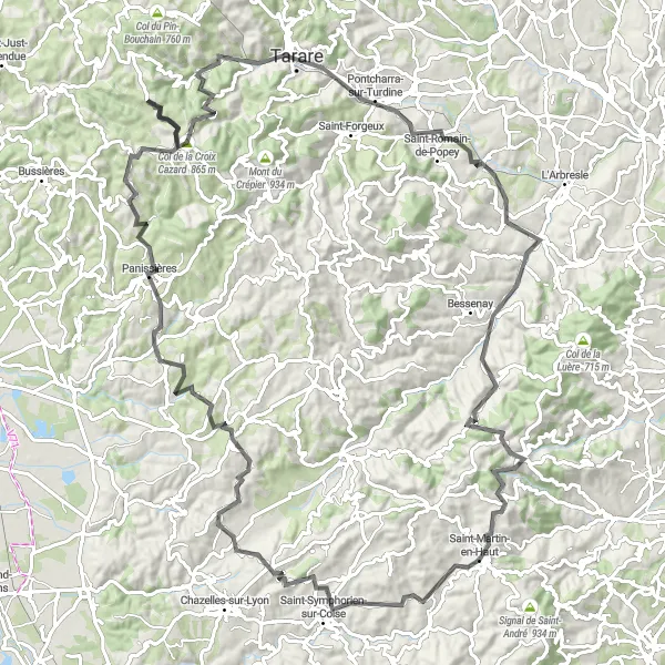
The Coise Valley Adventure
Conquer the Coise Valley and take in stunning views along the way
Experience the beautiful Coise Valley on this challenging road cycling route. With a total ascent of 2080m over a distance of 118km, you'll be treated to breathtaking scenery and picturesque villages. The route passes through Saint-Symphorien-sur-Coise, Meys, Essertines-en-Donzy, and Violay, each offering unique highlights and historic charm. Don't miss the Col de la Croix Cazard at 61km, known for its stunning panoramic views. Tarare and Savigny are also worth a stop, with their fascinating cultural heritage. The Saint-Martin-en-Haut round-trip cycling route is rated difficulty level 4, suitable for well-trained amateurs. It receives an epicness rating of 3, immersing you in the beauty of the Lyon countryside.
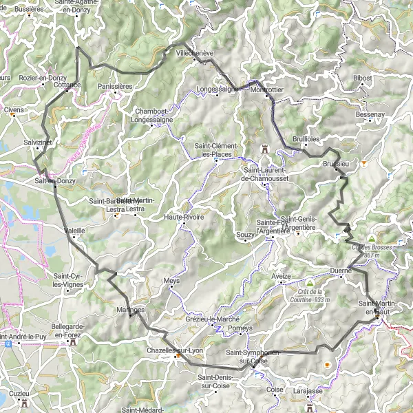
Explore ancient castles and rolling hills
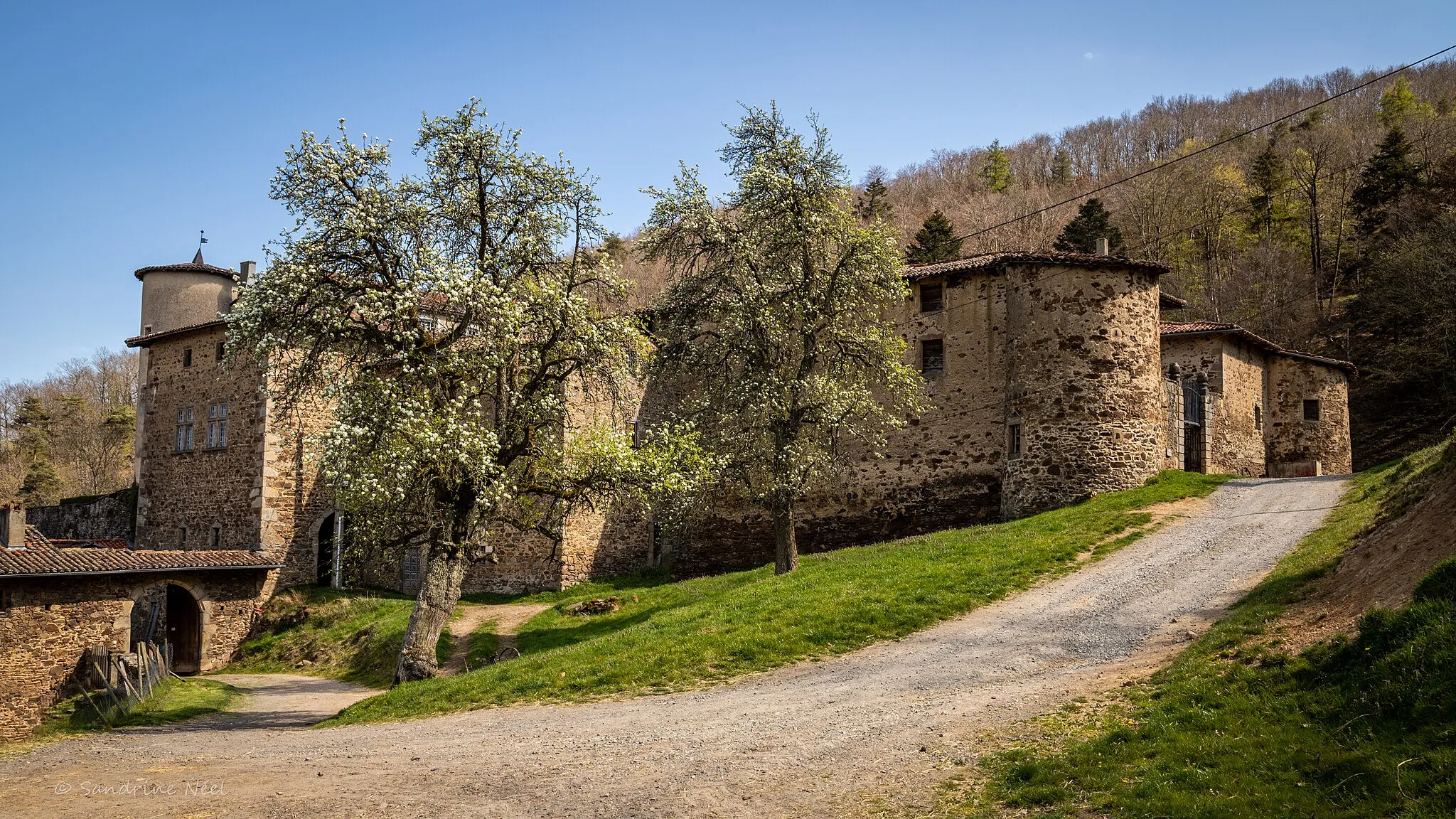
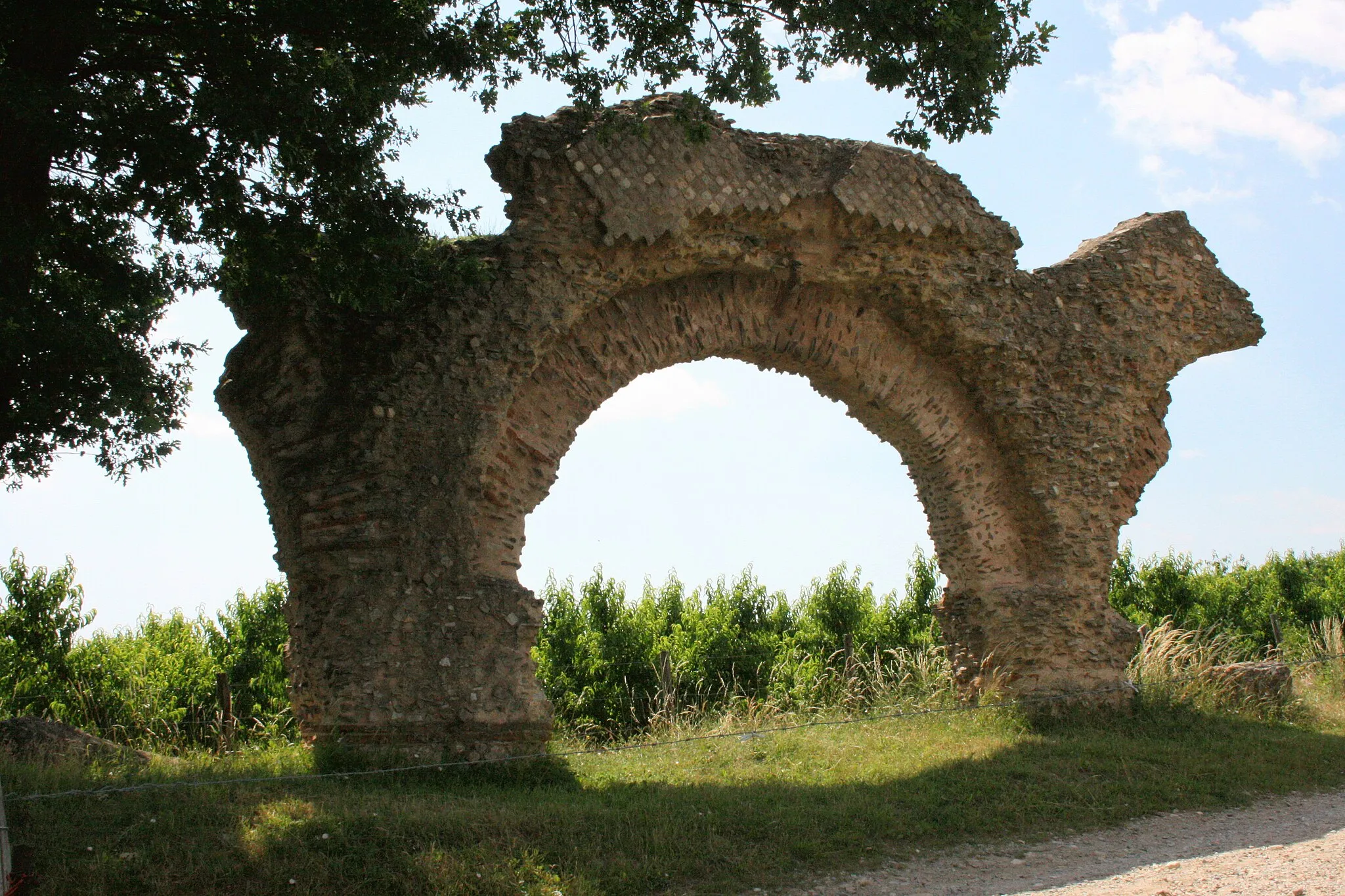
The Chazelles-sur-Lyon to Montrottier Loop is a scenic route that takes you through ancient castles and picturesque rolling hills. This 93-kilometer ride has a total ascent of 1794 meters, making it a challenging adventure for experienced cyclists. With a difficulty rating of 5, this route is only recommended for seasoned riders. The epicness score of 4 highlights the route's historical significance and stunning landscapes. Highlights along the way include Chazelles-sur-Lyon, Salt-en-Donzy, Cottance, Montrottier, Montromant, and Col des Brosses. Chazelles-sur-Lyon is a beautiful town famous for its medieval castle and charming streets. Salt-en-Donzy is known for its historic salt mines and interesting geological formations. Cottance is a quaint village with picturesque brick houses and beautiful gardens. Montrottier is home to a majestic medieval castle that provides a glimpse into the region's rich history. Montromant offers stunning panoramic views of the surrounding countryside, while Col des Brosses is a challenging climb that rewards cyclists with breathtaking vistas.
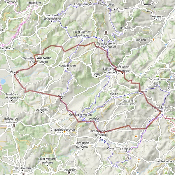
Explore the Lyon Mountains and revel in their natural beauty
Embark on an adventure through the Lyon Mountains on this captivating gravel cycling route. With a total ascent of 1536m over a distance of 60km, you'll be treated to breathtaking scenery, enchanting forests, and charming villages. Marvel at Saint-Symphorien-sur-Coise and Valeille, each with their own unique highlights. Stop in Saint-Clément-les-Places and Saint-Genis-l'Argentière to take in the stunning panoramic views of the surrounding landscape. Don't miss Le Crêt des Fées, known for its legends and mystical atmosphere. The Saint-Martin-en-Haut round-trip cycling route is rated difficulty level 3, suitable for experienced cyclists. It receives an epicness rating of 3, immersing you in the natural beauty of the Lyon Mountains.
Les Crêt des Fées Loop
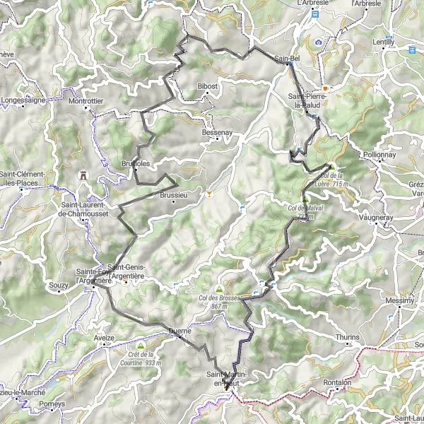
A scenic loop with breathtaking views
This route is a must-ride for cycling enthusiasts looking to experience sweeping landscapes and challenging climbs. With a total ascent of 1572 meters over a distance of 72 kilometers, the Les Crêt des Fées Loop offers a thrilling adventure through Rhône-Alpes. The difficulty level is rated at 4, making it suitable for well-trained amateurs. With its epicness score of 5, this route promises a legendary exploration of the region's natural beauty. Highlights along the route include Le Crêt des Fées, Sainte-Foy-l'Argentière, Brullioles, Sain-Bel, Marmottes, Yzeron, and Point de vue Rochefort. Le Crêt des Fées, perched at an elevation of 7 kilometers, offers a panoramic view that will leave you breathless.
Discover the beauty of Rhône-Alpes through this challenging cycling route
This round-trip cycling route starting near Saint-Martin-en-Haut in Rhône-Alpes is a must for every cycling enthusiast. With a distance of 138 kilometers and an ascent of 2665 meters, it promises breathtaking views and a truly memorable experience. The route takes you through picturesque villages and stunning landscapes, showcasing the natural beauty of the region.
Conquer the challenging climbs and enjoy the stunning views of the Loire region
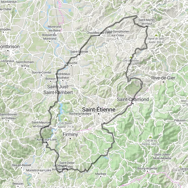
Experience the beauty of the Loire region on this challenging road cycling route. With a total ascent of 2860m over a distance of 159km, you'll ride through picturesque landscapes, charming villages, and scenic mountain roads. Enjoy the stunning views from Saint-Chamond and Crêt Saint-Georges, and don't miss the Belvédère du Guizay at 50km, offering breathtaking panoramic views of the Loire Valley. The route also passes through Saint-Didier-en-Velay, Aurec-sur-Loire, and Chazelles-sur-Lyon, each offering unique highlights and cultural heritage. The Saint-Martin-en-Haut round-trip cycling route is rated difficulty level 5, suitable only for well-trained amateurs. It receives an epicness rating of 4, providing an unforgettable experience through the captivating beauty of the Loire region.
Coise Exploration
Discover the charming town of Coise and the surrounding countryside
The Coise Exploration route is a delightful 63-kilometer cycling adventure that takes you through the scenic town of Coise and its surrounding countryside. With a total ascent of 1142 meters, this route offers a moderate challenge suitable for intermediate cyclists. The difficulty level is rated at 3, making it accessible for most riders. The epicness score of 3 indicates the route's pleasant scenery and cultural highlights. Highlights along the way include Coise, Bellegarde-en-Forez, Souzy, Le Crêt des Fées, and Duerne. Coise is a charming town known for its preserved medieval architecture and narrow streets. Bellegarde-en-Forez is famous for its medieval castle and well-preserved defensive walls. Souzy offers picturesque views of rolling hills and vineyards. Le Crêt des Fées, located at an elevation of 56 kilometers, provides stunning panoramic views of the region. Duerne is a peaceful village surrounded by lush forests and peaceful streams.
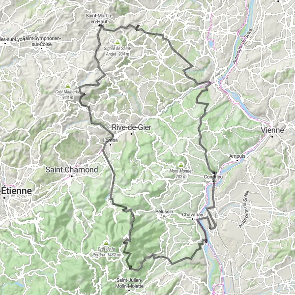
Embark on a journey through the magnificent Forez region
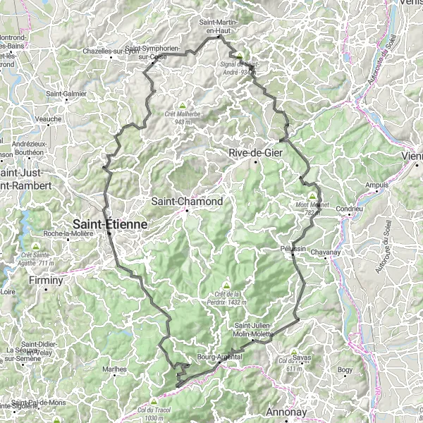
Experience the diversity of the Forez region on this challenging road cycling route. With a total ascent of 2789m over a distance of 154km, you'll ride through lush forests, picturesque villages, and scenic mountain landscapes. The route takes you through Saint-André-la-Côte, Dargoire, Longes, and Crêt de Chassenoud, each offering unique highlights and cultural landmarks. Prepare to be amazed by the breathtaking views from Signal de Saint-André and Crêt du Bouchat. Be sure to take a break in Saint-Andéol-le-Château with its charming medieval streets and historic church. The Saint-Martin-en-Haut round-trip cycling route is rated difficulty level 5, suitable only for well-trained amateurs. It receives an epicness rating of 4, taking you on a journey through the heart of the Forez region.
Experience the thrill of gravel cycling through diverse landscapes
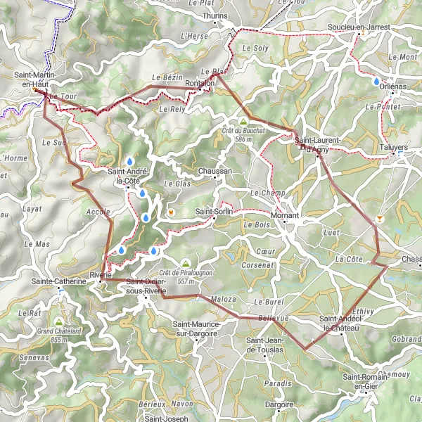
Embark on a thrilling gravel cycling adventure through diverse landscapes on this 40km route. With a total ascent of 922m, you'll ride through Rontalon, Crêt du Bouchat, Saint-Andéol-le-Château, and Riverie. Each stop along the way offers a unique experience, from the panoramic views at Rontalon to the medieval charm of Saint-Andéol-le-Château. Don't miss the Table d'orientation, where you can enjoy sweeping views of the surrounding countryside, or the picturesque village of Riverie with its well-preserved medieval center. The Saint-Martin-en-Haut round-trip cycling route is rated difficulty level 2 and is suitable for all skill levels. It receives an epicness rating of 2, taking you off the beaten path and immersing you in the natural beauty of the Rhône-Alpes region.
Cycling routes nearby:
Nearby regions: