The Hills of South-Western Rhône-Alpes
A road cycling route starting from Saint-Symphorien-sur-Coise
Climb to the breathtaking heights of Crêt de la Courtine and Mont Monnet on this challenging road cycling route in Saint-Symphorien-sur-Coise.
Map
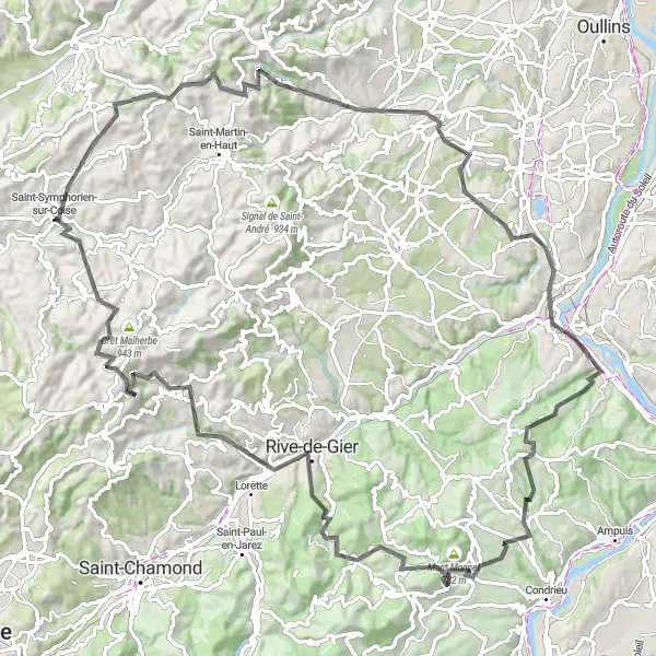
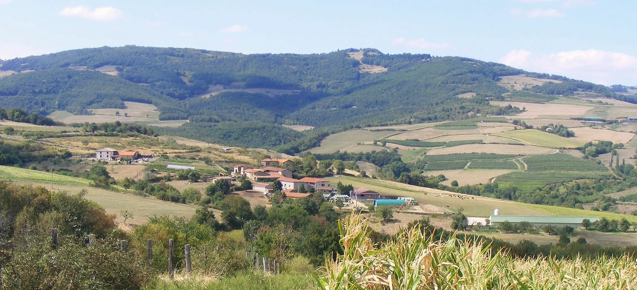
Explore the picturesque countryside of Rhône-Alpes as you tackle the rolling hills and challenging ascents of this road cycling route. With a total distance of 110km and an ascent of 2090m, this journey will test even the most well-trained amateur cyclists. Experience the thrill of reaching the summits of Crêt de la Courtine and Mont Monnet and enjoy the stunning views they offer. This route also passes through various highlights, including Duerne, Soucieu-en-Jarrest, Givors, and Marcenod. With a difficulty rating of 4 and an epicness rating of 5, this route is not for the faint-hearted.
road
110 km
2090 m
Tough
Route profile
Highlights on the route
0 km
0 km
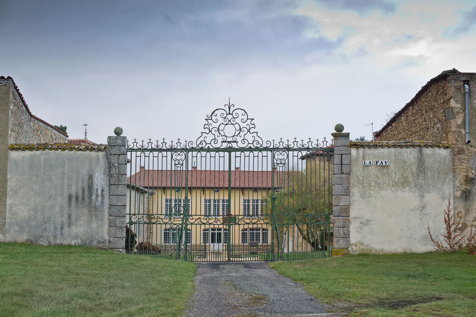
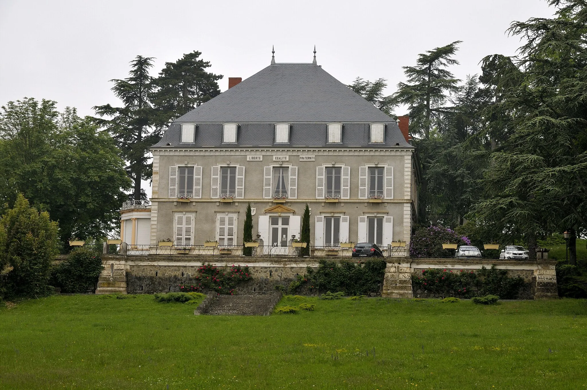
Start: Saint-Symphorien-sur-Coise Village centerSaint-Symphorien-sur-Coise: Cycling Paradise in the Rhône-Alpes
Saint-Symphorien-sur-Coise is a charming town situated in the Rhône-Alpes region of France. The locality offers a range of cycling opportunities, from leisurely rides through picturesque countryside to challenging climbs in the nearby mountains. Cyclists can explore beautiful routes that pass through vineyards, forests, and historic villages. Nearby, cyclists can tackle the iconic Montée de Saint-Symphorien, a famous climb featured in several cycling races. With its scenic landscapes and cycling-friendly environment, Saint-Symphorien-sur-Coise is a fantastic destination for cyclists of all levels.8 km
8 km
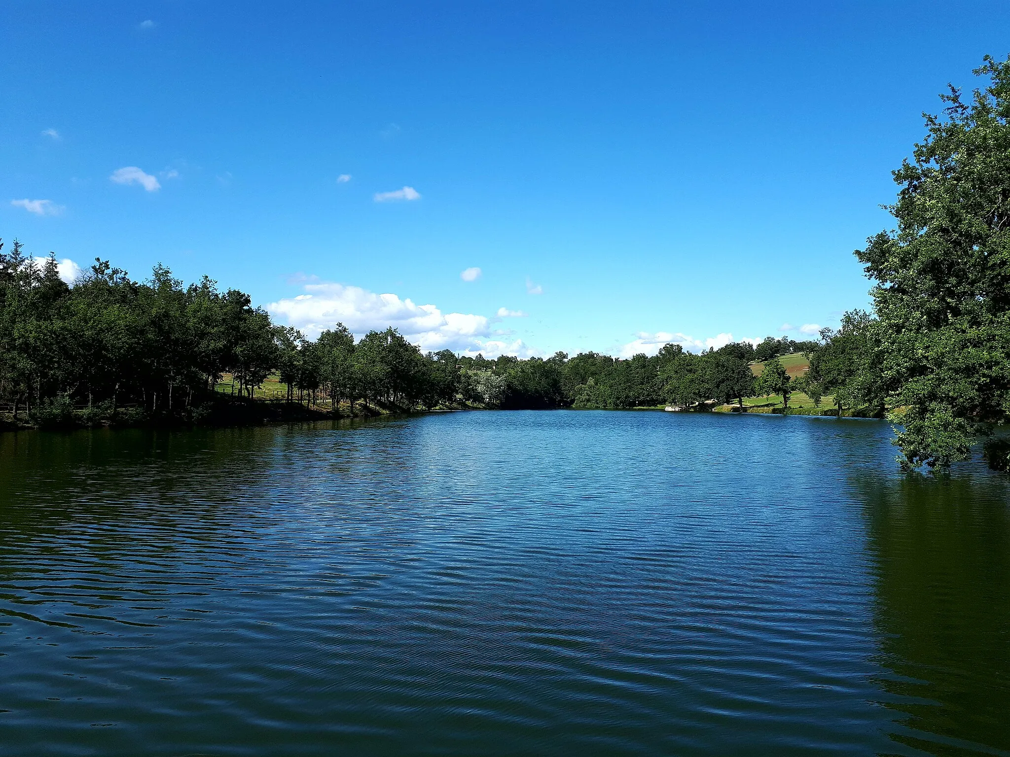
Crêt de la Courtine933 mPeakLocated at the 8km mark, Crêt de la Courtine offers panoramic views of the surrounding countryside.
10 km
10 km
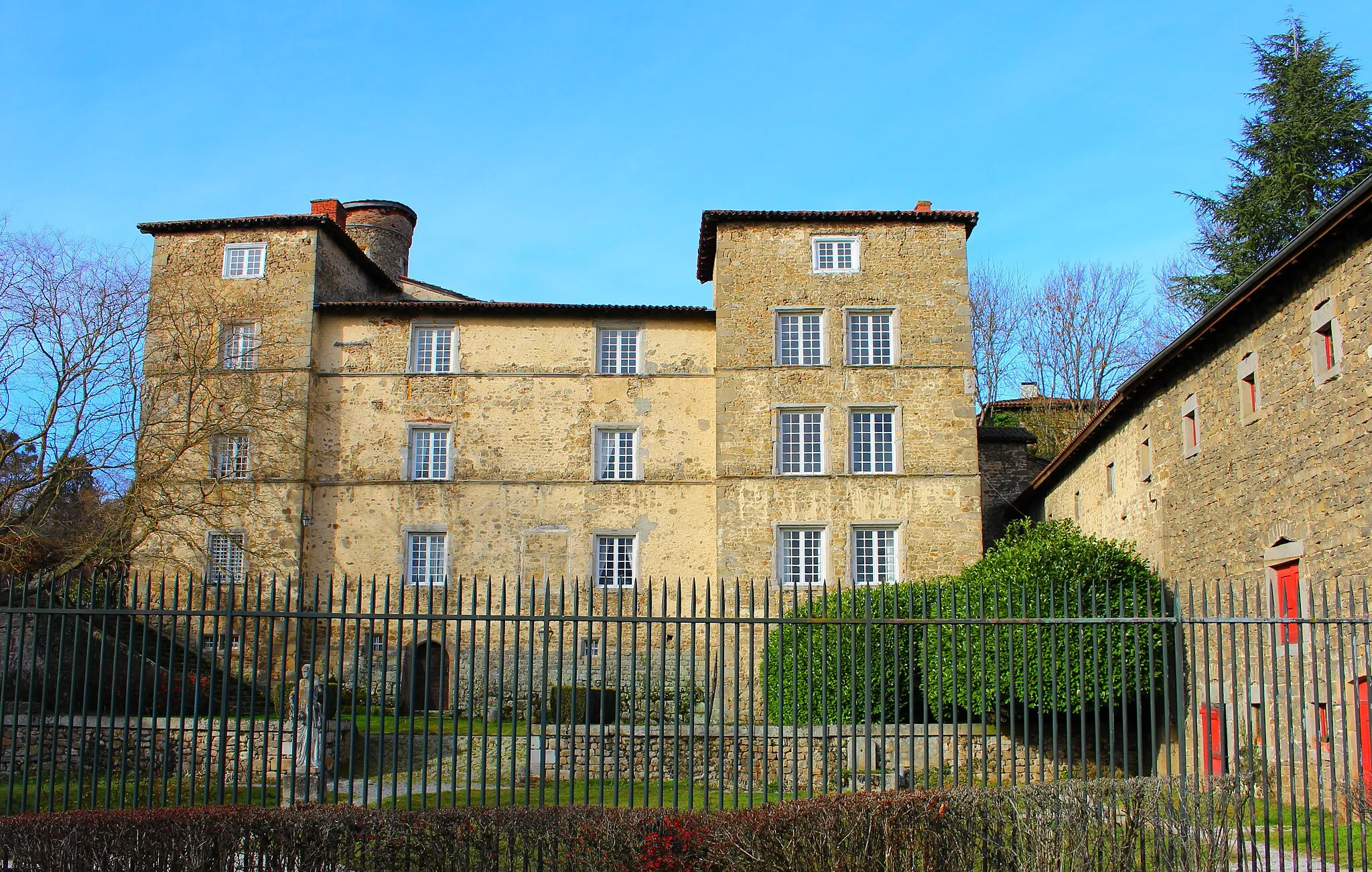
DuerneVillageAt the 10km mark, Duerne is a charming village with picturesque streets and historical buildings.
27 km
27 km
Soucieu-en-JarrestVillageSoucieu-en-Jarrest, at the 27km mark, is known for its beautiful medieval castle and well-preserved architecture.
42 km
42 km
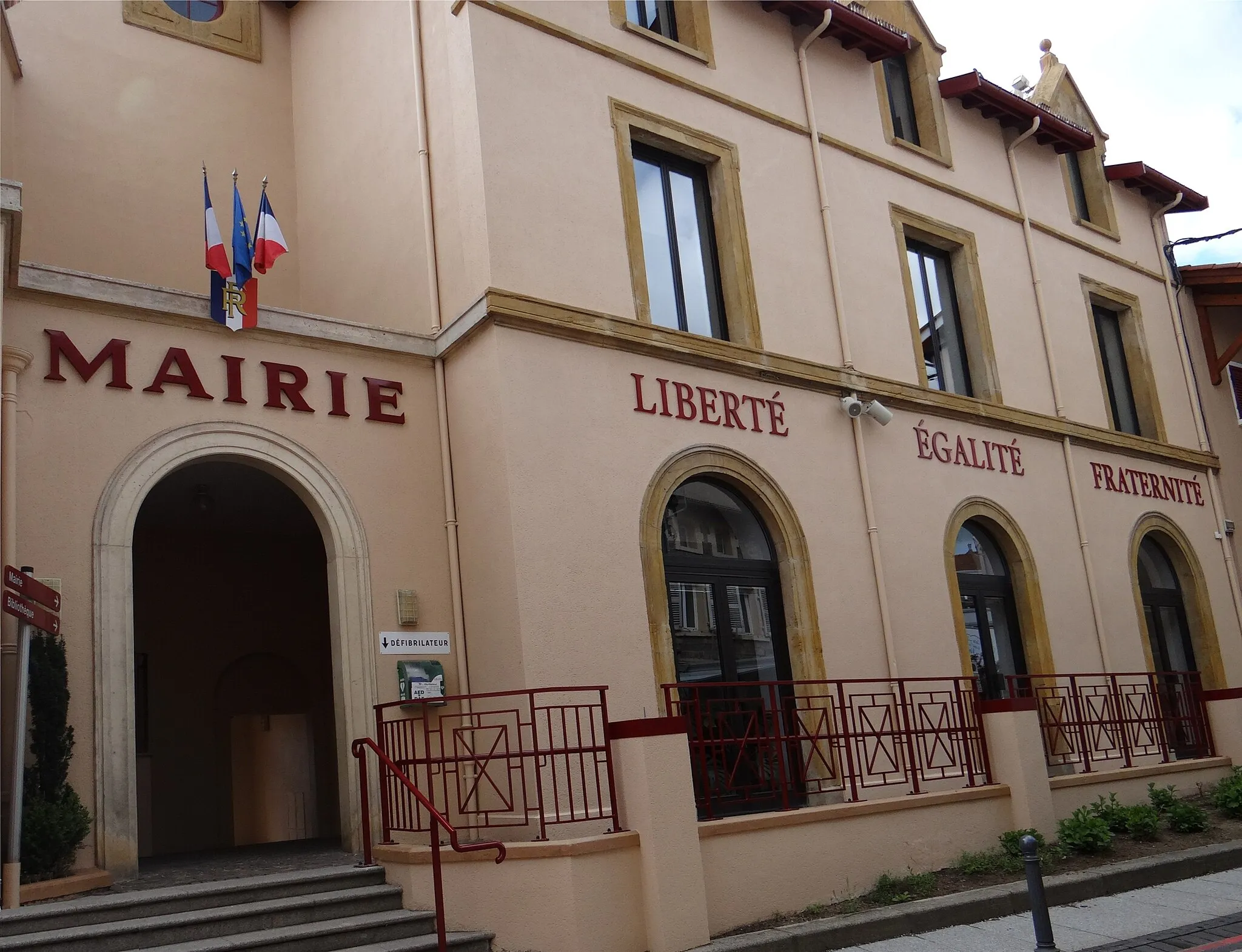
GivorsTownGivors, at the 42km mark, is a vibrant town with a rich industrial history and stunning views of the Rhône River.
63 km
63 km
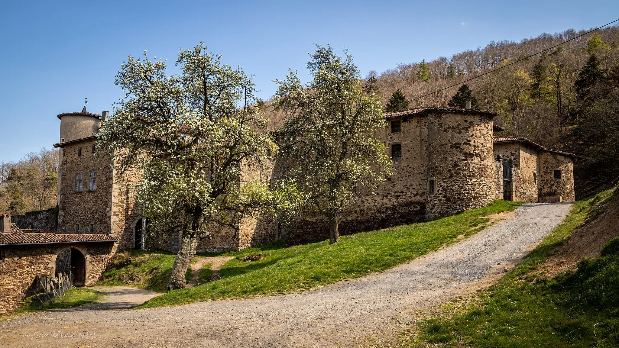
La Chapelle-VillarsVillageLa Chapelle-Villars, at the 63km mark, is home to the impressive Château de Masselis and offers scenic views of the surrounding countryside.
64 km
64 km
Mont Monnet782 mPeakPass by Mont Monnet at the 64km mark, a popular spot for panoramic views and a challenging climb.
81 km
81 km
Rive-de-GierTownRive-de-Gier, at the 81km mark, is known for its industrial past and the Roman aqueduct of Rzemien.
100 km
100 km
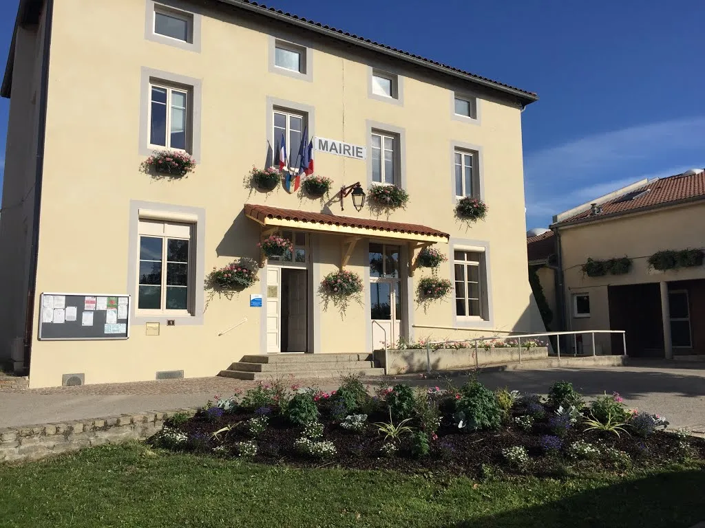
MarcenodVillageMarcenod, at the 100km mark, is a charming village with traditional houses and lush greenery.
110 km
110 km
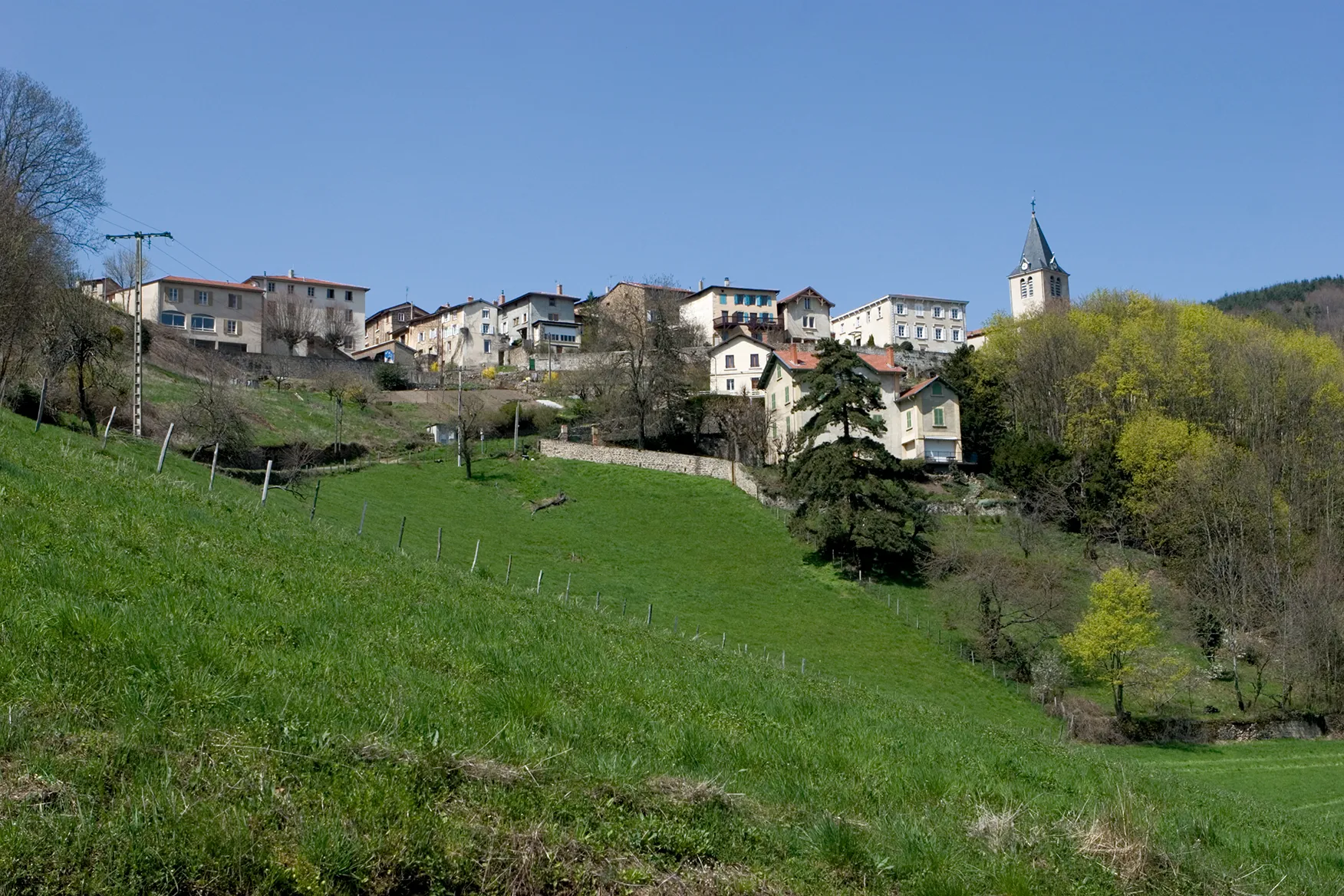
Saint-Symphorien-sur-CoiseVillageFinish your journey in Saint-Symphorien-sur-Coise, a historical town with a beautiful church and vibrant local community.
110 km
110 km
Finish: Saint-Symphorien-sur-Coise Village centerSaint-Symphorien-sur-Coise: Cycling Paradise in the Rhône-Alpes
Cycling routes from Saint-Symphorien-sur-Coise:
Iconic Road Cycling Tour in Rhône-Alpes Scenic Road Cycling Tour near Saint-Symphorien-sur-Coise Scenic Routes of Saint-Symphorien-sur-Coise Gravel Adventures near Saint-Symphorien-sur-Coise Gravel Exploration in the Rhône-Alpes The Hills of South-Western Rhône-Alpes The Ultimate Road Cycling Challenge Mountainous Gravel Adventure in Rhône-Alpes The Gravel Adventure Gravel Adventure in the Loire Region
Cycling routes nearby: