Bourg-Saint-Maurice - Tête de l'Âne - Pont Serrand - Courmayeur - La Thuile - Colle di Fourclaz - Le Roc Noir - Bourg-Saint-Maurice
A gravel cycling route starting from Bourg-Saint-Maurice
A thrilling gravel cycling route with stunning alpine landscapes and cultural highlights.
Map

Embark on a thrilling gravel cycling adventure from Bourg-Saint-Maurice and find yourself conquering Tête de l'Âne, a challenging climb with breathtaking mountain panoramas. As you descend, make sure to stop at Pont Serrand and take in the peaceful riverside atmosphere. Continue to Courmayeur, a charming Italian town with rich cultural heritage. Explore La Thuile, an alpine village renowned for its natural beauty, before tackling Colle di Fourclaz, an adventurous gravel climb. Admire the sweeping vistas from Le Roc Noir before descending back to Bourg-Saint-Maurice.
gravel
90 km
3947 m
Tough
Route profile
Highlights on the route
0 km
0 km
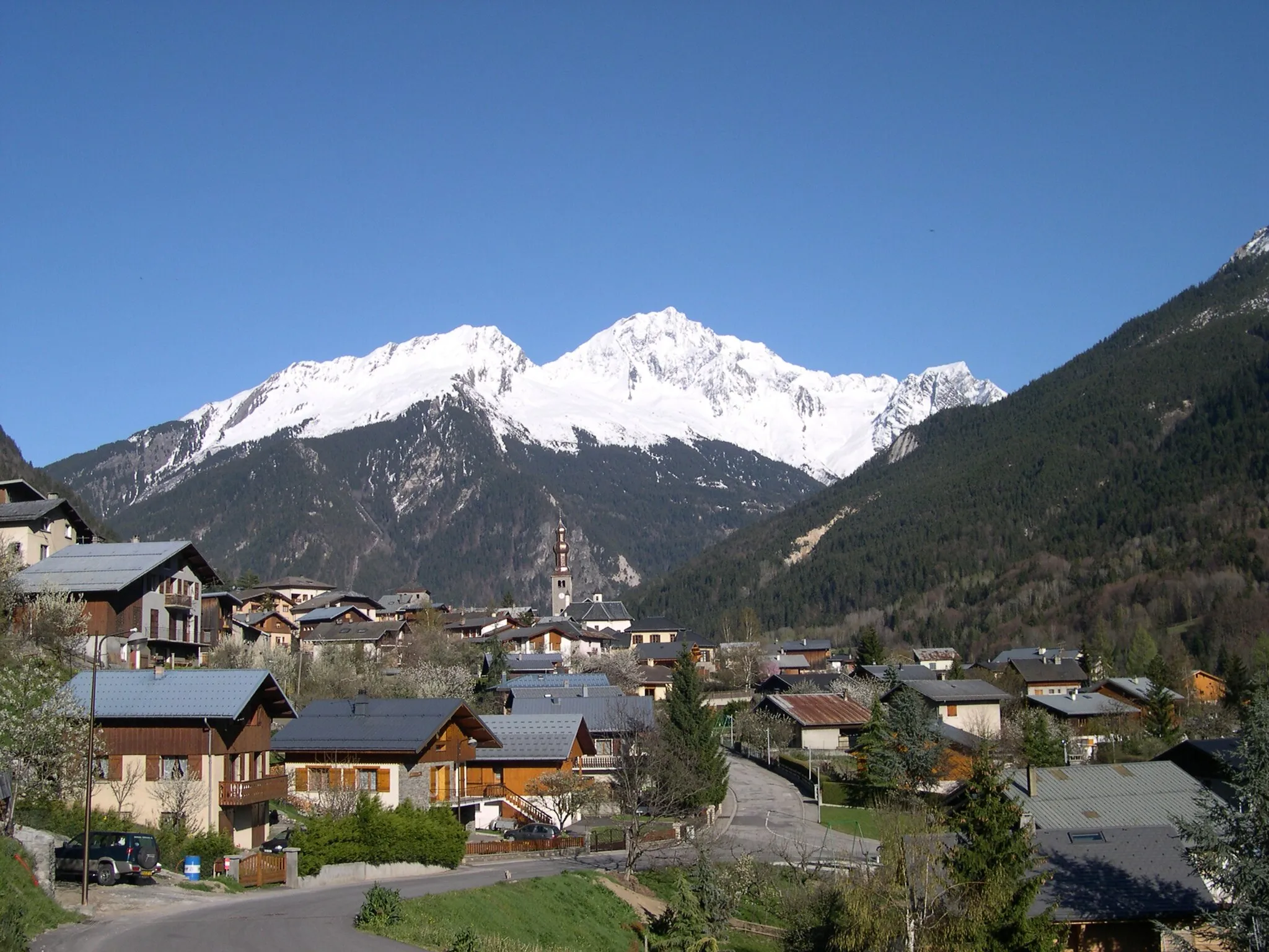
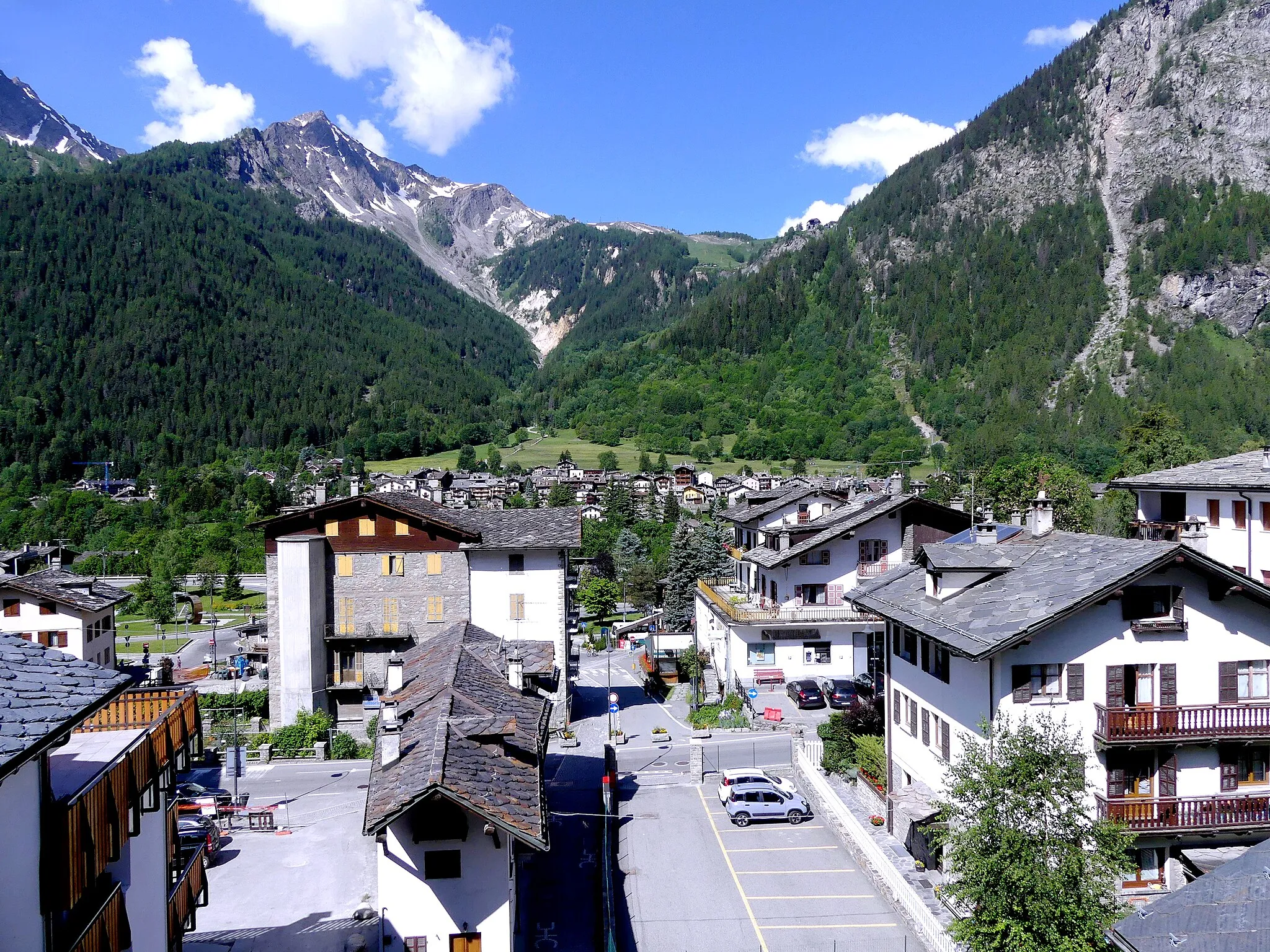
Start: Bourg-Saint-Maurice City centerBourg-Saint-Maurice: Gateway to the French Alps
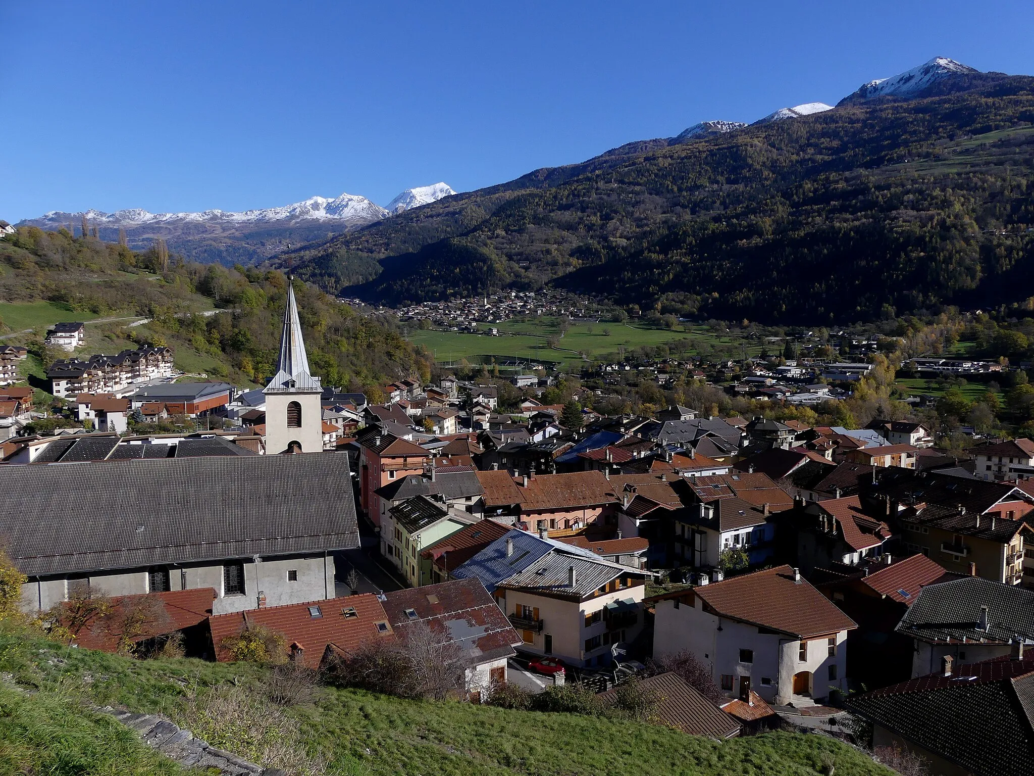
Bourg-Saint-Maurice is a town located in the Rhône-Alpes region of France. From a cyclist's perspective, the locality offers diverse cycling opportunities, ranging from flattish valley roads to challenging mountain climbs. Cyclists in Bourg-Saint-Maurice can explore the iconic alpine routes and climbs nearby, including the Cormet de Roselend and Col du Petit Saint-Bernard. This town serves as an ideal base for cyclists seeking to conquer legendary climbs in the French Alps. Its picturesque surroundings, nestled amongst the mountains, make it a popular destination for road and gravel cycling enthusiasts.20 km
20 km
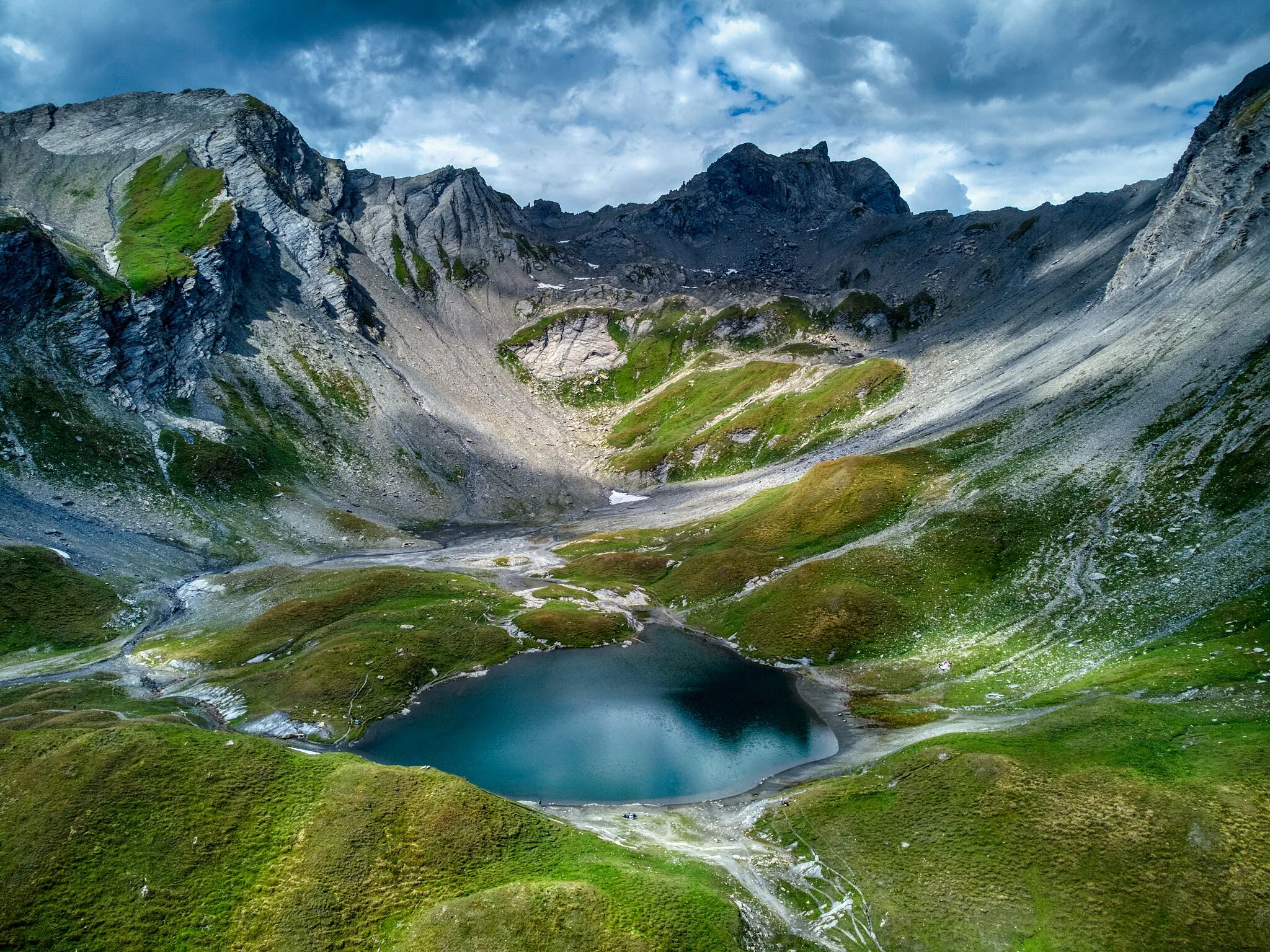
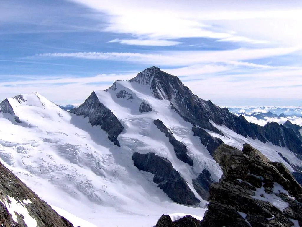
Tête de l'Âne2058 mPeakChallenge yourself on the steep and challenging climb up Tête de l'Âne, and enjoy panoramic views from the top.
25 km
25 km
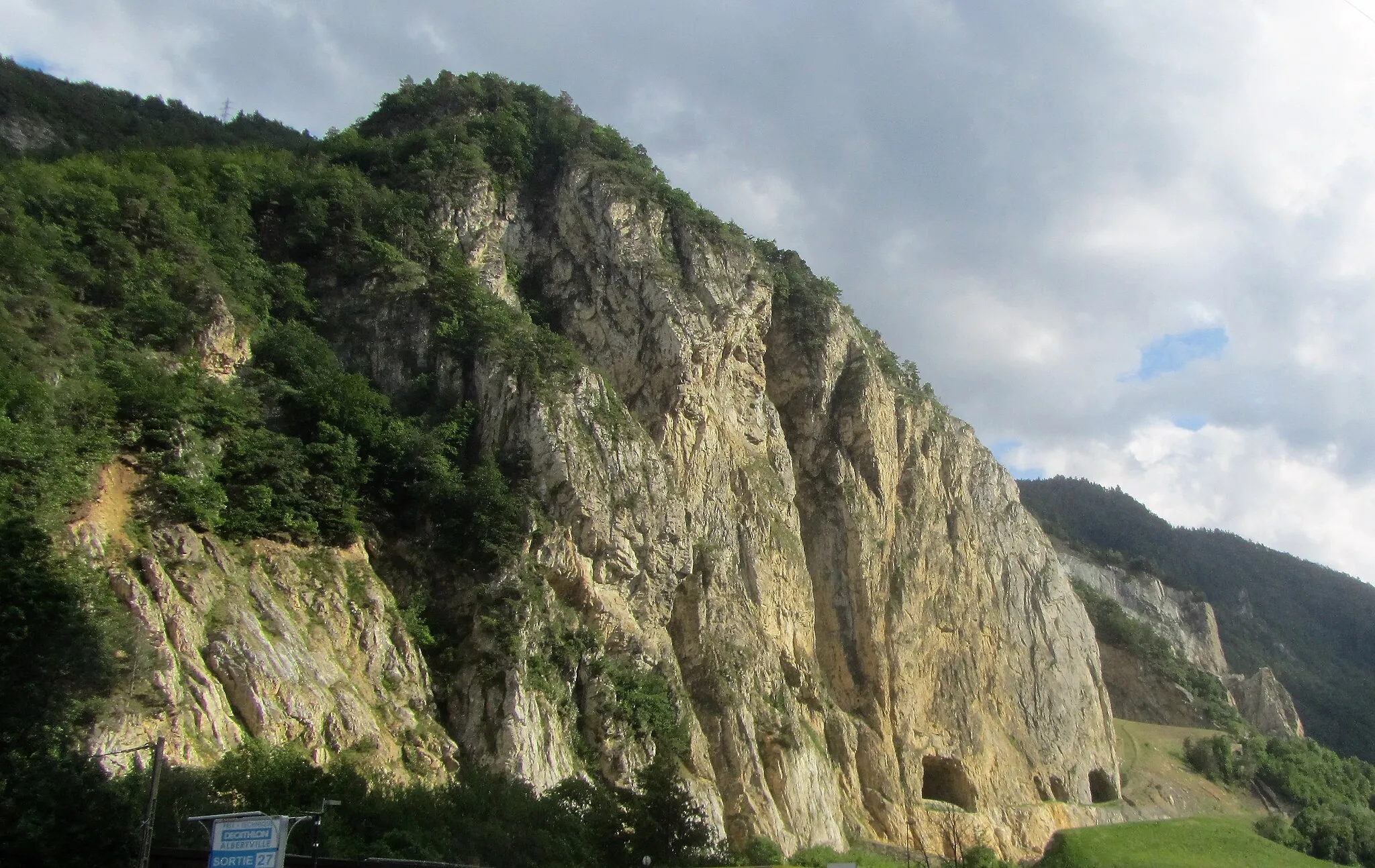
Pont SerrandHamletPause at Pont Serrand and take in the picturesque riverside scenery.
47 km
47 km
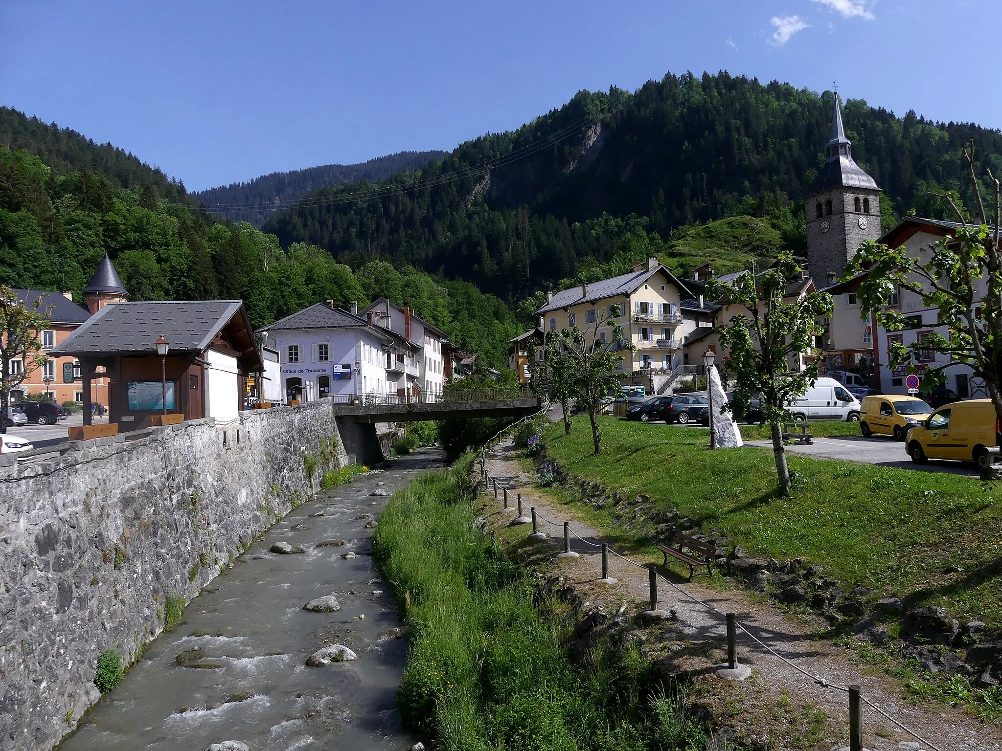
CourmayeurVillageExplore the cultural riches of Courmayeur, a charming Italian town with a rich heritage.
60 km
60 km
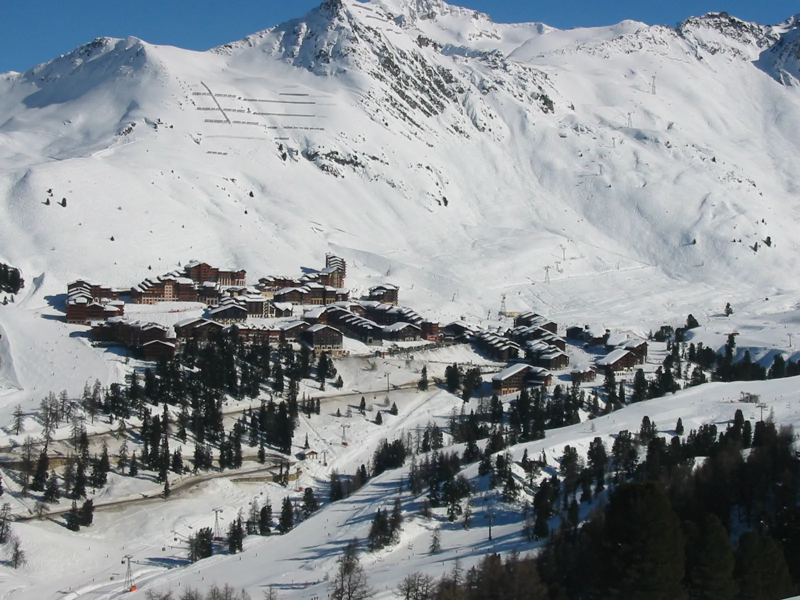
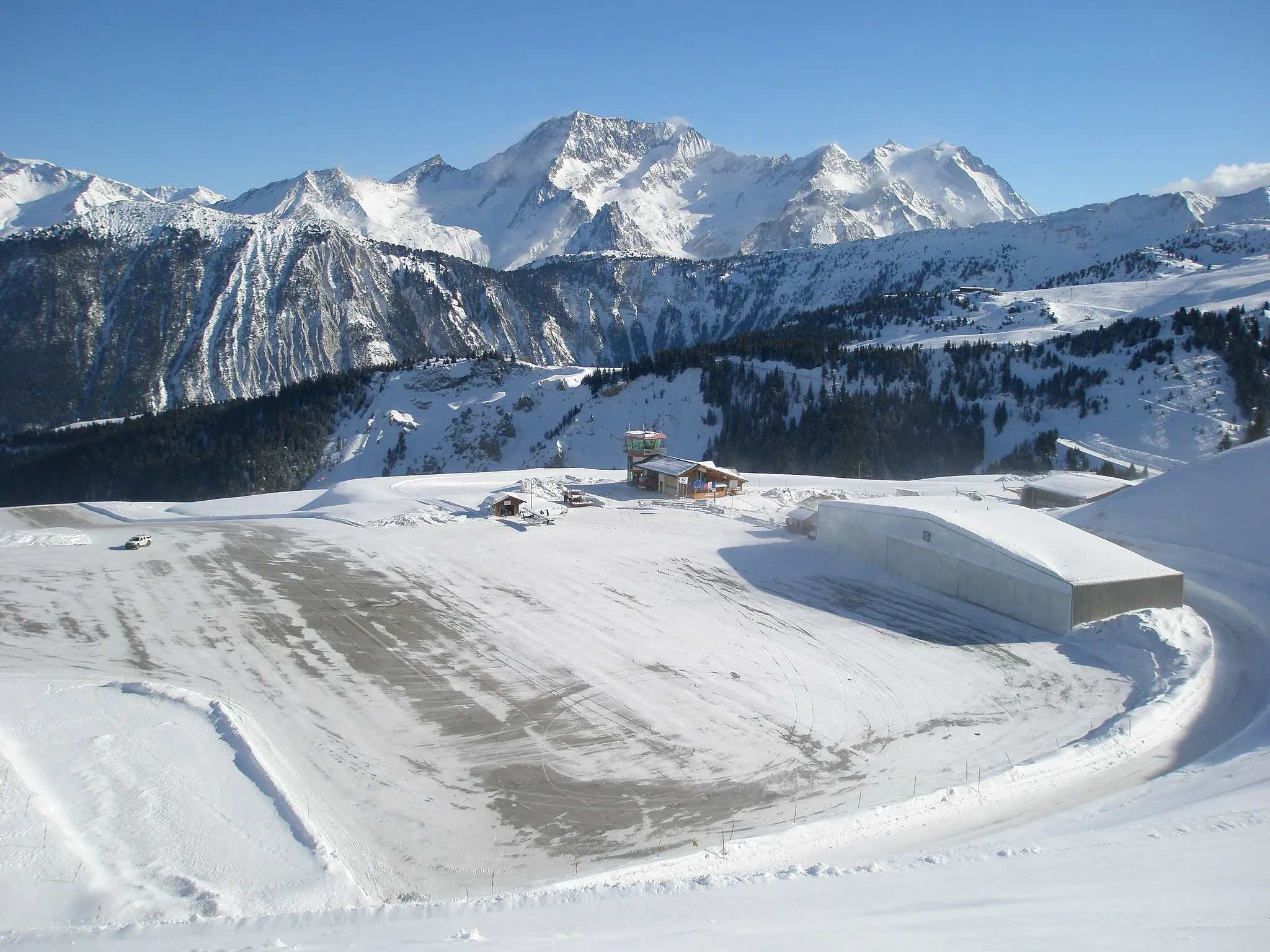
La ThuileVillageVisit the alpine village of La Thuile and take in its stunning natural surroundings.
71 km
71 km
Colle di Fourclaz2481 mMountain PassConquer the challenging Colle di Fourclaz and savor the satisfaction of reaching the summit.
79 km
79 km
Le Roc Noir2230 mPeakTake in the sweeping vistas from Le Roc Noir and appreciate the rugged beauty of the alpine landscape.
90 km
90 km
Bourg-Saint-MauriceTownStart and finish your adventure in the charming town of Bourg-Saint-Maurice.
90 km
90 km
Finish: Bourg-Saint-Maurice City centerBourg-Saint-Maurice: Gateway to the French Alps
Cycling routes from Bourg-Saint-Maurice:
The Gravel Adventure Gravel Cycling Adventure in the Heart of Rhône-Alpes The Mountain Challenge Road Cycling Expedition in Rhône-Alpes' Majestic Backdrops The Hidden Gravel Gem The Plagne Loop Bourg-Saint-Maurice - Tête de l'Âne - Pont Serrand - Courmayeur - La Thuile - Colle di Fourclaz - Le Roc Noir - Bourg-Saint-Maurice The Grand Gondon Loop Bourg-Saint-Maurice - Séez - La Rosière - Col de la Traversette - La Thuile - Cromlech du Petit-Saint-Bernard - Col du Petit-Saint-Bernard - Villaroger - Bourg-Saint-Maurice
Cycling routes nearby: