Legendary cycling spot in the French Alps
Cycling routes from Courchevel
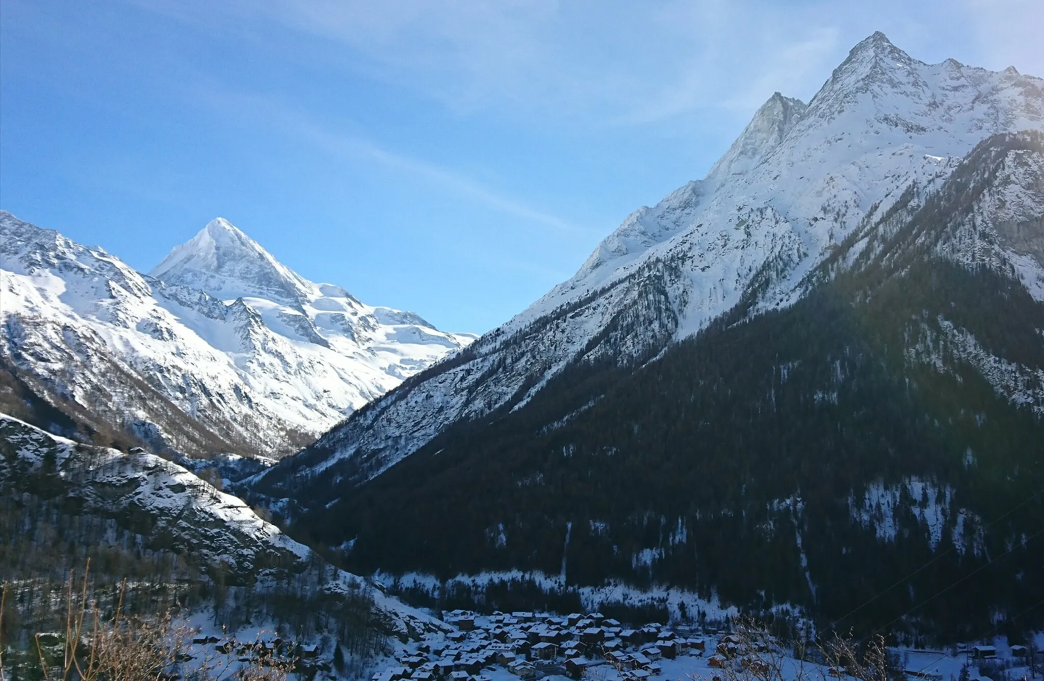
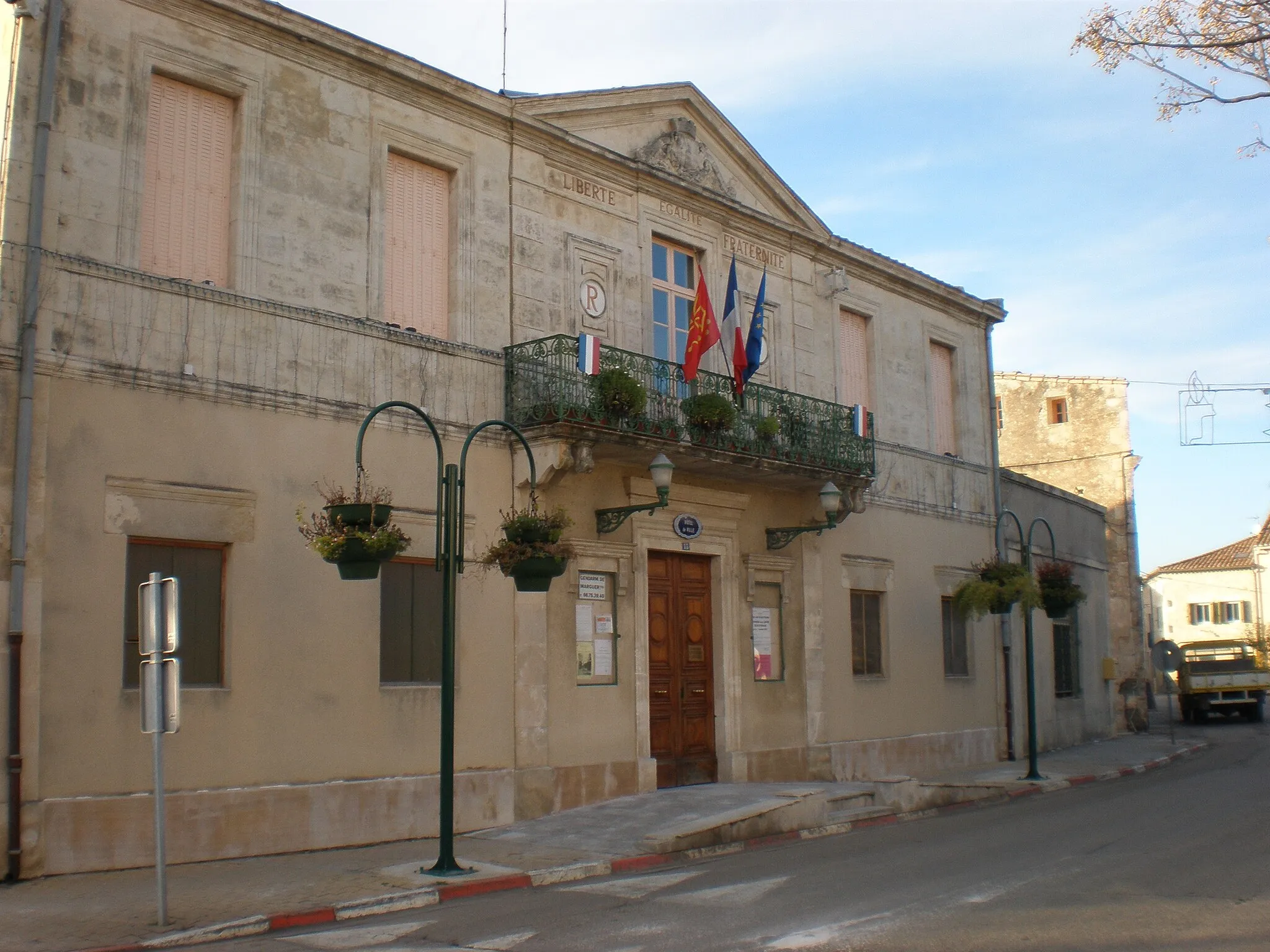
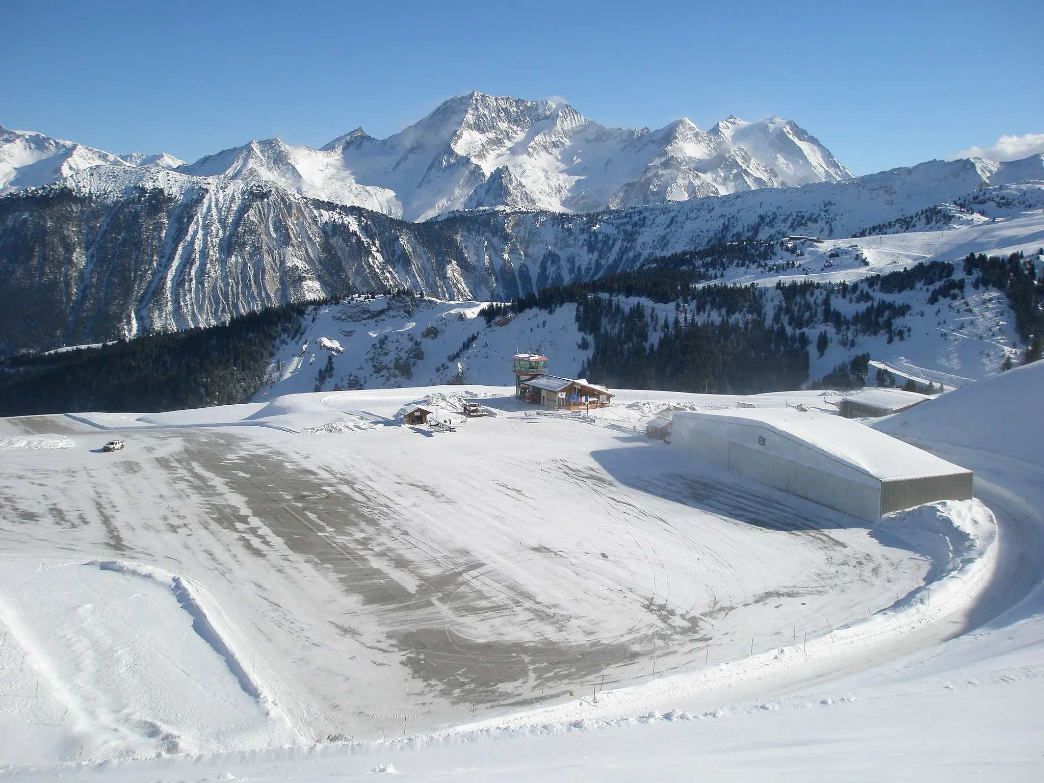
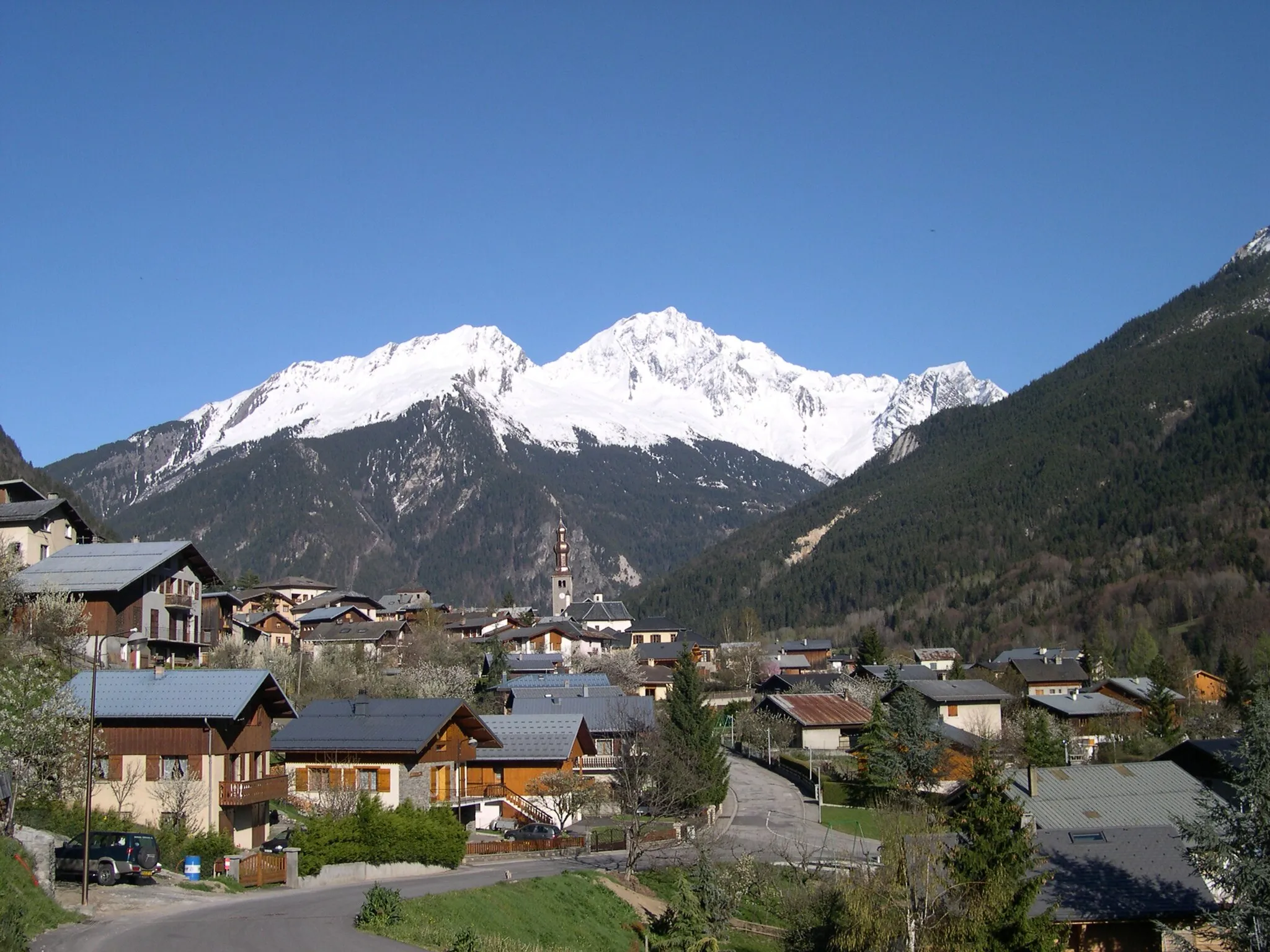
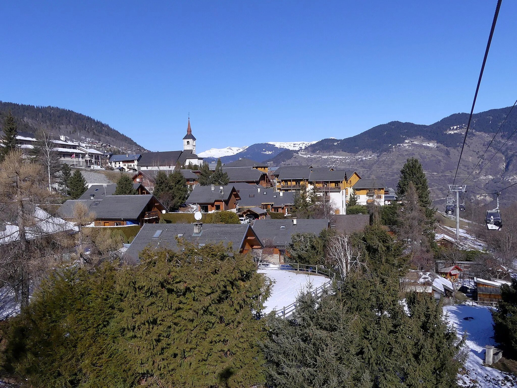
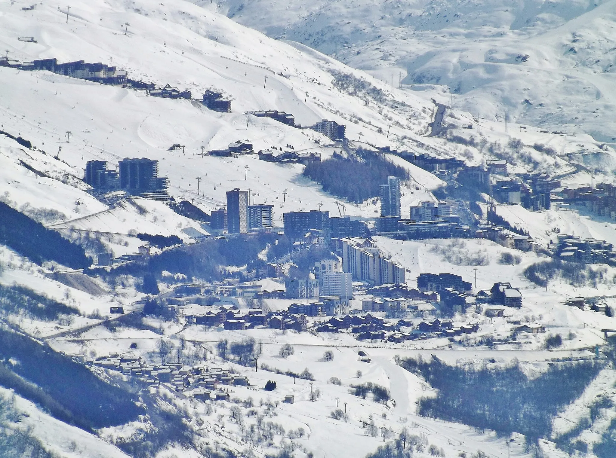
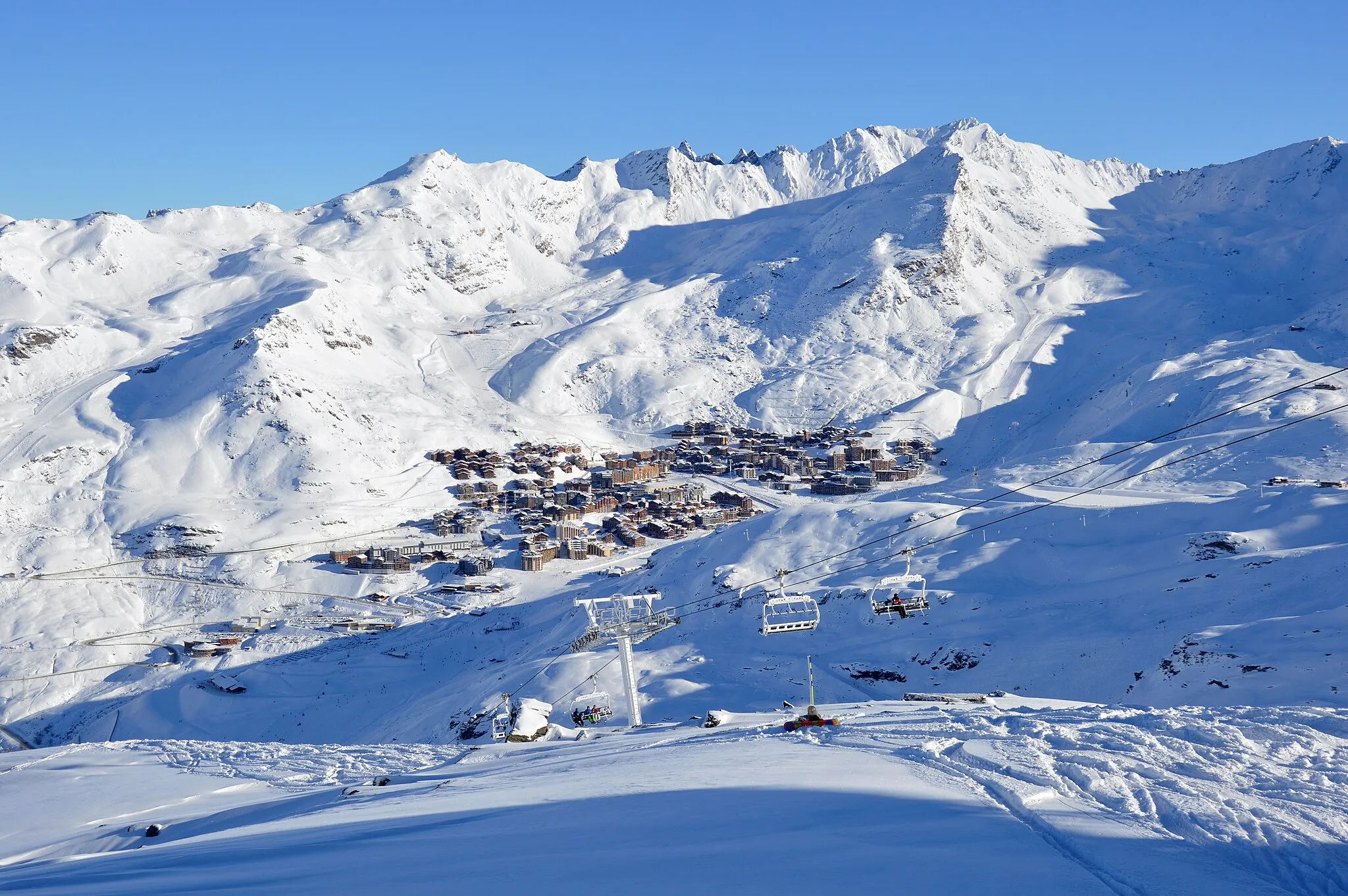
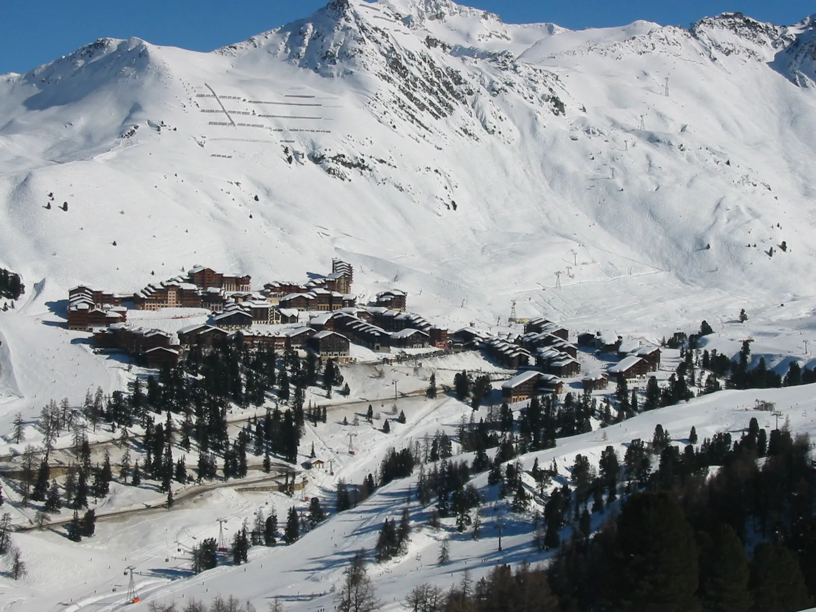
Courchevel is a locality located in the Rhône-Alpes region of France. From a cyclist's perspective, it is a paradise for road cyclists. The region is famous for its iconic mountain climbs, including the Col de la Loze and Col de Joux Plane. Courchevel itself is a popular base for many professional cycling teams during training season. With its challenging terrain and stunning Alpine landscapes, Courchevel is a dream destination for cyclists seeking tough climbs and breathtaking views.
Challenge of the Alps

Conquer the ultimate cycling challenge in the Alps
Embark on an epic cycling journey from Courchevel that will push your limits. This 209 km route with an ascent of 4107 m will take you through challenging terrains and across breathtaking landscapes. Be prepared to face the legendary Col de la Madeleine, famous for its demanding slopes and stunning views. Experience the thrill of conquering the Alps as you pass through towns like Albertville and Moûtiers.
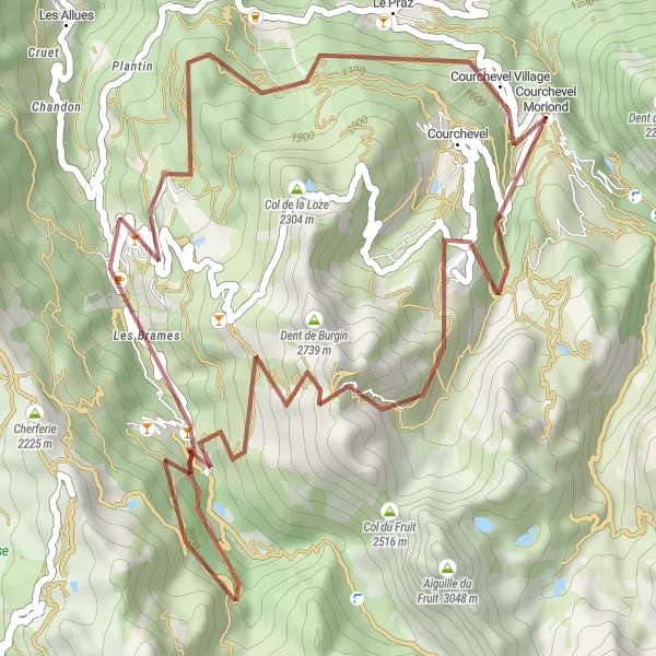
Embark on a scenic gravel route offering serenity and tranquility near Courchevel
Indulge in the beauty of nature with the Scenic Serenity gravel route near Courchevel. This 42-kilometer round-trip takes you through mesmerizing landscapes and peaceful idyllic spots. With an ascent of 1,973 meters, cyclists will be captivated by the tranquility and serenity found along this route. Highlights of the journey include the Village des Indiens, Dent de Burgin, Le Châtelet, Méribel-Mottaret, Rocher de l'ours, and Courchevel. Escape from the hustle and bustle of daily life as you immerse yourself in the natural wonders of Rhône-Alpes.
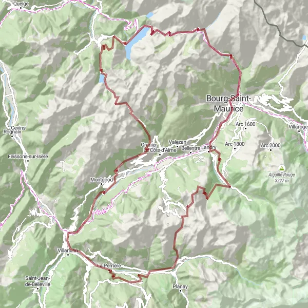
Embark on an exhilarating gravel ride through challenging terrain and discover hidden gems along the way
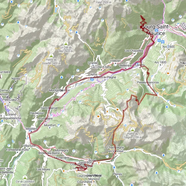
For those seeking a more adventurous cycling experience, this gravel route from Courchevel to Le Cormet D'Arêche offers a thrilling journey through rugged landscapes. With an ascent of 5897m and a distance of 140km, this route will test even the best gravel riders. You'll encounter highlights such as the historic town of Moûtiers and the charming village of Montgirod, as well as the beautiful Granier region. The route takes you up challenging climbs, including the Col du Pré and the Cormet de Roselend. Prepare to be awed by the breathtaking views of the Bourg-Saint-Maurice and the enchanting Belle Plagne. With a difficulty level of 5 and an epicness rating of 4, this is a legendary journey only for experienced riders seeking a true gravel adventure.
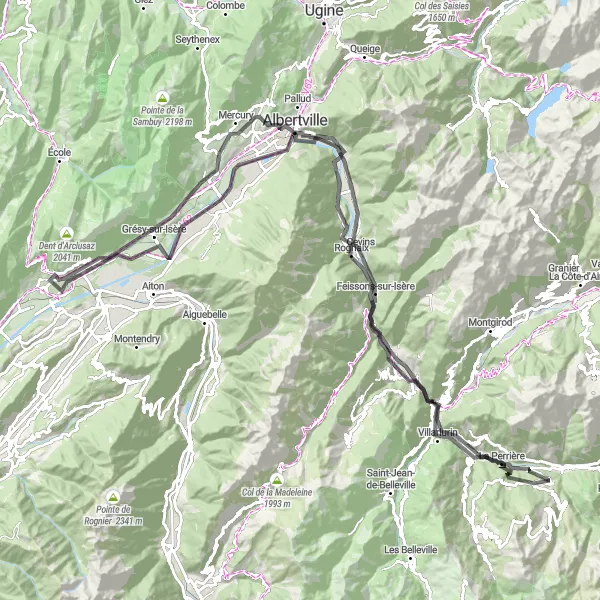
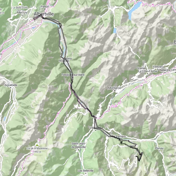
Ride through scenic views of the Alps and enjoy the historic charm of Albertville
This road cycling route takes you on a delightful journey through the Rhône-Alpes region of France. Starting from Courchevel, you'll ascend a total of 2475m over a distance of 139km. Along the way, you'll be treated to breathtaking highlights like the picturesque town of Salins-les-Thermes, the stunning views of Albertville and the Montailleur village. The route also offers panoramic vistas of the Belledonnes mountains and the Combe de Savoie. Although challenging, this route is suitable for very well-trained amateur cyclists. With a difficulty level of 4 and an epicness rating of 3, it promises a rewarding cycling experience for enthusiasts.
Courchevel Gravel Challenge
Experience the rugged beauty of the Rhône-Alpes region on this 109km gravel route near Courchevel
Explore the untouched mountain paths and charming villages of the Rhône-Alpes region with this gravel cycling route near Courchevel. With a total ascent of 4525m, this challenging ride will take you through scenic landscapes and beautiful highlights along the way.
Alpine Delight

Embark on an alpine delight and discover the rugged charm near Courchevel
Embark on an alpine delight and discover the rugged charm near Courchevel with this gravel route. Spanning over 76 kilometers and boasting an ascent of 3,426 meters, this challenging round-trip journey will test your endurance while showcasing the untamed beauty of Rhône-Alpes. Highlights include Brides-les-Bains, Montgirod, Aime, Le Fornelet, Bozel, and Courchevel. Take in the stunning mountain scenery, conquer steep climbs, and savor exhilarating descents. The Alpine Delight promises a thrilling adventure through picturesque villages and untamed landscapes, leaving you with memories to cherish.

Embark on an epic 155km road adventure through the Rhône-Alpes region near Courchevel
Embark on an unforgettable journey through the breathtaking Rhône-Alpes region on this 155km road cycling route near Courchevel. With a total ascent of 5503m, this challenging ride will take you through stunning landscapes and iconic highlights along the way.
Riviera Ride
Embark on an epic cycling journey exploring the French Riviera near Courchevel
Embark on an epic cycling journey through the French Riviera with the Riviera Ride. This round-trip route near Courchevel stretches over 107 kilometers, testing your cycling skills with an ascent of 2,523 meters. Prepare to be amazed by the breathtaking landscapes and picturesque towns along the way. Highlights include Saint-Bon-Tarentaise, Brides-les-Bains, La Bâthie, Vue sur Albertville, la combe de Savoie, Albertville, Esserts-Blay, Villarlurin, La Tania, and Courchevel Moriond. The Riviera Ride promises an unforgettable experience with challenging terrains and stunning panoramic views as you cycle along the Côte d'Azur.
Discover the scenic beauty of Salins-les-Thermes and its surroundings
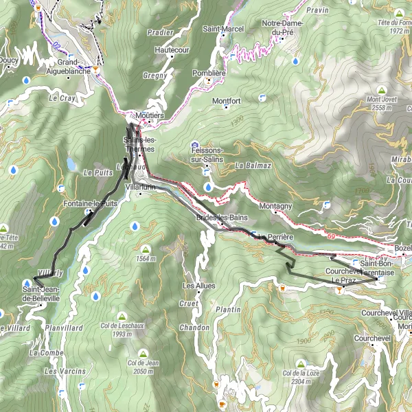
Embark on a shorter but equally captivating cycling adventure, starting from Salins-les-Thermes. This 52 km route offers beautiful landscapes and charming towns like Saint-Jean-de-Belleville along the way. With an ascent of 1841 m, this route is of moderate difficulty, suitable for cyclists with intermediate skills.
Courchevel Challenge
Conquer the challenging roads and enjoy breathtaking views near Courchevel
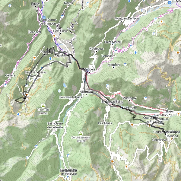
Embark on the Courchevel Challenge and experience the stunning landscapes of Rhône-Alpes. This round-trip cycling route features a total ascent of 2,745 meters and covers a distance of 74 kilometers. It provides a thrilling adventure for bike enthusiasts looking to test their skills and endurance. The route takes you through picturesque towns like Brides-les-Bains, Les Avanchers-Valmorel, Gelaz, Moûtiers, and La Tania. Prepare yourself for a physically demanding journey as you tackle the steep climbs and feel the adrenaline rush of descending back. The Courchevel Challenge is a road cycling experience that will leave you with unforgettable memories.
Cycling routes nearby:

Nearby regions: