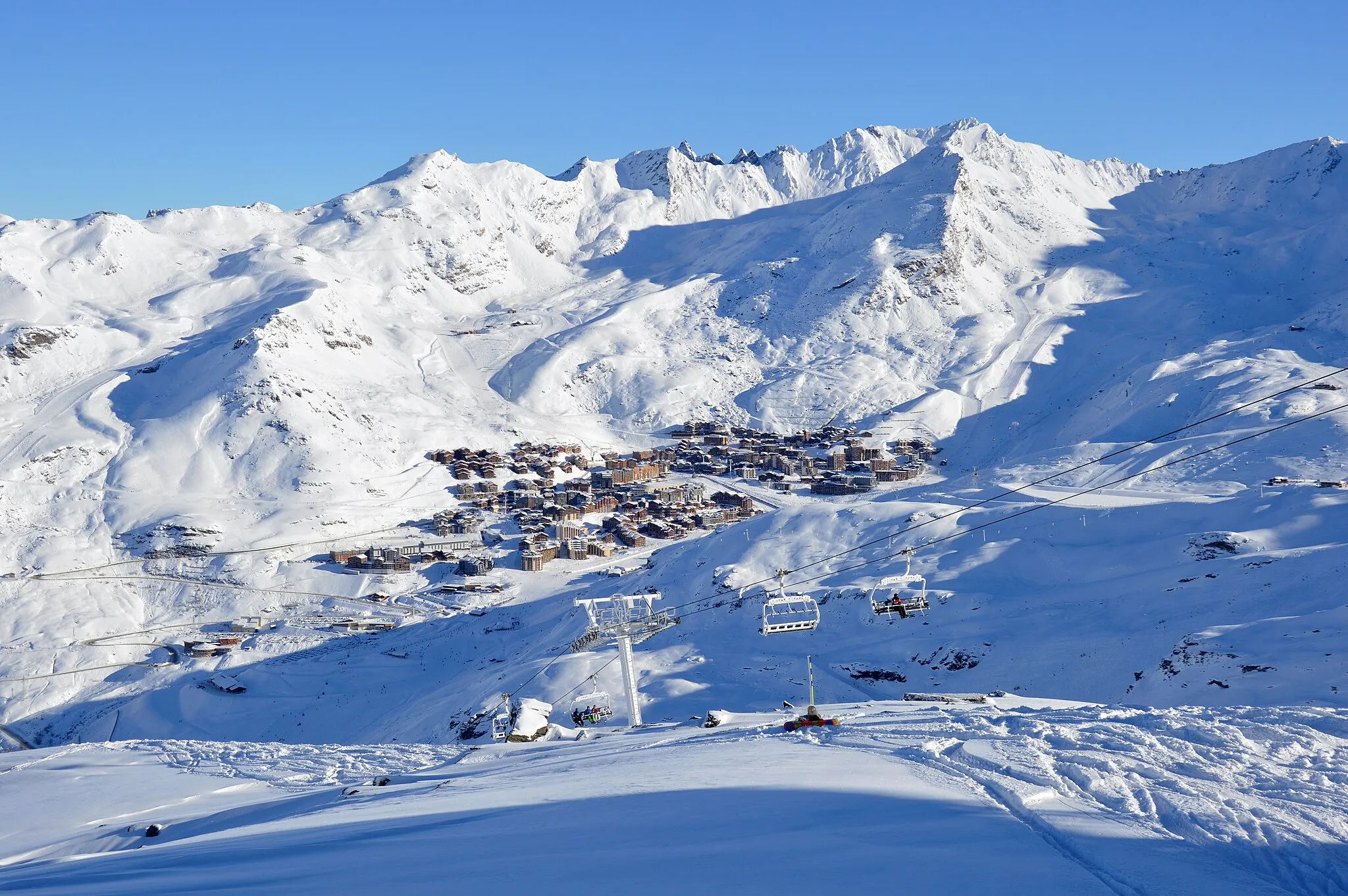
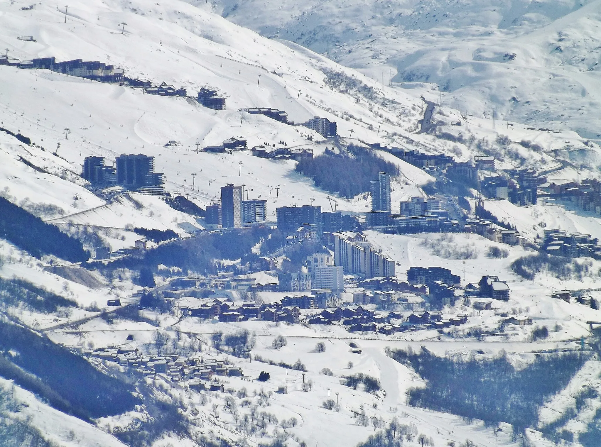
Legendary Climbs in the Heart of the Alps
Cycling routes from Val Thorens
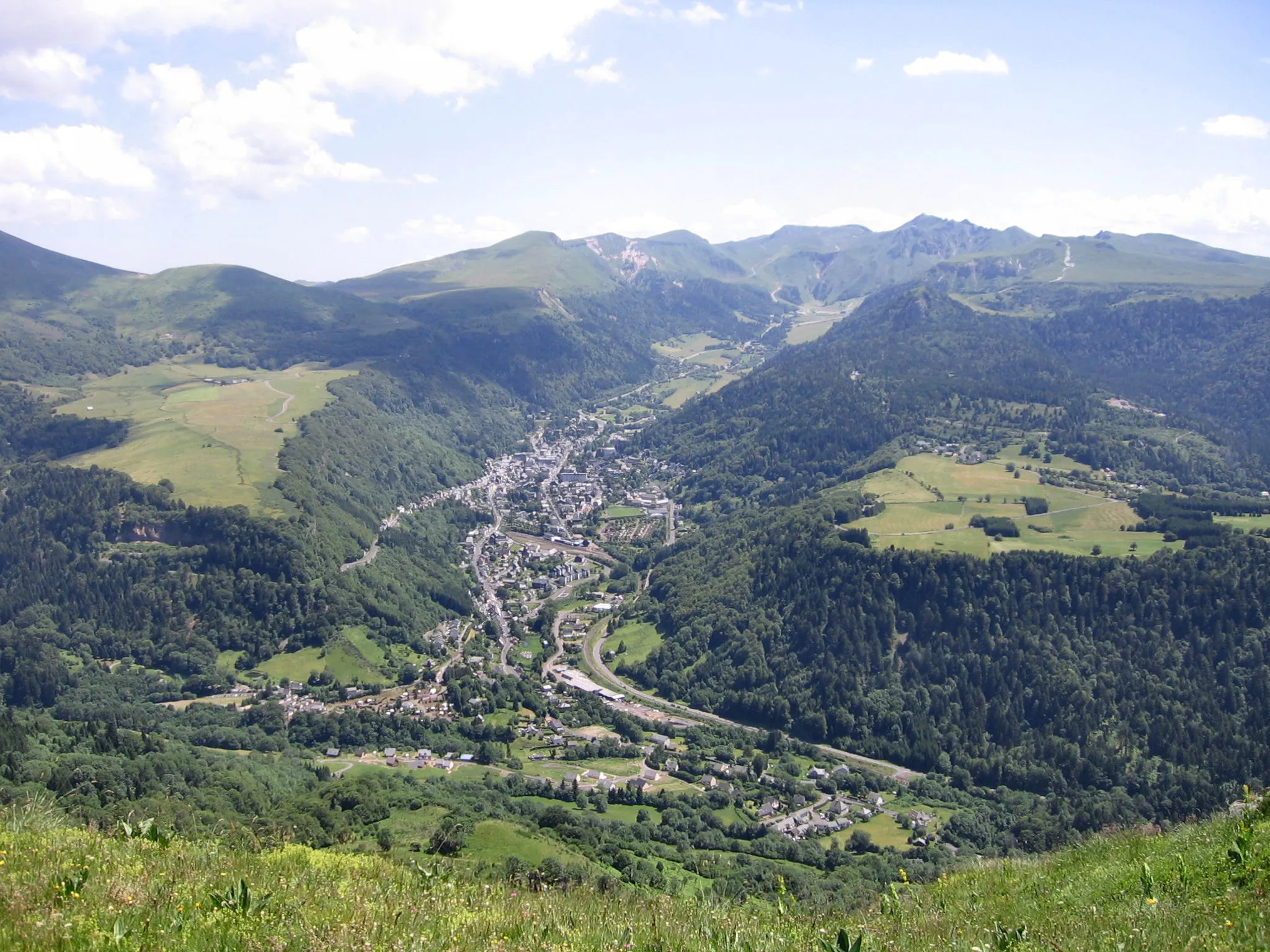
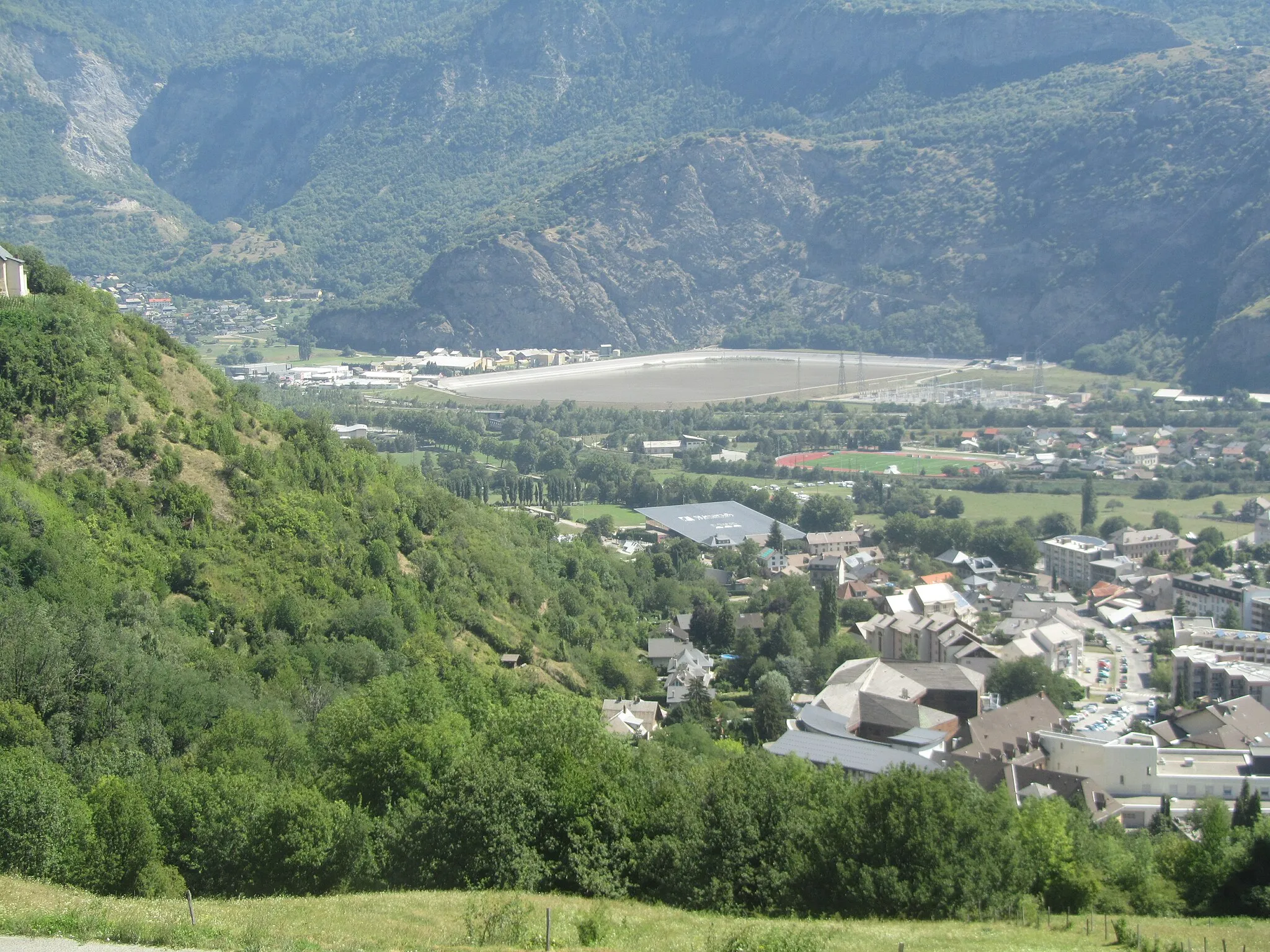
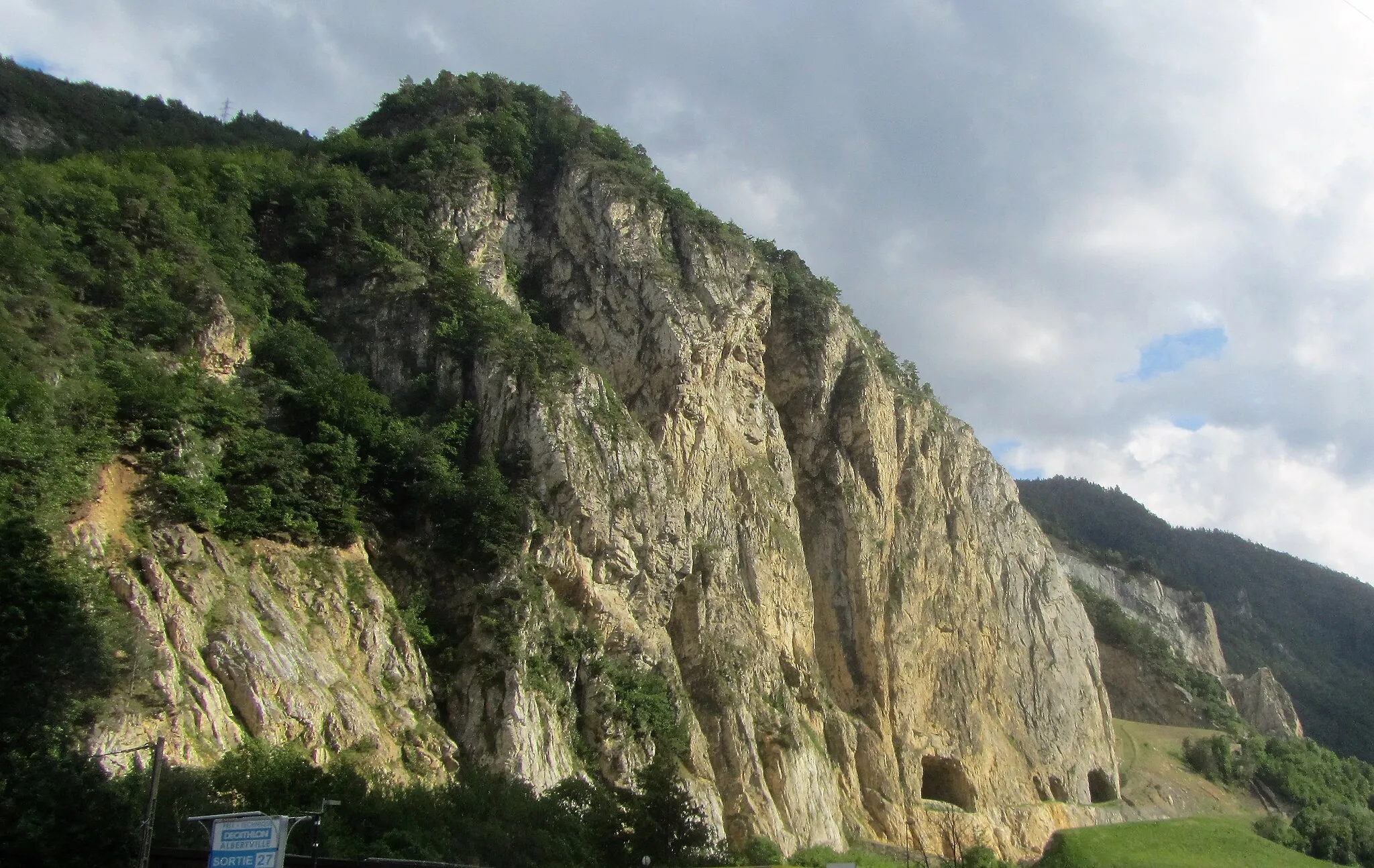
Val Thorens, nestled in the Rhone-Alpes region of France, is a mecca for both road and gravel cyclists. The locality is home to several well-known cycling climbs, including the famous Col de la Madeleine and Col de la Croix-de-Fer. Additionally, Val Thorens offers a variety of scenic routes amidst the stunning Alpine scenery. With its legendary climbs and breathtaking landscapes, Val Thorens deserves a ranking of 5 as a top cycling destination.

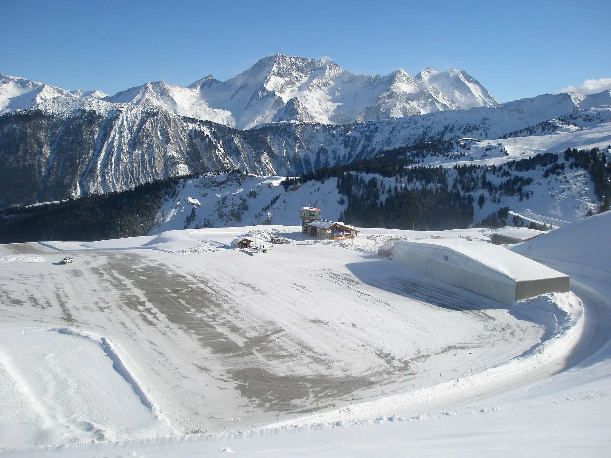
Embark on a scenic gravel route to Val Thorens, the highest ski resort in Europe
Discover the stunning beauty of Val Thorens on this challenging gravel route that spans 59 kilometers and includes an ascent of 3,758 meters. Highlights along the way include Les Chardons, a majestic mountain range with breathtaking panoramic views. Get ready for an epic adventure that will leave you in awe of the French Alps. The difficulty level is rated at 5, making it suitable for well-trained amateur cyclists seeking a serious challenge. With an epicness rating of 5, this route offers legendary climbs and unforgettable cycling moments.
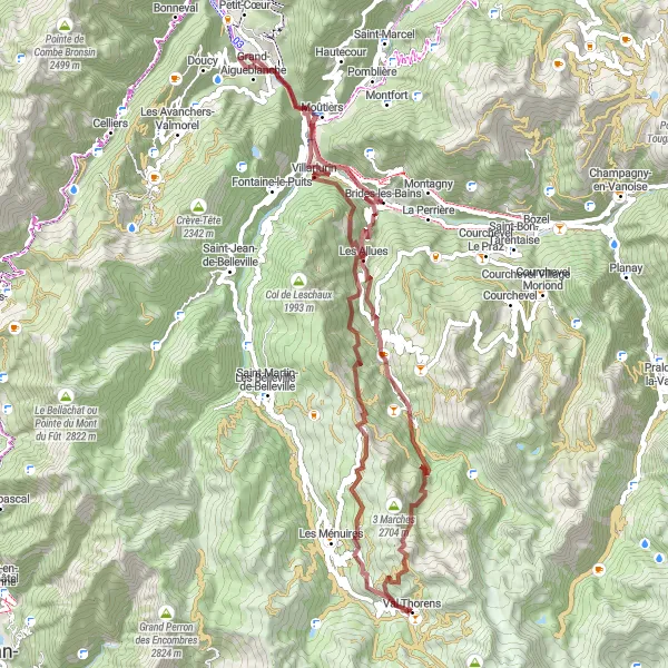
Experience the rugged beauty of gravel cycling on your journey to Les Ménuires
Embark on a thrilling gravel route as you ascend 2,780 meters over a distance of 59 kilometers. This challenging ride offers breathtaking scenery, with highlights including Les Ménuires, a charming alpine village, and l'Ouillette, a stunning mountain lake. The difficulty level is rated at 4, suitable for well-trained amateur cyclists. With an epicness rating of 4, this route promises memorable adventures and picturesque vistas along the way.

Embark on a thrilling road cycling adventure to Saint-Laurent-de-la-Côte
Embark on an exhilarating road cycling journey covering 112 kilometers and an ascent of 3,969 meters. This challenging route offers stunning scenery and numerous highlights, including l'Ouillette, a picturesque mountain lake, and Aime, a historic town with charming architecture and rich cultural heritage. Rated at difficulty level 5, this route is best suited for well-trained amateur cyclists seeking a serious challenge. With an epicness rating of 4, this journey promises excitement and unforgettable cycling moments.
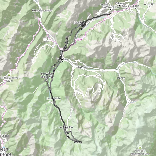
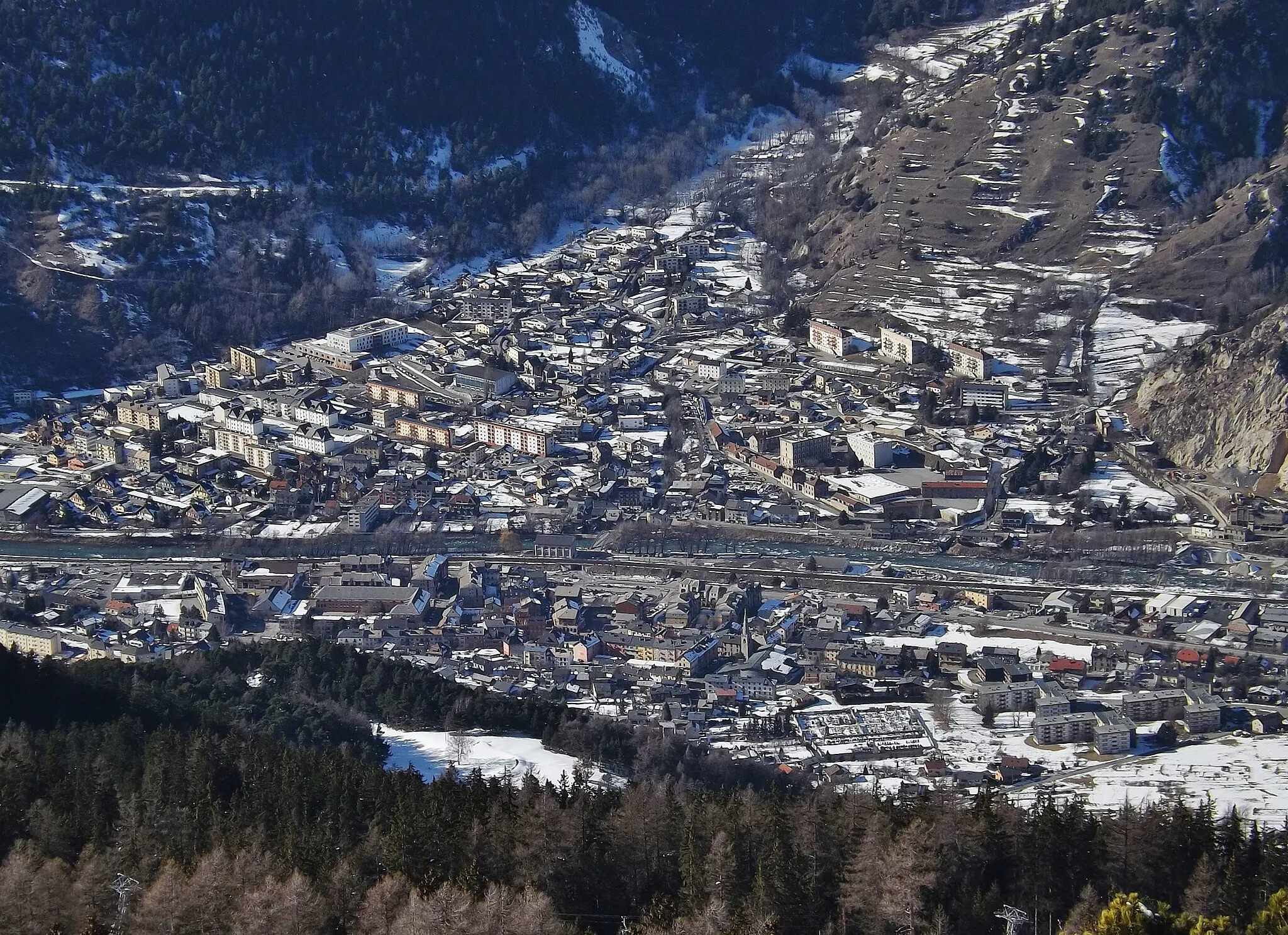
Embark on a breathtaking road cycling journey from Val Thorens to Tours-en-Savoie
Prepare for an epic road cycling adventure from Val Thorens to Tours-en-Savoie. With a distance of 123 kilometers and a total ascent of 3472 meters, this route challenges even the most seasoned cyclists. Take in the breathtaking alpine landscapes as you pass through iconic highlights such as l'Ouillette, Saint-Martin-de-Belleville, Villarlurin, Tours-en-Savoie, and Salins-les-Thermes. Admire the stunning natural scenery and historic villages along the way. Val Thorens is the perfect starting point for this unforgettable journey.

Explore the beautiful routes from Val Thorens to Fontaine-le-Puits and Les Bruyères
Discover the stunning scenery and challenging terrains as you cycle from Val Thorens to Fontaine-le-Puits and Les Bruyères. This 95-kilometer road biking route provides a thrilling adventure for cyclists of all levels. With a total ascent of 2999 meters, be prepared for some uphill climbs along the way. The route passes through highlights such as l'Ouillette, Saint-Martin-de-Belleville, Salins-les-Thermes, Notre-Dame-de-Briançon, and Fontaine-le-Puits. It offers a rewarding and memorable cycling experience with epic views.

A stunning gravel ride with beautiful highlights along the way
Embark on a thrilling gravel ride to Val Thorens, starting near Les Ménuires. This route offers an ascent of 2775 meters and covers a distance of 66 kilometers. The difficulty level is moderate, making it suitable for well-trained amateur cyclists. The epicness of this ride is rated at 4, providing an exhilarating experience for riders of all skill levels.
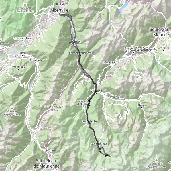
Embark on an adventurous road cycling journey from Val Thorens to Aime and Moûtiers
Get ready for an exhilarating road cycling experience as you pedal from Val Thorens to Aime and Moûtiers. Covering a distance of 118 kilometers and with a total ascent of 3939 meters, this route offers a challenging but rewarding ride. Highlights along the way include l'Ouillette, Saint-Martin-de-Belleville, Salins-les-Thermes, Aime, Montgirod, Moûtiers, and Les Belleville. Enjoy the diverse landscapes, from rolling hills to picturesque valleys, and soak in the sights of quaint mountain villages. This route promises an unforgettable cycling adventure for enthusiasts of all levels.
Embark on a thrilling gravel route to La Tania, a charming village in the French Alps
Embark on a thrilling gravel cycling adventure covering 83 kilometers and an ascent of 4,292 meters. This challenging route offers jaw-dropping scenery, with highlights including Les Chardons, a majestic mountain range known for its rugged beauty, and Courchevel, a popular ski resort town. With a difficulty level rated at 5, this route is recommended for experienced amateur cyclists looking for an extreme challenge. The epicness rating is 4, promising breathtaking views and unforgettable cycling moments.

Embark on an exhilarating gravel ride from Val Thorens to Saint-François-Longchamp 1650
Embark on a thrilling gravel biking adventure from Val Thorens to Saint-François-Longchamp 1650. With a distance of 106 kilometers and a challenging total ascent of 4531 meters, this route is perfect for experienced gravel riders seeking an epic challenge. Highlights along the way include Les Ménuires, l'Ouillette, Saint-Jean-de-Belleville, Pointe du Cuchet, Table d'orientation, Saint-François-Longchamp 1650, Le Novallay, Saint-Martin-de-Belleville, and Val Thorens. Ride through stunning alpine landscapes, conquer tough climbs, and experience the ultimate thrill of gravel biking in one of France's most beautiful regions.
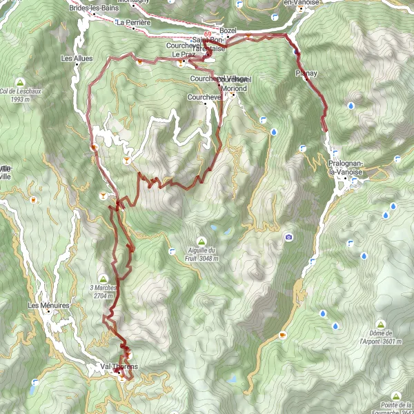
Val Thorens Gravel Adventure
Embark on a thrilling gravel adventure from Val Thorens
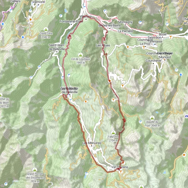
Experience the thrill of gravel biking as you explore the rugged landscapes surrounding Val Thorens. This 73-kilometer gravel route offers a challenging yet rewarding adventure for gravel biking enthusiasts. With a total ascent of 3453 meters, you'll tackle steep climbs and conquer challenging terrains. Highlights of the route include 3 Marches, a legendary climbing destination, Le Châtelet with its breathtaking views, Les Allues known for its rustic charm, Salins-les-Thermes for its healing thermal baths, tough ascent up Tougnète, and an ultimate finish back in Val Thorens. Prepare to be amazed by the stunning alpine scenery and immerse yourself in the wild wilderness.
Cycling routes nearby:

Nearby regions: