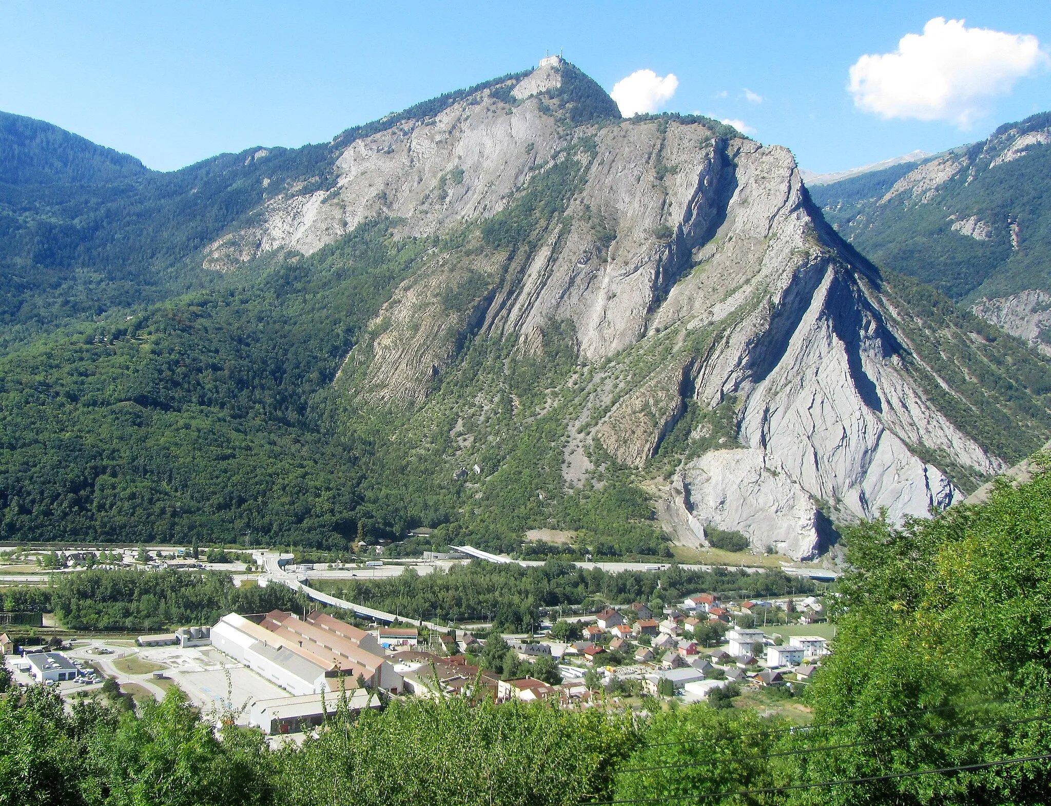
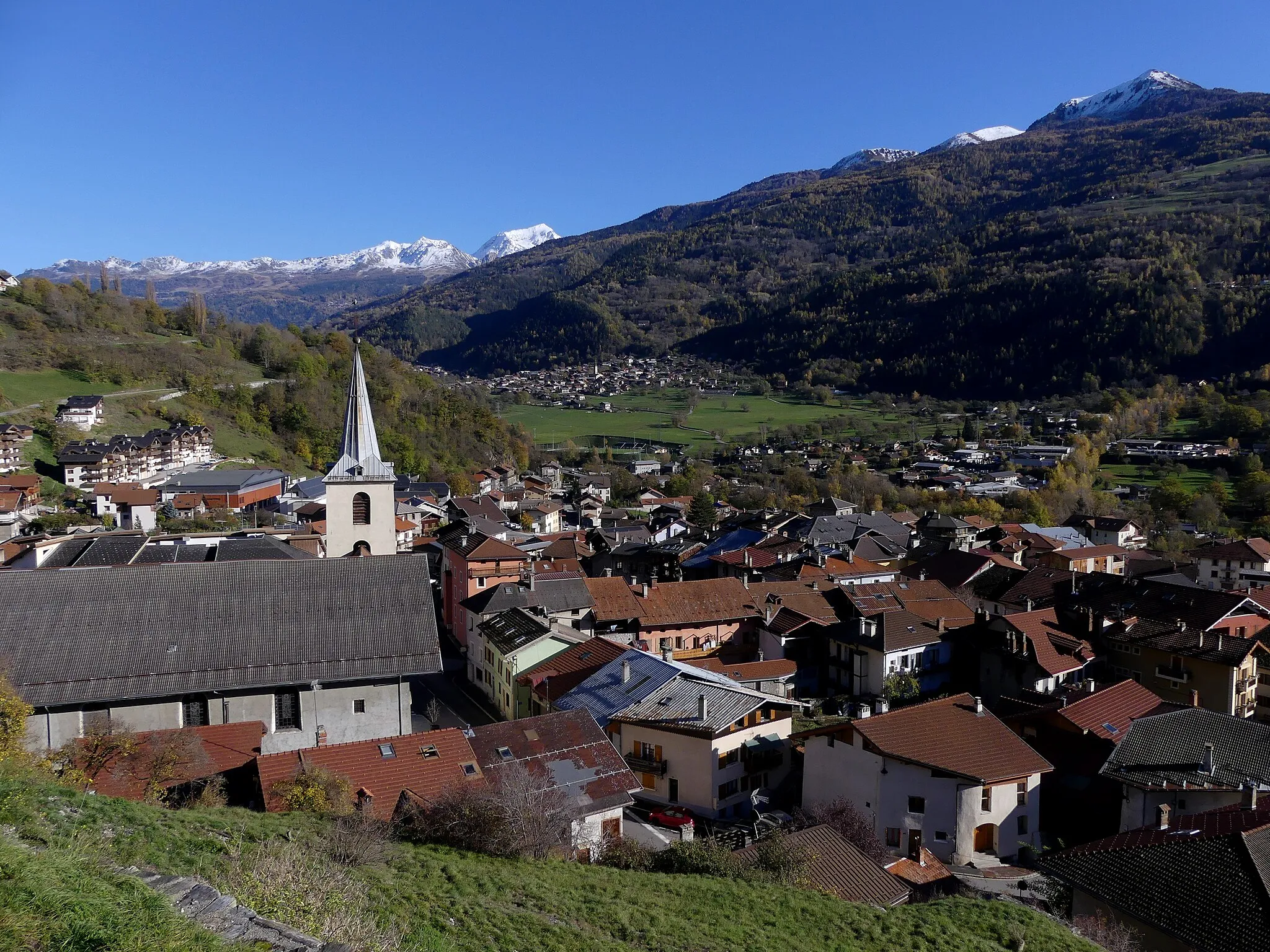
Legendary climbs await in Saint-Martin-de-Belleville
Cycling routes from Saint-Martin-de-Belleville
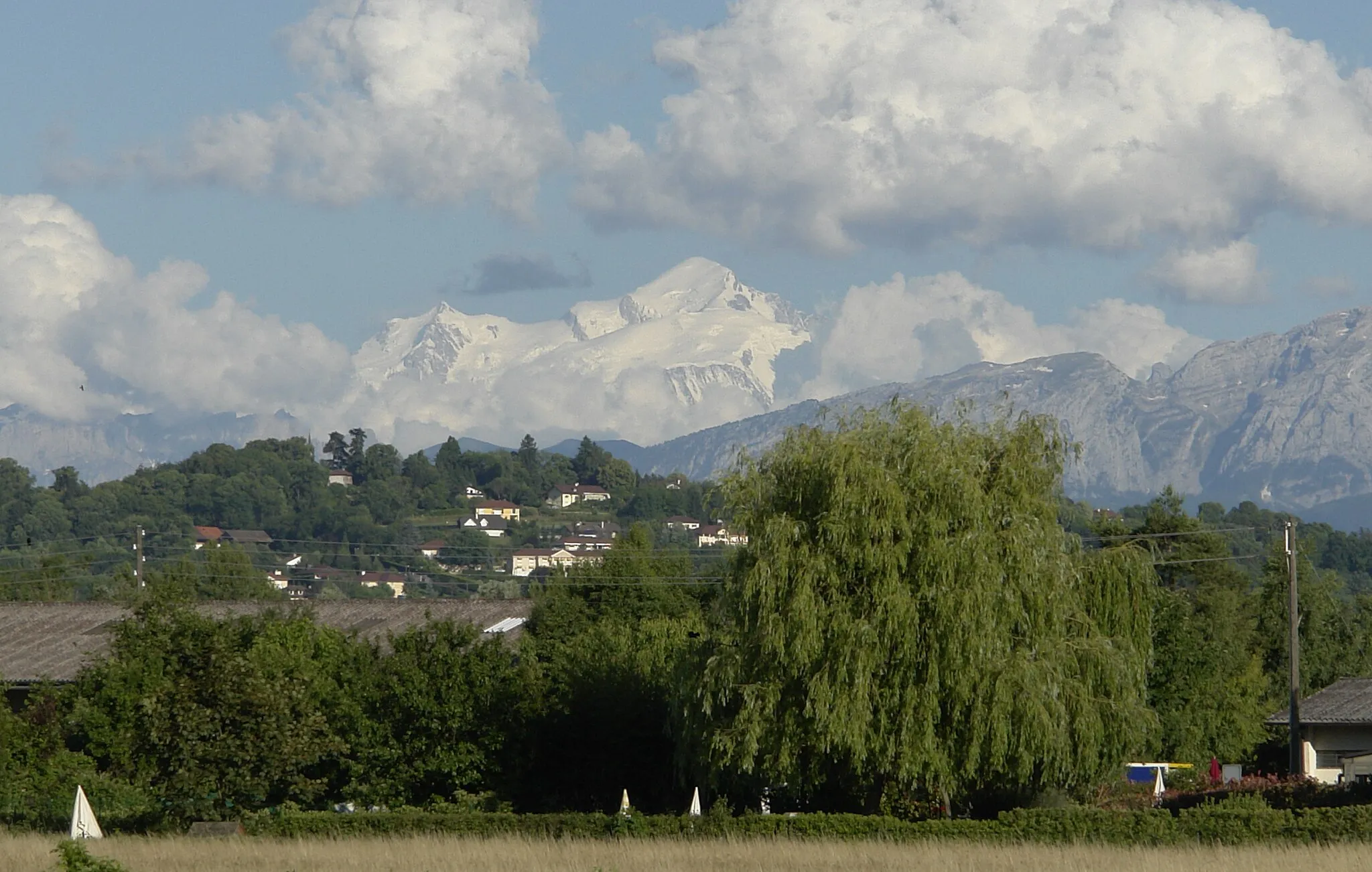
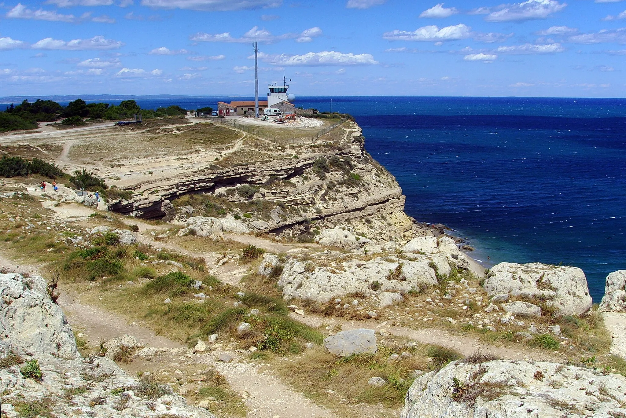
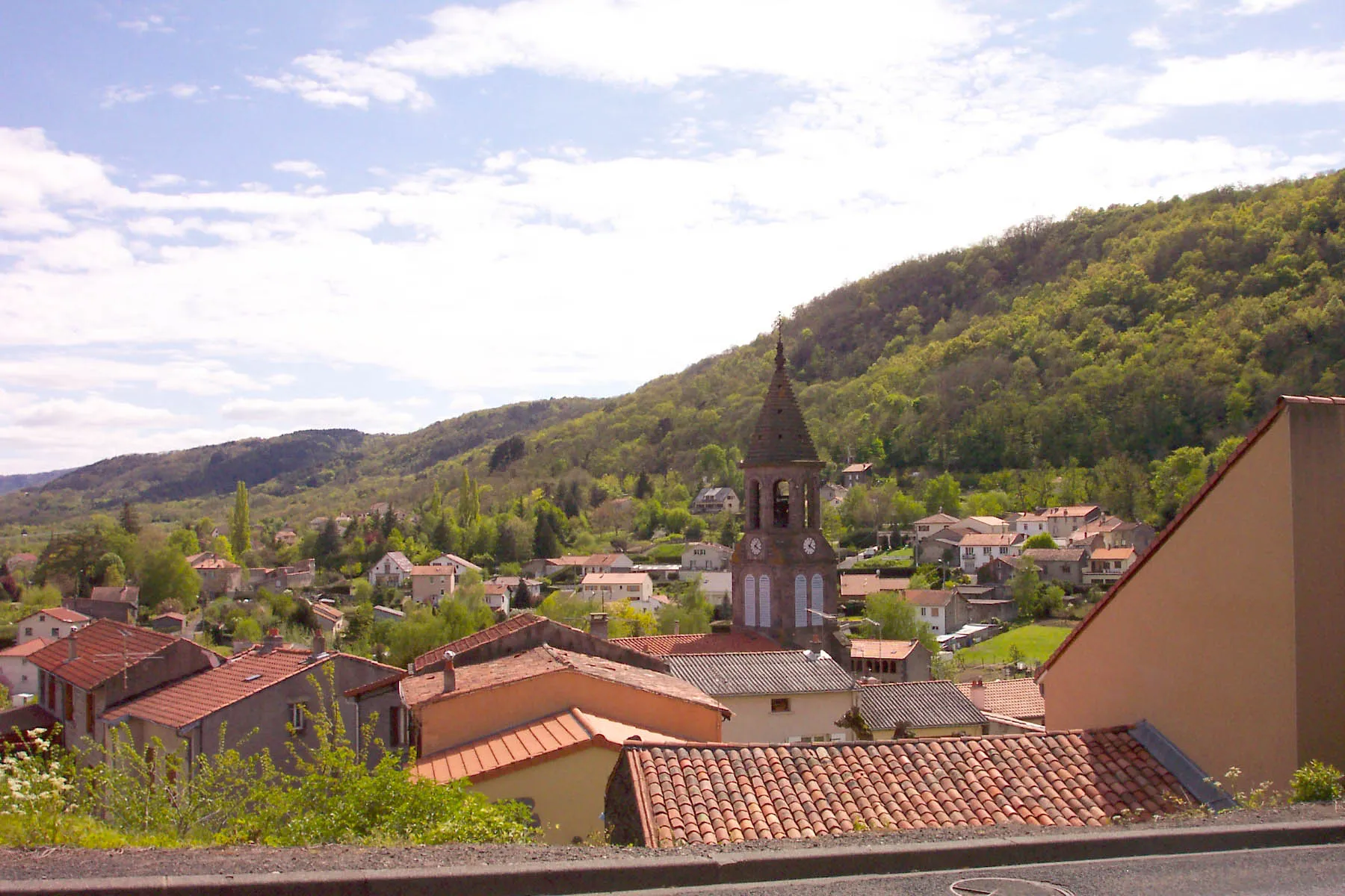
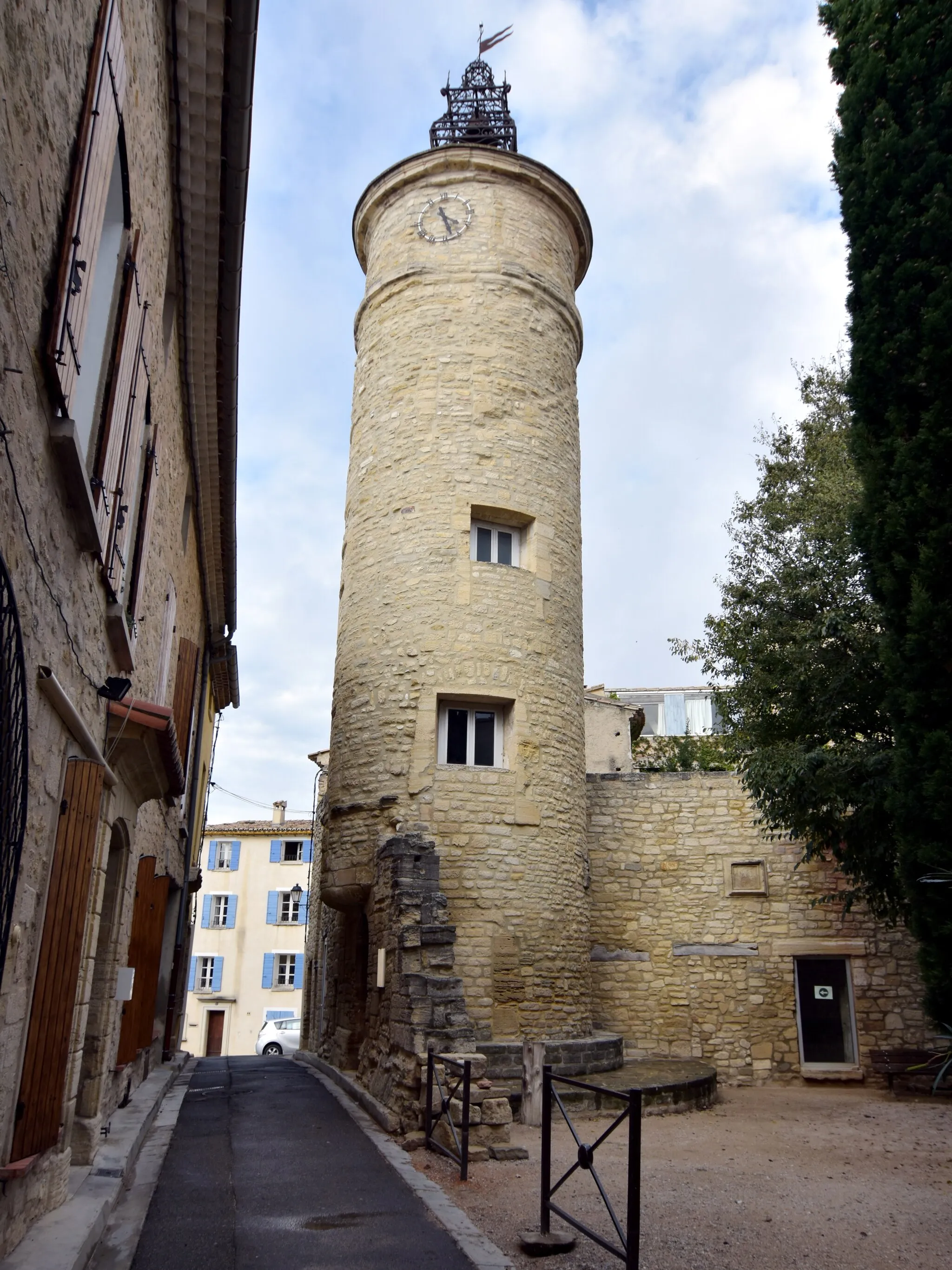
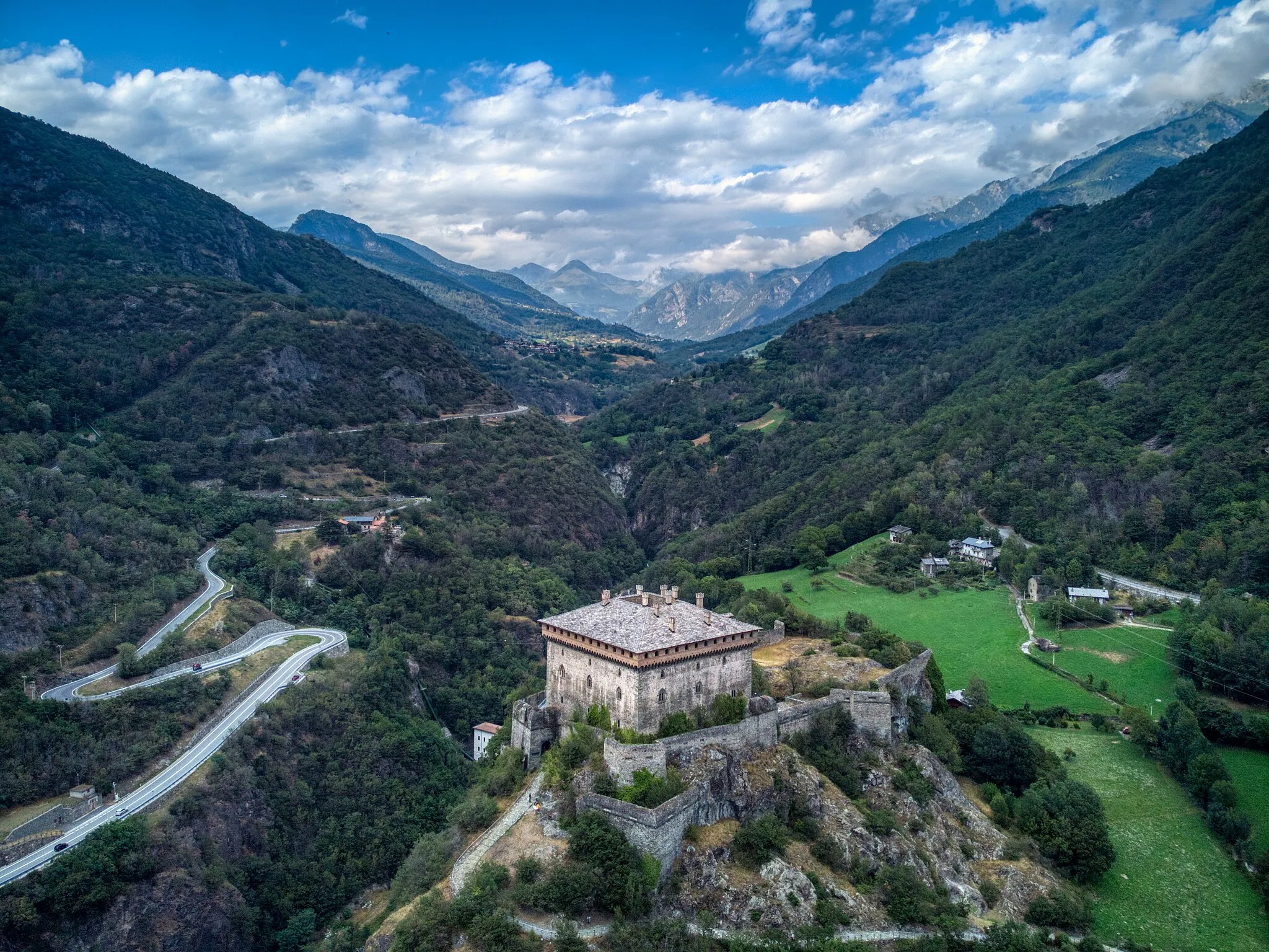
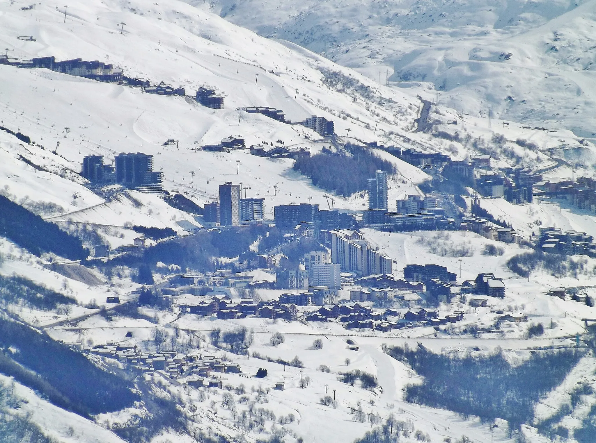
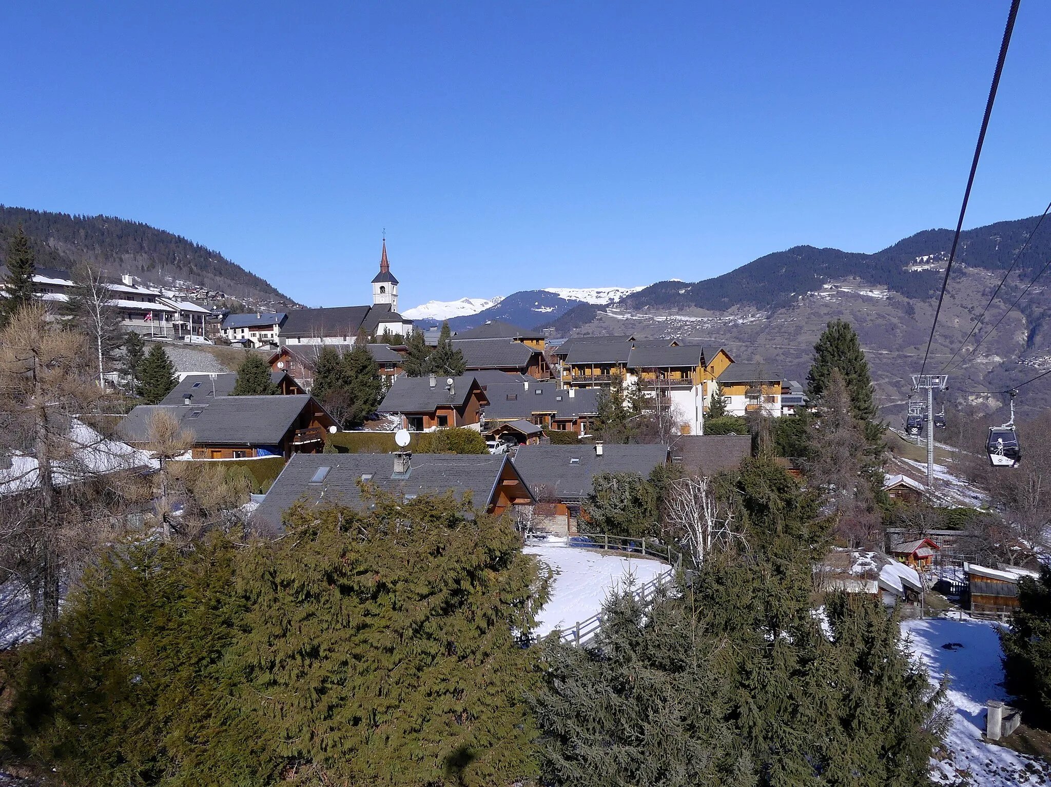
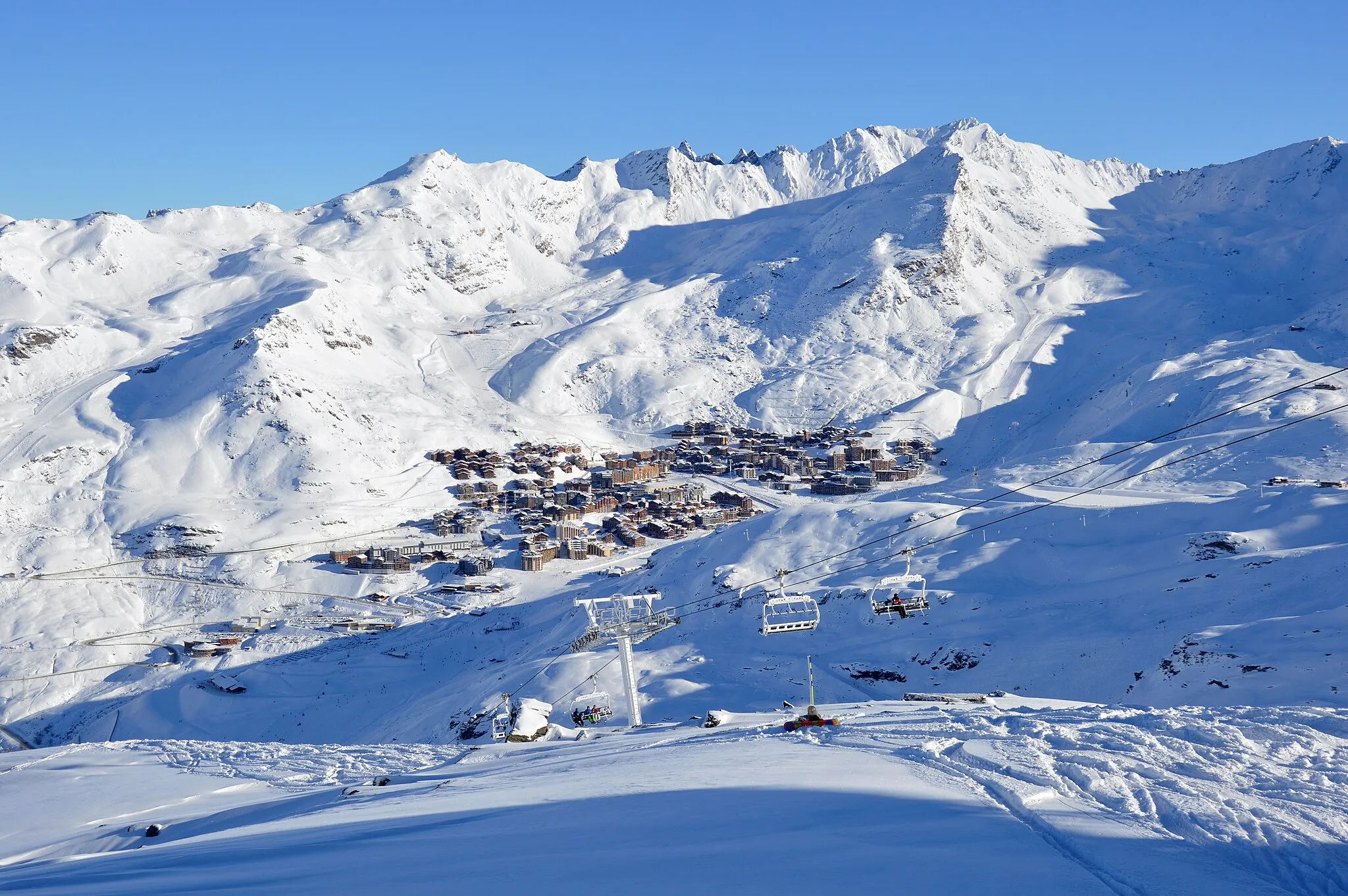
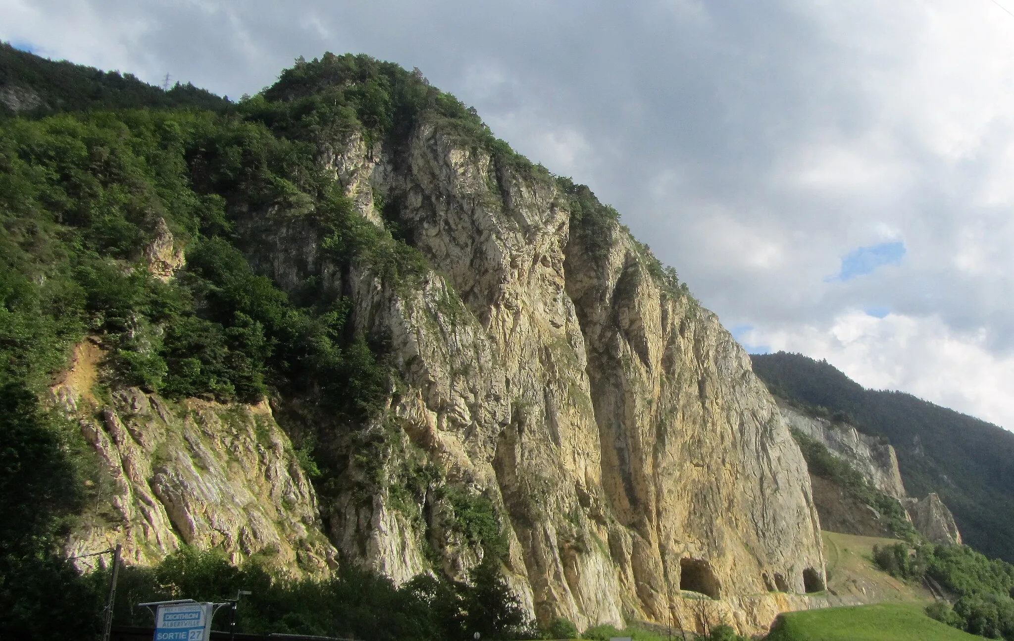
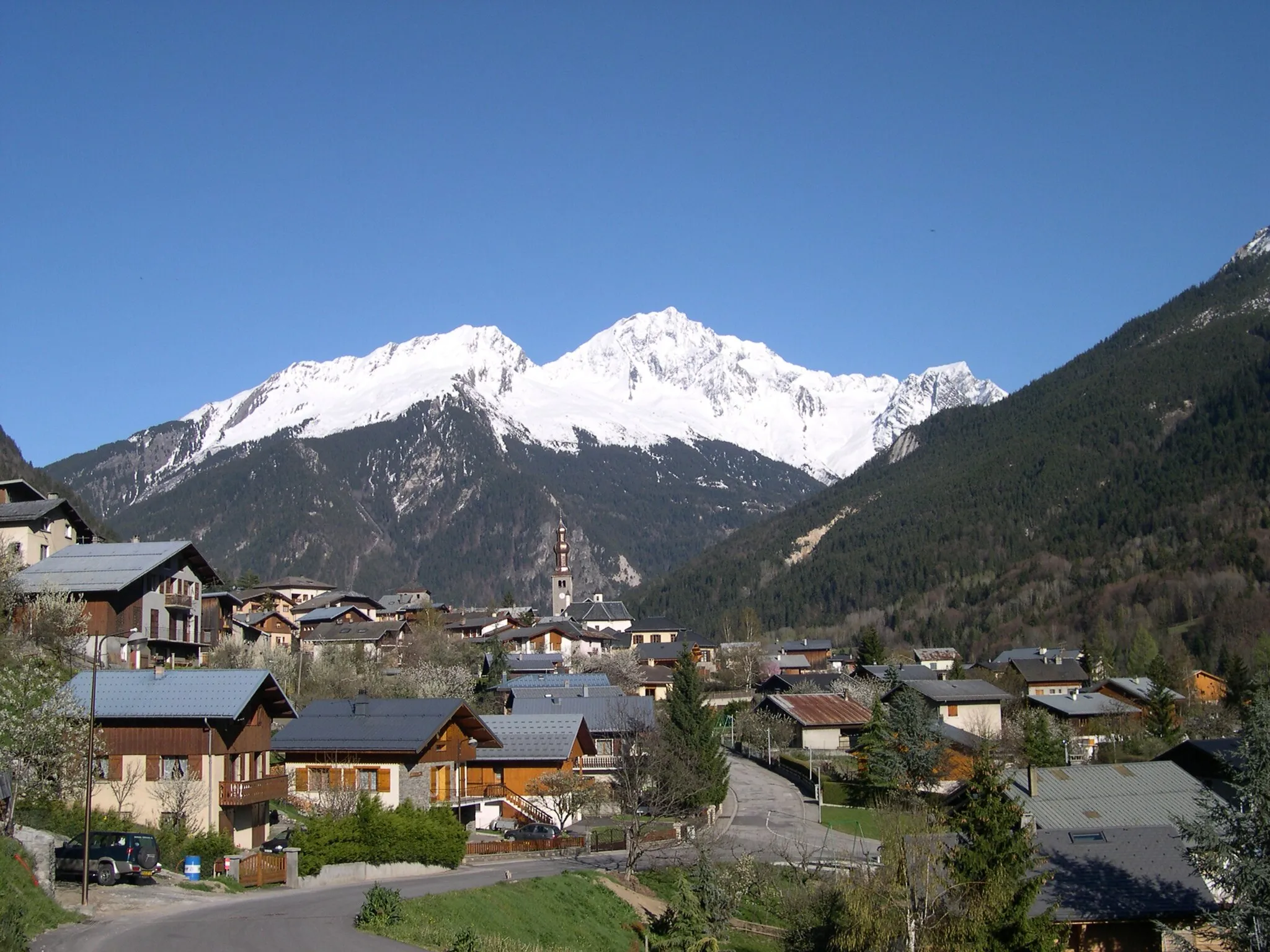
Saint-Martin-de-Belleville is a small town located in the Rhône-Alpes region of France. This alpine town is a magnificent destination for road cyclists and gravel enthusiasts alike. From Saint-Martin-de-Belleville, cyclists can access iconic climbs, such as the Col de la Madeleine and the Col de la Croix de Fer, which are renowned within the cycling community. The area is also part of the famous Three Valleys ski area, providing challenging and scenic routes for adventurous cyclists. With its legendary climbs and spectacular mountain views, Saint-Martin-de-Belleville is a true paradise for cycling fanatics.
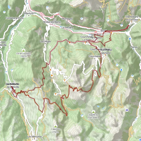
Embark on an adventurous gravel route from Saint-Martin-de-Belleville to Les Belleville.
Discover the rugged beauty of the region as you cycle along this gravel route from Saint-Martin-de-Belleville to Les Belleville. Covering a distance of 76 kilometers and featuring an ascent of 3,848 meters, this route is ideal for experienced gravel cyclists seeking a challenging adventure. Highlights along the way include Pas de Cherferie, La Tania, Champagny-en-Vanoise, Courchevel Moriond, Saulire, Tougnète, and Le Molard. Immerse yourself in the untamed nature of the area and enjoy the thrill of conquering the gravel trails. This route is rated as 5 out of 5 in terms of difficulty and epicness.
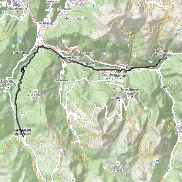
Cycle through scenic landscapes from Saint-Martin-de-Belleville to Les Belleville.
Embark on a road cycling adventure from Saint-Martin-de-Belleville to Les Belleville. This 61-kilometer route includes a challenging ascent of 2,399 meters, making it suitable for experienced cyclists seeking a thrilling challenge. Along the way, you'll pass by highlights such as Brides-les-Bains, Bozel, and Saint-Laurent-de-la-Côte. Enjoy the stunning views of the surrounding mountains and experience the cycling-friendly atmosphere of these charming towns. The difficulty level of this route is 4 out of 5, with an epicness rating of 3.

Embark on an exciting gravel adventure from Caseblanche to Les Belleville.
Cycle through the untouched nature of the region as you embark on this gravel route from Caseblanche to Les Belleville. With a distance of 57 kilometers and an ascent of 3,054 meters, this route is perfect for adventurous gravel cyclists seeking unforgettable thrills. Highlights of the route include Caseblanche, Pas de Cherferie, La Tania, Courchevel Moriond, Saulire, Tougnète, and Le Molard. Immerse yourself in the wild landscapes and experience the pure joy of gravel cycling. The difficulty level is 5 out of 5, suitable only for highly experienced riders. The epicness rating is 4, highlighting the exceptional beauty of the surroundings.

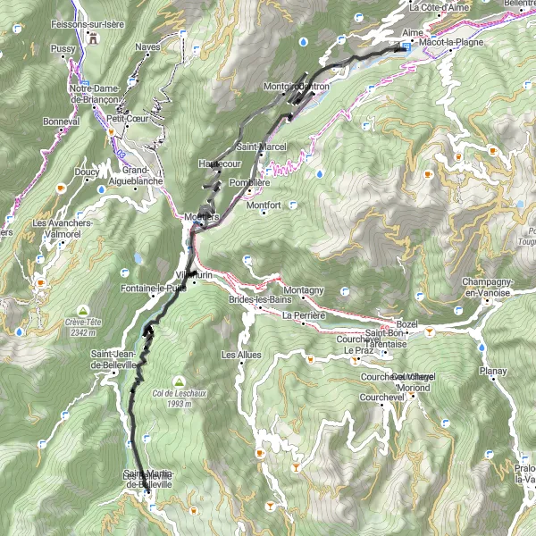
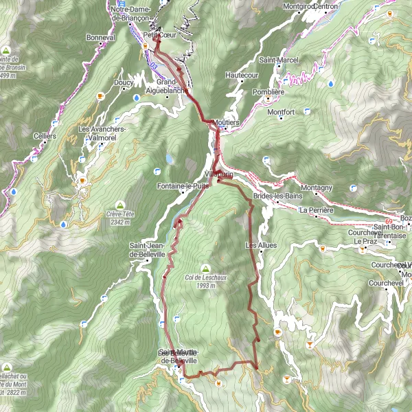
Cycle through beautiful scenery from Saint-Martin-de-Belleville to Les Belleville.
This road route takes you through the stunning landscapes of Saint-Martin-de-Belleville and Les Belleville. You'll cycle over a total distance of 82 kilometers, with a challenging ascent of 2,253 meters. The route features highlights such as Salins-les-Thermes, La Bâthie, Notre-Dame-de-Briançon, Fontaine-le-Puits, and Les Belleville. Experience the charm of these picturesque towns and enjoy the breathtaking views along the way. The difficulty level of this route is 4 out of 5, suitable for experienced cyclists.
Scenic road route from Saint-Martin-de-Belleville to Saint-Laurent-de-la-Côte
This road cycling route takes you from the picturesque village of Saint-Martin-de-Belleville to the charming town of Saint-Laurent-de-la-Côte. Along the way, you'll enjoy stunning views of the surrounding mountains and pass through quaint villages. The route includes a total ascent of 2902 meters over a distance of 77 kilometers.
Exciting gravel route from Saint-Martin-de-Belleville to Pas de Cherferie
Embark on an exciting gravel adventure from Saint-Martin-de-Belleville to Pas de Cherferie. This route offers a mix of challenging climbs and thrilling descents through breathtaking alpine landscapes. With an ascent of 2212 meters over a distance of 49 kilometers, this route is suitable for intermediate to advanced gravel riders looking for a memorable cycling experience.

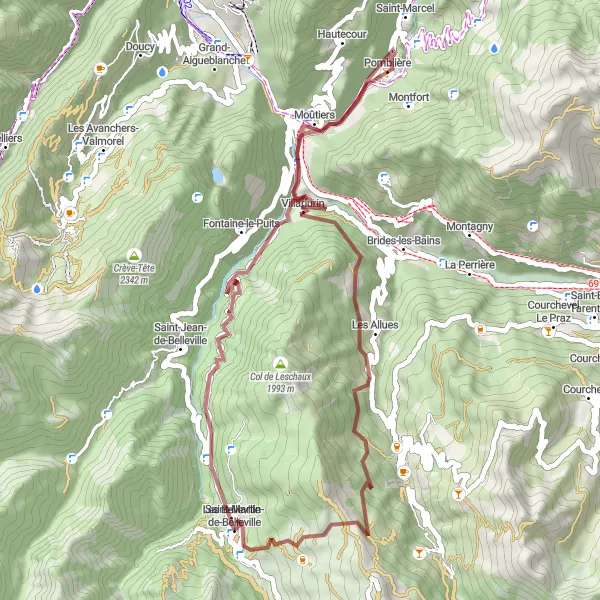
Rugged gravel route from Saint-Martin-de-Belleville to Les Allues
Explore the rugged beauty of the French Alps on this gravel cycling route from Saint-Martin-de-Belleville to Les Allues. The route offers challenging terrain and breathtaking views of the surrounding mountains. With an ascent of 2042 meters over a distance of 38 kilometers, this route is perfect for experienced gravel riders looking for an exhilarating adventure.

Embark on a legendary road cycling tour through the magnificent Rhône-Alpes.
Experience the ultimate road cycling adventure in the Rhône-Alpes region with this round-trip route near Saint-Martin-de-Belleville. Covering a distance of 148 kilometers and featuring an elevation gain of 4,428 meters, this route is a true test of endurance and skill. Start your journey in Saint-Martin-de-Belleville before heading towards Salins-les-Thermes, where you can take a dip in the natural thermal baths. Continue on to Aime, Villaroger, Tignes Les Brevières, Sainte-Foy-Tarentaise, Bellentre, Moûtiers, and Fontaine-le-Puits, each offering unique highlights and attractions along the way.

Embark on a thrilling gravel adventure in the stunning Rhône-Alpes region.
This round-trip cycling route near Saint-Martin-de-Belleville offers an unforgettable gravel adventure through the picturesque Rhône-Alpes. With a distance of 66 kilometers and an elevation gain of 3,540 meters, this route is perfect for experienced gravel cyclists looking for a challenge. The route starts at Caseblanche, where you can enjoy the beautiful scenery before heading towards Pas de Cherferie, which offers breathtaking views of the surrounding mountains. As you continue, you'll pass La Tania, Bozel, Courchevel Moriond, Vizelle, Tougnète, and Le Molard, each offering unique highlights and interesting attractions along the way.
Embark on a picturesque gravel route from Saint-Martin-de-Belleville to Les Belleville.
Discover the beauty of the countryside on this gravel route from Saint-Martin-de-Belleville to Les Belleville. Covering a distance of 55 kilometers and featuring an ascent of 2,463 meters, this route offers a thrilling experience for gravel enthusiasts. Highlights along the way include Moûtiers, Salins-les-Thermes, Les Allues, and Pas de Cherferie. Explore picturesque towns, enjoy the peaceful atmosphere, and conquer challenging gravel sections. The difficulty level of this route is 4 out of 5, with an epicness rating of 4. Get ready for an unforgettable gravel adventure in the heart of Rhône-Alpes.
Cycling routes nearby:

Nearby regions: