Châbons to Bizonnes Road Cycling Route
A road cycling route starting from Chabons
Wind through picturesque towns and enjoy scenic views on this challenging road cycling route.
Map
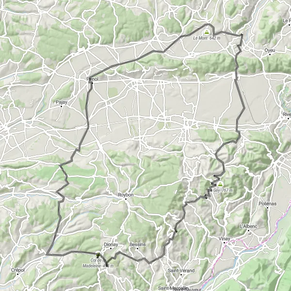
This road cycling route takes you from Châbons to Bizonnes, passing through beautiful towns and offering breathtaking views along the way. With an ascent of 1670 meters and a total distance of 116 kilometers, this route is suitable for well-trained amateur cyclists. It provides a challenging but rewarding experience for those looking to test their skills.
road
116 km
1670 m
Tough
Route profile
Highlights on the route
0 km
0 km
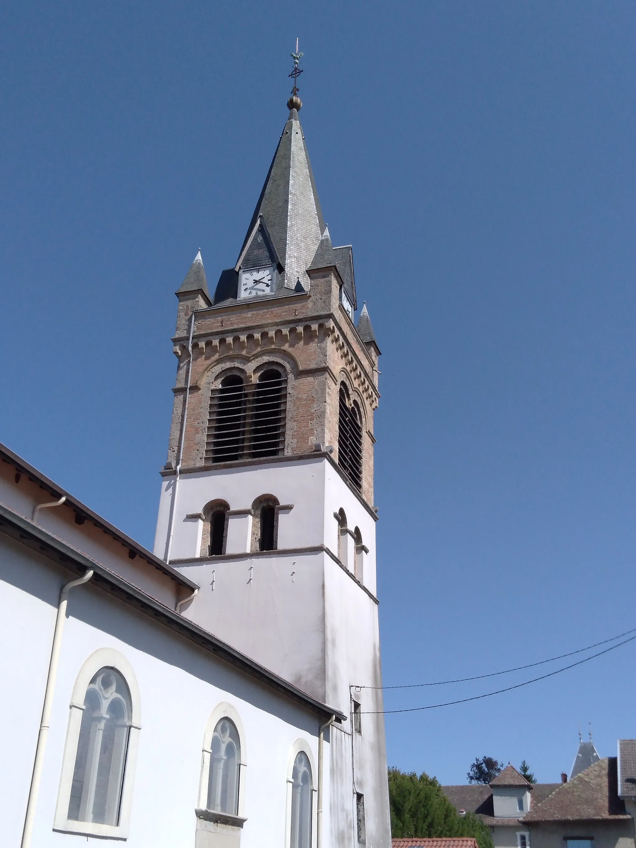
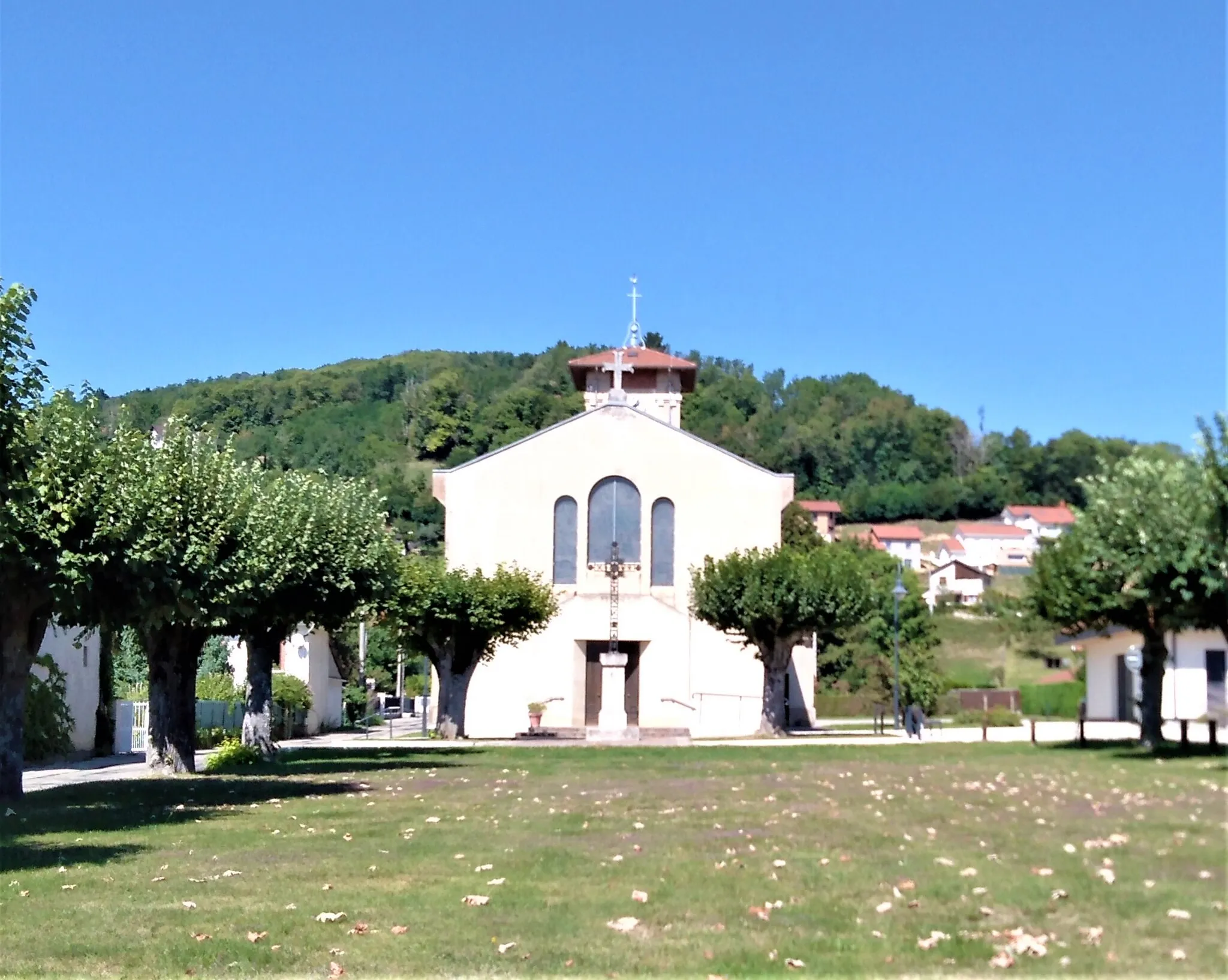
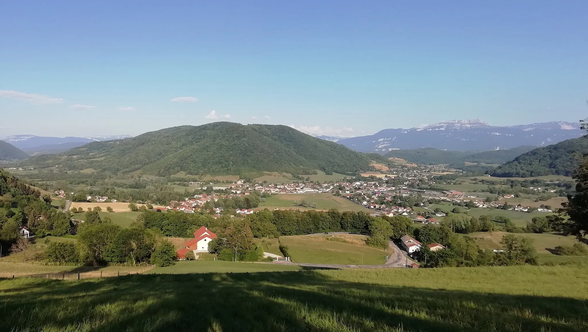
Start: Châbons Village centerChâbons: Picturesque cycling escapes in Châbons
Châbons, a locality situated in the Rhône-Alpes region of France, offers a pleasant cycling experience for both road and gravel cyclists. The area features scenic roads and tranquil surroundings, making it an appealing destination for cycling enthusiasts. Châbons boasts picturesque countryside views and offers various cycling routes suitable for riders of different skill levels. Additionally, cyclists can enjoy the nearby col de Toutes Aures, a popular climb within this cycling-friendly region. With its beautiful landscapes and convenient access to notable climbs, Châbons is a suitable choice for cyclists.14 km
14 km
IzeauxVillageIzeaux, located 14 kilometers into the route, is a charming town known for its historic architecture and beautiful landscapes.
27 km
27 km
Le Gey767 mPeakAt the 27-kilometer mark, you will reach Le Gey, a small village with a rich cultural heritage and stunning natural surroundings.
32 km
32 km
Serre-NerpolVillageSerre-Nerpol, located 32 kilometers into the route, offers breathtaking panoramic views of the surrounding mountains and valleys.
42 km
42 km
MurinaisVillageMurinais, at the 42-kilometer mark, is a quaint village known for its charming streets and traditional French atmosphere.
58 km
58 km
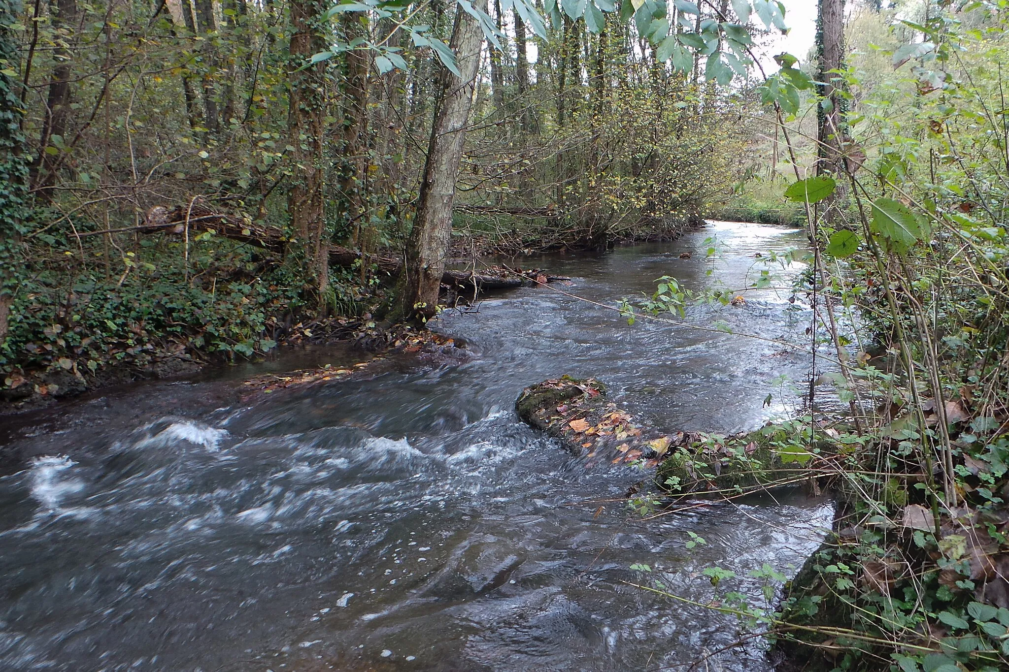
Col de la Madeleine493 mMountain PassCol de la Madeleine, at the 58-kilometer mark, is a famous cycling spot that offers challenging uphill sections and stunning views at the summit.
63 km
63 km
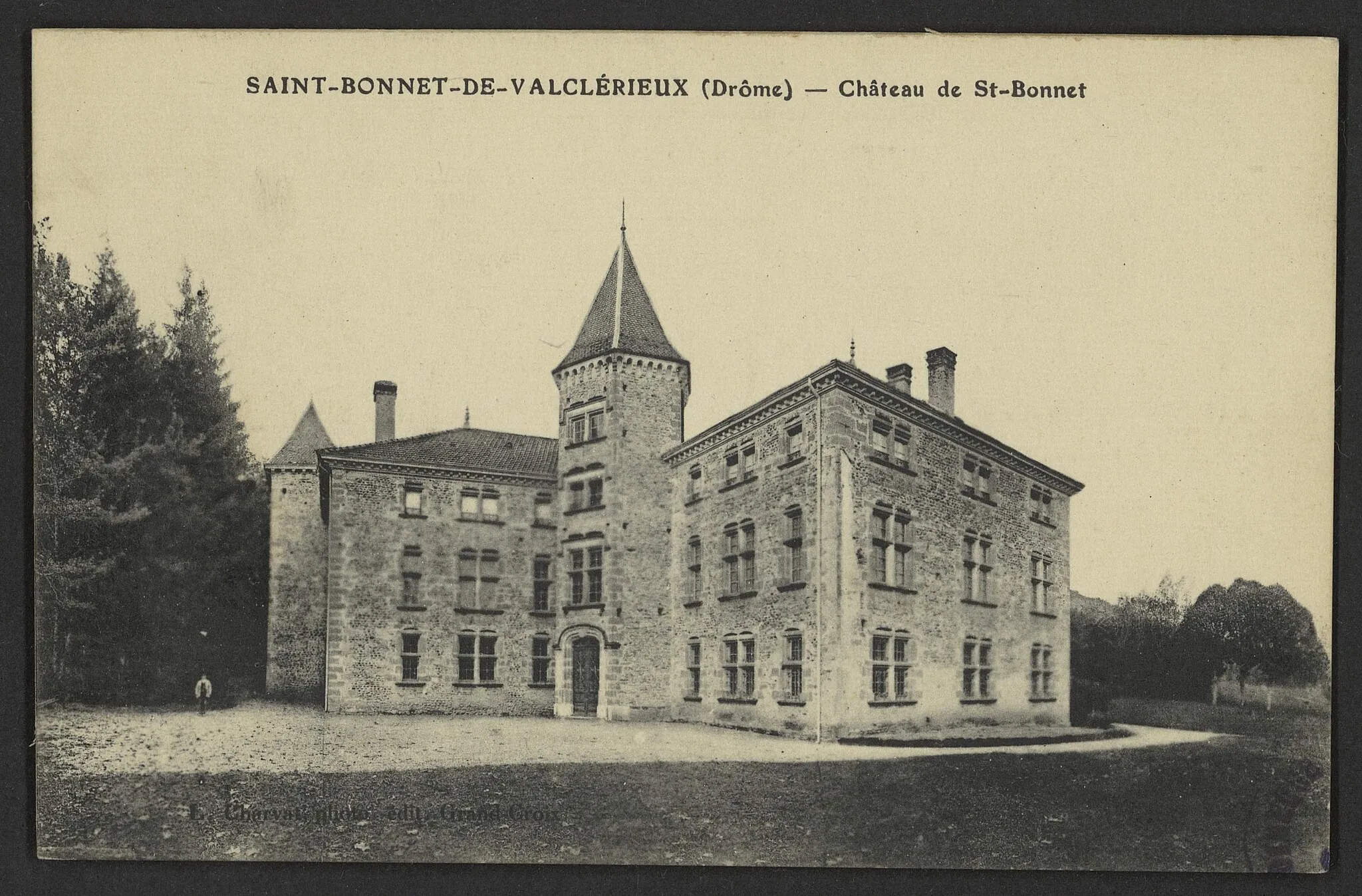
Saint-Bonnet-de-ValclérieuxVillageSaint-Bonnet-de-Valclérieux, located 63 kilometers into the route, is a picturesque town known for its beautiful churches and quaint cottages.
86 km
86 km
MarcillolesVillageMarcilloles, at the 86-kilometer mark, is a hidden gem with stunning medieval architecture and picturesque countryside views.
111 km
111 km
BizonnesVillageBizonnes, the final highlight at the 111-kilometer mark, is a charming village with traditional French charm and breathtaking natural surroundings.
116 km
116 km
Finish: Châbons Village centerChâbons: Picturesque cycling escapes in Châbons
Cycling routes from Chabons:
Châbons to Brézins Gravel Cycling Route Châbons - Burcin - Le Truc - Col de la Croix de Toutes Aures - Roybon - Saint-Siméon-de-Bressieux - Mont Avalon - Bizonnes - Col de Rossatière Châbons - Saint-Étienne-de-Saint-Geoirs - Mont au Pin - Roybon - Viriville - Mont Avalon - Longechenal Châbons to Bizonnes Road Cycling Route Châbons - Longechenal - Mont Avalon - Châtonnay - Bourgoin-Jallieu - Sérézin-de-la-Tour - Col de Rossatière Châbons to Bizonnes Gravel Cycling Route Châbons to Biol Gravel Cycling Route Châbons - Blandin - Saint-André-le-Gaz - Granieu - Mont de Cordon - Col de la Crusille - Avressieux - Saint-Jean-d'Avelanne - Mont Follet - Oyeu Châbons - Le Truc - Le Gey - Serre-Nerpol - Bessins - Roybon - La Côte-Saint-André - Bizonnes - Col de Rossatière Châbons to Burcin Gravel Cycling Route
Cycling routes nearby: