Givors Gravel Loop
A gravel cycling route starting from Chasse-sur-Rhone
A scenic gravel route with challenging climbs
Map
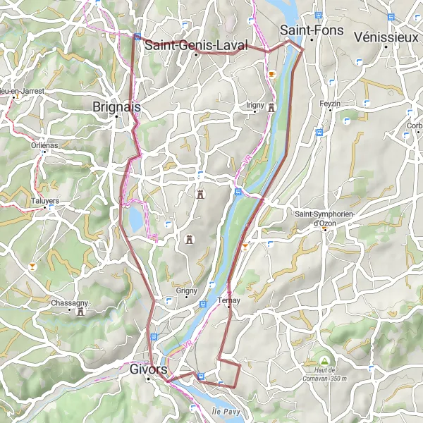
This 41-km gravel route near Chasse-sur-Rhône takes you through picturesque landscapes and offers challenging climbs, making it a great choice for adventurous gravel riders. The route includes highlights like Givors, an ancient town known for its Roman amphitheater, Brignais with its historic church, Saint-Genis-Laval with its charming streets, and Sérézin-du-Rhône, which offers breathtaking views of the Rhône River.
gravel
41 km
298 m
Tough
Route profile
Highlights on the route
0 km
0 km
Start: Chasse-sur-Rhône Village centerChasse-sur-Rhône: Explore the scenic Rhône-Alpes region, including the legendary climb of Mont Ventoux, from Chasse-sur-Rhône.
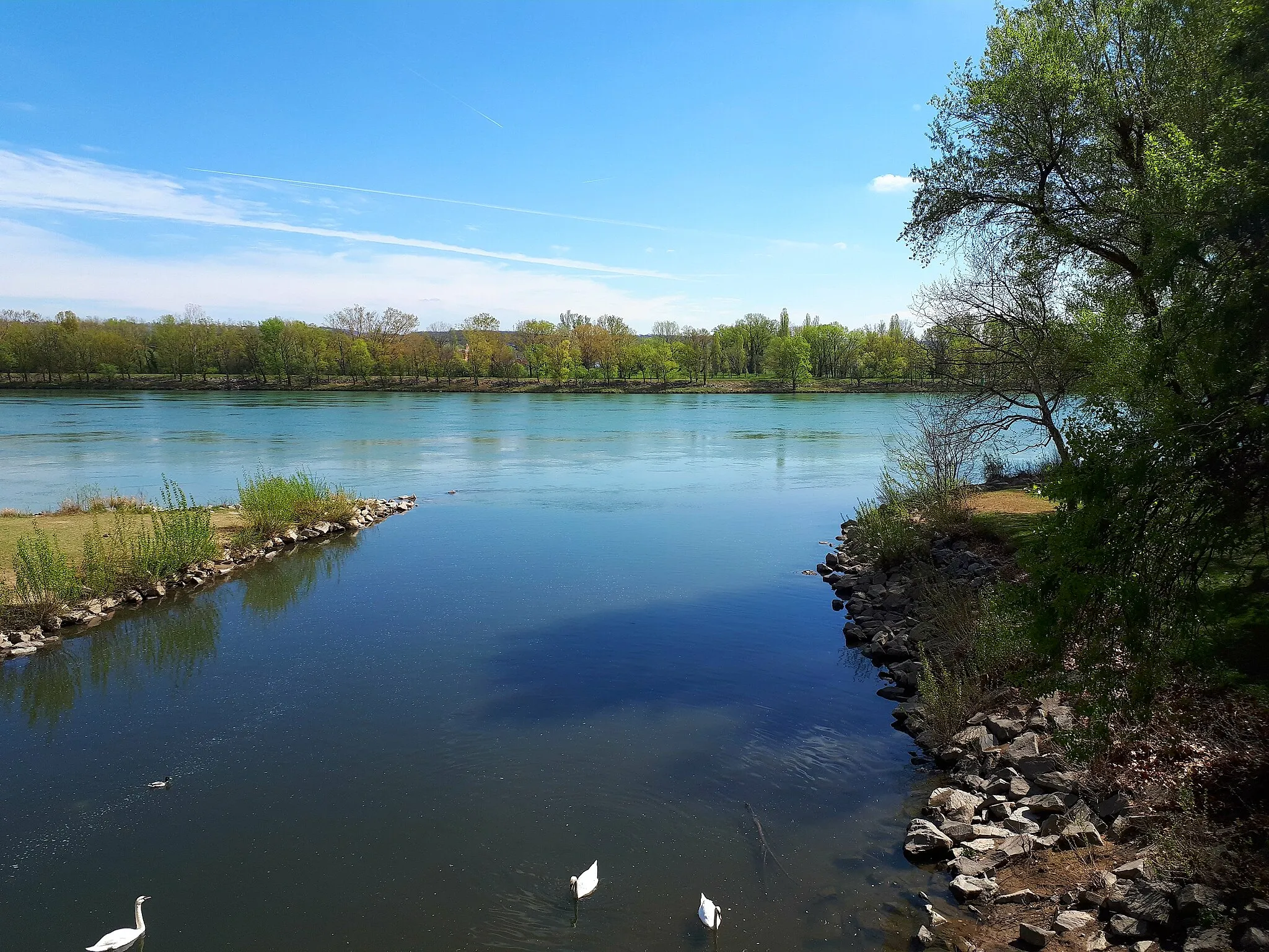
Chasse-sur-Rhône is a town located in the Rhône-Alpes region of France. Cyclists visiting Chasse-sur-Rhône can enjoy scenic rides along the Rhône River and its surrounding countryside. The region offers a mix of flat routes along the riverbanks and challenging climbs in the nearby hills. One of the must-visit cycling spots in the area is Mont Ventoux, a legendary climb that has been featured in the Tour de France multiple times. Cyclists looking for both scenic and challenging rides will find Chasse-sur-Rhône to be a great base for exploring the picturesque Rhône-Alpes region.4 km
4 km
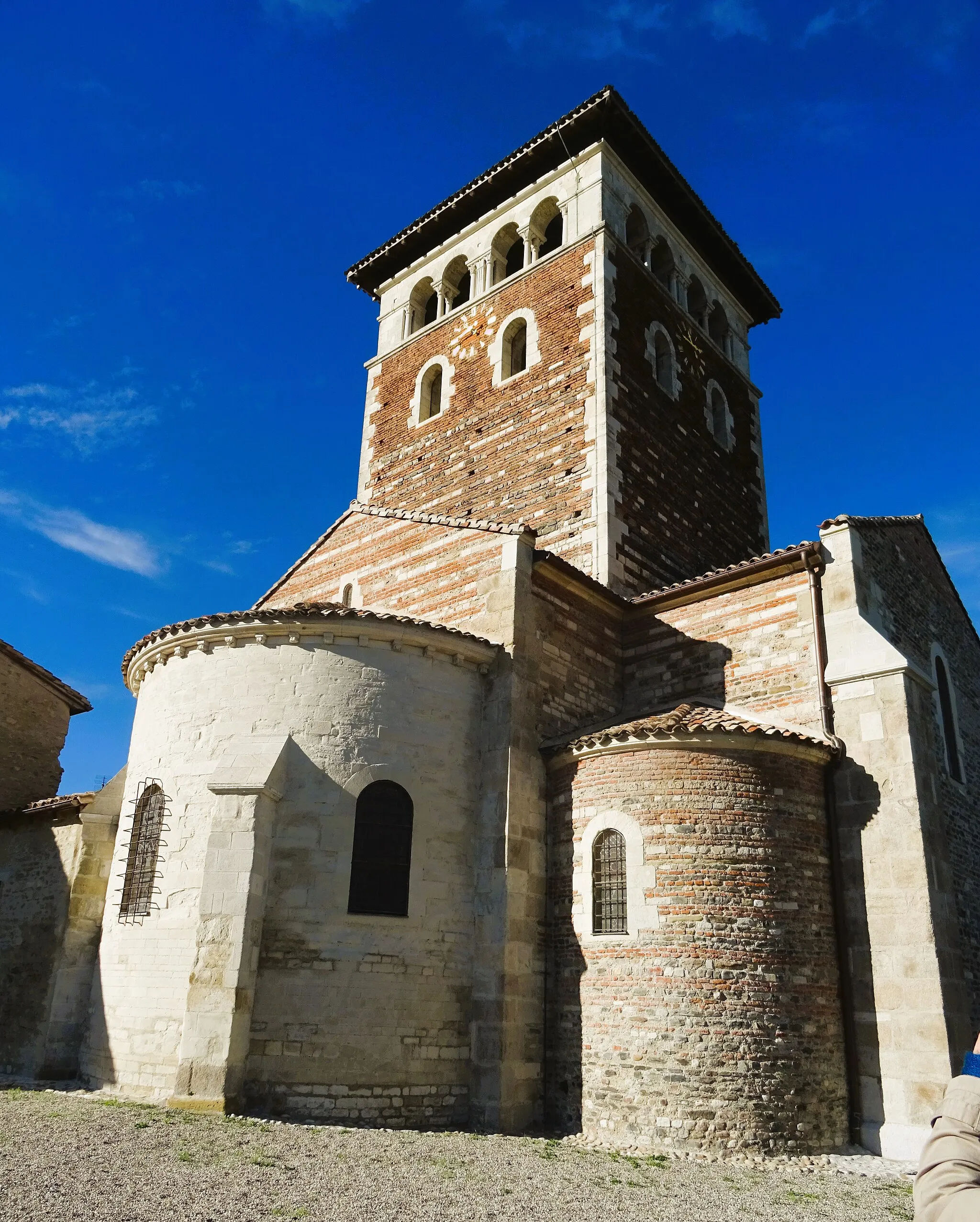
GivorsTownVisit Givors, an ancient town known for its Roman amphitheater and picturesque surroundings.
15 km
15 km
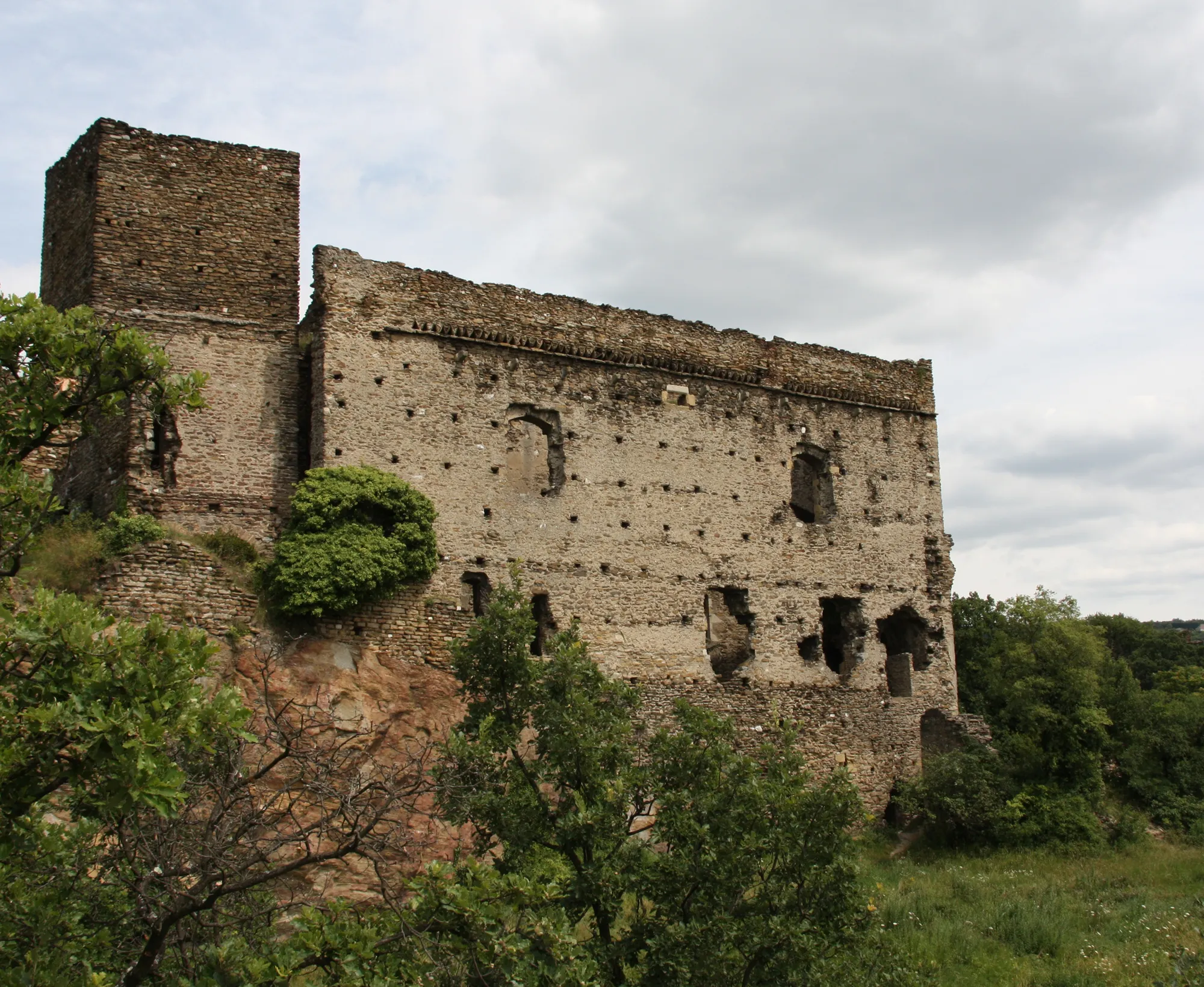
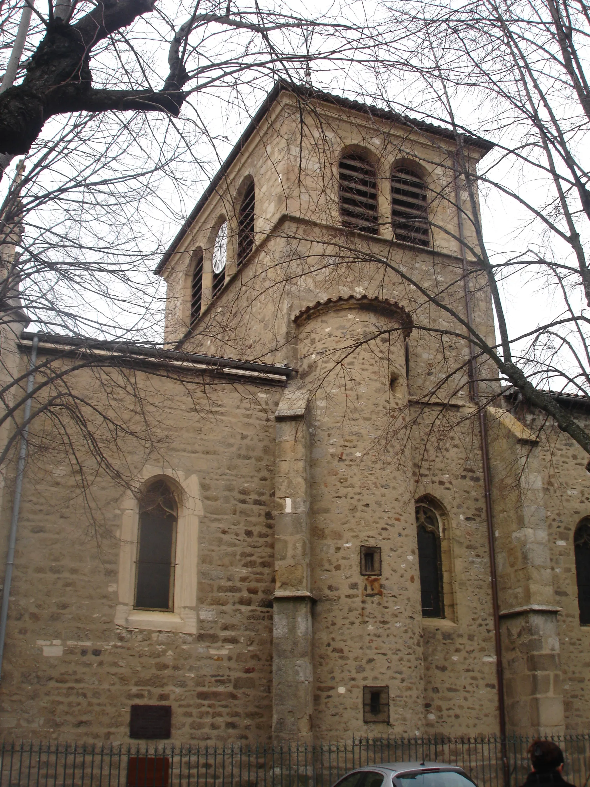
BrignaisTownExplore Brignais, a historic town with a beautiful church and charming streets.
20 km
20 km
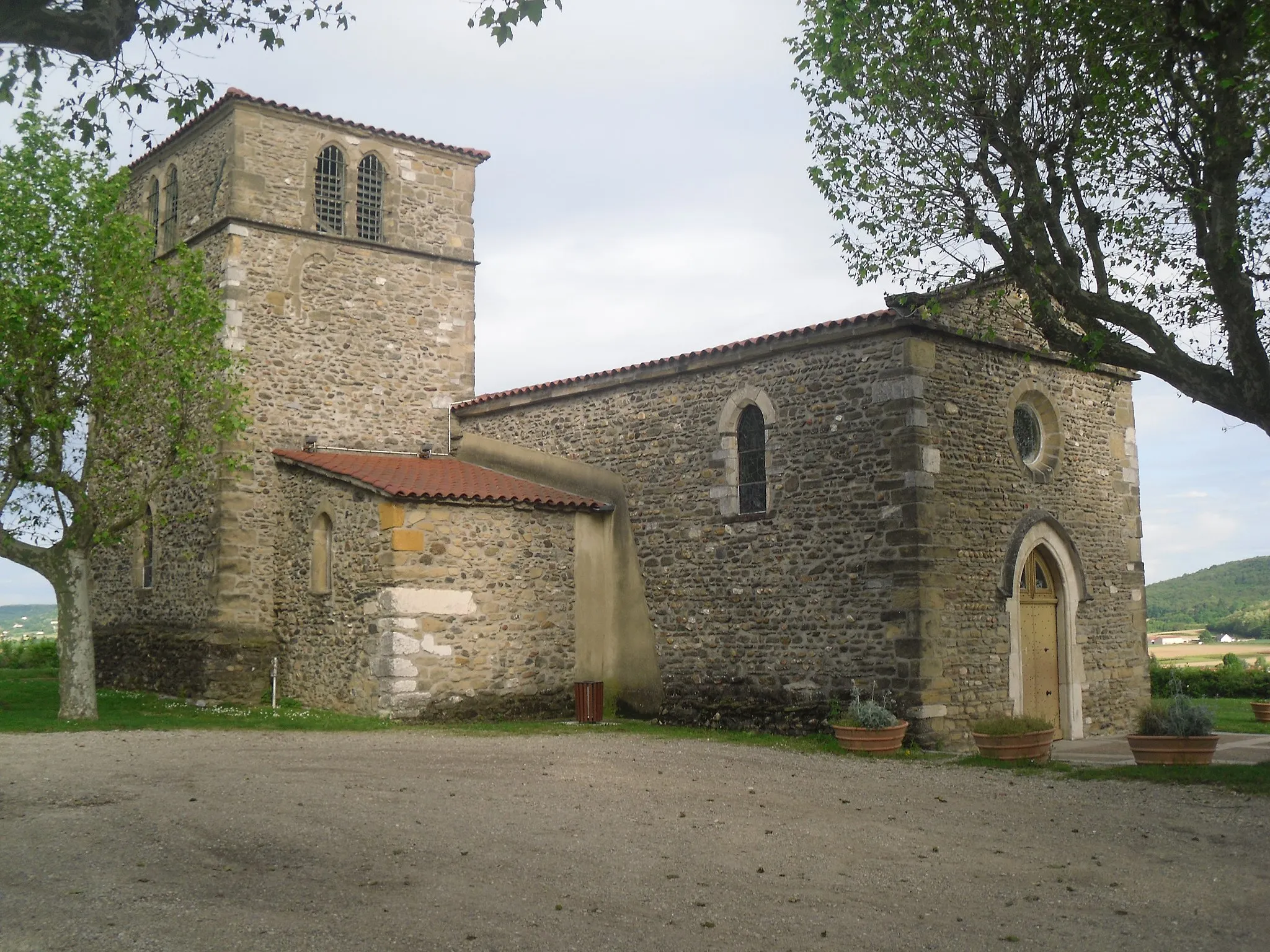
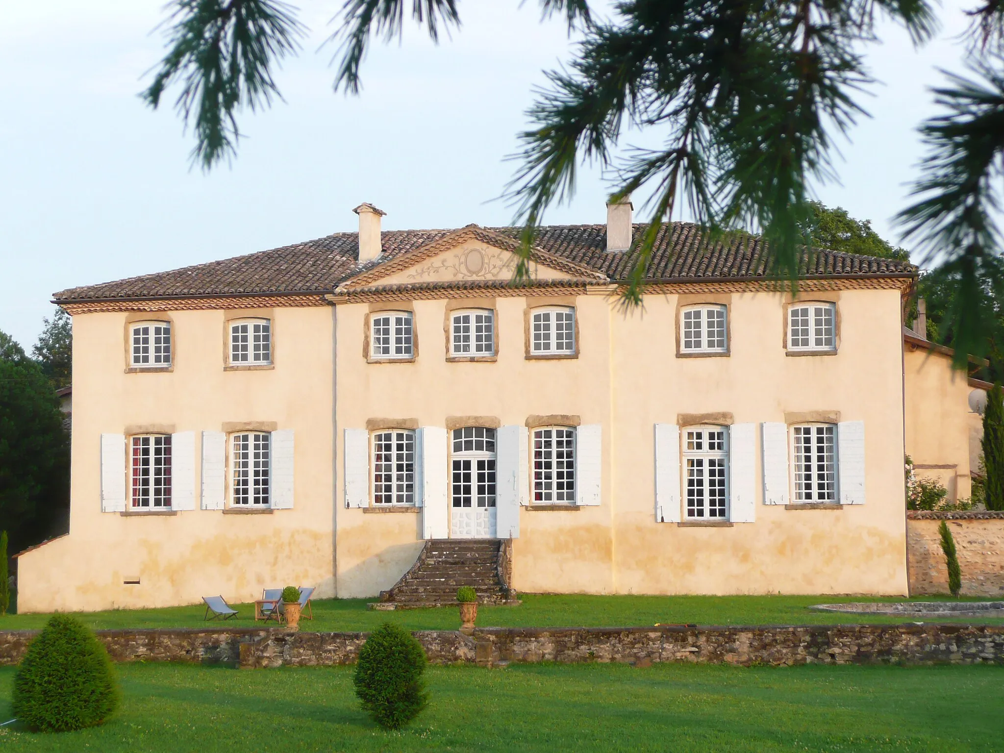
Saint-Genis-LavalTownDiscover Saint-Genis-Laval, a charming town with a rich history and lovely streets.
33 km
33 km
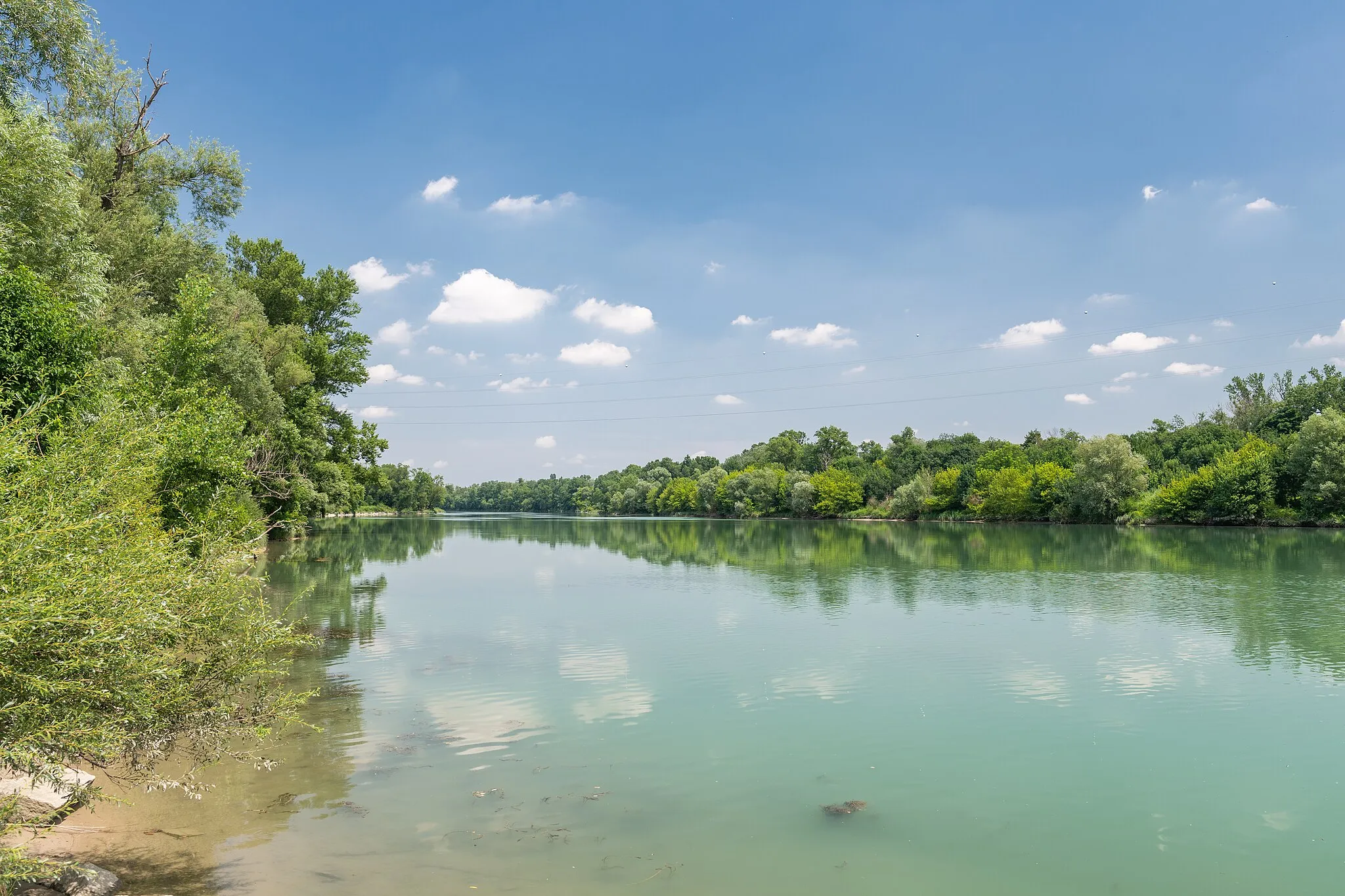
Sérézin-du-RhôneVillageEnjoy the panoramic views of the Rhône River from Sérézin-du-Rhône.
41 km
41 km
Finish: Chasse-sur-Rhône Village centerChasse-sur-Rhône: Explore the scenic Rhône-Alpes region, including the legendary climb of Mont Ventoux, from Chasse-sur-Rhône.
Cycling routes from Chasse-sur-Rhone:
Cycling routes nearby: