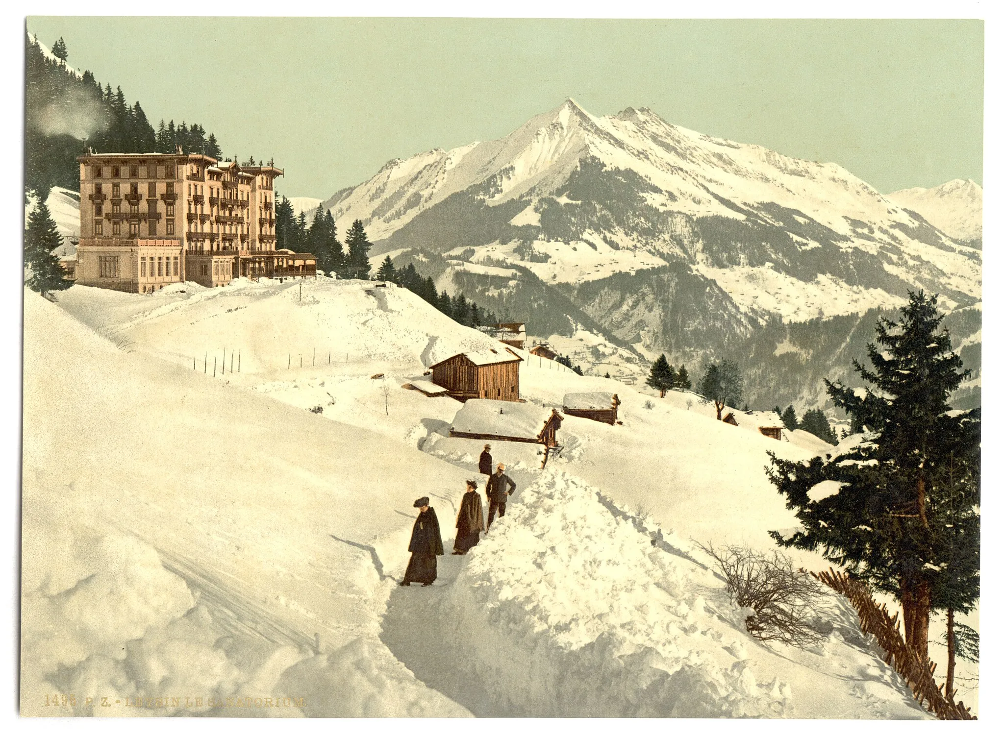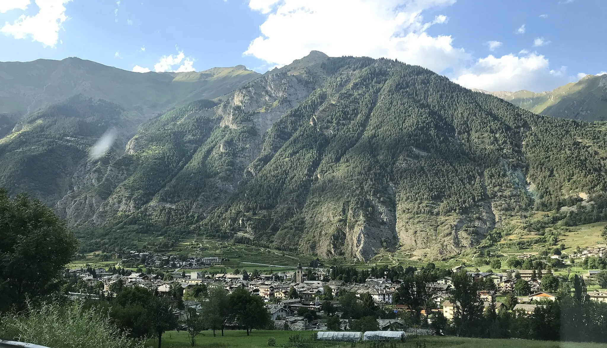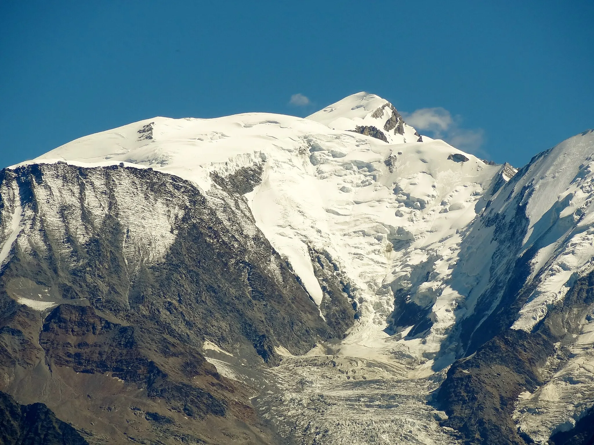
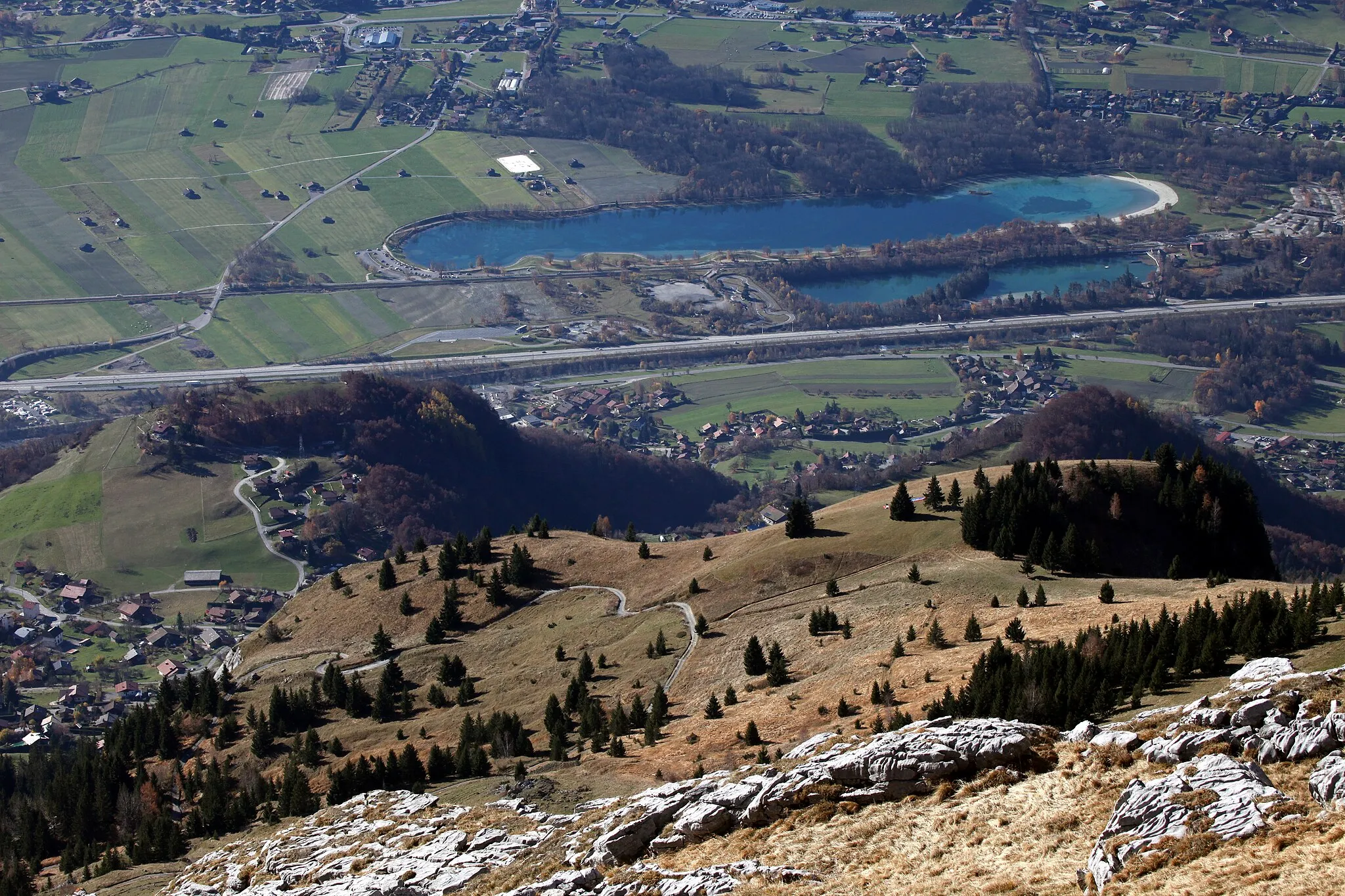
Alpine Beauty and Thrilling Climbs
Cycling routes from Combloux
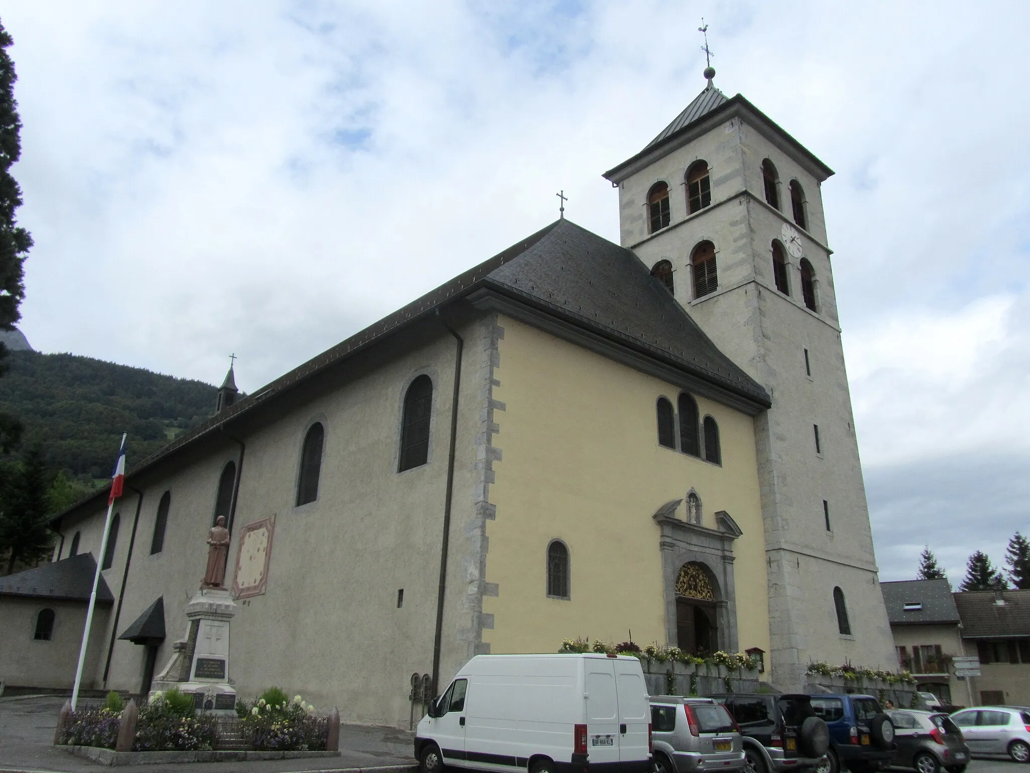
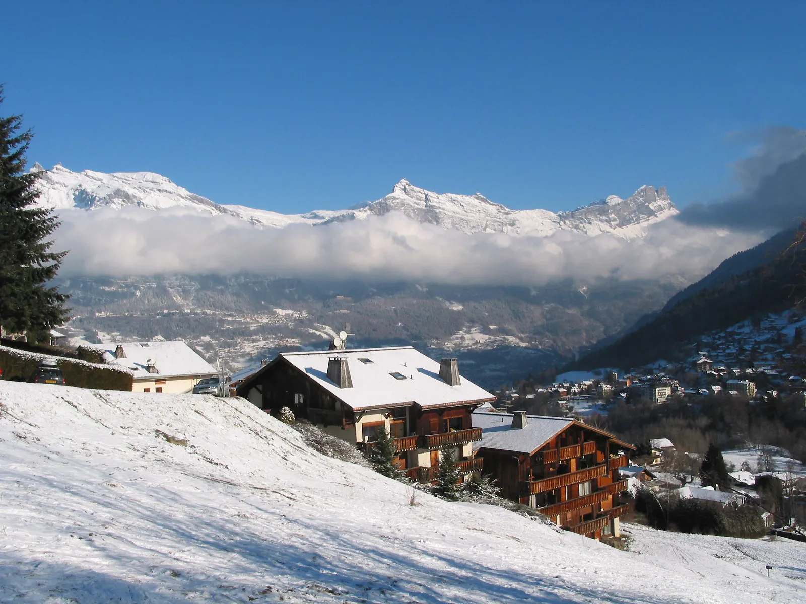
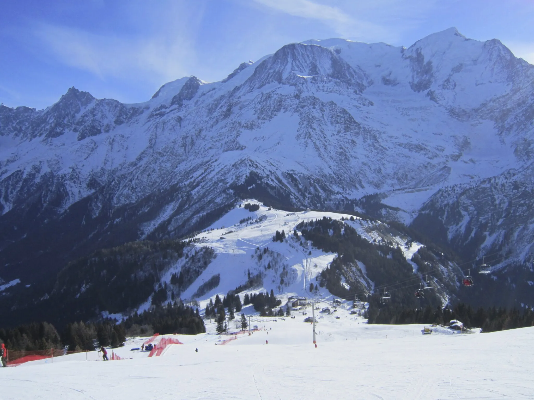
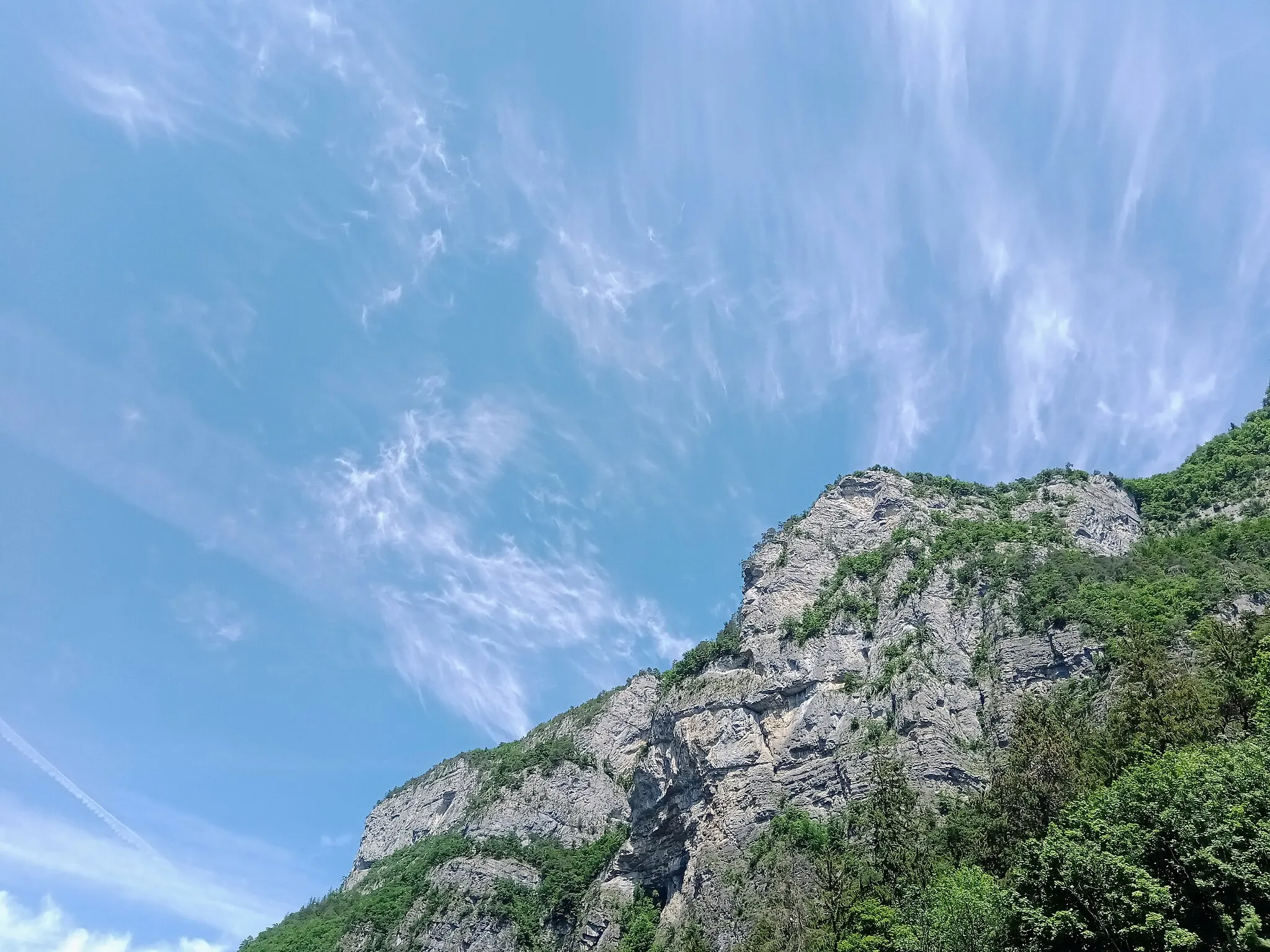
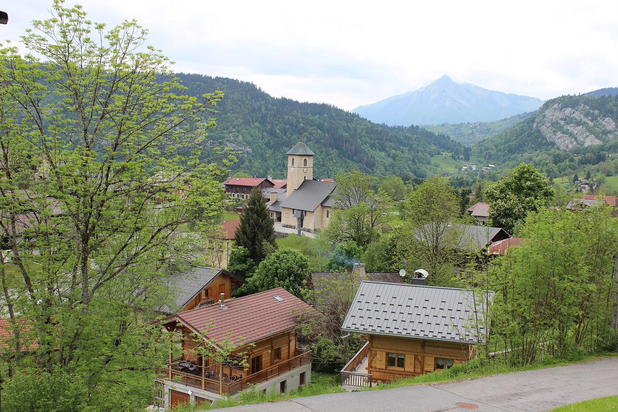
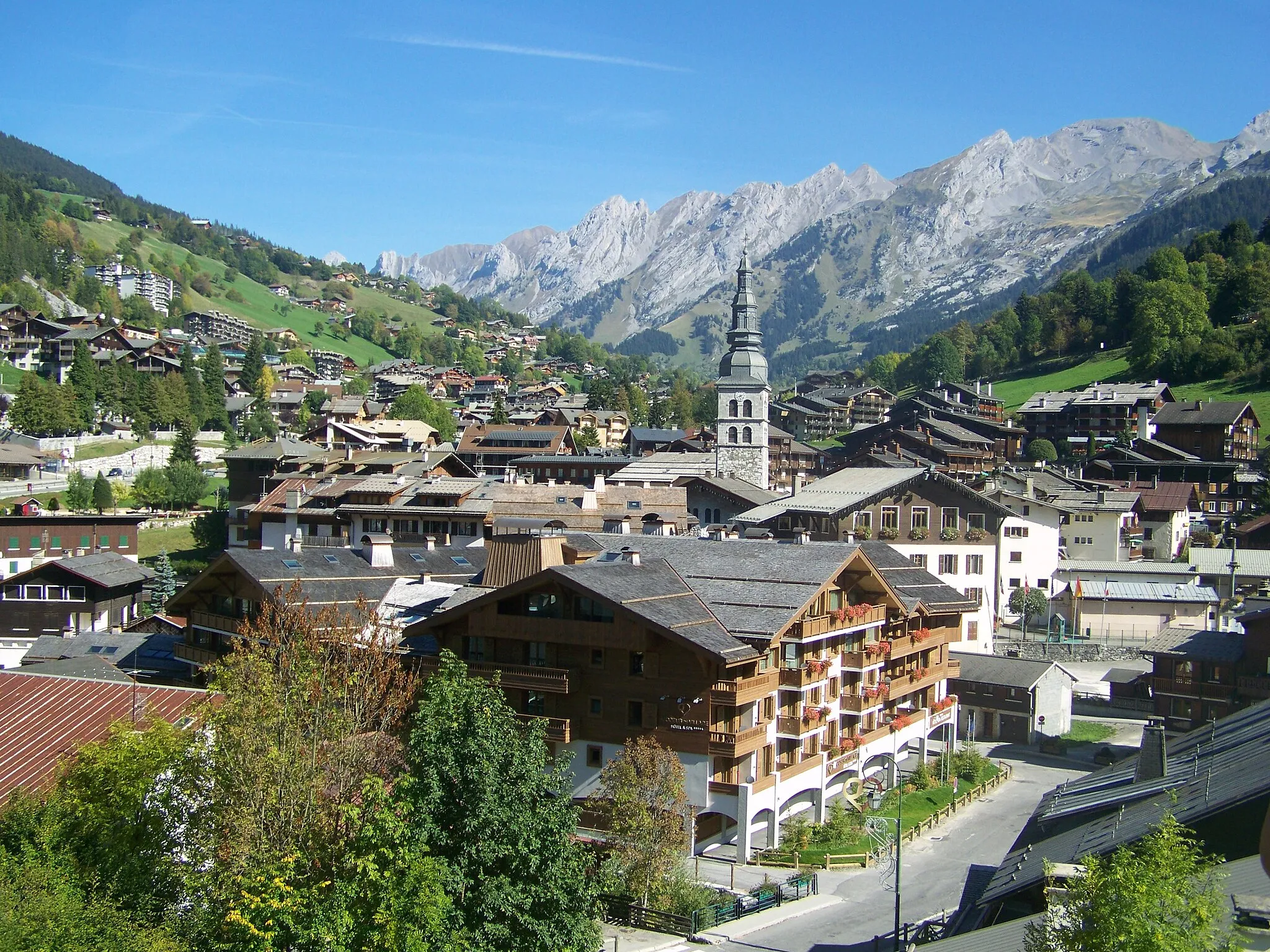
Combloux, located in Rhône-Alpes, France, is a cyclist's paradise with its stunning Alpine scenery and well-maintained cycling infrastructure. Cyclists can explore the region's breathtaking mountain passes and challenging climbs like Col des Aravis and Col de la Colombière. Combloux offers a wide range of road and gravel routes suitable for riders of all levels. Moreover, the locality hosts various cycling events and races throughout the year, making it a vibrant and exciting destination for cycling enthusiasts.
Discover the scenic beauty and charming villages on this road cycling route near Combloux.
This road cycling route near Combloux takes you through picturesque landscapes, charming villages, and impressive climbs. With a total ascent of 2525 meters and a distance of 92 kilometers, this route offers a rewarding challenge for experienced cyclists. Explore highlights such as Côte de Megeve and Col de la Colombière, and soak in the stunning views along the way. Experience the allure of the Rhône-Alpes region and enjoy the tranquility of the countryside. With a difficulty rating of 3 and an epicness score of 4, this route promises an unforgettable cycling experience.
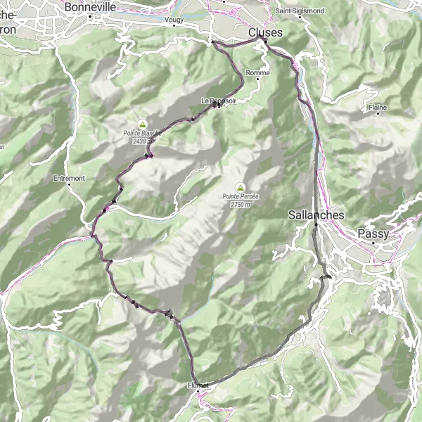
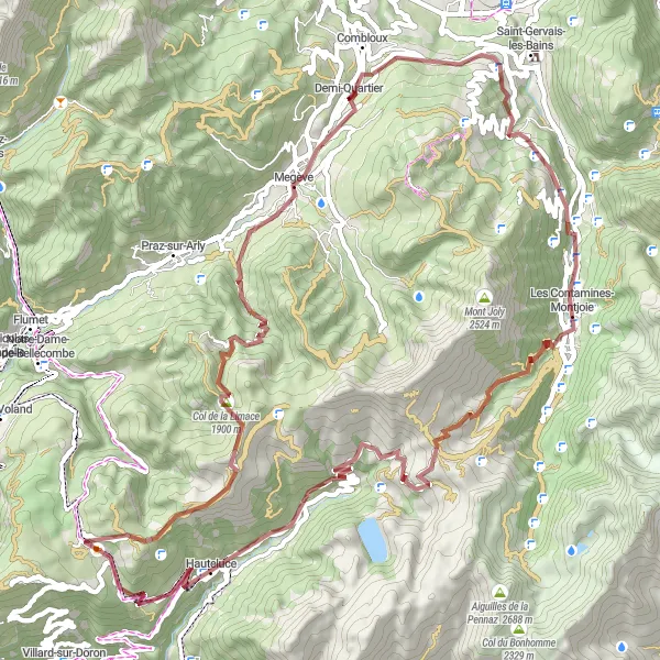
Embark on a thrilling gravel adventure starting from Combloux
This challenging and epic gravel route takes you through the scenic Rhône-Alpes region of France. With a total ascent of 2596m and covering a distance of 62km, this route promises incredible landscapes and exciting challenges along the way.

Discover the rural beauty of Notre-Dame-de-Bellecombe on this 45 km route
Experience the enchanting countryside around Combloux with this 45 km gravel route. This loop takes you through Notre-Dame-de-Bellecombe, offering picturesque landscapes and a total ascent of 1972 m. Appreciate the alpine charm of Megève and Sommet des Salles as you cycle along this undulating terrain. While shorter in distance, this route is still challenging and provides ample opportunities for beautiful photographs.
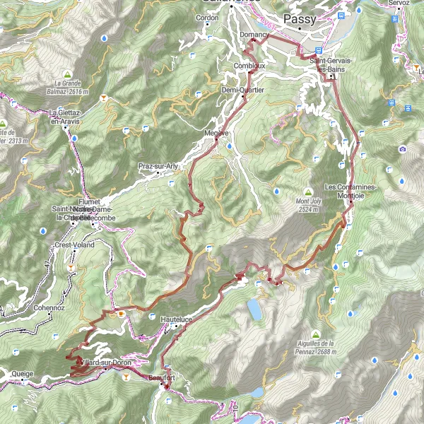
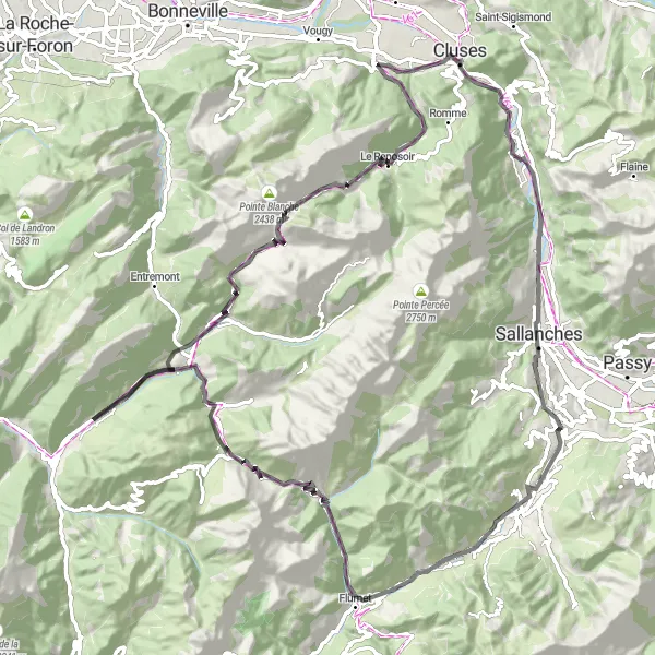
Cycle to Les Saisies through Hauteluce and enjoy breathtaking views along the way
Experience the beauty of the Rhône-Alpes region with this 70 km gravel route. Starting near Combloux, you'll pass highlights such as La Tête du Truz and Col du Joly. With a total ascent of 2421 m, this route is sure to provide a challenging and rewarding cycling experience. Marvel at the stunning landscapes and take in the fresh mountain air as you pedal through Les Contamines-Montjoie and Hauteluce.
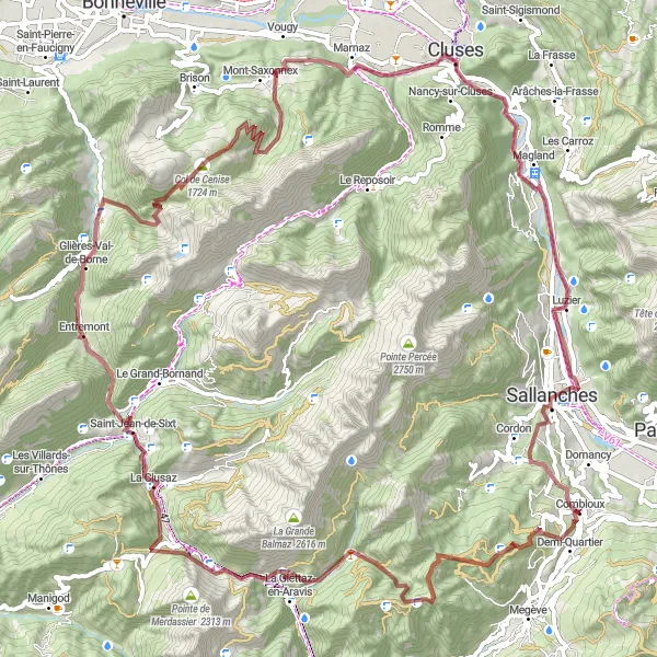
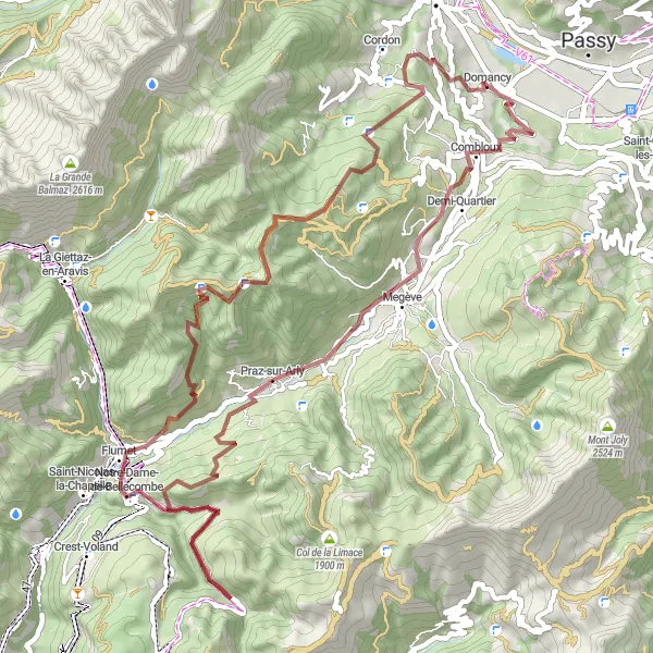
Cycle through Demi-Quartier to reach the attractive Sommet des Salles
This picturesque gravel route takes you from Combloux to Demi-Quartier, passing highlights such as the Col des Aravis and La Clusaz. The route spans a distance of 97 km and includes a total ascent of 3270 m. With its challenging terrain and stunning scenery, this route is perfect for experienced gravel cyclists.
Experience the beauty of Mont Clocher on this challenging road cycling loop
This 90 km road cycling loop takes you through the scenic terrain around Combloux. With a total ascent of 2515 m, including the demanding Côte de Megève and Col des Aravis, this route is recommended for experienced cyclists. Enjoy the picturesque views of La Giettaz-en-Aravis and Le Grand-Bornand as you conquer the challenging climbs. The route then leads you to the breathtaking Mont Clocher, offering panoramic views as your reward. Finally, cycle back to Combloux, taking in the stunning vistas along the way.
Explore the mountainous terrain and picturesque towns on this challenging gravel route near Combloux.
This gravel route near Combloux takes you through stunning alpine landscapes, charming towns, and challenging climbs. With a total ascent of 3480 meters and a distance of 95 kilometers, this route is perfect for adventurous cyclists seeking an adrenaline-filled ride. The terrain includes gravel roads, offering a unique and thrilling cycling experience. The route passes by highlights such as Domancy and Cascade des Thermes, adding to the overall allure of the journey. Prepare yourself for an epic and rewarding cycling adventure in the Rhône-Alpes region of France.

Experience the charm of the Rhône-Alpes region on this road cycling tour near Combloux.
Immerse yourself in the beauty of the Rhône-Alpes region with this charming road cycling tour near Combloux. With a total ascent of 2076 meters and a distance of 98 kilometers, this route offers a combination of scenic landscapes and historic attractions. Explore highlights such as Côte de Megeve and Château de Cohendier, and enjoy the picturesque views along the way. With a difficulty level of 3 and an epicness score of 4, cyclists of varying skill levels will find enjoyment in this enchanting journey through the French countryside.
Embark on the ultimate road cycling adventure near Combloux and conquer challenging climbs and scenic routes.
This extensive road cycling route near Combloux offers an ultimate adventure for experienced cyclists. With a total ascent of 2905 meters and a distance of 108 kilometers, it will put your endurance and biking skills to the test. Enjoy the breathtaking views and embrace the thrill of conquering highlights such as Côte de Megeve and Montagne des Auges. This challenging route is suitable for cyclists seeking an epic and rewarding experience. Beginning and ending in Combloux, the route takes you through picturesque towns and stunning mountain landscapes that epitomize the beauty of the Rhône-Alpes region.
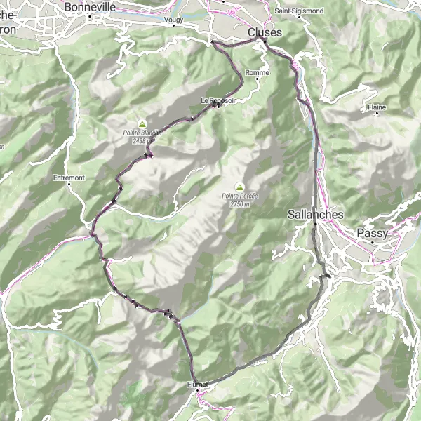
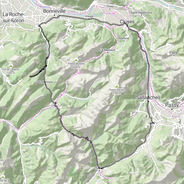
Embark on a challenging road cycling journey to Le Reposoir via Le Grand-Bornand
For those seeking a challenging road cycling route, this 103 km journey from Combloux to Le Reposoir is the perfect choice. With a total ascent of 2747 m, including the infamous Côte de Megève and Col des Aravis, this route provides a test of endurance and skill. Take in the captivating views of Praz-sur-Arly and Le Grand-Bornand as you navigate the winding roads and steep ascents. The route concludes in Le Reposoir, where you can rest and reflect on your impressive accomplishment.
Cycling routes nearby:

Nearby regions: