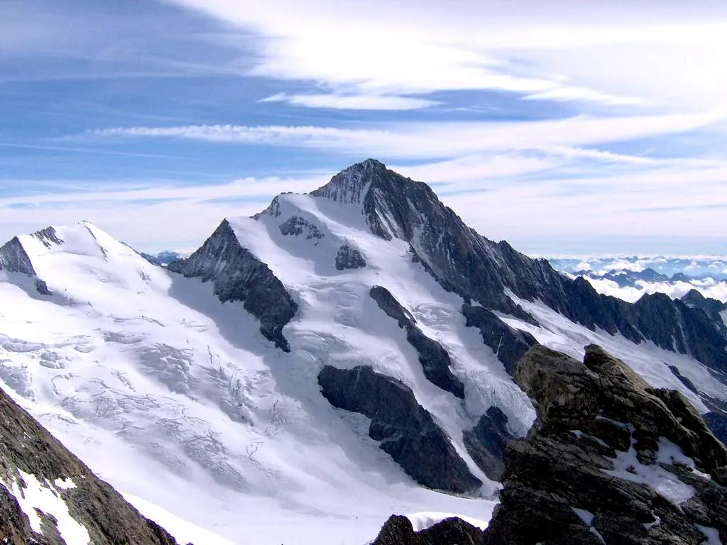
Cycling in the Shadow of Mont Blanc
Cycling routes from Megeve
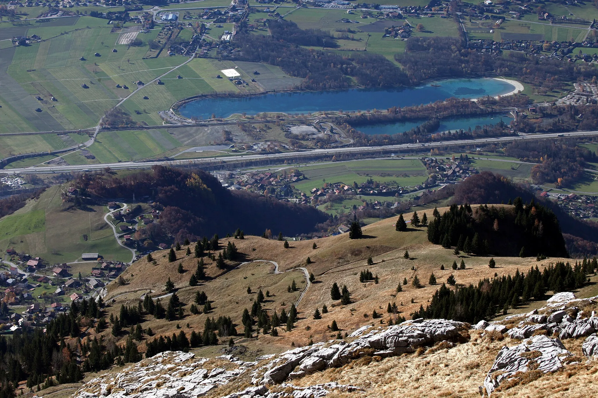
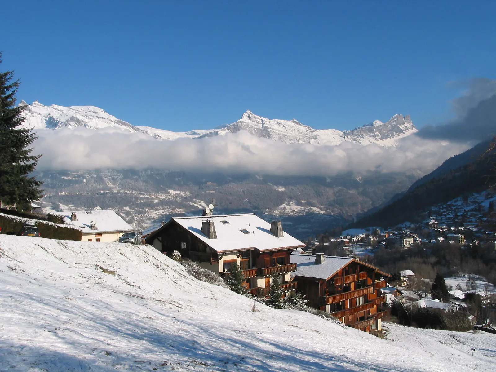
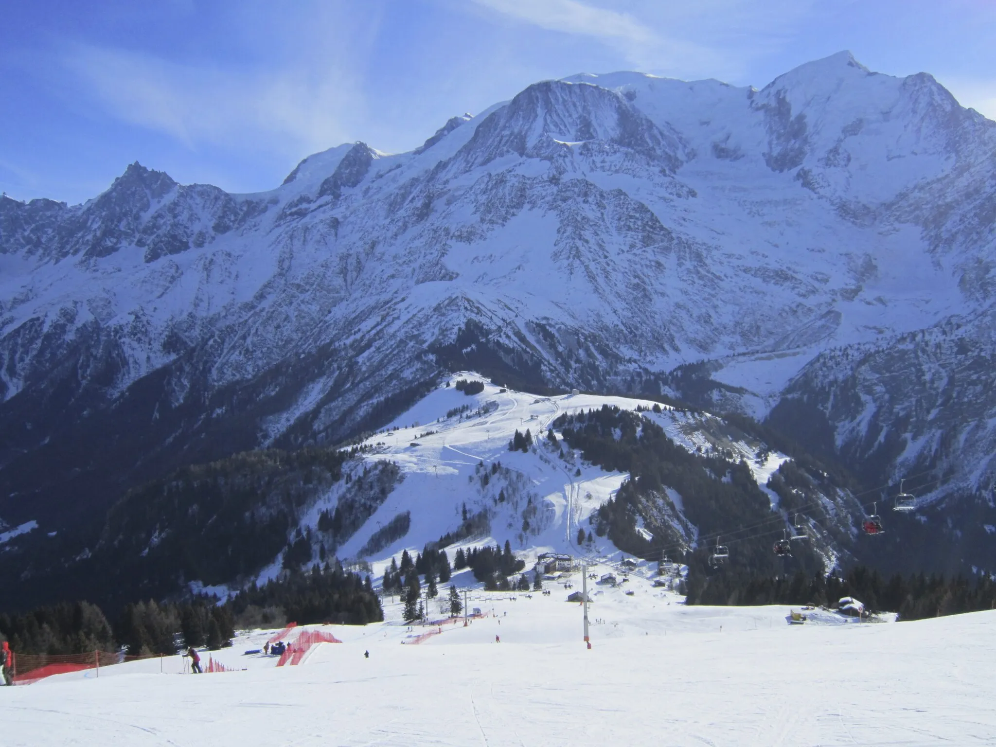
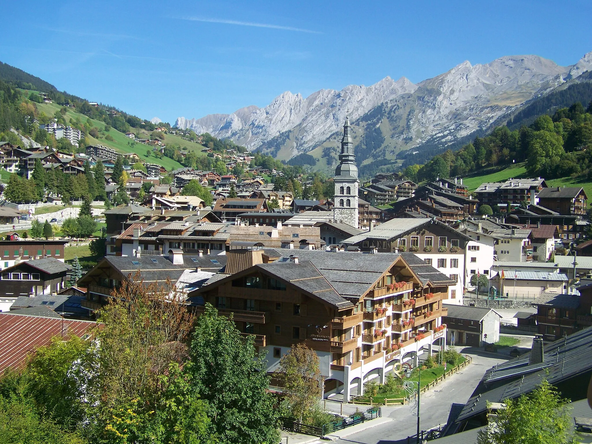
Megève, situated in the Rhône-Alpes region of France, is a popular tourist destination renowned for its skiing facilities. However, it also offers fantastic opportunities for road and gravel cycling during the summer months. Cyclists can enjoy breathtaking views as they cycle through the Mont Blanc massif and explore the numerous mountain passes in the region. Megève is a starting point for the challenging climb up to the Col des Saisies, a famous ascent featured in Tour de France. With its stunning alpine scenery and well-maintained cycling routes, Megève is a must-visit destination for cycling enthusiasts.
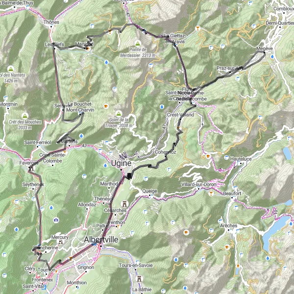
Les Clefs to Tête du Torraz
Experience the thrill of gravel cycling from Les Clefs to Tête du Torraz
Embark on a unique gravel cycling adventure from Les Clefs to Tête du Torraz, covering a distance of 63km with an ascent of 2797m. This route offers a mix of challenging climbs and scenic trails, perfect for gravel cyclists looking for a thrilling experience in the French Alps.
From Megève to Col de l'Épine, conquer the challenging ascent with stunning views
Embark on an epic cycling journey from Megève to Col de l'Épine, covering a distance of 130km and ascending 3758m. This route offers breathtaking views of the picturesque landscapes along the way. It is suitable for well-trained amateurs seeking a challenging adventure.
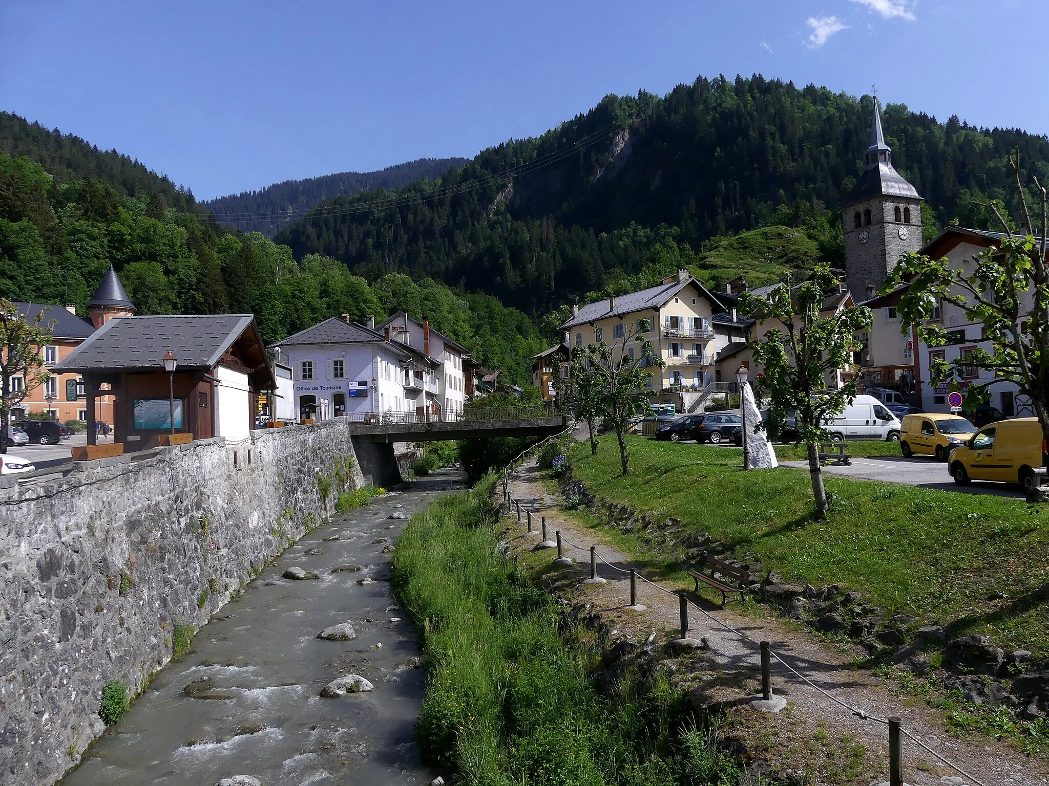
Experience the diverse landscapes of the Rhône-Alpes region on this road cycling route that takes you from Megève to Saint-Pierre-en-Faucigny.
This scenic route offers a total ascent of 1994 meters over a distance of 95 kilometers. You'll pass through charming villages, lush forests, and rolling hills, experiencing the beauty of the French Alps. The highlight of the route is the Col des Aravis, a challenging climb beloved by professional cyclists.

An exhilarating gravel ride from Megève to Les Saisies via Col du Méraillet
Embark on a thrilling gravel adventure from Megève to Les Saisies via Col du Méraillet, covering 91km with an ascent of 4091m. This route offers a mix of challenging climbs and breathtaking descents, providing an unforgettable experience for gravel enthusiasts.

A thrilling gravel route with challenging climbs and breathtaking alpine scenery
Embark on an unforgettable gravel adventure from Megève to Les Saisies, exploring the rugged beauty of the Rhône-Alpes region. With a total distance of 114 km and an ascent of 4848 m, this route is perfect for experienced gravel riders seeking a true challenge. Highlights along the way include Mont d'Arbois, Les Contamines-Montjoie, and Col des Saisies.
Embark on a challenging road cycling adventure from Megève to Col de la Colombière and test your skills on steep climbs and thrilling descents.
This demanding route offers a total ascent of 3341 meters over a distance of 131 kilometers. You'll ride through picturesque Alpine villages, alongside majestic mountains, and conquer legendary mountain passes. The highlight of the route is the Col des Aravis, a famous climb featured in the Tour de France.

A road cycling adventure from Praz-sur-Arly to Col de Bluffy
Embark on an exciting road cycling journey from Praz-sur-Arly to Col de Bluffy, covering a distance of 175km with an ascent of 4060m. This route offers a mix of challenging climbs and scenic roads, providing a memorable experience for avid cyclists seeking a long-distance challenge.
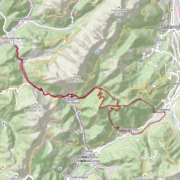
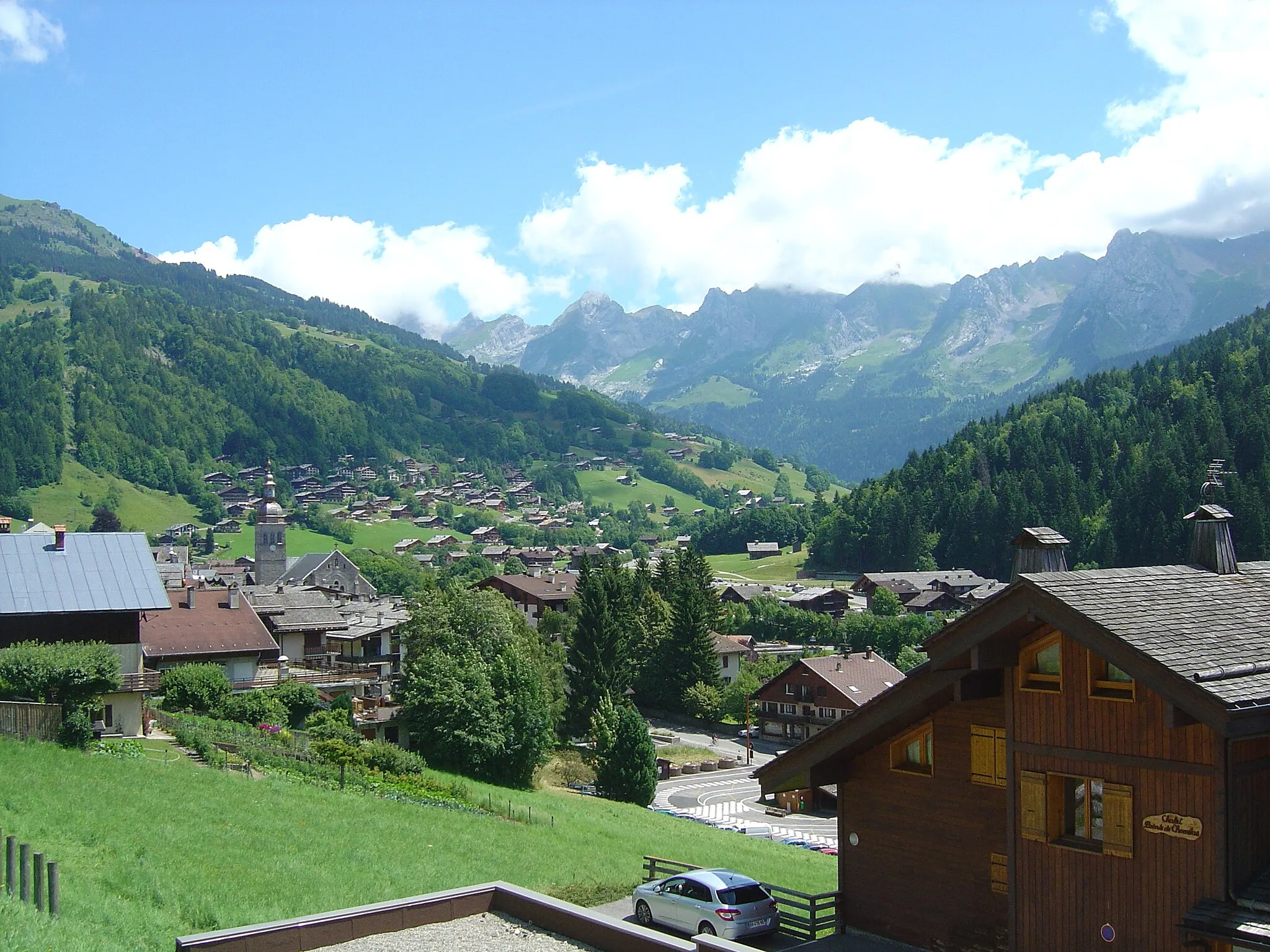
Megève - Col des Aravis Loop
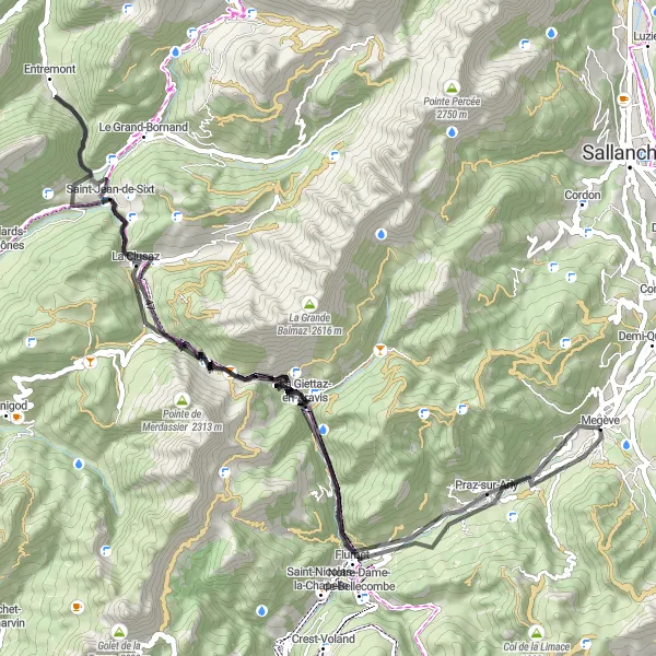
A beautiful road cycling route through the scenic Rhône-Alpes region
This road cycling route near Megève takes you through picturesque villages and stunning mountain landscapes. With a total distance of 76 km and an ascent of 2551 m, it offers a challenging yet rewarding experience for cyclists. The route passes highlights such as La Giettaz-en-Aravis, Saint-Jean-de-Sixt, and Flumet.
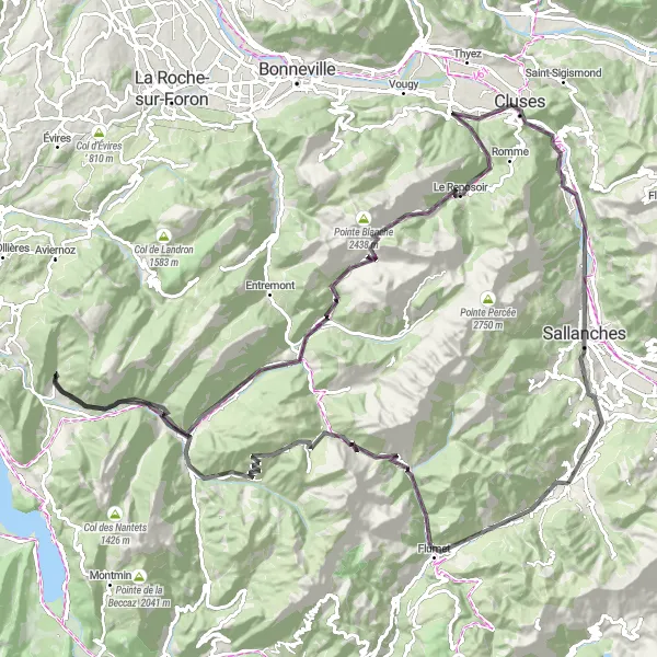
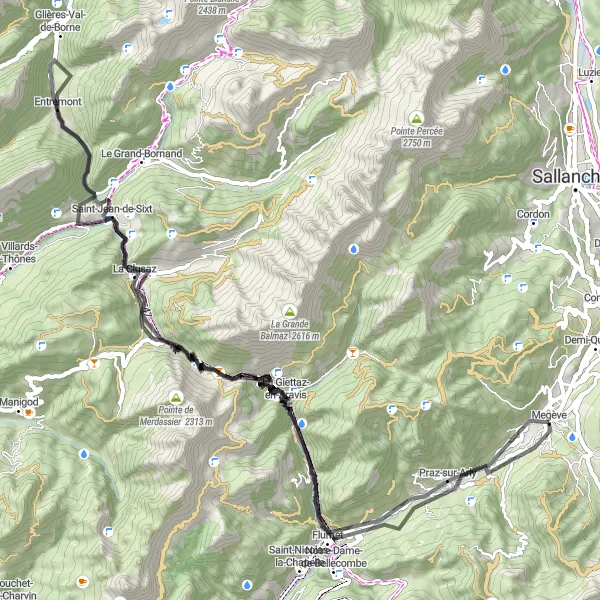
Explore the breathtaking scenery of the Rhône-Alpes region on this road cycling route that takes you from Megève to Col des Aravis.
This route offers stunning panoramic views of the surrounding mountains and valleys. You'll challenge yourself with a total ascent of 2829 meters over a distance of 99 kilometers. The highlight of the route is the iconic Col des Aravis, a famous climb in the Tour de France.
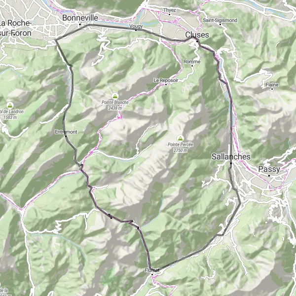
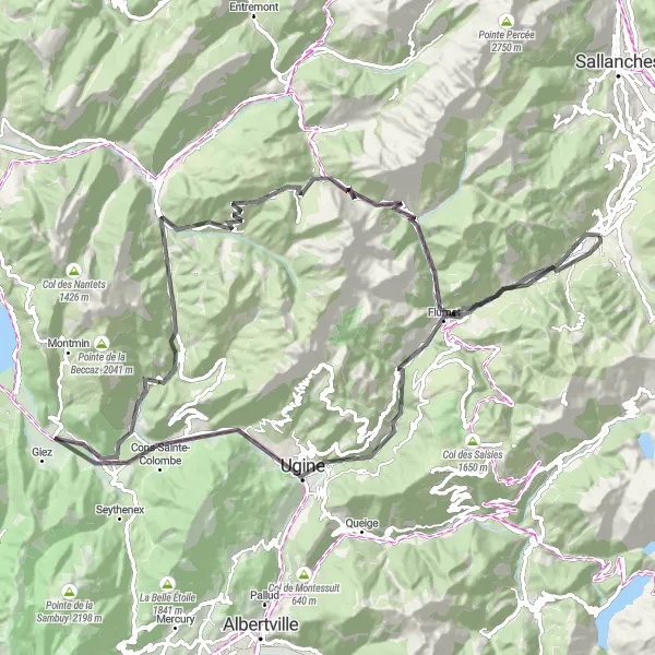
Megève - Cassioz Scenic Road
Embark on a scenic road cycling journey from Megève to Cassioz and immerse yourself in the natural beauty of the Rhône-Alpes region.
This road route offers stunning views of the French Alps and a total ascent of 2695 meters over a distance of 82 kilometers. You'll ride through charming villages, lush valleys, and peaceful countryside, experiencing the tranquility of the French countryside. The highlight of the route is the Col des Aravis, a famous climbing spot loved by cyclists worldwide.
Cycling routes nearby:

Nearby regions: